Parking
Use the Rowena Crest turnaround / viewpoint parking; the signed trail begins on its south side. Lot capacity and busy times are unverified.
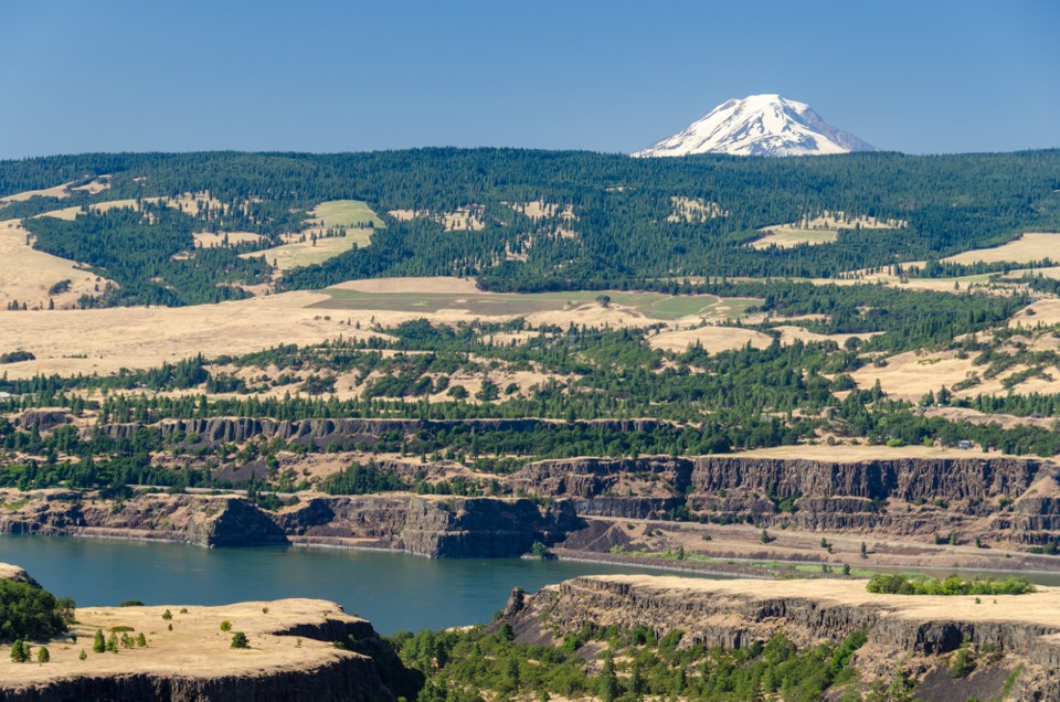
#11 of 111 trails in Columbia River Gorge
Columbia River Gorge National Scenic Area, OR · WA
Spring flowers lead to a windy bluff with big Gorge views.
Overview
Tom McCall Point Trail is a 3.5-mile out-and-back from Rowena Crest to a high bluff above the Columbia River, climbing roughly 1,030 feet along the way. It suits hikers who would trade forest shade for open hillsides, broad Gorge views, and a famous spring flower display. Allow about three hours with stops. The mileage is modest, but the climb is steady and the upper slopes are exposed, so it takes more effort than the distance suggests.
 Parkwolf’s verdictIs this the Gorge hike for you?
Map & elevation
Plan your hike

The highest, rockiest slopes around here are a summer buffet for grizzly bears.
Columbia River Gorge Tour Guide
Parkwolf is a GPS audio tour guide for Columbia River Gorge National Scenic Area. As you drive, it chimes in with what’s ahead: hidden gems, upcoming stops, history, geology, and wildlife, right through your car’s speakers.
Recorded for this trailhead
Rowena Crest and the Loops“You're nearing Rowena Crest Overlook, where the old highway curls through tight bends below a broad view of the Columbia.”
Plays as you drive up to this trailhead in the Parkwolf Columbia River Gorge Tour Guide.
More stories near here in the app
“Fantastic app with many points of information… It’s great to just turn on while you’re driving and it gives you an audio tour of the national Park. We love it!!!!”


Trail guide
Start on the south side of the Rowena Crest turnaround and cross a flat patch of grass and packed tread for about a tenth of a mile. The route then joins an old road cut into the hill, thought to follow an 1870s wagon route between The Dalles and Hood River. It climbs through scattered oaks before crossing open bunchgrass slopes in long switchbacks. The first views open back toward Rowena Plateau, its curved highway bridge, and Mount Defiance. Higher up, the track narrows along the ridge, with steep ground close by in places. The Columbia and Mount Adams open into view across the slope. Underfoot, expect hard-packed dirt and gravel, then rougher, rocky or stair-stepped stretches rather than a smooth path.
The named point is the turnaround for this itinerary. Pause for the wide look downriver and across the Gorge; Mount Hood joins the view from the summit, while Mount Adams stands out to the north. Spring brings balsamroot, lupine, paintbrush, and smaller flowers across a preserve with more than 300 plant species; the strongest bloom is generally in April and May. Frame the flowers with the basalt cliffs or distant peaks, and stay on the tread to protect the fragile grassland. A fainter trail continues over a steep saddle toward a second summit and small cairn. That is an optional extension, not part of the 3.5-mile route to Tom McCall Point; turn back at the named point for the mapped hike here.
Expect wind and little shade on the ridge. The marked path approaches cliff edges in places; keep to it, watch rocky footing, and look out for poison oak and ticks in the lower oak and grassland. The first half-mile is described as moderately accessible, but the rest becomes narrow, steep, stepped, and rocky, so the full hike is not suitable for mobility devices. Dogs, bikes, and horses are prohibited. The preserve closes seasonally, but published opening dates conflict: one listing says March through October and another says May through October. Confirm that the point trail is open before setting out. Park at the Rowena Crest turnaround; the route starts on its south side. No restrooms are reported at the trailhead, and food on the walk is not documented. Mosier Totem Plaza is identified as a restroom stop; Mayer State Park has the nearest picnic area.
Wildlife
 267 sightingsBald EagleMost seen around 7 AMSighting map
 51 sightingsBlack BearMost seen around 7 PMSighting map
 136 sightingsAmerican PikaMost seen around 8 AMSighting map
 16 sightingsWapitiMost seen around 7 AMSighting map
 195 sightingsMule DeerMost seen around 7 AMSighting map
 74 sightingsChinook SalmonMost seen around 6 PMSighting map
Sighting maps show where each species has been reported across Columbia River Gorge. Wildlife moves, so no sighting is guaranteed.
Keep exploring
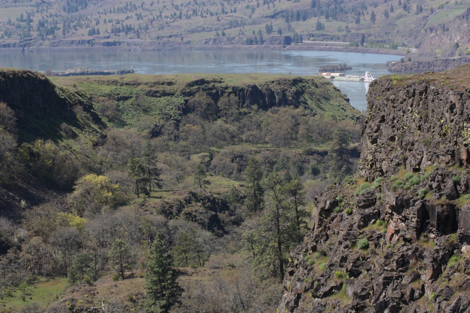 EasyRowena Plateau Loop2.6 mi · 1.5 hr · 0.1 mi awayIce Age ponds, spring flowers and two big views from the plateau.
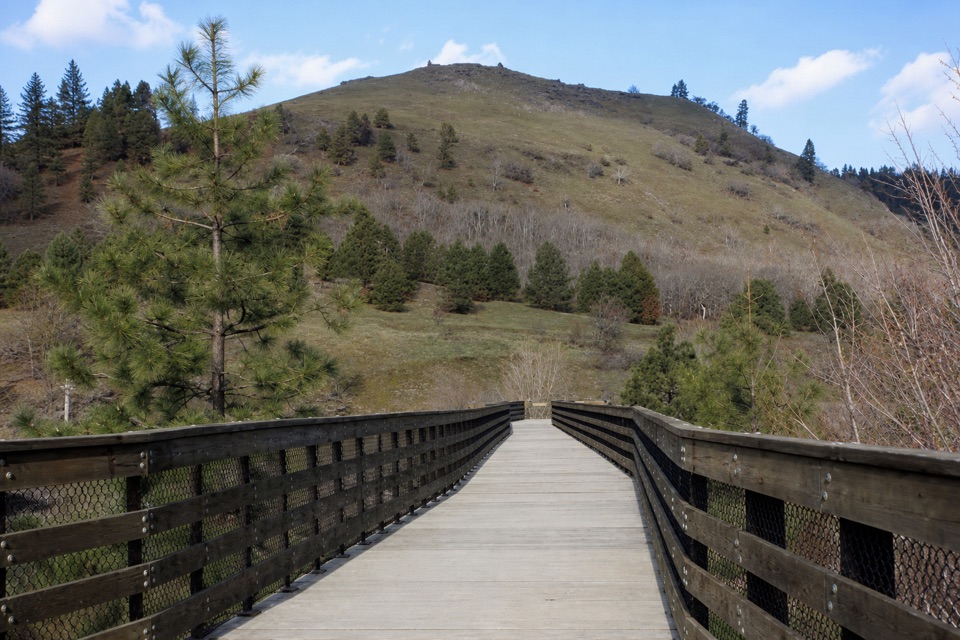 EasyKlickitat Trail: Lyle to Fisher Hill Trestle3.2 mi · 1.5 hr · 1.1 mi awayEasy riverside walking ends at Fisher Hill’s high trestle.
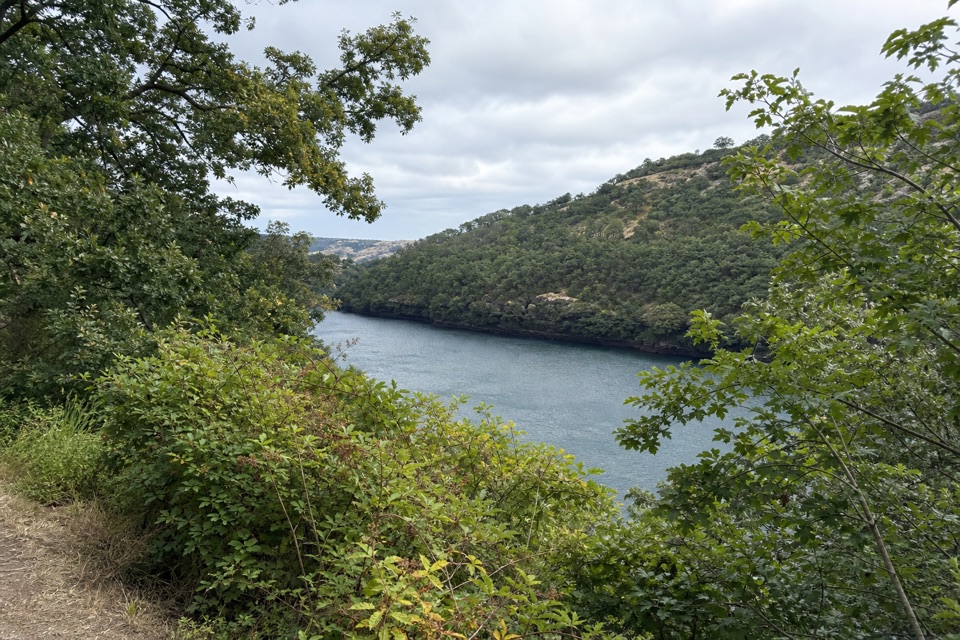 EasyBalfour-Klickitat Loop0.8 mi · 30 min · 1.2 mi awayA short paved loop to a bird blind above the Klickitat.
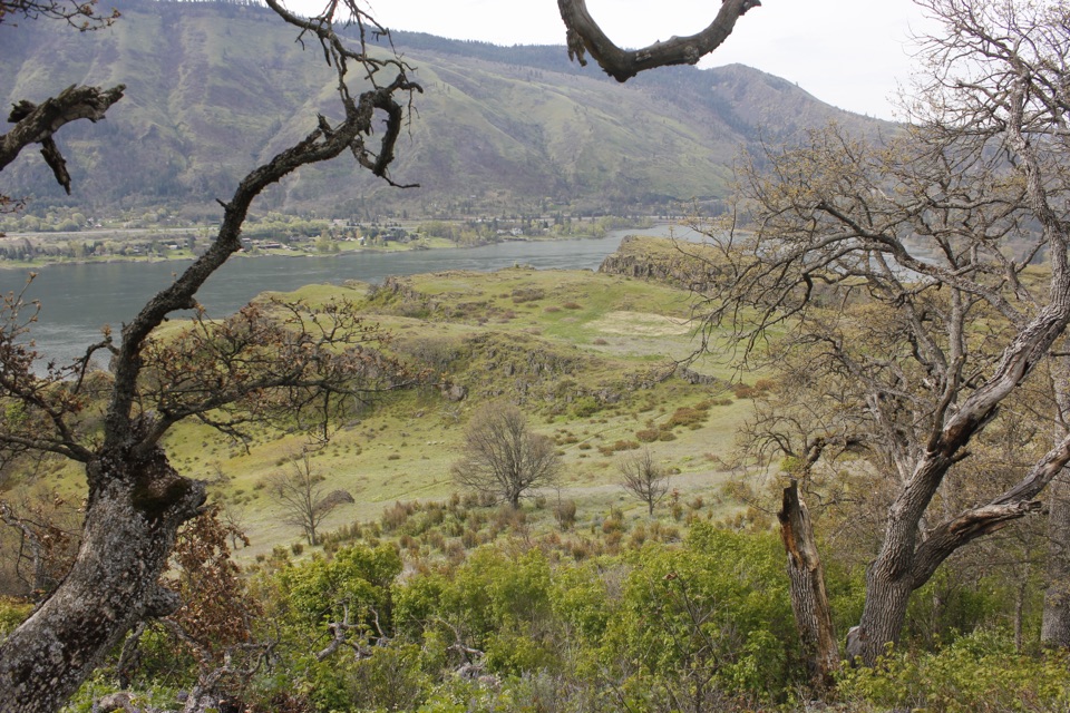 ModerateLyle Cherry Orchard Trail5 mi · 3.5 hr · 1.7 mi awayAn old orchard and spring blooms above the Columbia.
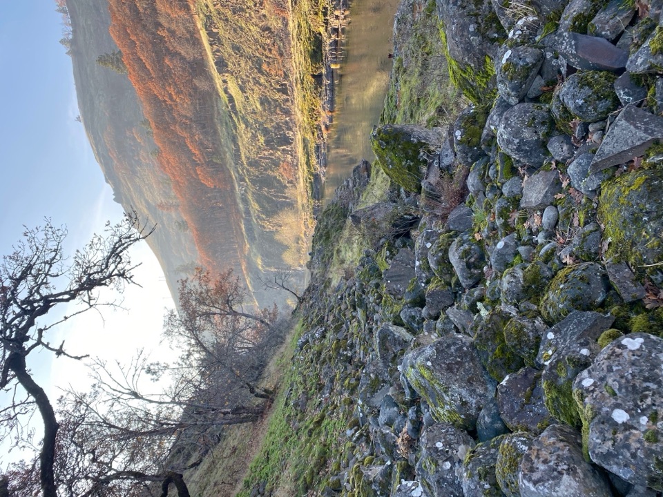 ModerateKlickitat Trail — Fisher Hill to Klickitat11.4 mi · 5 hr · 2.5 mi awayA quiet riverside rail bed, with a fishway and a long walk.
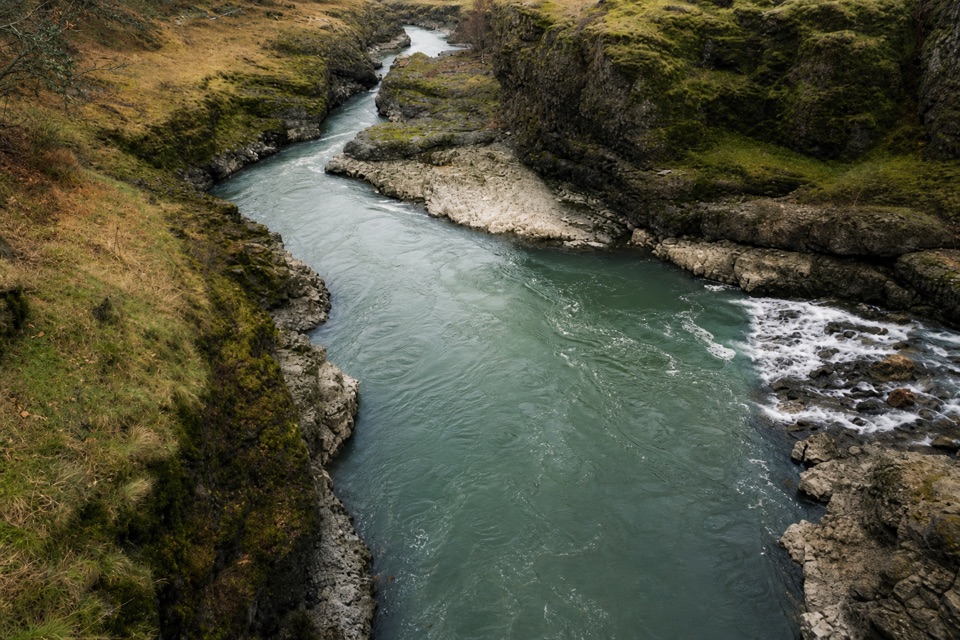 ModerateKlickitat Trail: Fisher Hill Bridge to Pitt8.5 mi · 4 hr · 2.6 mi awayA long, gentle rail-trail walk beside the Klickitat River.
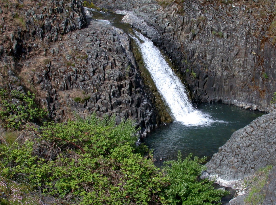 EasyCatherine Creek Interpretive Trail1 mi · 54 min · 3.5 mi awayA paved mile through wildflower slopes to the Catherine Creek Falls view.
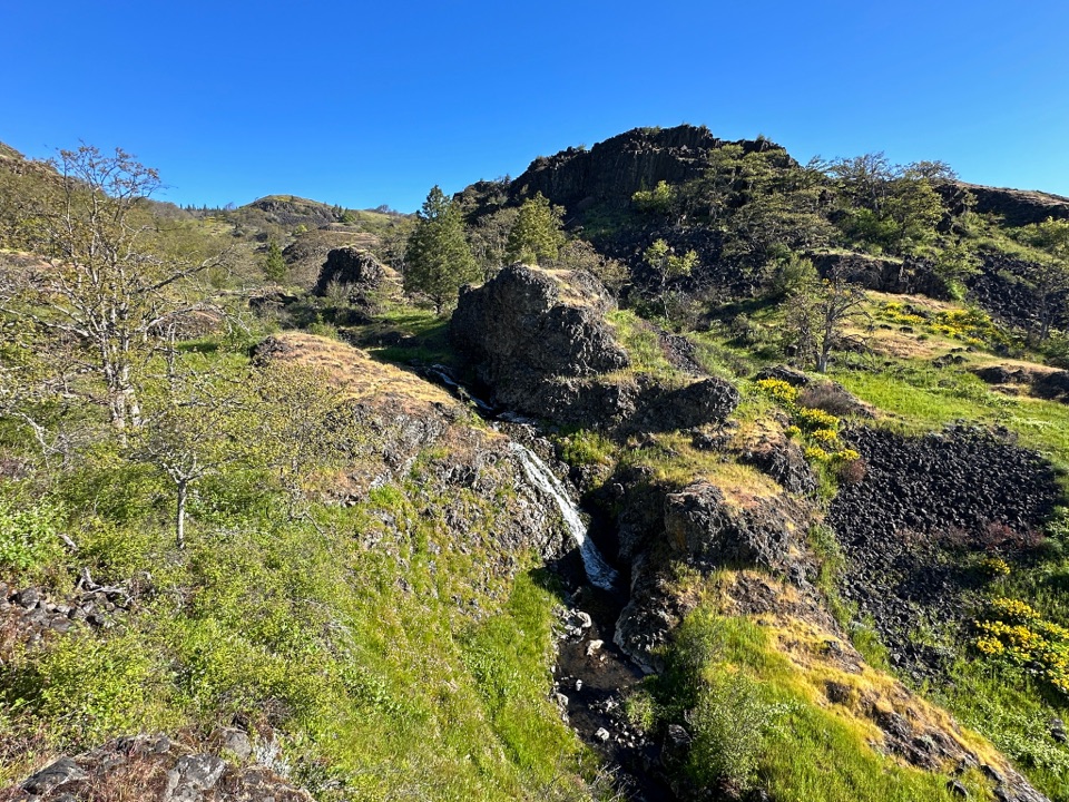 ModerateCatherine Creek Labyrinth3.6 mi · 3 hr · 4.3 mi awayA basalt maze, a creekside waterfall, and a viewpoint worth the climb.
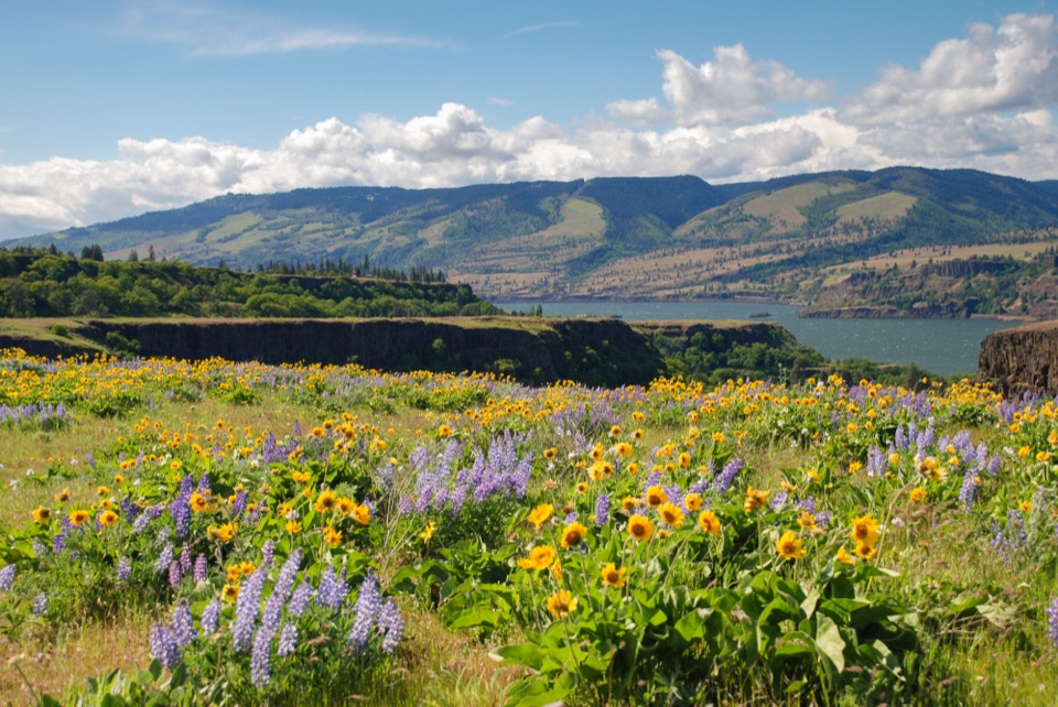 Sight · 0.1 mi awayRowena Crest OverlookSee the Columbia and Rowena Loops together in one roadside view.
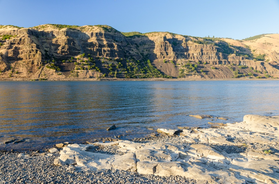 Sight · 0.6 mi awayMayer State Park – River AccessChoose among wind sports, sheltered paddling, or a riverbank picnic.
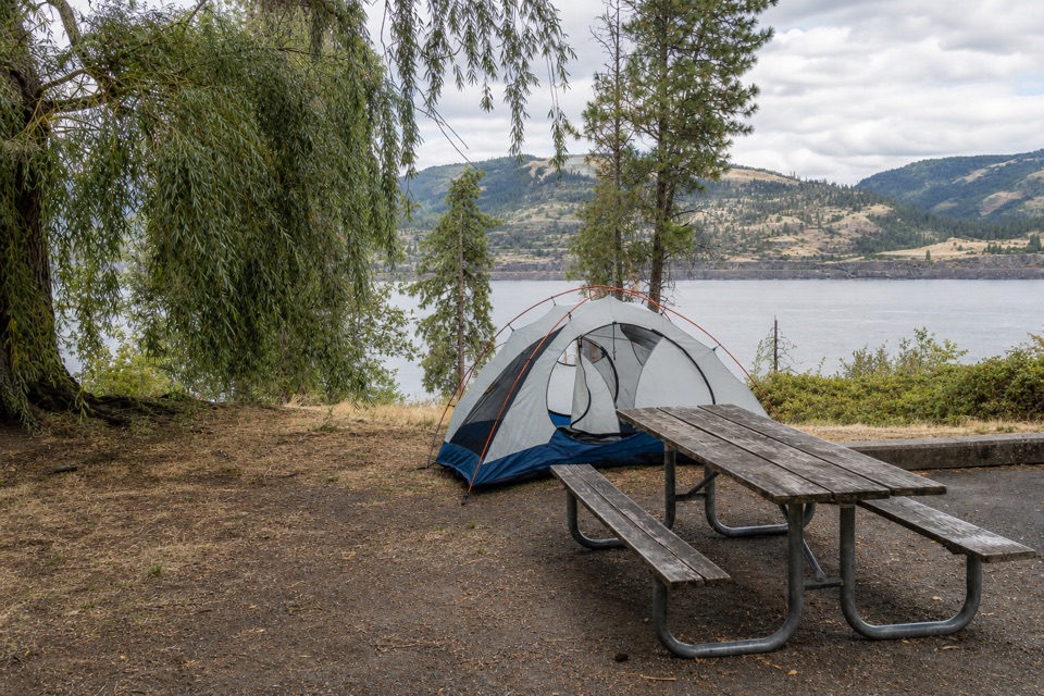 Campground · 2.4 mi awayMemaloose State Park CampgroundCamp beside the Columbia, with Memaloose Island in view.
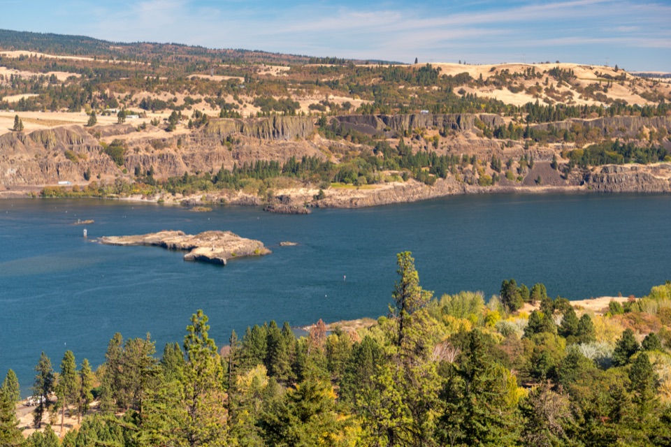 Sight · 2.5 mi awayMemaloose OverlookA quick river view across to Memaloose Island.
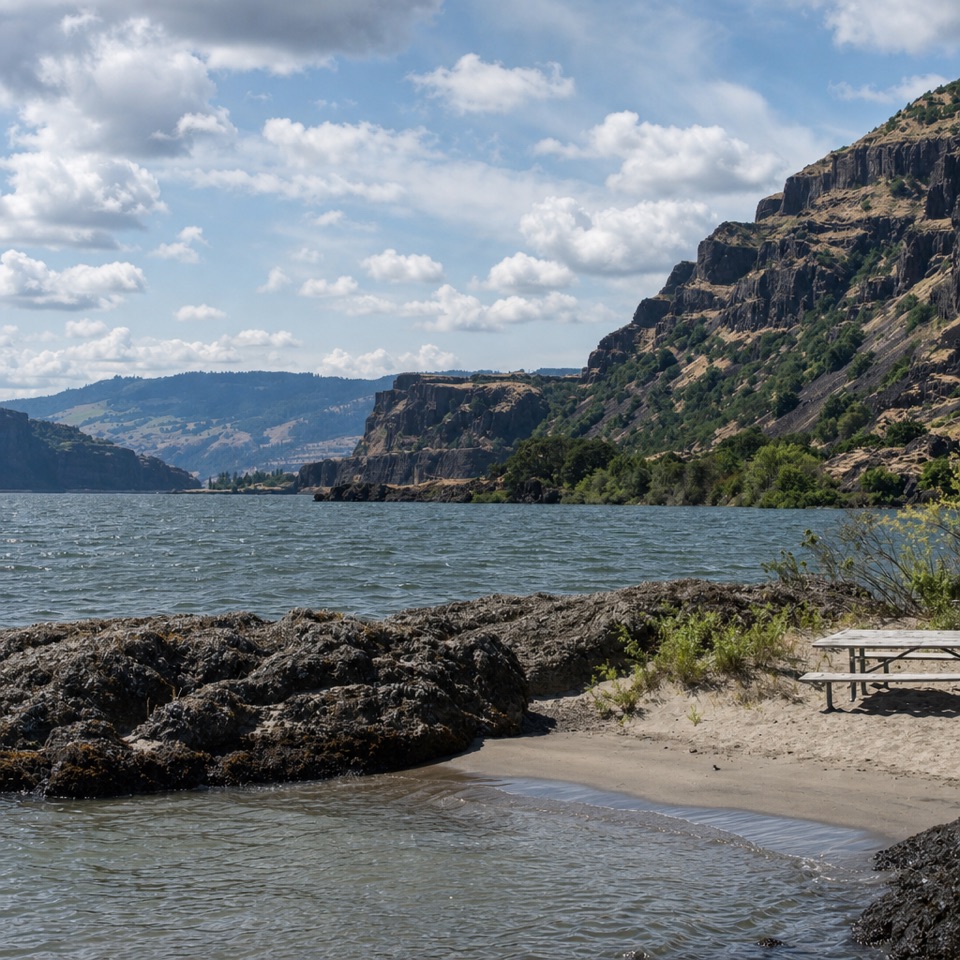 Beach · 3.2 mi awayDoug’s Beach State ParkWatch Gorge windsurfing from a sandy shore, with basalt cliffs behind.
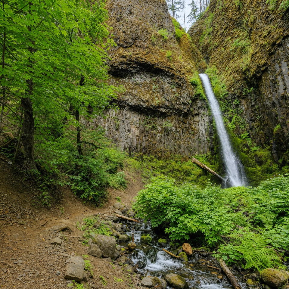 Sight · 4.3 mi awayMosier Creek FallsA quick waterfall stop, with a historic bridge on the way in.
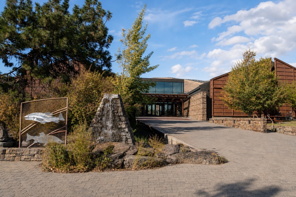 Sight · 4.8 mi awayColumbia Gorge Discovery Center & MuseumIce Age fossils, Gorge history, and raptors on a riverside campus.
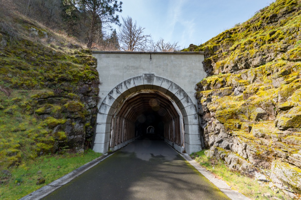 Sight · 5.8 mi awayMosier Twin TunnelsHistoric highway tunnels with windows that frame the Gorge.
Parkwolf’s Columbia River Gorge ranking
The audio tour guide for the drive, plus offline maps, trails, and wildlife heatmaps for when the signal drops.





