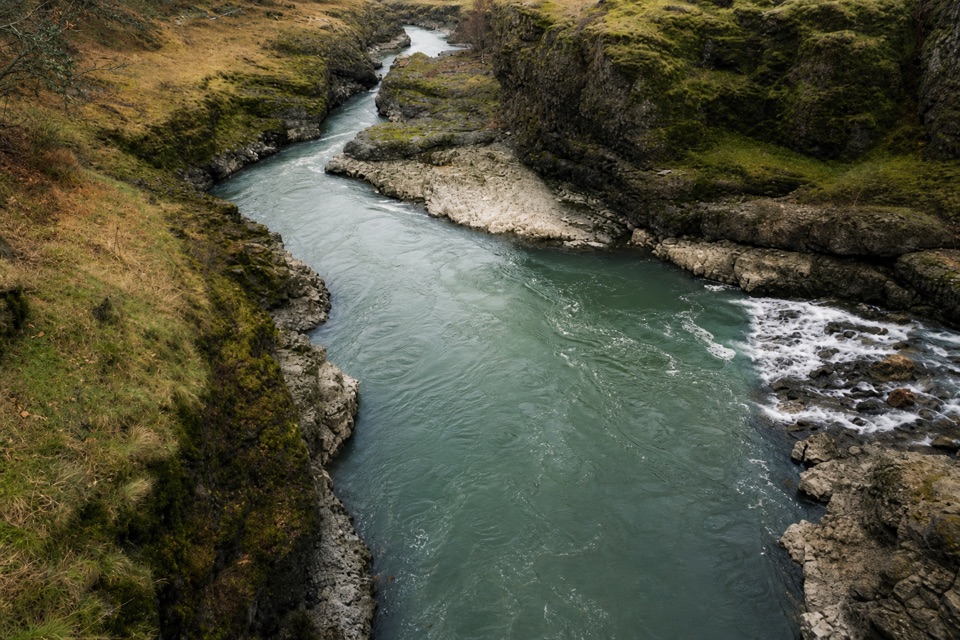
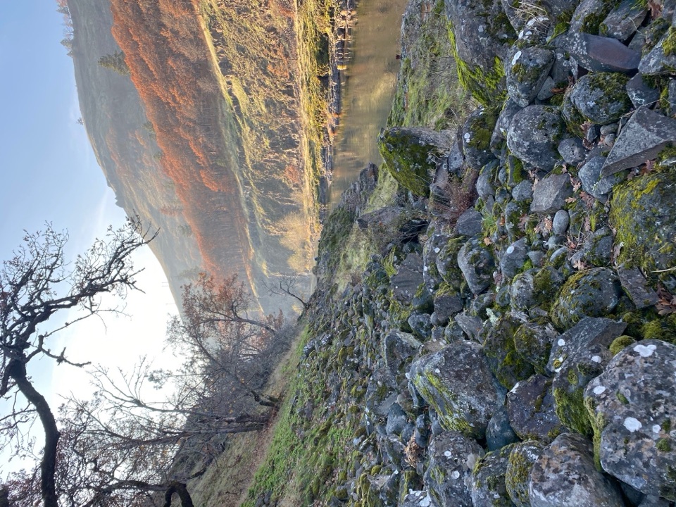
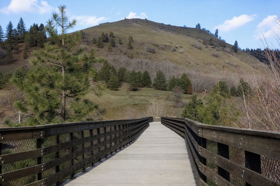
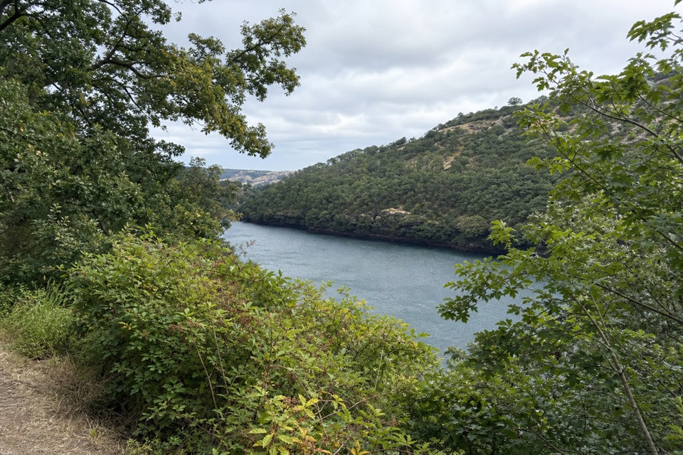
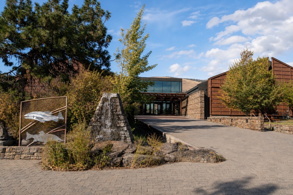
From Fisher Hill Bridge, the trail immediately crosses the old Fisher Hill Trestle. About half a mile in, it passes Lyle Falls Fishway, where Yakama Nation Fisheries operates a fish-counting facility and returns most sampled fish to the river. The river stays close for much of the walk, with rushing water and whitewater in places and State Route 142 on the opposite bank. The trail is mostly gentle, but the old rail bed mixes packed dirt, rock and plants with rough stretches of loose ballast. Near Pitt it bends closer to the river again, and homes appear on both banks; stay on the trail where private property borders the corridor.
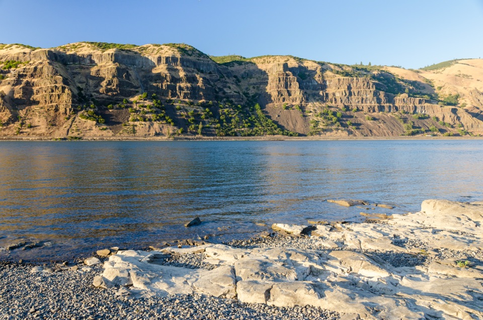
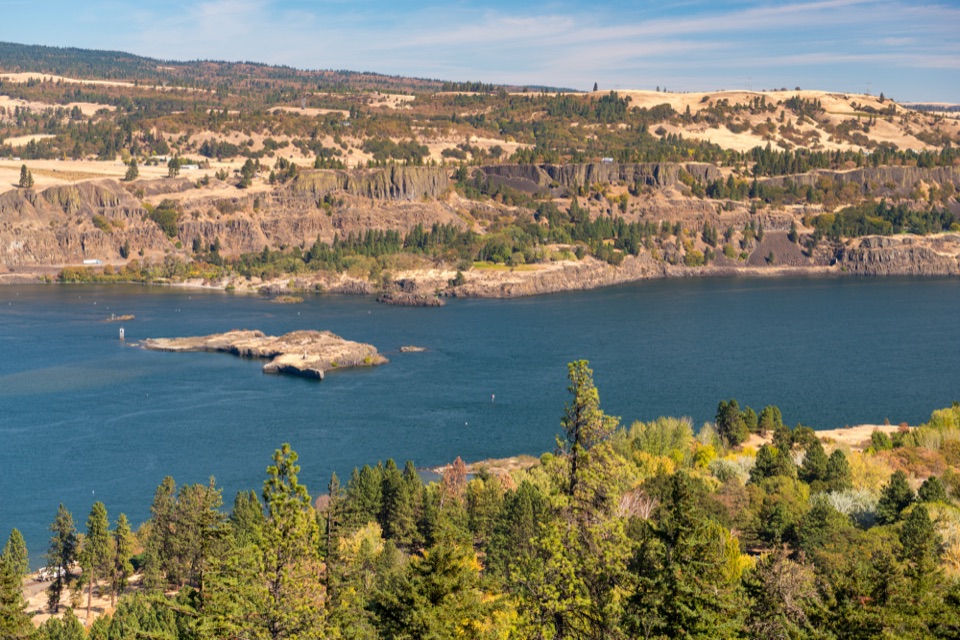
For a photo, look for the river moving over pale rock shelves and keep the bend and both banks in frame; that shows the narrow channel as well as the whitewater. The fishway is a short, practical turnaround if you want only a taste of the route: it is about half a mile from Fisher Hill Bridge.