Klickitat Trail — Fisher Hill to Klickitat in Columbia River Gorge National Scenic Area

Columbia River Gorge National Scenic Area, OR · WA

Klickitat Trail — Fisher Hill to Klickitat

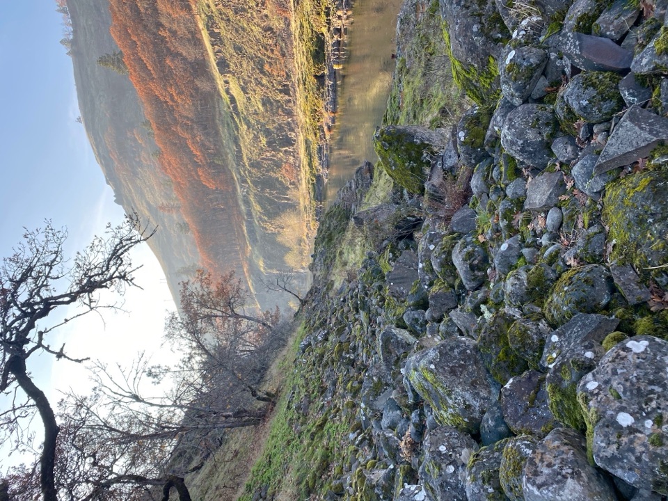
A quiet riverside rail bed, with a fishway and a long walk.

Photo: Public Domain
Length
11.4mi
Time
5hr
Elev. change
358ft
Difficulty
Moderate
  • Dogs allowed
  • High point 509 ft

Hear the audio tour

A Lift for Migrating Fish

Overview

About Klickitat Trail — Fisher Hill to Klickitat

Why go

  • A gentle railroad grade follows the Klickitat River
  • Fishway, river bends, and the old rail corridor give the walk variety

Heads up

  • Loose gravel and ballast wear on feet over 11 miles
  • Point-to-point logistics; retracing makes it 22.8 miles

Map & elevation

The route

Loading the Columbia River Gorge map
Full map
Elevation151–509 ft
TrailheadFisher Hill Trailhead45.71081, -121.26642
Keep this map with you offline in the Parkwolf app

Plan your hike

Before you go

Parking

From SR 14, drive east 10.8 miles and turn north onto Highway 142 just beyond the Klickitat River. After 1.6 miles, veer left into the Fisher Hill parking area on the west side of the highway, by the Scenic Area sign. The trail begins beside the lot. For a one-way walk, arrange a pickup at the Klickitat town trailhead by the kiosk and old caboose. The Fisher Hill start has no restroom; a restroom is at Pitt about 8.5 miles in and another is at the town end. Parking capacity at Fisher Hill is not documented.


Safety

This is a long route with rough, sometimes loose rail gravel and no potable water along this section. Stay on the trail where private land borders it, leash dogs, and leave space for Yakama fishers at the fishway. A short stretch uses State Route 142 near Klickitat; watch for traffic.

8 active Columbia River Gorge alerts

  • ClosureEagle Creek Fire area closureDo not enter Oneonta Gorge or the specified trail sections because hazards remain following the Eagle Creek Fire.Official details
  • CautionAircraft and drone restrictions at developed recreation sitesAircraft and drone landings, drop-offs, and pickups are prohibited at six high-use developed recreation sites to protect visitor safety.Official details
See all 8 alerts
A park ranger sits on a dash-mounted phone, talking, as Parkwolf’s Tour Guide plays “Army Cutworm Moths: A Grizzly Bear Buffet” on Grand Loop Road below Dunraven Pass in Yellowstone
Parkwolf Tour GuideThe highest, rockiest slopes around here are a summer buffet for grizzly bears.

Columbia River Gorge Tour Guide

Your drive to Klickitat Trail — Fisher Hill to Klickitat, narrated.

Parkwolf is a GPS audio tour guide for Columbia River Gorge National Scenic Area. As you drive, it chimes in with what’s ahead: hidden gems, upcoming stops, history, geology, and wildlife, right through your car’s speakers.

Recorded for this area

A Lift for Migrating Fish
0:00 / 0:29
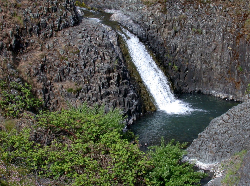
“At Lyle Falls on the Klickitat River, migrating fish face a steep natural barrier.”

Plays near this trailhead in the Parkwolf Columbia River Gorge Tour Guide.

More stories near here in the app

  • Klickitat Trail at Lyle
  • Balfour-Klickitat Birding Loop
  • The Railroad Beneath the Trail
  • Lyle Cherry Orchard Trail
  • 217 audio storiesacross Columbia River Gorge’s roads, triggered by GPS as you drive
  • Wildlife heatmapsfor Bald Eagle, Black Bear, American Pika, and 13 more
  • Works offlinemaps, 111 trails, 78 places, and audio download before you lose signal
  • CarPlay readysimple controls built for the drive
★★★★★
“Fantastic app with many points of information… It’s great to just turn on while you’re driving and it gives you an audio tour of the national Park. We love it!!!!”
JMJamesApp Store review
Download Parkwolf on the App StoreGet Parkwolf on Google Play

4.7 from 8,600+ ratings

Trail guide

Hiking Klickitat Trail — Fisher Hill to Klickitat

The long river walkFrom Fisher Hill to Klickitat, this is an 11.

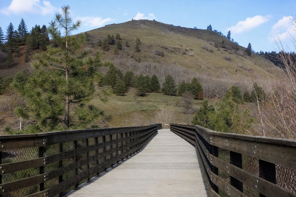
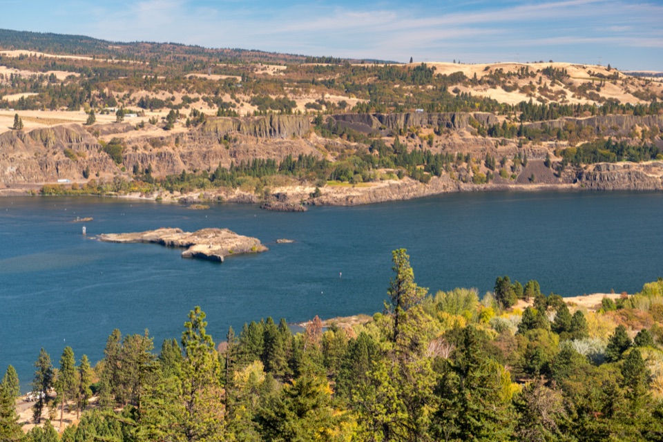
From Fisher Hill to Klickitat, this is an 11.4-mile, one-way walk on the old Klickitat rail grade, with the river beside the trail for much of the way. The route crosses the river on the Fisher Hill pedestrian bridge, then follows it upstream to the town of Klickitat. The grade is gentle, gaining about 315 feet, but loose gravel and the distance make this a substantial half-day. Plan a pickup in town; walking back makes it 22.8 miles.

Along the riverThe first notable stop comes about half a mile in at the Lyle Falls fishway and Yakama Nation…

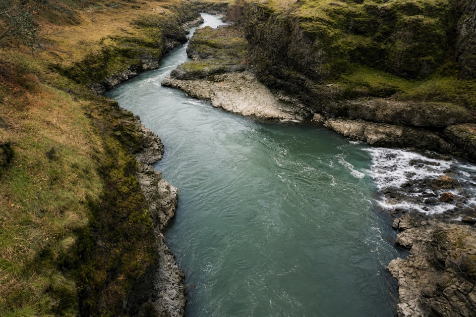
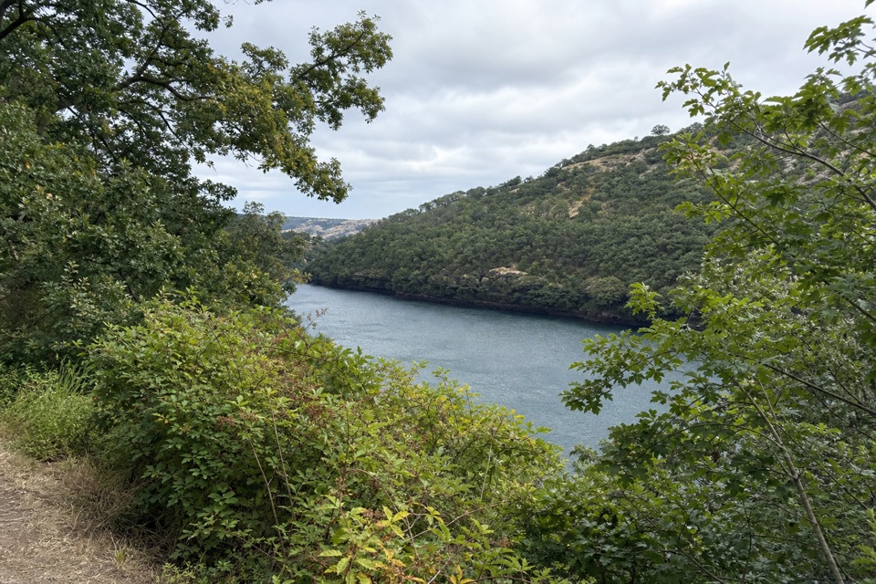
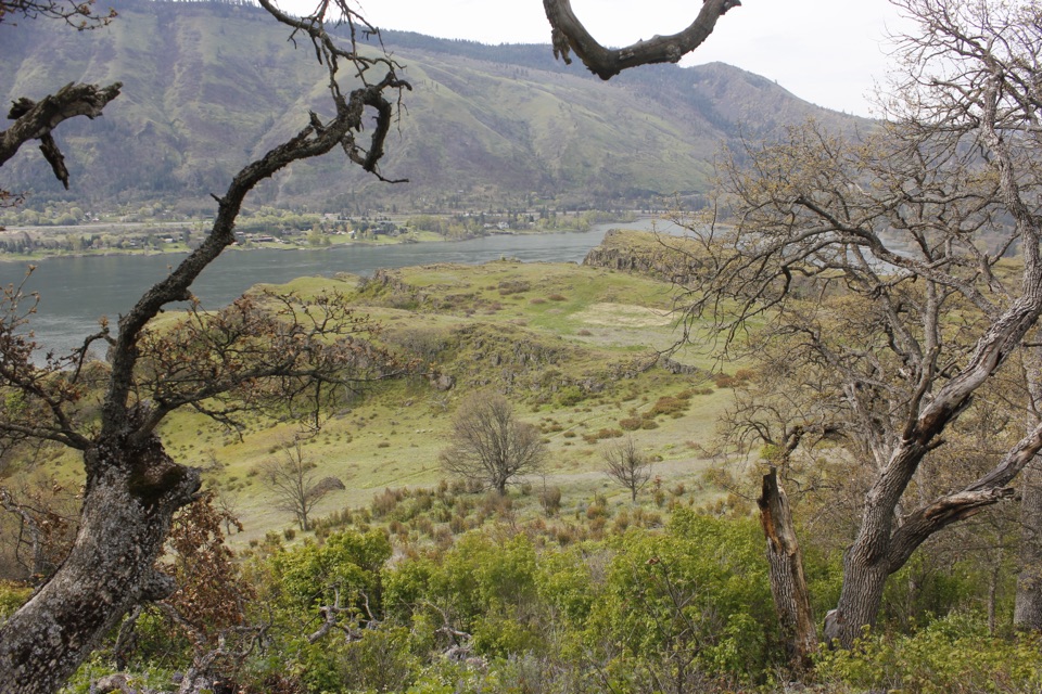
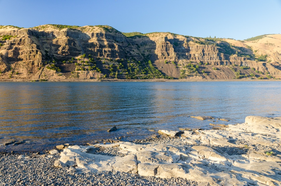
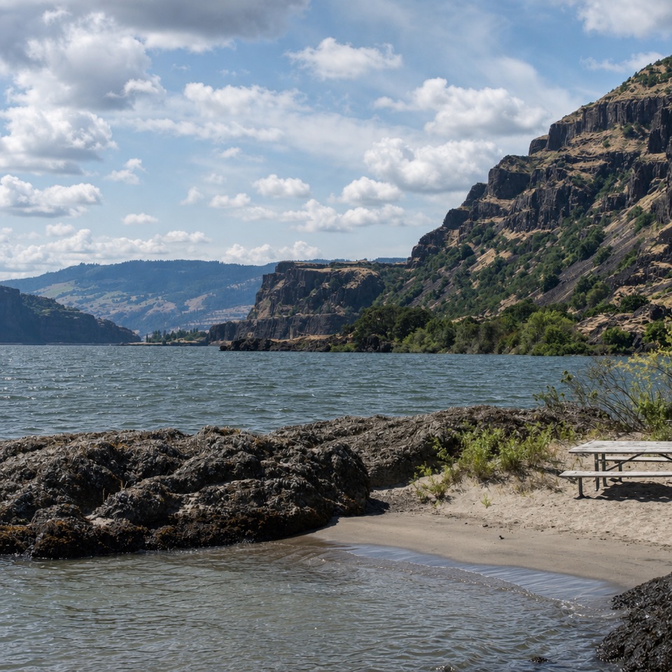
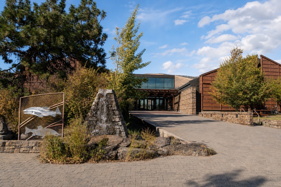
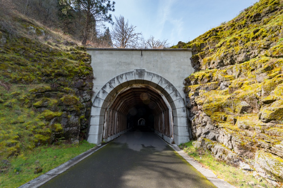
The first notable stop comes about half a mile in at the Lyle Falls fishway and Yakama Nation Fisheries fish-counting facility. Platforms over the whitewater are part of an active Yakama dip-net fishery; stay on the trail and give fishers space. After that, the walk is a succession of river bends, rocky water, oaks and pines, and open places where the Klickitat comes back into view. The old railroad bed is the route’s character: this is a gradual riverside walk, not a climb toward one overlook. The railway once linked Lyle and Goldendale.

What the distance feels like“Basically flat” describes the grade, not the footing.

“Basically flat” describes the grade, not the footing. The old rail corridor changes from firm gravel to rougher, loose stones and dirt; tough soles help over a long day. Allow about five hours one way, plus time at the fishway. Pitt access has a restroom around mile 8.5, and Klickitat has another at the town end; there is none at Fisher Hill. Potable water is not available along this section. Dogs must be leashed, and cyclists and horses also use the route.

Start and finishFrom SR 14, drive east 10.8 miles and turn north on Highway 142 just beyond the Klickitat River.

From SR 14, drive east 10.8 miles and turn north on Highway 142 just beyond the Klickitat River. After 1.6 miles, veer left into the Fisher Hill parking area on the west side, by the Scenic Area sign. The trail starts beside the lot and immediately crosses the pedestrian bridge. For pickup, use the Klickitat Trailhead kiosk near the old caboose in town. The mapped route briefly uses State Route 142 near the town end, so watch for traffic. No pass or permit is required for this section. For a shorter outing, start at Lyle for the separate 3.2-mile out-and-back to Fisher Hill.

Wildlife

Wildlife in Columbia River Gorge

All Columbia River Gorge wildlife maps

Sighting maps show where each species has been reported across Columbia River Gorge. Wildlife moves, so no sighting is guaranteed.

Keep exploring

Near Klickitat Trail — Fisher Hill to Klickitat

See it all on the map

Trails that start nearby

Places near the trailhead

Parkwolf’s Columbia River Gorge ranking

Top-rated trails in Columbia River Gorge

All 111 trails
  1. 1Eagle Creek Trail #440 to Tunnel FallsChallenging · 11.7 mi
  2. 2Multnomah Falls Trail to the TopModerate · 2.4 mi
  3. 3Multnomah–Wahkeena Falls LoopChallenging · 4.8 mi
  4. 4Dog Mountain LoopChallenging · 6.9 mi
  5. 5Angel's Rest TrailModerate · 4.8 mi
  6. 6Cape Horn Loop TrailChallenging · 6.5 mi

Take Parkwolf to Columbia River Gorge.

The audio tour guide for the drive, plus offline maps, trails, and wildlife heatmaps for when the signal drops.

4.7 from 8,600+ ratings

Download Parkwolf on the App StoreGet Parkwolf on Google Play