Parking
Use the BZ Launch Site parking area on WA-141 near milepost 12.5. Follow the boat-access road downhill; BZ Trail branches left at the base of the cliffs.
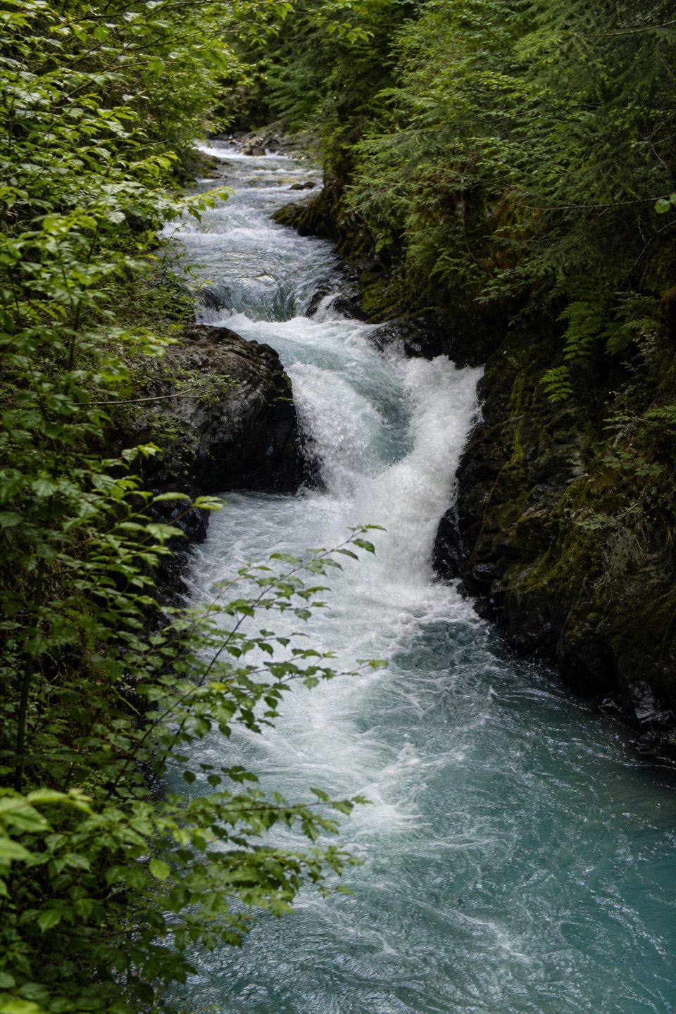
Columbia River Gorge National Scenic Area, OR · WA
A half-mile riverside walk reaches a small-canyon waterfall.
Overview
Map & elevation
Plan your hike

The highest, rockiest slopes around here are a summer buffet for grizzly bears.
Columbia River Gorge Tour Guide
Parkwolf is a GPS audio tour guide for Columbia River Gorge National Scenic Area. As you drive, it chimes in with what’s ahead: hidden gems, upcoming stops, history, geology, and wildlife, right through your car’s speakers.
“Fantastic app with many points of information… It’s great to just turn on while you’re driving and it gives you an audio tour of the national Park. We love it!!!!”


Trail guide
BZ Trail is an easy, 0.5-mile out-and-back from the BZ Launch Site to a small canyon viewpoint over a waterfall on the White Salmon River. The half-mile covers the trail itself, from the base of the cliffs and back; add a short approach down from the parking area. Allow about 30 minutes for the walk and a stop at the falls. Kayakers and rafters use the launch site, and the riverside route gives you a close place to watch boats run BZ Falls.
From the launch area, follow the boat-access road downhill. At the base of the cliffs, turn left onto BZ Trail and stay beside the river for about a quarter-mile to the viewpoint. The path ends looking over the falls in a small canyon; it is a direct out-and-back, not a loop. Turn around at the viewpoint for the named trail; continuing past the falls adds distance beyond the 0.5-mile round trip.
Use the BZ Launch Site parking area on WA-141 near milepost 12.5. Walk down the boat-access road to the river; the trail branches left at the base of the cliffs. A vault toilet is available year-round. Accessible flush restrooms, changing facilities and sinks are seasonal, roughly May through September. There is no potable water at the site.
Wildlife
 267 sightingsBald EagleMost seen around 7 AMSighting map
 51 sightingsBlack BearMost seen around 7 PMSighting map
 136 sightingsAmerican PikaMost seen around 8 AMSighting map
 16 sightingsWapitiMost seen around 7 AMSighting map
 195 sightingsMule DeerMost seen around 7 AMSighting map
 74 sightingsChinook SalmonMost seen around 6 PMSighting map
Sighting maps show where each species has been reported across Columbia River Gorge. Wildlife moves, so no sighting is guaranteed.
Keep exploring
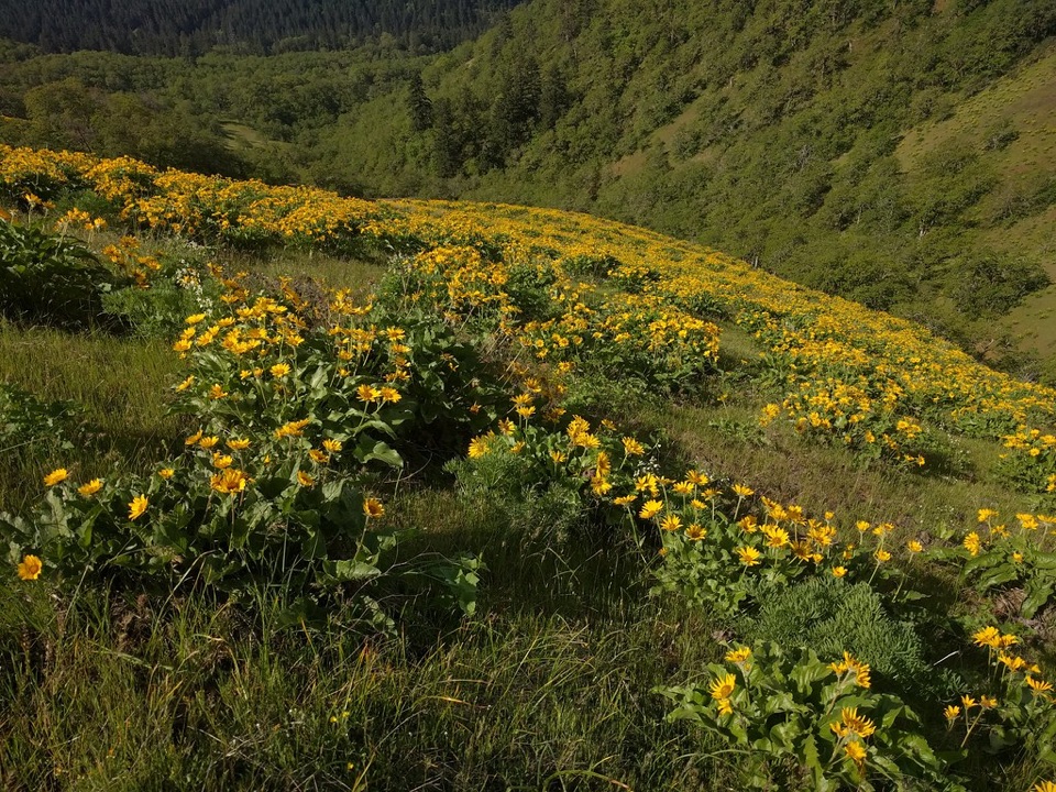 ModerateWeldon Wagon Trail4.6 mi · 3 hr · 3.9 mi awayA 1911 wagon road climbs to oak meadows and Mount Hood views.
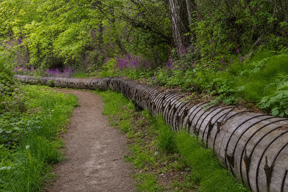 EasyIndian Creek Trail (Hazel Avenue section)3.2 mi · 1.5 hr · 10.1 mi awayA leafy creek walk past a historic water flume.
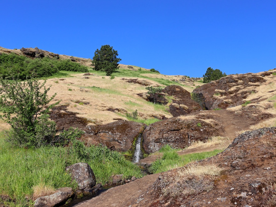 ModerateLittle Maui Trail #44251.1 mi · 45 min · 11.5 mi awayOpen oak meadows give way to streamside cascades.
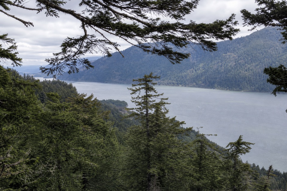 ModerateWygant Peak Trail9 mi · 5.5 hr · 11.6 mi awayThe summit hides its best view in the meadow below.
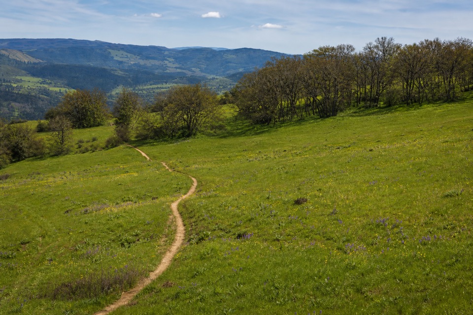 ModerateOld Ranch Road Trail6.4 mi · 4.3 hr · 11.7 mi awayA long, rocky climb from old pavement to Gorge views.
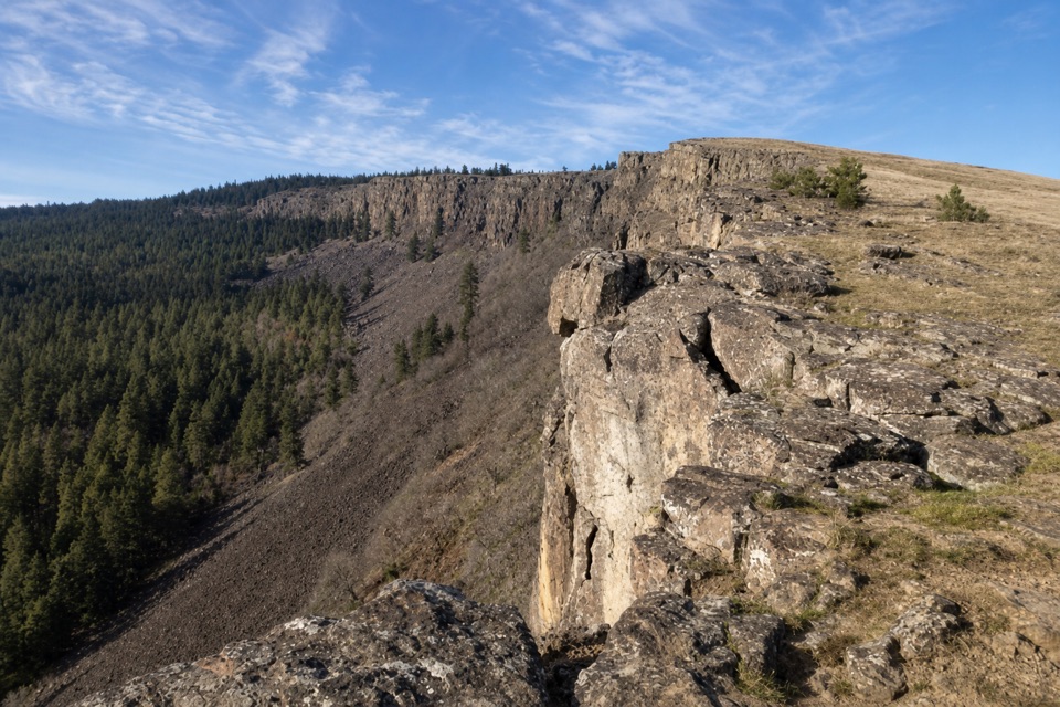 ModerateLittle Moab Trail3.4 mi · 2.5 hr · 11.7 mi awayA rocky basalt rim walk above steep wooded slopes.
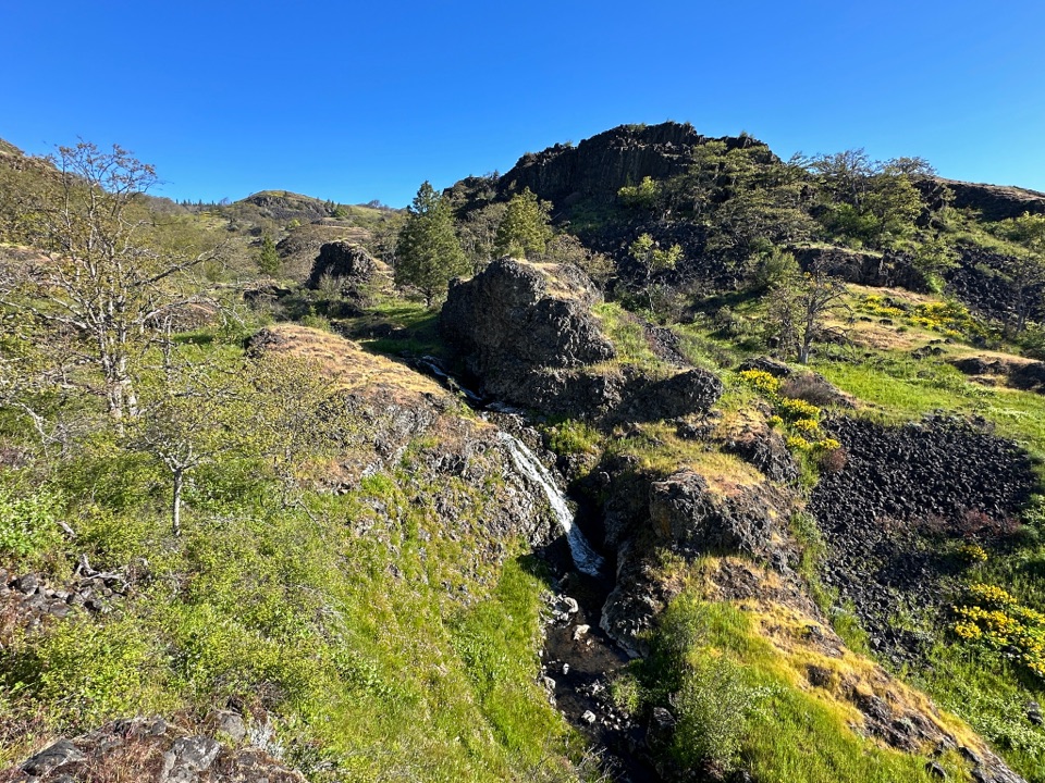 ModerateCatherine Creek Labyrinth3.6 mi · 3 hr · 11.8 mi awayA basalt maze, a creekside waterfall, and a viewpoint worth the climb.
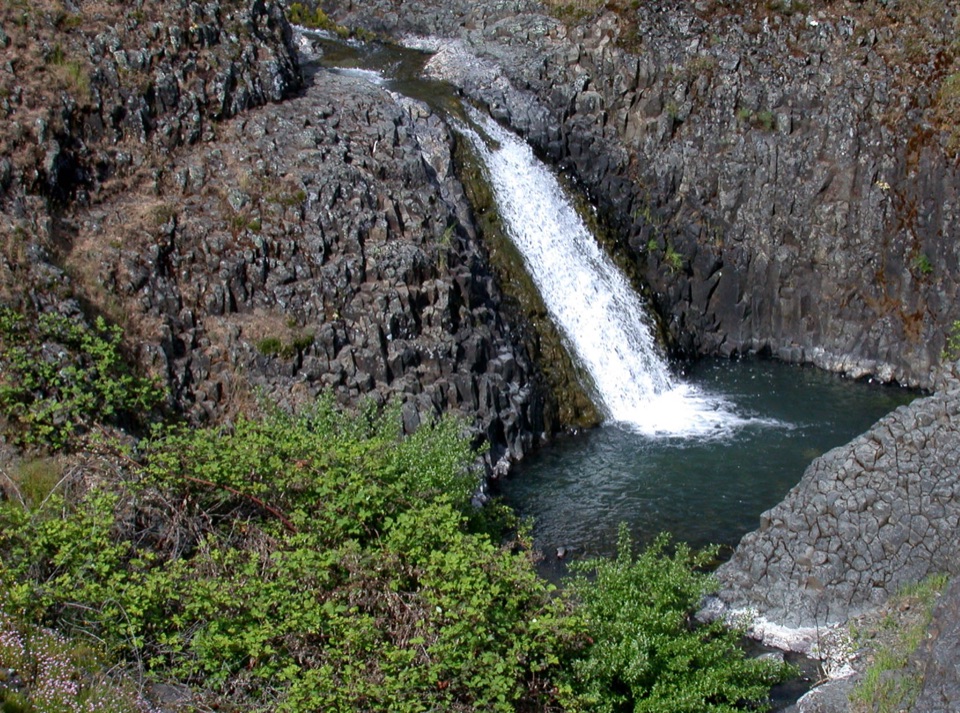 EasyCatherine Creek Interpretive Trail1 mi · 54 min · 12.1 mi awayA paved mile through wildflower slopes to the Catherine Creek Falls view.
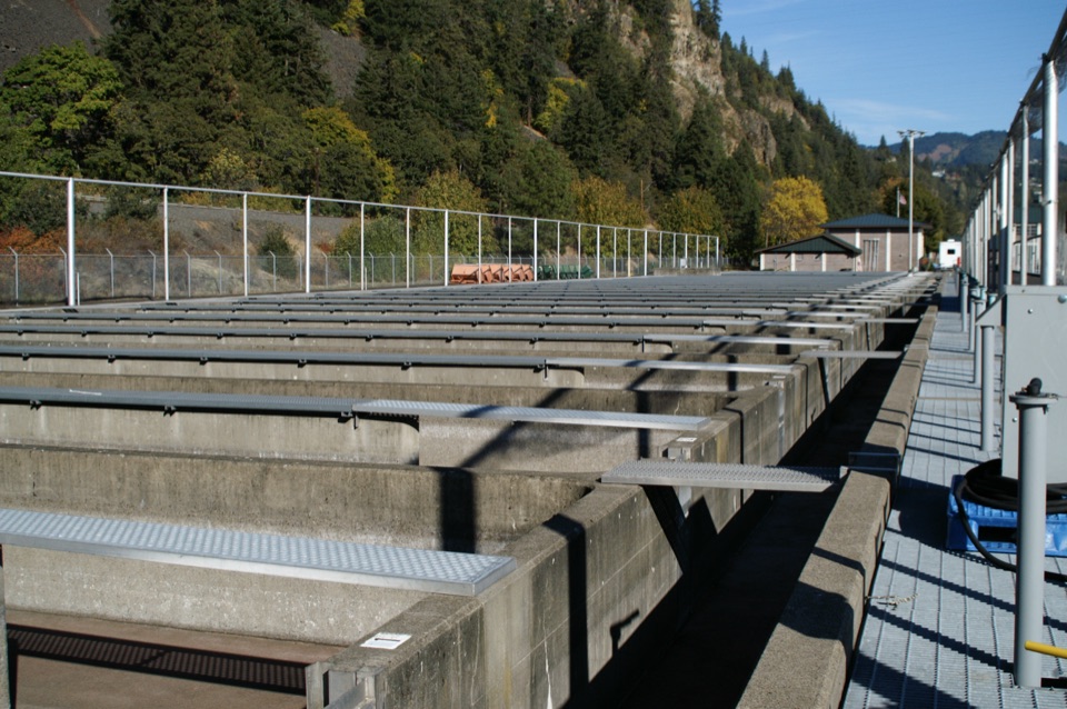 Sight · 8.7 mi awaySpring Creek National Fish HatcheryWatch fall Chinook climb the ladder at a working river hatchery.
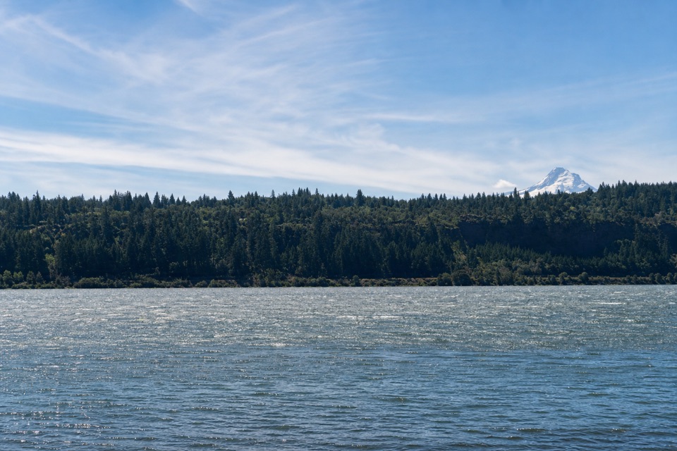 Beach · 9.2 mi awaySpring Creek Hatchery State ParkStrong Gorge winds make this Columbia shore a windsurfing draw.
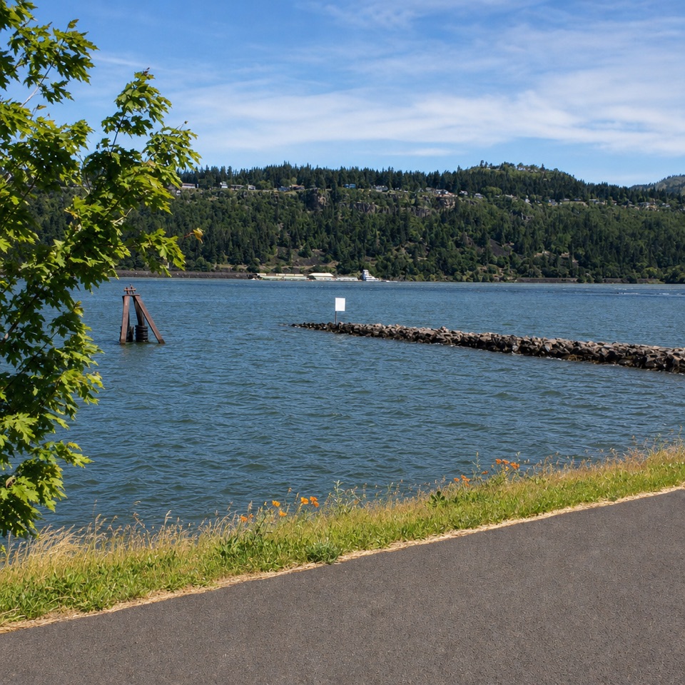 Sight · 9.4 mi awayHood River Event SiteWatch windsurfing and kiteboarding right on the river.
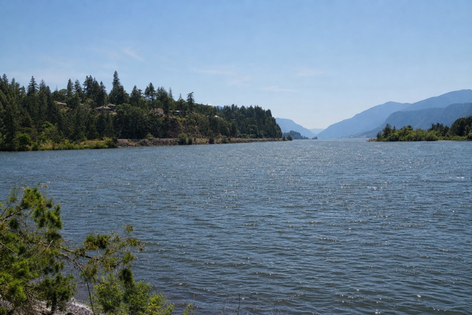 Sight · 9.4 mi awayThe HookA sheltered beginner launch with a big river view.
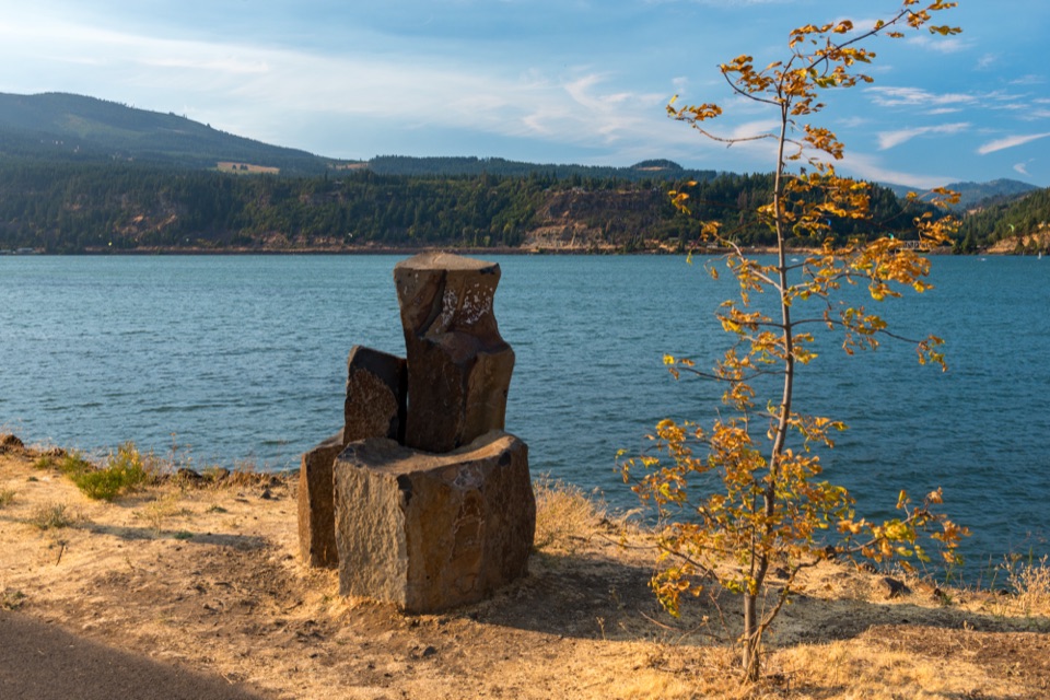 Beach · 9.4 mi awayHood River Waterfront ParkA sandy swimming cove for a low-key Columbia River break.
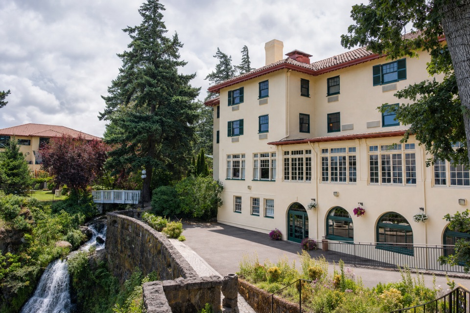 Lodging · 9.9 mi awayColumbia Gorge Hotel & SpaA 1920s hotel with a waterfall spilling through its gardens.
Parkwolf’s Columbia River Gorge ranking

The audio tour guide for the drive, plus offline maps, trails, and wildlife heatmaps for when the signal drops.





