Parking
Unmarked pullout on Indian Cemetery Road, opposite the gated gravel road. Follow the gravel access about 0.2 mile to the trail sign; there is no restroom.
Columbia River Gorge National Scenic Area, OR · WA
A 1911 wagon road climbs to oak meadows and Mount Hood views.
Overview
Weldon Wagon Trail is a 4.6-mile out-and-back on a historic wagon road above Husum. Walk the main route 2.3 miles each way to Sanborn Road, then retrace it; allow about three hours for the climb and stops. A longer version continues to the upper Sanborn access at about 2.7 miles one way, or 5.4 miles round trip. The route starts in forest, then opens into sunny meadows with far-reaching views of the White Salmon Valley and Mount Hood.
 Parkwolf’s verdictThe open slopes are the payoff
Map & elevation
Plan your hike

The highest, rockiest slopes around here are a summer buffet for grizzly bears.
Columbia River Gorge Tour Guide
Parkwolf is a GPS audio tour guide for Columbia River Gorge National Scenic Area. As you drive, it chimes in with what’s ahead: hidden gems, upcoming stops, history, geology, and wildlife, right through your car’s speakers.
More stories near here in the app
“Fantastic app with many points of information… It’s great to just turn on while you’re driving and it gives you an audio tour of the national Park. We love it!!!!”


Trail guide
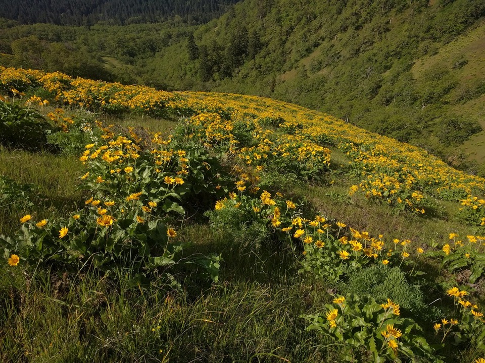
Pass the metal gate and walk roughly 0.2 mile up the gravel road to the trail sign. The tread climbs through fir, pine and Oregon white oak; around 0.7 mile, trees thin and the road narrows to a wide footpath across open slopes. Balsamroot and lupine brighten the meadows in April and May. The road was built in 1911 by Elwin Weldon and Henry Hyndman to move farm produce, especially apples, to market; before then, settlers hauled goods by sled. The oaks are protected in the White Salmon Oak Natural Resources Conservation Area. For a spring photo, frame the flowers with the valley below so the hillside has scale.
This is a moderate hike with a steady 1,300-foot climb. Poison oak grows right along the trail, and the open slopes feel exposed. Portions follow a county easement across private land before entering DNR-managed conservation land; stay on the marked route, including near homes and No Trespassing signs. Dogs are prohibited.
Use the unmarked pullout on Indian Cemetery Road, across from the gated gravel road. There is no permit or parking pass, but no restroom at the trailhead. White Salmon’s main street has a brewpub and other restaurants for a separate post-hike stop.
Wildlife
 267 sightingsBald EagleMost seen around 7 AMSighting map
 51 sightingsBlack BearMost seen around 7 PMSighting map
 136 sightingsAmerican PikaMost seen around 8 AMSighting map
 16 sightingsWapitiMost seen around 7 AMSighting map
 195 sightingsMule DeerMost seen around 7 AMSighting map
 74 sightingsChinook SalmonMost seen around 6 PMSighting map
Sighting maps show where each species has been reported across Columbia River Gorge. Wildlife moves, so no sighting is guaranteed.
Keep exploring
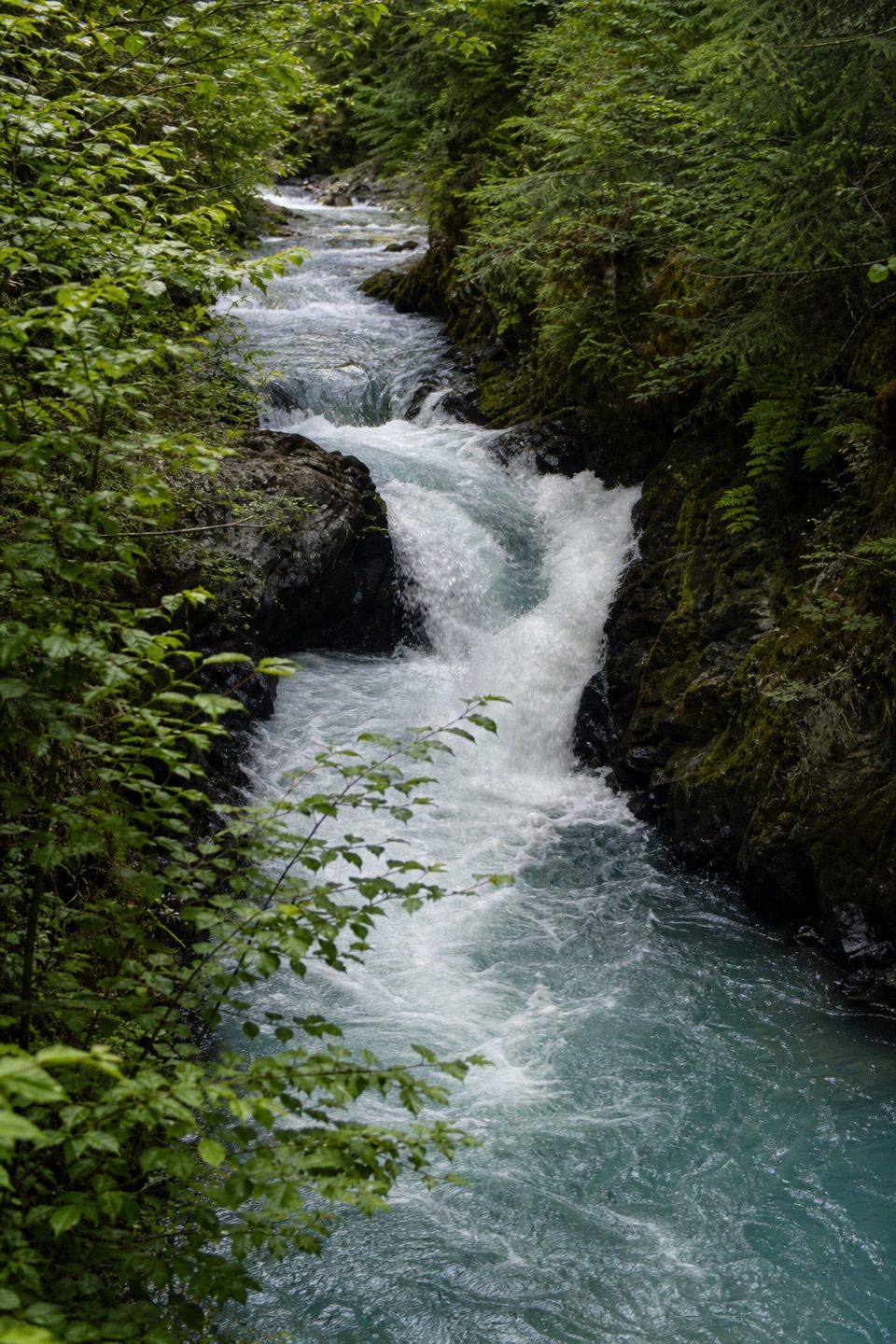 EasyBZ Trail0.5 mi · 30 min · 3.9 mi awayA half-mile riverside walk reaches a small-canyon waterfall.
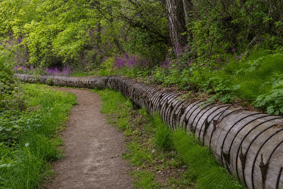 EasyIndian Creek Trail (Hazel Avenue section)3.2 mi · 1.5 hr · 7 mi awayA leafy creek walk past a historic water flume.
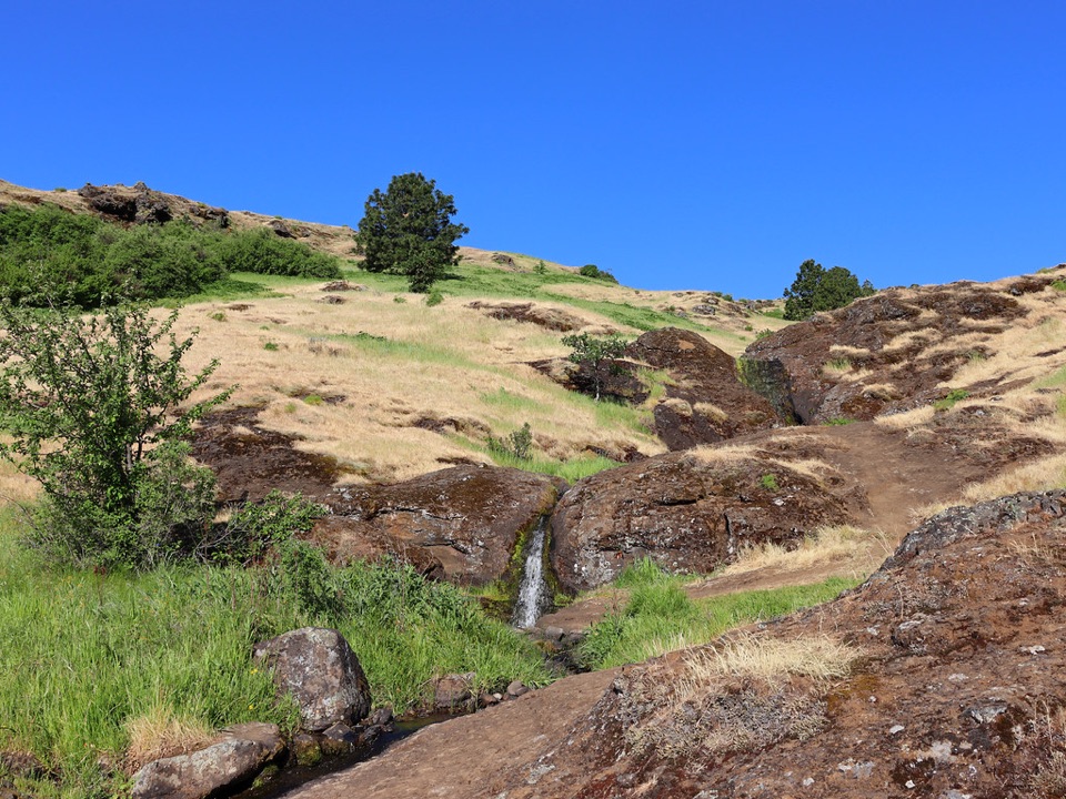 ModerateLittle Maui Trail #44251.1 mi · 45 min · 7.6 mi awayOpen oak meadows give way to streamside cascades.
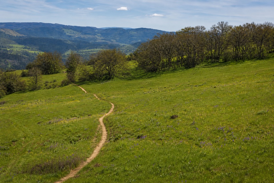 ModerateOld Ranch Road Trail6.4 mi · 4.3 hr · 7.8 mi awayA long, rocky climb from old pavement to Gorge views.
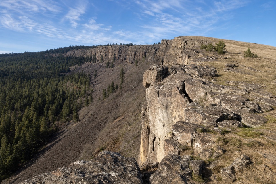 ModerateLittle Moab Trail3.4 mi · 2.5 hr · 7.8 mi awayA rocky basalt rim walk above steep wooded slopes.
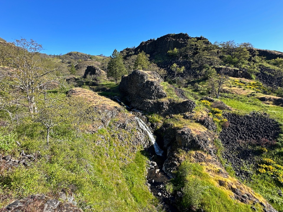 ModerateCatherine Creek Labyrinth3.6 mi · 3 hr · 7.9 mi awayA basalt maze, a creekside waterfall, and a viewpoint worth the climb.
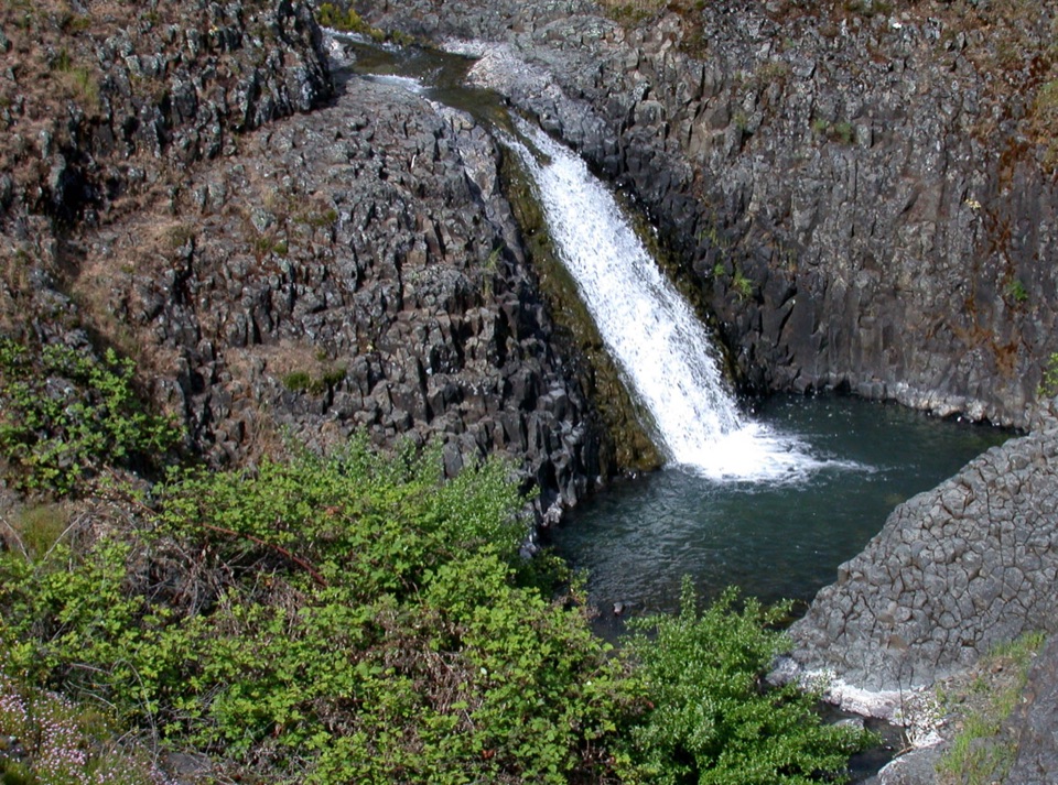 EasyCatherine Creek Interpretive Trail1 mi · 54 min · 8.2 mi awayA paved mile through wildflower slopes to the Catherine Creek Falls view.
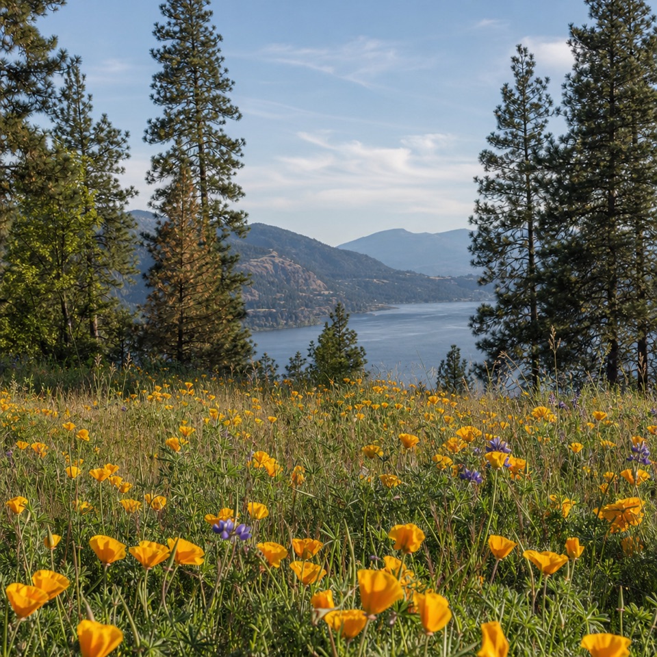 ModerateMosier Plateau Trail3.5 mi · 2.5 hr · 8.9 mi awayA creekside waterfall, spring flowers, then a steep climb to Gorge views.
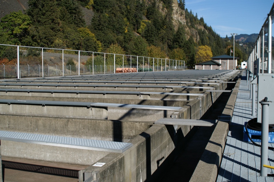 Sight · 6.4 mi awaySpring Creek National Fish HatcheryWatch fall Chinook climb the ladder at a working river hatchery.
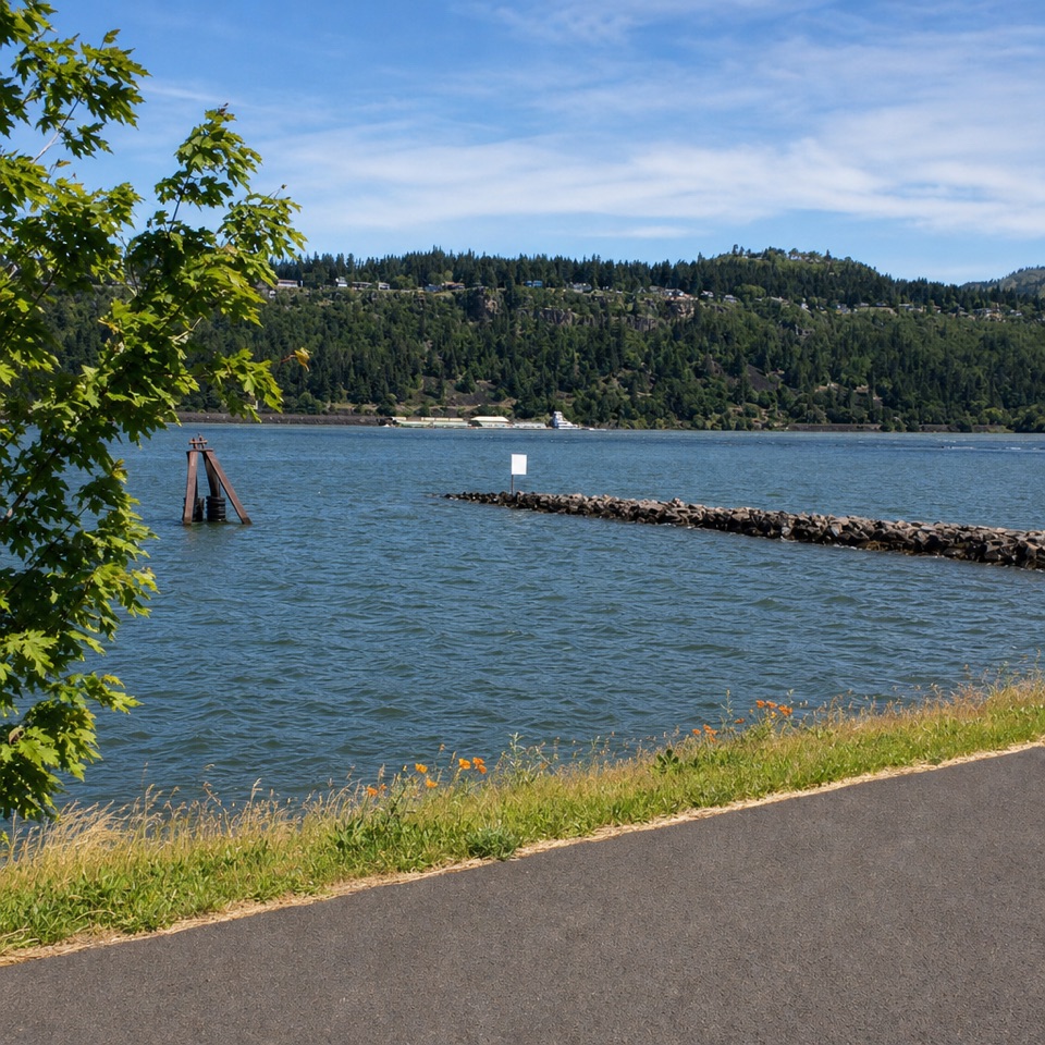 Sight · 6.4 mi awayHood River Event SiteWatch windsurfing and kiteboarding right on the river.
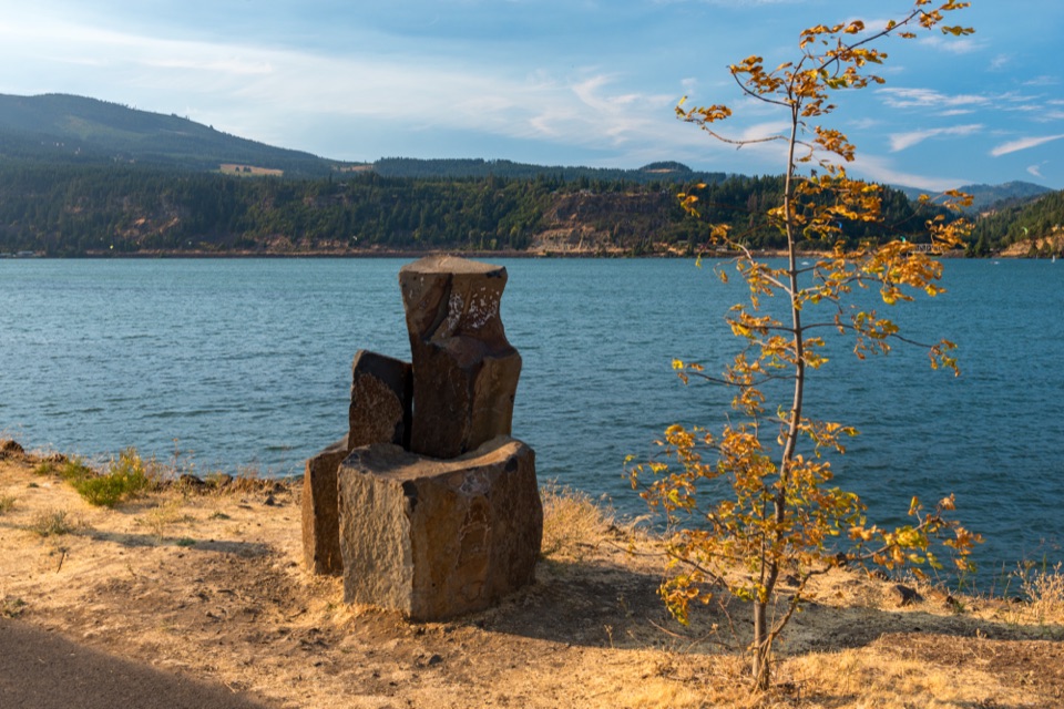 Beach · 6.5 mi awayHood River Waterfront ParkA sandy swimming cove for a low-key Columbia River break.
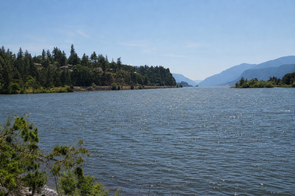 Sight · 6.6 mi awayThe HookA sheltered beginner launch with a big river view.
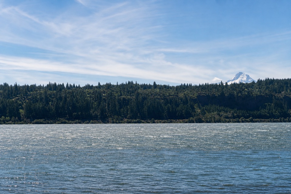 Beach · 7 mi awaySpring Creek Hatchery State ParkStrong Gorge winds make this Columbia shore a windsurfing draw.
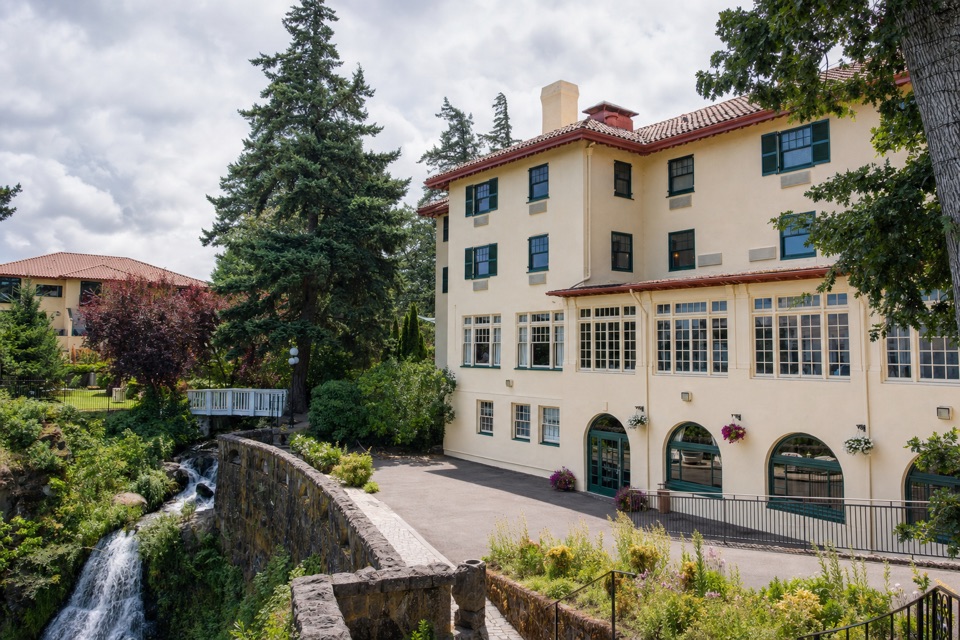 Lodging · 7.5 mi awayColumbia Gorge Hotel & SpaA 1920s hotel with a waterfall spilling through its gardens.
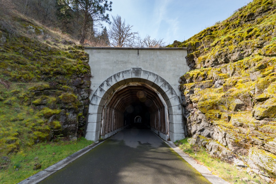 Sight · 8.5 mi awayMosier Twin TunnelsHistoric highway tunnels with windows that frame the Gorge.
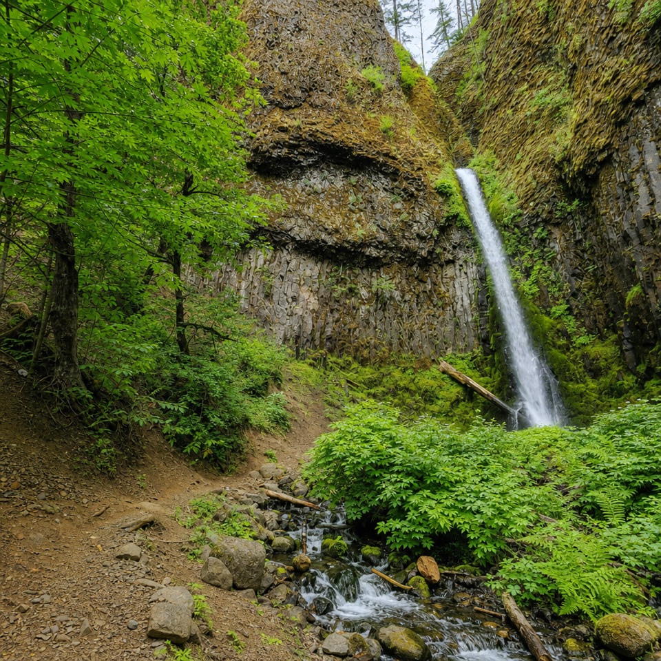 Sight · 9.2 mi awayMosier Creek FallsA quick waterfall stop, with a historic bridge on the way in.
Parkwolf’s Columbia River Gorge ranking
The audio tour guide for the drive, plus offline maps, trails, and wildlife heatmaps for when the signal drops.





