Parking
Start at Rainy Lake Campground & Trailhead, off Forest Road 2820 (Dead Point Road). From Lost Lake Road, it is about 11 miles to the campground; take #409 for this circuit.
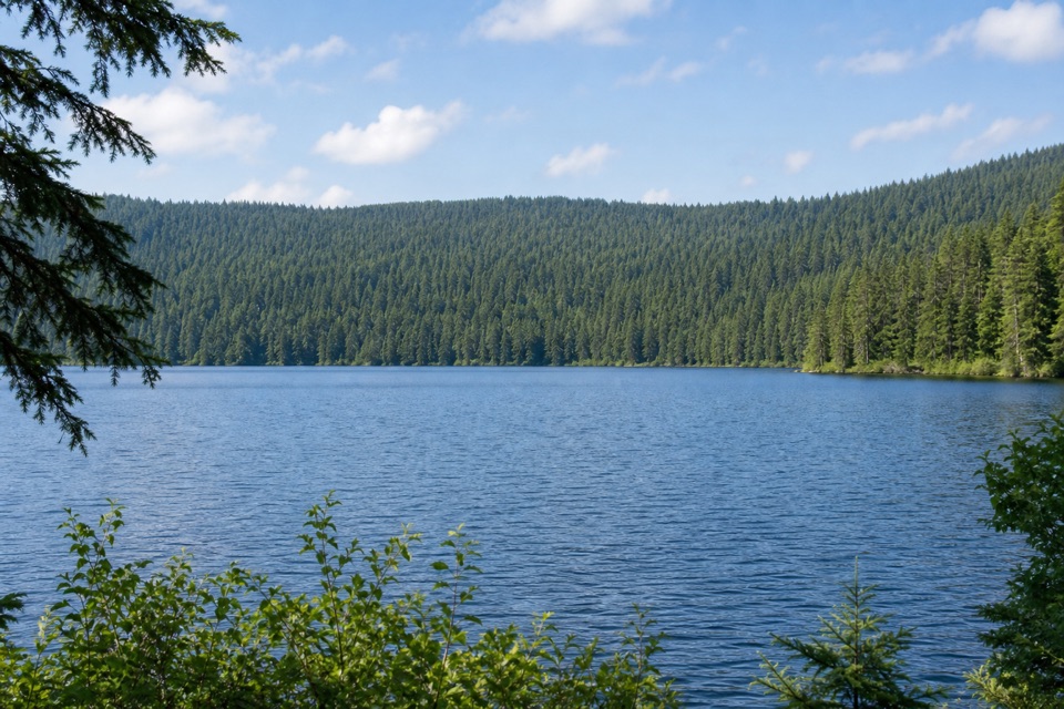
Columbia River Gorge National Scenic Area, OR · WA
Signal hut, summit views and a lakeshore dam in one loop.
Overview
Map & elevation
Plan your hike

The highest, rockiest slopes around here are a summer buffet for grizzly bears.
Columbia River Gorge Tour Guide
Parkwolf is a GPS audio tour guide for Columbia River Gorge National Scenic Area. As you drive, it chimes in with what’s ahead: hidden gems, upcoming stops, history, geology, and wildlife, right through your car’s speakers.
More stories near here in the app
“Fantastic app with many points of information… It’s great to just turn on while you’re driving and it gives you an audio tour of the national Park. We love it!!!!”


Trail guide
Rainy Lake Loop is a 3.1-mile circuit from Rainy Lake Campground: climb Rainy-Wahtum #409 to Gorton Creek #408 at Green Point Mountain, descend North Lake #423 and return beside Rainy Lake on #423A. It gains 755 feet and combines old-growth forest, ridge viewpoints and a high-country lake. For a compact climb, allow 2–3 hours.
#409 climbs through damp montane forest on an old road grade to talus and the Herman Creek Cutoff junction, where an old World War II signal hut stands. #408 climbs among huckleberries and lodgepole pines; openings near Green Point Mountain look toward Mount Defiance, Mount Adams and Goat Rocks. Look back for Mount Hood. Include lodgepole trunks in a photo of Mount Adams for scale. Continue to #423 and descend through rocky ground, brush and fir-hemlock forest. Talus openings look over the Hood River Valley.
A creek footbridge leads to Rainy Lake’s low earth dam, built as a log pond in the early 20th century. Cross the uneven outlet bridge to a small southeast-shore beach, then follow #423A through hemlock and cedar to camp. Wet tread, talus and the buckled outlet bridge need careful footing. The campground has an outhouse and picnic area; carry food and water because neither was confirmed there. Snow can linger into spring; summer through fall is the steadier season.
Wildlife
 267 sightingsBald EagleMost seen around 7 AMSighting map
 51 sightingsBlack BearMost seen around 7 PMSighting map
 136 sightingsAmerican PikaMost seen around 8 AMSighting map
 16 sightingsWapitiMost seen around 7 AMSighting map
 195 sightingsMule DeerMost seen around 7 AMSighting map
 74 sightingsChinook SalmonMost seen around 6 PMSighting map
Sighting maps show where each species has been reported across Columbia River Gorge. Wildlife moves, so no sighting is guaranteed.
Keep exploring
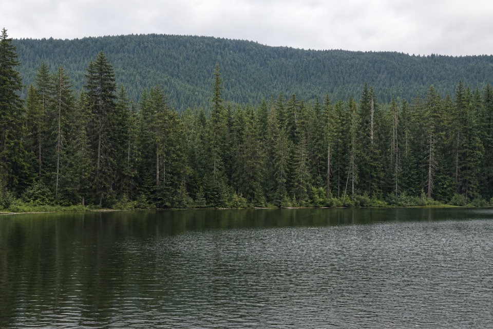 EasyBear Lake via Mount Defiance South Trail2.4 mi · 2 hr · 1.1 mi awayA quiet lake below Mount Defiance, reached by a short forest climb.
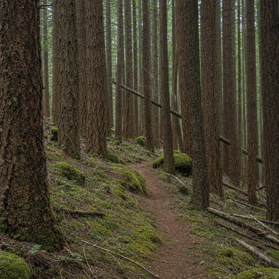 ChallengingDeadwood Trail #4220.5 mi · 1.3 hr · 3.7 mi awayA faint wilderness link between two longer routes.
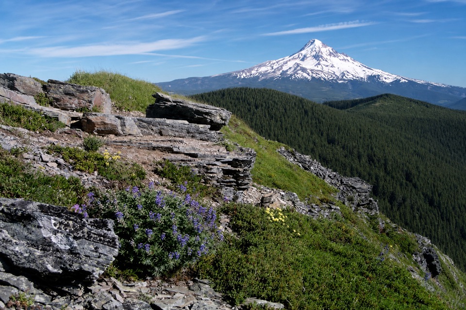 ModerateChinidere Mountain Loop4.4 mi · 3 hr · 3.8 mi awayA lake loop that climbs to a rocky Cascade lookout.
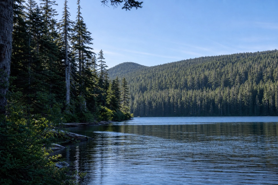 ChallengingIndian Mountain Loop11.5 mi · 8 hr · 3.8 mi awayA long wilderness loop through old forest, springs, and a rocky summit.
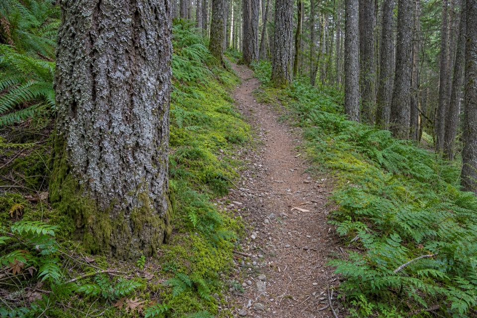 ChallengingWyeth Trail #4117.3 mi · 8 hr · 4.3 mi awayA steep 7.3-mile climb from old forest into Eagle Creek fire scar.
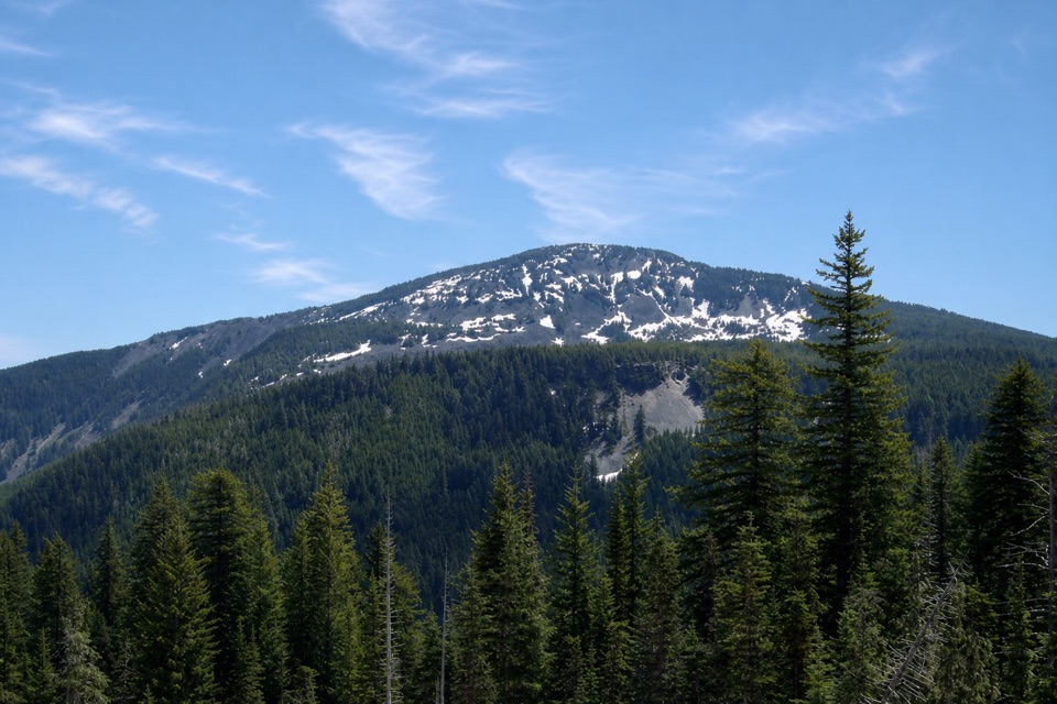 ChallengingGreen Point Ridge Loop15 mi · 11 hr · 4.3 mi awayA steep ridge loop with North Lake and wide Gorge views.
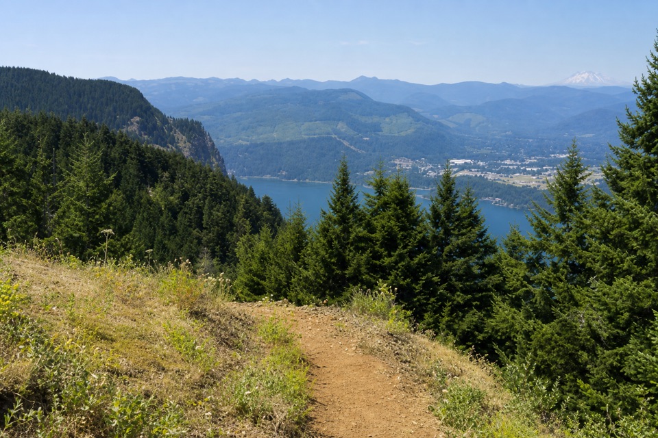 ChallengingNorth Lake via Wyeth Trail12.5 mi · 9 hr · 4.3 mi awayA steep climb through fire-opened slopes ends at a headwater lake.
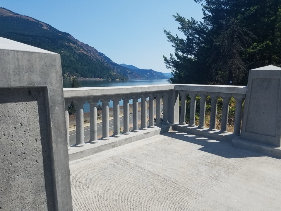 EasyHistoric Columbia River Highway State Trail: Wyeth to Viento5.8 mi · 2.8 hr · 4.4 mi awaySix paved miles past viaducts and waterfalls along the Gorge.
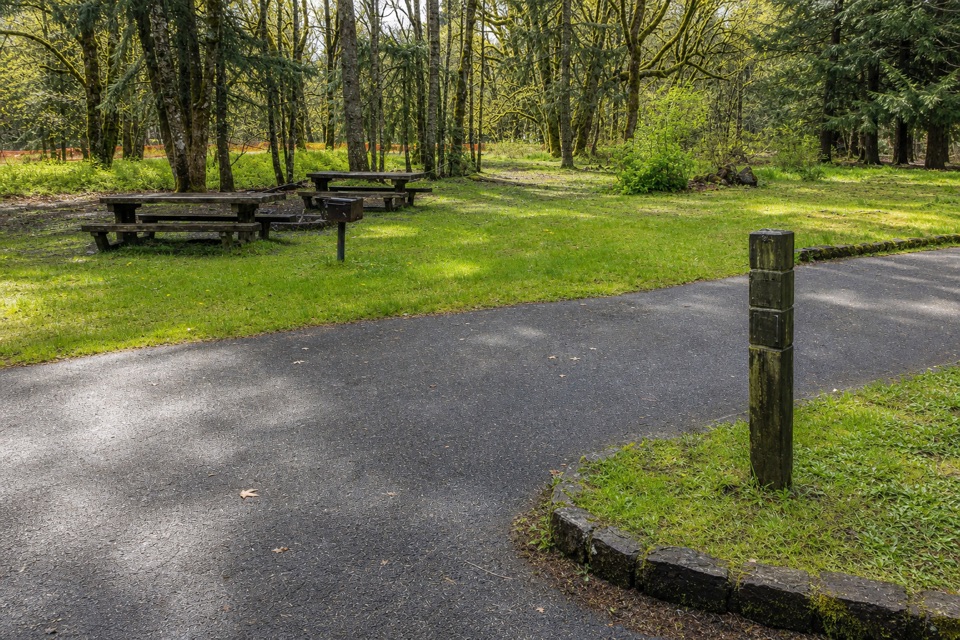 Campground · 4.4 mi awayWyeth CampgroundPaved bike trail rides start right beside this wooded campground.
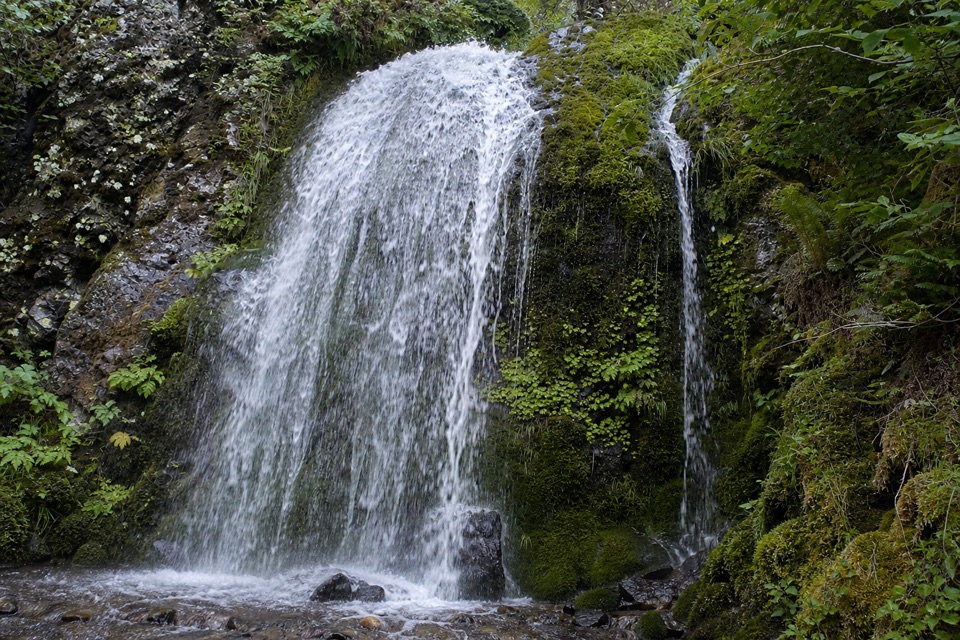 Sight · 4.8 mi awayLancaster FallsThe trail-side view catches only the lowest cascade.
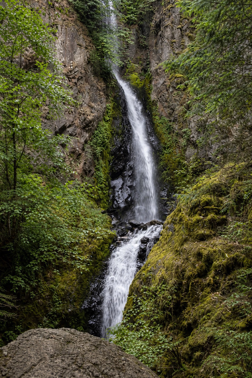 Sight · 5 mi awayHole-in-the-Wall FallsA paved path reaches a waterfall created to save the highway.
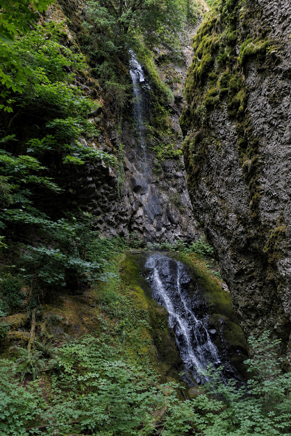 Sight · 5.2 mi awayCabin Creek FallsA two-tier fall threads through a mossy basalt cleft.
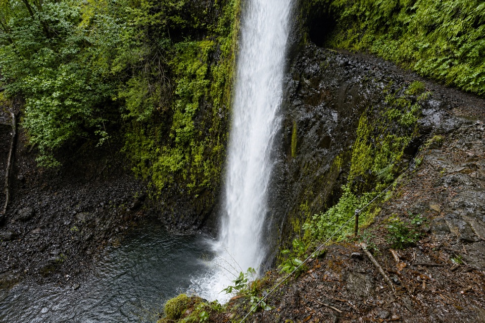 Sight · 5.3 mi awayTunnel FallsWalk behind a waterfall after a long canyon hike
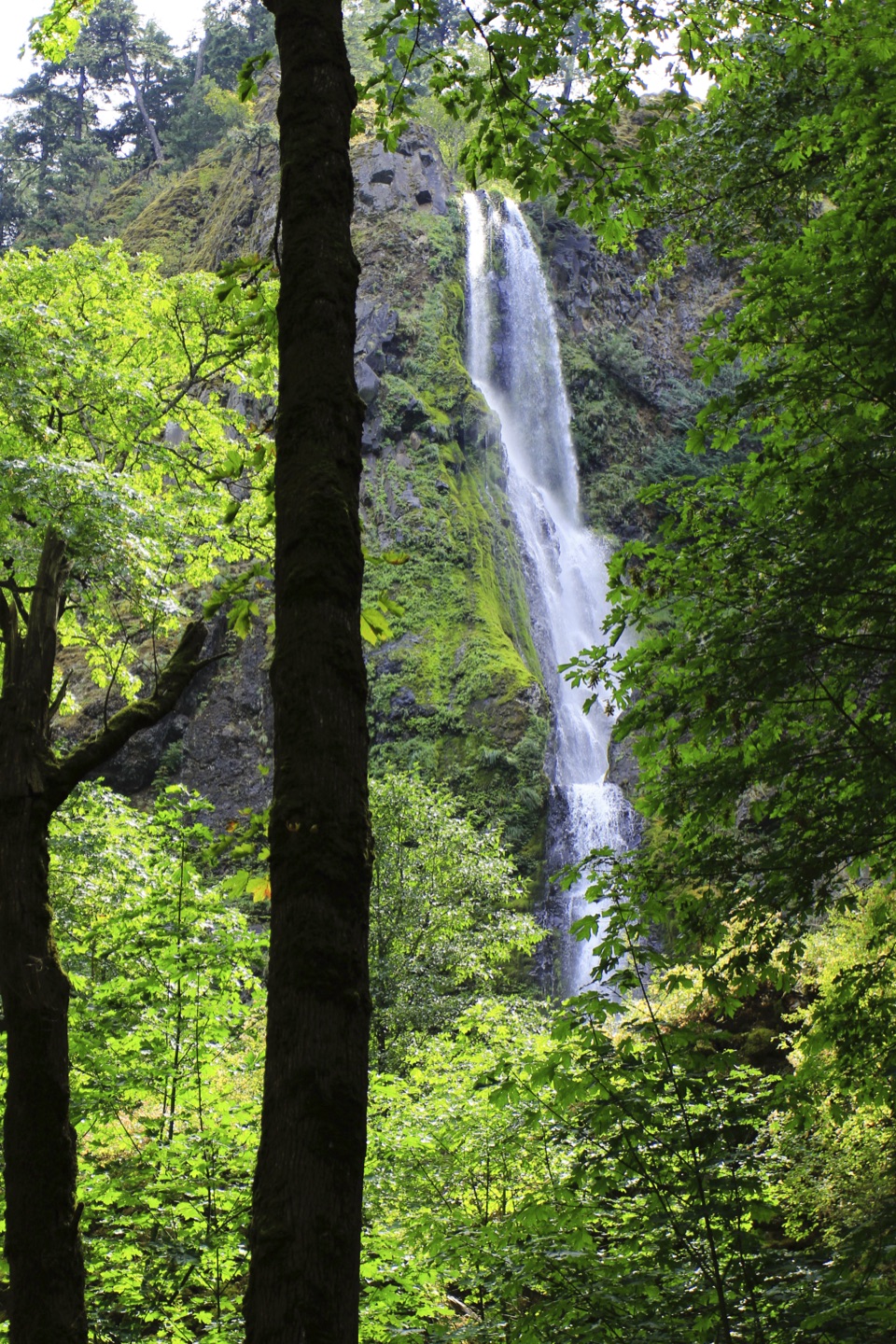 Sight · 5.4 mi awayStarvation Creek FallsA short walk to a waterfall with a story of snowbound trains.
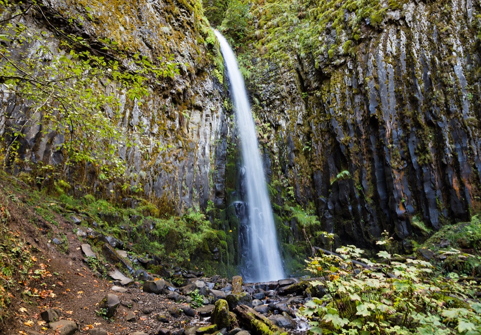 Sight · 5.6 mi awayDry Creek FallsA basalt cleft waterfall beside old concrete diversion works.
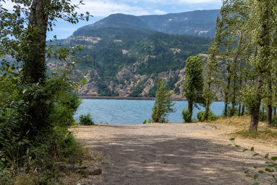 Campground · 6.4 mi awayViento State Park & CampgroundCamp beside the Columbia, with an accessible trail to waterfalls.
Parkwolf’s Columbia River Gorge ranking

The audio tour guide for the drive, plus offline maps, trails, and wildlife heatmaps for when the signal drops.





