Parking
Use the Mount Defiance South Trailhead pullout on Forest Road 2820. It holds only four to five vehicles, and the road is rough and dusty. The Forest Service lists no fee; there is no restroom or potable water.
Columbia River Gorge National Scenic Area, OR · WA
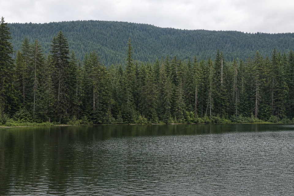
A quiet lake below Mount Defiance, reached by a short forest climb.
Overview
Map & elevation
Plan your hike

The highest, rockiest slopes around here are a summer buffet for grizzly bears.
Columbia River Gorge Tour Guide
Parkwolf is a GPS audio tour guide for Columbia River Gorge National Scenic Area. As you drive, it chimes in with what’s ahead: hidden gems, upcoming stops, history, geology, and wildlife, right through your car’s speakers.
More stories near here in the app
“Fantastic app with many points of information… It’s great to just turn on while you’re driving and it gives you an audio tour of the national Park. We love it!!!!”


Trail guide
Bear Lake is a 2.4-mile out-and-back from Mount Defiance South Trailhead, following Trail #413 and Bear Lake Trail #413A to a subalpine lake in Mark O. Hatfield Wilderness. Allow about two hours, including a pause at the water. It is a short destination walk rather than a summit climb, with roughly 450 feet of total climbing across both directions.
Trail #413 climbs through dense timber for half a mile to an unmarked junction; the left turn onto #413A is easy to miss. The spur contours through forest near 4,100 feet, crosses a talus field and reaches a saddle with views toward Mount Adams. From there, the last 0.2 mile drops more steeply over rocky ground to Bear Lake at 3,920 feet. That descent becomes the return climb. From the shore, frame the water with Mount Defiance’s rocky slopes above it.
Use the Mount Defiance South Trailhead pullout on Forest Road 2820. It fits only four or five vehicles, and the road is rough and dusty. There is no fee, restroom or potable water at the trailhead, so bring what you need from town.
Wildlife
 267 sightingsBald EagleMost seen around 7 AMSighting map
 51 sightingsBlack BearMost seen around 7 PMSighting map
 136 sightingsAmerican PikaMost seen around 8 AMSighting map
 16 sightingsWapitiMost seen around 7 AMSighting map
 195 sightingsMule DeerMost seen around 7 AMSighting map
 74 sightingsChinook SalmonMost seen around 6 PMSighting map
Sighting maps show where each species has been reported across Columbia River Gorge. Wildlife moves, so no sighting is guaranteed.
Keep exploring
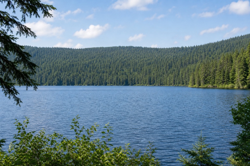 ModerateRainy Lake Loop3.1 mi · 2.5 hr · 1.1 mi awaySignal hut, summit views and a lakeshore dam in one loop.
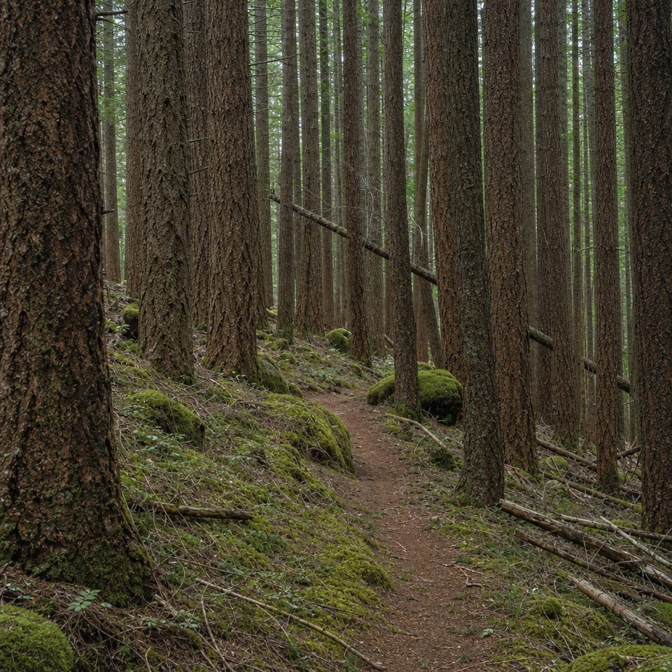 ChallengingDeadwood Trail #4220.5 mi · 1.3 hr · 3.5 mi awayA faint wilderness link between two longer routes.
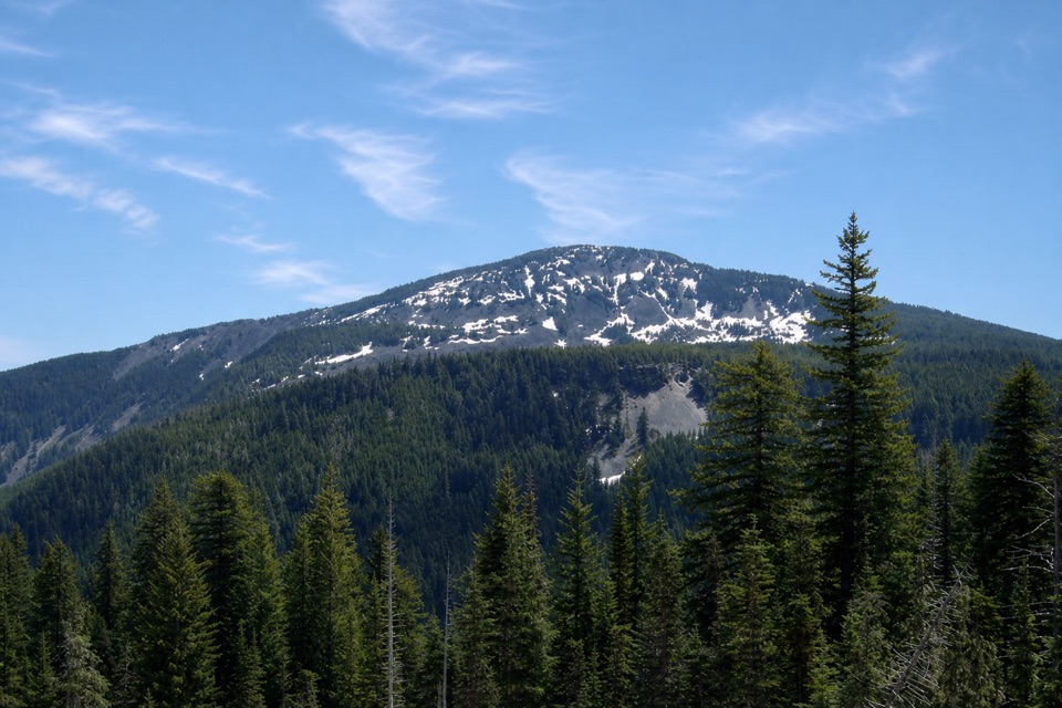 ChallengingGreen Point Ridge Loop15 mi · 11 hr · 3.8 mi awayA steep ridge loop with North Lake and wide Gorge views.
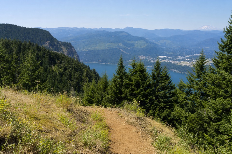 ChallengingNorth Lake via Wyeth Trail12.5 mi · 9 hr · 3.8 mi awayA steep climb through fire-opened slopes ends at a headwater lake.
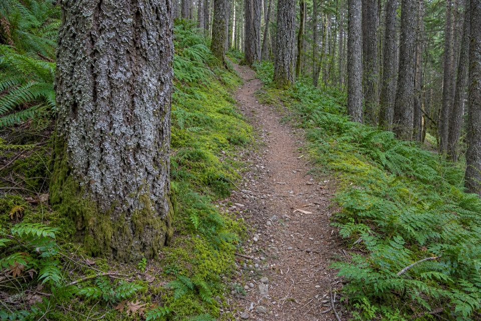 ChallengingWyeth Trail #4117.3 mi · 8 hr · 3.8 mi awayA steep 7.3-mile climb from old forest into Eagle Creek fire scar.
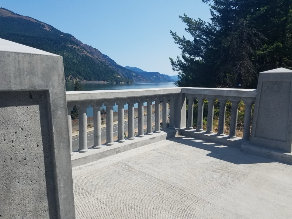 EasyHistoric Columbia River Highway State Trail: Wyeth to Viento5.8 mi · 2.8 hr · 4 mi awaySix paved miles past viaducts and waterfalls along the Gorge.
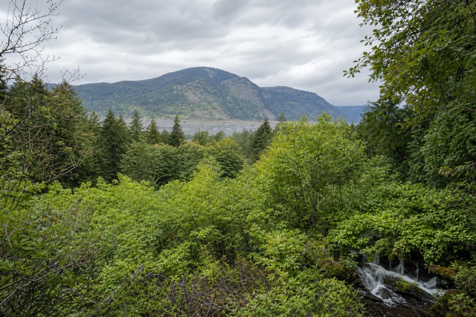 EasyLancaster Falls Trail1.6 mi · 45 min · 4.4 mi awayThree waterfall views along an easy, paved stretch of gorge.
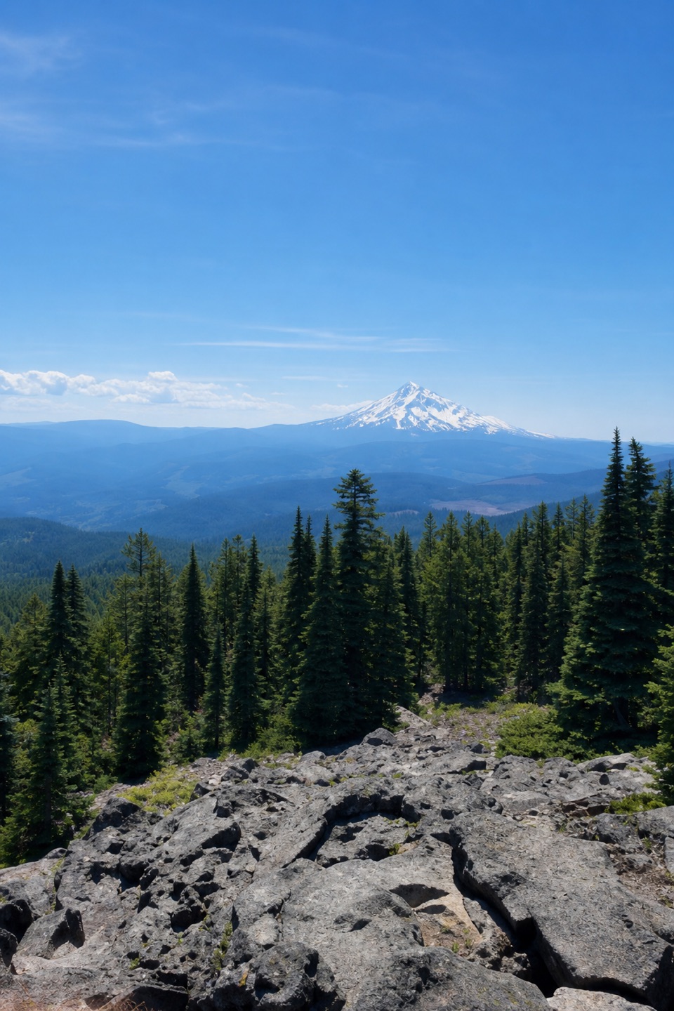 ChallengingMount Defiance Trail to the Summit10.5 mi · 9 hr · 4.4 mi awayClimb 4,900 feet for the Gorge's highest summit.
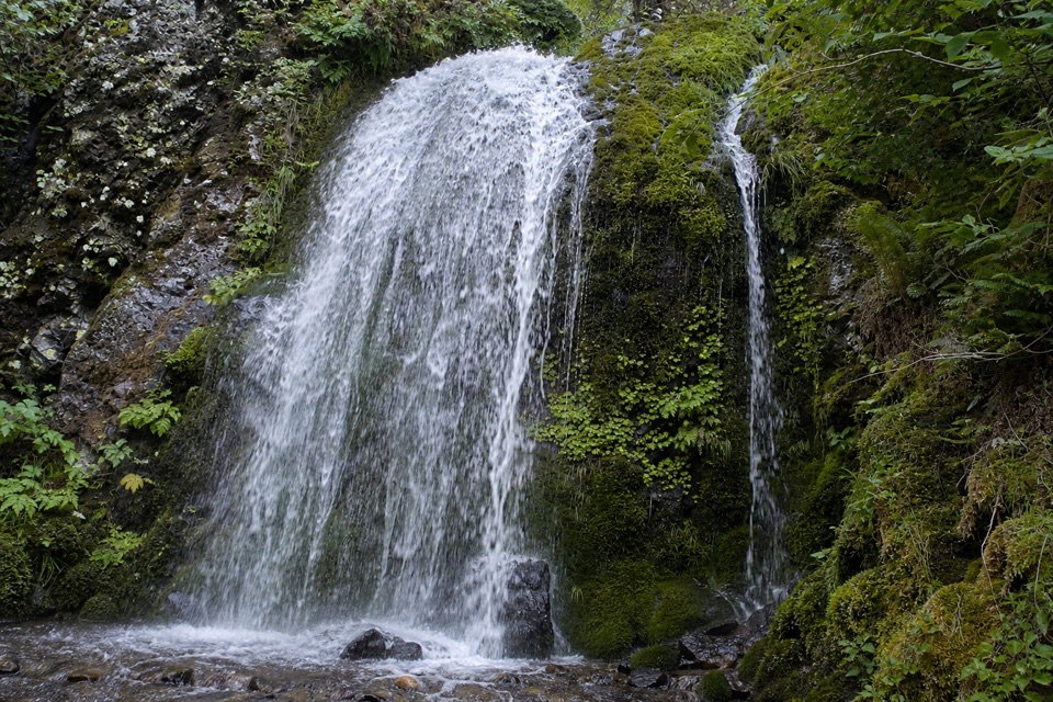 Sight · 3.8 mi awayLancaster FallsThe trail-side view catches only the lowest cascade.
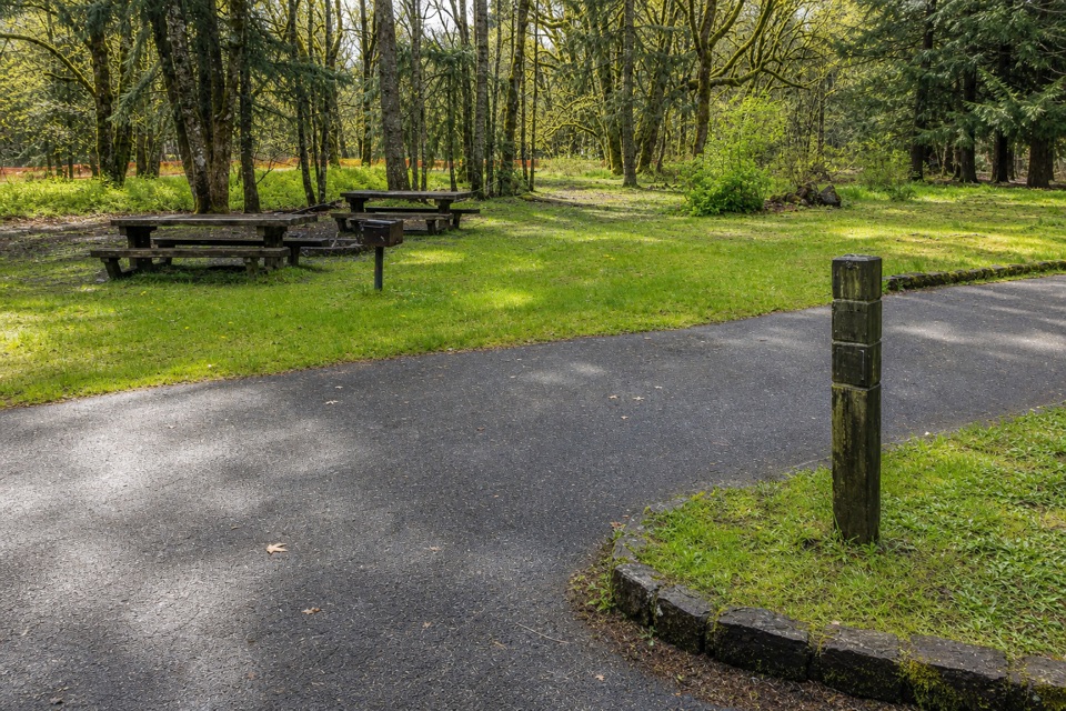 Campground · 3.9 mi awayWyeth CampgroundPaved bike trail rides start right beside this wooded campground.
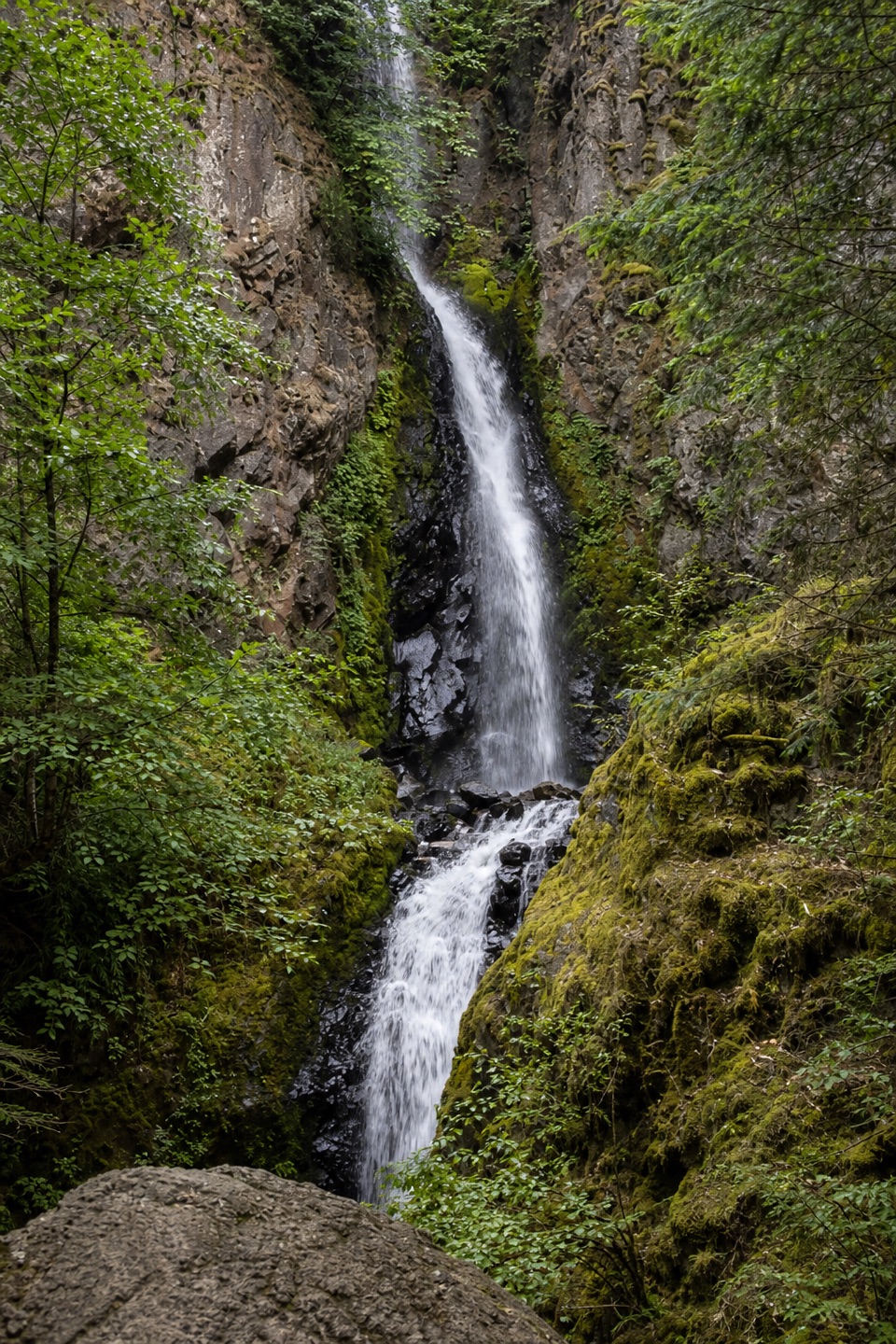 Sight · 4 mi awayHole-in-the-Wall FallsA paved path reaches a waterfall created to save the highway.
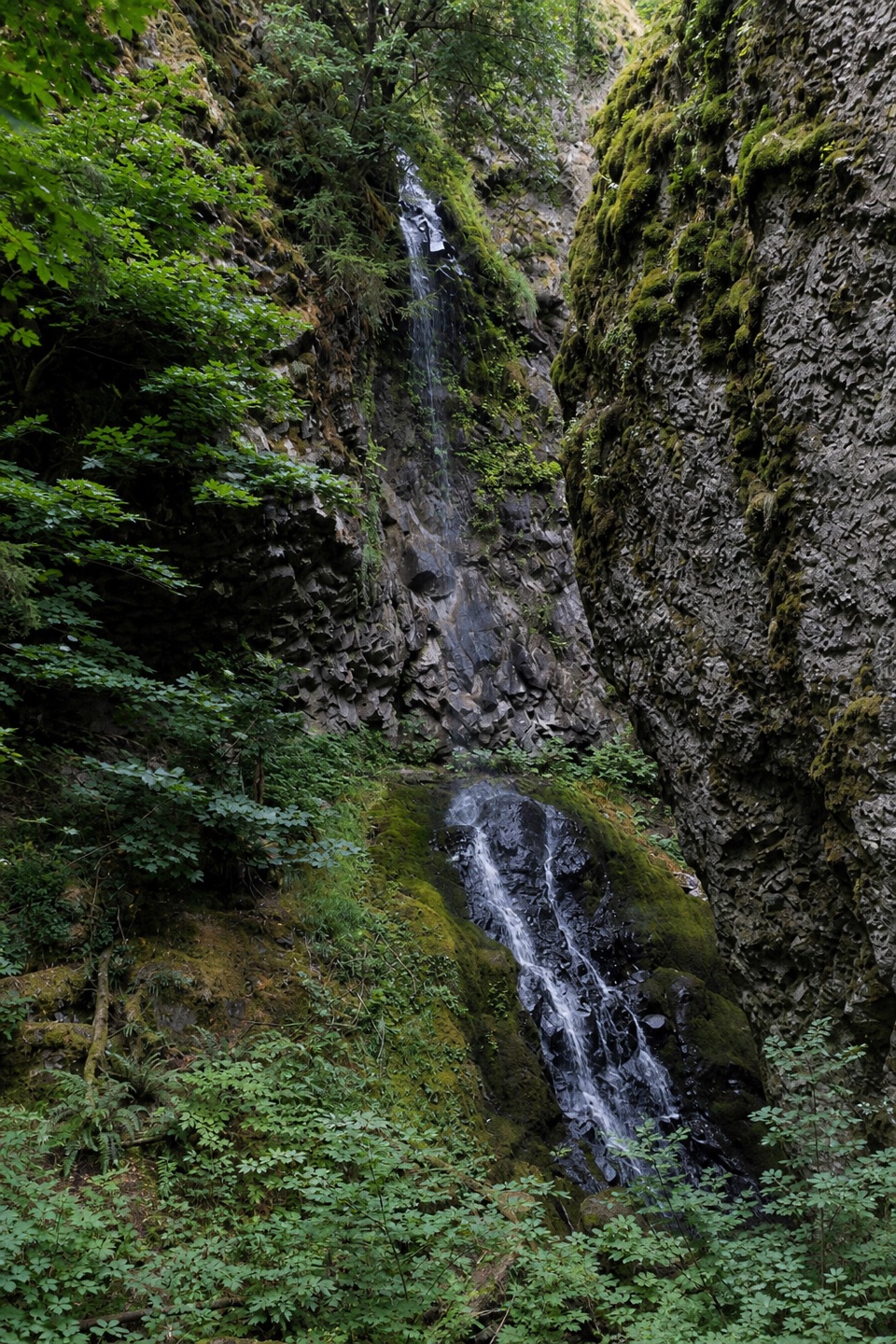 Sight · 4.2 mi awayCabin Creek FallsA two-tier fall threads through a mossy basalt cleft.
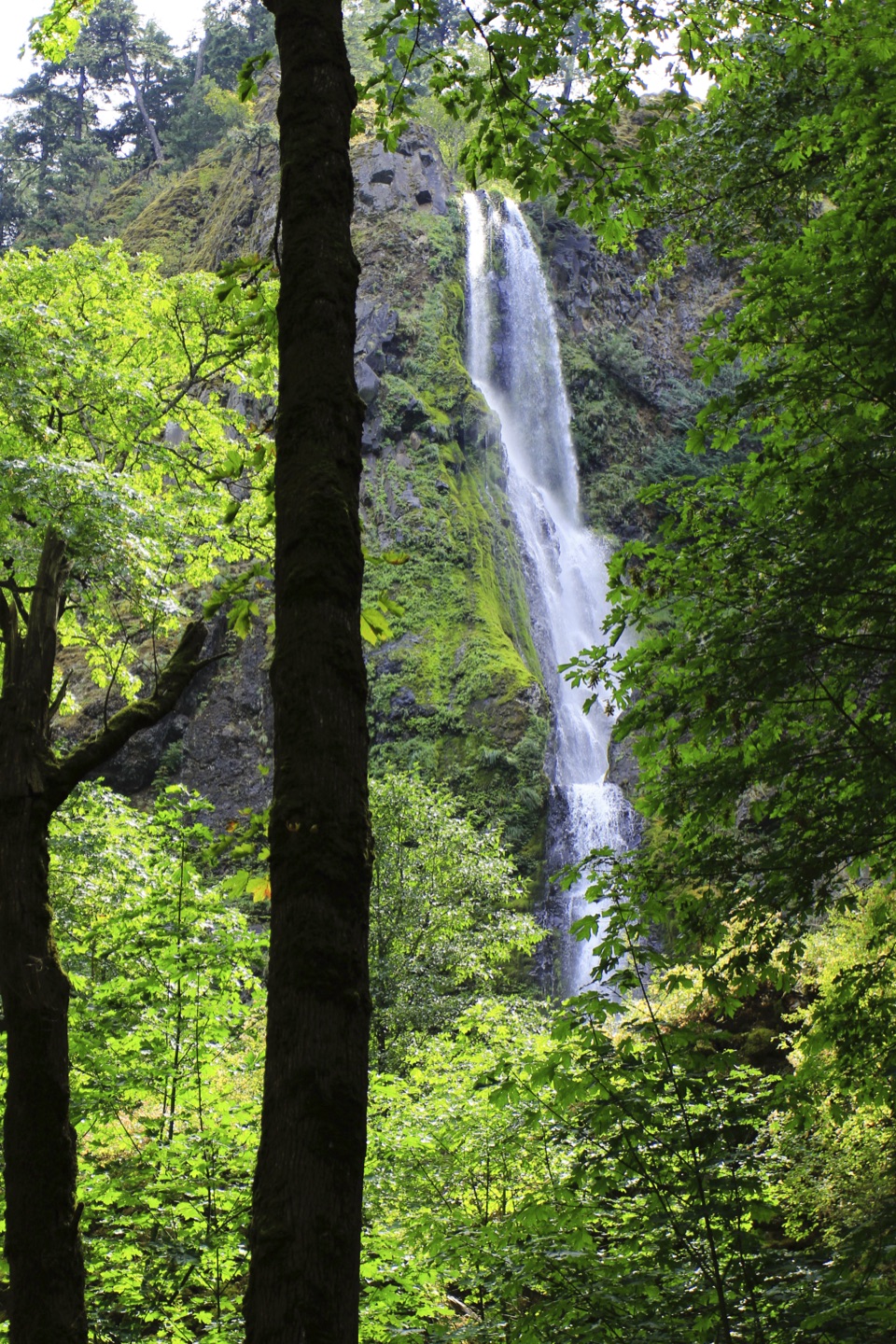 Sight · 4.4 mi awayStarvation Creek FallsA short walk to a waterfall with a story of snowbound trains.
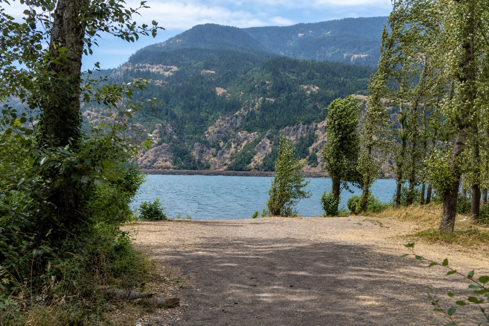 Campground · 5.4 mi awayViento State Park & CampgroundCamp beside the Columbia, with an accessible trail to waterfalls.
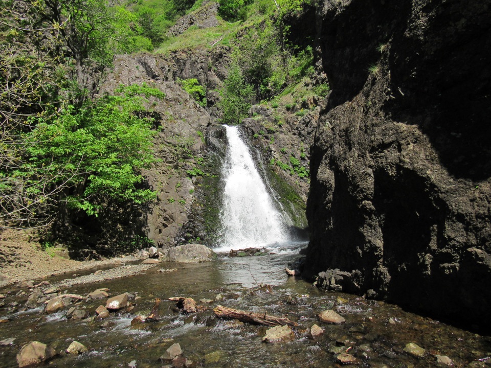 Sight · 6.2 mi awayDog Creek FallsA quick roadside stop for a waterfall and its small canyon.
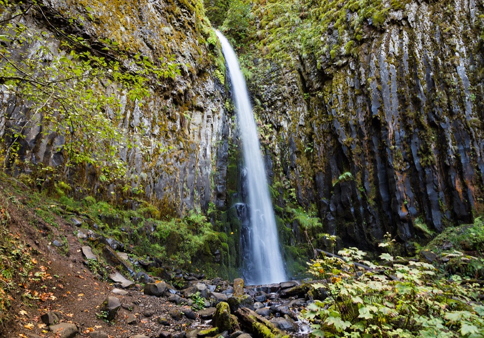 Sight · 6.2 mi awayDry Creek FallsA basalt cleft waterfall beside old concrete diversion works.
Parkwolf’s Columbia River Gorge ranking

The audio tour guide for the drive, plus offline maps, trails, and wildlife heatmaps for when the signal drops.





