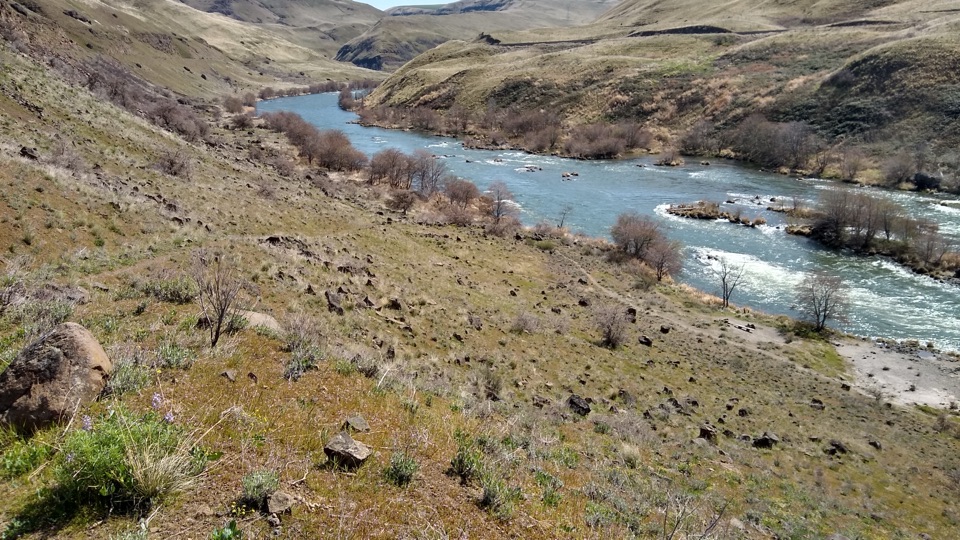
Deschutes River Trail in Columbia River Gorge National Scenic Area

Columbia River Gorge National Scenic Area, OR · WA

Deschutes River Trail

A long railbed walk beside rapids, cliffs and river history.

Photo: Wikimedia Commons
Length
22.6mi
Time
10hr
Elev. change
88ft
Difficulty
Challenging
  • Dogs allowed
  • High point 332 ft

Hear the audio tour

Deschutes River Recreation Area

Overview

About Deschutes River Trail

Why go

  • River rapids and basalt cliffs line the old railroad grade.
  • Railcar, bridge footings and a riverside caboose reward the long walk.
  • Easy to turn back early for a shorter out-and-back.

Heads up

  • The complete return to the tower is 22.6 miles.
  • The remote canyon has little shade and no confirmed drinking-water refill.

Map & elevation

The route

Loading the Columbia River Gorge map
Full map
Elevation244–332 ft
TrailheadDeschutes River State Recreation Area southern day-use parking45.63153, -120.90888
Keep this map with you offline in the Parkwolf app

Plan your hike

Before you go

Parking

From the park entrance, continue 0.4 mile past the campground to the southern paved day-use lot. A narrow uphill access trail, about 0.1 mile, reaches the railbed. Current day-use fee or pass requirements were not confirmed; check Oregon State Parks before visiting.


Safety

This is a long, remote, exposed route with limited emergency help and no confirmed potable-water refill; summer temperatures regularly reach the 100s. Rattlesnakes and ticks occur. Parts of the recreation area are open to hunting after trail mile 1 outside its closed season; check the current hunting map. Stay on the public trail where a cattle grid marks private land.

8 active Columbia River Gorge alerts

  • ClosureEagle Creek Fire area closureDo not enter Oneonta Gorge or the specified trail sections because hazards remain following the Eagle Creek Fire.Official details
  • CautionAircraft and drone restrictions at developed recreation sitesAircraft and drone landings, drop-offs, and pickups are prohibited at six high-use developed recreation sites to protect visitor safety.Official details
See all 8 alerts
A park ranger sits on a dash-mounted phone, talking, as Parkwolf’s Tour Guide plays “Army Cutworm Moths: A Grizzly Bear Buffet” on Grand Loop Road below Dunraven Pass in Yellowstone
Parkwolf Tour GuideThe highest, rockiest slopes around here are a summer buffet for grizzly bears.

Columbia River Gorge Tour Guide

Your drive to Deschutes River Trail, narrated.

Parkwolf is a GPS audio tour guide for Columbia River Gorge National Scenic Area. As you drive, it chimes in with what’s ahead: hidden gems, upcoming stops, history, geology, and wildlife, right through your car’s speakers.

Recorded for this trailhead

Deschutes River Recreation Area
0:00 / 0:28
“Up ahead is Deschutes River State Recreation Area, where the Deschutes meets the Columbia.”

Plays as you drive up to this trailhead in the Parkwolf Columbia River Gorge Tour Guide.

More stories near here in the app

  • The Meadowlark’s Hidden Trick
  • The Whistle from the Rocks
  • When the Wind Makes Power
  • The Railroad Race Up the Deschutes
  • 217 audio storiesacross Columbia River Gorge’s roads, triggered by GPS as you drive
  • Wildlife heatmapsfor Bald Eagle, Black Bear, American Pika, and 13 more
  • Works offlinemaps, 111 trails, 78 places, and audio download before you lose signal
  • CarPlay readysimple controls built for the drive
★★★★★
“Fantastic app with many points of information… It’s great to just turn on while you’re driving and it gives you an audio tour of the national Park. We love it!!!!”
JMJamesApp Store review
Download Parkwolf on the App StoreGet Parkwolf on Google Play

4.7 from 8,600+ ratings

Trail guide

Hiking Deschutes River Trail

A full-day river routeThis is a 22.

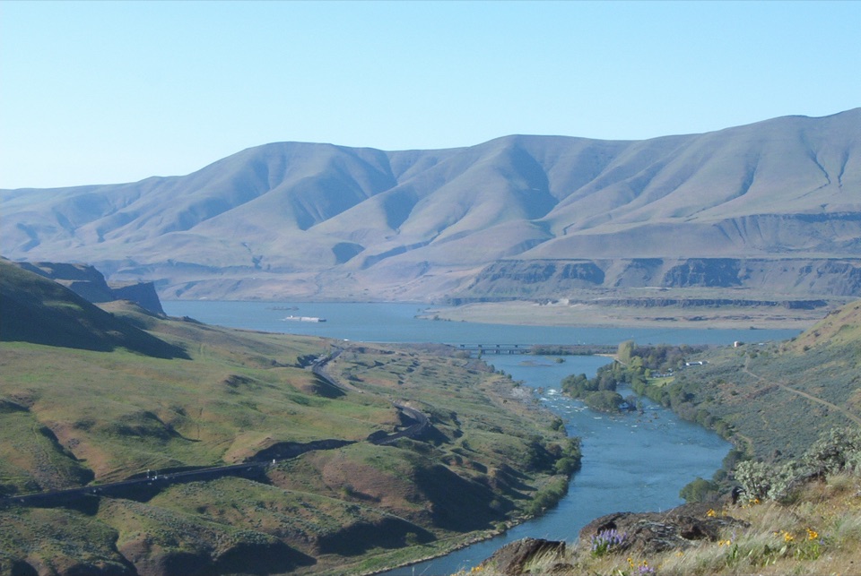
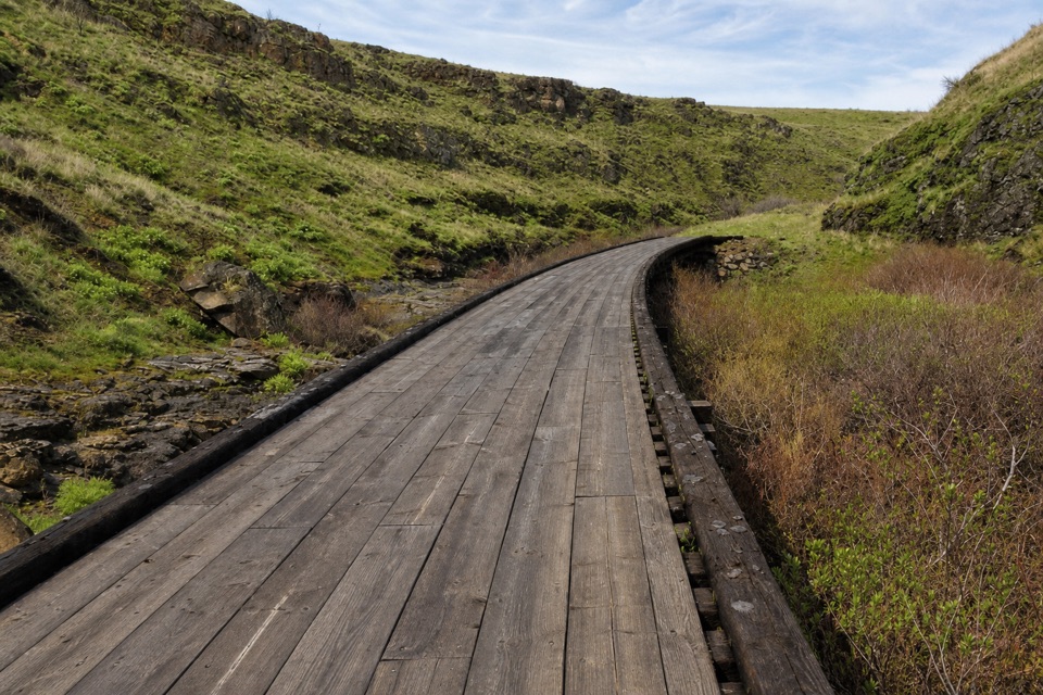
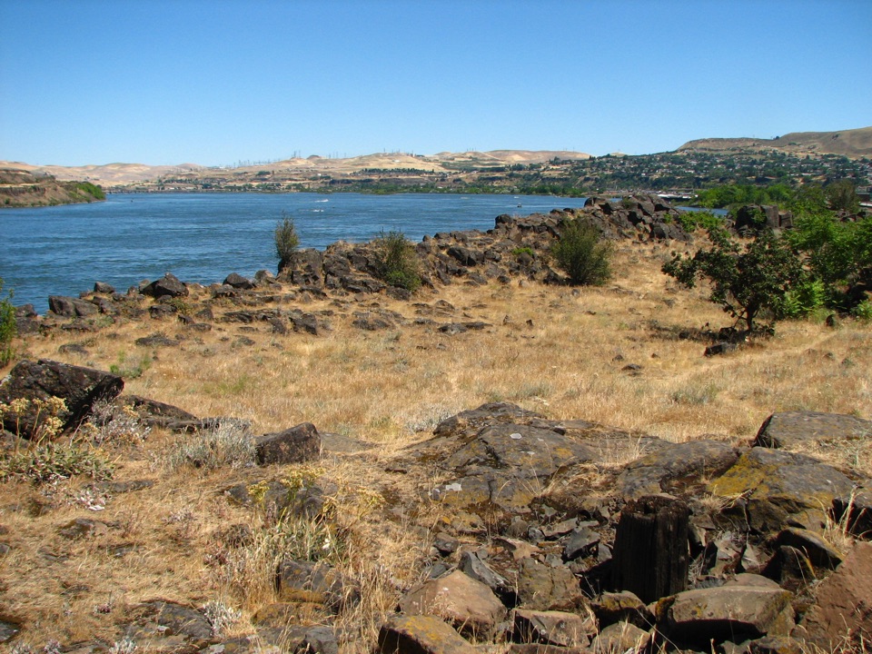
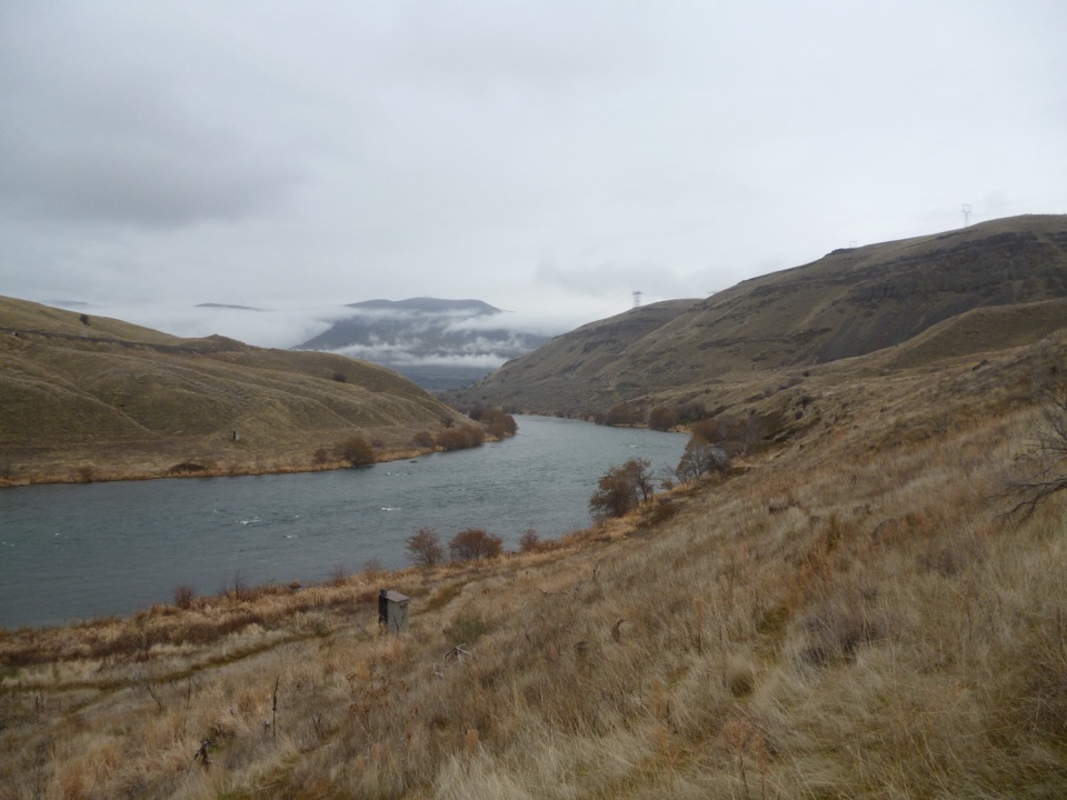
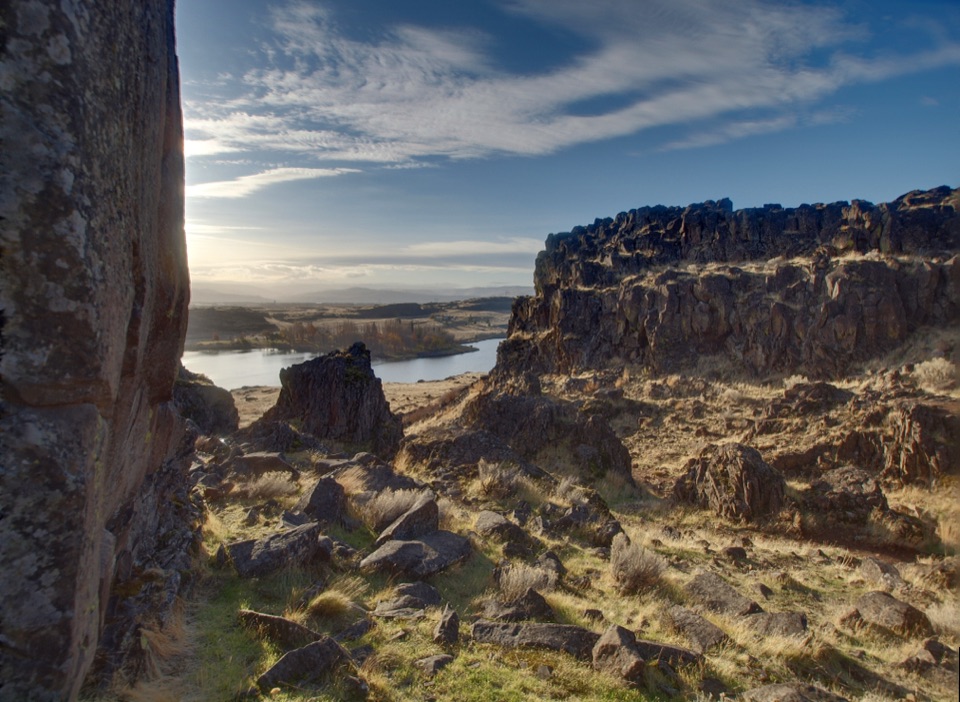
This is a 22.6-mile out-and-back from Deschutes River State Recreation Area’s southern day-use lot to Harris Canyon Water Tower and back. The 11.3-mile leg follows a wide, nearly level gravel railbed along the Deschutes’ east bank, with rapids, basalt cliffs and remnants of the railroad and ranches that used this canyon. Do it if a long day of walking sounds appealing. The distance—not climbing—is the main challenge.

Where the old grade dipsFrom the lot, take the narrow uphill connector, about 0.1 mile, to the former railbed.

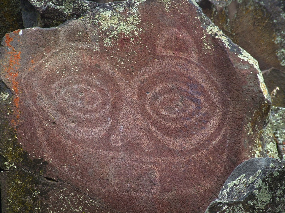
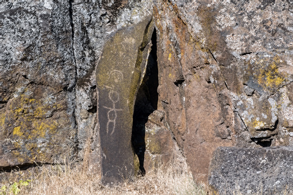
From the lot, take the narrow uphill connector, about 0.1 mile, to the former railbed. The first two miles stay within the recreation area, then the route crosses Oregon Department of Fish and Wildlife and Bureau of Land Management land. Near Gordon Canyon, leave the broad grade briefly on a vehicle track, descend to cross Gordon Creek, then climb back up. The trail passes below Gordon Cliffs, where lichen outlines radiating circles in the basalt.

Rail and river historyAt mile 5.6, a preserved railcar still has its wooden floor; a side path reaches the water.

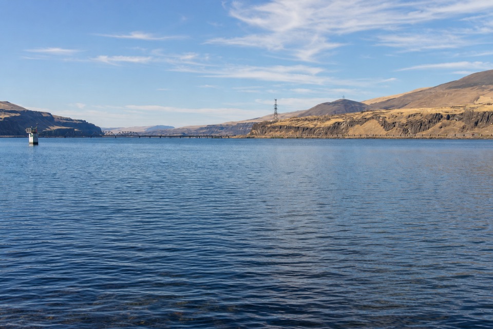
At mile 5.6, a preserved railcar still has its wooden floor; a side path reaches the water. Free Bridge’s stone footings appear at mile 6.6. Wasco County built the bridge in 1887 and rebuilt it in 1905; it was apparently dynamited in 1914. Beyond the footings, Washout Rapids wrap around a river bend beside a rubble-strewn basalt cut. At mile 7.8, the former trestle ramp is gone. Later, a cattle grid marks private land: stay on the trail between grids. Fall Canyon Camp is at mile 10.1. Near the end, pass the remains of Harris Homestead, corrals, hackberry trees and a refurbished caboose before reaching the water tower. Frame the surviving bridge footings with the river and rapids for the trail’s signature photo.

Plan for a long, open dayAllow about 10 hours for the full return.

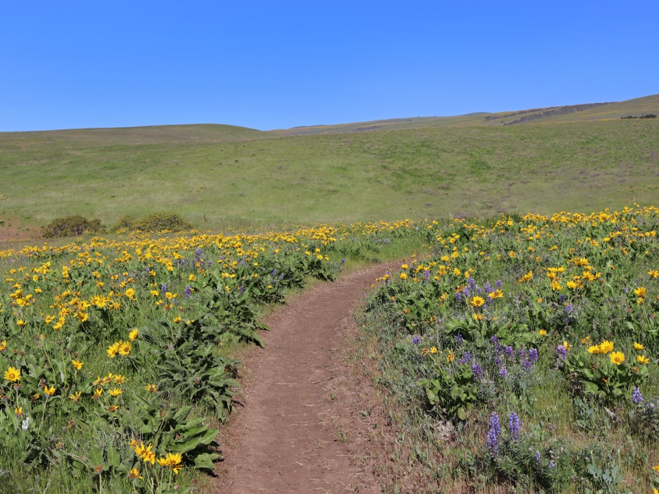
Allow about 10 hours for the full return. There’s little shade and no confirmed drinking-water source, and summer temperatures regularly reach the 100s. The park warns that emergency help is limited; carry the water you need before leaving the campground. Late winter and early spring bring wildflowers. Restrooms are at the campground before the lot, and dogs must stay leashed. The southern paved day-use lot is 0.4 mile past the campground on the park entrance drive. The current day-use fee or pass requirement wasn’t confirmed, so check current parking rules before you go.

Wildlife

Wildlife in Columbia River Gorge

All Columbia River Gorge wildlife maps

Sighting maps show where each species has been reported across Columbia River Gorge. Wildlife moves, so no sighting is guaranteed.

Parkwolf’s Columbia River Gorge ranking

Top-rated trails in Columbia River Gorge

All 111 trails
  1. 1Eagle Creek Trail #440 to Tunnel FallsChallenging · 11.7 mi
  2. 2Multnomah Falls Trail to the TopModerate · 2.4 mi
  3. 3Multnomah–Wahkeena Falls LoopChallenging · 4.8 mi
  4. 4Dog Mountain LoopChallenging · 6.9 mi
  5. 5Angel's Rest TrailModerate · 4.8 mi
  6. 6Cape Horn Loop TrailChallenging · 6.5 mi

Take Parkwolf to Columbia River Gorge.

The audio tour guide for the drive, plus offline maps, trails, and wildlife heatmaps for when the signal drops.

4.7 from 8,600+ ratings

Download Parkwolf on the App StoreGet Parkwolf on Google Play