Parking
Begin at the east end of the Columbia Gorge Discovery Center parking lot. The eastern end of The Dalles Riverfront Park has parking for a pickup. This is an 8-mile point-to-point walk; arrange a ride or allow about 16 miles to retrace it.
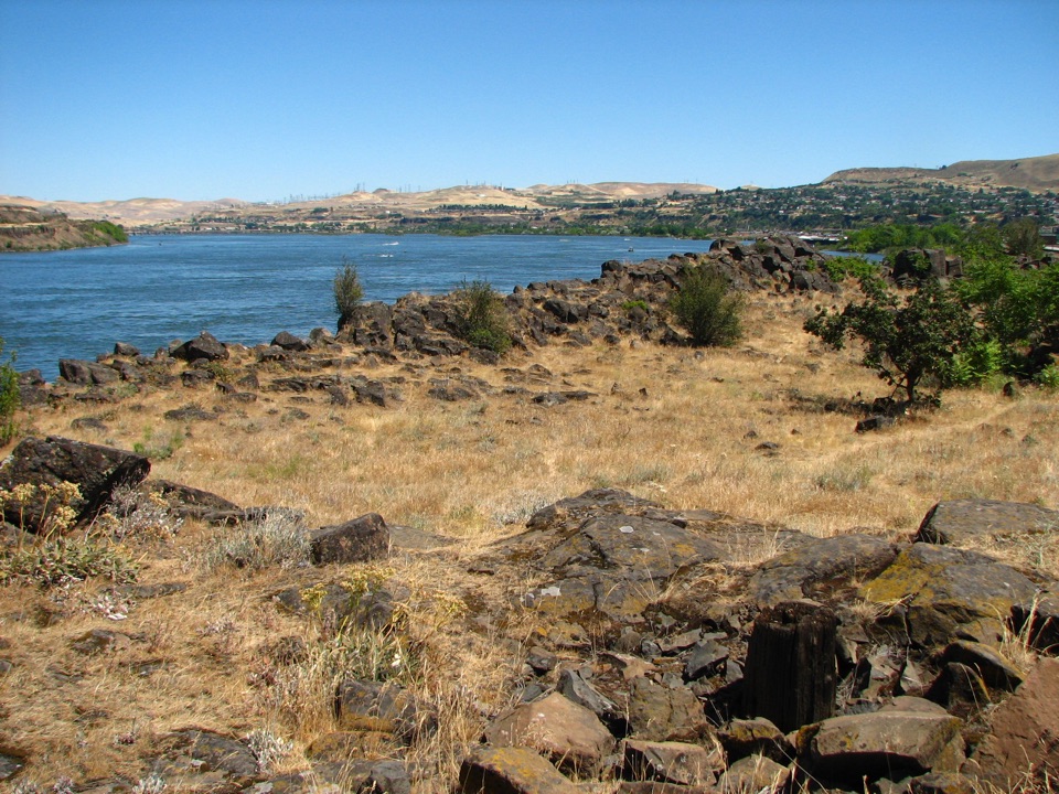
Columbia River Gorge National Scenic Area, OR · WA
A riverfront path to historic Fort Camp, coves, and a sandy beach.
Overview
Map & elevation
Plan your hike

The highest, rockiest slopes around here are a summer buffet for grizzly bears.
Columbia River Gorge Tour Guide
Parkwolf is a GPS audio tour guide for Columbia River Gorge National Scenic Area. As you drive, it chimes in with what’s ahead: hidden gems, upcoming stops, history, geology, and wildlife, right through your car’s speakers.
Recorded for this area
Columbia Gorge Discovery Center“You're approaching the Columbia Gorge Discovery Center and Museum outside The Dalles. If you want the story behind the scenery, give this one a few hours.”
Plays on the road 0.2 mi from the trailhead in the Parkwolf Columbia River Gorge Tour Guide.
More stories near here in the app
“Fantastic app with many points of information… It’s great to just turn on while you’re driving and it gives you an audio tour of the national Park. We love it!!!!”


Trail guide
The Dalles Riverfront Trail is an 8-mile, one-way point-to-point paved route following the Columbia from the east side of the Columbia Gorge Discovery Center lot to the east end of The Dalles Riverfront Park. Walkers and cyclists share a broad path, generally 8 to 12 feet wide. The route is mostly level and passes rocky river coves, historic sites, a cruise dock and a sandy shoreline. Allow about 3½ hours on foot. This is a through-route; walking back to your car doubles the distance.
The main path heads east from the Discovery Center. A short westward spur toward Crate’s Point is optional and outside the stored 8 miles. The river appears between basalt ledges and small coves; farther along, a bridge crosses Chenoweth Creek. Around the former smelter grounds, the route bends inland and follows Klindt Drive and River Road before turning back toward the shore through Bargeway Road and West 1st Street. That road-and-industrial section interrupts the riverside stretch, so keep track of the turns instead of expecting an uninterrupted waterfront promenade.
Near the river, Fort Camp marks a Lewis and Clark Expedition campsite, and an expedition journal records local visitors in 1806. Its low stone walls sit above the Columbia, with the opposite shore behind them. Farther east, the path passes the cruise dock and runs along the sandy beach and park shoreline to its eastern end. The beach is a natural stopping point, but continuing on the paved path completes the full route. At Fort Camp, frame the stone walls with the river behind them for a clear sense of the site’s position above the water.
Start at the east end of the Discovery Center lot; Riverfront Park has parking for a pickup near the eastern end. Several street access points let visitors walk shorter sections. Restrooms are available at Pocket Park; the Discovery Center’s facilities belong to the separate museum stop. Benches, bicycle repair stations and dog-waste bags are provided along the route. Most of the path is described as ADA accessible, but the street connectors and full eight miles should not be assumed accessible as one continuous outing. Leashed dogs are allowed and no permit is required. Arrange a ride or allow about 16 miles to retrace the whole route.
Wildlife
 267 sightingsBald EagleMost seen around 7 AMSighting map
 51 sightingsBlack BearMost seen around 7 PMSighting map
 136 sightingsAmerican PikaMost seen around 8 AMSighting map
 16 sightingsWapitiMost seen around 7 AMSighting map
 195 sightingsMule DeerMost seen around 7 AMSighting map
 74 sightingsChinook SalmonMost seen around 6 PMSighting map
Sighting maps show where each species has been reported across Columbia River Gorge. Wildlife moves, so no sighting is guaranteed.
Keep exploring
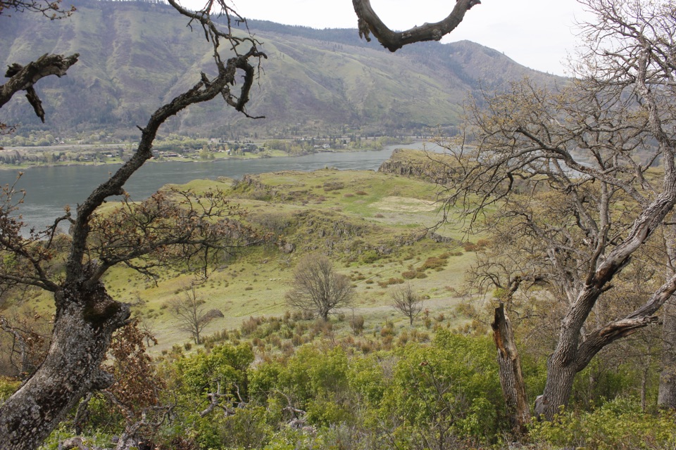 ModerateLyle Cherry Orchard Trail5 mi · 3.5 hr · 3.6 mi awayAn old orchard and spring blooms above the Columbia.
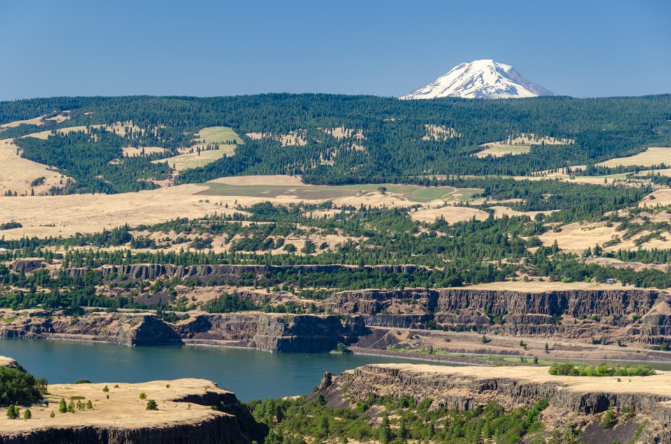 ModerateTom McCall Point Trail3.5 mi · 3 hr · 4.9 mi awaySpring flowers lead to a windy bluff with big Gorge views.
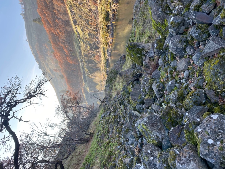 ModerateKlickitat Trail — Fisher Hill to Klickitat11.4 mi · 5 hr · 4.9 mi awayA quiet riverside rail bed, with a fishway and a long walk.
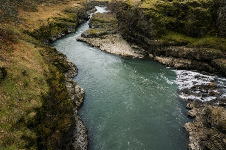 ModerateKlickitat Trail: Fisher Hill Bridge to Pitt8.5 mi · 4 hr · 4.9 mi awayA long, gentle rail-trail walk beside the Klickitat River.
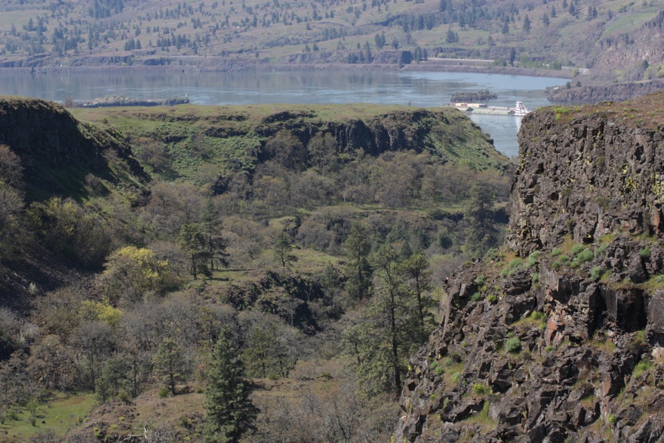 EasyRowena Plateau Loop2.6 mi · 1.5 hr · 4.9 mi awayIce Age ponds, spring flowers and two big views from the plateau.
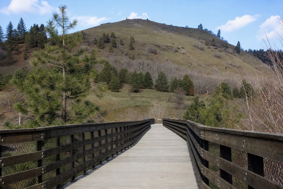 EasyKlickitat Trail: Lyle to Fisher Hill Trestle3.2 mi · 1.5 hr · 5 mi awayEasy riverside walking ends at Fisher Hill’s high trestle.
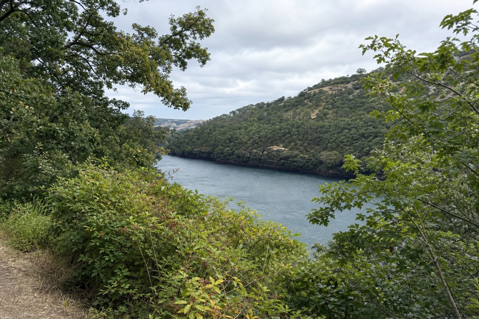 EasyBalfour-Klickitat Loop0.8 mi · 30 min · 5.2 mi awayA short paved loop to a bird blind above the Klickitat.
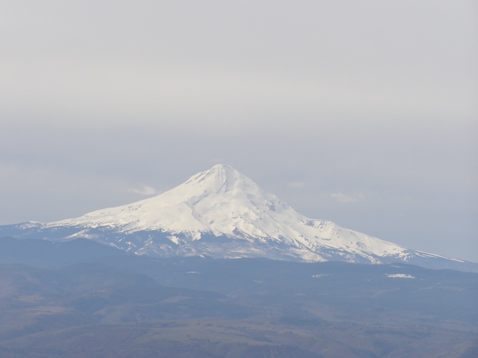 ModerateStacker Butte Trail5 mi · 2.8 hr · 6.3 mi awayA bare gravel climb opens onto wide Gorge and volcano views.
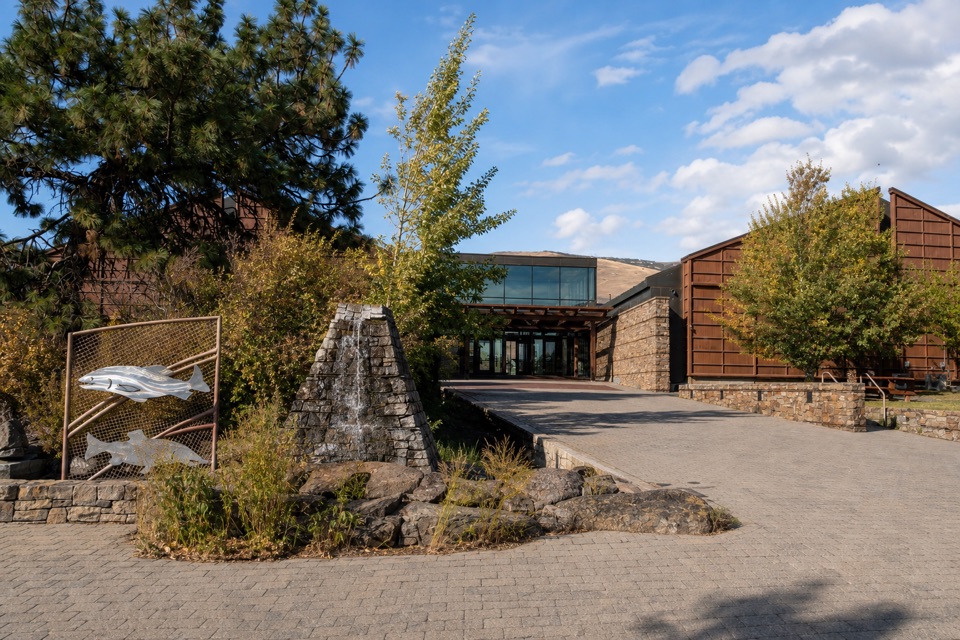 Sight · 0.1 mi awayColumbia Gorge Discovery Center & MuseumIce Age fossils, Gorge history, and raptors on a riverside campus.
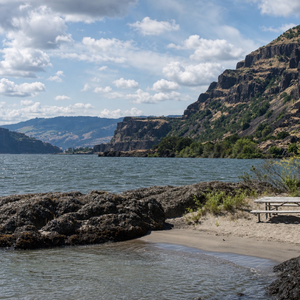 Beach · 2.1 mi awayDoug’s Beach State ParkWatch Gorge windsurfing from a sandy shore, with basalt cliffs behind.
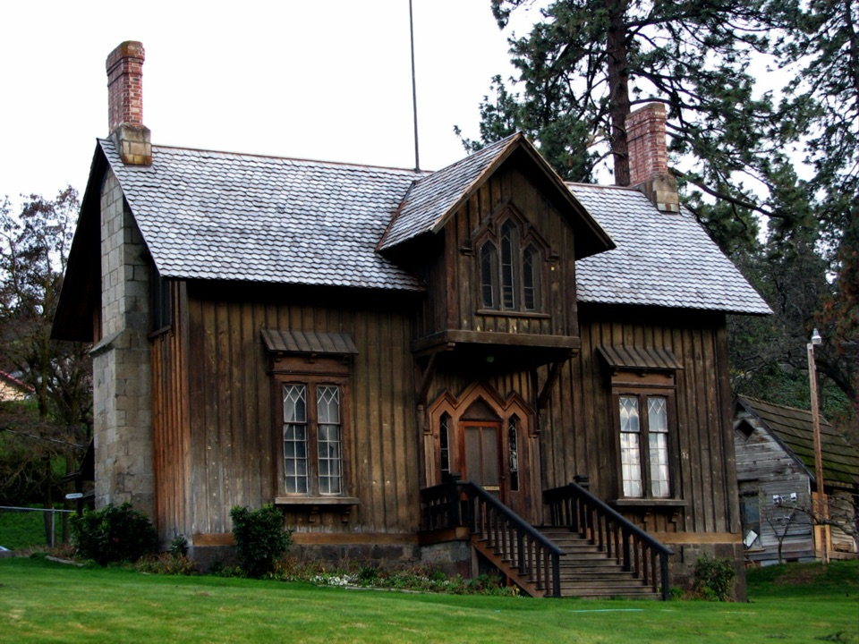 Sight · 4 mi awayFort Dalles Museum & Anderson HomesteadAn 1856 fort home with vehicles and an included 1895 homestead.
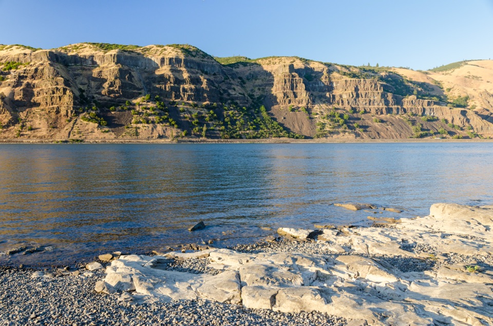 Sight · 4.3 mi awayMayer State Park – River AccessChoose among wind sports, sheltered paddling, or a riverbank picnic.
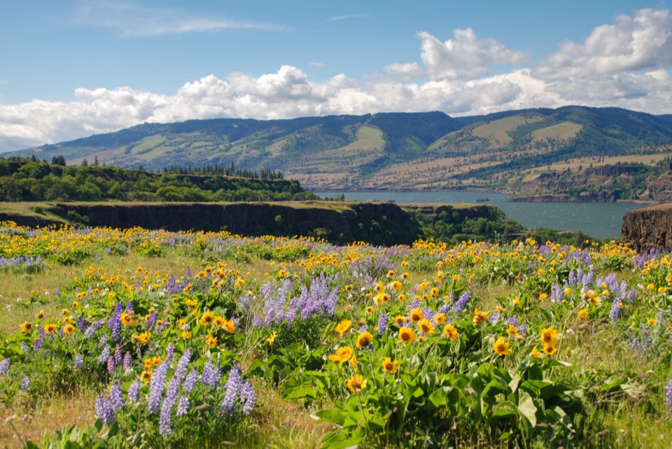 Sight · 4.8 mi awayRowena Crest OverlookSee the Columbia and Rowena Loops together in one roadside view.
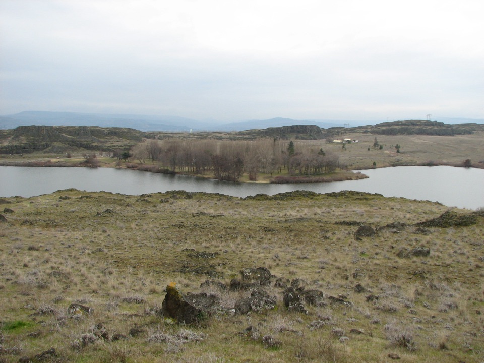 Campground · 5 mi awayHorsethief Lake Recreation Area & CampgroundA compact campground with a swimmable lake and easy picnic grounds.
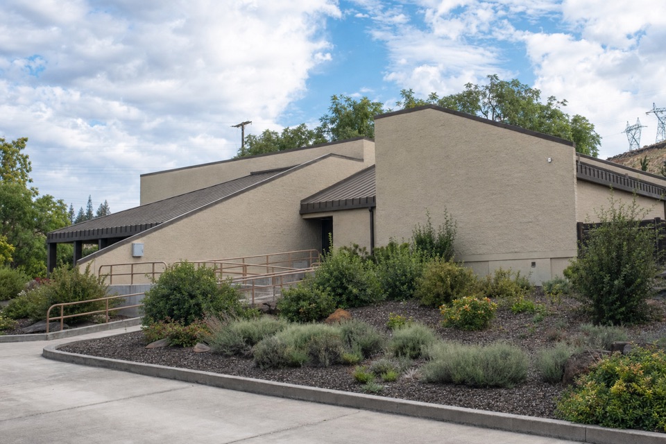 Visitor center · 5 mi awayThe Dalles Dam Visitor CenterAn up-close look at dam engineering and the Columbia's fish ladder.
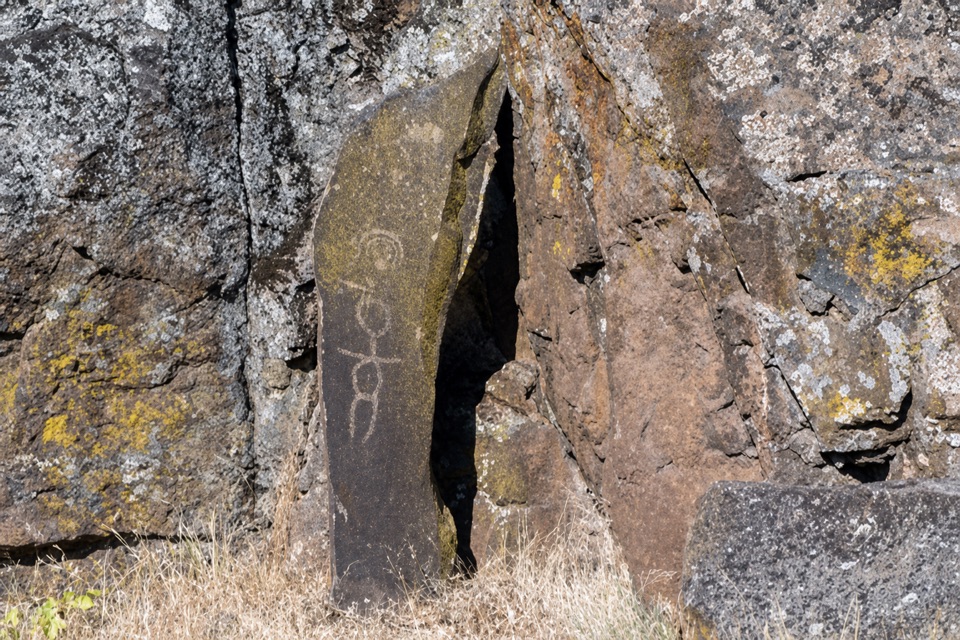 Sight · 5.1 mi awayTemani Pesh-Wa Petroglyph DisplayRock art moved before The Dalles Dam reservoir covered the originals.
Parkwolf’s Columbia River Gorge ranking

The audio tour guide for the drive, plus offline maps, trails, and wildlife heatmaps for when the signal drops.





