Parking
Drive the paved park road to its end at Lower Deschutes Trailhead by the group camping area. Walk across the field toward Blackberry Trail.
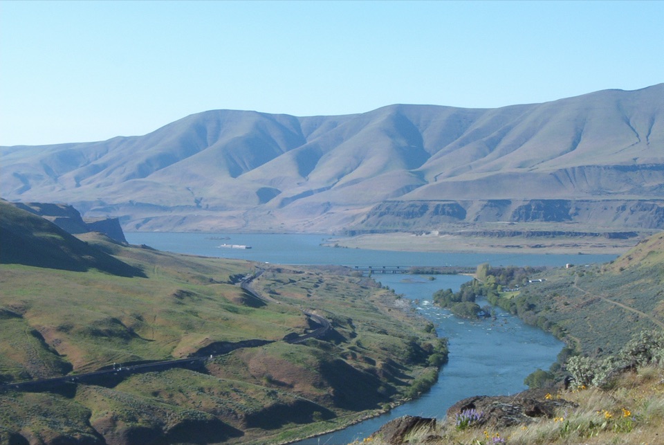
Columbia River Gorge National Scenic Area, OR · WA
River views, a spring canyon and flowers on one moderate loop.
Overview
Ferry Springs Loop is about 4.5 miles from Lower Deschutes Trailhead, linking a shady riverside tread to open canyon slopes above where the Columbia and Deschutes meet. It is a moderate half-day walk for people who want river views and spring flowers in one circuit. Expect about 580 feet of climbing and roughly three hours with stops; exposed grassland gets extremely hot in summer.
 Parkwolf’s verdictWhy this loop works
Map & elevation
Plan your hike

The highest, rockiest slopes around here are a summer buffet for grizzly bears.
Columbia River Gorge Tour Guide
Parkwolf is a GPS audio tour guide for Columbia River Gorge National Scenic Area. As you drive, it chimes in with what’s ahead: hidden gems, upcoming stops, history, geology, and wildlife, right through your car’s speakers.
Recorded for this trailhead
Deschutes River Recreation Area“Up ahead is Deschutes River State Recreation Area, where the Deschutes meets the Columbia.”
Plays as you drive up to this trailhead in the Parkwolf Columbia River Gorge Tour Guide.
More stories near here in the app
“Fantastic app with many points of information… It’s great to just turn on while you’re driving and it gives you an audio tour of the national Park. We love it!!!!”


Trail guide
Walk south across the field to Blackberry Trail. At the signed junction, climb to the bench and follow Riverview toward the rocky outcrop above Rattlesnake Bend. Drop to the old railbed, then take the short connector into Ferry Springs Canyon. The trail winds through open grassland to the spring, a green seam in a dry draw, crosses a stream, then descends beneath rimrock along an 1860s wagon road and through a rubbly wash. A final stretch on the near-level old railway grade and a signed trail back to the field close the circuit.
Spring brings lupine, balsamroot and blanket flower to the slopes. The area also served as a regrouping point for Oregon Trail pioneers before they continued toward the Willamette Valley. Rattlesnakes are common, and nettles and poison ivy grow in riverbank brush. Dogs are allowed on leash; restrooms are by the campground. From the Rattlesnake Bend outcrop, include the river bend and rapids in your photo; the rocky edge gives a sense of the canyon's scale.
Wildlife
 267 sightingsBald EagleMost seen around 7 AMSighting map
 51 sightingsBlack BearMost seen around 7 PMSighting map
 136 sightingsAmerican PikaMost seen around 8 AMSighting map
 16 sightingsWapitiMost seen around 7 AMSighting map
 195 sightingsMule DeerMost seen around 7 AMSighting map
 74 sightingsChinook SalmonMost seen around 6 PMSighting map
Sighting maps show where each species has been reported across Columbia River Gorge. Wildlife moves, so no sighting is guaranteed.
Keep exploring
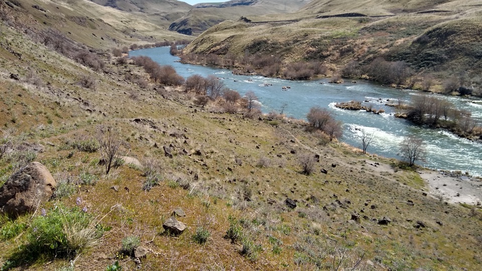 ChallengingDeschutes River Trail22.6 mi · 10 hr · 0.1 mi awayA long railbed walk beside rapids, cliffs and river history.
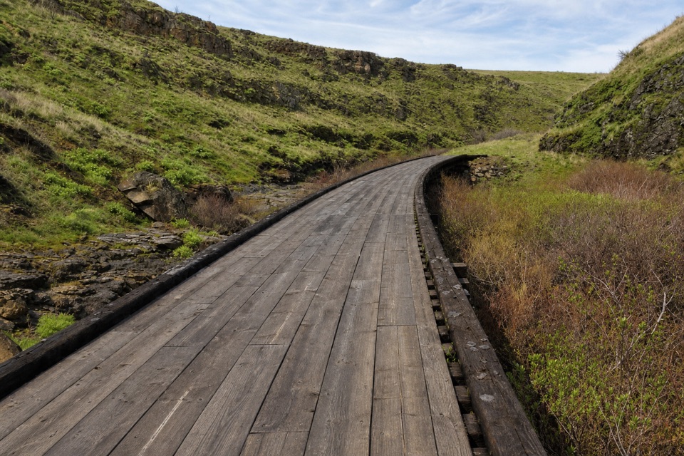 ModerateKlickitat Trail — Swale Canyon10.2 mi · 5 hr · 8.8 mi awayRocky railbed, trestles, and a creek-side turnaround.
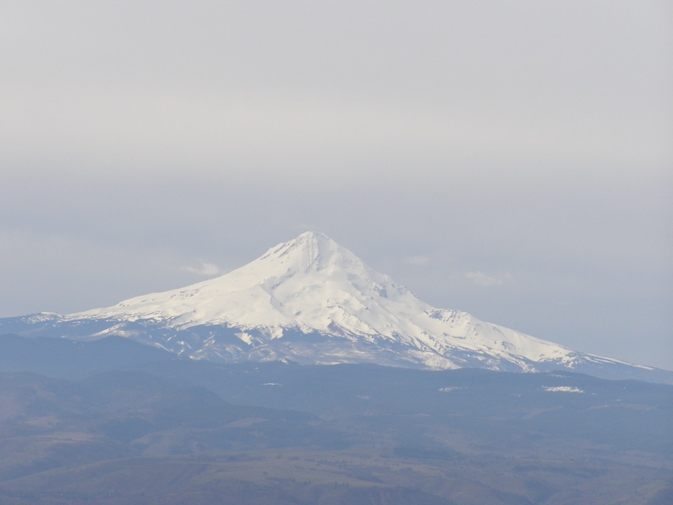 ModerateStacker Butte Trail5 mi · 2.8 hr · 10 mi awayA bare gravel climb opens onto wide Gorge and volcano views.
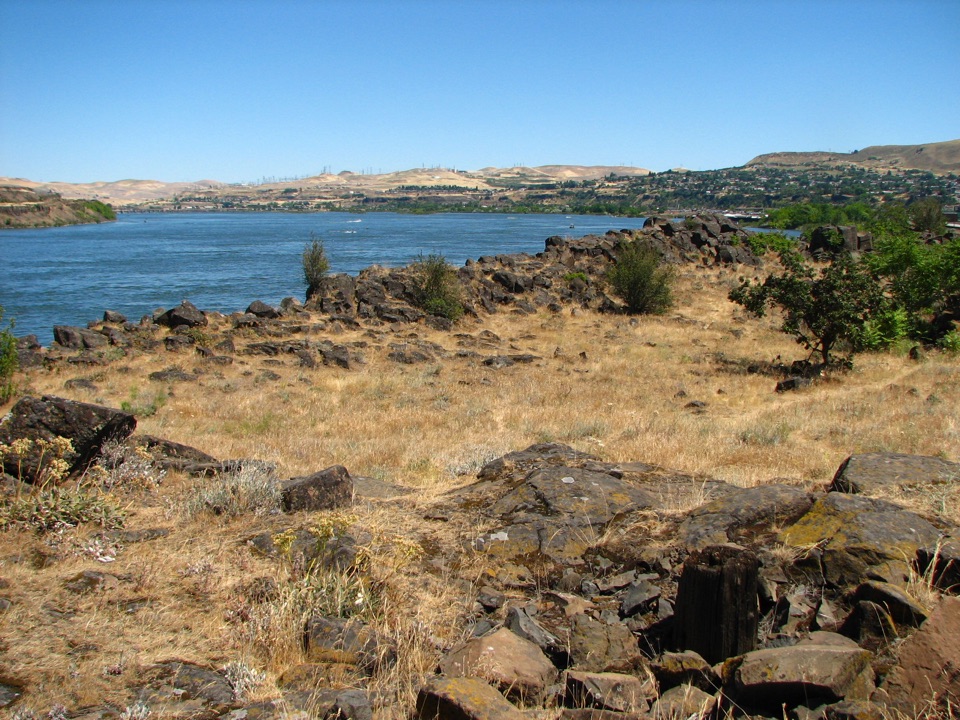 EasyThe Dalles Riverfront Trail8 mi · 3.5 hr · 14.7 mi awayA riverfront path to historic Fort Camp, coves, and a sandy beach.
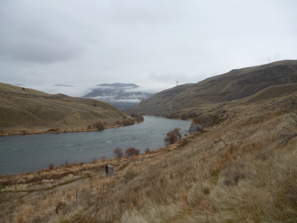 Sight · 0.6 mi awayDeschutes River State Recreation AreaCamp, hike, or fish where the Deschutes meets the Columbia.
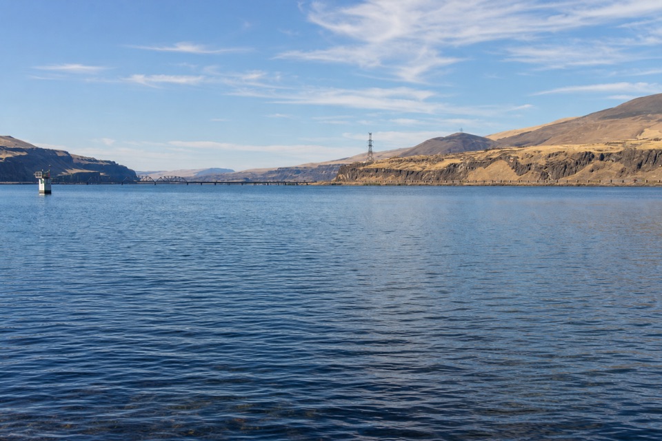 Sight · 2.9 mi awayCelilo ParkA riverfront pause beside a 10,000-year fishing tradition.
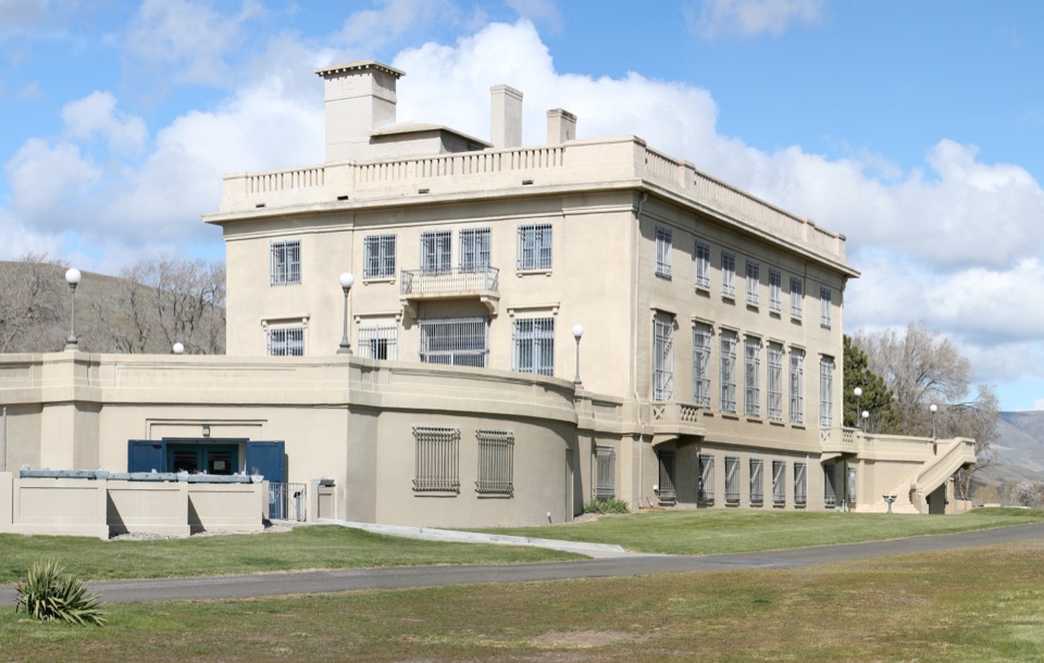 Sight · 3.9 mi awayMaryhill Museum of ArtA hilltop mansion with Rodin, chess sets, and Gorge views.
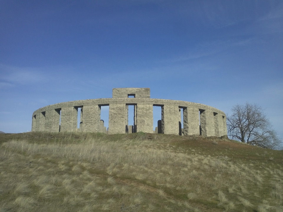 Sight · 6.6 mi awayMaryhill Stonehenge MemorialA full-scale Stonehenge replica with a local World War I story.
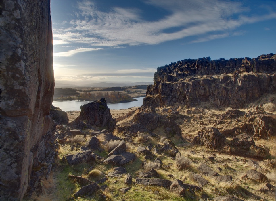 Sight · 9.2 mi awayHorsethief ButteA short hike to basalt columns and big Columbia River views.
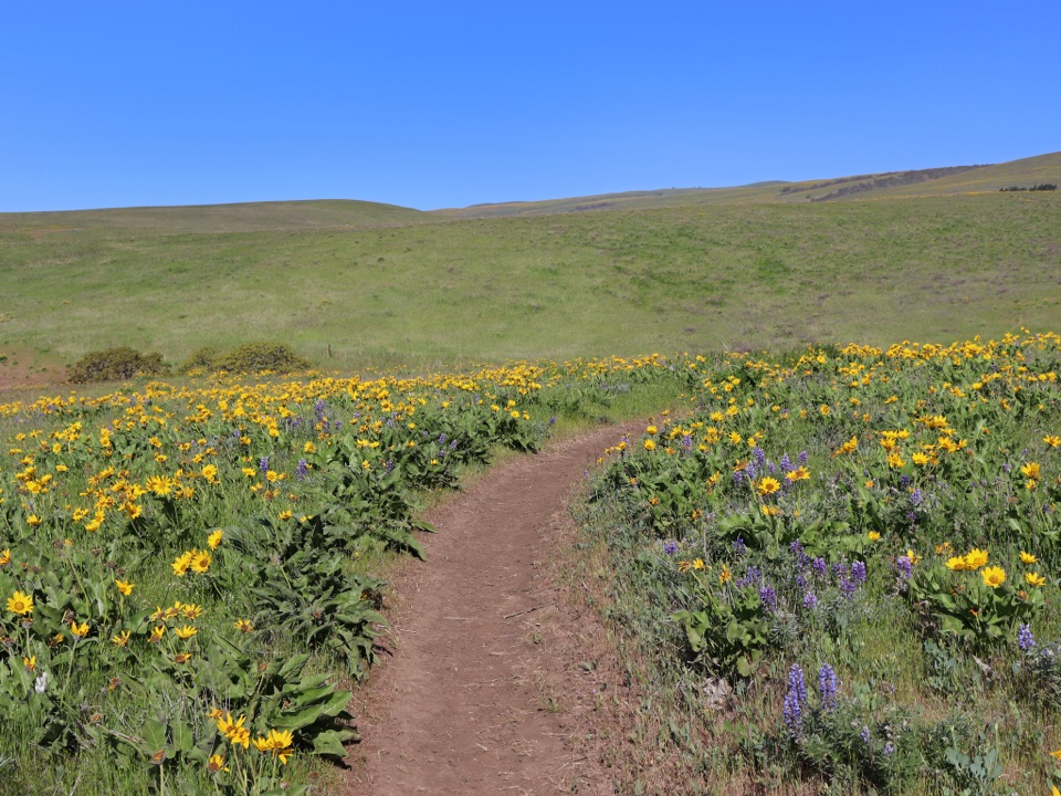 Sight · 9.5 mi awayDalles Mountain RanchA ranch walk through open hills with a spring wildflower payoff.
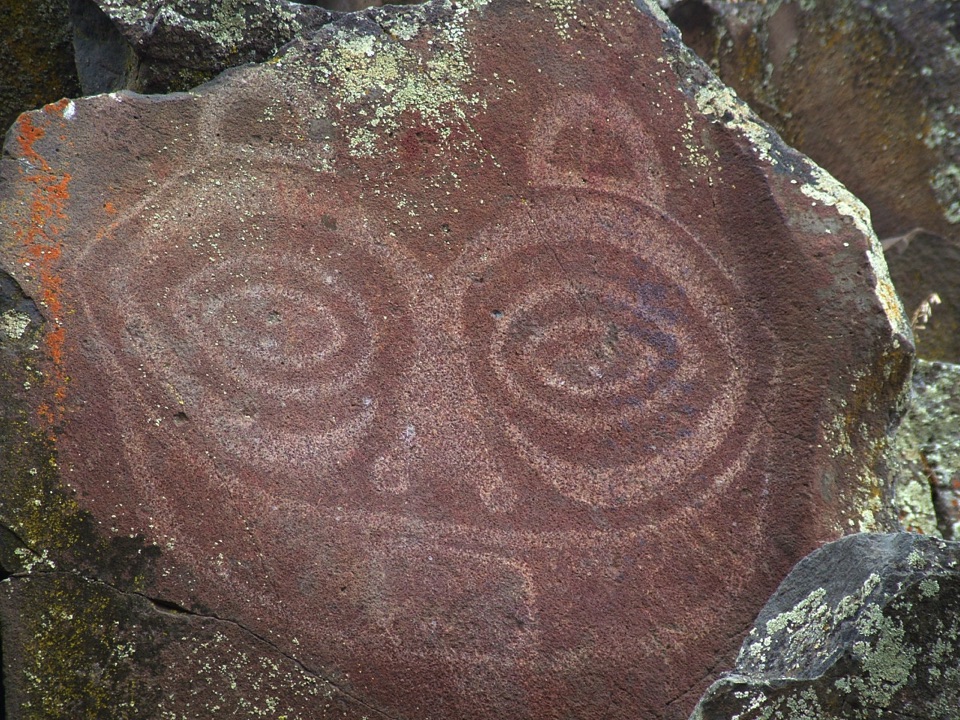 Sight · 9.6 mi awayTsagaglalal – She Who WatchesProtected rock art above the Columbia, seen on a guided tour.
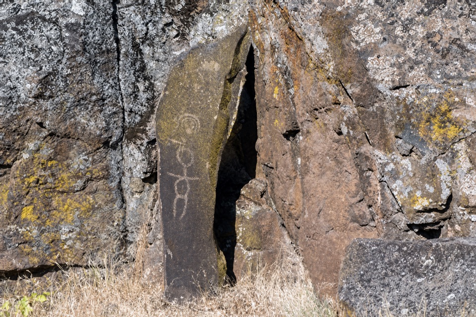 Sight · 9.6 mi awayTemani Pesh-Wa Petroglyph DisplayRock art moved before The Dalles Dam reservoir covered the originals.
Parkwolf’s Columbia River Gorge ranking
The audio tour guide for the drive, plus offline maps, trails, and wildlife heatmaps for when the signal drops.





