Parking
Use the John B. Yeon (Warrendale) Trailhead lot at the west end. The route finishes at the Cascade Locks HCRH Trailhead near the Bridge of the Gods; arrange a pickup or walk back for nearly 14 miles.
Columbia River Gorge National Scenic Area, OR · WA
Paved Gorge miles, old bridges, and Ruckel Creek's easy-to-miss falls.
Overview
Map & elevation
Plan your hike

The highest, rockiest slopes around here are a summer buffet for grizzly bears.
Columbia River Gorge Tour Guide
Parkwolf is a GPS audio tour guide for Columbia River Gorge National Scenic Area. As you drive, it chimes in with what’s ahead: hidden gems, upcoming stops, history, geology, and wildlife, right through your car’s speakers.
Recorded for this area
Elowah Falls from John B. Yeon“You're approaching John B. Yeon Trailhead for Elowah Falls, a 213-foot drop into a dark basalt amphitheater.”
Plays near this trailhead in the Parkwolf Columbia River Gorge Tour Guide.
More stories near here in the app
“Fantastic app with many points of information… It’s great to just turn on while you’re driving and it gives you an audio tour of the national Park. We love it!!!!”


Trail guide
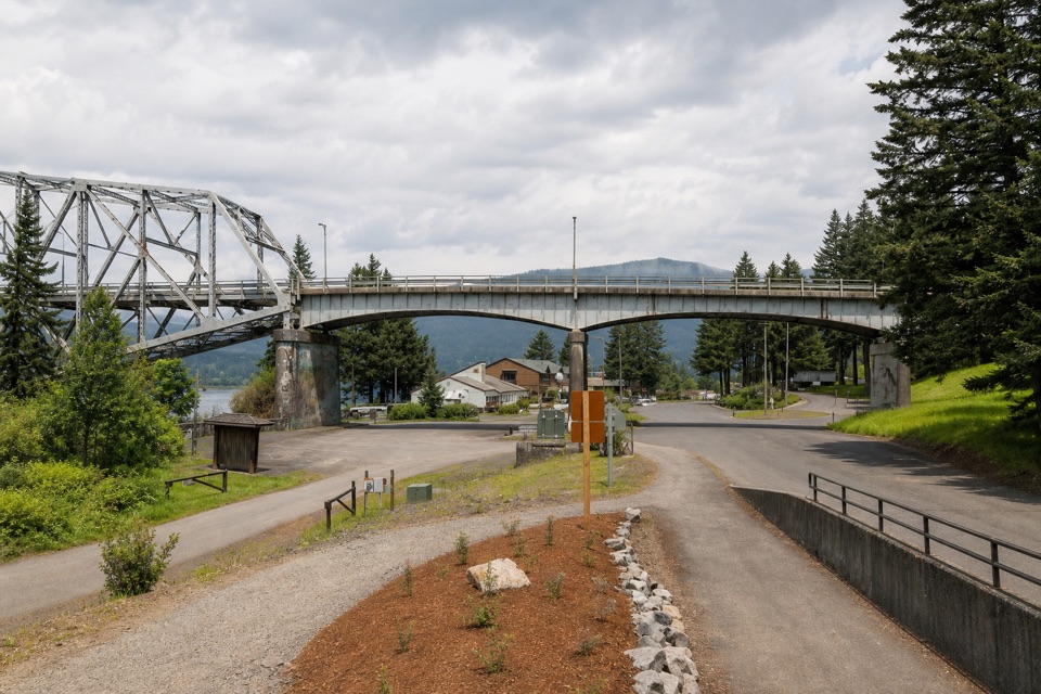
The Bonneville Segment of the Historic Columbia River Highway State Trail is a 7-mile paved point-to-point walk from John B. Yeon (Warrendale) Trailhead to Cascade Locks. It follows an old highway corridor beside the Columbia, finishing near the Bridge of the Gods. Allow about 3½ hours one way with short stops. The trail gains and loses about 500 feet over several low rises. It isn't a loop: arrange a ride at the far end or walk back for nearly 14 miles. This suits a long, smooth outing more than a quick leg-stretcher.
From Warrendale, the path crosses the McCord Creek bridge and follows forested cuts and river bluffs east. The present McCord bridge dates to 2012 and echoes the old highway's graceful bridge style; the nearby Elowah Falls hike is a separate trail. The route passes above Tooth Rock Tunnel, which carries I-84, with a close view of Bonneville Dam. A short underpass gives access to the dam visitor center for restrooms, coffee and snacks; it is a separate stop from the State Trail.
A 40-foot staircase just west of Eagle Creek interrupts the pavement; its grooved side helps cyclists roll a bike, but it is not step-free. Oregon State Parks describes the segment as universally accessible, while the Forest Service says the stairs may challenge accessibility, so don't assume the whole route is step-free. Eagle Creek Day-Use Area, about three miles before Cascade Locks, is a useful break for its pavilion and restroom; the Cascade Salmon Hatchery is beside the trail.
About two miles before Cascade Locks, cross Ruckel Creek on its restored 1915 highway bridge. Look over the short railing for the 46-foot falls below; they're easy to walk past, and this is the route's best quick photo stop. The path reaches town by the Bridge of the Gods access. Dogs are allowed on leashes no longer than six feet. There's no restroom at the west trailhead; Eagle Creek is the confirmed on-route restroom stop.
Wildlife
 267 sightingsBald EagleMost seen around 7 AMSighting map
 51 sightingsBlack BearMost seen around 7 PMSighting map
 136 sightingsAmerican PikaMost seen around 8 AMSighting map
 16 sightingsWapitiMost seen around 7 AMSighting map
 195 sightingsMule DeerMost seen around 7 AMSighting map
 74 sightingsChinook SalmonMost seen around 6 PMSighting map
Sighting maps show where each species has been reported across Columbia River Gorge. Wildlife moves, so no sighting is guaranteed.
Keep exploring
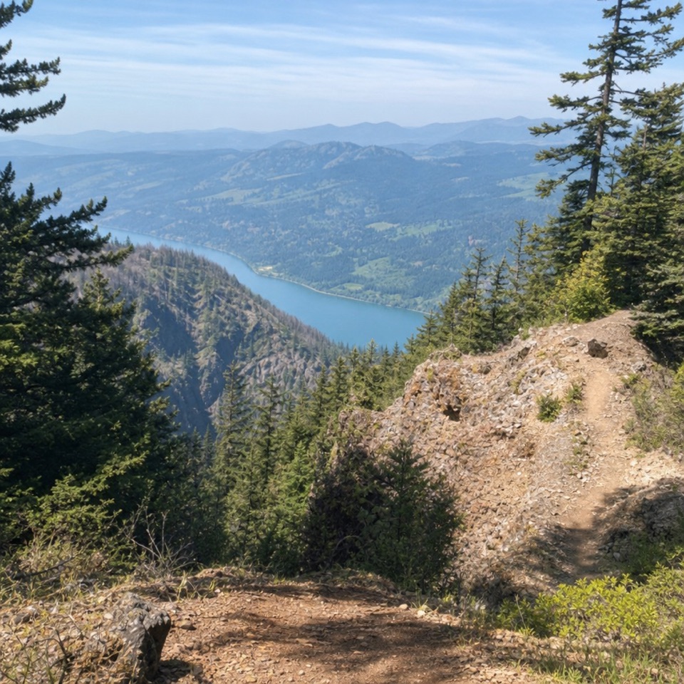 ChallengingNesmith Point Trail8.4 mi · 7.5 hr · At the trailheadA steep climb to an old lookout and wide Gorge views.
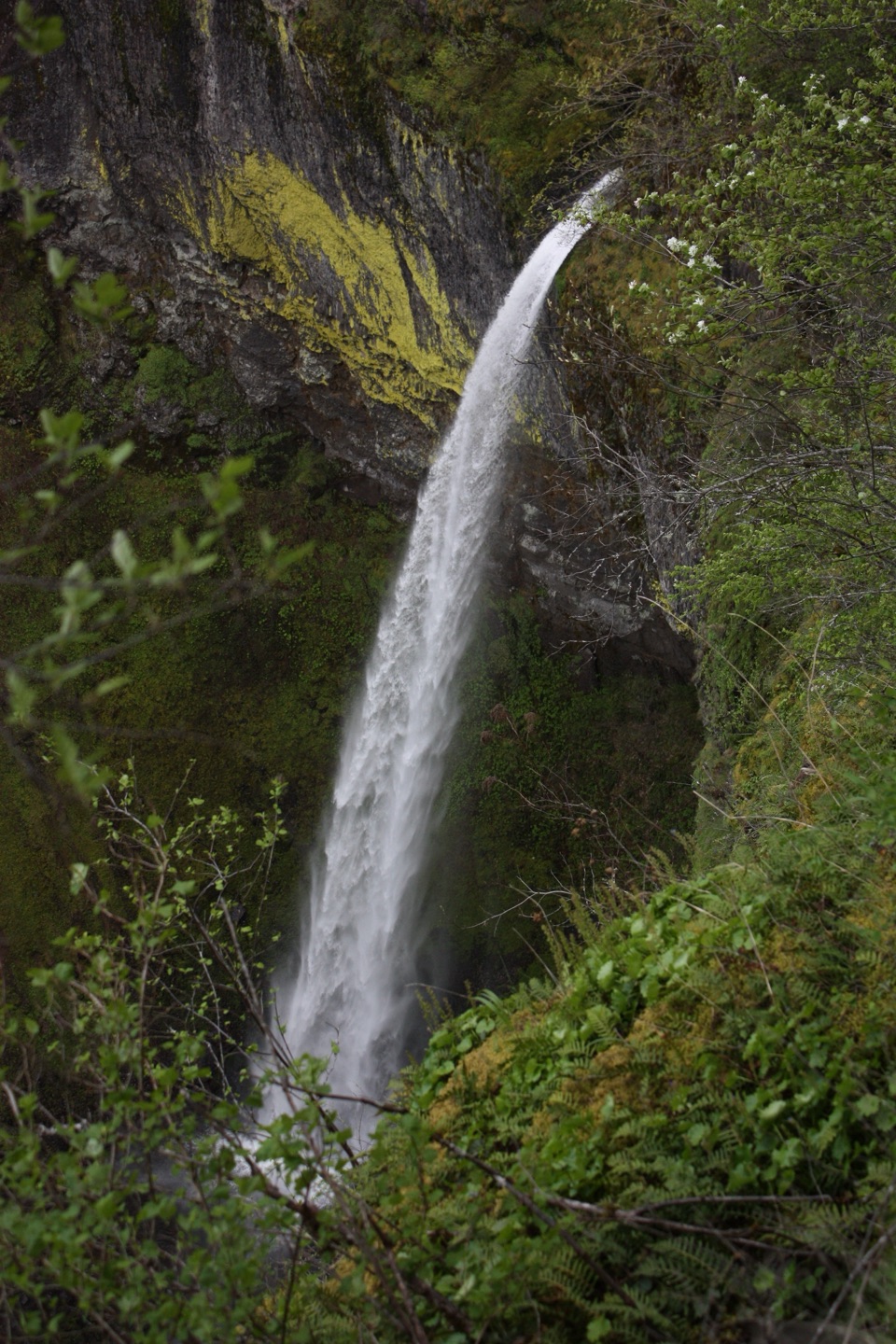 ModerateElowah Falls Trail1.5 mi · 1.5 hr · At the trailheadA short, steep walk ends below a 213-foot waterfall.
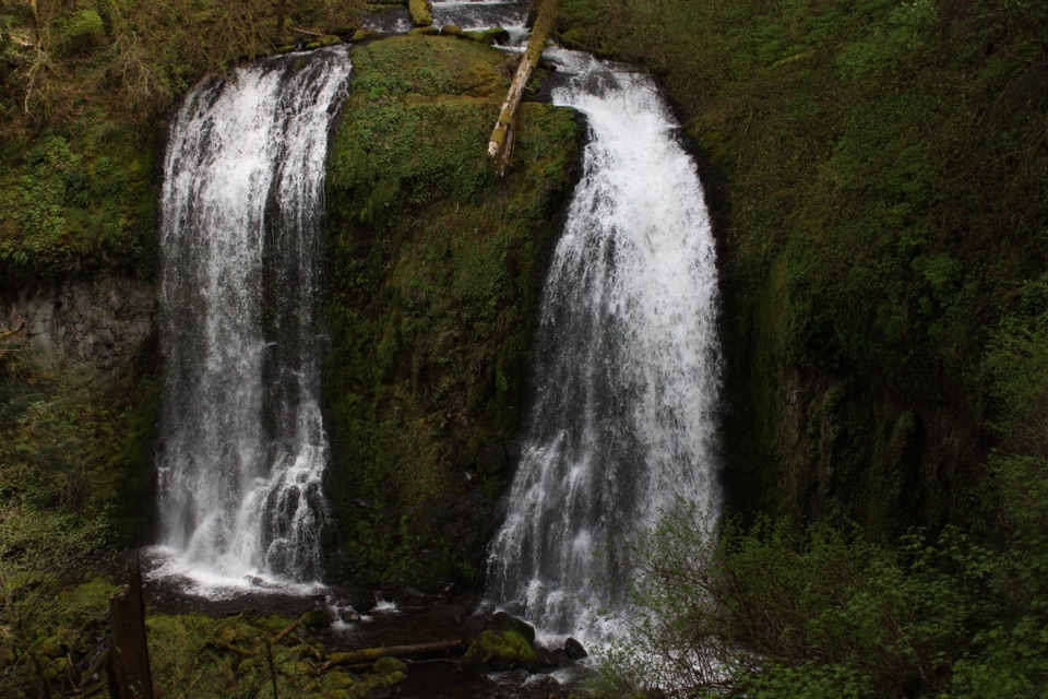 ModerateUpper McCord Creek Falls1.9 mi · 1.8 hr · At the trailheadTwo falls, open Gorge views, and a steep cliffside climb.
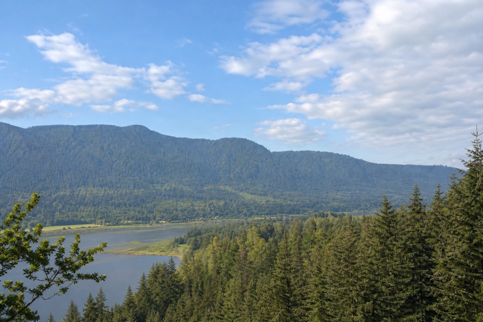 EasyRiver to Rock Trail1.5 mi · 54 min · 1.1 mi awayA short forest connector with a Beacon Rock view at Riddell Lake
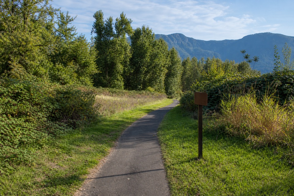 EasyDoetsch Walking Path1.2 mi · 36 min · 1.2 mi awayA nearly flat meadow loop with Gorge views and ranch history.
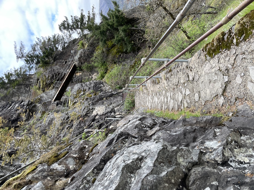 ModerateBeacon Rock Trail1.8 mi · 1.5 hr · 1.4 mi awayFifty switchbacks turn a short climb into a Gorge overlook.
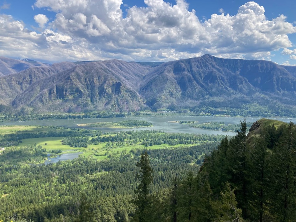 ChallengingHamilton Mountain Summit Loop7.9 mi · 5 hr · 1.6 mi awayWaterfalls first, then a steep ridge climb and a big Gorge view.
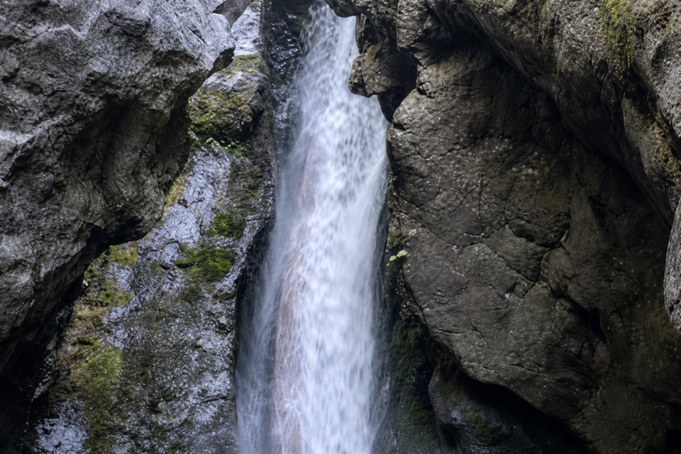 ModerateHardy Falls and Rodney Falls Trail2.5 mi · 2 hr · 1.6 mi awayThree falls, two viewpoints, and no need to climb the summit.Sight · 0.5 mi awayElowah FallsA 213-foot plunge framed by ancient lava and a green ravine.
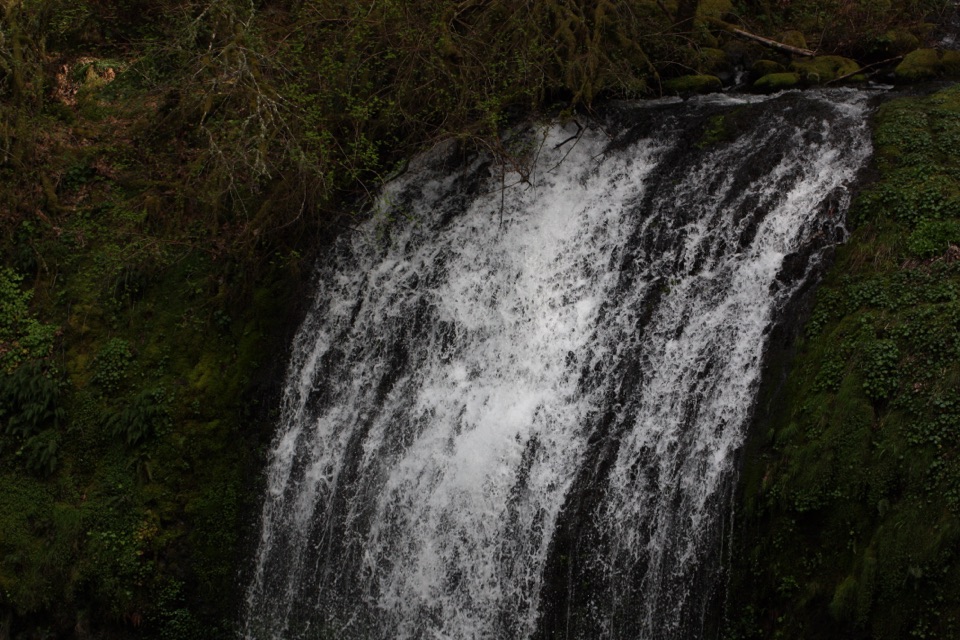 Sight · 0.5 mi awayUpper McCord Creek FallsA narrow cliffside trail climbs to a twin cascade above Elowah.
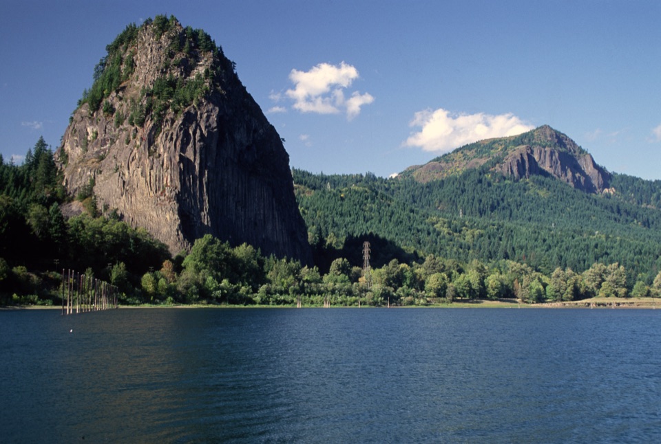 Sight · 1.4 mi awayBeacon RockA basalt landmark with a switchback trail above the Columbia.
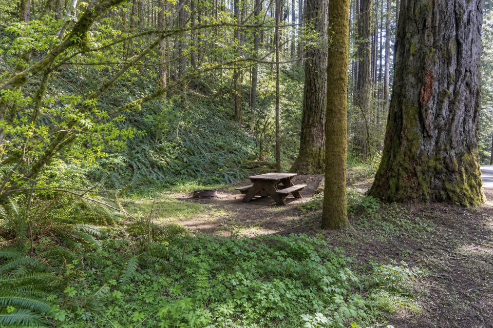 Campground · 1.8 mi awayBeacon Rock State Park CampgroundOld CCC tent loop with Hamilton Mountain trails from your site
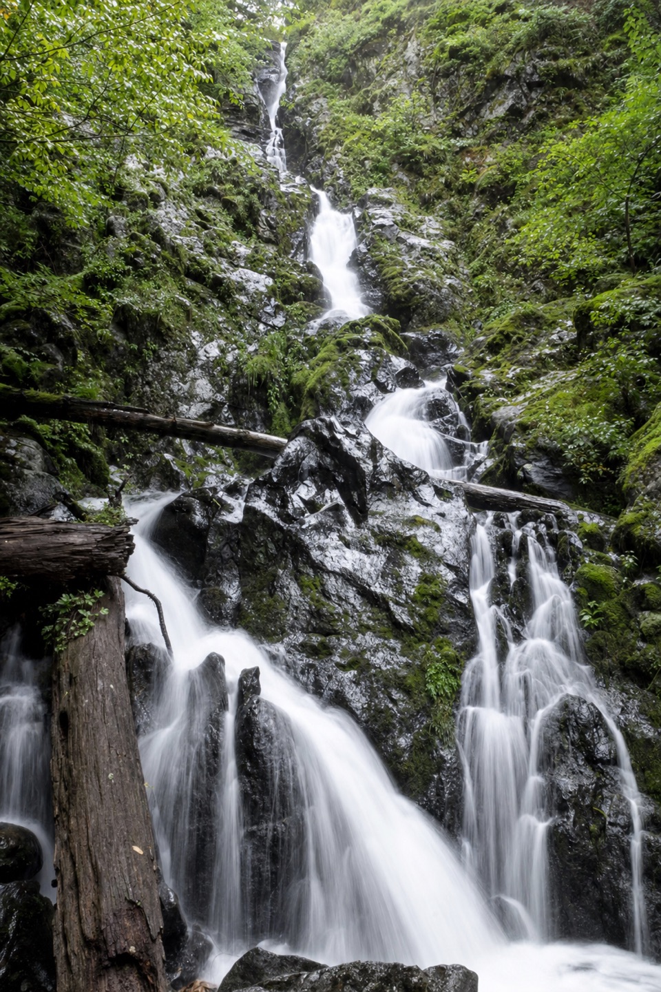 Sight · 2.1 mi awayHardy FallsA 90-foot cascade hides just off the Hamilton Mountain trail.
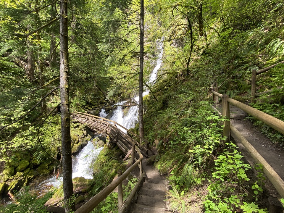 Sight · 2.2 mi awayRodney Falls & Pool of the WindsA waterfall pours through a narrow rock chamber into a spray-filled pool.
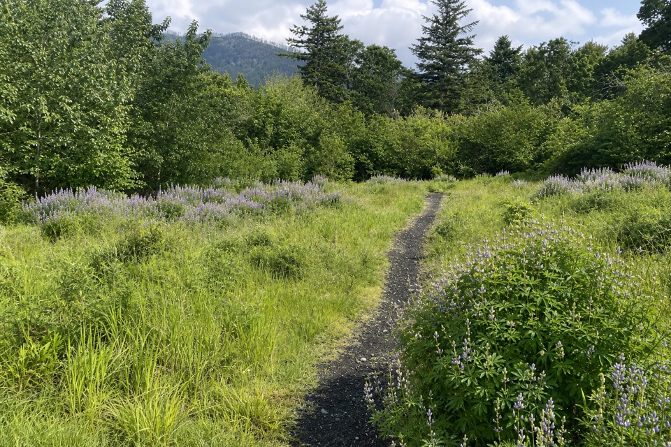 Picnic area · 2.3 mi awaySams Walker Day Use AreaFlat loops link former fields, oak woods and river overlooks.
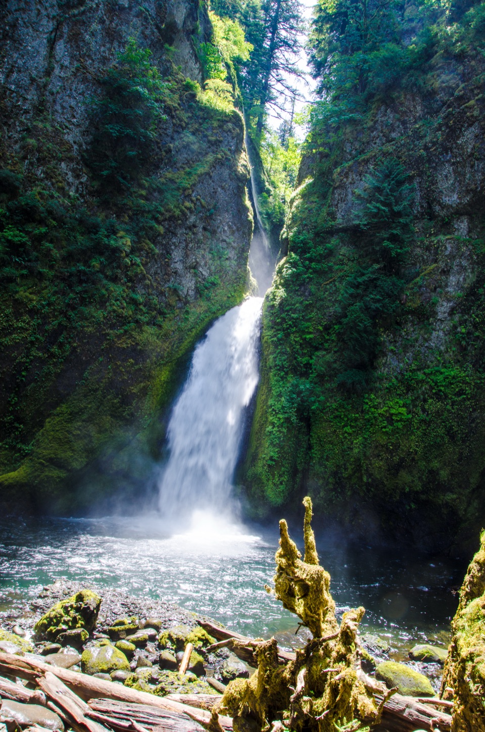 Sight · 2.6 mi awayWahclella FallsA short canyon walk ends at a two-tiered plunge pool.
Parkwolf’s Columbia River Gorge ranking

The audio tour guide for the drive, plus offline maps, trails, and wildlife heatmaps for when the signal drops.





