Parking
Lightning Spring Trailhead is on West Rim Drive about 2.5 miles from Rim Village. Park in the pullout across from Lightning Spring Picnic Area.

Crater Lake National Park, OR
Rim views and remote PCT miles make this a real loop.
Overview
Map & elevation
Plan your hike

The highest, rockiest slopes around here are a summer buffet for grizzly bears.
Crater Lake Tour Guide
Parkwolf is a GPS audio tour guide for Crater Lake National Park. As you drive, it chimes in with what’s ahead: hidden gems, upcoming stops, history, geology, and wildlife, right through your car’s speakers.
See the Crater Lake audio tourRecorded for this trailhead
Lightning Spring Picnic Area“You're coming up on Lightning Spring Picnic Area, a meal-break option on West Rim Drive. Walk up the rise beyond the picnic area for the lake view, keeping well back from the unprotected, crumbling rim.”
Plays as you drive up to this trailhead in the Parkwolf Crater Lake Tour Guide.
More stories near here in the app
“Fantastic app with many points of information… It’s great to just turn on while you’re driving and it gives you an audio tour of the national Park. We love it!!!!”


Trail guide
Small PCT Loop is the park-listed 24.8-mile round-trip circuit that pairs the West Rim Trail with the Pacific Crest Trail. Start at Lightning Spring Trailhead, follow the caldera rim north to Grouse Hill, then turn south on the PCT past Red Cone and Bybee Creek. Finish by climbing the 4.2-mile Lightning Spring connector back to the road. Expect about 12 hours on foot in all; most hikers will be happier spreading it over two days than pushing through in one.
There is a real mileage disagreement: the connected trail line we can verify is about 22.9 miles, while the park's published route list says 24.8 and gives no plotted route to explain the gap. Plan for the longer figure and confirm the intended circuit before setting out.
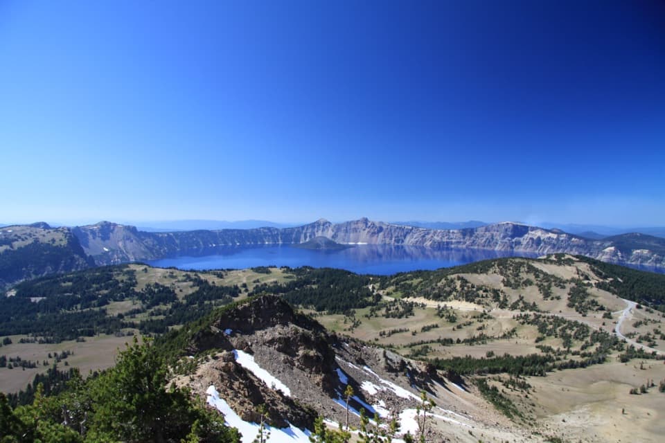
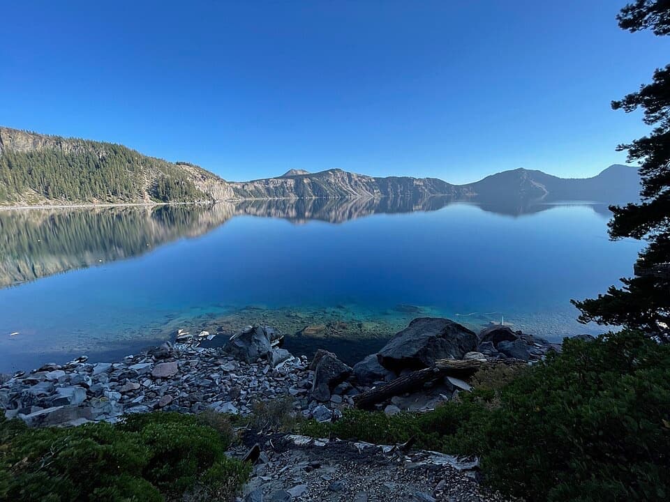
The first stretch stays high beside the caldera. Views open across Crater Lake and Wizard Island, with pumice fields, wind-shaped whitebark pines and patches of forest along the way. The rim section eventually turns north toward Grouse Hill, where it rejoins the PCT. When the lake opens up, frame a little of the rim in front of Wizard Island; that foreground gives the view its scale.
From Grouse Hill, the loop heads southwest through open country around Red Cone, then continues past Bybee Creek and back toward Lightning Spring. The stretch north of Red Cone is exposed and burned. There is no trail to Red Cone's summit, so stay on the route instead of adding an unmarked climb. The designated camps along this circuit are primitive backcountry sites, not developed campgrounds.
Overnight camping requires a backcountry permit year-round; day hiking does not, though park entry still requires a pass. Treat the loop as self-supported: the listed sites are flat tent areas and no food service is identified along the route. Pets are not allowed on this circuit because the park's pet exception covers the official PCT, not the lake-rim alternate.
Wildlife
 16 sightingsBlack BearMost seen around 8 PMSighting map
 178 sightingsMule DeerMost seen around 7 PMSighting map
 26 sightingsCommon RavenMost seen around 9 AMSighting map
 33 sightingsTurkey VultureMost seen around 1 PMSighting map
 47 sightingsRed-tailed HawkMost seen around 11 AMSighting map
 71 sightingsCascades FrogMost seen around 5 PMSighting map
Sighting maps show where each species has been reported across Crater Lake. Wildlife moves, so no sighting is guaranteed.
Keep exploring
 ModerateLightning Spring Trail8.4 mi · 4.5 hr · At the trailheadA spring breaks up the long descent from the rim.
 ModerateWatchman Peak Trail1.6 mi · 1 hr · 0.7 mi awayA short climb to a 1930s lookout above Wizard Island
 ModerateWizard Island Summit Trail2.4 mi · 1.5 hr · 1 mi awayA steep volcanic climb to a crater above the lake.
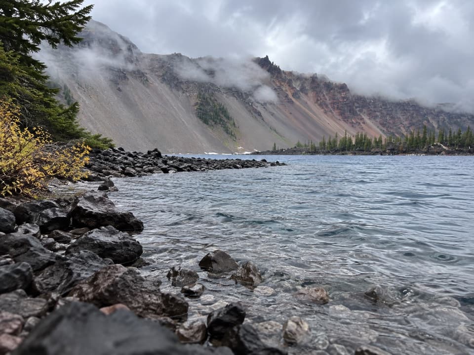 EasyFumarole Bay Trail1.5 mi · 1 hr · 1 mi awayA rocky Wizard Island shore walk to a clear, shallow bay.
 ChallengingRim Trail16.2 mi · 9.5 hr · 1 mi awayWizard Island shifts position as you follow the western rim.
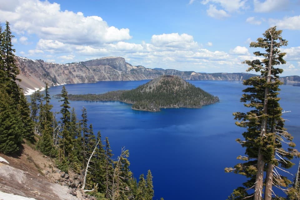 EasyDiscovery Point Trail2 mi · 1 hr · 1.9 mi awayWizard Island keeps appearing through the wind-shaped rim forest.
 ModerateDutton/Lightning Loop12.9 mi · 7 hr · 1.9 mi awayA long forest loop earns its lake view at the west rim.
 ModerateDutton Creek Trail4.6 mi · 3 hr · 1.9 mi awayA steep forest descent to Dutton Creek and the Pacific Crest Trail.Picnic area · 0.1 mi awayLightning Spring Picnic AreaWalk up from the picnic area for a Wizard Island view.
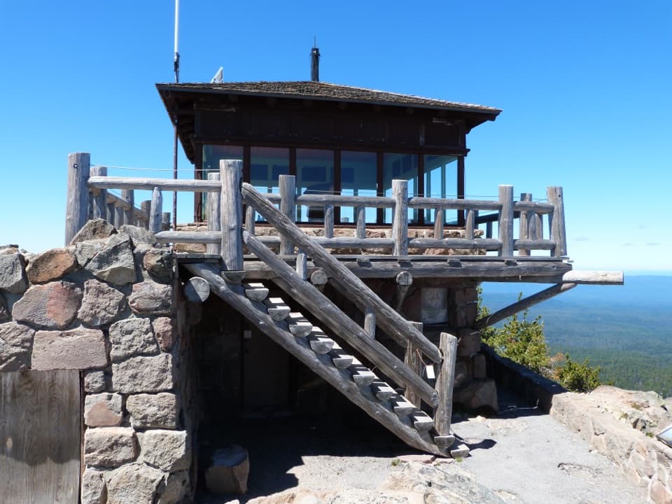 Sight · 0.6 mi awayWatchman Observation StationA steep summit climb with a 360-degree caldera panorama.
 Sight · 0.8 mi awayWatchman OverlookA direct Wizard Island view without the summit climb.Sight · 1 mi awayDiscovery PointA lake view with Wizard Island and the Lost Cabin story.
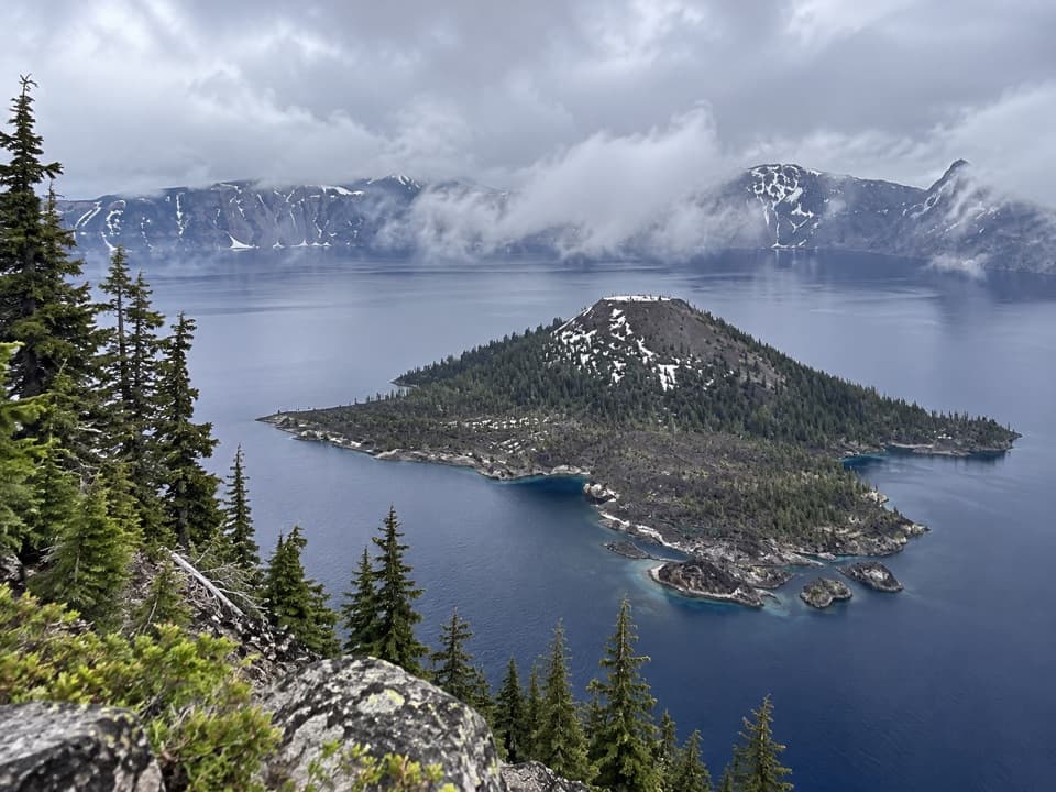 Sight · 1.1 mi awayWizard IslandA cinder cone with a crater, rising from the caldera lake.
 Sight · 1.4 mi awayDiamond Lake OverlookA northward mountain view worth adding to the West Rim drive.
 Food · 2 mi awayRim Village Café & GiftsA quick bite, lake-view patio, and souvenirs in one stop.
 Scenic pullout · 2 mi awayDevil's Backbone PulloutA jagged lava dike cuts from the lake to the rim.
Parkwolf’s Crater Lake ranking

The audio tour guide for the drive, plus offline maps, trails, and wildlife heatmaps for when the signal drops.