Parking
A pullout on West Rim Drive about 2.5 miles north of Rim Village is across from Lightning Spring Picnic Area. Parking capacity and fees were not found.

Crater Lake National Park, OR
A spring breaks up the long descent from the rim.
Overview
Map & elevation
Plan your hike

The highest, rockiest slopes around here are a summer buffet for grizzly bears.
Crater Lake Tour Guide
Parkwolf is a GPS audio tour guide for Crater Lake National Park. As you drive, it chimes in with what’s ahead: hidden gems, upcoming stops, history, geology, and wildlife, right through your car’s speakers.
See the Crater Lake audio tourRecorded for this trailhead
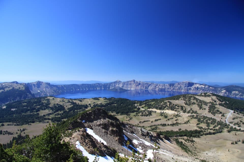
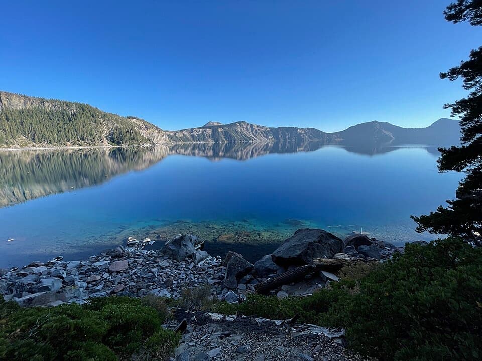
Lightning Spring Picnic Area“You're coming up on Lightning Spring Picnic Area, a meal-break option on West Rim Drive. Walk up the rise beyond the picnic area for the lake view, keeping well back from the unprotected, crumbling rim.”
Plays as you drive up to this trailhead in the Parkwolf Crater Lake Tour Guide.
More stories near here in the app
“Fantastic app with many points of information… It’s great to just turn on while you’re driving and it gives you an audio tour of the national Park. We love it!!!!”


Trail guide
Lightning Spring Trail is an out-and-back from West Rim Drive down the western slope of Mount Mazama to the Pacific Crest Trail. The full route is 8.4 miles round trip, with about 1,298 feet of climbing; allow roughly 3½ to 5 hours. The trail descends for 4.2 miles to the junction, so the return is a long, steady climb. If you want a shorter walk, Lightning Spring is about 0.8 mile down, making a roughly 1.6-mile round trip.
The upper mile and a half skirts open pumice fields and the edge of mountain hemlock and Shasta red fir forest. Lower down, lodgepole pine takes over, with occasional meadows and burned patches. The tread switchbacks steadily downhill. The scenery changes as you descend, but there is no big summit view waiting at the bottom.
At about 0.8 mile, Lightning Spring and a creek emerge from an otherwise dry slope. The trail bends beneath the steep Watchman lava flow, follows the creek for about half a mile, then crosses it and heads west. The spring is fed by melting snow, not by a leak from Crater Lake. Treat or filter water before drinking; its potability is not established.
Beyond the spring, the trail continues downhill through forest toward Bybee Creek. Switchbacks reach the creek's north bank, and the final quarter mile follows it to Bybee Camp and the Pacific Crest Trail junction. The junction is useful as a turnaround, but it is not a standout viewpoint. Turn around there and retrace the same route.
This line began as a fire-control road built in the 1930s for park crews working a lightning-prone slope. It has since become a hiking trail. The route crosses the pumice left by Mount Mazama's eruption and passes beneath the Watchman flow, an andesite ridge on the volcano's western flank.
Wildlife
 16 sightingsBlack BearMost seen around 8 PMSighting map
 178 sightingsMule DeerMost seen around 7 PMSighting map
 26 sightingsCommon RavenMost seen around 9 AMSighting map
 33 sightingsTurkey VultureMost seen around 1 PMSighting map
 47 sightingsRed-tailed HawkMost seen around 11 AMSighting map
 71 sightingsCascades FrogMost seen around 5 PMSighting map
Sighting maps show where each species has been reported across Crater Lake. Wildlife moves, so no sighting is guaranteed.
Keep exploring
 ChallengingSmall PCT Loop24.8 mi · 12 hr · At the trailheadRim views and remote PCT miles make this a real loop.
 ModerateWatchman Peak Trail1.6 mi · 1 hr · 0.7 mi awayA short climb to a 1930s lookout above Wizard Island
 ModerateWizard Island Summit Trail2.4 mi · 1.5 hr · 1 mi awayA steep volcanic climb to a crater above the lake.
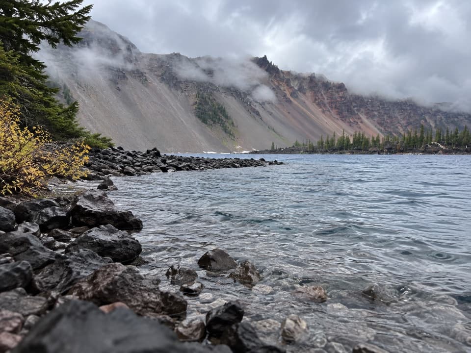 EasyFumarole Bay Trail1.5 mi · 1 hr · 1 mi awayA rocky Wizard Island shore walk to a clear, shallow bay.
 ChallengingRim Trail16.2 mi · 9.5 hr · 1 mi awayWizard Island shifts position as you follow the western rim.
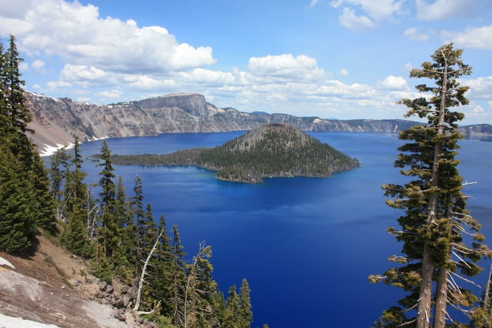 EasyDiscovery Point Trail2 mi · 1 hr · 1.9 mi awayWizard Island keeps appearing through the wind-shaped rim forest.
 ModerateDutton/Lightning Loop12.9 mi · 7 hr · 1.9 mi awayA long forest loop earns its lake view at the west rim.
 ModerateDutton Creek Trail4.6 mi · 3 hr · 2 mi awayA steep forest descent to Dutton Creek and the Pacific Crest Trail.Picnic area · 0.1 mi awayLightning Spring Picnic AreaWalk up from the picnic area for a Wizard Island view.
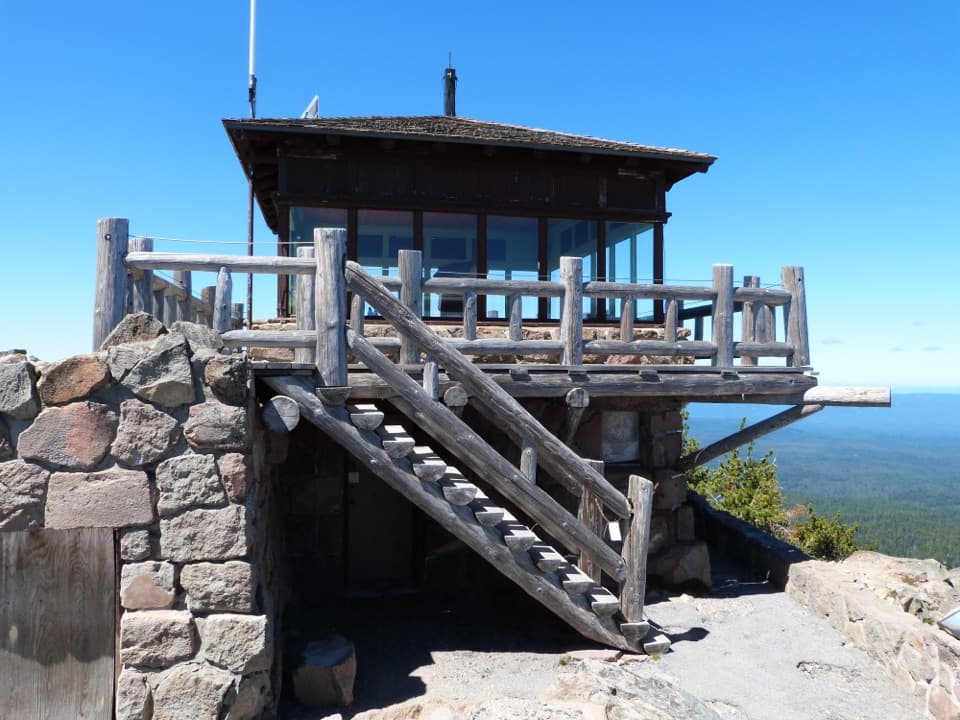 Sight · 0.6 mi awayWatchman Observation StationA steep summit climb with a 360-degree caldera panorama.
 Sight · 0.8 mi awayWatchman OverlookA direct Wizard Island view without the summit climb.Sight · 1.1 mi awayDiscovery PointA lake view with Wizard Island and the Lost Cabin story.
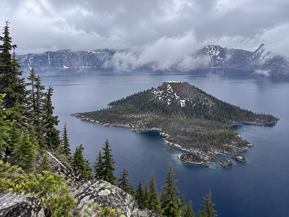 Sight · 1.1 mi awayWizard IslandA cinder cone with a crater, rising from the caldera lake.
 Sight · 1.4 mi awayDiamond Lake OverlookA northward mountain view worth adding to the West Rim drive.
 Scenic pullout · 2 mi awayDevil's Backbone PulloutA jagged lava dike cuts from the lake to the rim.
 Food · 2 mi awayRim Village Café & GiftsA quick bite, lake-view patio, and souvenirs in one stop.
Parkwolf’s Crater Lake ranking

The audio tour guide for the drive, plus offline maps, trails, and wildlife heatmaps for when the signal drops.