
Place · 0.2 mi away
Easy
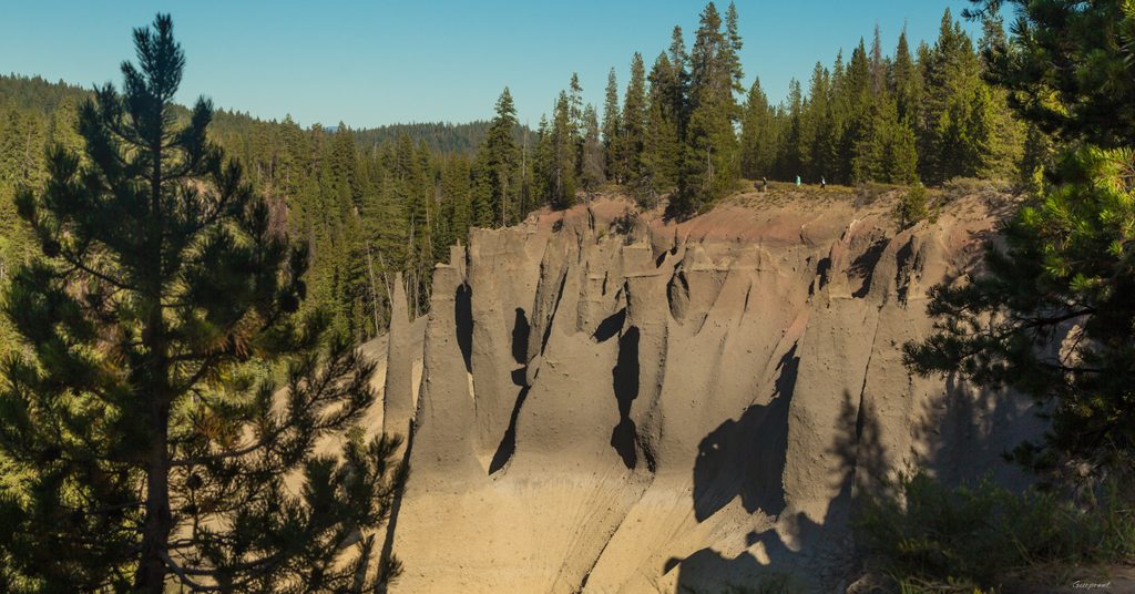
This is the park’s quick-hit geology walk: a short, easy out-and-back along the rim of Wheeler Creek that spotlights a dense cluster of tall, gray-brown volcanic spires. Expect minimal climbing and maximum payoff. Plan on roughly 1.2 miles total (round trip), with only about 60–100 feet of gentle up-and-down.
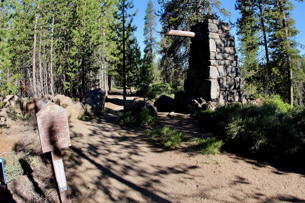
From the parking area at the end of Pinnacles Road, the path is wide and gravel as it traces the canyon edge with frequent viewpoints straight across to the pinnacles. Benches appear at intervals—useful for lingering with a camera or just soaking it in. Keep a sharp eye on little ones near the rim; some sections are unprotected. As you continue, the tread narrows and enters a more forested stretch near the former east entrance of the park; views drop off here, but the sense of history picks up.
These needle-like spires formed about 7,700 years ago during the eruption and collapse of Mount Mazama. Pyroclastic flows—superheated ash, pumice, and gas—filled the creek valleys. As those deposits cooled, gases vented upward, cementing the surrounding ash into hard chimneys. Over time, Wheeler Creek carved the canyon and exposed these fossilized gas vents. On clear days, you may also catch Mount Scott peeking to the northeast.
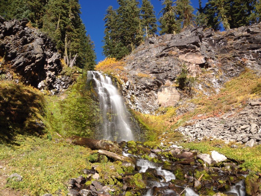
Yes—especially if you’re into volcanic landscapes or you want a big visual reward without the work. It’s not a rim-of-the-lake panorama, and it’s brief, but the pinnacles are unlike anything else in the park. If you’re chasing waterfalls or want a bit more walking, pair this with nearby Plaikni Falls for a well-rounded half day.
Access is typically mid-summer through fall; the road and trail are often snow-covered outside that window and aren’t maintained in winter. Summer can be busy thanks to the trail’s ease, so go early or late for calmer views and softer light for photography.
Bring bug spray in summer. Tripod users: the benches make steady platforms. The first section is broad and relatively smooth—friendlier to strollers or mobility aids—though the full path is unpaved and not fully accessible. Keep kids and pets close and stay well back from the rim.
Park at the large lot at the end of Pinnacles Road; trail starts at the overlook.
Steep, unprotected canyon edges; supervise children and leashed pets. Mosquitoes common in summer. Road and trail are typically snow-covered outside mid-summer to fall.
Place · 0.2 mi away
Place · 2.6 mi away
Place · 4.6 mi away
Place · 4.8 mi away
Moderate · 0 mi away
Easy · 4.5 mi away
Moderate · 5.1 mi away
Moderate · 5.6 mi away

Parkwolf Tour Guide
