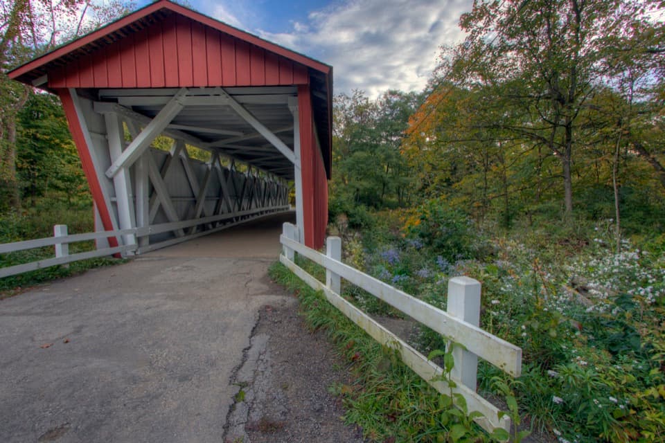
Everett Covered Bridge in Cuyahoga Valley National Park

#6 of 58 sights in Cuyahoga Valley

Sight · Cuyahoga Valley National Park

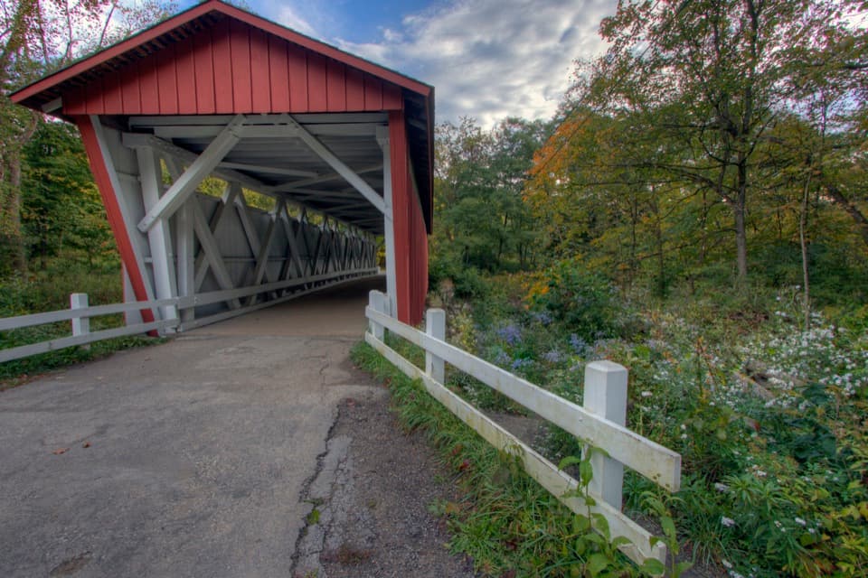
Everett Covered Bridge

Summit County's last covered bridge, rebuilt after a devastating flood.

Photo: National Park Service
Type
Sight
Nearest trail
Right here
Audio stories
14 nearby
  • Parking
  • Restrooms
  • Picnic tables
  • Exhibit

Hear the audio tour

Everett Covered Bridge

Overview

About Everett Covered Bridge

Why stop

  • A distinctive covered crossing with a useful local-history exhibit.

Heads up

  • The bridge is a 1986 reconstruction, not the original structure.

Map

Where it is

Loading the Cuyahoga Valley map
Full map
SightEverett Covered Bridge41.20407, -81.58351
Keep this map with you offline in the Parkwolf app

Plan your stop

Before you go

5 active Cuyahoga Valley alerts

  • ClosureTowpath Trail closed: Boston to Lock 29The Towpath Trail is closed from Boston Trailhead to Lock 29 in Peninsula during the August 24–November 20, 2026 work period.Official details
  • ClosureStanford-area closures for pavement removalA contractor is removing old pavement, closing former Stanford Road between Stanford Trailhead and the Brandywine Gorge Loop, the north half of Stanford Trailhead parking lot, and a section of the…Official details

See all 5 alerts
A park ranger sits on a dash-mounted phone, talking, as Parkwolf’s Tour Guide plays “Army Cutworm Moths: A Grizzly Bear Buffet” on Grand Loop Road below Dunraven Pass in Yellowstone
Parkwolf Tour GuideThe highest, rockiest slopes around here are a summer buffet for grizzly bears.

Cuyahoga Valley Tour Guide

Your drive to Everett Covered Bridge, narrated.

Parkwolf is a GPS audio tour guide for Cuyahoga Valley National Park. As you drive, it chimes in with what’s ahead: hidden gems, upcoming stops, history, geology, and wildlife, right through your car’s speakers.

See the Cuyahoga Valley audio tour

Recorded for this place

Everett Covered Bridge
0:00 / 0:32
“You're heading toward Everett Covered Bridge, a red wooden crossing over Furnace Run. Make this a short stop if you want a little history without a long hike; the bridge is a short walk from the parking area.”

Plays as you drive up to Everett Covered Bridge in the Parkwolf Cuyahoga Valley Tour Guide.

More stories near here in the app

  • Ants Carry the Next Trilliums
  • Szalay’s Farm Market and Hunt House
  • Indigo Lake
  • Hale Farm & Village
  • 97 audio storiesacross Cuyahoga Valley’s roads, triggered by GPS as you drive
  • Wildlife heatmapsfor Bald Eagle, River Otter, Coyote, and 13 more
  • Works offlinemaps, 63 trails, 88 places, and audio download before you lose signal
  • CarPlay readysimple controls built for the drive
★★★★★
“Fantastic app with many points of information… It’s great to just turn on while you’re driving and it gives you an audio tour of the national Park. We love it!!!!”
JMJamesApp Store review
Download Parkwolf on the App StoreGet Parkwolf on Google Play

4.7 from 8,600+ ratings

Guide

More about Everett Covered Bridge

Why make the stopEverett Covered Bridge is a red wooden pedestrian bridge over Furnace Run near the former…

Everett Covered Bridge is a red wooden pedestrian bridge over Furnace Run near the former village of Everett in Peninsula. It is Summit County's last surviving covered bridge. The crossing is a short stop; stay for the streamside setting and the wayside exhibit about the bridges that once carried Ohio's roads. If you want a longer outing, trails start nearby, but the bridge itself is the reason to come.

What is herePark at 2370 Everett Road and walk to the crossing.

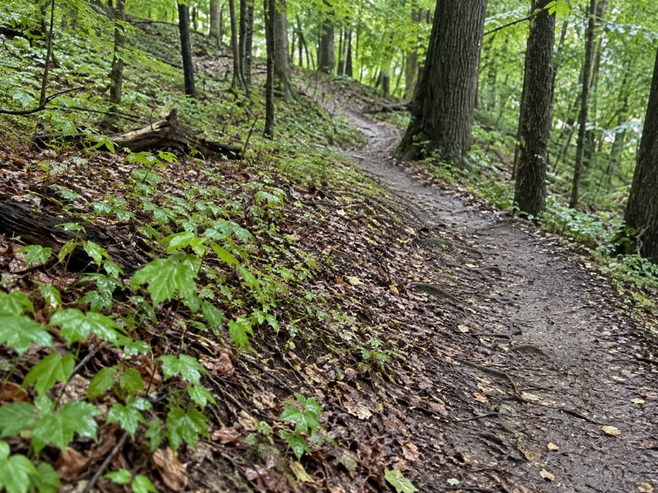
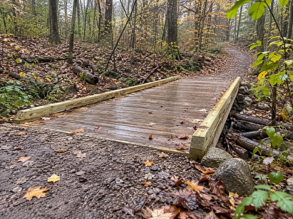
Park at 2370 Everett Road and walk to the crossing. The National Park Service lists parking, a picnic table, an interpretive exhibit and a vault or composting restroom. It also lists the site as wheelchair accessible, though its page gives no route measurements. The nearby Furnace Run Trail is listed at 1.9 miles and is known for spring wildflowers; the longer Riding Run Trail is 5.6 miles and open to walkers and horses.

The bridge was rebuiltThe bridge you see is a historically accurate reconstruction completed in 1986, after a 1975…

The bridge you see is a historically accurate reconstruction completed in 1986, after a 1975 flood destroyed its predecessor. It is not the original 19th-century structure. The original bridge's construction year is unknown; its truss followed a pattern patented by Ohio builder Robert W. Smith in 1867, and the evidence points to the 1870s. Ohio once had more than 2,000 covered bridges. This one is the last surviving example in Summit County.

A story from a winter crossingA local account connects the bridge's beginnings to a tragedy in 1877.

A local account connects the bridge's beginnings to a tragedy in 1877. Farmer John Gilson and his wife tried to cross the winter-swollen run after ice blocked their usual ford. She was rescued, but Gilson drowned; his body was found four days later. The park says the connection between that event and the bridge's construction is uncertain, so treat it as a story tied to the place, not a proven origin.

Why Everett needed a bridgeEverett began as a valley settlement in the 1820s, with a blacksmith, church, schoolhouse,…

Everett began as a valley settlement in the 1820s, with a blacksmith, church, schoolhouse, general store, saloon, dance hall and railway station. Farmers needed roads to reach the Ohio & Erie Canal and move their goods. Covered bridges were built to connect communities like this; iron bridges began displacing them in the 1880s. The exhibit helps put this little crossing into that larger story.

Put the stream in your photoFurnace Run's rocks and water make a stronger foreground than a straight-on shot of the bridge.

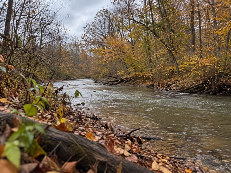
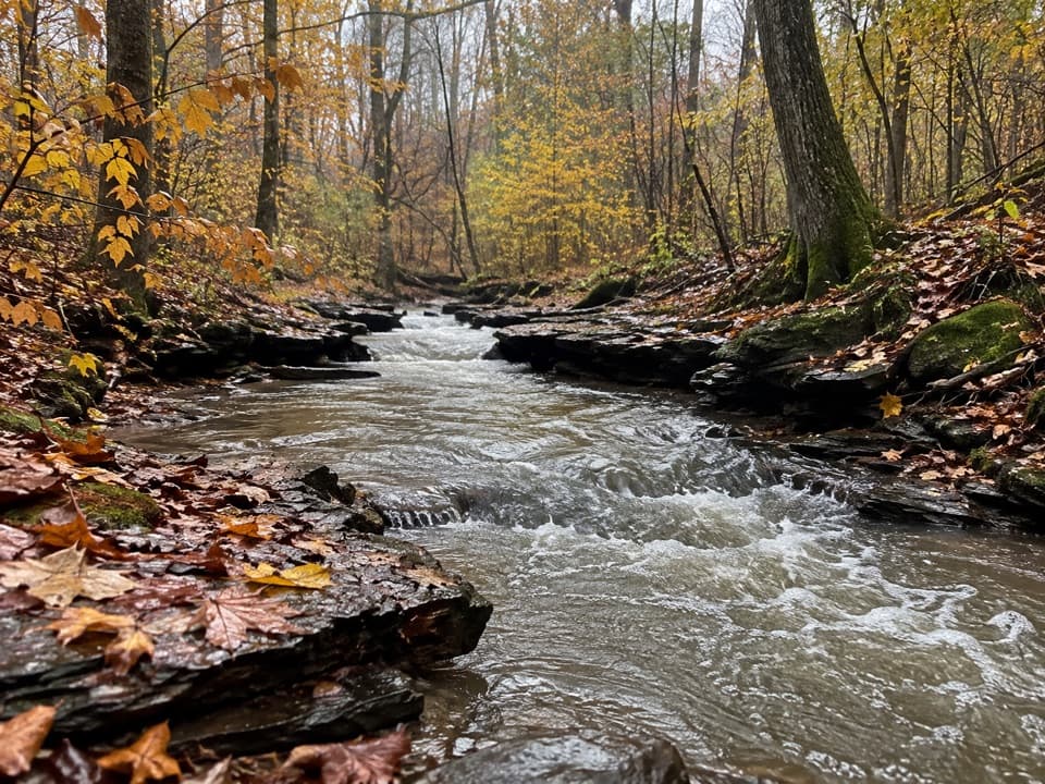
Furnace Run's rocks and water make a stronger foreground than a straight-on shot of the bridge. The park recommends morning light for upstream views and afternoon or evening light looking downstream, where small cascades can add detail. Some creekside angles are screened by trees, so include the bridge's approach or rails to keep its shape clear. The stream rocks are uneven underfoot.

Wildlife

Wildlife in Cuyahoga Valley

All Cuyahoga Valley wildlife maps

Sighting maps show where each species has been reported across Cuyahoga Valley. Wildlife moves, so no sighting is guaranteed.

Keep exploring

Near Everett Covered Bridge

See it all on the map

Trails nearby

More stops nearby

Parkwolf’s Cuyahoga Valley ranking

Top sights in Cuyahoga Valley

All 88 places
  1. 1Brandywine FallsSight
  2. 2The LedgesSight
  3. 3Beaver MarshSight
  4. 4Blue Hen FallsSight
  5. 5Hale Farm & VillageSight
  6. 7Rockside StationSight

Take Parkwolf to Cuyahoga Valley.

The audio tour guide for the drive, plus offline maps, trails, and wildlife heatmaps for when the signal drops.

4.7 from 8,600+ ratings

Download Parkwolf on the App StoreGet Parkwolf on Google Play