Parking
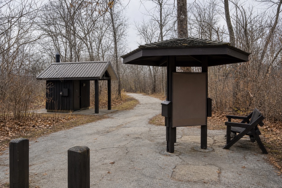
Park at Red Lock Trailhead on Highland Road, about half a mile east of Riverview Road. The loop returns to this trailhead; restrooms are available at Red Lock and in the Boston area.
Cuyahoga Valley National Park, OH
Rugged ridges and ravines out, flat Towpath back.
Overview
Map & elevation
Plan your hike

The highest, rockiest slopes around here are a summer buffet for grizzly bears.
Cuyahoga Valley Tour Guide
Parkwolf is a GPS audio tour guide for Cuyahoga Valley National Park. As you drive, it chimes in with what’s ahead: hidden gems, upcoming stops, history, geology, and wildlife, right through your car’s speakers.
Recorded for this trailhead
Red Lock Trailhead and Jaite Mill“You're nearing Red Lock Trailhead, where I'd choose the short Towpath walk to Jaite Mill for a little industrial history. Follow the level path south for about half a mile, then return the same way.”
Plays as you drive up to this trailhead in the Parkwolf Cuyahoga Valley Tour Guide.
More stories near here in the app
“Fantastic app with many points of information… It’s great to just turn on while you’re driving and it gives you an audio tour of the national Park. We love it!!!!”


Trail guide
This is the Red Lock–Boston circuit: a short access path from Red Lock joins the Buckeye Trail south to Boston, then a signed pedestrian connection reaches the Ohio & Erie Canal Towpath for the northbound return. The park map labels the loop 8.1 miles; other route descriptions put it a little under eight, so plan for about eight miles. Allow roughly four to five hours with stops.
The Red Lock access path has shifted over time with floods and changes in the river. Follow current signs and blue blazes as the connector runs west through fields and across the railroad and roads before climbing into the woods. A blue-blaze jog near a radio tower is easy to miss; slow down at turns and check for the next marker rather than following a worn straight-ahead tread.
The Buckeye section is a narrow, hilly footpath. It climbs to the west rim on built steps, opens briefly along a utility corridor with long valley views, then drops into ravines and climbs out again. Expect rocky footing, creek crossings on stepping stones, and another steep stair climb near Boston. Hemlocks shade the Columbia Run ravine, where old homestead traces remain.
A signed side path reaches Blue Hen Falls near the southern end of the Buckeye section. The falls are a short detour rather than part of the mapped loop; return to the marked route before continuing toward Spring Creek and Boston.
Near Boston, follow the signed connection across the railroad and the pedestrian bridge over the Cuyahoga River to the Towpath behind Boston Store. The return north follows the old canal corridor and is much flatter than the Buckeye Trail.
Park at Red Lock Trailhead on Highland Road, about half a mile east of Riverview Road; the loop returns to the same access. Restrooms are available at Red Lock and in the Boston area. Dogs are allowed on this route on a leash no longer than six feet.
Wildlife
 319 sightingsBald EagleMost seen around 7 AMSighting map
 12 sightingsRiver OtterMost seen around 7 AMSighting map
 103 sightingsCoyoteMost seen around 7 PMSighting map
 248 sightingsBeaverMost seen around 8 PMSighting map
 492 sightingsWhite-tailed DeerMost seen around 6 AMSighting map
 99 sightingsTrumpeter SwanMost seen around 5 PMSighting map
Sighting maps show where each species has been reported across Cuyahoga Valley. Wildlife moves, so no sighting is guaranteed.
Keep exploring
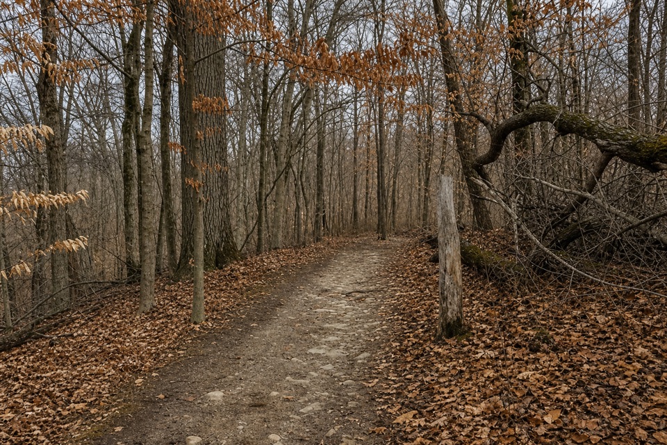 ModerateOld Carriage Trail5.3 mi · 2.5 hr · At the trailheadA rocky forest loop, with a canal-side start and an old earthwork.
 ModerateStanford Trail3.5 mi · 2.5 hr · 1.2 mi awayA wooden creek bridge and switchbacks lead to the falls.
 ModerateBrandywine Gorge Loop1.4 mi · 1 hr · 1.5 mi awayRocky gorge loop with a footbridge and Brandywine Falls views.
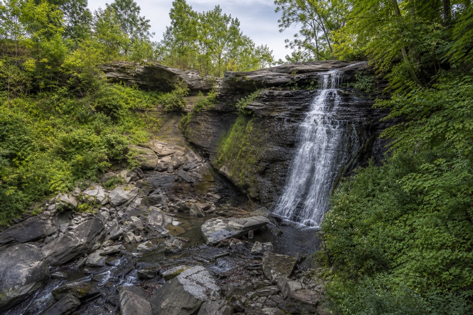 EasyBike & Hike Trail: Brandywine Falls to Boston Heights2 mi · 48 min · 1.5 mi awayAn easy paved link with a waterfall at the northern access.
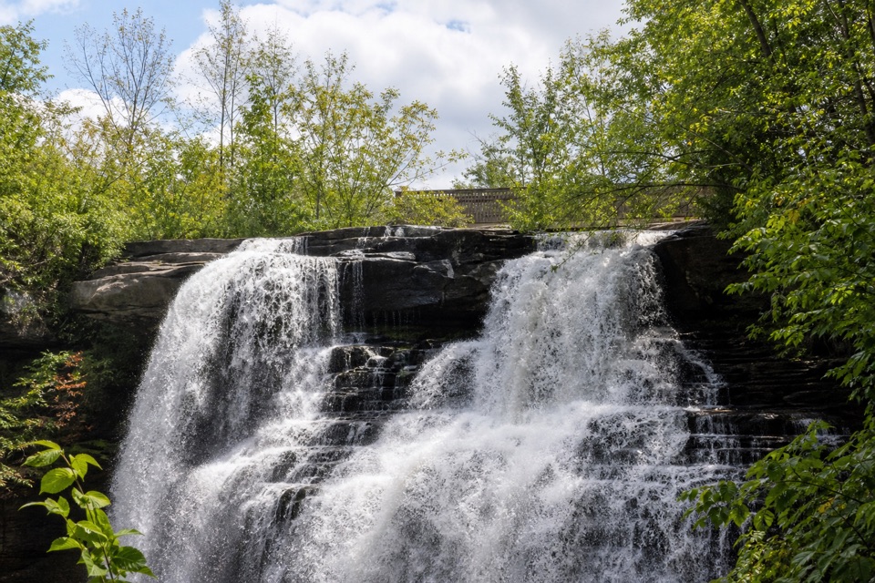 EasyBrandywine Falls Upper Boardwalk0.4 mi · 30 min · 1.5 mi awayA quick, accessible boardwalk looks down on Brandywine Falls.
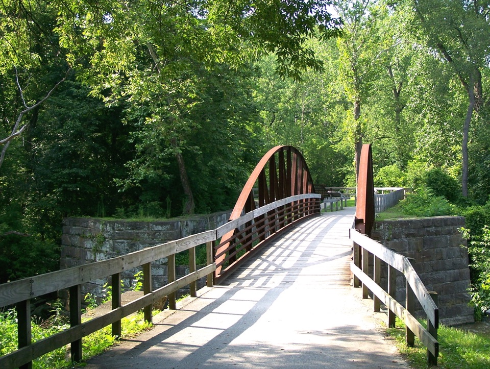 ModerateBuckeye Trail Loop7.1 mi · 4 hr · 1.8 mi awayTake the hilly Buckeye leg out and flat Towpath back.
 ModerateBlue Hen Falls Trail3 mi · 1.5 hr · 1.8 mi awayA steep Buckeye Trail climb ends at a 15-foot waterfall.
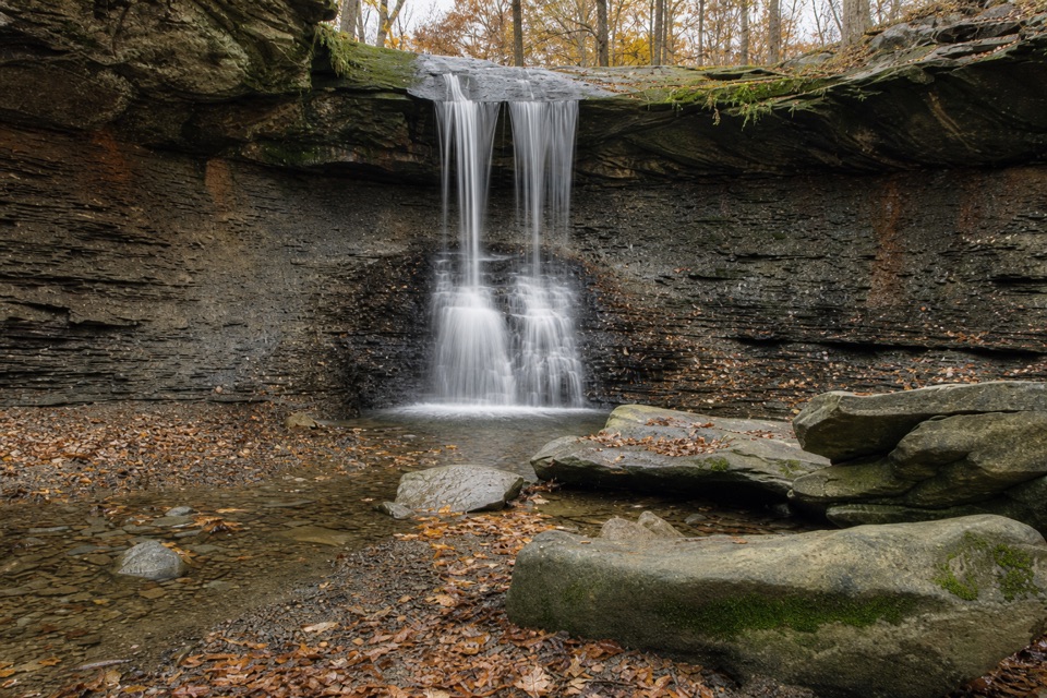 ModerateButtermilk Falls via Blue Hen Falls3.5 mi · 2.5 hr · 1.8 mi awayTwo waterfalls, steep ridges, and a rough creekside finish.
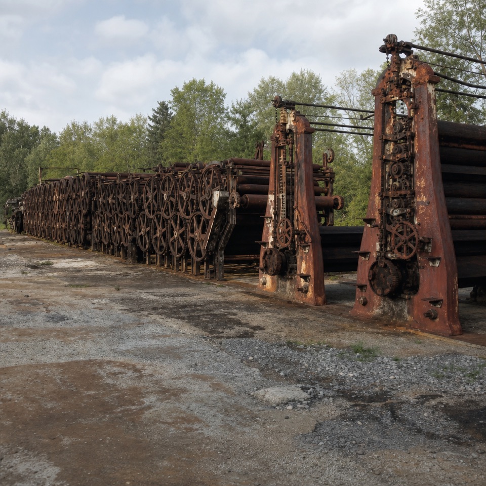 Sight · 0.3 mi awayJaite Mill SiteA short Towpath walk to a paper mill’s surviving machinery and markers.
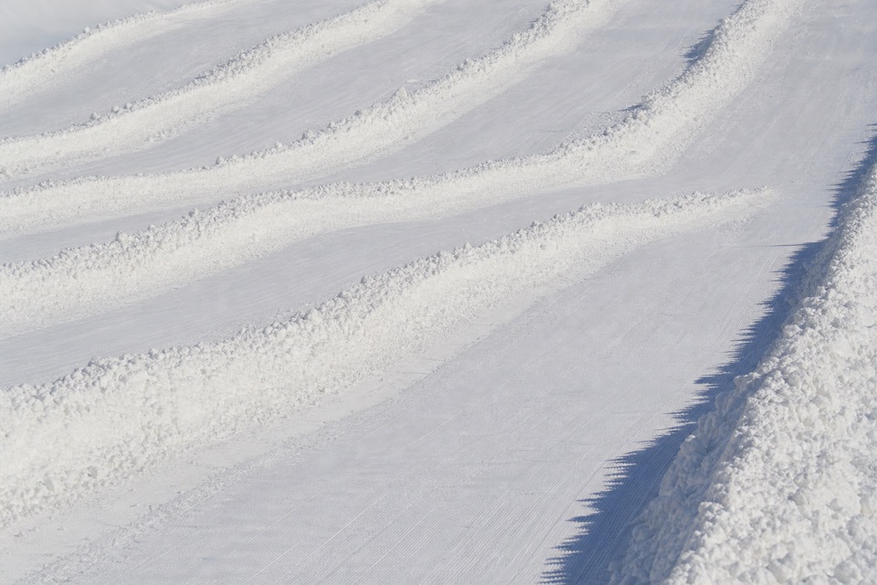 Sight · 0.7 mi awayBrandywine Ski ResortA local winter hill with a progression park and tubing next door.
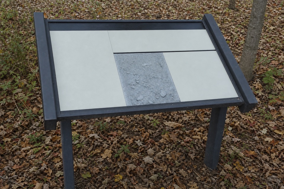 Sight · 0.7 mi awayGreenwood Village: Prehistoric EarthworkA wooded earthwork whose purpose may have been ceremonial.
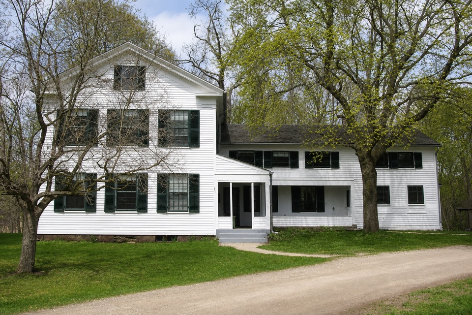 Sight · 1.3 mi awayStanford HouseA Greek Revival farmhouse shaped by the canal-era valley.
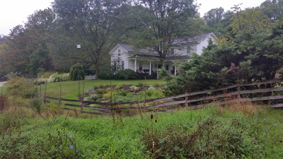 Lodging · 1.5 mi awayThe Inn at Brandywine FallsA historic B&B puts Brandywine Falls within an easy walk.
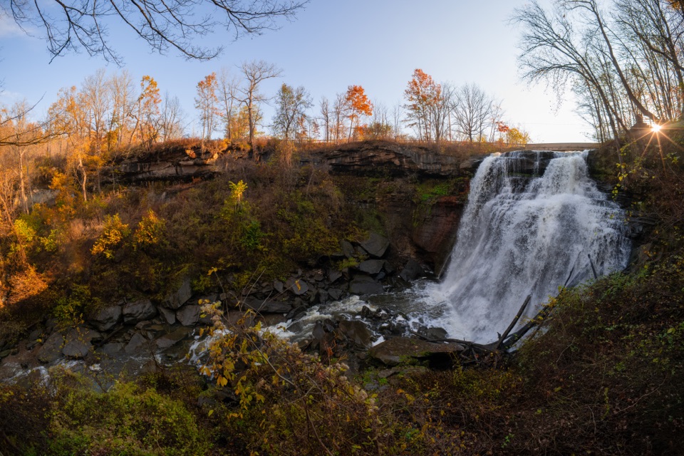 Sight · 1.6 mi awayBrandywine FallsA short boardwalk reveals a 60-foot waterfall and wooded gorge.
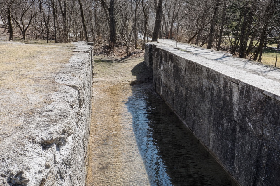 Sight · 1.7 mi awayLock 32Where canal boats waited, and Boston grew around them.
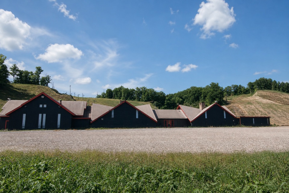 Sight · 1.7 mi awayBoston Mills Ski ResortQuick local laps, with a real challenge on the Tiger run.
Parkwolf’s Cuyahoga Valley ranking

The audio tour guide for the drive, plus offline maps, trails, and wildlife heatmaps for when the signal drops.


