Parking
Start from the main parking area at O’Neil Woods Metro Park, 2550 Martin Road, Akron. The official map marks the Deer Run trailhead by this north entrance; restrooms and picnic sites are nearby.
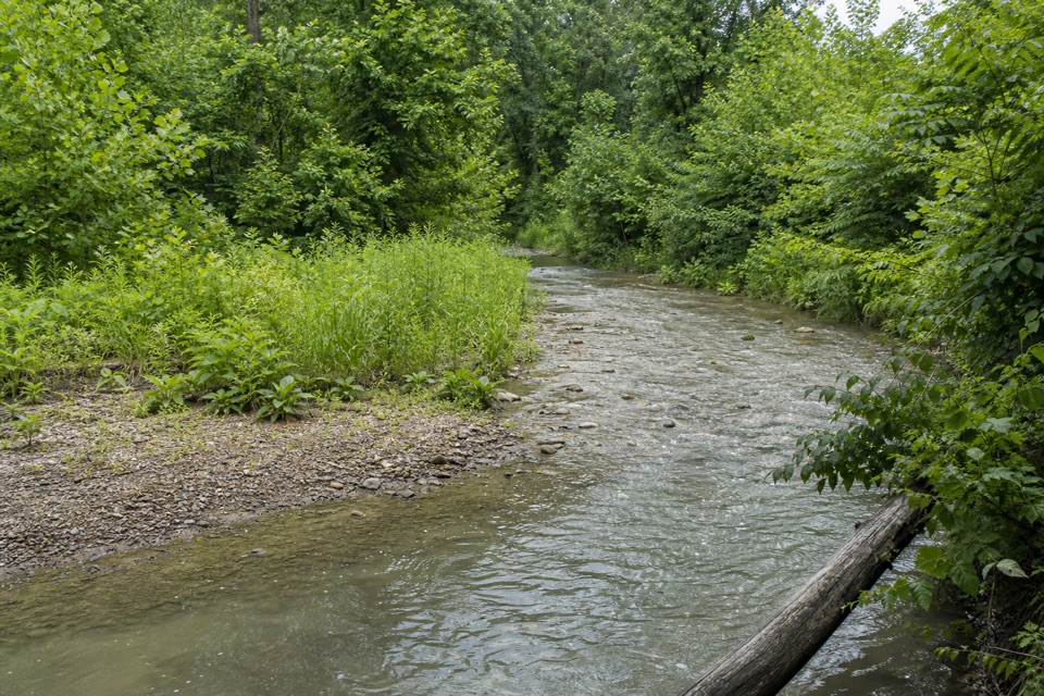
Cuyahoga Valley National Park, OH
Rolling woods, Yellow Creek, and an old farm barn.
Overview
Map & elevation
Plan your hike

The highest, rockiest slopes around here are a summer buffet for grizzly bears.
Cuyahoga Valley Tour Guide
Parkwolf is a GPS audio tour guide for Cuyahoga Valley National Park. As you drive, it chimes in with what’s ahead: hidden gems, upcoming stops, history, geology, and wildlife, right through your car’s speakers.
Recorded for this area
The Frog That Freezes“In winter, a wood frog can have ice inside its body and still survive. It settles into leaf litter, where part of its body freezes and its heart and breathing stop.”
Plays on the road 0.5 mi from the trailhead in the Parkwolf Cuyahoga Valley Tour Guide.
More stories near here in the app
“Fantastic app with many points of information… It’s great to just turn on while you’re driving and it gives you an audio tour of the national Park. We love it!!!!”


Trail guide
Deer Run is a 2-mile loop from the main trailhead at O’Neil Woods Metro Park. It rolls through hardwood woods, drops toward Yellow Creek, passes the O’Neil family barn, and climbs back to the start. Allow about 1 to 1½ hours; the hills make this a tougher outing than the distance suggests. It’s a good pick for a short, varied hike, but not a flat stroll.
The route rises and falls under a hardwood canopy before reaching a scenic stretch of Yellow Creek. From there it passes the old barn and loops through the woods toward the north access. The walk also gives you views across the Cuyahoga River Valley. There’s no single summit or long approach; the interest comes from the changing woodland, creek, and farmstead along one compact loop.
The barn is a holdover from the O’Neil family farm. William and Grace O’Neil donated the 242-acre property to the park district in 1972; their son M. Gerald later served on the park board. The former farm barn now shelters a small maternity colony of big brown bats, an unexpectedly wild detail on a short local loop.
Yellow Creek is one of the cleaner tributaries in the Cuyahoga River watershed, and this route follows a scenic section of it. Restrooms and picnic sites are near the starting access, so the loop pairs easily with a picnic. No food vendor or drinking-water source was listed for the park in the material checked.
Wildlife
 319 sightingsBald EagleMost seen around 7 AMSighting map
 12 sightingsRiver OtterMost seen around 7 AMSighting map
 103 sightingsCoyoteMost seen around 7 PMSighting map
 248 sightingsBeaverMost seen around 8 PMSighting map
 492 sightingsWhite-tailed DeerMost seen around 6 AMSighting map
 99 sightingsTrumpeter SwanMost seen around 5 PMSighting map
Sighting maps show where each species has been reported across Cuyahoga Valley. Wildlife moves, so no sighting is guaranteed.
Keep exploring
 EasyBeaver Marsh Walk0.6 mi · 30 min · 1 mi awayA level Towpath stroll to Beaver Marsh's wildlife boardwalk.
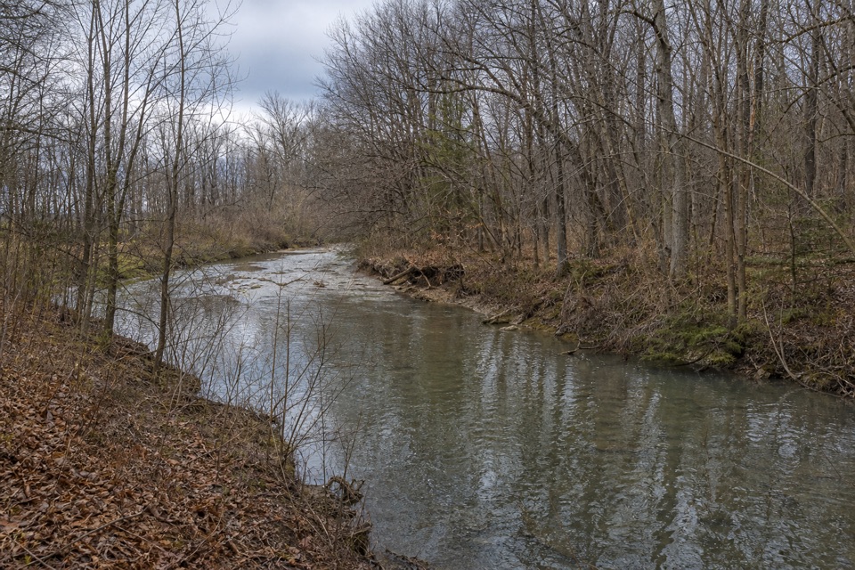 ModerateFurnace Run Trail1.9 mi · 1.3 hr · 2.4 mi awayMore than 90 stairs lead into a quiet wooded loop
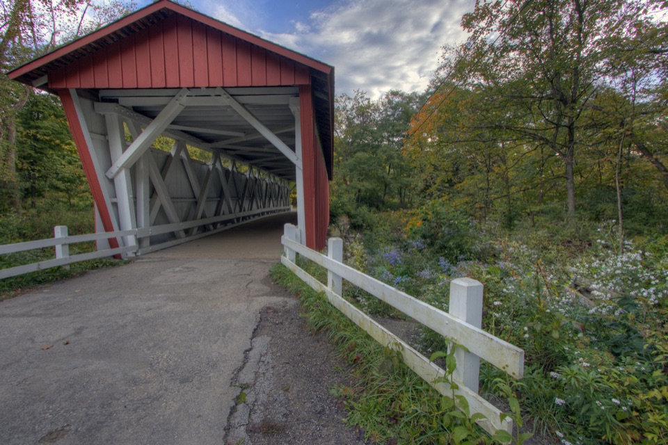 ChallengingPerkins Trail3.8 mi · 2.5 hr · 2.4 mi awayA covered bridge gives way to two rough creek crossings.
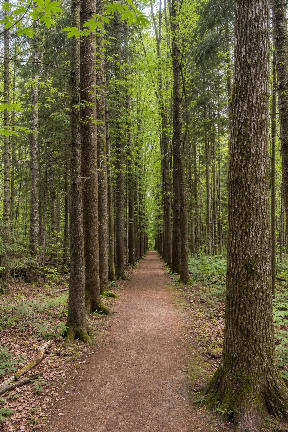 ModeratePlateau Trail4.6 mi · 2.5 hr · 3.5 mi awayA long woodland loop past three ponds and a pine corridor
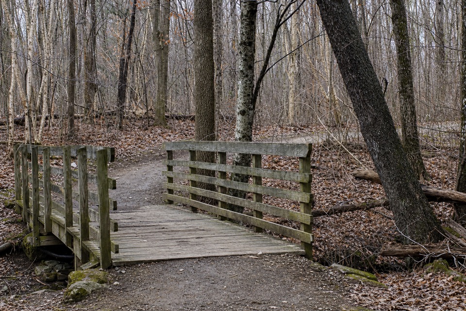 EasyOak Hill Trail1.4 mi · 45 min · 3.5 mi awayA gentle loop past Sylvan Pond and old farm traces.
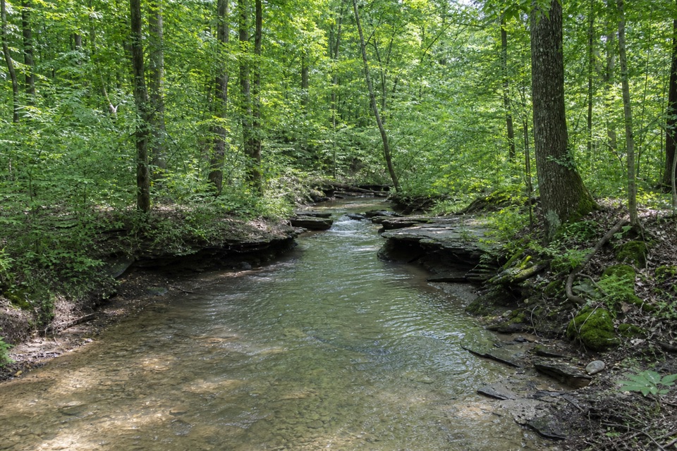 ModerateWetmore Trail4.6 mi · 2.5 hr · 3.8 mi awayA hilly woods loop with creeks and old farm paths
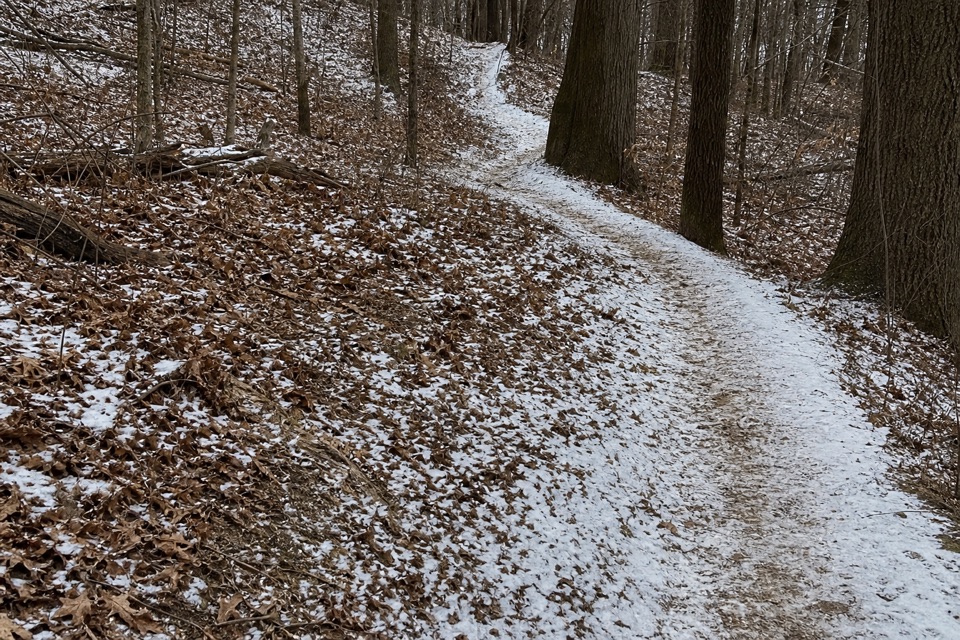 ModerateLanges Run Trail3.3 mi · 2.5 hr · 3.8 mi awayA hilly woodland trail shared with horses, creeks and wildflowers
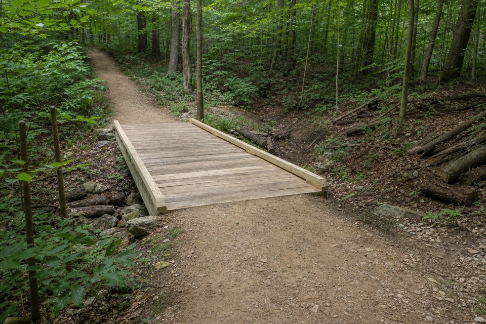 EasyTabletop Trail0.7 mi · 30 min · 3.8 mi awayA short dirt segment through the Wetmore trail network.
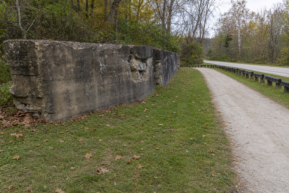 Sight · 0.7 mi awayLock 24One surviving canal wall marks the vanished village of Botzum.
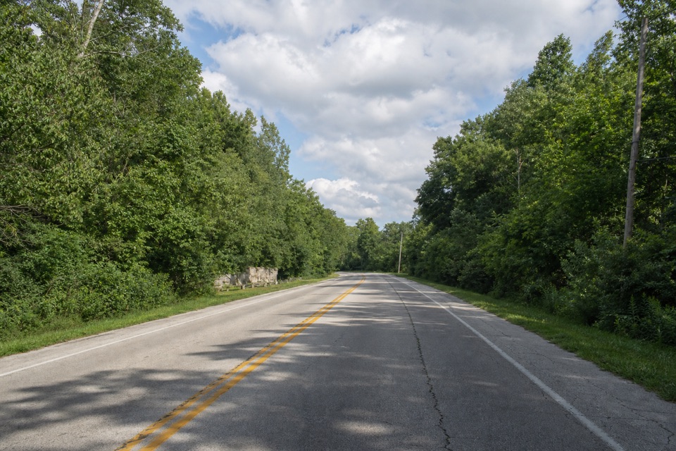 Sight · 0.7 mi awayLock 25A crumbling wall makes this canal's working past tangible.
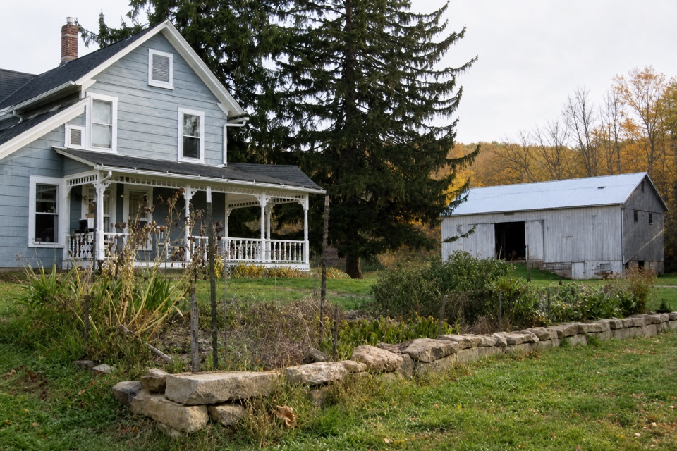 Store · 1.1 mi awayThe Neitenbach FarmA working vegetable and herb farm with an on-farm stand.
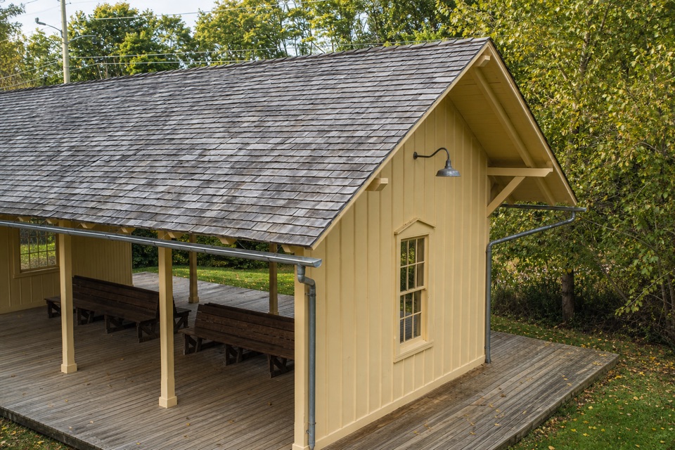 Sight · 1.1 mi awayBotzum StationA train stop with a tiny exhibit on the valley's rail past.
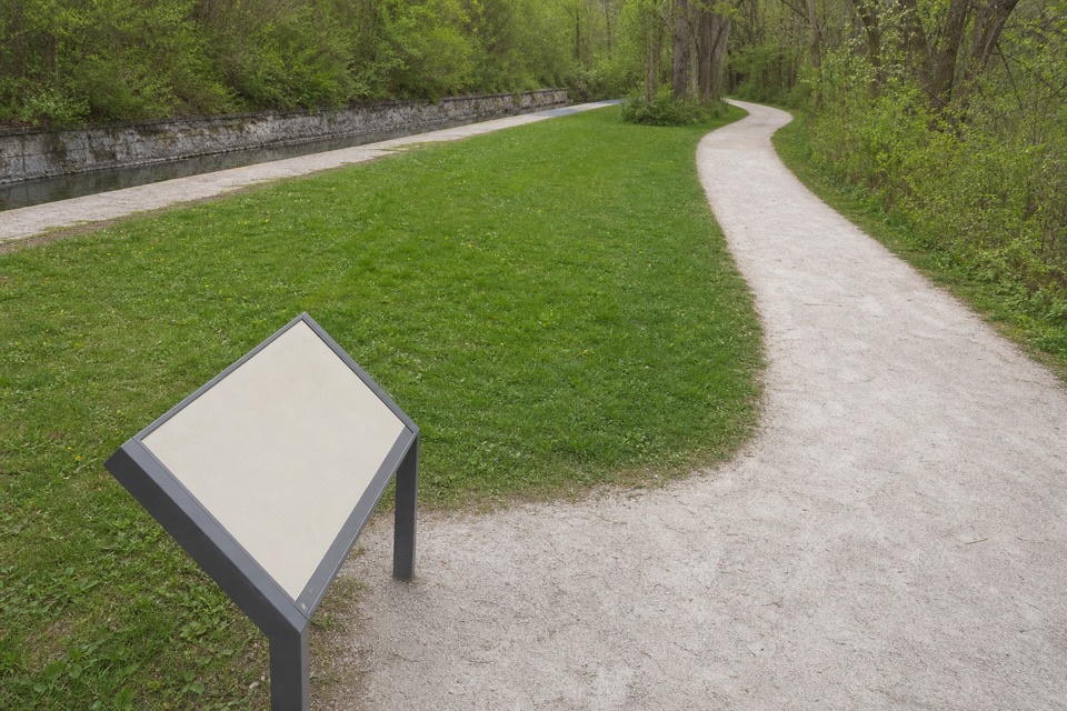 Sight · 1.1 mi awayLock 26A modest canal lock with a surprisingly human dairy-era story.
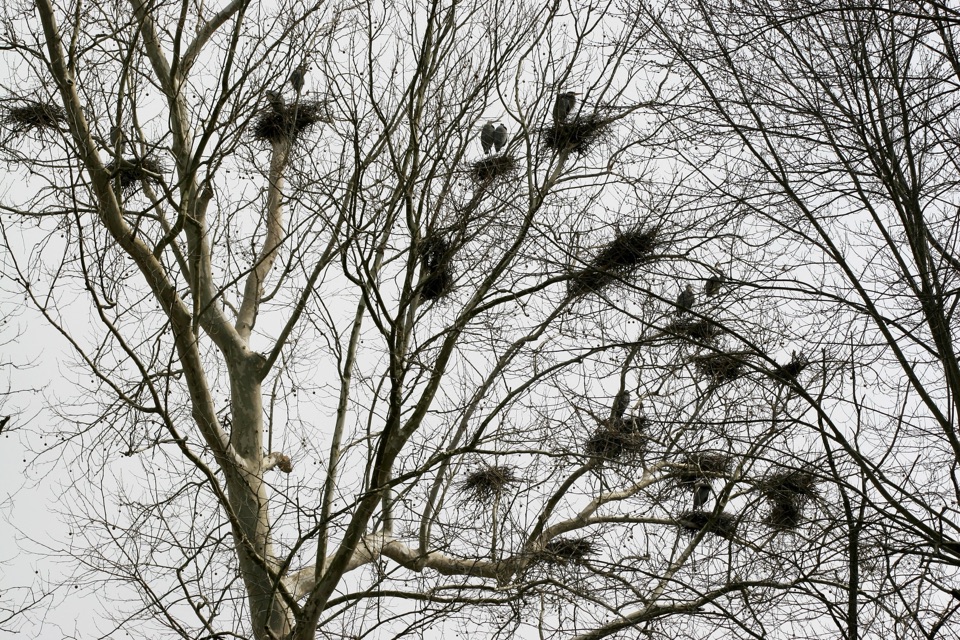 Sight · 1.2 mi awayBath Road HeronryA spring heron nursery watched from a roadside pullout.
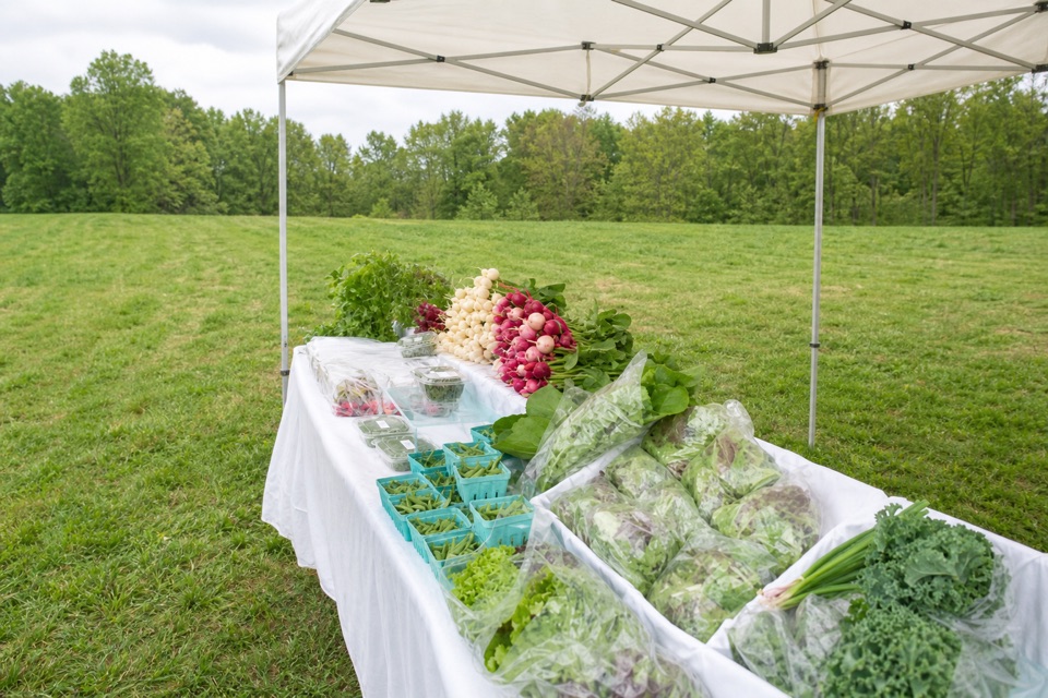 Sight · 1.3 mi awayHowe MeadowA seasonal market pairs local food with open-air summer concerts.Sight · 1.3 mi awayBeaver MarshA short boardwalk crosses a wetland shaped by returning beavers.
Parkwolf’s Cuyahoga Valley ranking

The audio tour guide for the drive, plus offline maps, trails, and wildlife heatmaps for when the signal drops.




