Parking
Use the Everett Covered Bridge parking area on Everett Road, then cross the road to the trail entrance. Restrooms and an information kiosk are at the access.
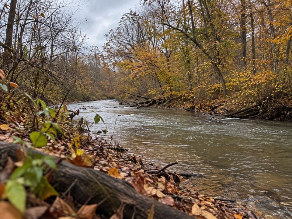
Cuyahoga Valley National Park, OH
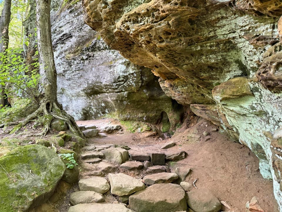
More than 90 stairs lead into a quiet wooded loop
Overview
Map & elevation
Plan your hike

The highest, rockiest slopes around here are a summer buffet for grizzly bears.
Cuyahoga Valley Tour Guide
Parkwolf is a GPS audio tour guide for Cuyahoga Valley National Park. As you drive, it chimes in with what’s ahead: hidden gems, upcoming stops, history, geology, and wildlife, right through your car’s speakers.
See the Cuyahoga Valley audio tourRecorded for this trailhead
Everett Covered Bridge“You're heading toward Everett Covered Bridge, a red wooden crossing over Furnace Run. Make this a short stop if you want a little history without a long hike; the bridge is a short walk from the parking area.”
Plays as you drive up to this trailhead in the Parkwolf Cuyahoga Valley Tour Guide.
More stories near here in the app
“Fantastic app with many points of information… It’s great to just turn on while you’re driving and it gives you an audio tour of the national Park. We love it!!!!”


Trail guide
Furnace Run Trail is a wooded 1.9-mile loop from the Everett Covered Bridge parking area. The park lists the route at 1.9 miles; a detailed trail description puts it just over 2, so plan for about two miles and allow one to one and a half hours. It suits a quiet woodland walk if you are comfortable with a steep stair climb at the start. If that sounds like a dealbreaker, choose a flatter trail.
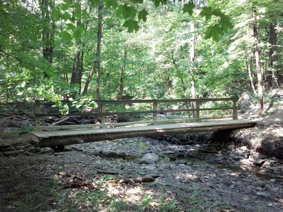
Cross Everett Road from the parking area to reach the trail entrance, then climb more than 90 zigzagging stairs. That is the hardest part. At the top, the route eases into a nearly straight, smoother 0.7-mile stretch through the woods. It crosses Oak Hill Road before reaching Furnace Loop, a mossy half-mile walk that closes the circuit.
Everett Covered Bridge stands beside the parking access; it is not a segment of the Furnace Run loop. It is Summit County's only remaining covered bridge. A spring storm swept the original from its sandstone abutments in 1975, and a community-funded reconstruction was completed in 1986. The local story that an 1877 drowning prompted the bridge is unconfirmed.
The park lists about 240 feet of elevation change, much of it concentrated in the first stair climb. The hilly dirt route is not wheelchair accessible. Restrooms and an information kiosk are at the bridge access. No drinking water or food service is confirmed along the route, so bring water. Pets are allowed on a leash no longer than six feet; clean up after them.
Wildlife
 319 sightingsBald EagleMost seen around 7 AMSighting map
 12 sightingsRiver OtterMost seen around 7 AMSighting map
 103 sightingsCoyoteMost seen around 7 PMSighting map
 248 sightingsBeaverMost seen around 8 PMSighting map
 494 sightingsWhite-tailed DeerMost seen around 6 AMSighting map
 102 sightingsTrumpeter SwanMost seen around 5 PMSighting map
Sighting maps show where each species has been reported across Cuyahoga Valley. Wildlife moves, so no sighting is guaranteed.
Keep exploring
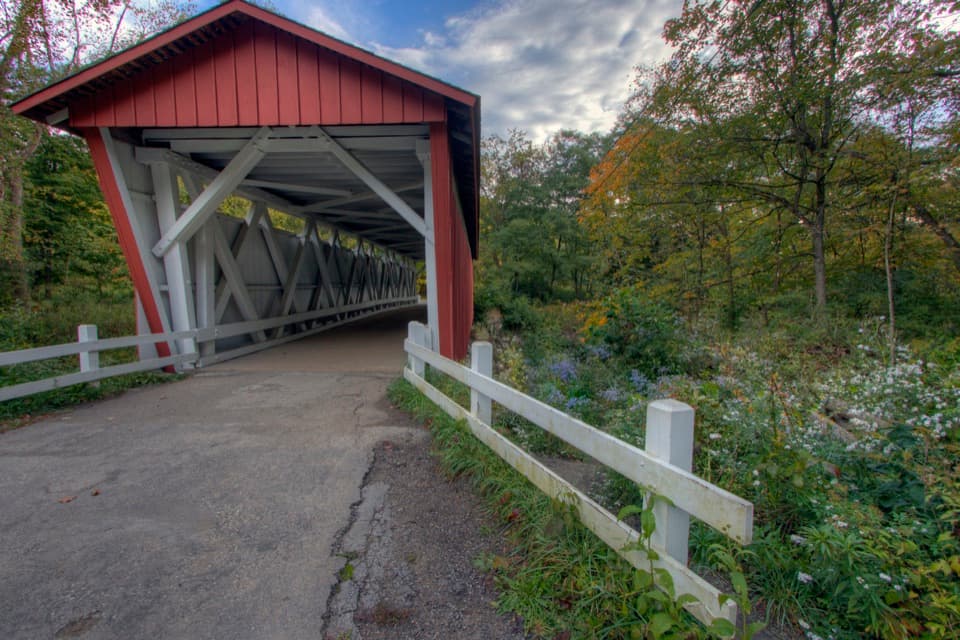 ChallengingPerkins Trail3.8 mi · 2.5 hr · 0.1 mi awayA covered bridge gives way to two rough creek crossings.
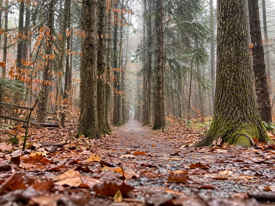 ModeratePlateau Trail4.6 mi · 2.5 hr · 1.1 mi awayA long woodland loop past three ponds and a pine corridor
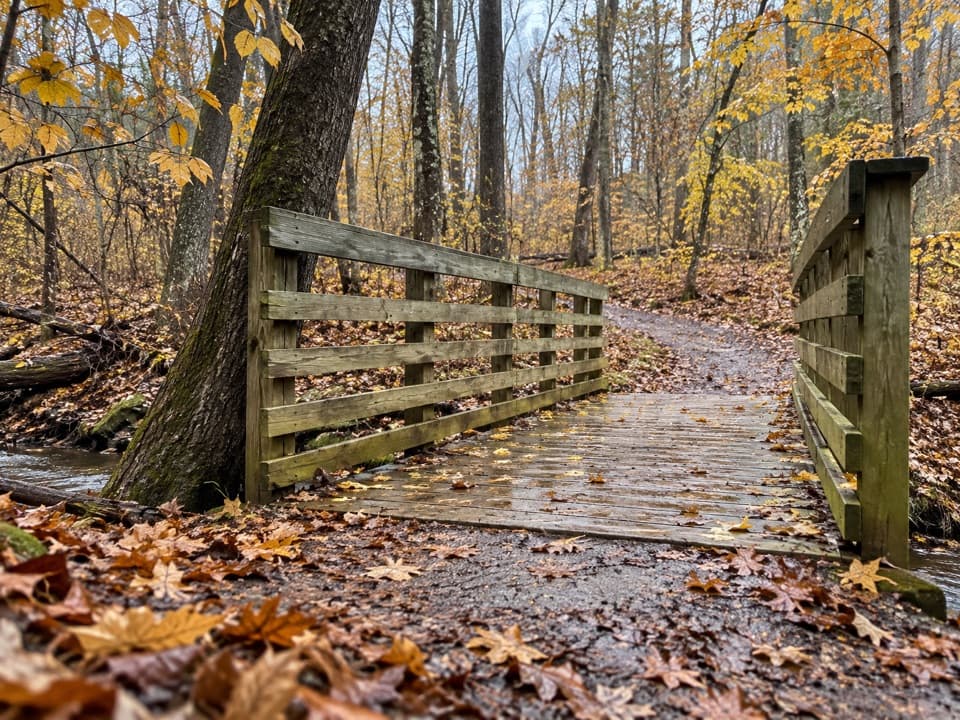 EasyOak Hill Trail1.4 mi · 45 min · 1.1 mi awayA gentle loop past Sylvan Pond and old farm traces.
 EasyBeaver Marsh Walk0.6 mi · 30 min · 1.4 mi awayA level Towpath stroll to Beaver Marsh's wildlife boardwalk.
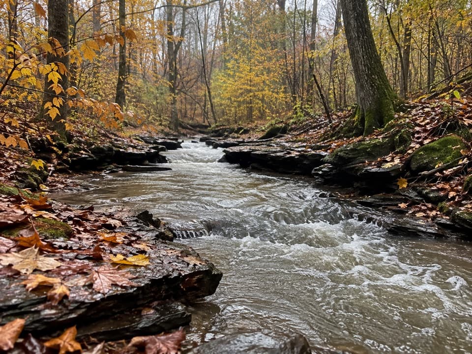 ModerateWetmore Trail4.6 mi · 2.5 hr · 2.1 mi awayA hilly woods loop with creeks and old farm paths
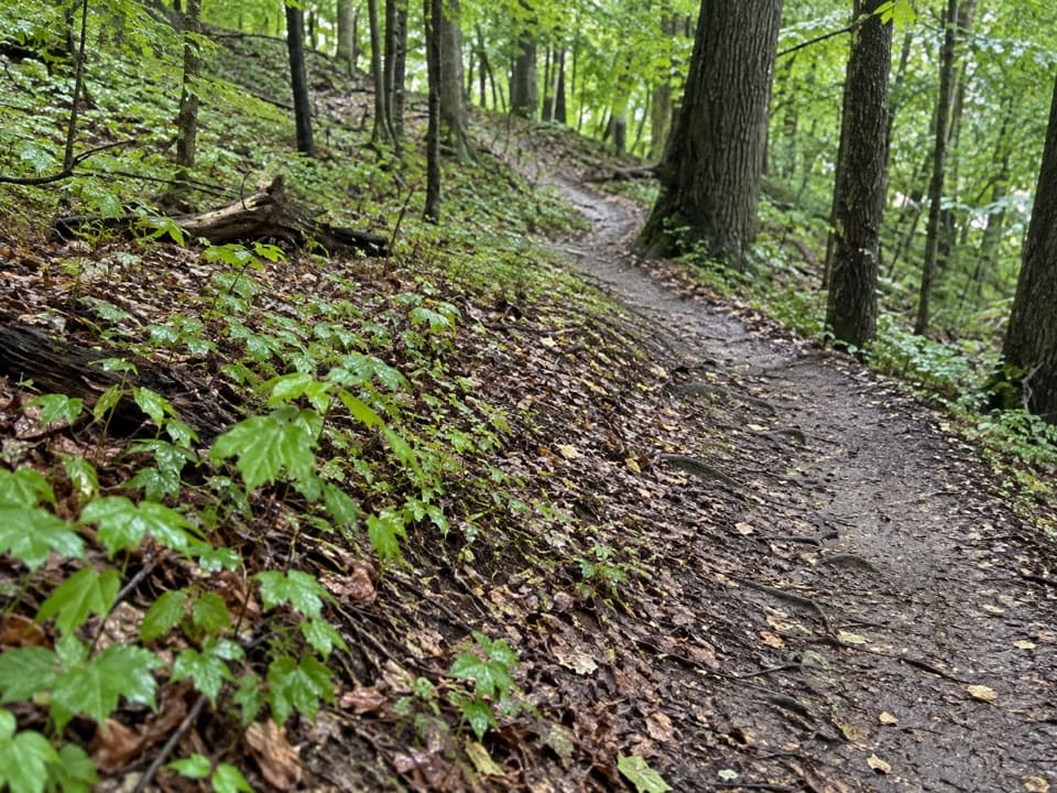 ModerateLanges Run Trail3.3 mi · 2.5 hr · 2.1 mi awayA hilly woodland trail shared with horses, creeks and wildflowers
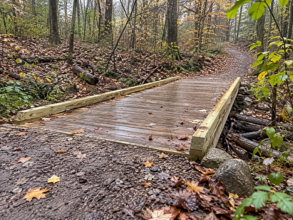 EasyTabletop Trail0.7 mi · 30 min · 2.1 mi awayA short dirt segment through the Wetmore trail network.
 EasyButlers Trail0.7 mi · 18 min · 2.1 mi awayA short rolling dirt path into the Wetmore trail network.
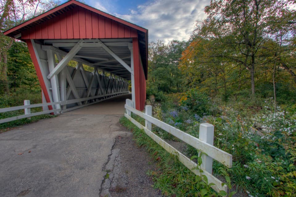 Sight · At the trailheadEverett Covered BridgeSummit County's last covered bridge, rebuilt after a devastating flood.
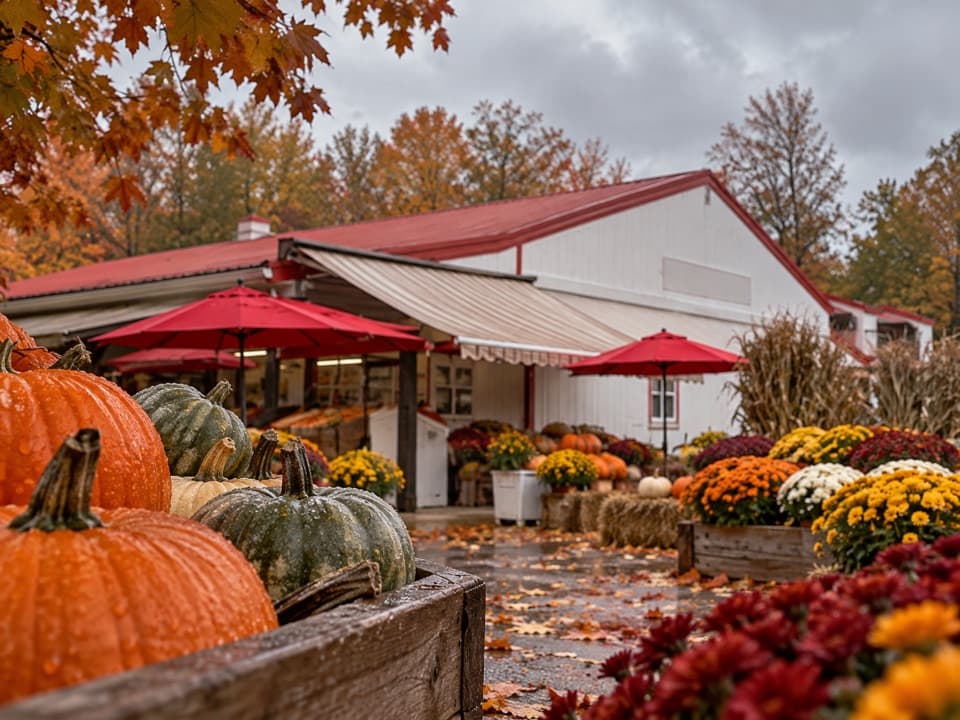 Store · 0.6 mi awaySzalay’s Farm & MarketA farm-market stop for sweet corn and fall fun.
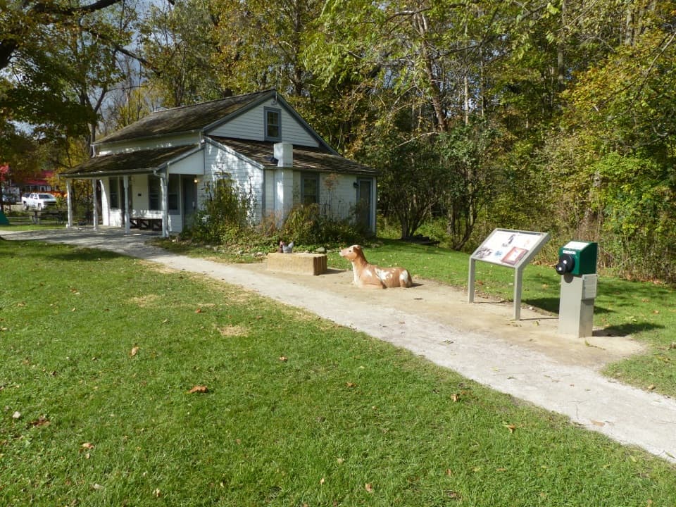 Visitor center · 0.6 mi awayHunt House and Outdoor ExhibitsA small historic house with hands-on stories of life in Everett.
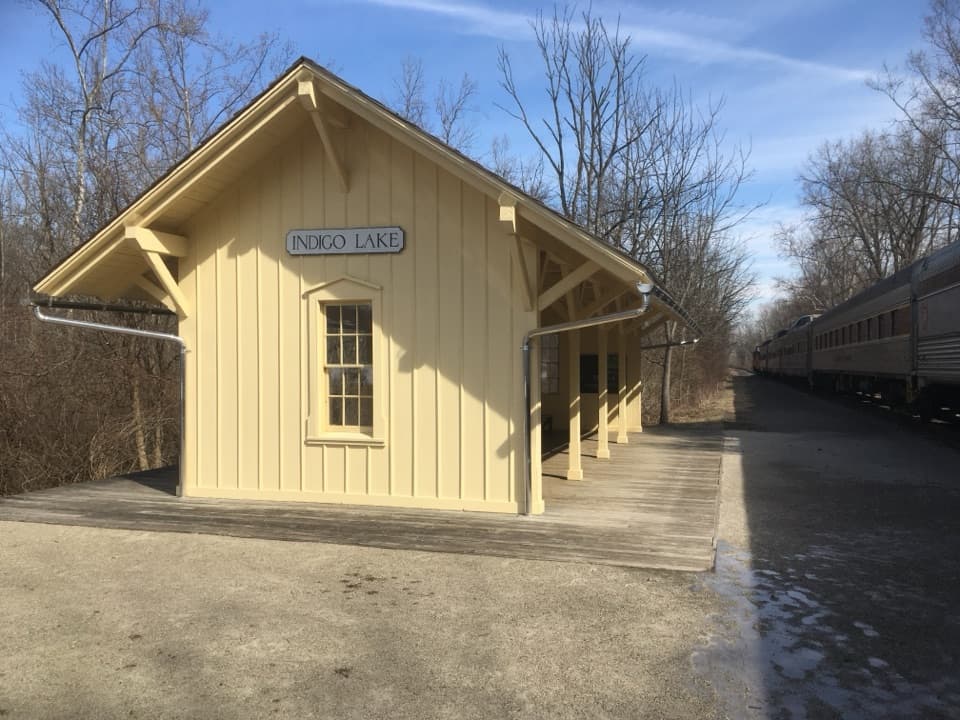 Sight · 0.7 mi awayIndigo Lake StationA train stop for an easy lake loop and Towpath connection.
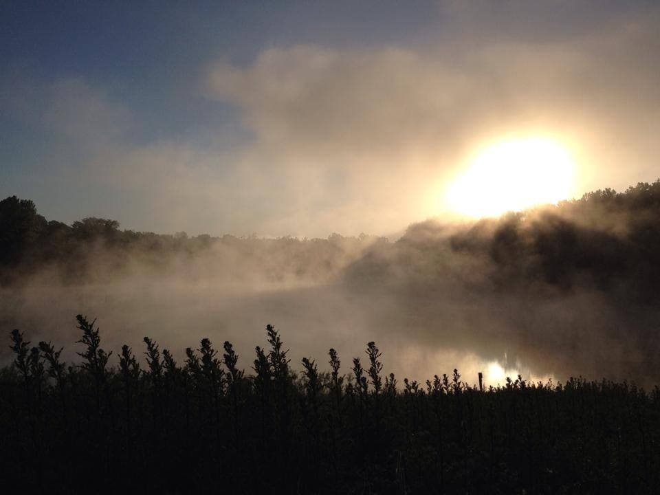 Sight · 0.7 mi awayIndigo LakeA former mine turned low-key lakeside picnic stop
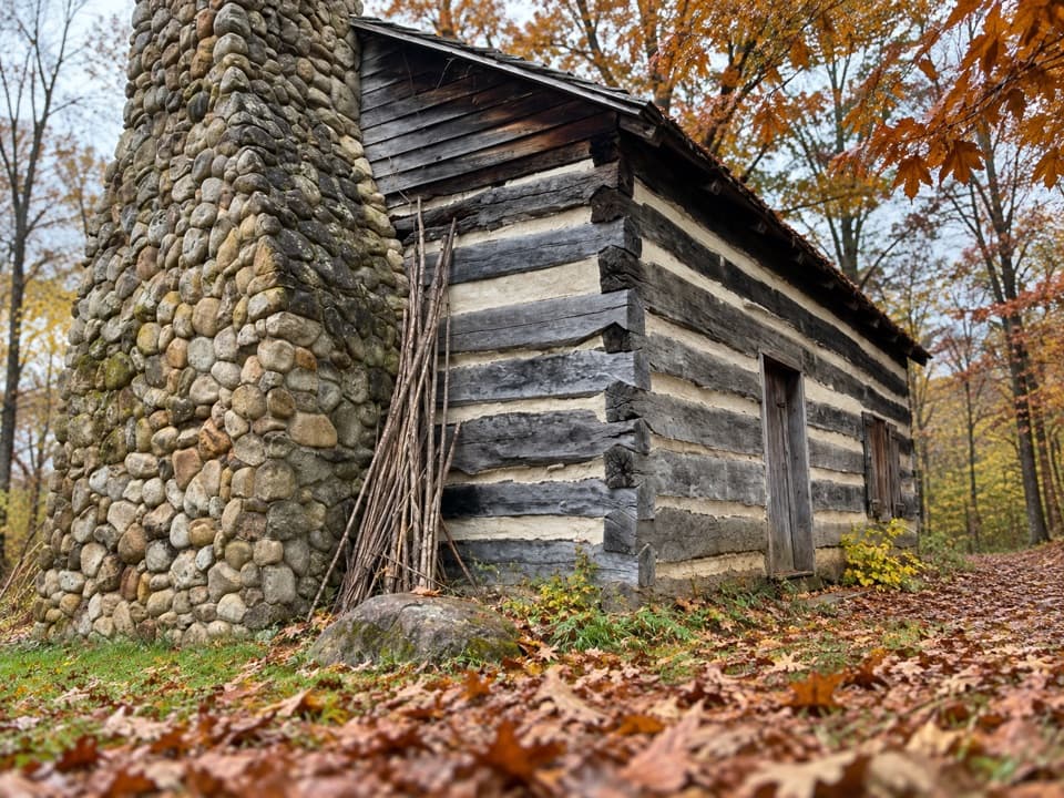 Sight · 1 mi awayHale Farm & VillageHistoric houses, farm life and working crafts make a full afternoon.
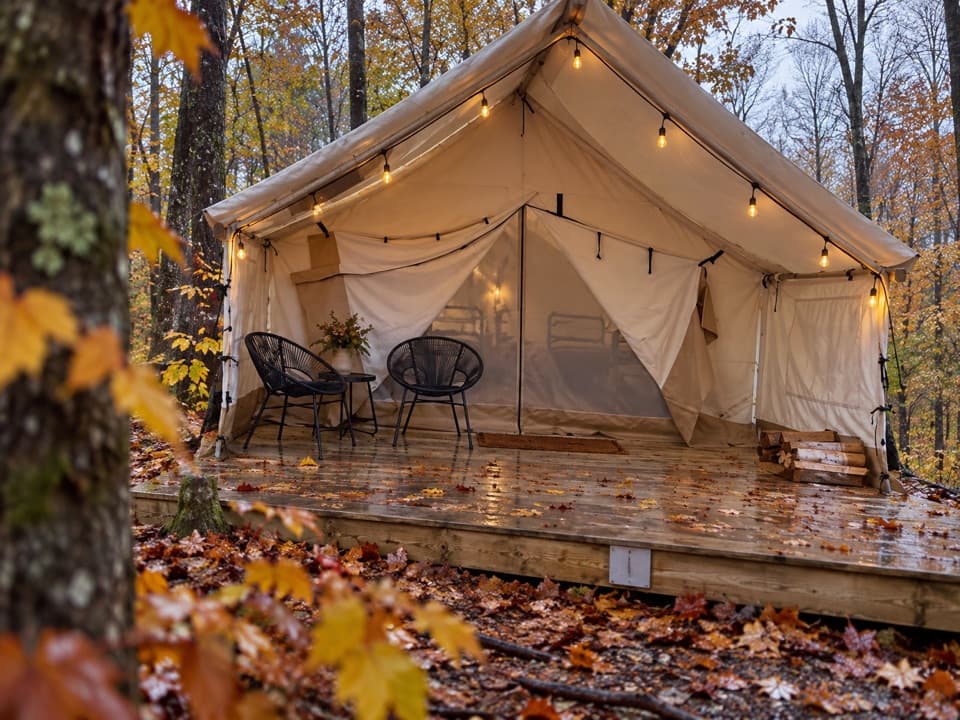 Campground · 1.1 mi awayValley OverlookA wooded base with furnished tents, cabins, and a west-facing valley view.
 Sight · 1.1 mi awayHowe MeadowA seasonal market pairs local food with open-air summer concerts.
Parkwolf’s Cuyahoga Valley ranking

The audio tour guide for the drive, plus offline maps, trails, and wildlife heatmaps for when the signal drops.