Parking
Oak Hill Trailhead at 3901 Oak Hill Road, Peninsula. The lot has parking, picnic tables, a kiosk and vault or composting toilets.
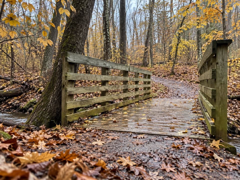
Cuyahoga Valley National Park, OH
A gentle loop past Sylvan Pond and old farm traces.
Overview
Map & elevation
Plan your hike

The highest, rockiest slopes around here are a summer buffet for grizzly bears.
Cuyahoga Valley Tour Guide
Parkwolf is a GPS audio tour guide for Cuyahoga Valley National Park. As you drive, it chimes in with what’s ahead: hidden gems, upcoming stops, history, geology, and wildlife, right through your car’s speakers.
See the Cuyahoga Valley audio tourRecorded for this trailhead
Oak Hill and Plateau Trails“Oak Hill Trailhead is coming up, with woodland loops for either a short walk or a longer outing.”
Plays as you drive up to this trailhead in the Parkwolf Cuyahoga Valley Tour Guide.
More stories near here in the app
“Fantastic app with many points of information… It’s great to just turn on while you’re driving and it gives you an audio tour of the national Park. We love it!!!!”


Trail guide
Oak Hill Trail is a mostly level 1.4-mile loop from Oak Hill Trailhead through hardwood woods and around Sylvan Pond. Allow about 45 minutes, plus time at the water. It is a good pick for an easy woodland walk, not a destination hike for big views or a hard climb. Park pages give different distances, from about 1.4 to 1.8 miles; this entry follows the short inner loop on the area map, whose path measures about 1.43 miles.
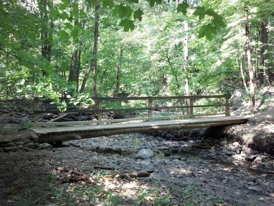
The trail leaves the lot through woods and a short boardwalk, then reaches junctions where Oak Hill and the longer Plateau Trail cross or connect. Check the trail map before setting out and follow Oak Hill signs at each fork; connector branches can turn this short circuit into a much longer walk. The route reaches Sylvan Pond about 0.4 mile in, skirts its wooded edge, then returns through the forest. Small footbridges cross wet spots along the way. It is a gentle walk, but roots, gravel and bridges keep it from feeling like a smooth paved stroll.
Sylvan Pond is the walk’s main pause. The path comes close to its north edge; lily pads sit among the water, and shoreline flowers bloom in season. The pond is the best photo stop: include some of the water, its wooded edge and the lily pads rather than stepping off the trail for a different angle.
After the pond, most of the route stays under hardwood cover. Oak, hemlock, maple and cherry trees shade the path, with occasional meadow openings. Puddles and muddy patches are common in spring or after rain, and roots can be slick when wet.
This part of the park was once farmland. Look for straight fencerow edges, old farm lanes and planted trees that mark where fields and property lines used to be. The cleared fields have grown back into woods and meadows, while the ponds remain and attract wildlife and anglers.
Oak Hill Trailhead is at 3901 Oak Hill Road. The lot has parking, picnic tables, a kiosk and vault or composting toilets. Leashed pets are allowed; use a leash no longer than six feet. A few nearby branches lead toward the Environmental Education Center, where access is restricted, so stay on the signed public route and obey posted closures.
Wildlife
 319 sightingsBald EagleMost seen around 7 AMSighting map
 12 sightingsRiver OtterMost seen around 7 AMSighting map
 103 sightingsCoyoteMost seen around 7 PMSighting map
 248 sightingsBeaverMost seen around 8 PMSighting map
 494 sightingsWhite-tailed DeerMost seen around 6 AMSighting map
 102 sightingsTrumpeter SwanMost seen around 5 PMSighting map
Sighting maps show where each species has been reported across Cuyahoga Valley. Wildlife moves, so no sighting is guaranteed.
Keep exploring
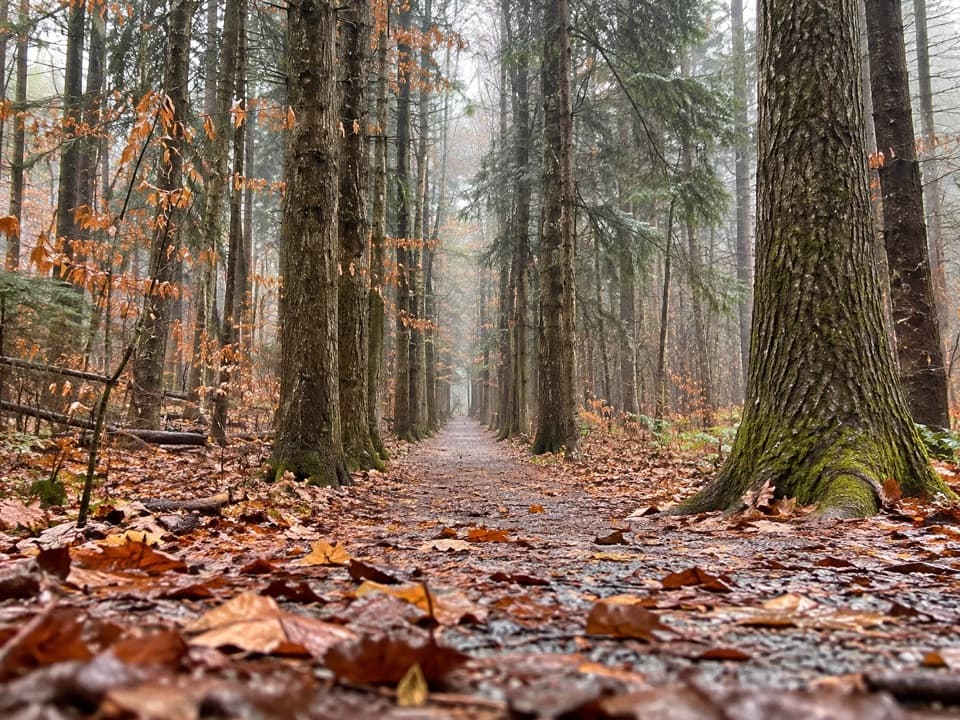 ModeratePlateau Trail4.6 mi · 2.5 hr · At the trailheadA long woodland loop past three ponds and a pine corridor
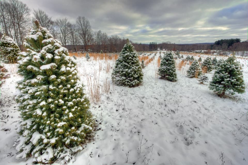 ModerateTree Farm Trail2.8 mi · 1.5 hr · 1 mi awayOld field rows and recovering woods make a quietly changing loop.
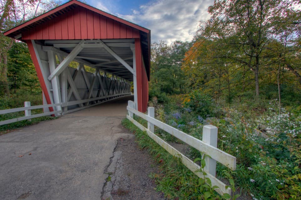 ChallengingPerkins Trail3.8 mi · 2.5 hr · 1.1 mi awayA covered bridge gives way to two rough creek crossings.
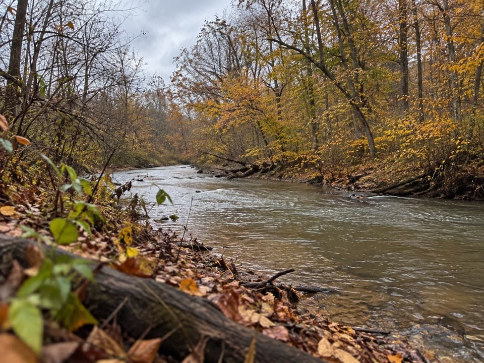 ModerateFurnace Run Trail1.9 mi · 1.3 hr · 1.1 mi awayMore than 90 stairs lead into a quiet wooded loop
 ModerateQuarry Trail1.4 mi · 1 hr · 1.4 mi awayOld millstones and quarry steps reward this short wooded walk.
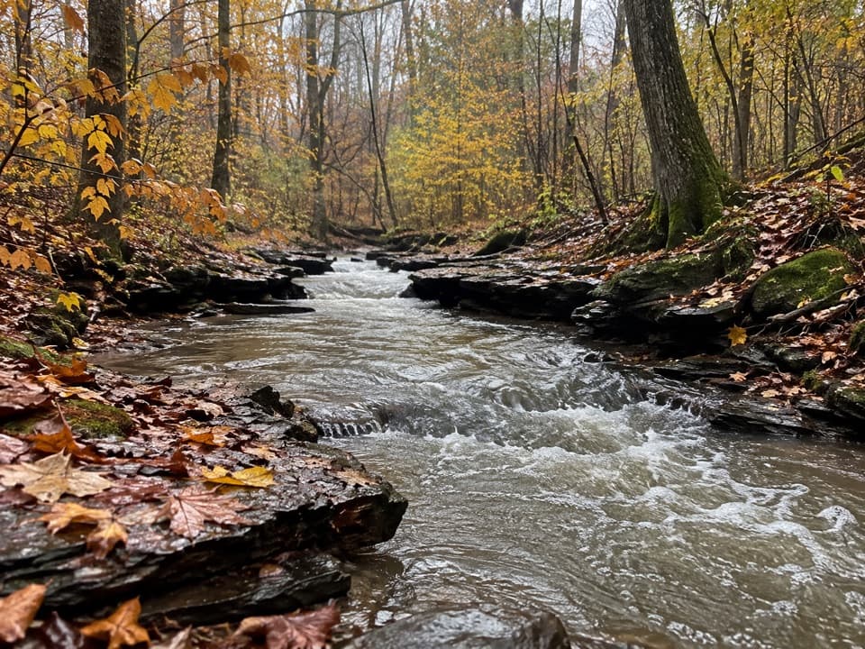 ModerateWetmore Trail4.6 mi · 2.5 hr · 1.7 mi awayA hilly woods loop with creeks and old farm paths
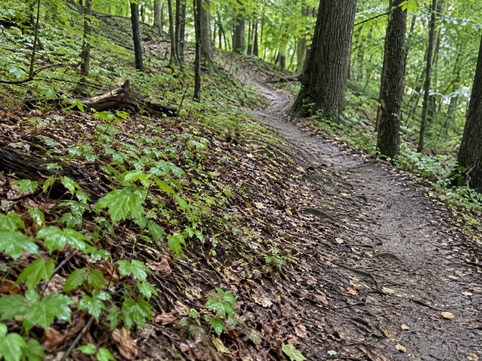 ModerateLanges Run Trail3.3 mi · 2.5 hr · 1.7 mi awayA hilly woodland trail shared with horses, creeks and wildflowers
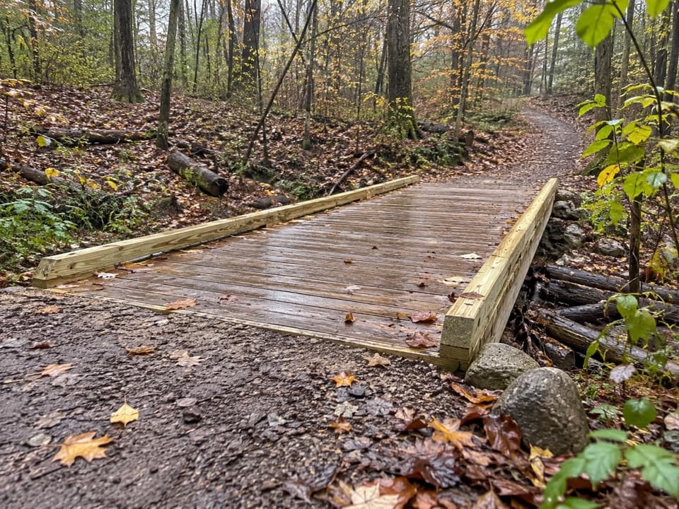 EasyTabletop Trail0.7 mi · 30 min · 1.7 mi awayA short dirt segment through the Wetmore trail network.
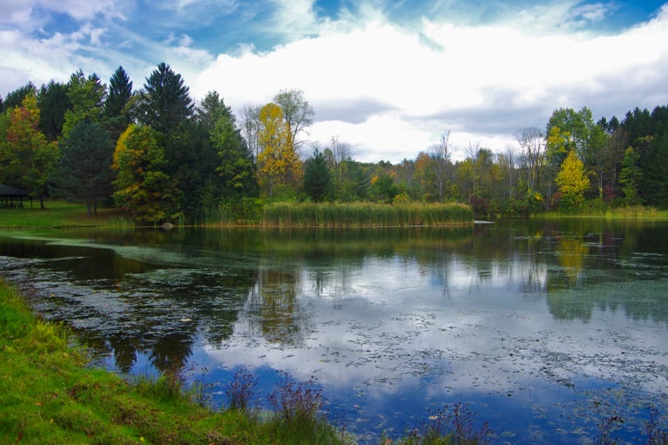 Sight · 1.1 mi awayHorseshoe PondA calm pond stop for fishing, a picnic, or a short walk.
 Sight · 1.1 mi awayGreenfield Berry FarmA 20-acre farm combines berry picking, cut flowers and hands-on tours.
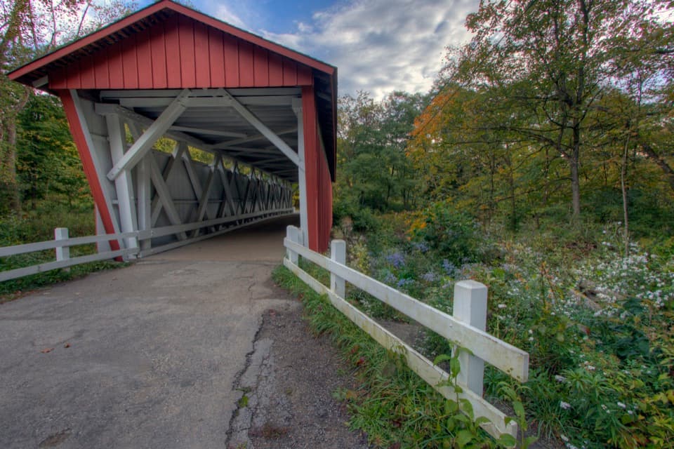 Sight · 1.1 mi awayEverett Covered BridgeSummit County's last covered bridge, rebuilt after a devastating flood.
 Store · 1.2 mi awayKeleman Point FarmA year-round stand for the farm’s rotating local goods.
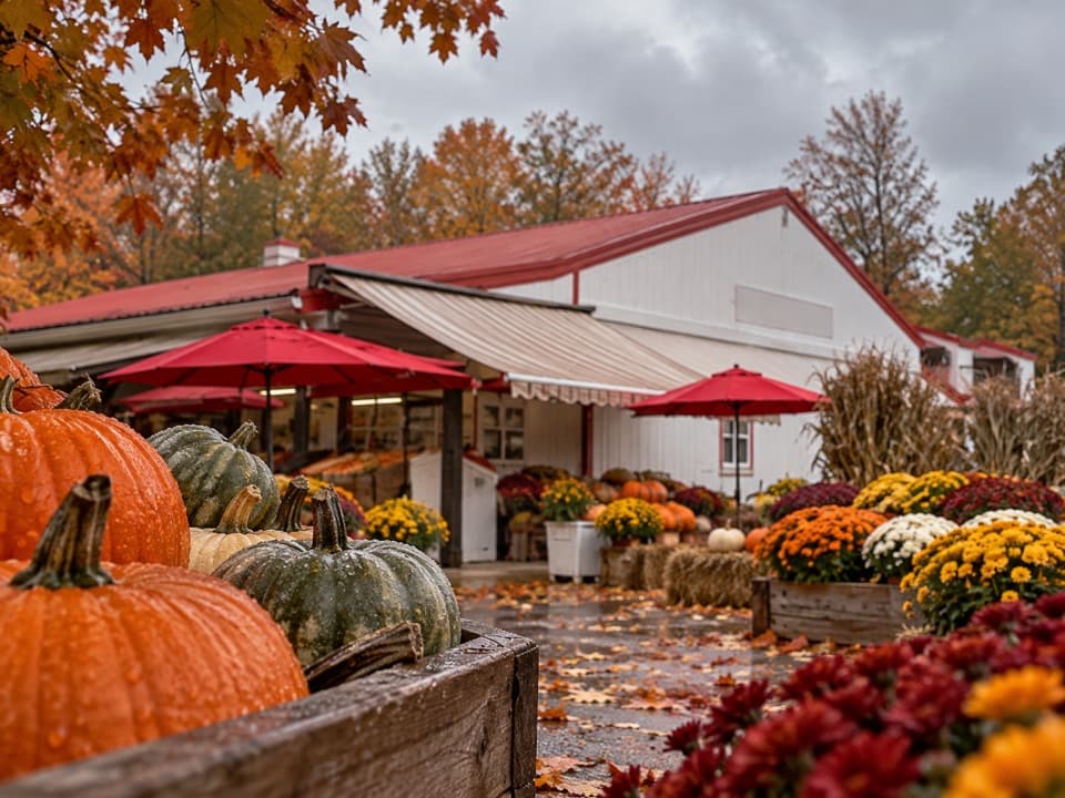 Store · 1.3 mi awaySzalay’s Farm & MarketA farm-market stop for sweet corn and fall fun.
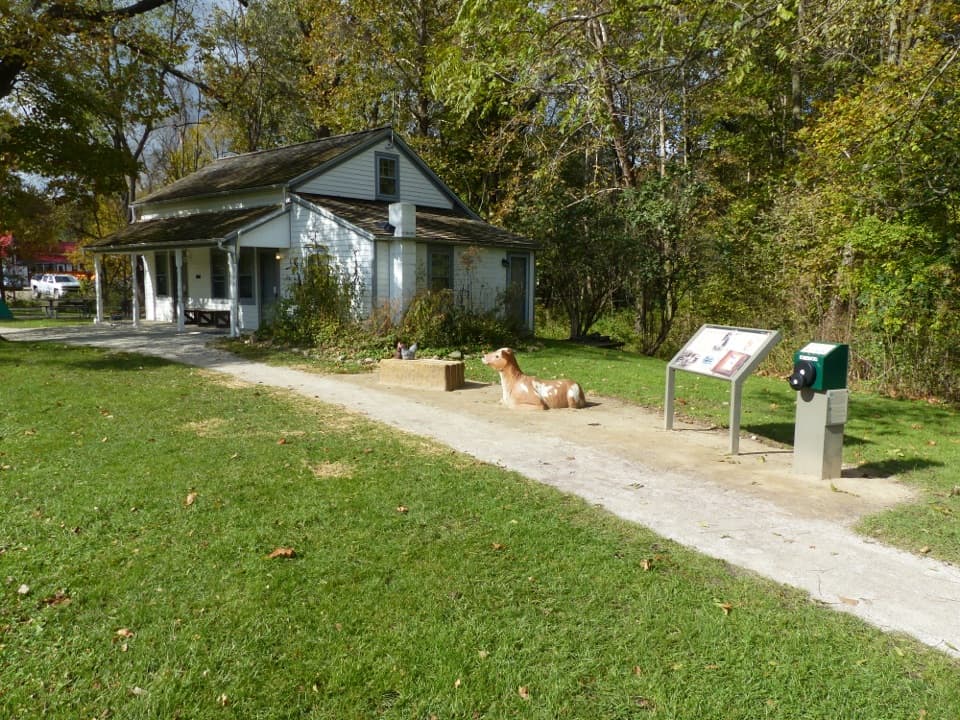 Visitor center · 1.3 mi awayHunt House and Outdoor ExhibitsA small historic house with hands-on stories of life in Everett.
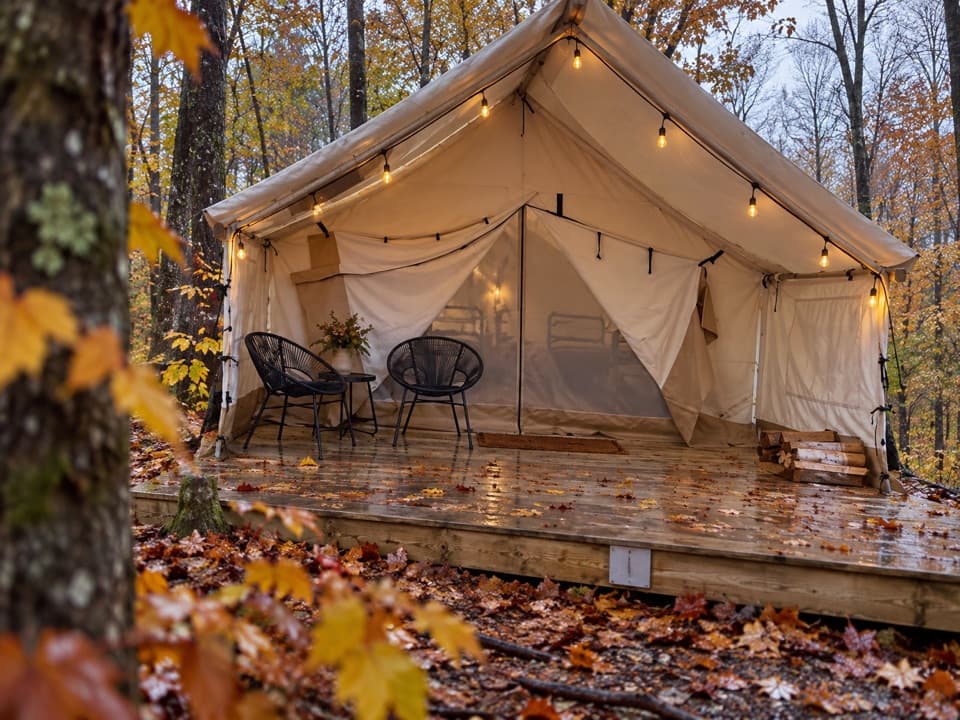 Campground · 1.4 mi awayValley OverlookA wooded base with furnished tents, cabins, and a west-facing valley view.
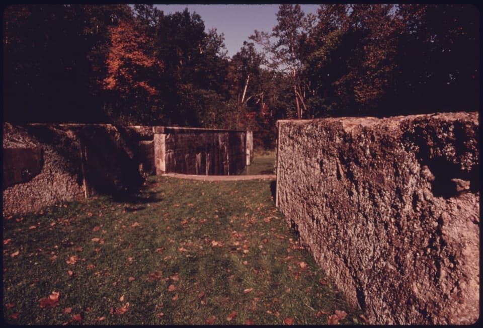 Sight · 1.5 mi awayDeep Lock QuarryA wooded hike to historic quarry walls and the canal's deepest lock.
Parkwolf’s Cuyahoga Valley ranking

The audio tour guide for the drive, plus offline maps, trails, and wildlife heatmaps for when the signal drops.