Easy

Tabletop Trail

Short bridle connector with rolling woods and frequent mud after rain.
Tabletop Trail, Cuyahoga Valley National Park
Distance0.7 mi
Typical time24 min
DifficultyEasy
PetsAllowed

Overview

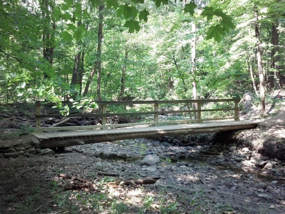
Tabletop is a 0.7-mile point-to-point bridle trail in the Wetmore area near Peninsula. Think of it as a short, rolling connector through quiet woods rather than a destination hike. It’s easy to moderate, with roughly 100 feet of elevation change, and it sees hikers, runners, snowshoers, and equestrians. Dogs are allowed on leash. Many people weave it into the 2.3-mile Table Top–Wetmore loop (about 265 feet of gain) or link it with longer Wetmore and Langes Run options.

Terrain and Conditions

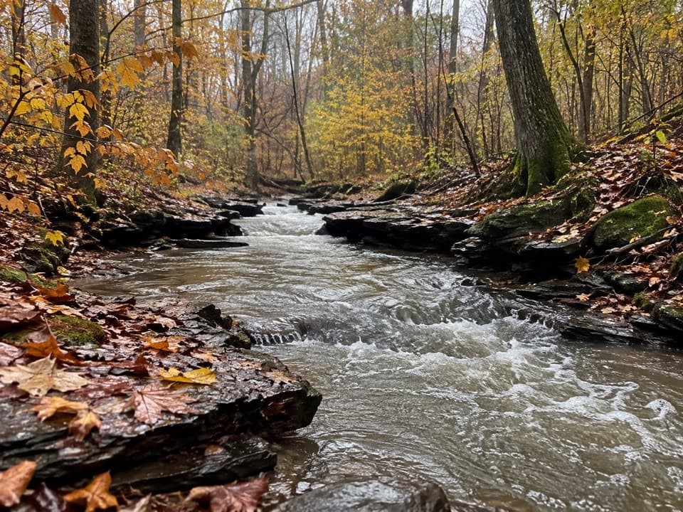
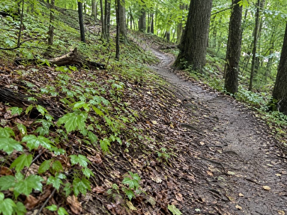
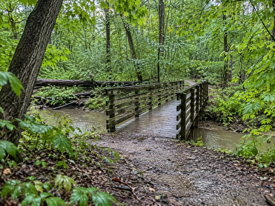
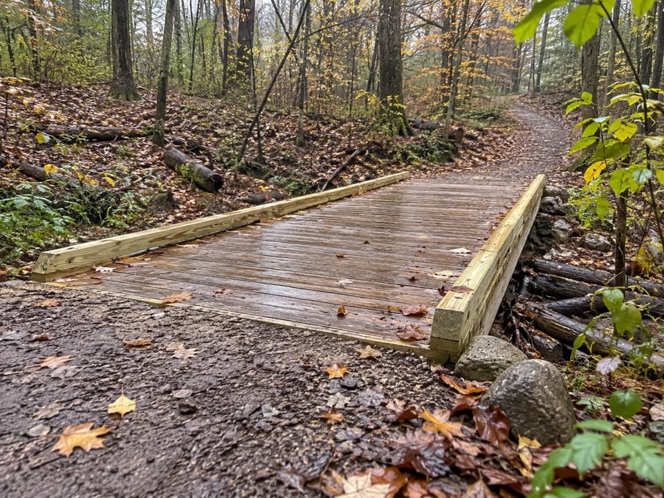
Underfoot is a mix of gravel, clay, and dirt with some narrow singletrack and gentle ups and downs. After rain or during freeze–thaw, expect slick, boot-sucking mud and hoof-churned tread—waterproof footwear with decent lugs pays off. Yield to horses (step off on the downhill side), keep dogs leashed (6 feet), and note that bikes aren’t allowed here. It’s not wheelchair accessible.

A Little Backstory

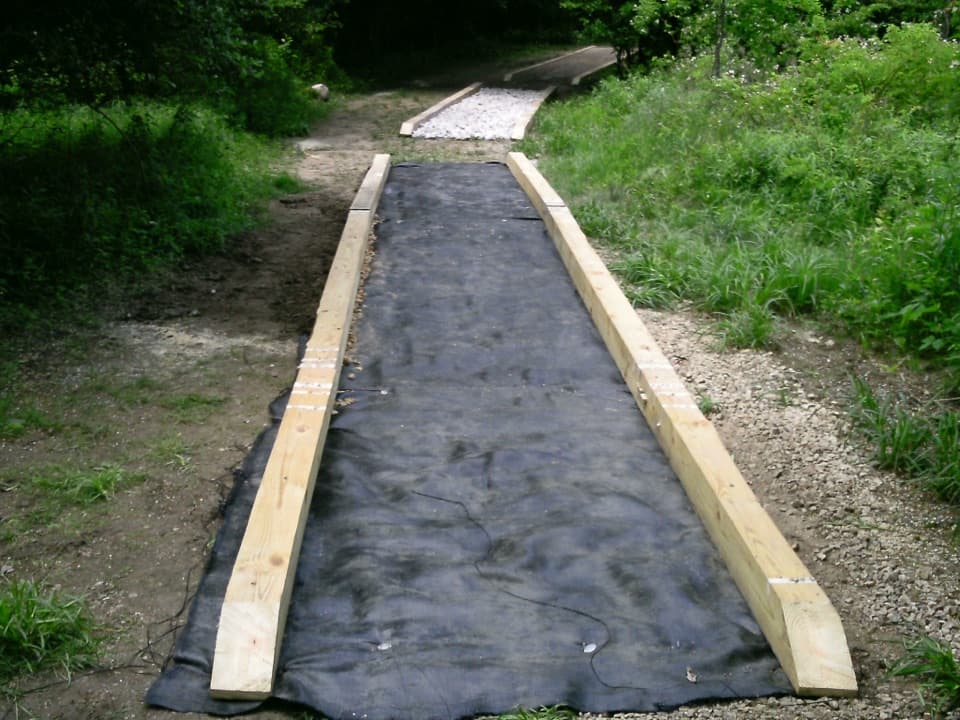
Flooding in 2003 badly damaged this corner of the system, and the park and partners rebuilt and realigned the corridor years later. Today, Tabletop functions as a short connector within roughly 9 miles of local Wetmore trails and ties into about 20 miles of equestrian routes built on old farm and logging roads.

How to Hike It

If you just want a stretch-the-legs stroll, do Tabletop as an out-and-back (1.4 miles total). For a sampler loop, pair it with Wetmore (around 2.3 miles total), or go longer on Wetmore or Langes Run loops if you want more hills. Crowds are typically light compared to the park’s headliners, and despite the “easy” label, the rolling grades and soft surface can still make it a decent workout.

What You’re Walking Over

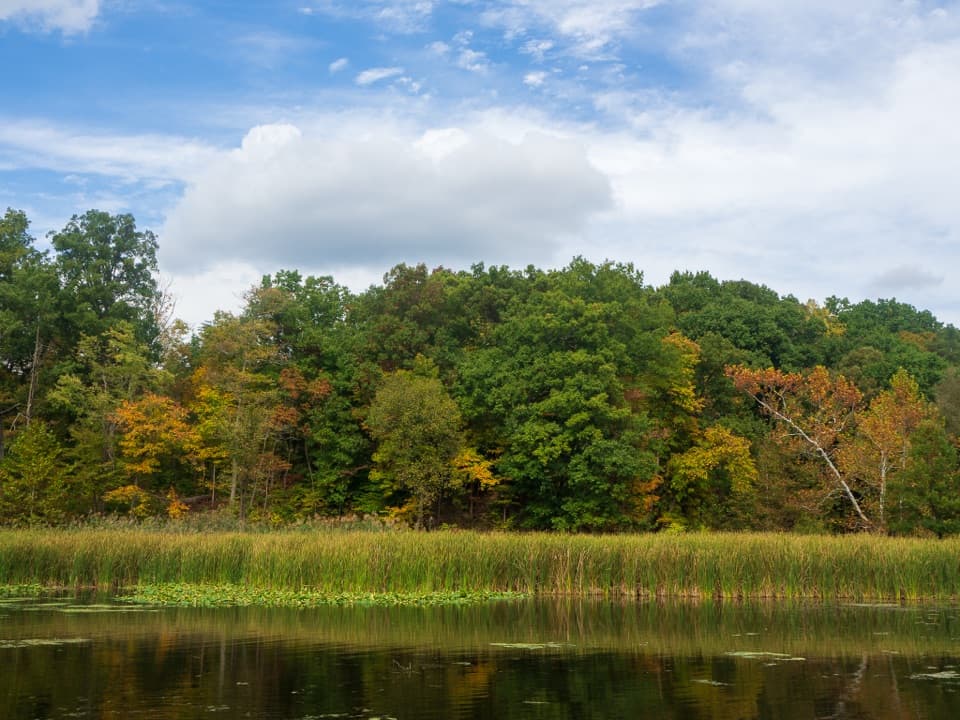
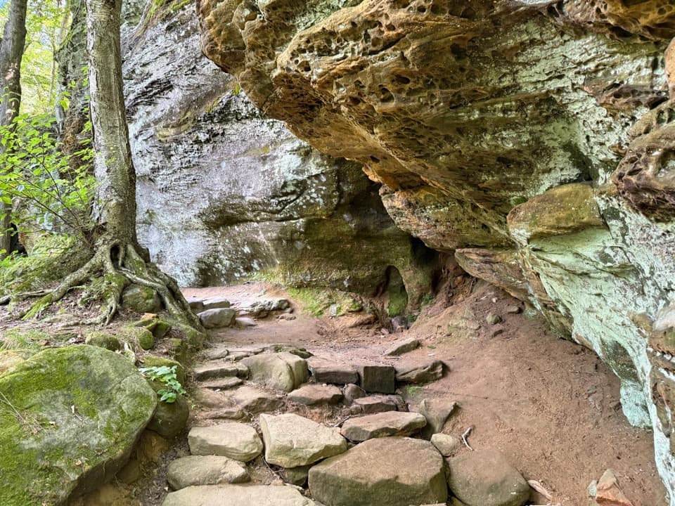
This landscape sits atop layers of ancient shale and sandstone shaped by glaciers that left clay-rich soils and scattered boulders. You won’t get dramatic rock walls here; it’s more about shaded forest and subtle glacial terrain. For big geology, the Ledges area shows off boulder-studded Sharon Conglomerate—worth pairing on the same day if you’re chasing rock scenery.

Best Time to Hike

Year-round works. Late spring through fall tends to be friendliest, but be choosy after heavy rain—this clay gets slick. Winter can be surprisingly good for snowshoeing when there’s solid snowpack. Bugs and ticks show up in warm months; cover up and check post-hike. Weekdays and mornings offer the most solitude.

Pros

  • Easy add-on to build custom loops across the Wetmore and Langes Run network
  • Often quieter than the park’s marquee trails, even on fair weekends
  • Good winter snowshoe option when there’s solid snowpack

Cons

  • Clay-heavy tread gets muddy and slick, especially with horse traffic
  • Scenery is subtle; more connector than standalone destination

Parking

Use the Wetmore Trailhead on Wetmore Road roughly 0.5–0.6 miles east of Akron-Peninsula Road; overflow/alternative parking at Pine Hollow across Quick Road. From Peninsula, head south on Peninsula Road to Akron-Peninsula Road, then left on Wetmore Road.

Caution

Expect mud and slick clay after rain or thaw; yield to horses and step off on the downhill side; narrow singletrack in spots; dogs must be leashed (6 feet); no bikes; watch for ticks in warm months.

The Parkwolf tour guide sitting on a phone mounted in a car

Parkwolf Tour Guide

Like a tour guide in your car.

Bring Cuyahoga Valley trail research into the car, with offline maps and stories that play as you drive.Download Parkwolf on the App Store