1 active Cuyahoga Valley alert
- ClosureCuyahoga River closure and paddling hazardsDo not paddle through the river-mile-17 closure or the woody-debris hazard upstream of Lock 39.Official details
Sight · Cuyahoga Valley National Park
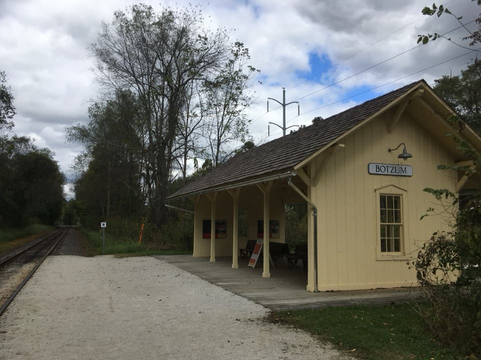
A train stop with a tiny exhibit on the valley's rail past.
Photo: Cards84664, CC BY-SA 4.0, via Wikimedia Commons
Overview
Map
Plan your stop

The highest, rockiest slopes around here are a summer buffet for grizzly bears.
Cuyahoga Valley Tour Guide
Parkwolf is a GPS audio tour guide for Cuyahoga Valley National Park. As you drive, it chimes in with what’s ahead: hidden gems, upcoming stops, history, geology, and wildlife, right through your car’s speakers.
See the Cuyahoga Valley audio tourRecorded for this place
Botzum Trailhead and Station“You're coming up on Botzum Trailhead, where a short walk north along the Towpath reaches Botzum Station.”
Plays as you drive up to Botzum Station in the Parkwolf Cuyahoga Valley Tour Guide.
More stories near here in the app
“Fantastic app with many points of information… It’s great to just turn on while you’re driving and it gives you an audio tour of the national Park. We love it!!!!”


Guide
Botzum Station is a covered platform on the Cuyahoga Valley Scenic Railroad, beside the Ohio & Erie Canal Towpath Trail just north of Botzum Trailhead. It is useful for hikers, runners and cyclists using the seasonal Explorer shuttle; by car, it is a brief stop for the shelter and its exhibit. Park at Botzum Trailhead and walk north along the path to the platform. The station is designated wheelchair accessible, but train-boarding details are limited, so check before relying on a step-free boarding.
The open-sided yellow shelter has a gray-shingled roof, benches and a wooden platform beside the track. Panels inside explain how the railroad shaped valley communities, with old photographs of Botzum. Accessible vault and composting restrooms are available. Beaver Marsh is 2.5 miles north along the Towpath, a natural next stop by foot or bike.
Botzum was a crossroads hamlet named for the prosperous Botzum family. It grew during the 19th century as a canal-era shipping and supply point; when the Valley Railway arrived, the hamlet had its own depot. Rail service began in 1880, carrying coal from the Tuscarawas Valley toward Cleveland, Akron and Canton, along with passengers. The present shelter echoes the former depot, but it is not historic, and the hamlet itself no longer survives.
Wildlife
 321 sightingsBald EagleMost seen around 7 AMSighting map
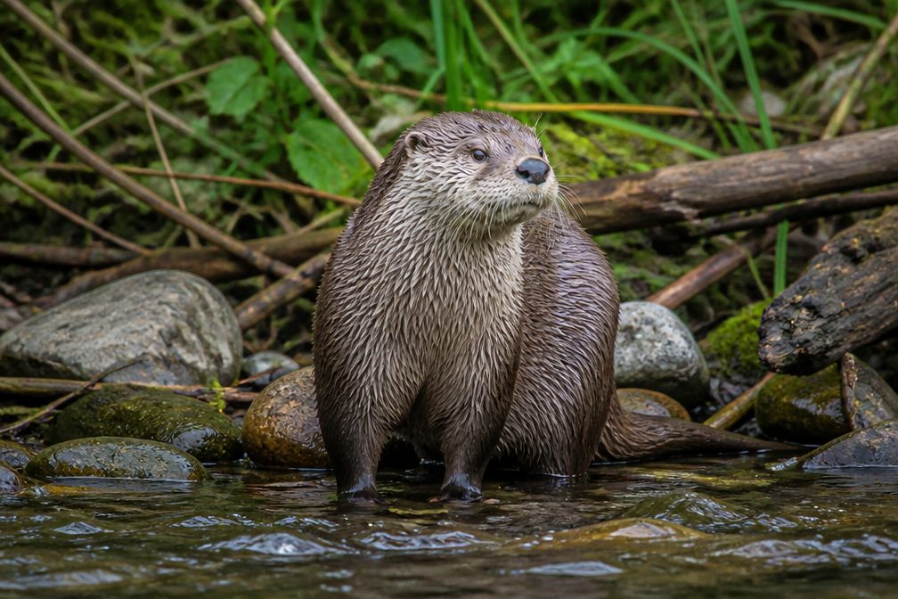 12 sightingsRiver OtterMost seen around 7 AMSighting map
 103 sightingsCoyoteMost seen around 7 PMSighting map
 251 sightingsBeaverMost seen around 8 PMSighting map
 498 sightingsWhite-tailed DeerMost seen around 6 AMSighting map
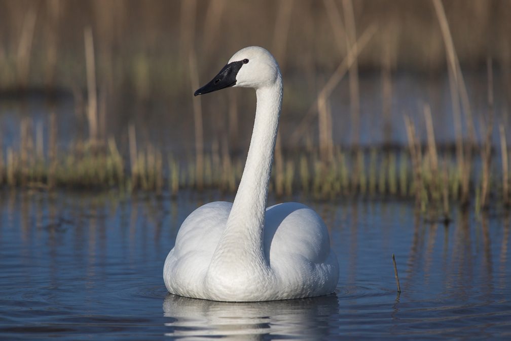 104 sightingsTrumpeter SwanMost seen around 5 PMSighting map
Sighting maps show where each species has been reported across Cuyahoga Valley. Wildlife moves, so no sighting is guaranteed.
Keep exploring
 ModerateDeer Run Trail2 mi · 1.3 hr · 1.1 mi awayRolling woods, Yellow Creek, and an old farm barn.
 EasyBeaver Marsh Walk0.6 mi · 30 min · 1.7 mi awayA level Towpath stroll to Beaver Marsh's wildlife boardwalk.
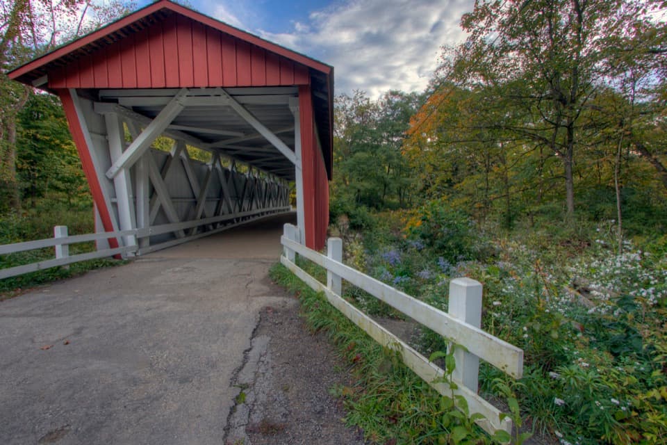
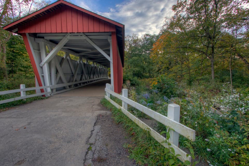 ChallengingPerkins Trail3.8 mi · 2.5 hr · 3.1 mi awayA covered bridge gives way to two rough creek crossings.
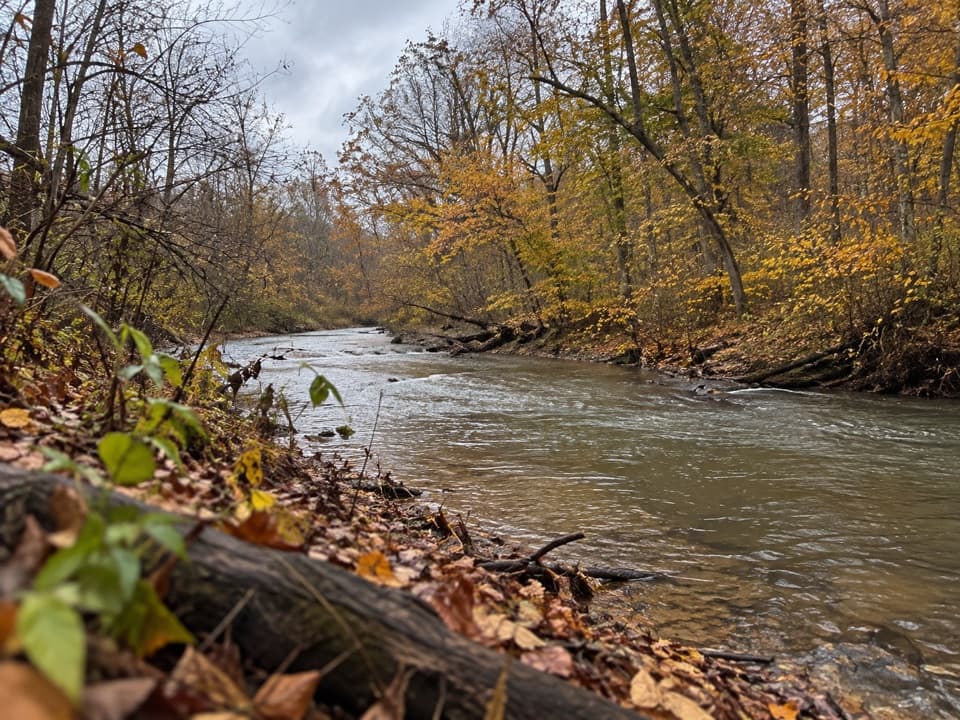 ModerateFurnace Run Trail1.9 mi · 1.3 hr · 3.1 mi awayMore than 90 stairs lead into a quiet wooded loop
 EasyDickerson Run Trail1.2 mi · 40 min · 3.9 mi awayA shaded, gradual connector from Langes Run to Wetmore.
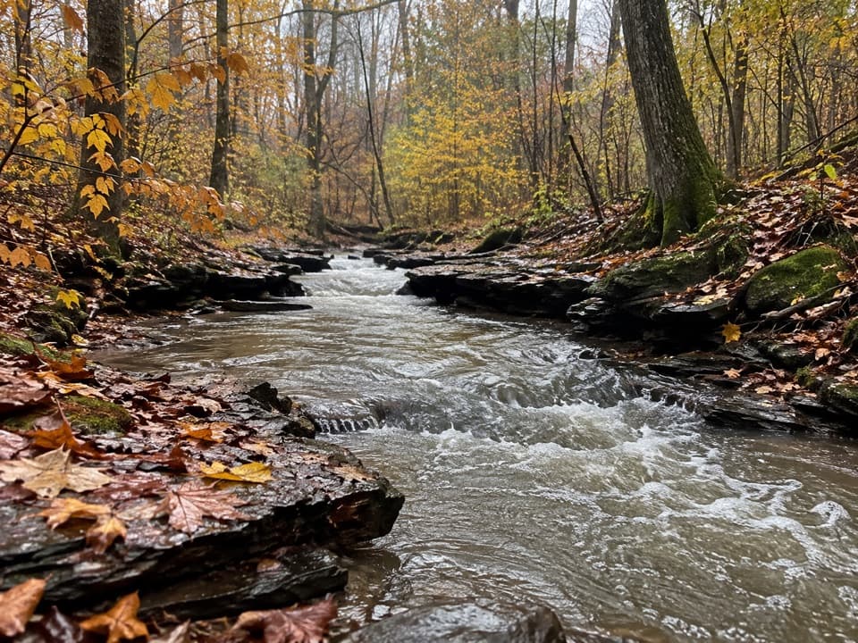 ModerateWetmore Trail4.6 mi · 2.5 hr · 4 mi awayA hilly woods loop with creeks and old farm paths
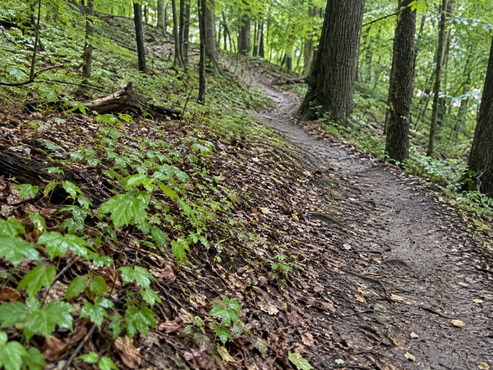 ModerateLanges Run Trail3.3 mi · 2.5 hr · 4 mi awayA hilly woodland trail shared with horses, creeks and wildflowers
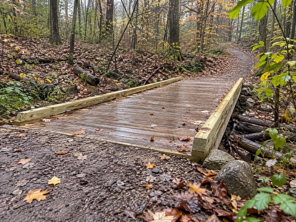 EasyTabletop Trail0.7 mi · 30 min · 4 mi awayA short dirt segment through the Wetmore trail network.
 Sight · 0.3 mi awayBath Road HeronryA spring heron nursery watched from a roadside pullout.
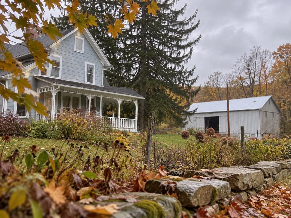 Store · 0.9 mi awayThe Neitenbach FarmA working vegetable and herb farm with an on-farm stand.
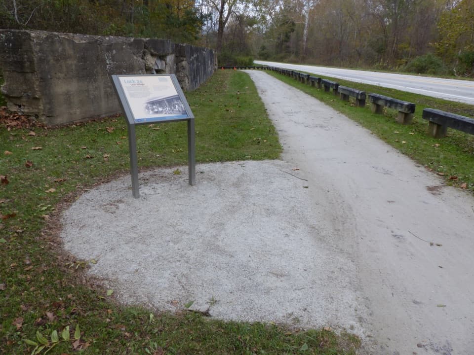 Sight · 0.9 mi awayLock 24One surviving canal wall marks the vanished village of Botzum.
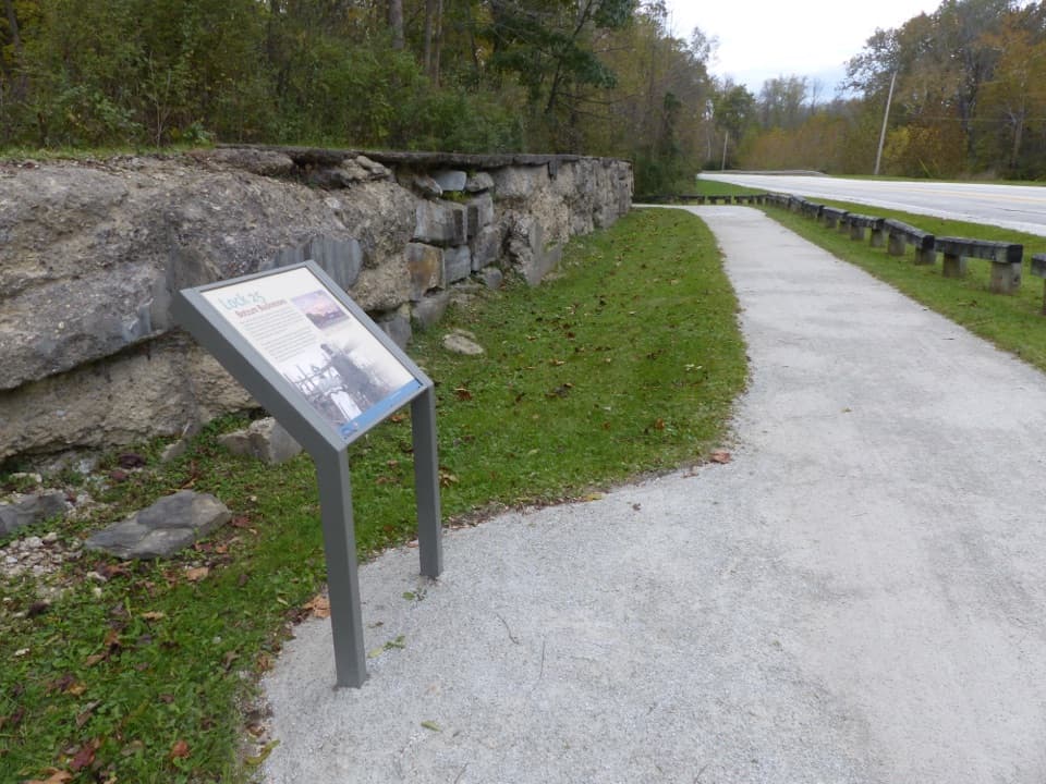 Sight · 1.1 mi awayLock 25A crumbling wall makes this canal's working past tangible.
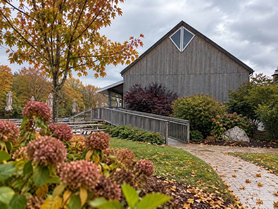 Restaurant · 1.8 mi awaySarah’s VineyardWood-fired pizza, estate wine and a pre-Civil War barn frame.
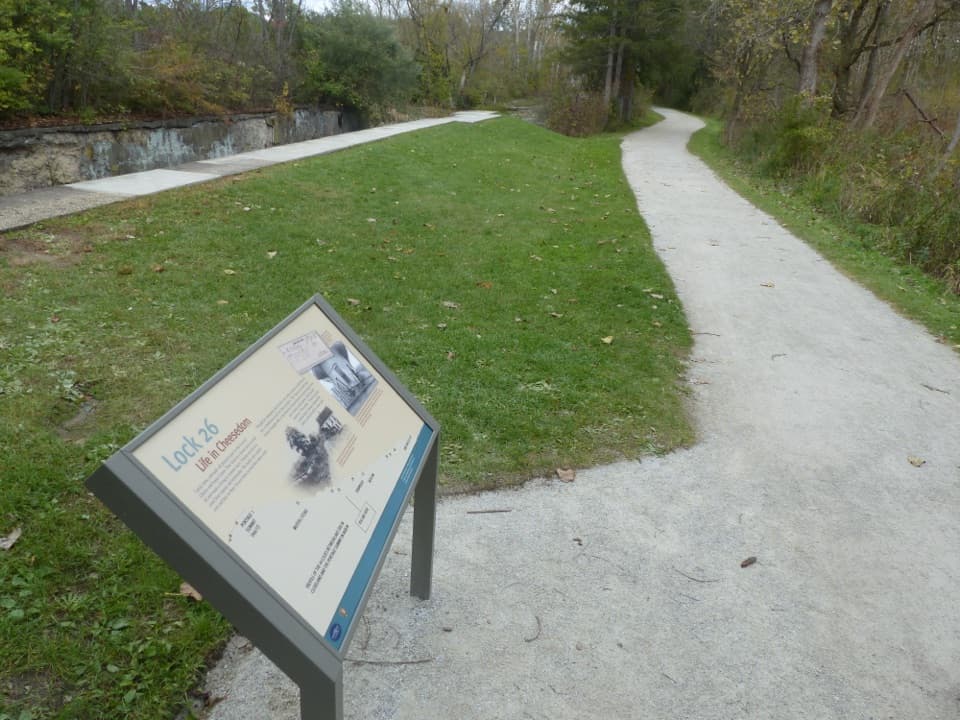 Sight · 1.8 mi awayLock 26A modest canal lock with a surprisingly human dairy-era story.Sight · 2 mi awayBeaver MarshA short boardwalk crosses a wetland shaped by returning beavers.
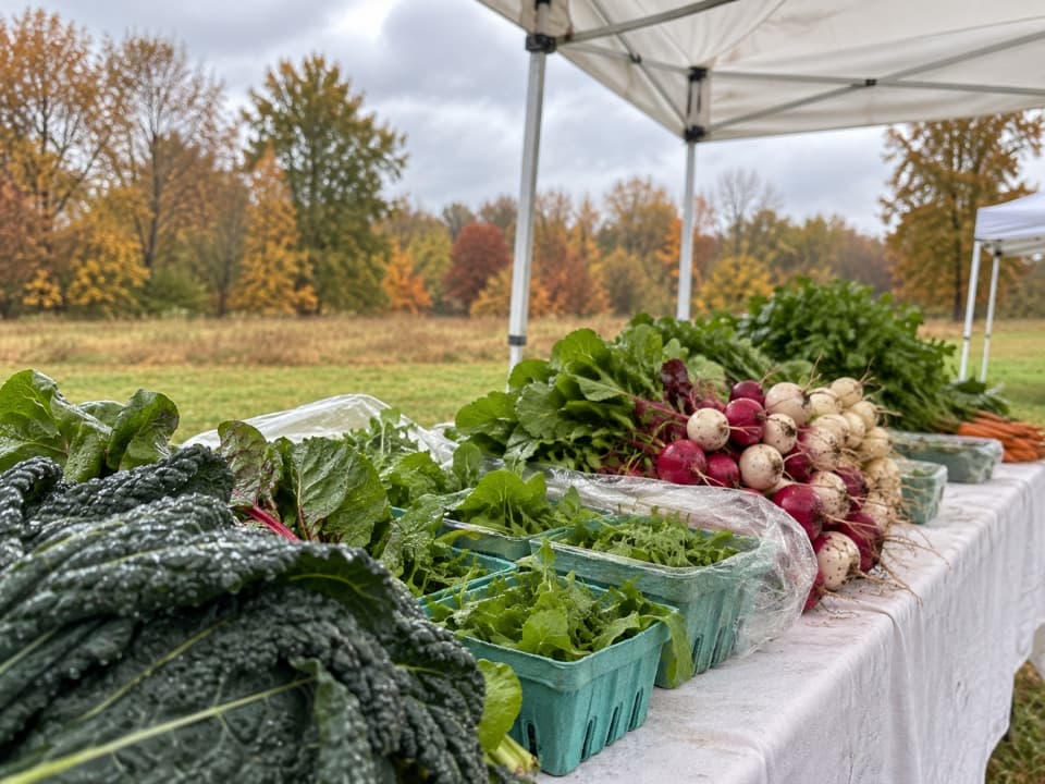 Sight · 2.1 mi awayHowe MeadowA seasonal market pairs local food with open-air summer concerts.
Parkwolf’s Cuyahoga Valley ranking

The audio tour guide for the drive, plus offline maps, trails, and wildlife heatmaps for when the signal drops.