Parking
Use Brushwood Area parking at 4955 Townsend Road, Richfield. The Rock Creek Trail entrance begins by the lot; restrooms, drinking water, picnic sites and the enclosed lodge are nearby.
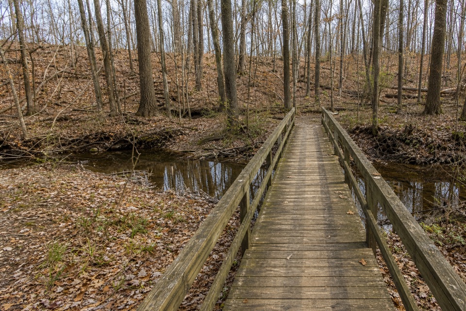
Cuyahoga Valley National Park, OH
A short creek loop with a footbridge under hardwood trees.
Overview
Map & elevation
Plan your hike

The highest, rockiest slopes around here are a summer buffet for grizzly bears.
Cuyahoga Valley Tour Guide
Parkwolf is a GPS audio tour guide for Cuyahoga Valley National Park. As you drive, it chimes in with what’s ahead: hidden gems, upcoming stops, history, geology, and wildlife, right through your car’s speakers.
Recorded for this area
How a Jay Plants an Oak“An oak seed can travel through the valley in a blue jay’s throat. In fall, jays gather acorns, carrying some in an expandable part of the throat and another in the bill.”
Plays on the road 0.6 mi from the trailhead in the Parkwolf Cuyahoga Valley Tour Guide.
More stories near here in the app
“Fantastic app with many points of information… It’s great to just turn on while you’re driving and it gives you an audio tour of the national Park. We love it!!!!”


Trail guide
Rock Creek Trail is a 1.3-mile easy loop from the Brushwood Area of Furnace Run Metro Park. It follows Rock Creek through mature woods, crosses a bridge and returns on the opposite bank. Plan on about 40 minutes at an easy pace. It is a good choice for a brief walk centered on water and woods rather than a long hike.
Start at the Rock Creek Trail entrance by the Brushwood Area parking lot at 4955 Townsend Road. Restrooms, drinking water, picnic sites and an enclosed lodge are near the access point, not out on the loop. Leashed pets are allowed; leads must be no longer than eight feet and pets must remain under control.
The mostly natural-surface path runs beside the creek under sycamores and beech-maple woods. A bridge carries the route across the water, and the return follows the opposite bank, so you see the creek from both sides. The short crossing is the trail’s clearest feature; there is no need to extend onto Old Mill Trail to complete this loop.
Rock Creek is a tributary of Furnace Run. Rock Creek’s wooded corridor supports macroinvertebrates—small aquatic animals that live in and around the water. If you want a longer walk, Old Mill Trail connects in the Brushwood Area; the combined Rock Creek and Old Mill outing is a separate, longer route.
Wildlife
 319 sightingsBald EagleMost seen around 7 AMSighting map
 12 sightingsRiver OtterMost seen around 7 AMSighting map
 103 sightingsCoyoteMost seen around 7 PMSighting map
 248 sightingsBeaverMost seen around 8 PMSighting map
 492 sightingsWhite-tailed DeerMost seen around 6 AMSighting map
 99 sightingsTrumpeter SwanMost seen around 5 PMSighting map
Sighting maps show where each species has been reported across Cuyahoga Valley. Wildlife moves, so no sighting is guaranteed.
Keep exploring
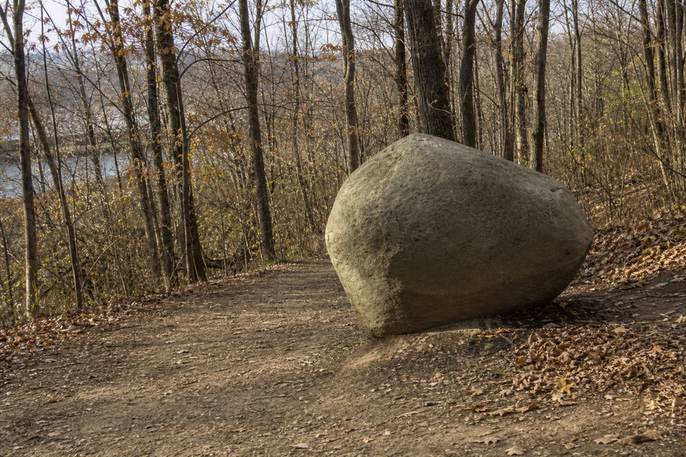 EasyOld Mill Trail1.4 mi · 45 min · 0.1 mi awayA short wooded loop past a marker honoring the Brush family.
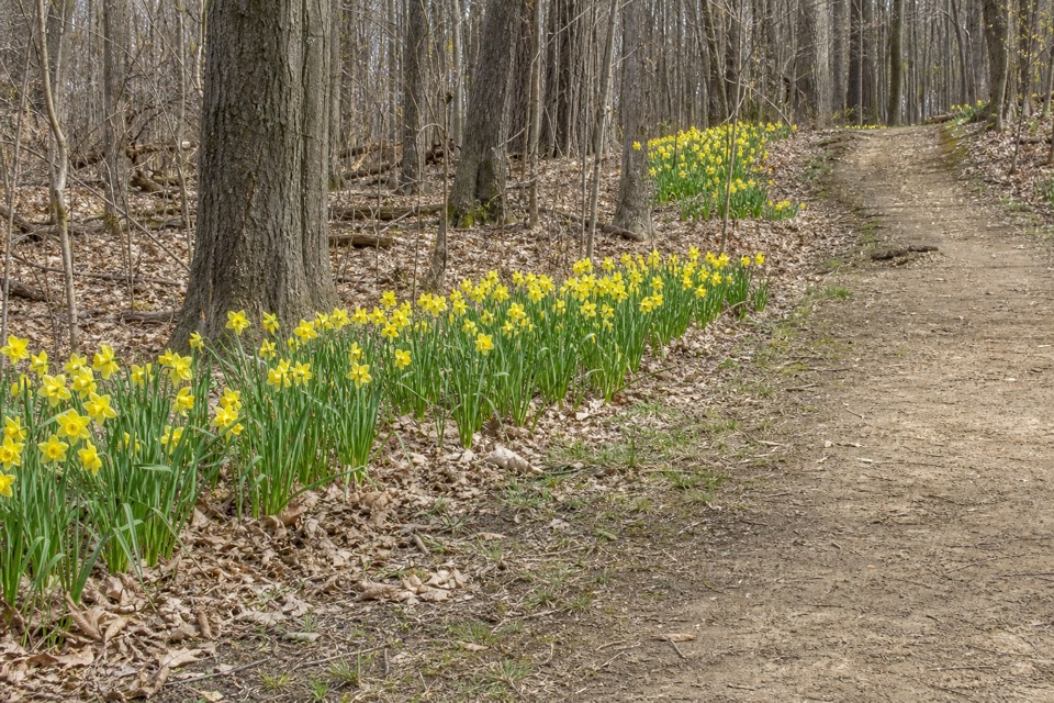 EasyDaffodil Trail0.8 mi · 30 min · 1.4 mi awayA gentle spring loop among thousands of daffodils.
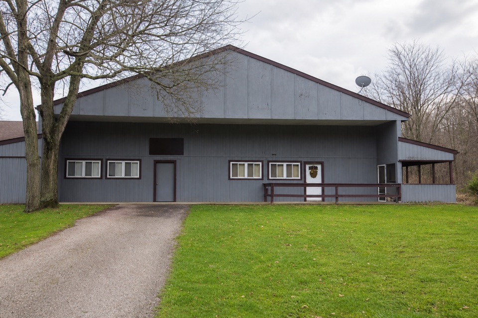 EasySouth Bridle Loop1.6 mi · 1 hr · 2.7 mi awayA short bridle loop beside Brecksville Stables.
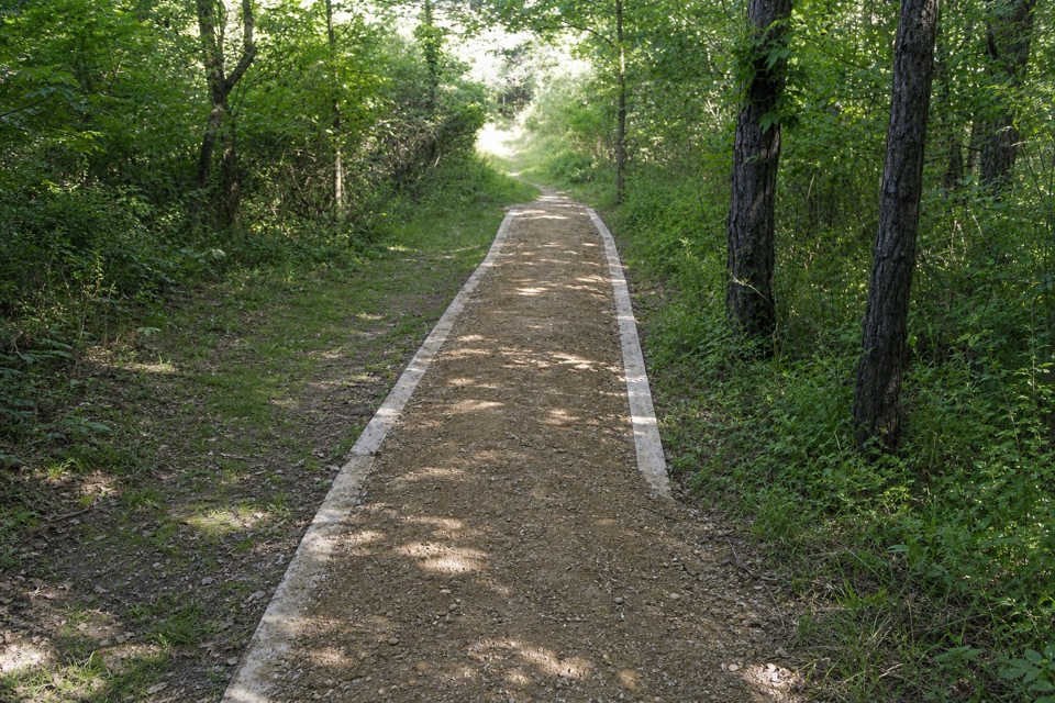 ChallengingValley Trail14.5 mi · 7 hr · 2.7 mi awayA long shared-use route from Brecksville toward Everett.
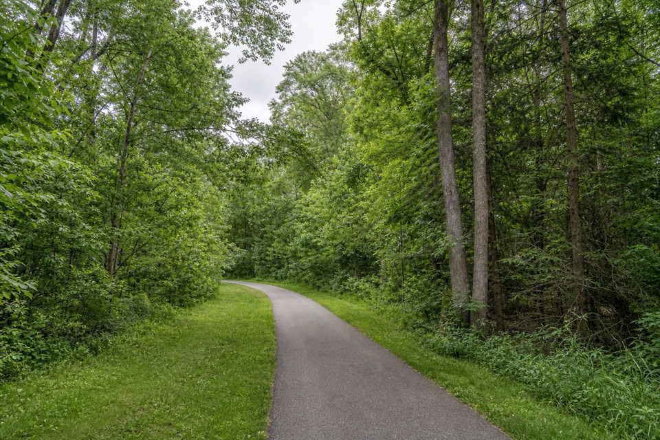 ModerateParkway Bridle Trail9.3 mi · 4.7 hr · 2.7 mi awayA long, mixed-surface bridle corridor shared by hikers and horses.
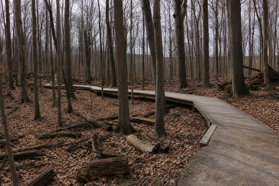 ModerateWhite Oak Trail Loop1.4 mi · 1 hr · 3.4 mi awayA short loop drops from the ridge into forested ravines.
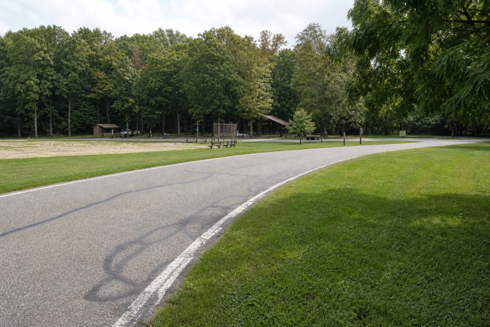 EasyNorth Bridle Loop2.9 mi · 1.5 hr · 3.4 mi awayA short loop through the shared bridle network.
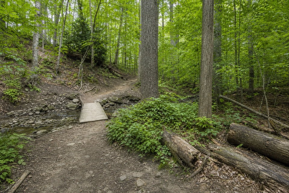 EasyWildflower Loop Trail0.8 mi · 30 min · 3.6 mi awayA short loop threading woods, spring flowers and Wallin Creek.
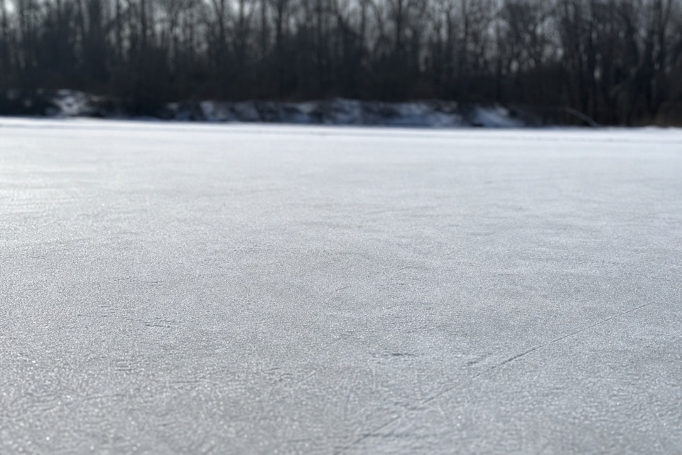 Sight · 0.1 mi awayBrushwood LakeA small fishing pond with a bigger story than its size.
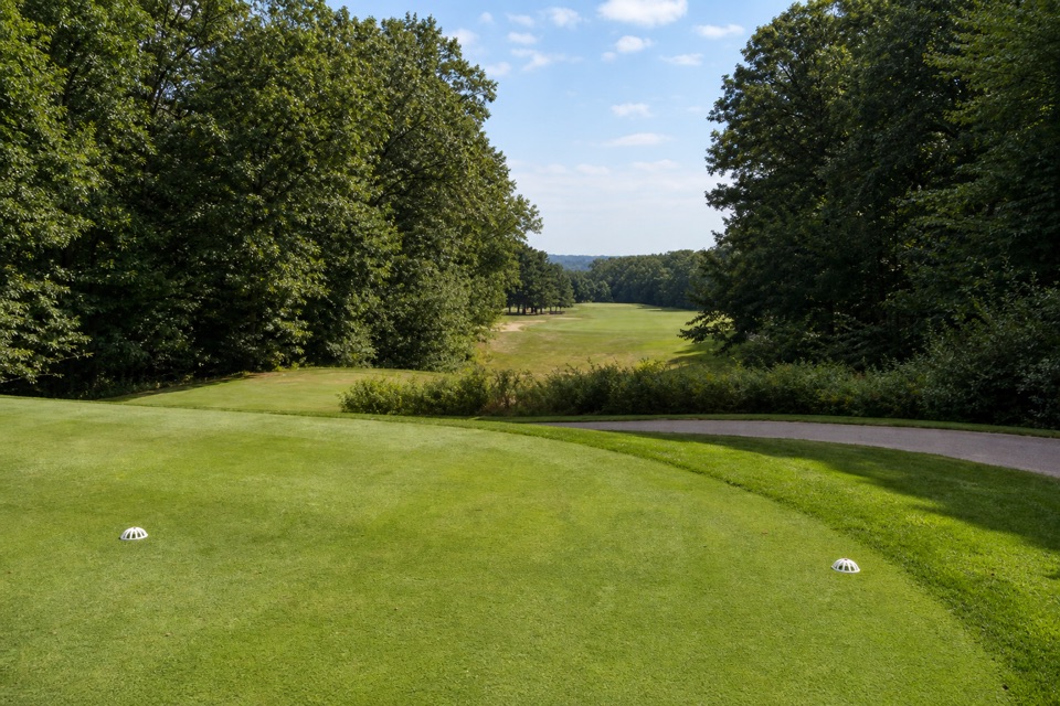 Sight · 2.6 mi awaySleepy Hollow Golf CourseA hilly Stanley Thompson course doubles as a winter sledding hill.
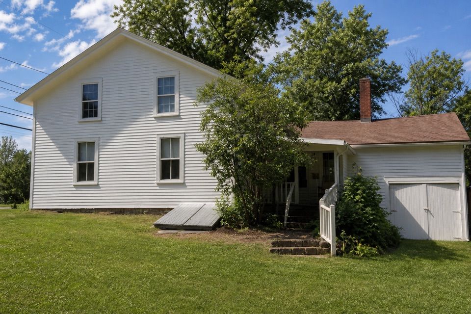 Sight · 2.8 mi awaySquire Rich MuseumSix rooms keep Brecksville’s local story inside a historic family home.
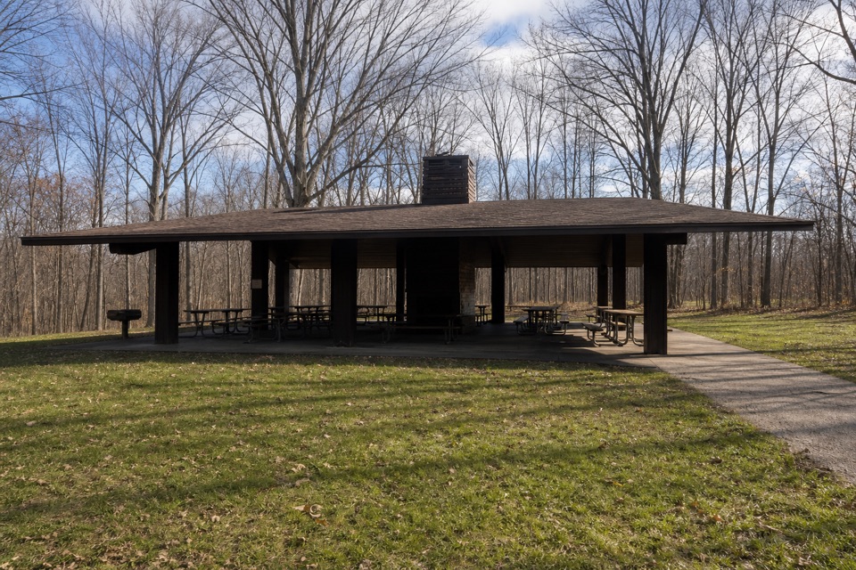 Picnic area · 2.8 mi awayOttawa Point Picnic AreaA reservable group shelter right on the Buckeye Trail.
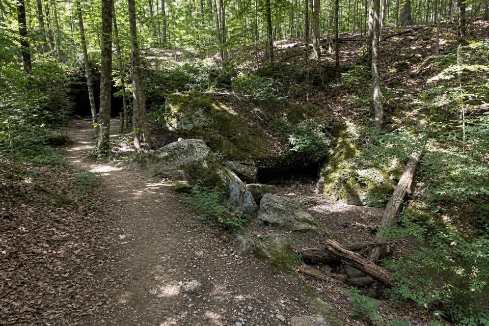 Sight · 2.9 mi awayDeer Lick CaveA shady sandstone overhang, reached by a short stair walk.
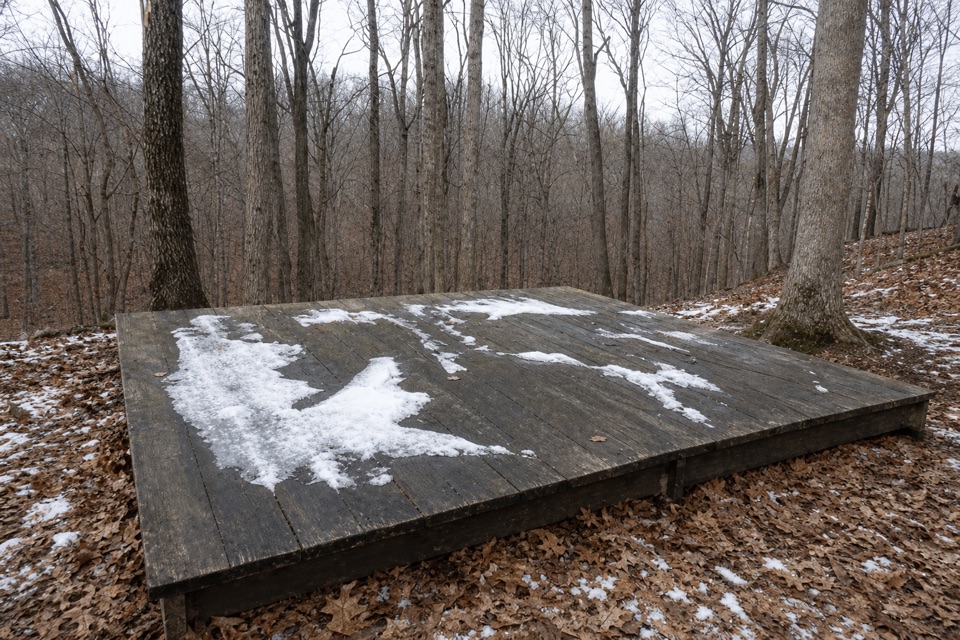 Campground · 3.2 mi awayOttawa Overlook Backcountry SitesThree hike-in tent sites share a basic backcountry kitchen
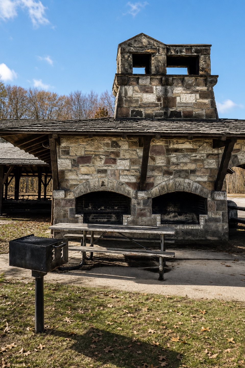 Picnic area · 3.3 mi awayOak Grove Picnic AreaA large, well-equipped pavilion for group picnics.
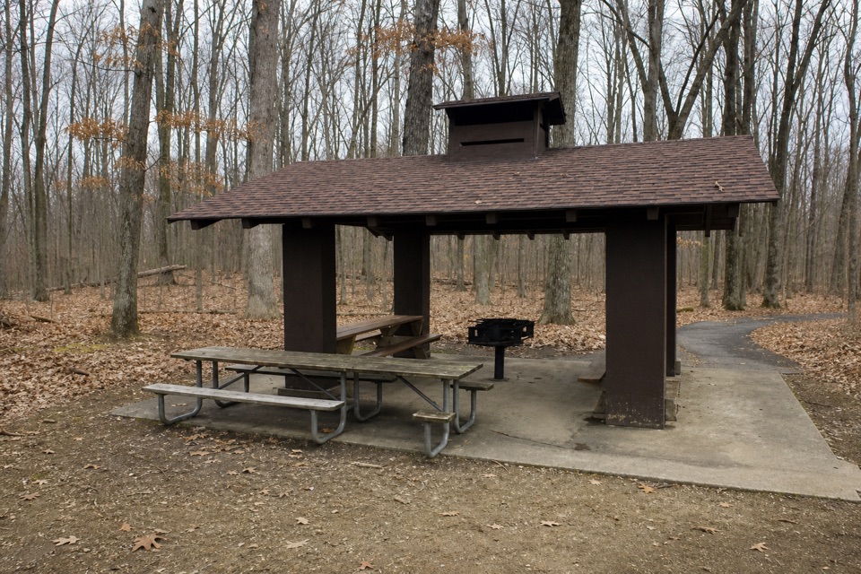 Picnic area · 3.4 mi awayMeadows Picnic AreaAn easy picnic base with a cookhouse and nearby trail access.
Parkwolf’s Cuyahoga Valley ranking

The audio tour guide for the drive, plus offline maps, trails, and wildlife heatmaps for when the signal drops.





