Parking
Start at Brecksville Stables Parking Area, the mapped east access. The line continues into Mill Stream Run Reservation, but no exact western lot or matching named trailhead is established; arrange pickup or turn around.
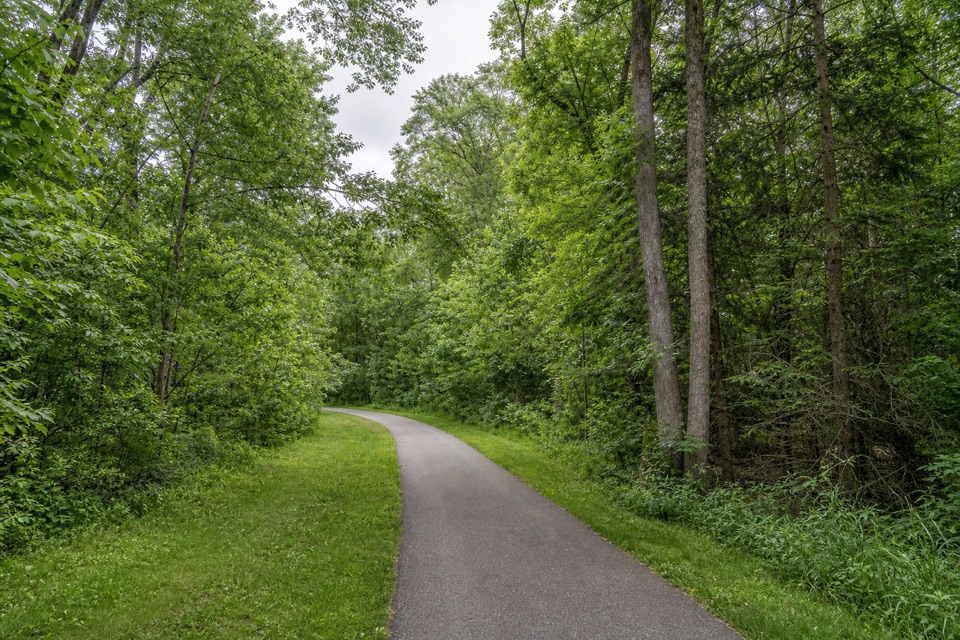
Cuyahoga Valley National Park, OH
A long, mixed-surface bridle corridor shared by hikers and horses.
Overview
Map & elevation
Plan your hike

The highest, rockiest slopes around here are a summer buffet for grizzly bears.
Cuyahoga Valley Tour Guide
Parkwolf is a GPS audio tour guide for Cuyahoga Valley National Park. As you drive, it chimes in with what’s ahead: hidden gems, upcoming stops, history, geology, and wildlife, right through your car’s speakers.
Recorded for this trailhead
Brecksville Stables and Valley Trail“You're coming up on Brecksville Stables, an access point for Valley Trail through woods and open fields toward Everett.”
Plays as you drive up to this trailhead in the Parkwolf Cuyahoga Valley Tour Guide.
More stories near here in the app
“Fantastic app with many points of information… It’s great to just turn on while you’re driving and it gives you an audio tour of the national Park. We love it!!!!”


Trail guide
Parkway Bridle Trail is a roughly 9.3-mile one-way line from Brecksville Stables toward Mill Stream Run Reservation. The official reservation map gives 8.5 miles within Brecksville only and shows trails continuing beyond its edges; this stored line follows the connected mapped corridor farther west. The map does not define this full line as a single outing, so treat it as a mapped point-to-point route, not a signed shuttle itinerary. Allow about 4.5–5 hours at a steady walking pace and arrange a pickup—or plan to retrace the distance.
Expect a mix of gravel or other unpaved bridleway and asphalt Valley Parkway Connector paths. The mapped line links named bridle segments with these foot-designated connectors, so the walk is not dirt trail from end to end. The route offers a long corridor through wooded parkland, but no signature viewpoint or specific scenic payoff is established along this full variant.
Cleveland Metroparks permits hikers on bridle trails; yield to horses. Brecksville Stables Parking Area is the clearest east access. The mapped line continues into Mill Stream Run Reservation, but its exact western pickup point is not named for this route. Dogs are allowed on leash: no longer than eight feet on Cleveland Metroparks land and six feet or shorter on NPS land. No dependable drinking-water stop is documented along the through-route.
Wildlife
 319 sightingsBald EagleMost seen around 7 AMSighting map
 12 sightingsRiver OtterMost seen around 7 AMSighting map
 103 sightingsCoyoteMost seen around 7 PMSighting map
 248 sightingsBeaverMost seen around 8 PMSighting map
 492 sightingsWhite-tailed DeerMost seen around 6 AMSighting map
 99 sightingsTrumpeter SwanMost seen around 5 PMSighting map
Sighting maps show where each species has been reported across Cuyahoga Valley. Wildlife moves, so no sighting is guaranteed.
Keep exploring
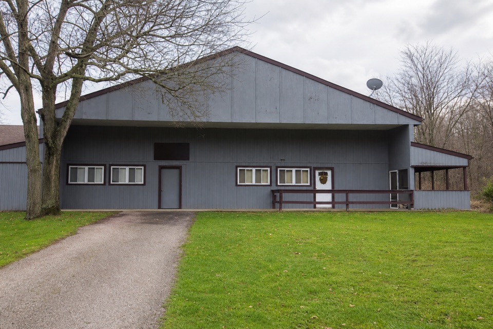 EasySouth Bridle Loop1.6 mi · 1 hr · At the trailheadA short bridle loop beside Brecksville Stables.
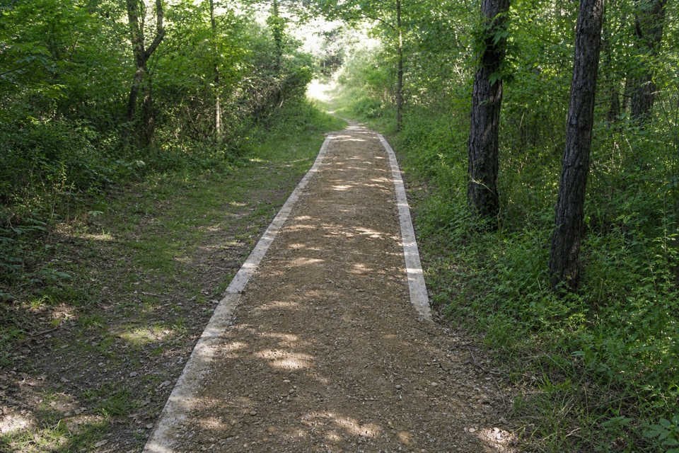 ChallengingValley Trail14.5 mi · 7 hr · At the trailheadA long shared-use route from Brecksville toward Everett.
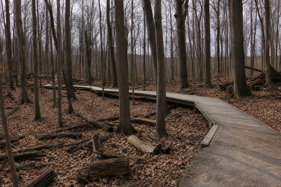 ModerateWhite Oak Trail Loop1.4 mi · 1 hr · 0.7 mi awayA short loop drops from the ridge into forested ravines.
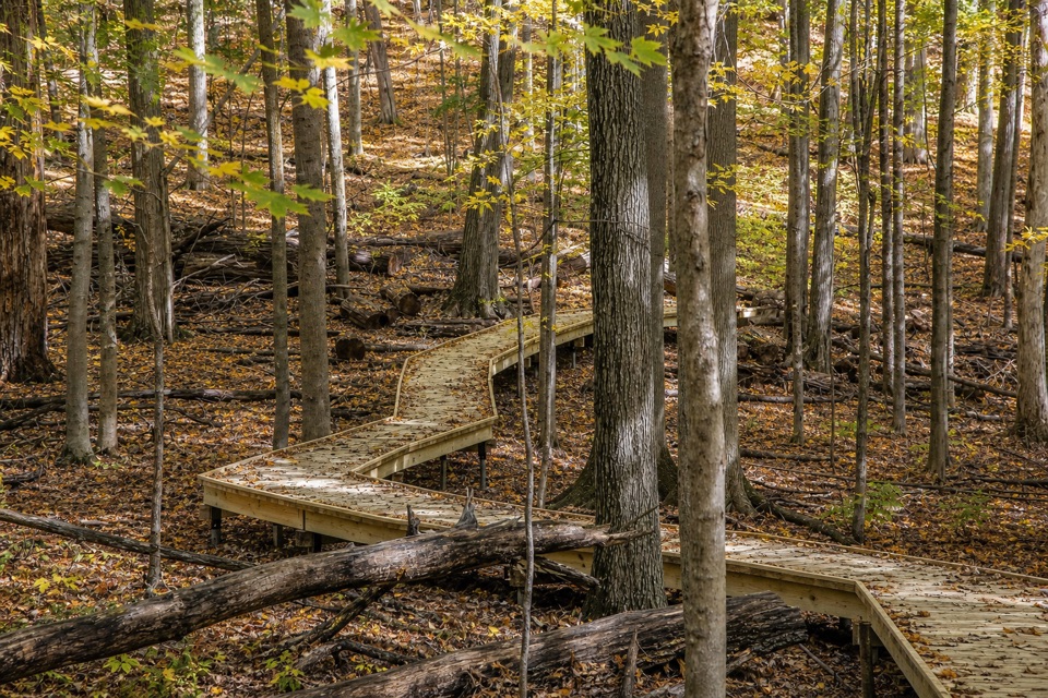 EasyMy Mountain Trail0.6 mi · 30 min · 1.2 mi awaySeven crossings and a boardwalk lead to a wooded valley overlook.
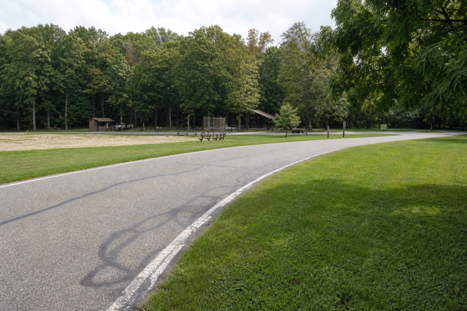 EasyNorth Bridle Loop2.9 mi · 1.5 hr · 1.2 mi awayA short loop through the shared bridle network.
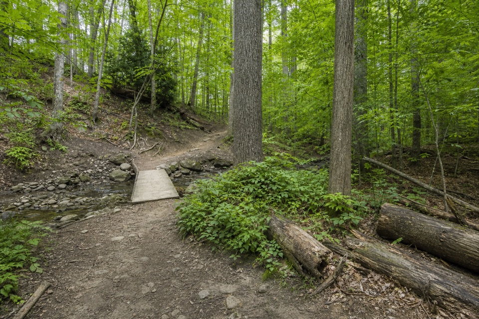 EasyWildflower Loop Trail0.8 mi · 30 min · 1.3 mi awayA short loop threading woods, spring flowers and Wallin Creek.
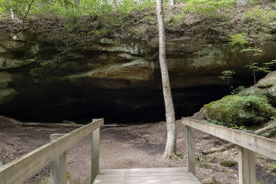 ModerateDeer Lick Loop4.2 mi · 2.5 hr · 1.4 mi awayA rolling forest loop leads to a broad sandstone overhang.
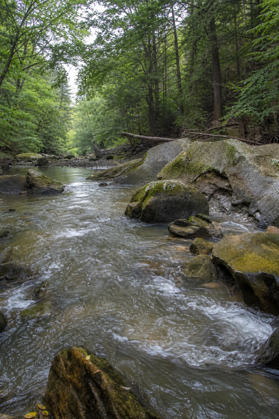 ModerateGorge Loop0.3 mi · 45 min · 1.5 mi awayGo down the stone stairs for Chippewa Creek and sandstone boulders.
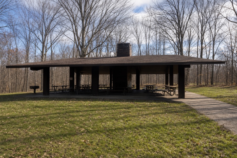 Picnic area · 0.2 mi awayOttawa Point Picnic AreaA reservable group shelter right on the Buckeye Trail.
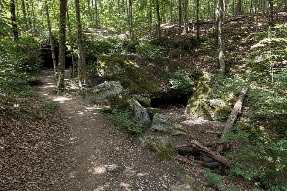 Sight · 0.4 mi awayDeer Lick CaveA shady sandstone overhang, reached by a short stair walk.
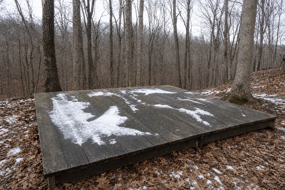 Campground · 0.6 mi awayOttawa Overlook Backcountry SitesThree hike-in tent sites share a basic backcountry kitchen
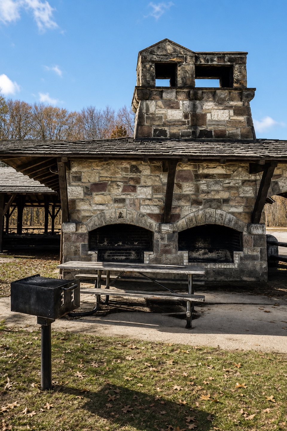 Picnic area · 0.6 mi awayOak Grove Picnic AreaA large, well-equipped pavilion for group picnics.
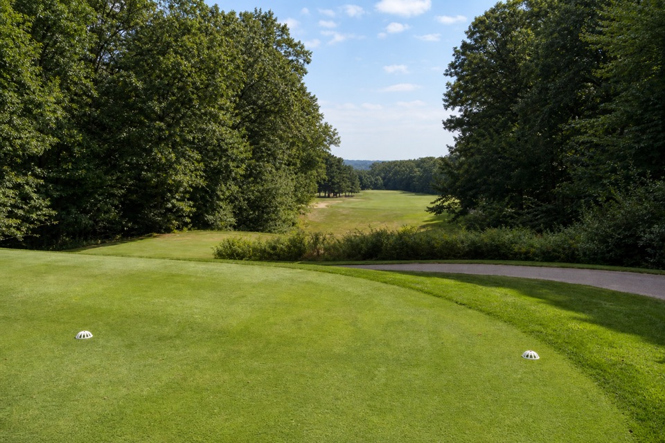 Sight · 1.1 mi awaySleepy Hollow Golf CourseA hilly Stanley Thompson course doubles as a winter sledding hill.
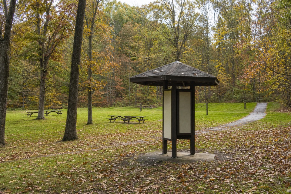 Picnic area · 1.1 mi awayPlateau Picnic AreaA shaded picnic stop with trails close by.
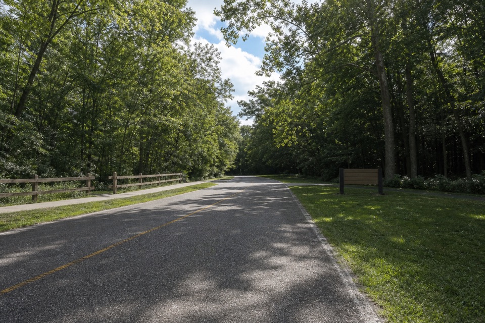 Picnic area · 1.1 mi awayLower Chippewa Creek Picnic AreaA shaded picnic stop beside the creek, close to nearby walks.
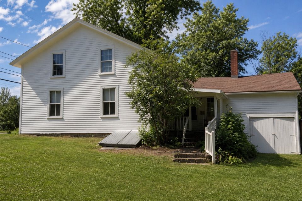 Sight · 1.1 mi awaySquire Rich MuseumSix rooms keep Brecksville’s local story inside a historic family home.
Parkwolf’s Cuyahoga Valley ranking

The audio tour guide for the drive, plus offline maps, trails, and wildlife heatmaps for when the signal drops.





