Parking
Use the small gravel lot at Daffodil Trailhead, 3100 Brush Road. It has limited space and can fill during the spring bloom.
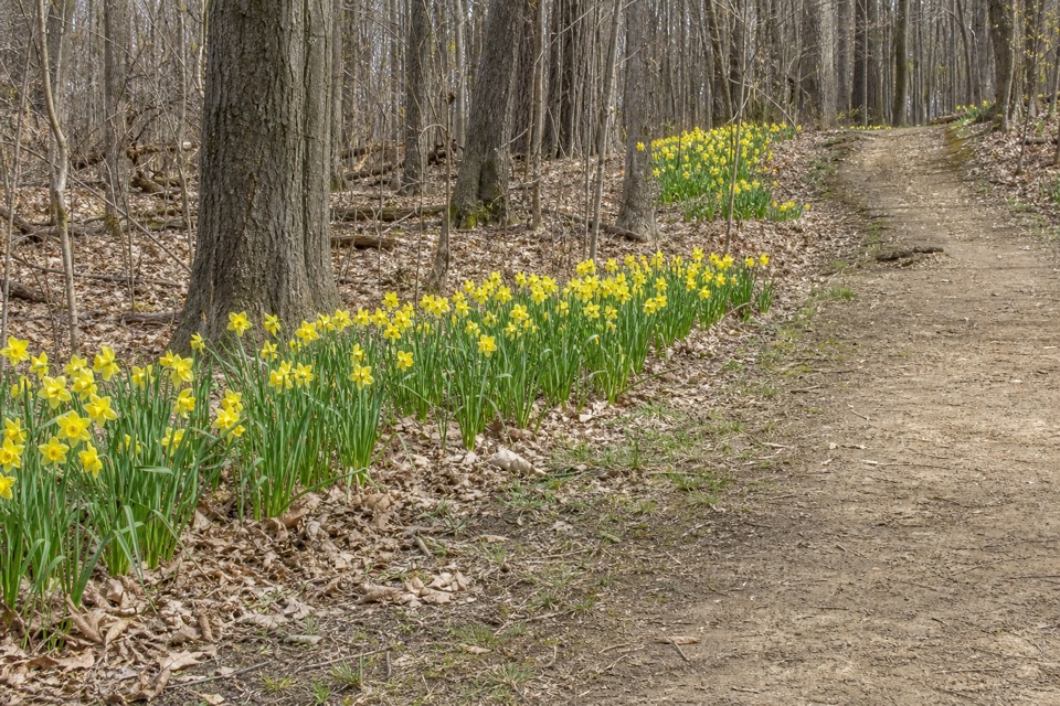
Cuyahoga Valley National Park, OH
A gentle spring loop among thousands of daffodils.
Overview
Map & elevation
Plan your hike

The highest, rockiest slopes around here are a summer buffet for grizzly bears.
Cuyahoga Valley Tour Guide
Parkwolf is a GPS audio tour guide for Cuyahoga Valley National Park. As you drive, it chimes in with what’s ahead: hidden gems, upcoming stops, history, geology, and wildlife, right through your car’s speakers.
Recorded for this trailhead
Daffodil Trail“You're approaching the Brush Road access for Daffodil Trail, a short woodland loop known for its spring flowers. Allow about half an hour for the eight-tenths-mile walk, with daffodil beds spread along the path.”
Plays as you drive up to this trailhead in the Parkwolf Cuyahoga Valley Tour Guide.
More stories near here in the app
“Fantastic app with many points of information… It’s great to just turn on while you’re driving and it gives you an audio tour of the national Park. We love it!!!!”


Trail guide
Daffodil Trail is an easy 0.8-mile loop from the 3100 Brush Road entrance to Furnace Run Metro Park, a local park unit within Cuyahoga Valley National Park. The natural-surface path winds through deciduous woods with daffodil beds spread along the walk. Give it about 30 minutes at an easy pace, longer if flowers are the point. This is a small spring outing, not a long hike.
The path reaches a junction on a short shared approach, makes the circuit, then returns to the lot along that same spur. It dips into low ground and climbs back out; visitors generally describe it as easy and mostly level, though the natural tread can be muddy after rain. Benches make this a good route to take slowly.
The daffodils run along the trail, not just at a single stop. The show shifts from year to year; peak is often around mid-April, though weather moves the timing. If you are driving mainly for flowers, check the park’s bloom update before you go. A 2015 account estimated about 40,000 daffodils, with nearly 30 types planted and 11,224 bulbs added since 1997.
The alternate name, H.S. Wagner Daffodil Trail, honors the district’s first director-secretary and former owner of the Brush Road property. Wagner planted the first bulbs in the late 1930s. After he sold the land in 1958, the district later discussed opening the area to visitors to see the flowers.
Park at the small gravel lot at 3100 Brush Road; it can fill during peak bloom. Picnic tables are shown near the trailhead. No drinking-water source is listed for this entrance, so bring what you need. Pets are allowed.
Wildlife
 319 sightingsBald EagleMost seen around 7 AMSighting map
 12 sightingsRiver OtterMost seen around 7 AMSighting map
 103 sightingsCoyoteMost seen around 7 PMSighting map
 248 sightingsBeaverMost seen around 8 PMSighting map
 492 sightingsWhite-tailed DeerMost seen around 6 AMSighting map
 99 sightingsTrumpeter SwanMost seen around 5 PMSighting map
Sighting maps show where each species has been reported across Cuyahoga Valley. Wildlife moves, so no sighting is guaranteed.
Keep exploring
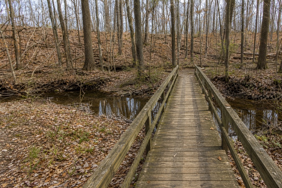 EasyRock Creek Trail1.3 mi · 42 min · 1.4 mi awayA short creek loop with a footbridge under hardwood trees.
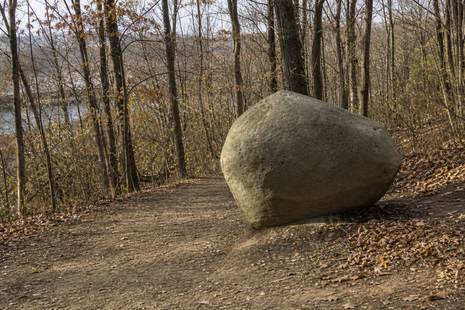 EasyOld Mill Trail1.4 mi · 45 min · 1.5 mi awayA short wooded loop past a marker honoring the Brush family.
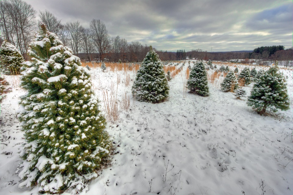 ModerateTree Farm Trail2.8 mi · 1.5 hr · 2.9 mi awayOld field rows and recovering woods make a quietly changing loop.
 ModerateBlue Hen Falls Trail3 mi · 1.5 hr · 3.1 mi awayA steep Buckeye Trail climb ends at a 15-foot waterfall.
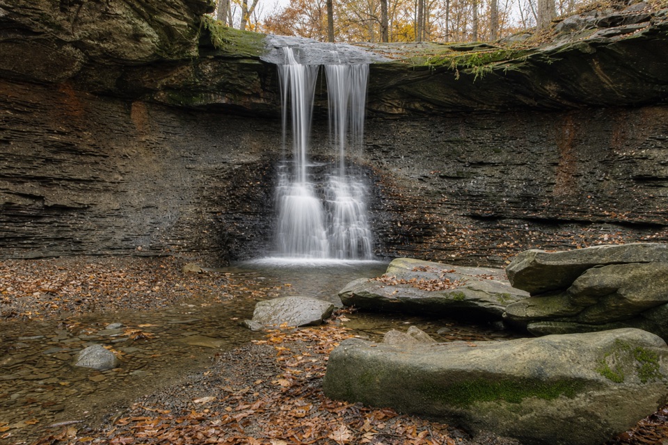 ModerateButtermilk Falls via Blue Hen Falls3.5 mi · 2.5 hr · 3.1 mi awayTwo waterfalls, steep ridges, and a rough creekside finish.
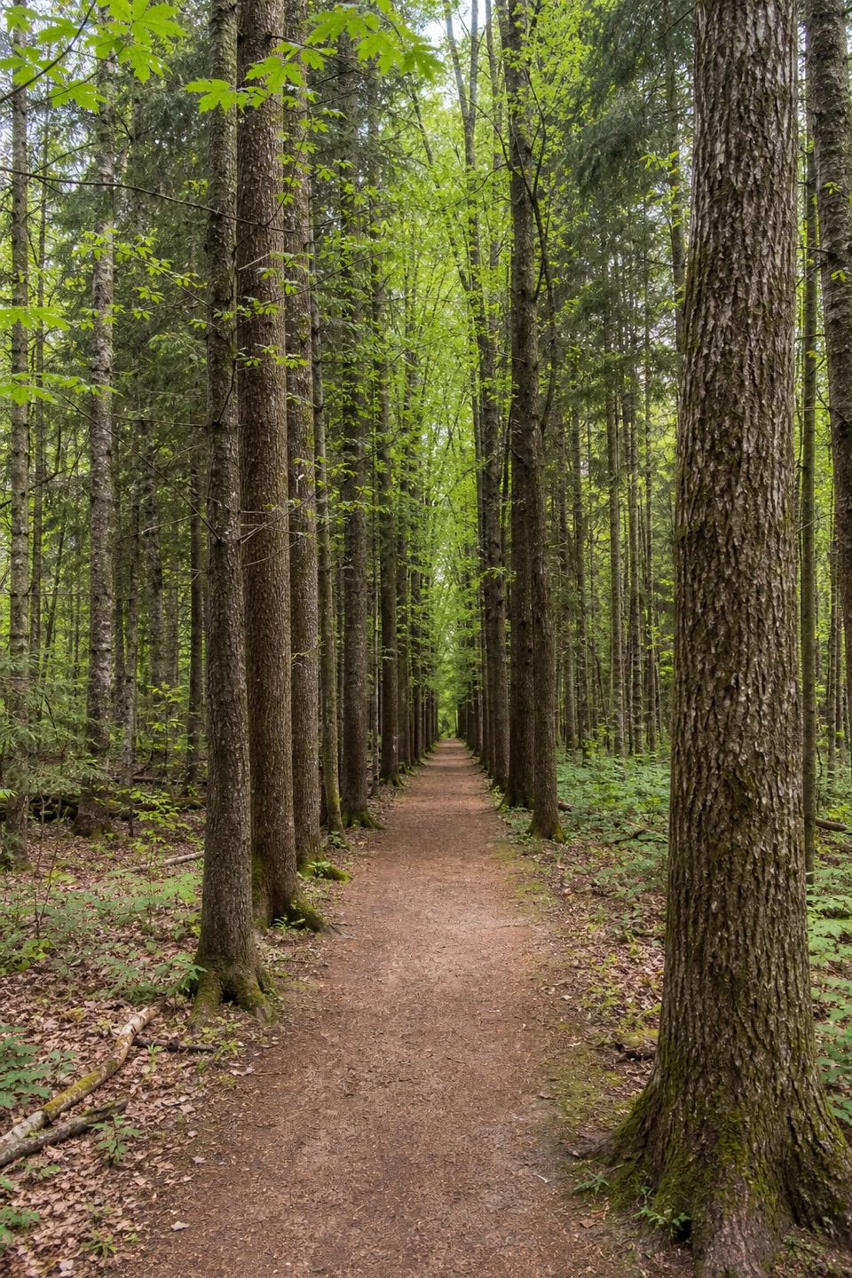 ModeratePlateau Trail4.6 mi · 2.5 hr · 3.2 mi awayA long woodland loop past three ponds and a pine corridor
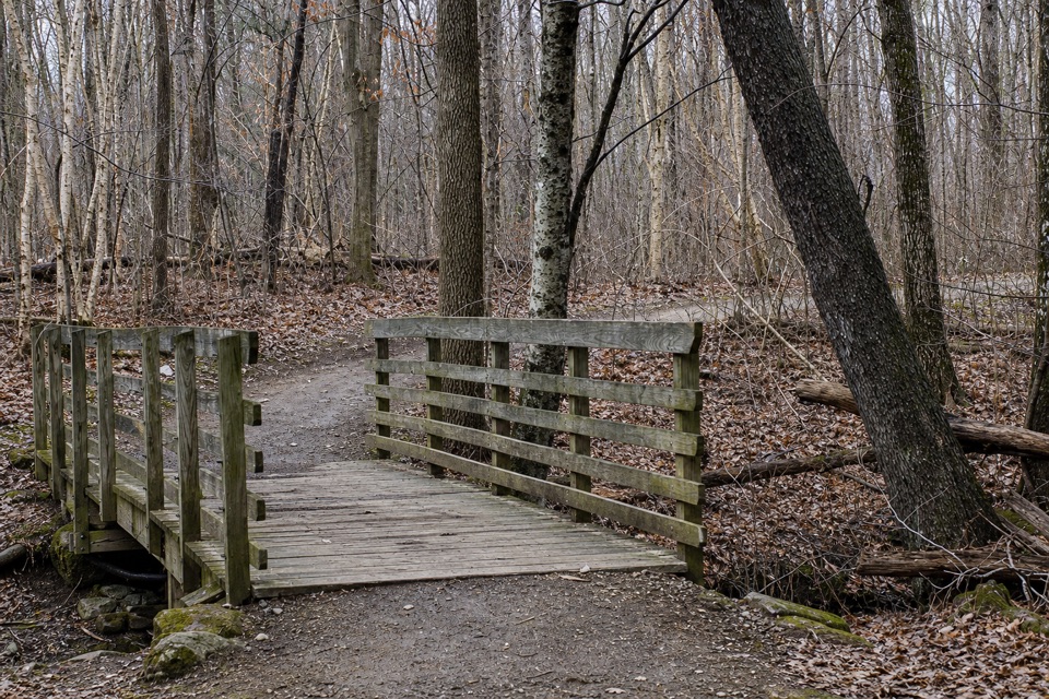 EasyOak Hill Trail1.4 mi · 45 min · 3.2 mi awayA gentle loop past Sylvan Pond and old farm traces.
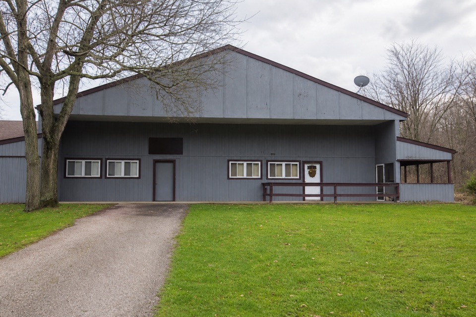 EasySouth Bridle Loop1.6 mi · 1 hr · 3.3 mi awayA short bridle loop beside Brecksville Stables.
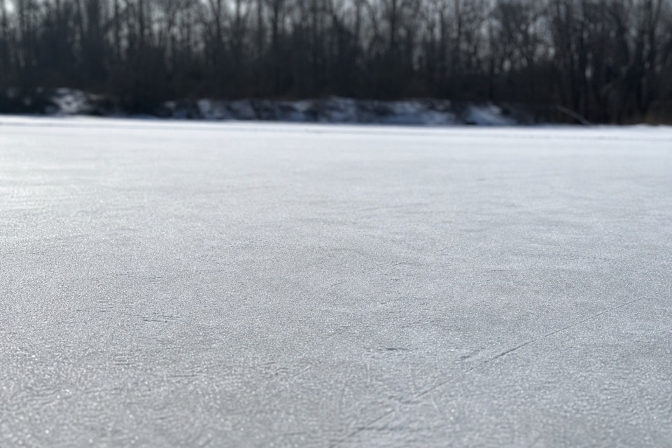 Sight · 1.4 mi awayBrushwood LakeA small fishing pond with a bigger story than its size.
 Sight · 2.2 mi awayGreenfield Berry FarmA 20-acre farm combines berry picking, cut flowers and hands-on tours.
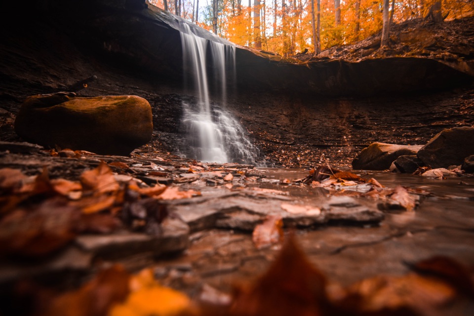 Sight · 2.4 mi awayBlue Hen FallsA 15-foot waterfall at the end of a hilly, wooded hike.
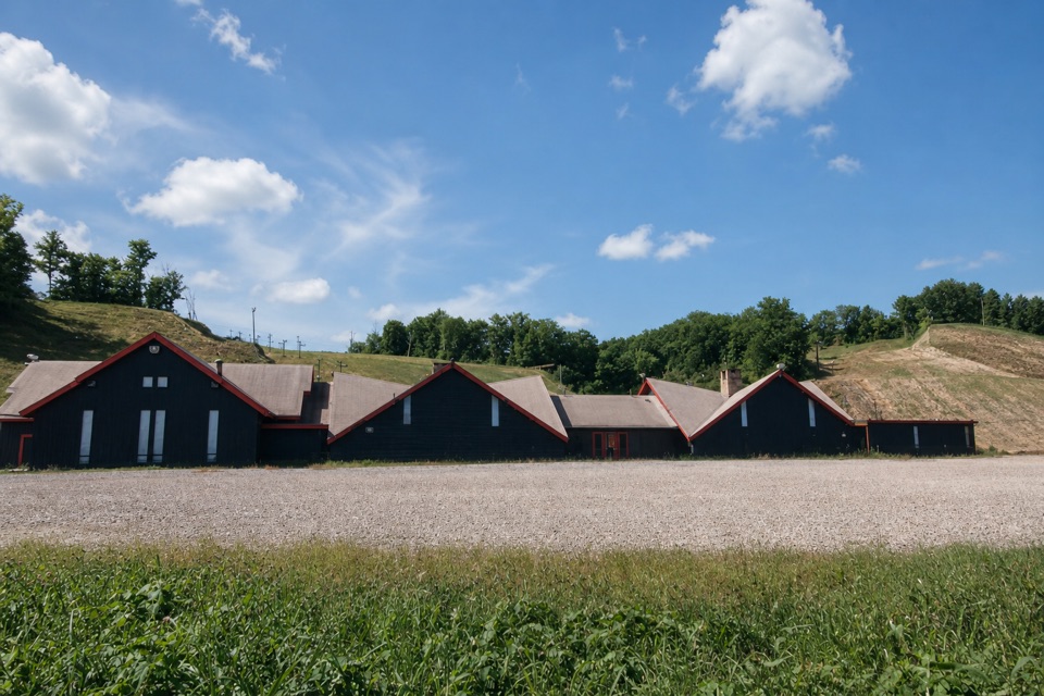 Sight · 2.8 mi awayBoston Mills Ski ResortQuick local laps, with a real challenge on the Tiger run.
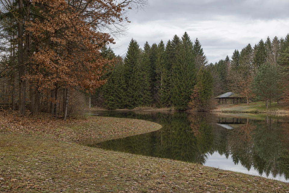 Sight · 2.9 mi awayHorseshoe PondA calm pond stop for fishing, a picnic, or a short walk.
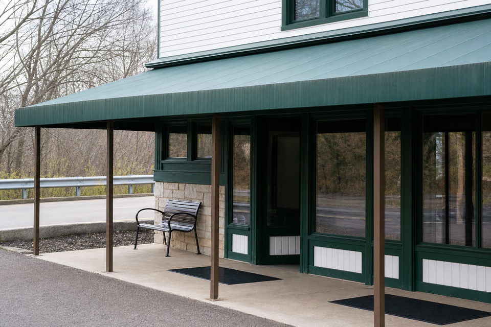 Visitor center · 3.1 mi awayBoston Mill Visitor CenterStart here for ranger advice and a tactile map of the valley.
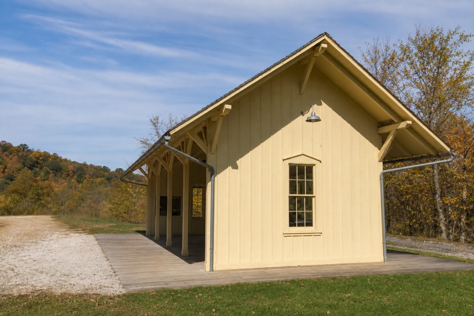 Sight · 3.1 mi awayBoston Mill StationA handy train stop for linking a ride with nearby trails.
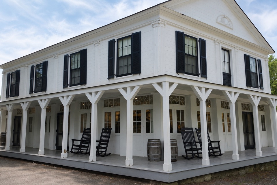 Store · 3.2 mi awayBoston StoreA canal-era store for ice cream beside the Towpath.
Parkwolf’s Cuyahoga Valley ranking

The audio tour guide for the drive, plus offline maps, trails, and wildlife heatmaps for when the signal drops.




