1 active Cuyahoga Valley alert
- ClosureCuyahoga River closure and paddling hazardsDo not paddle through the river-mile-17 closure or the woody-debris hazard upstream of Lock 39.Official details
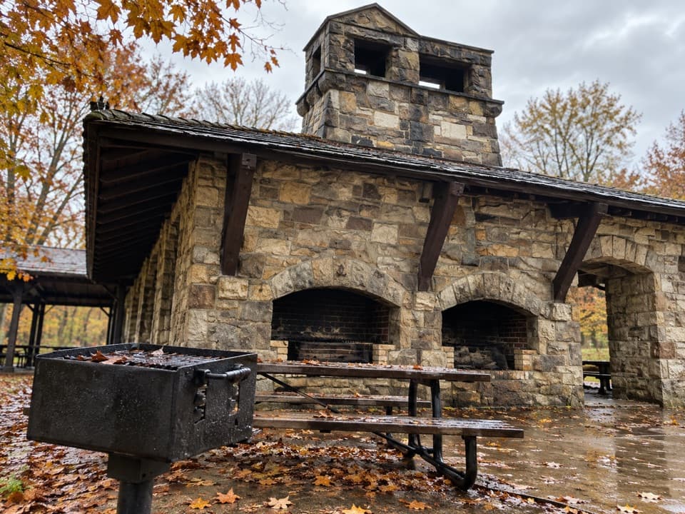
Picnic area · Cuyahoga Valley National Park
A large, well-equipped pavilion for group picnics.


Overview
Map
Plan your stop

The highest, rockiest slopes around here are a summer buffet for grizzly bears.
Cuyahoga Valley Tour Guide
Parkwolf is a GPS audio tour guide for Cuyahoga Valley National Park. As you drive, it chimes in with what’s ahead: hidden gems, upcoming stops, history, geology, and wildlife, right through your car’s speakers.
See the Cuyahoga Valley audio tourRecorded for this place
Oak Grove and White Oak Trail“Oak Grove is coming up, with the White Oak Trail Loop dropping from the ridge into mature oak and hickory woods.”
Plays as you drive up to Oak Grove Picnic Area in the Parkwolf Cuyahoga Valley Tour Guide.
More stories near here in the app
“Fantastic app with many points of information… It’s great to just turn on while you’re driving and it gives you an audio tour of the national Park. We love it!!!!”
Guide
Oak Grove is a large, open-sided picnic shelter off Valley Parkway in Brecksville Reservation. It’s set up for reunions, cookouts and field games; the appeal is having a roomy base for a group.
The shelter is listed for daily reservations from May through October. Book ahead for a planned gathering. Casual access when the shelter isn’t reserved isn’t clear, so confirm it before relying on a walk-up picnic.
There are 27 eight-foot tables, grills, a fireplace, electricity, a drinking fountain, an informal ball field and a swing-set play area. Trail access begins by the shelter. Restrooms are vault toilets, a basic non-flushing setup.
Wildlife
 321 sightingsBald EagleMost seen around 7 AMSighting map
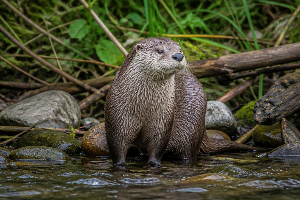 12 sightingsRiver OtterMost seen around 7 AMSighting map
 103 sightingsCoyoteMost seen around 7 PMSighting map
 251 sightingsBeaverMost seen around 8 PMSighting map
 498 sightingsWhite-tailed DeerMost seen around 6 AMSighting map
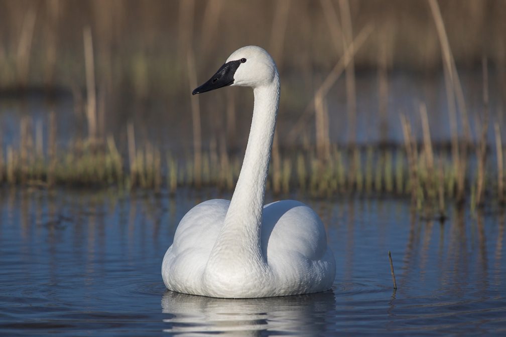 104 sightingsTrumpeter SwanMost seen around 5 PMSighting map
Sighting maps show where each species has been reported across Cuyahoga Valley. Wildlife moves, so no sighting is guaranteed.
Keep exploring
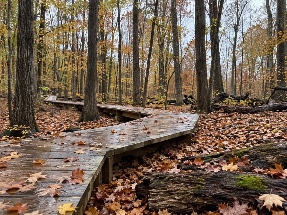 ModerateWhite Oak Trail Loop1.4 mi · 1 hr · 0.2 mi awayA short loop drops from the ridge into forested ravines.
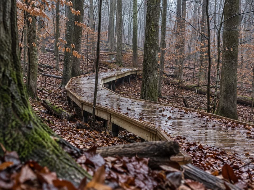 EasyMy Mountain Trail0.6 mi · 30 min · 0.5 mi awaySeven crossings and a boardwalk lead to a wooded valley overlook.
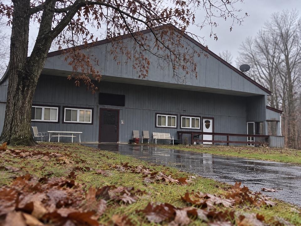 EasySouth Bridle Loop1.6 mi · 1 hr · 0.6 mi awayA short bridle loop beside Brecksville Stables.
 ChallengingValley Trail14.5 mi · 7 hr · 0.6 mi awayA long shared-use route from Brecksville toward Everett.
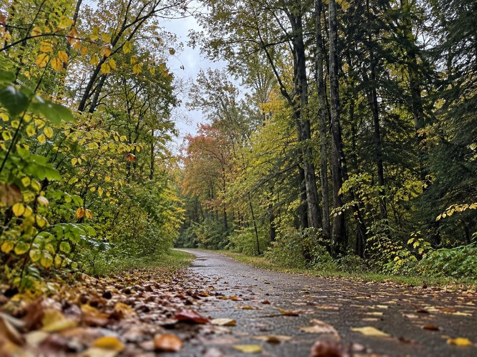 ModerateParkway Bridle Trail9.3 mi · 4.7 hr · 0.6 mi awayA long, mixed-surface bridle corridor shared by hikers and horses.
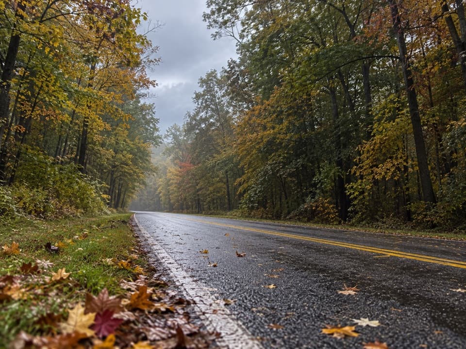 EasyNorth Bridle Loop2.9 mi · 1.5 hr · 1 mi awayA short loop through the shared bridle network.
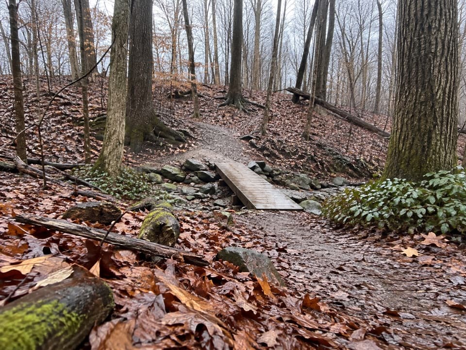 EasyWildflower Loop Trail0.8 mi · 30 min · 1 mi awayA short loop threading woods, spring flowers and Wallin Creek.
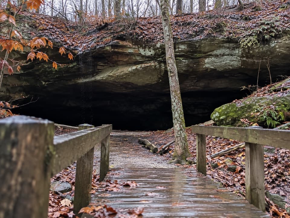 ModerateDeer Lick Loop4.2 mi · 2.5 hr · 1 mi awayA rolling forest loop leads to a broad sandstone overhang.
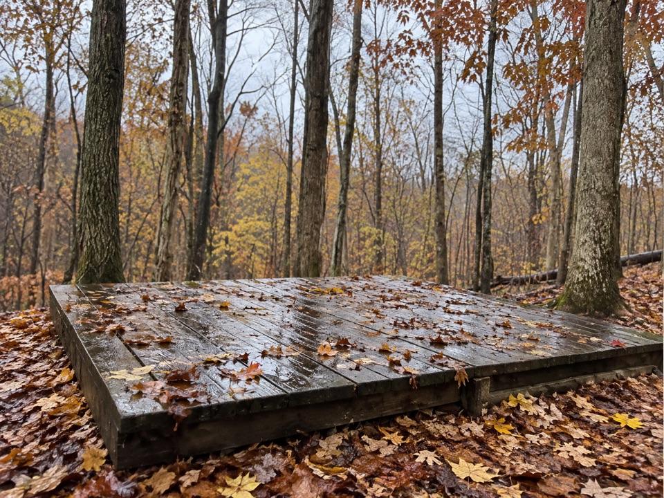 Campground · 0.4 mi awayOttawa Overlook Backcountry SitesThree hike-in tent sites share a basic backcountry kitchen
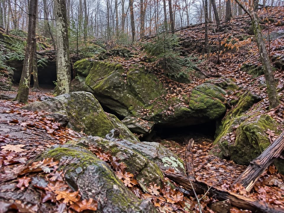 Sight · 0.4 mi awayDeer Lick CaveA shady sandstone overhang, reached by a short stair walk.
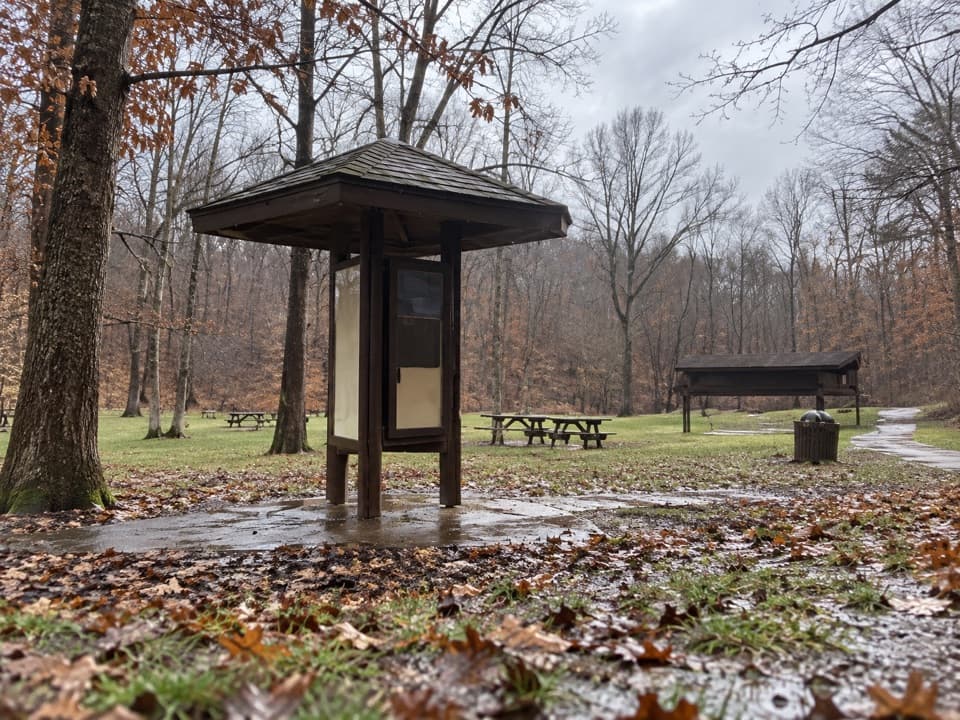 Picnic area · 0.5 mi awayPlateau Picnic AreaA shaded picnic stop with trails close by.
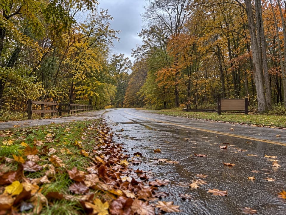 Picnic area · 0.5 mi awayLower Chippewa Creek Picnic AreaA shaded picnic stop beside the creek, close to nearby walks.
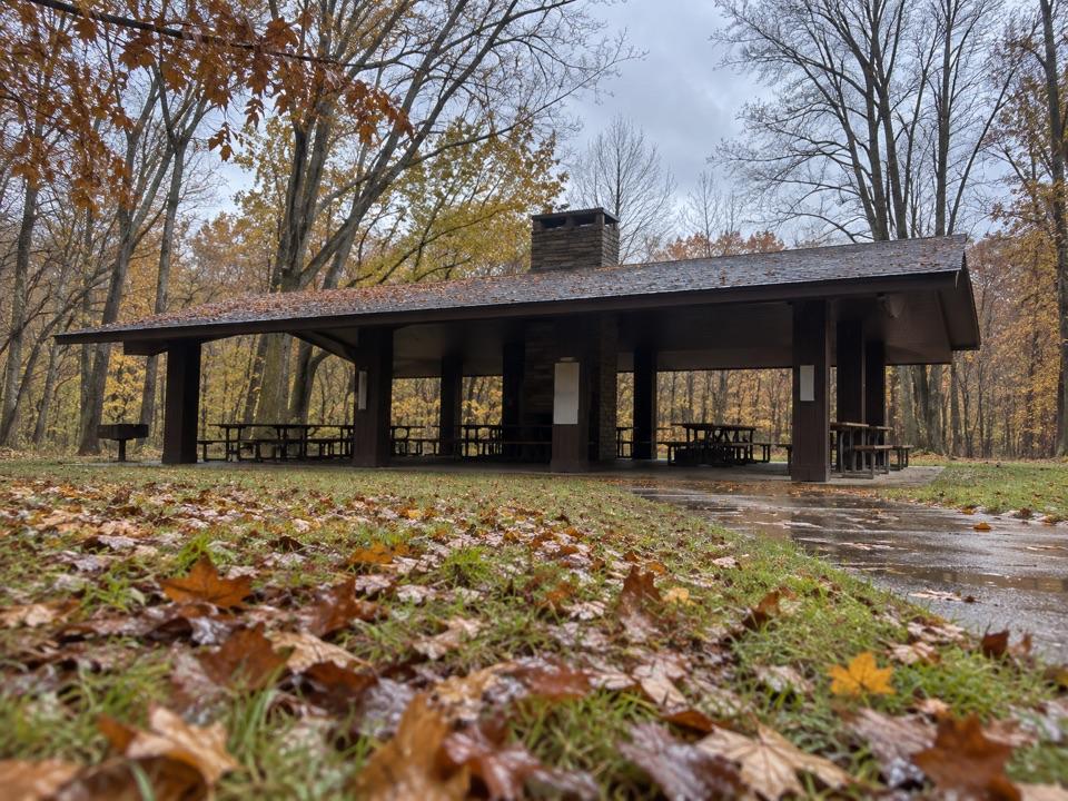 Picnic area · 0.6 mi awayOttawa Point Picnic AreaA reservable group shelter right on the Buckeye Trail.
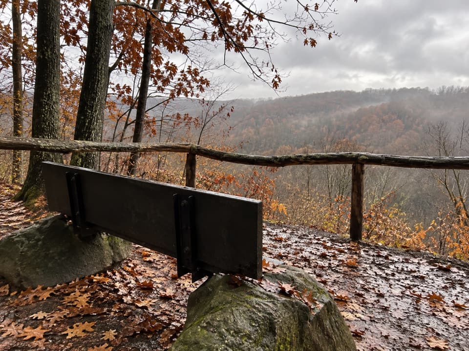 Sight · 0.7 mi awayMy Mountain OverlookA quiet bench stop above Chippewa Creek, best in leaf-off season.
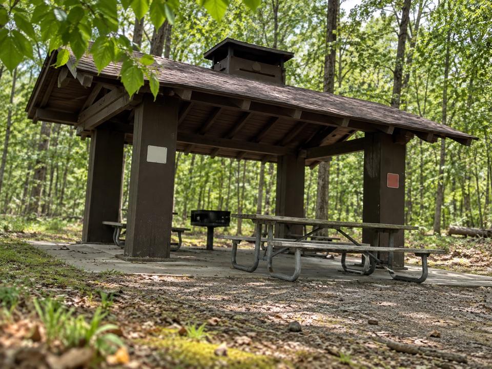 Picnic area · 1 mi awayMeadows Picnic AreaAn easy picnic base with a cookhouse and nearby trail access.
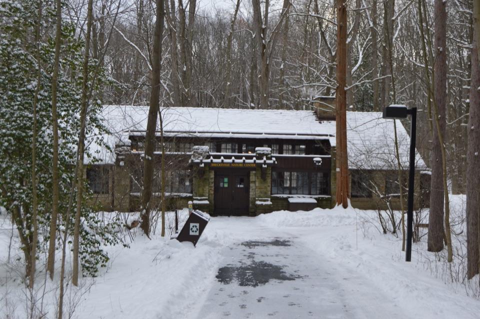 Visitor center · 1 mi awayBrecksville Nature CenterA feeder window makes this 1939 trailside museum an easy stop.
Parkwolf’s Cuyahoga Valley ranking

The audio tour guide for the drive, plus offline maps, trails, and wildlife heatmaps for when the signal drops.