1 active Cuyahoga Valley alert
- ClosureCuyahoga River closure and paddling hazardsDo not paddle through the river-mile-17 closure or the woody-debris hazard upstream of Lock 39.Official details
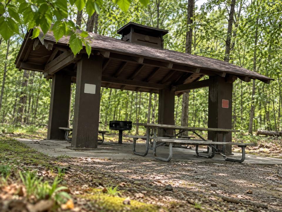
Picnic area · Cuyahoga Valley National Park
An easy picnic base with a cookhouse and nearby trail access.


Overview
Map
Plan your stop

The highest, rockiest slopes around here are a summer buffet for grizzly bears.
Cuyahoga Valley Tour Guide
Parkwolf is a GPS audio tour guide for Cuyahoga Valley National Park. As you drive, it chimes in with what’s ahead: hidden gems, upcoming stops, history, geology, and wildlife, right through your car’s speakers.
See the Cuyahoga Valley audio tourRecorded for this place
Meadows Picnic Area“Meadows Picnic Area is ahead, with a cookhouse and an open shelter for a group meal. Tables and grills make it a useful picnic base, while a play area and ball field give kids something to do.”
Plays as you drive up to Meadows Picnic Area in the Parkwolf Cuyahoga Valley Tour Guide.
More stories near here in the app
“Fantastic app with many points of information… It’s great to just turn on while you’re driving and it gives you an audio tour of the national Park. We love it!!!!”
Guide
Meadows Picnic Area is a public picnic spot off Meadows Drive in Brecksville Reservation. An open shelterhouse, cookhouse, tables and grills make it a practical choice for a meal with a group; a play area and ball field give people room to spread out.
Parking, restrooms and a drinking fountain are listed for the site. No food service is advertised, so bring what you’d like to eat and use the picnic facilities.
A separate Meadows Picnic Area Trailhead nearby connects to several trails, a handy add-on if you want more than time at the tables.
Wildlife
 321 sightingsBald EagleMost seen around 7 AMSighting map
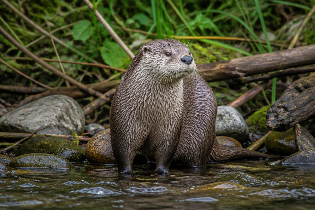 12 sightingsRiver OtterMost seen around 7 AMSighting map
 103 sightingsCoyoteMost seen around 7 PMSighting map
 251 sightingsBeaverMost seen around 8 PMSighting map
 498 sightingsWhite-tailed DeerMost seen around 6 AMSighting map
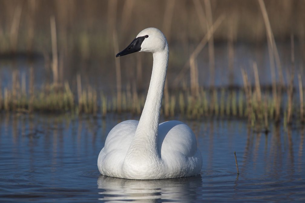 104 sightingsTrumpeter SwanMost seen around 5 PMSighting map
Sighting maps show where each species has been reported across Cuyahoga Valley. Wildlife moves, so no sighting is guaranteed.
Keep exploring
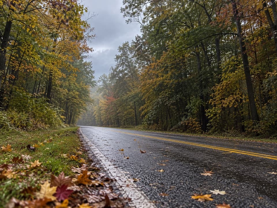 EasyNorth Bridle Loop2.9 mi · 1.5 hr · At the trailheadA short loop through the shared bridle network.
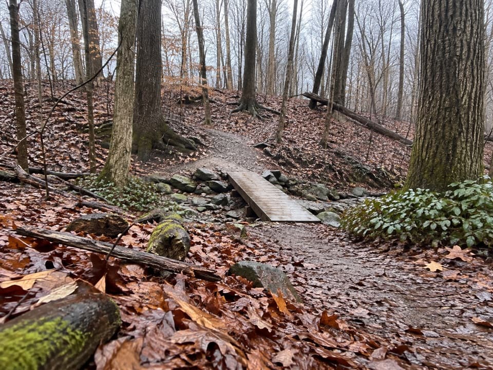 EasyWildflower Loop Trail0.8 mi · 30 min · 0.2 mi awayA short loop threading woods, spring flowers and Wallin Creek.
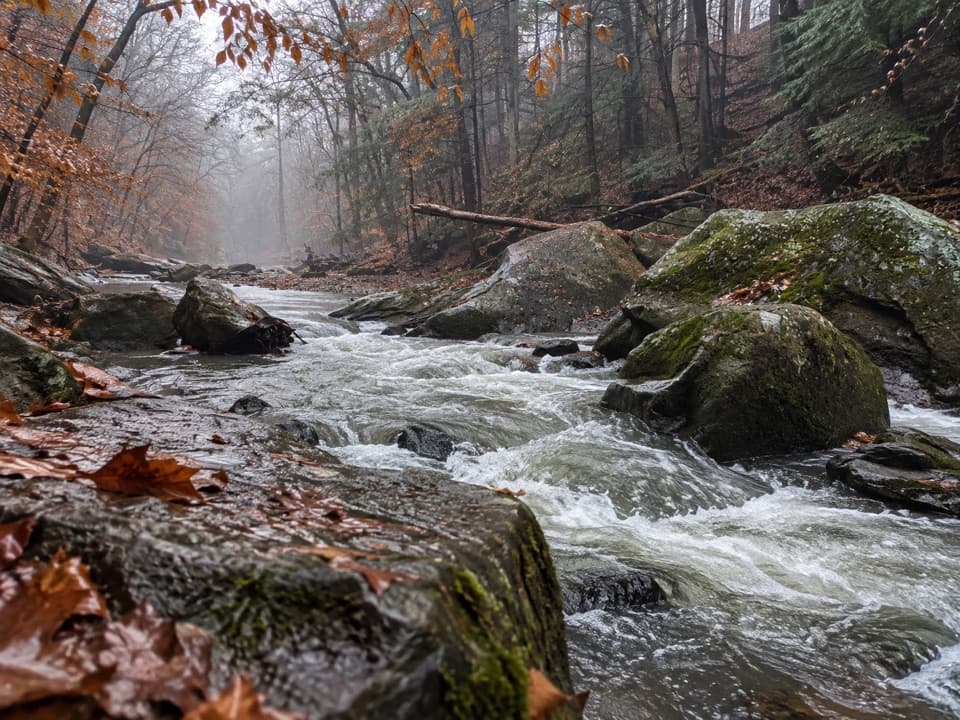 ModerateGorge Loop0.3 mi · 45 min · 0.3 mi awayGo down the stone stairs for Chippewa Creek and sandstone boulders.
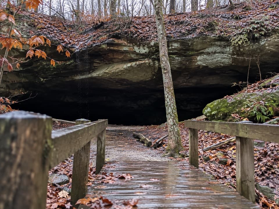 ModerateDeer Lick Loop4.2 mi · 2.5 hr · 0.3 mi awayA rolling forest loop leads to a broad sandstone overhang.
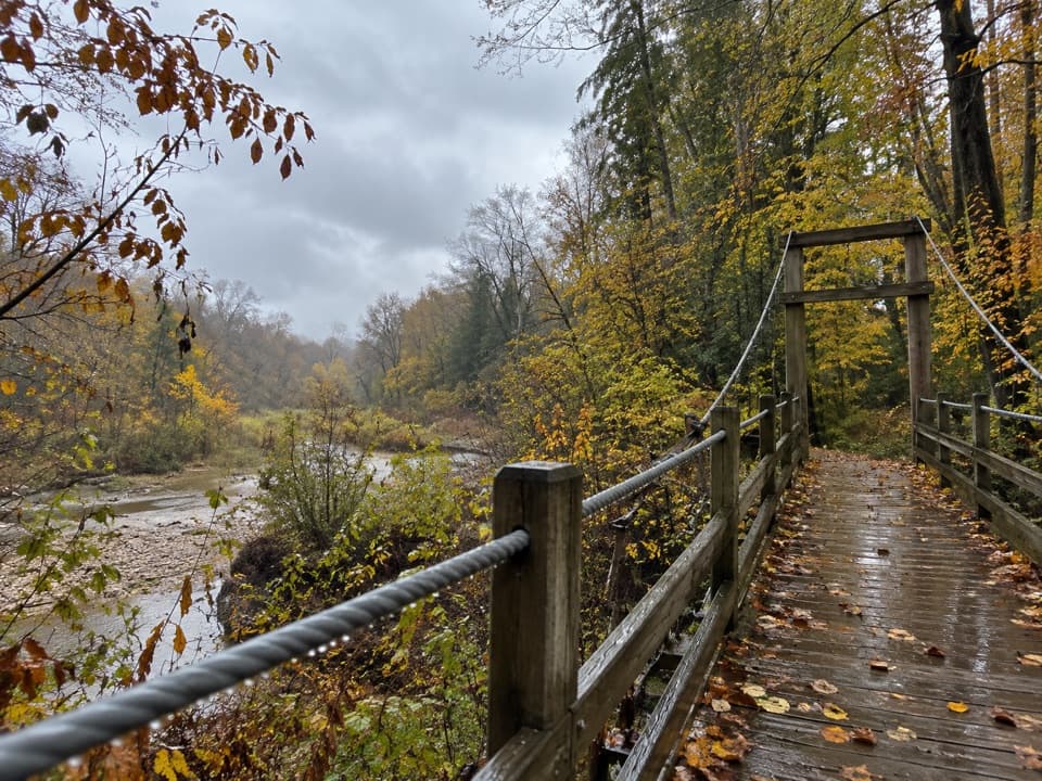 ModerateHemlock Trail2.8 mi · 1.3 hr · 0.4 mi awayA shady creek walk with two footbridges and spring pools.
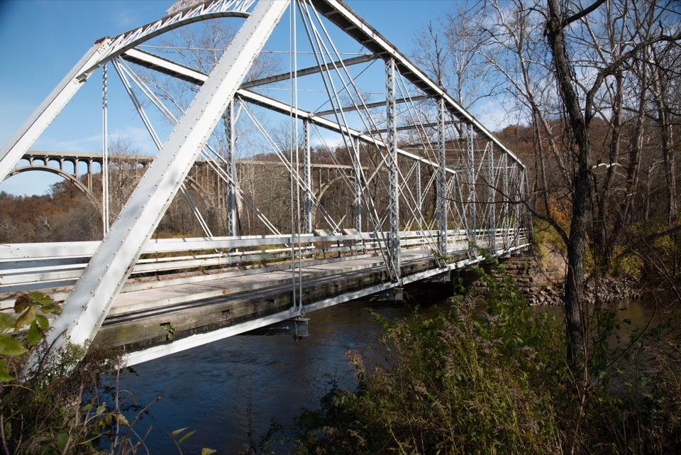 EasyBrecksville All Purpose Trail: Gorge to Station Road Bridge4.1 mi · 1.8 hr · 0.4 mi awayA paved creekside walk ends at a memorable river bridge.
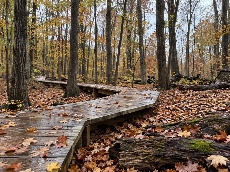 ModerateWhite Oak Trail Loop1.4 mi · 1 hr · 0.8 mi awayA short loop drops from the ridge into forested ravines.
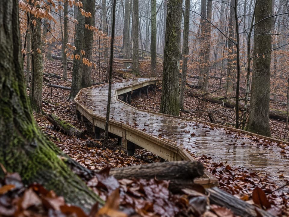 EasyMy Mountain Trail0.6 mi · 30 min · 1.1 mi awaySeven crossings and a boardwalk lead to a wooded valley overlook.
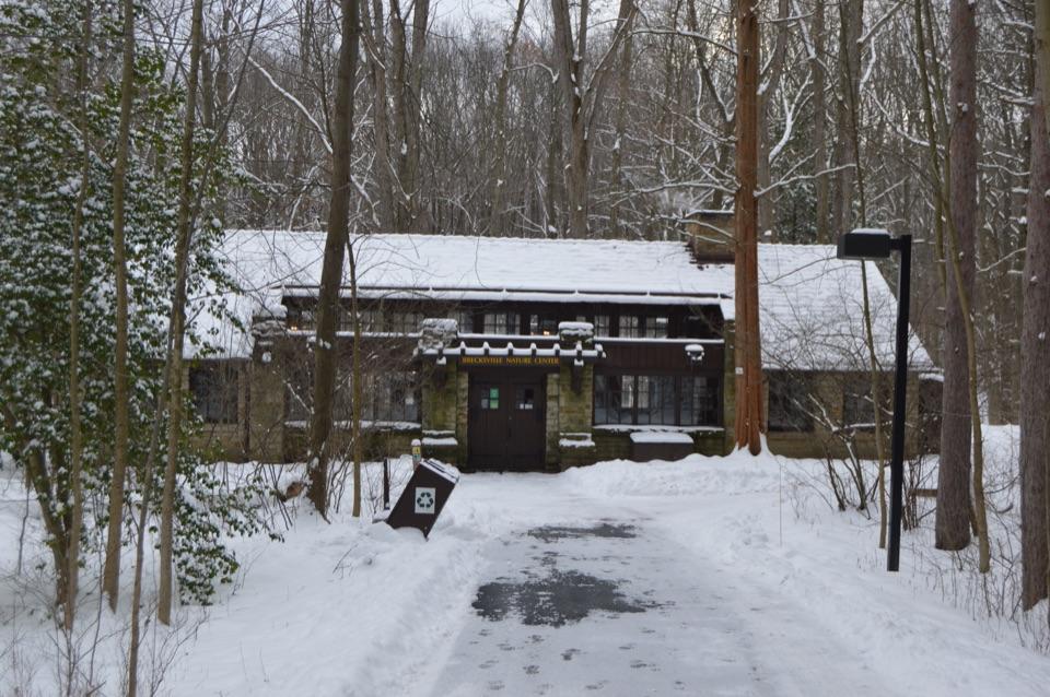 Visitor center · 0.2 mi awayBrecksville Nature CenterA feeder window makes this 1939 trailside museum an easy stop.
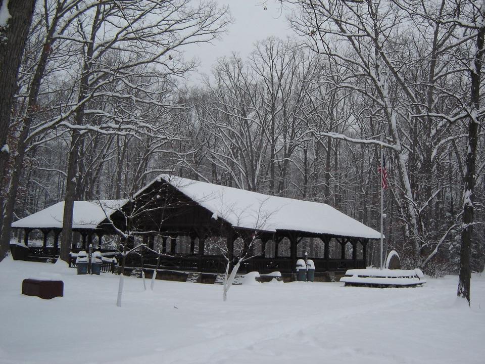 Picnic area · 0.3 mi awayHarriet Keeler Memorial Picnic AreaA shaded picnic stop with a shelter, play area and trail access.
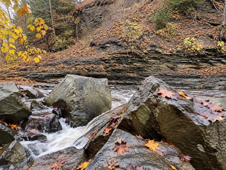 Sight · 0.4 mi awayChippewa Creek Gorge Scenic OverlookA quick roadside view into a sandstone gorge.
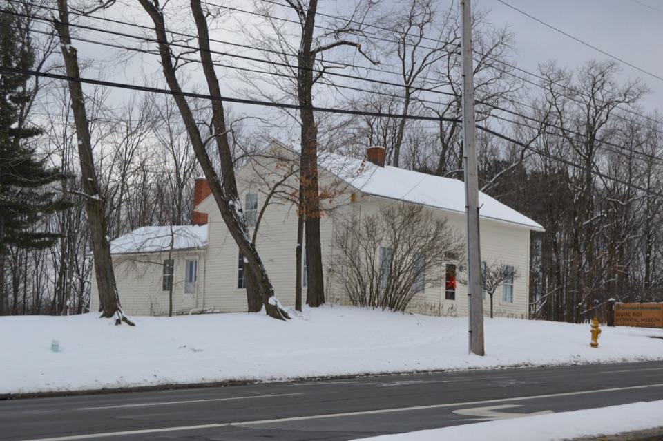 Sight · 0.7 mi awaySquire Rich MuseumSix rooms keep Brecksville’s local story inside a historic family home.
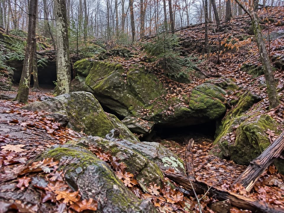 Sight · 0.8 mi awayDeer Lick CaveA shady sandstone overhang, reached by a short stair walk.
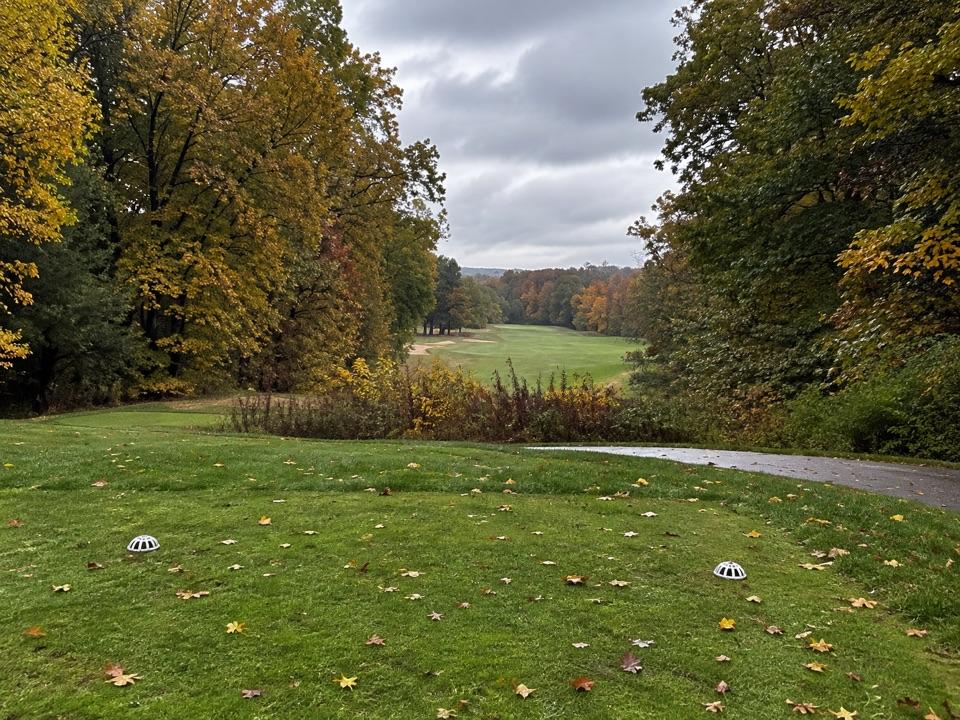 Sight · 0.8 mi awaySleepy Hollow Golf CourseA hilly Stanley Thompson course doubles as a winter sledding hill.
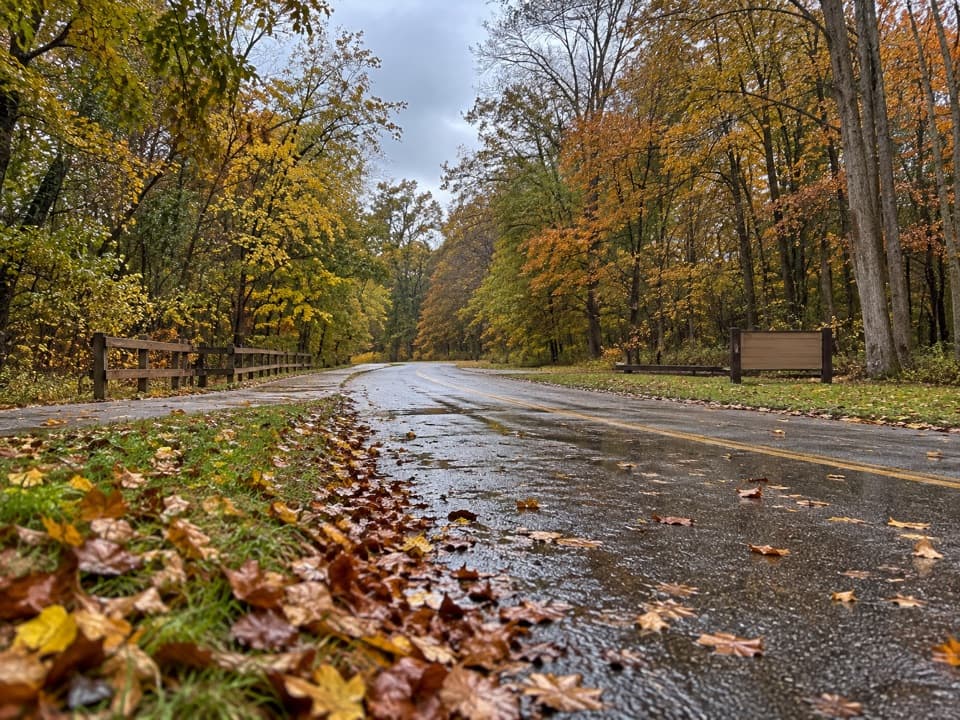 Picnic area · 0.9 mi awayLower Chippewa Creek Picnic AreaA shaded picnic stop beside the creek, close to nearby walks.
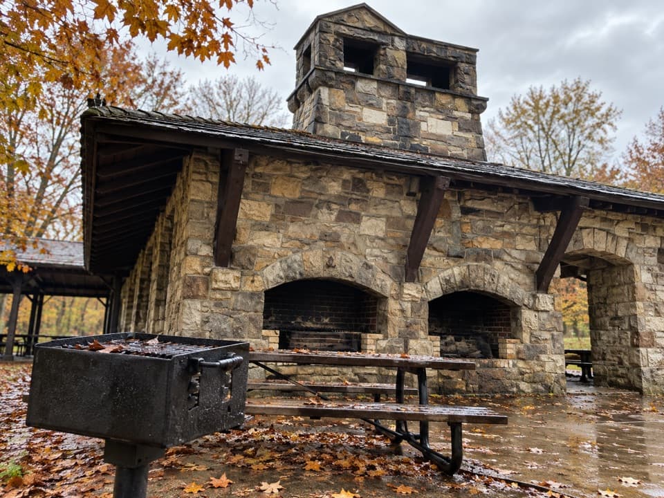 Picnic area · 1 mi awayOak Grove Picnic AreaA large, well-equipped pavilion for group picnics.
Parkwolf’s Cuyahoga Valley ranking

The audio tour guide for the drive, plus offline maps, trails, and wildlife heatmaps for when the signal drops.