1 active Cuyahoga Valley alert
- ClosureCuyahoga River closure and paddling hazardsDo not paddle through the river-mile-17 closure or the woody-debris hazard upstream of Lock 39.Official details
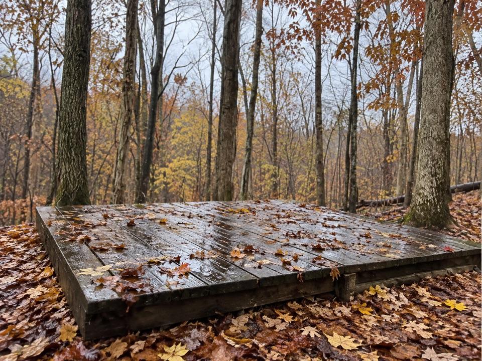
Campground · Cuyahoga Valley National Park
Three hike-in tent sites share a basic backcountry kitchen
Overview
Map
Plan your stop

The highest, rockiest slopes around here are a summer buffet for grizzly bears.
Cuyahoga Valley Tour Guide
Parkwolf is a GPS audio tour guide for Cuyahoga Valley National Park. As you drive, it chimes in with what’s ahead: hidden gems, upcoming stops, history, geology, and wildlife, right through your car’s speakers.
See the Cuyahoga Valley audio tourRecorded for this area
Brecksville Stables and Valley Trail“You're coming up on Brecksville Stables, an access point for Valley Trail through woods and open fields toward Everett.”
Plays on the road 0.5 mi from Ottawa Overlook Backcountry Sites in the Parkwolf Cuyahoga Valley Tour Guide.
More stories near here in the app
“Fantastic app with many points of information… It’s great to just turn on while you’re driving and it gives you an audio tour of the national Park. We love it!!!!”


Guide
Ottawa Overlook Backcountry Sites is a rustic campground in Brecksville Reservation, managed by Cleveland Metroparks. Three tent pitches share a backcountry kitchen and food hangers. It suits a short overnight backpacking trip, not a drive-up stay: you carry your gear in, and vehicles cannot pull up to unload. Reserve a permit at least two days ahead; each site allows up to four people and two tents, and stays are limited to one night.
Site 1 is a 12 × 17 ft natural-surface pitch closest to the shared kitchen. Site 2 is larger at 16 × 22 ft, also on natural ground, and is the one that overlooks a ridge. Site 3 is a more separate 10 × 12 ft wooden platform, farther from the first two. If the ridge view matters, choose Site 2; if you want a raised platform, choose Site 3.
All three sites use the same kitchen and food-storage area. Cooking is by backpacking stove only: campfires and charcoal are prohibited, and coolers aren't allowed. There are no trash cans, so pack waste out. Bathrooms are at Ottawa Point Picnic Area, about a quarter-mile away. Its water spigot runs May through September; bring your water from October through April.
The campground is reached from the Buckeye Trail, part of Ohio's more than 1,400-mile route. Use Brecksville Nature Center for overnight parking, about 3.1 miles from camp, or Plateau Picnic Area, about 3.4 miles away. Ottawa Point is close to the bathrooms and water, but its picnic lot isn't allowed for overnight parking.
Wildlife
 321 sightingsBald EagleMost seen around 7 AMSighting map
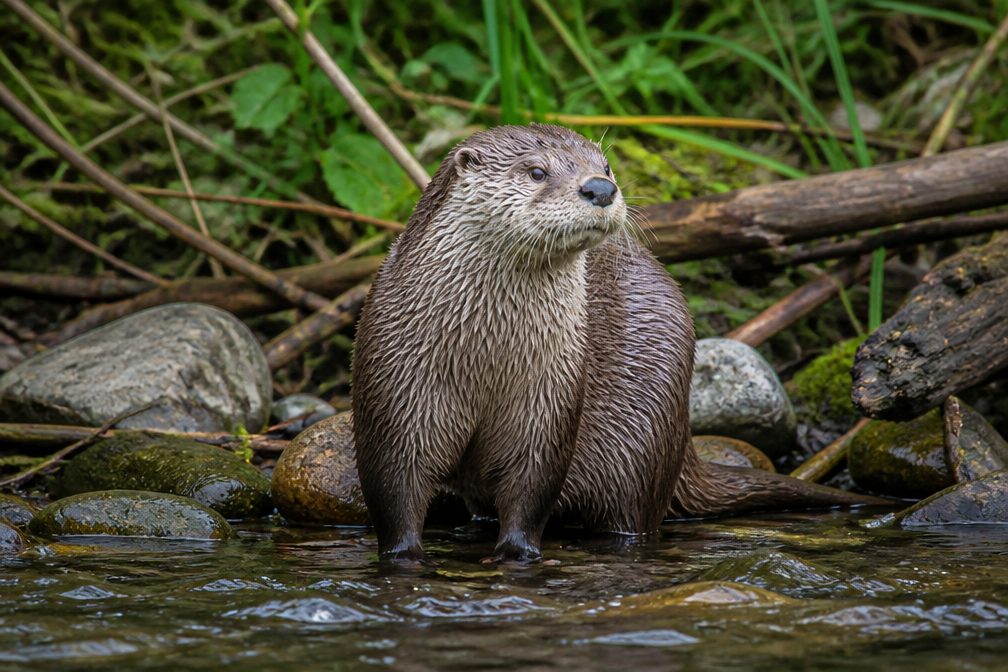 12 sightingsRiver OtterMost seen around 7 AMSighting map
 103 sightingsCoyoteMost seen around 7 PMSighting map
 251 sightingsBeaverMost seen around 8 PMSighting map
 498 sightingsWhite-tailed DeerMost seen around 6 AMSighting map
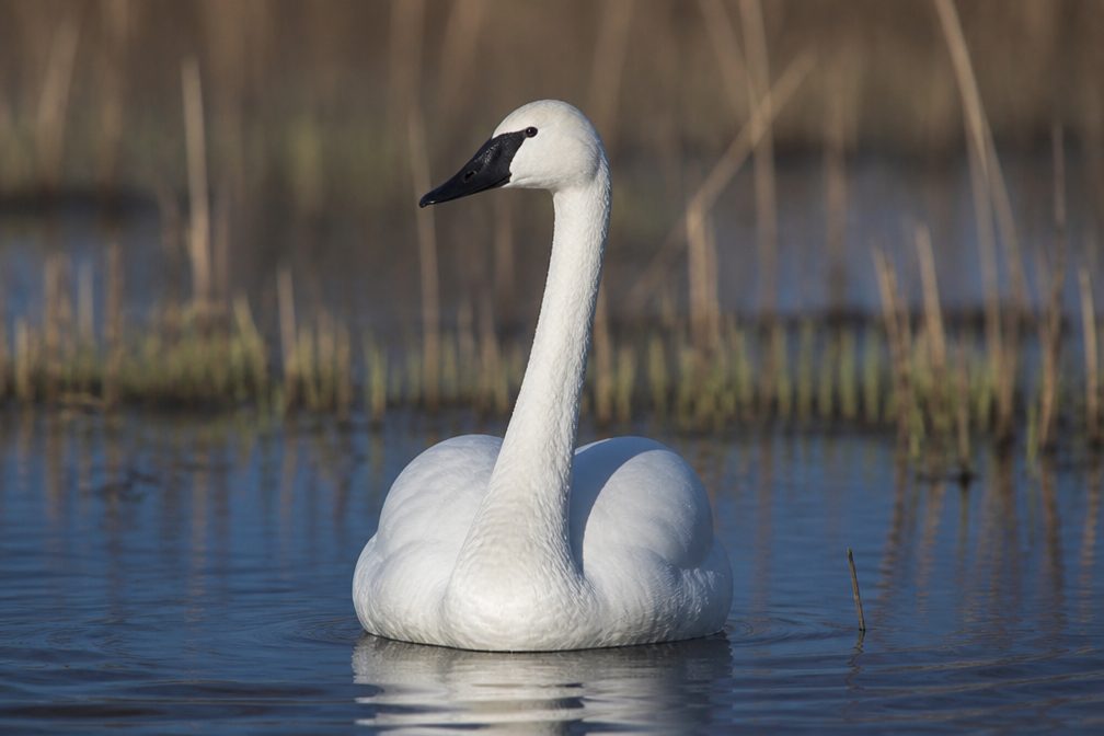 104 sightingsTrumpeter SwanMost seen around 5 PMSighting map
Sighting maps show where each species has been reported across Cuyahoga Valley. Wildlife moves, so no sighting is guaranteed.
Keep exploring
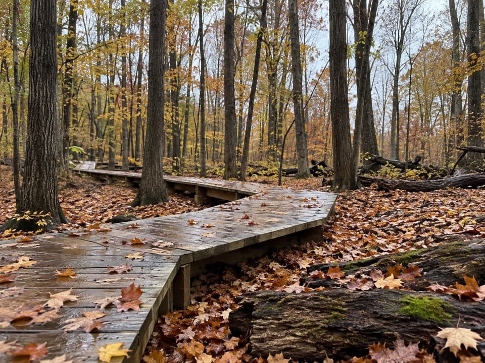 ModerateWhite Oak Trail Loop1.4 mi · 1 hr · 0.5 mi awayA short loop drops from the ridge into forested ravines.
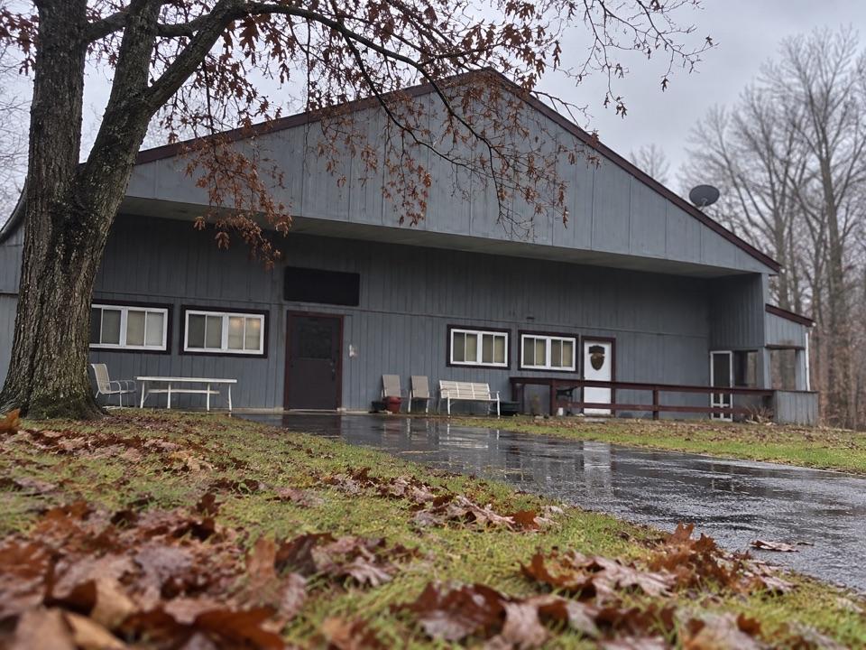 EasySouth Bridle Loop1.6 mi · 1 hr · 0.6 mi awayA short bridle loop beside Brecksville Stables.
 ChallengingValley Trail14.5 mi · 7 hr · 0.6 mi awayA long shared-use route from Brecksville toward Everett.
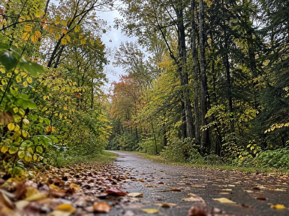 ModerateParkway Bridle Trail9.3 mi · 4.7 hr · 0.6 mi awayA long, mixed-surface bridle corridor shared by hikers and horses.
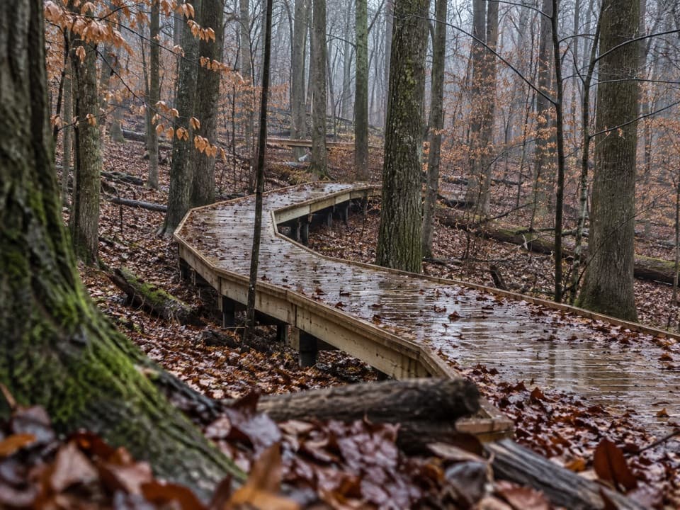 EasyMy Mountain Trail0.6 mi · 30 min · 0.7 mi awaySeven crossings and a boardwalk lead to a wooded valley overlook.
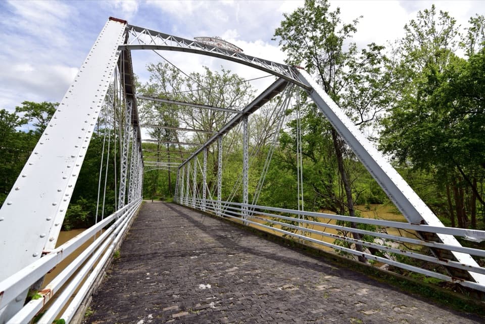 ModerateBuckeye and Towpath Loop: Station Road Bridge to Red Lock10.3 mi · 5.5 hr · 1.1 mi awayBuckeye hills and a canal-side Towpath make one varied loop.
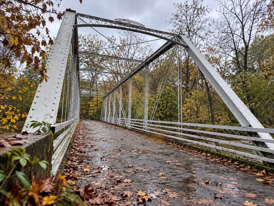 EasyStation Road Bridge to Mudcatcher Walk1.5 mi · 45 min · 1.1 mi awayA short river loop over an iron bridge and through canal history.
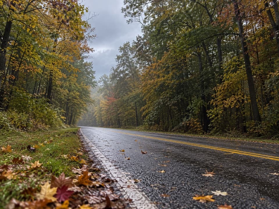 EasyNorth Bridle Loop2.9 mi · 1.5 hr · 1.3 mi awayA short loop through the shared bridle network.
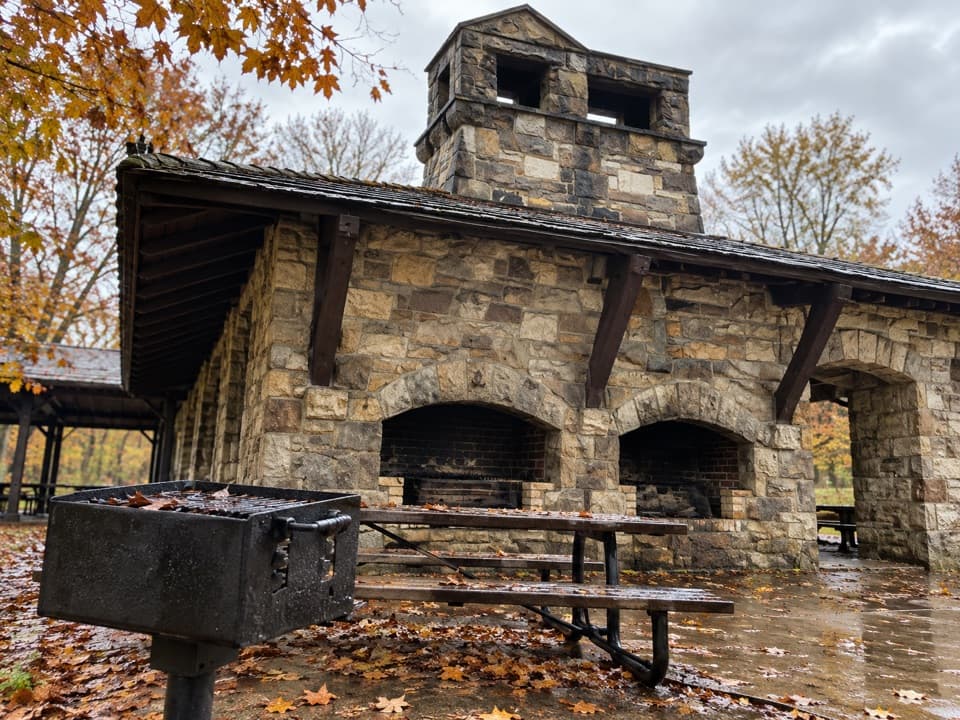 Picnic area · 0.4 mi awayOak Grove Picnic AreaA large, well-equipped pavilion for group picnics.
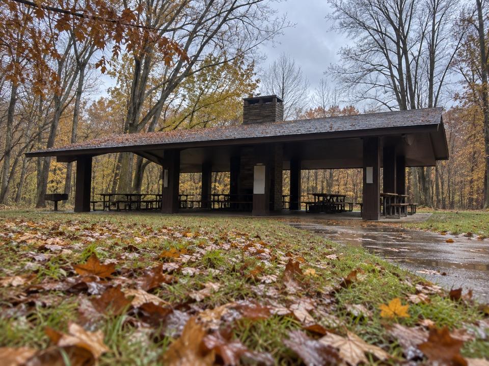 Picnic area · 0.4 mi awayOttawa Point Picnic AreaA reservable group shelter right on the Buckeye Trail.
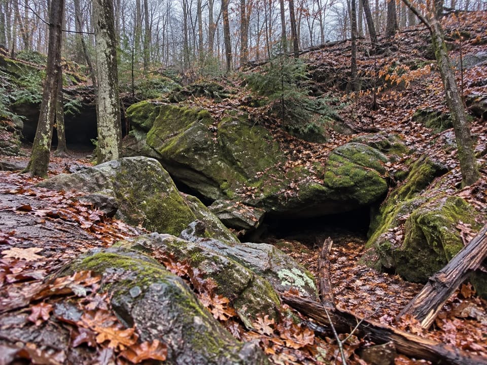 Sight · 0.7 mi awayDeer Lick CaveA shady sandstone overhang, reached by a short stair walk.
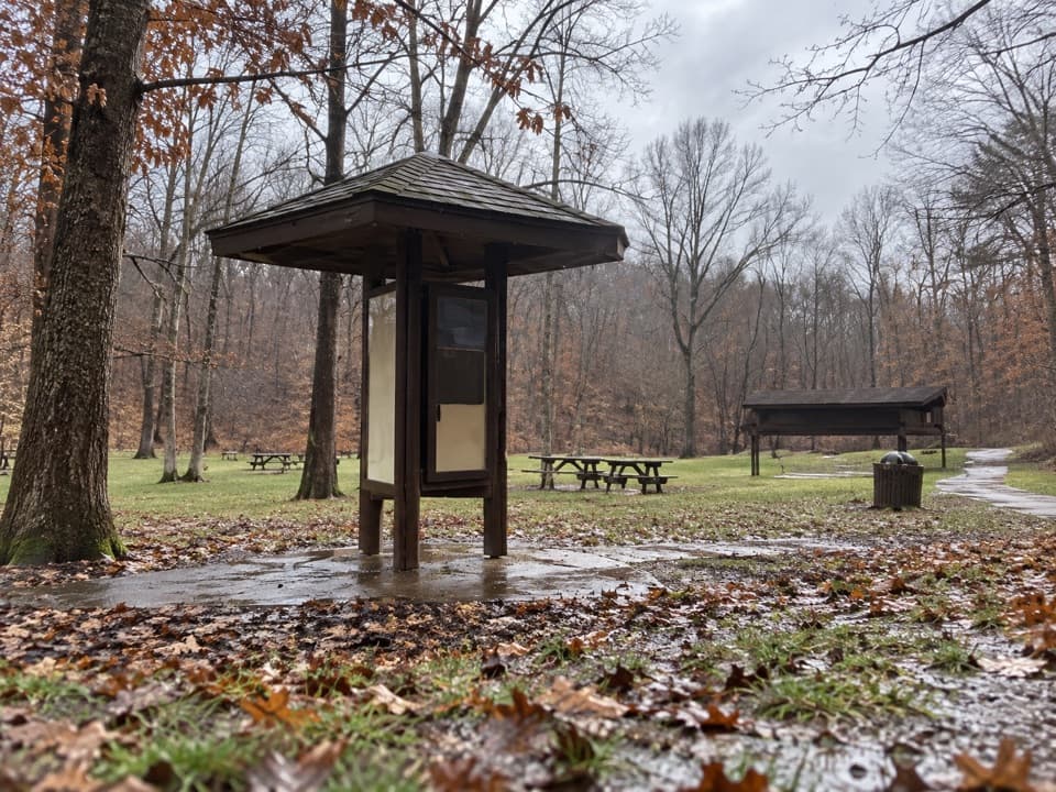 Picnic area · 0.7 mi awayPlateau Picnic AreaA shaded picnic stop with trails close by.
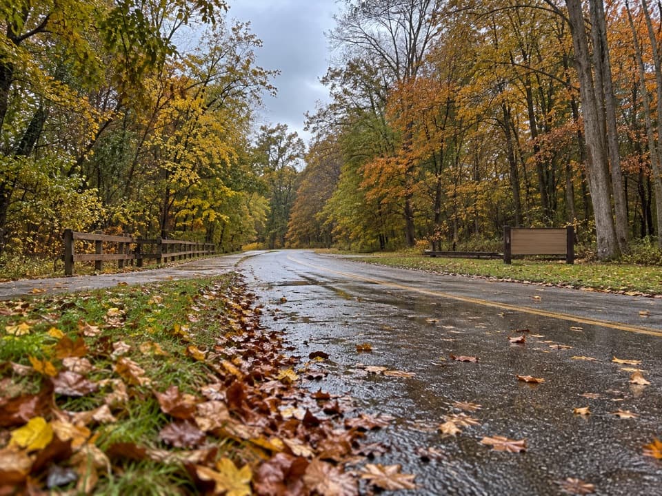 Picnic area · 0.8 mi awayLower Chippewa Creek Picnic AreaA shaded picnic stop beside the creek, close to nearby walks.
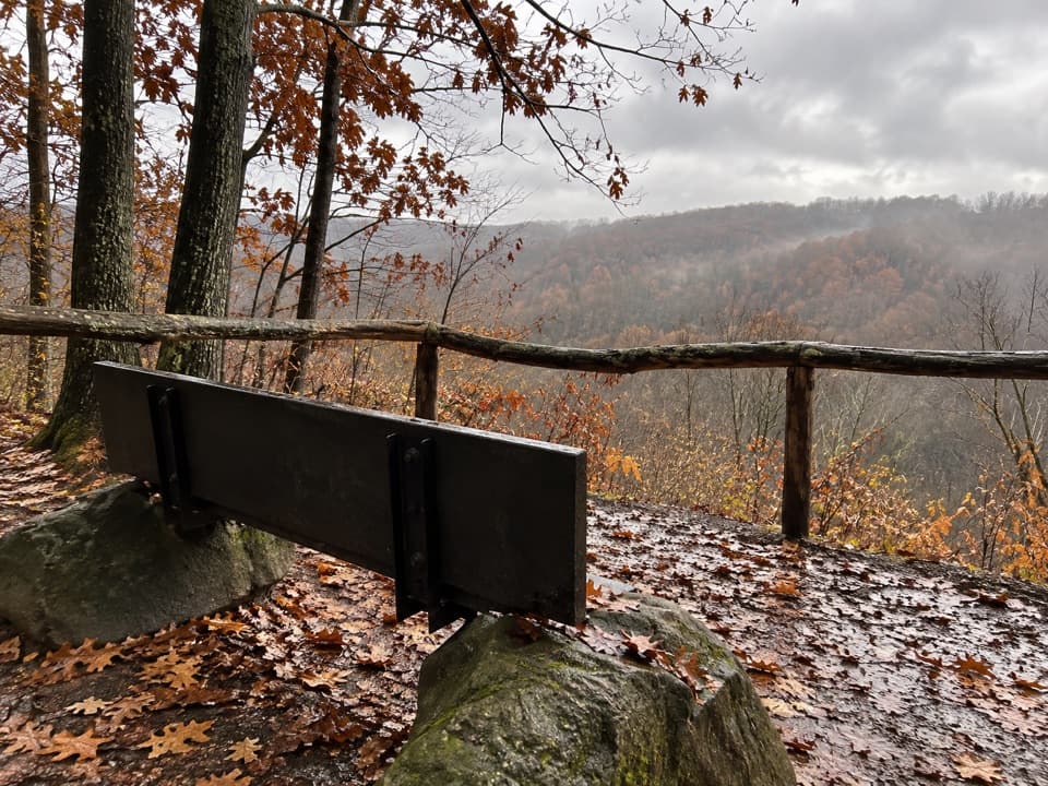 Sight · 0.8 mi awayMy Mountain OverlookA quiet bench stop above Chippewa Creek, best in leaf-off season.
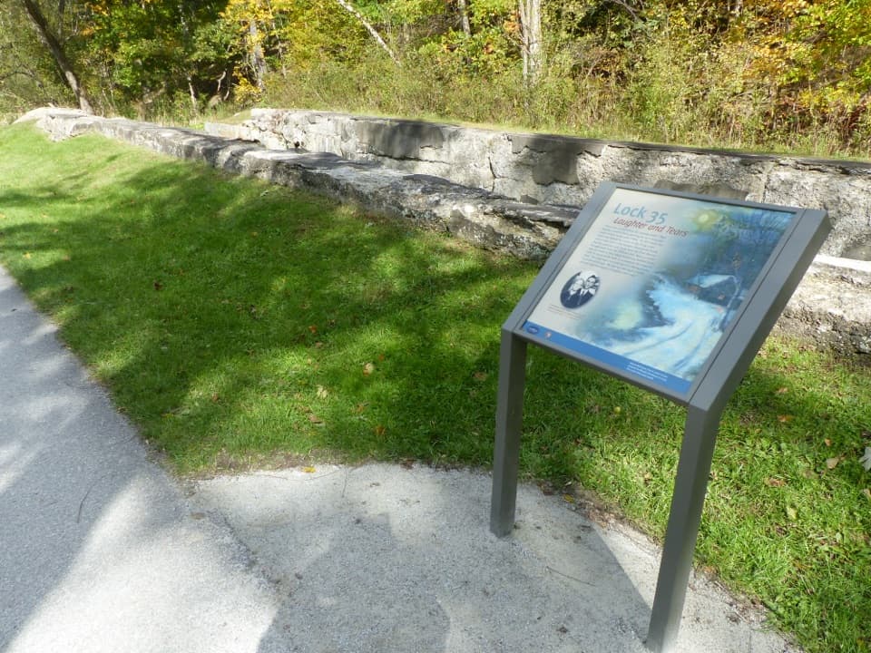 Sight · 0.9 mi awayLock 35A canal lock with a family's account of the 1913 flood.
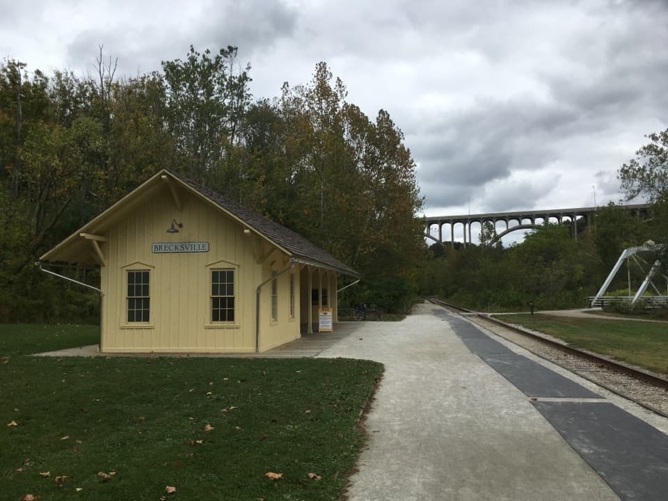 Sight · 1.2 mi awayBrecksville StationA useful flag stop for a one-way train-and-trail outing.
Parkwolf’s Cuyahoga Valley ranking

The audio tour guide for the drive, plus offline maps, trails, and wildlife heatmaps for when the signal drops.