Parking
Use the Intrepid trailhead on the north side of Visitor Center parking. The park charges a per-vehicle day-use fee.
Dead Horse Point State Park, UT
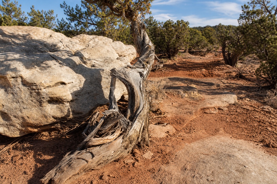
A long desert loop to Shafer Canyon’s rim and a twisted juniper.
Overview
Map & elevation
Plan your hike

The highest, rockiest slopes around here are a summer buffet for grizzly bears.
Dead Horse Point Tour Guide
Parkwolf is a GPS audio tour guide for Dead Horse Point State Park. As you drive, it chimes in with what’s ahead: hidden gems, upcoming stops, history, geology, and wildlife, right through your car’s speakers.
Recorded for this area
Visitor Center and Desert View“Up ahead is the visitor center, with geology exhibits, an art gallery, and a canyon view just outside.”
Plays on the road 0.1 mi from the trailhead in the Parkwolf Dead Horse Point Tour Guide.
More stories near here in the app
“Fantastic app with many points of information… It’s great to just turn on while you’re driving and it gives you an audio tour of the national Park. We love it!!!!”


Trail guide
Whiptail and Twisted Tree Loop is a visitor-built combination of Intrepid trails, not one officially named loop. The full route is about 9.2 miles round trip from the Intrepid trailhead, and it takes about four to five hours with the overlook stop. That total includes the 2.2-mile approach to the western circuit and the same Pair access back, plus an intentional 0.7-mile back-and-forth between two Whiptail and Twisted Tree junctions.
Start at the Intrepid trailhead on the north side of Visitor Center parking. Follow Intrepid about 0.4 mile, then take the left fork onto Prickly Pair. Cross the park road; at the fork near 0.8 mile, follow the right-hand branch, the shorter and easier choice. The longer More Fun branch rejoins around mile 1.6 and adds about half a mile, so it is outside this route. Prickly Pair reaches the western circuit around mile 2.2.
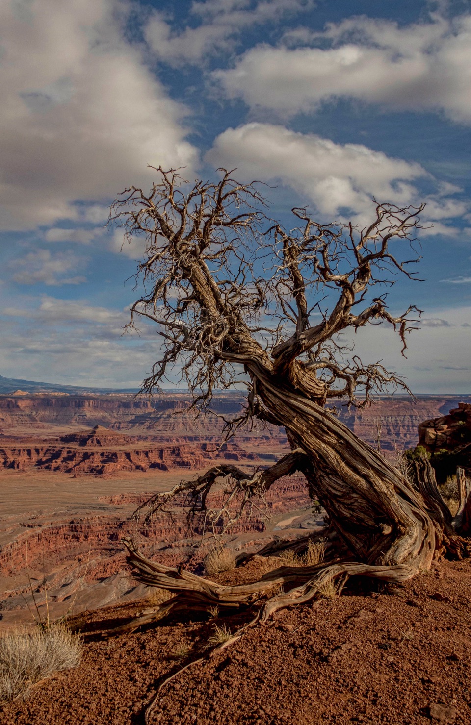
Turn onto Whiptail and follow its meander through sagebrush and junipers, across shallow washes and over red dirt and slickrock. At the first Twisted Tree junction, keep going on Whiptail to its farther junction. Follow Twisted Tree back to the earlier crossing, then retrace that short west connector once more before continuing east on Twisted Tree to Prickly Pair. It sounds odd as directions go, but the repeated section is part of the longer route and gives you time with the twisted juniper that gives the trail its character.
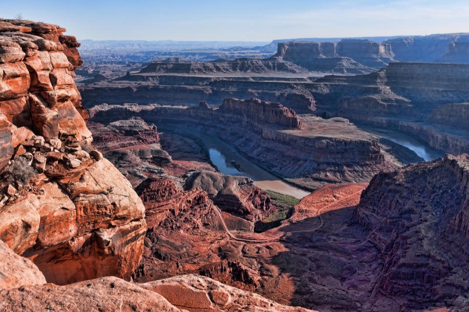
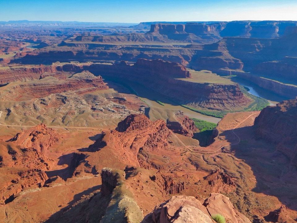
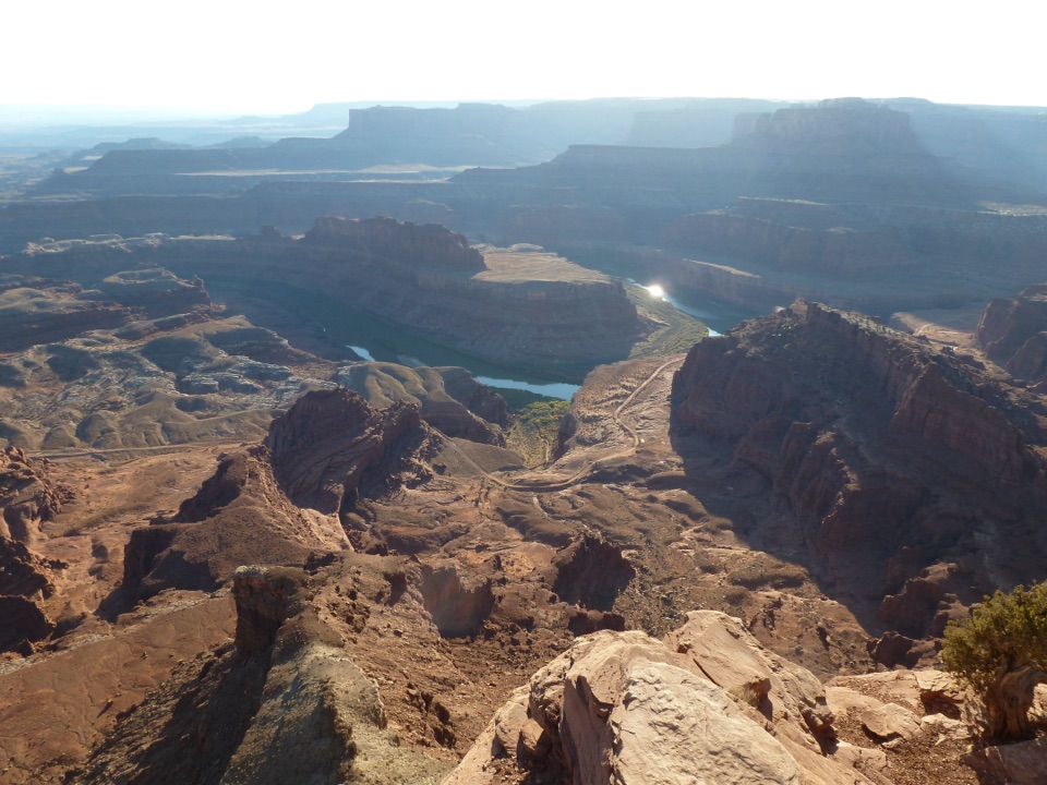
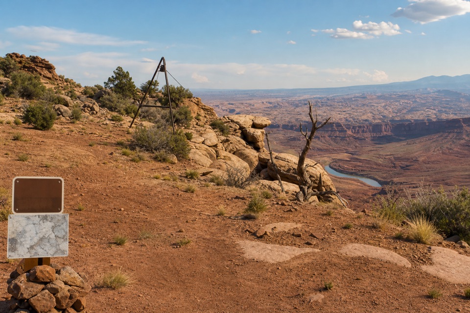
A wash on Twisted Tree leads about 50 yards to a Shafer Canyon overlook; the canyon lies roughly 1,000 feet below. The lookout is the route’s photo stop: leave a juniper or a bit of slickrock in the foreground to give the canyon some scale. That small footpath is an optional spur and is not included in the 9.2-mile mapped line.
This is a shared nonmotorized trail system, so expect mountain bikes. Underfoot changes between dirt, slickrock and shallow washes, with small rises and benches rather than one long climb. The distance is the main commitment. Dogs are allowed on hiking trails but must stay leashed. The route follows the canyon rim near its overlook, so stay on the established path there.
Wildlife
 33 sightingsRavenMost seen around 6 PMSighting map
 16 sightingsWhiptail LizardMost seen around 10 AMSighting map
 34 sightingsFence LizardMost seen around 8 AMSighting map
 42 sightingsSide-blotched LizardMost seen around 9 AMSighting map
Sighting maps show where each species has been reported across Dead Horse Point. Wildlife moves, so no sighting is guaranteed.
Keep exploring
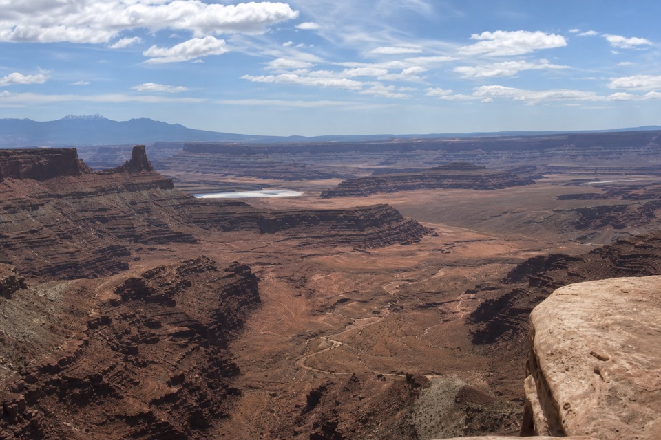 ModeratePrickly Pair Loop3.5 mi · 1.5 hr · At the trailheadTwo branches make a compact loop with a Shafer Canyon glimpse.
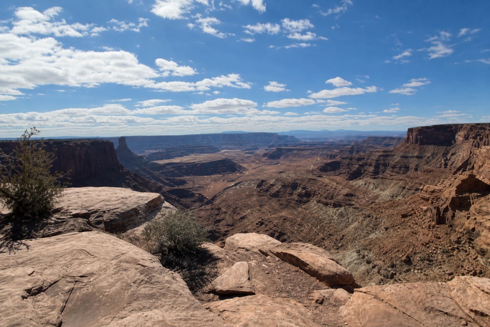 EasyGreat Pyramid Loop4.4 mi · 2.5 hr · At the trailheadA gentle desert loop reaches two Colorado River canyon overlooks.
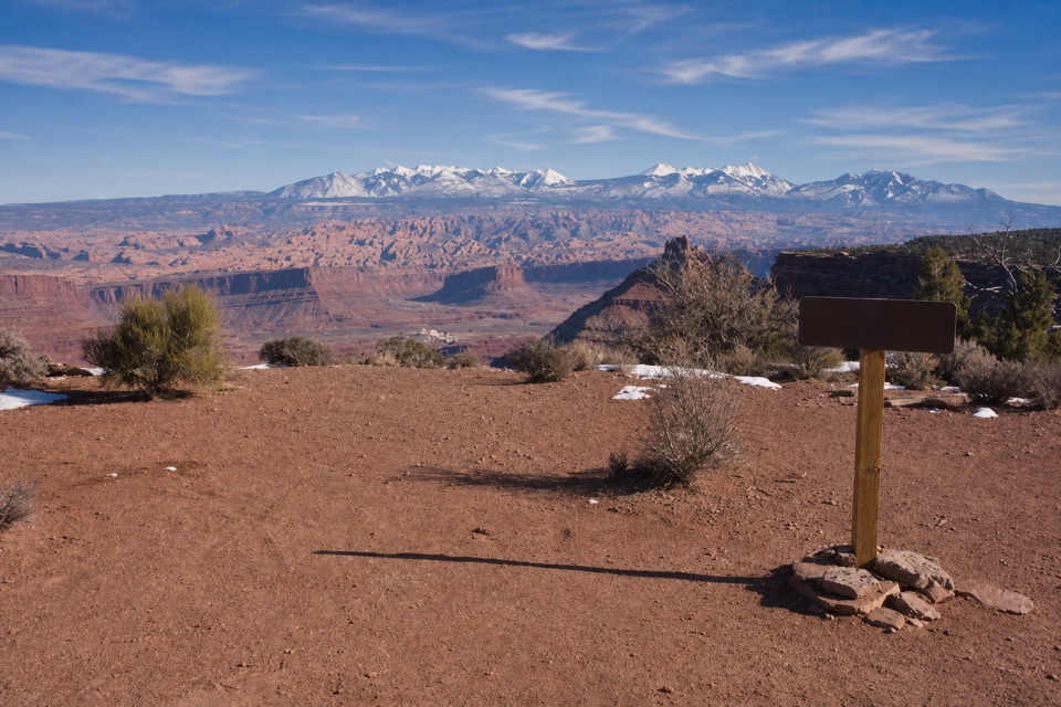 ModerateBig Chief Loop8 mi · 4 hr · At the trailheadAn 8-mile mesa loop with Big Chief and La Sal views.
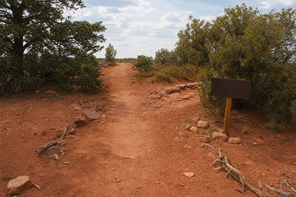 EasyIntrepid Loop1.3 mi · 54 min · At the trailheadA short rim loop returns from Intrepid on a hikers-only path.
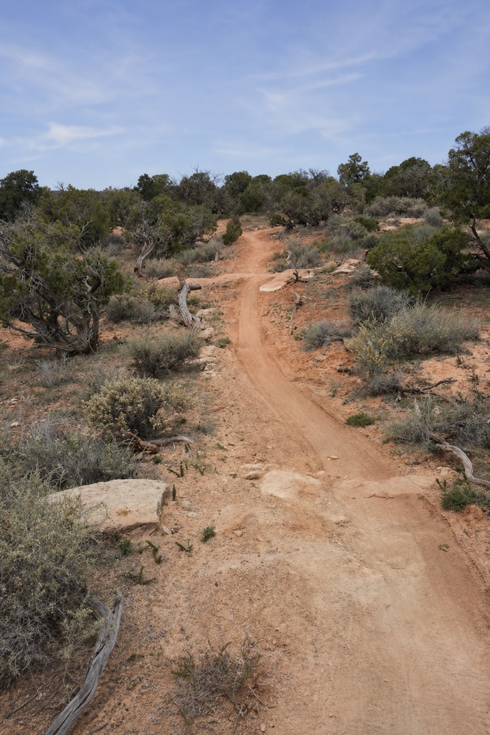 EasyRaven Roll and Crossroads Loop5.9 mi · 2.5 hr · At the trailheadAn easy mesa loop on Raven Roll, Crossroads and the Pair return.
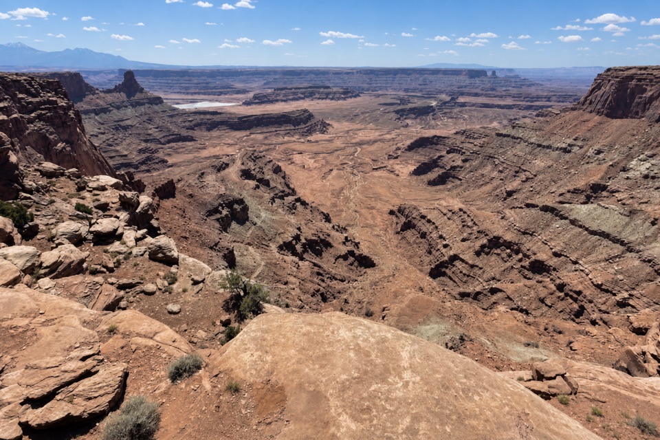 EasyDesert View Overlook Trail1 mi · 36 min · 0.1 mi awayAn easy rim walk to potholes and Colorado River views.
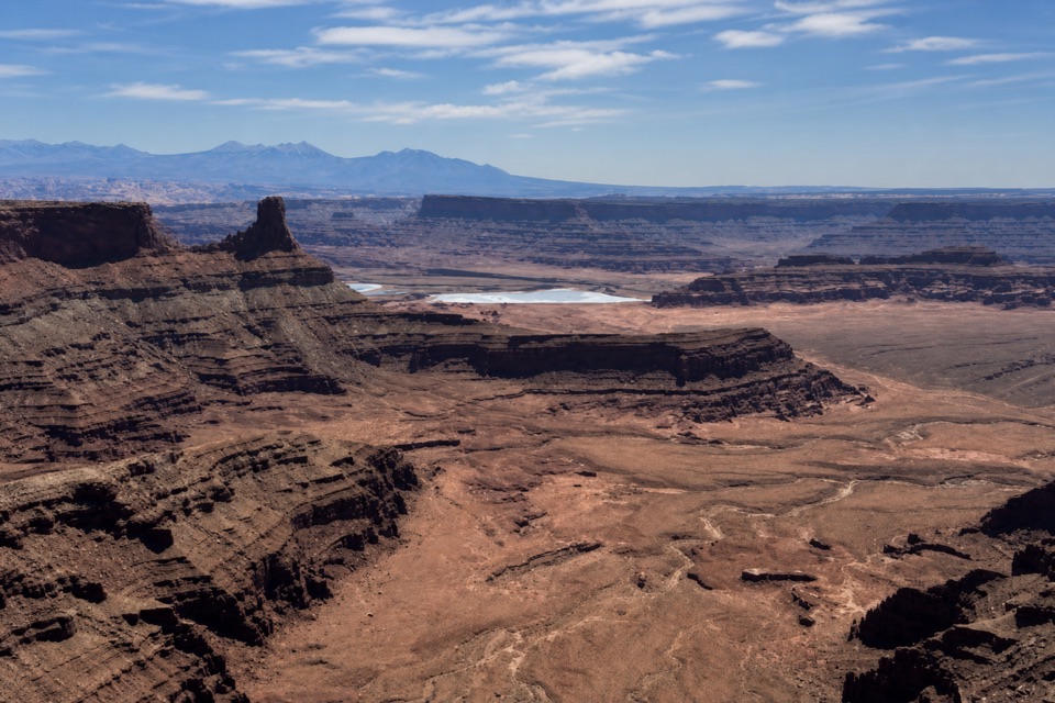 EasyVisitor Center Nature Trail0.3 mi · 30 min · 0.1 mi awayA short paved walk for desert exhibits and basin views.
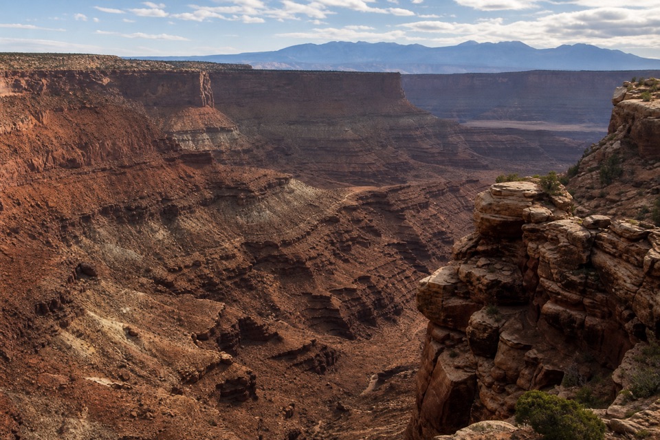 ModerateBighorn Overlook Trail3 mi · 2 hr · 0.1 mi awayCairns lead to deep potholes and a distant horn-shaped fin.
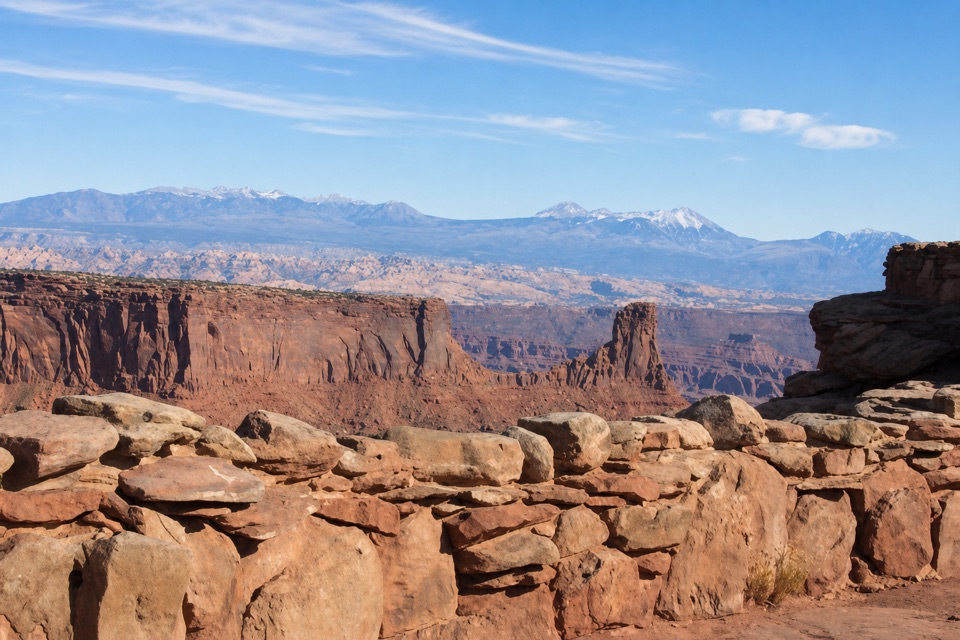 Food · 0.1 mi awayPony Expresso Coffee ShopA quick caffeine stop beside the visitor center, if still operating.
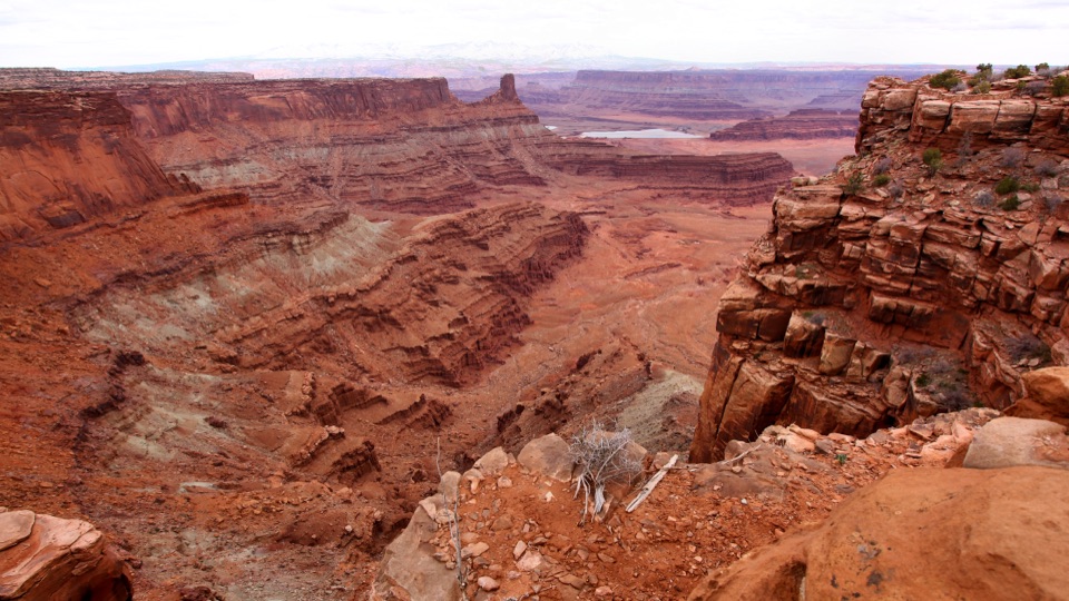 Visitor center · 0.1 mi awayDead Horse Point Visitor CenterA geology primer with a canyon view right outside.
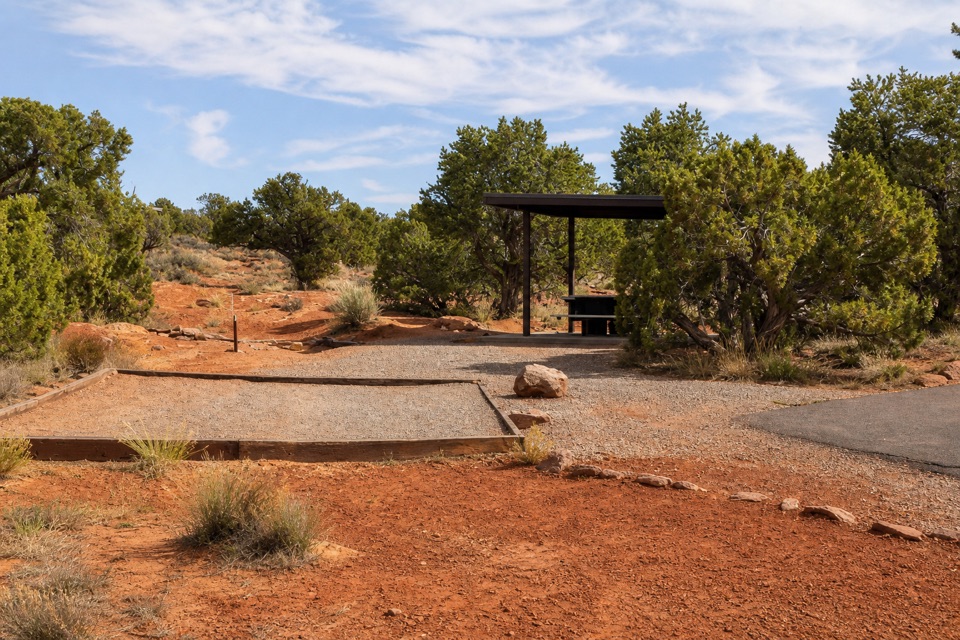 Campground · 0.3 mi awayKayenta CampgroundJuniper shade gives this small campground a tucked-in feel.
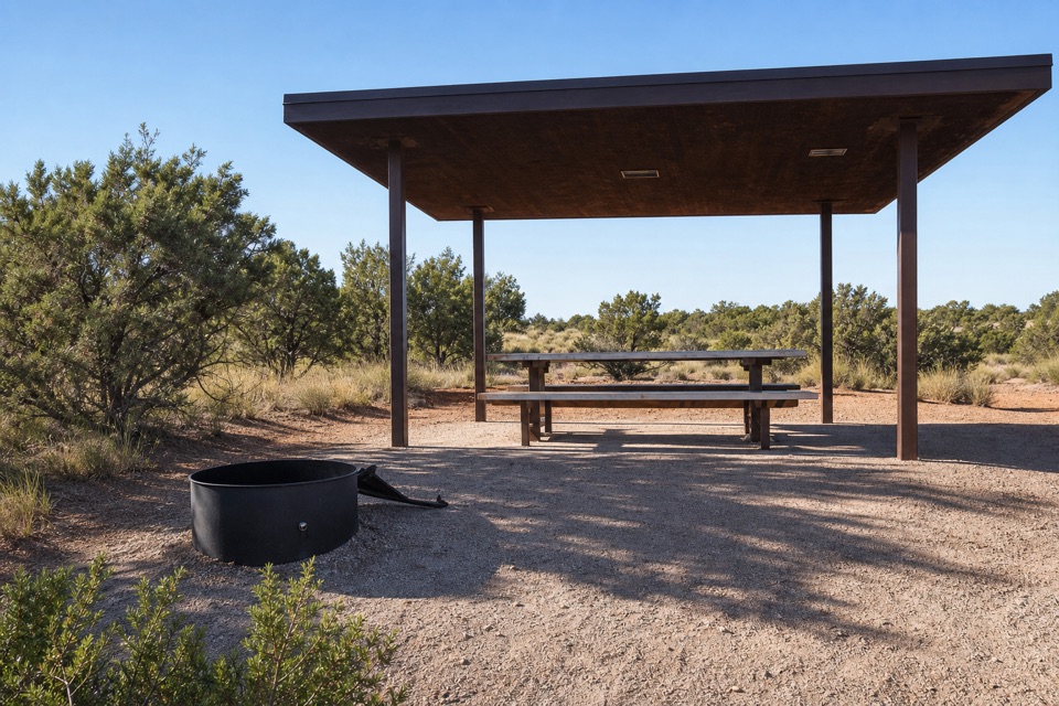 Campground · 0.5 mi awayWingate Campground & YurtsPick from electric sites, walk-in tents, and four mesa-top yurts.
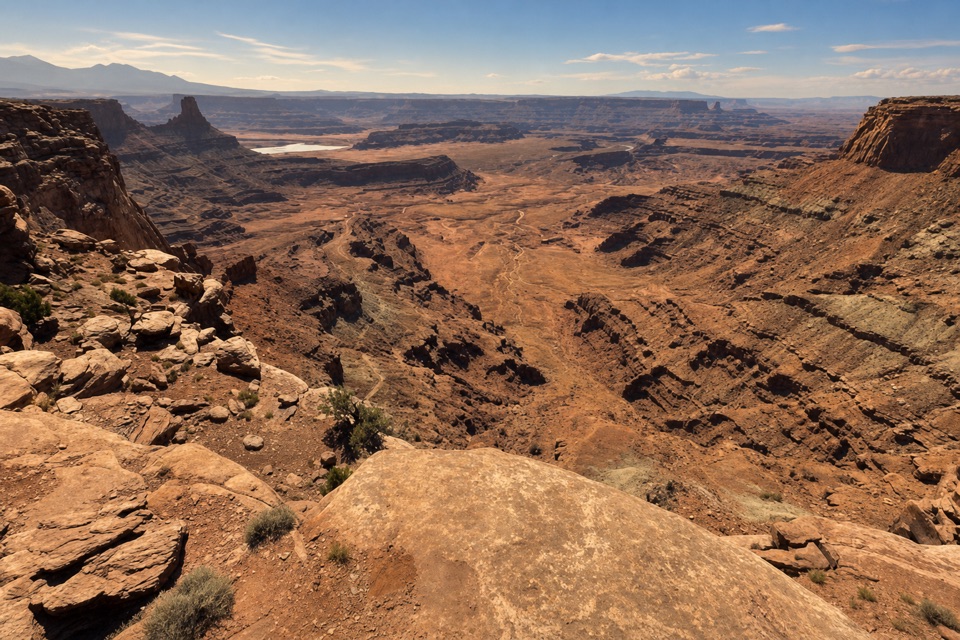 Sight · 0.5 mi awayDesert View OverlookAn easy half-mile walk for canyon layers and a different rim view.
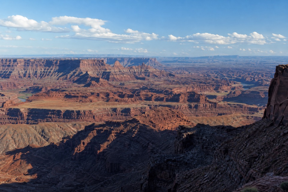 Sight · 0.7 mi awayBasin OverlookA quieter shelf for La Sal Mountains, canyon towers and mining ponds.
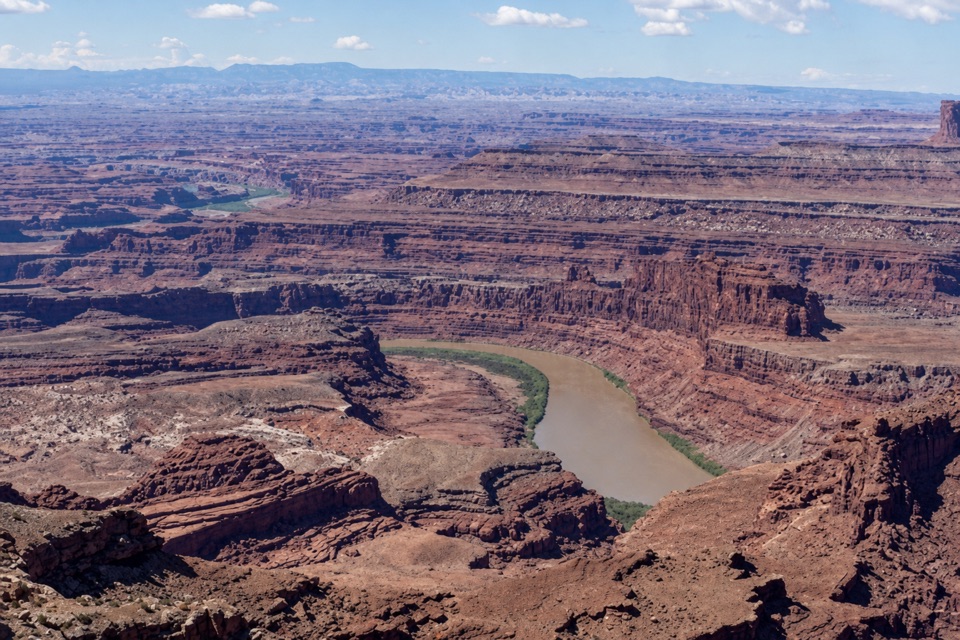 Sight · 0.8 mi awayRim OverlookA West Rim spur for an eastward look into Canyonlands.
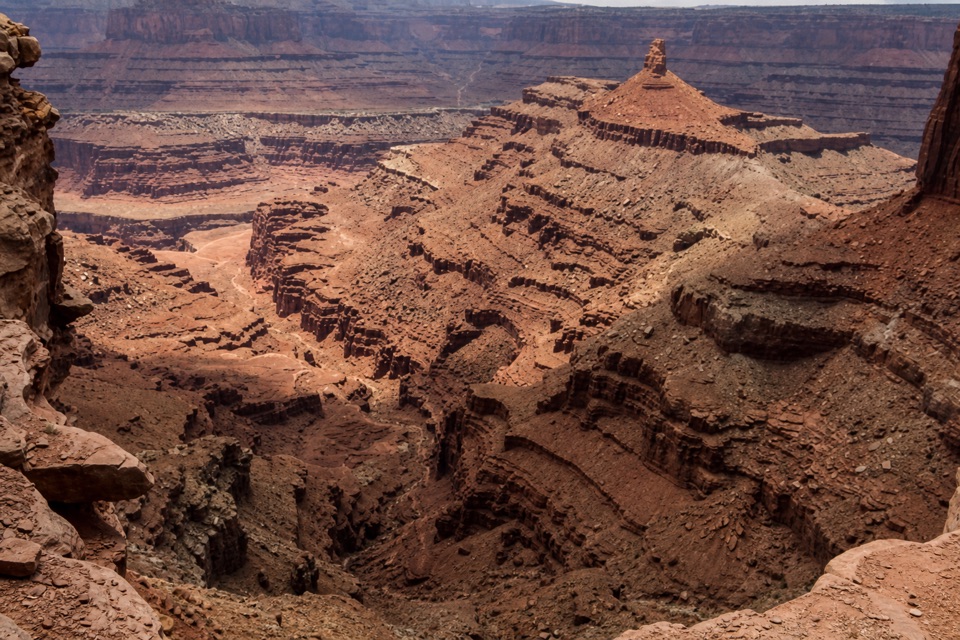 Sight · 0.8 mi awayBig Horn OverlookA long, exposed walk to a different angle on Shafer Canyon.
Parkwolf’s Dead Horse Point ranking

The audio tour guide for the drive, plus offline maps, trails, and wildlife heatmaps for when the signal drops.