Great Pyramid Loop in Dead Horse Point State Park

#8 of 21 trails in Dead Horse Point

Dead Horse Point State Park, UT

Great Pyramid Loop

A gentle desert loop reaches two Colorado River canyon overlooks.

Length
4.4mi
Time
2.5hr
Elev. change
105ft
Difficulty
Easy
  • Loop
  • Dogs allowed
  • High point 5,974 ft

Hear the audio tour

Visitor Center and Desert View

Overview

About Great Pyramid Loop

Why go

  • Two distinct canyon overlooks on one loop.
  • Mostly gentle grades on clear, signed singletrack.

Heads up

  • Mountain bikers share the route.
  • Short sandy and rocky sections interrupt the smooth tread.

Map & elevation

The route

Loading the Dead Horse Point map
Full map
Elevation5,869–5,974 ft
TrailheadDead Horse Point Visitor Center north parking lot38.48893, -109.73617
Keep this map with you offline in the Parkwolf app

Plan your hike

Before you go

Parking

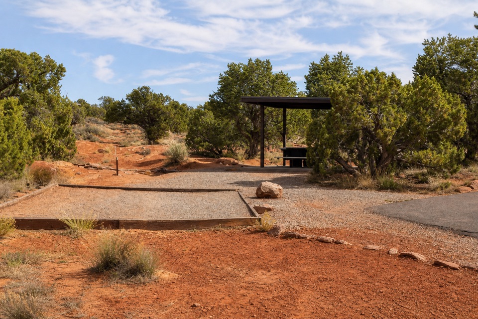
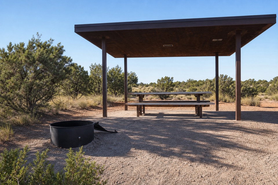
Use the north side of Dead Horse Point Visitor Center parking lot, where the Intrepid access begins. A park day-use fee is required. This is secondary access to the mixed-use system; cyclists are directed to the main lot south of the Entrance Station unless it is full. Restrooms and a bookstore are in the Visitor Center; food service was not verified.


Safety

Mountain bikers share the trail; watch for riders on turns and at junctions. The overlook spurs reach exposed rim edges, so keep children and leashed dogs close. No water stop was verified on this loop; carry your own.

A park ranger sits on a dash-mounted phone, talking, as Parkwolf’s Tour Guide plays “Army Cutworm Moths: A Grizzly Bear Buffet” on Grand Loop Road below Dunraven Pass in Yellowstone
Parkwolf Tour GuideThe highest, rockiest slopes around here are a summer buffet for grizzly bears.

Dead Horse Point Tour Guide

Your drive to Great Pyramid Loop, narrated.

Parkwolf is a GPS audio tour guide for Dead Horse Point State Park. As you drive, it chimes in with what’s ahead: hidden gems, upcoming stops, history, geology, and wildlife, right through your car’s speakers.

Recorded for this area

Visitor Center and Desert View
0:00 / 0:29
“Up ahead is the visitor center, with geology exhibits, an art gallery, and a canyon view just outside.”

Plays on the road 0.1 mi from the trailhead in the Parkwolf Dead Horse Point Tour Guide.

More stories near here in the app

  • Kayenta Campground
  • Visitor Center Rim Trails
  • Wingate Campground and Yurts
  • Intrepid Trailhead and Cable Line
  • 11 audio storiesacross Dead Horse Point’s roads, triggered by GPS as you drive
  • Wildlife heatmapsfor Raven, Whiptail Lizard, Fence Lizard, and 1 more
  • Works offlinemaps, 21 trails, 22 places, and audio download before you lose signal
  • CarPlay readysimple controls built for the drive
★★★★★
“Fantastic app with many points of information… It’s great to just turn on while you’re driving and it gives you an audio tour of the national Park. We love it!!!!”
JMJamesApp Store review
Download Parkwolf on the App StoreGet Parkwolf on Google Play

4.7 from 8,600+ ratings

Trail guide

Hiking Great Pyramid Loop

Two overlooks on one loopGreat Pyramid Loop is a 4.

Great Pyramid Loop is a 4.4-mile mixed-use circuit from the north end of the Visitor Center parking lot. It follows Intrepid to the Great Pyramid corridor, then returns on Raven Roll. Allow about 2.5 hours on foot, including the overlooks; the distance counts the full walk from the lot and reuses the first stretch of Intrepid on the return. Choose it for an easy half-day walk with two different canyon views, rather than another quick roadside stop.

Follow the marked routeFrom the Visitor Center, take Intrepid toward the Great Pyramid trail.

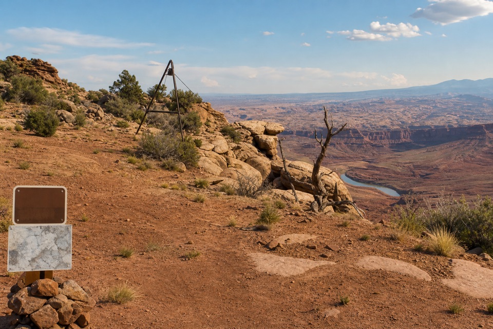
From the Visitor Center, take Intrepid toward the Great Pyramid trail. The Colorado River Overlook comes first, about 0.6 mile from the start. Continue along the signed Great Pyramid corridor to its namesake overlook, roughly 1.5 miles in, then follow the Raven Roll connection back to Intrepid and the parking lot. The route is easy to follow at signed junctions. A longer Big Chief loop is available in the same trail system, but it is a different outing.

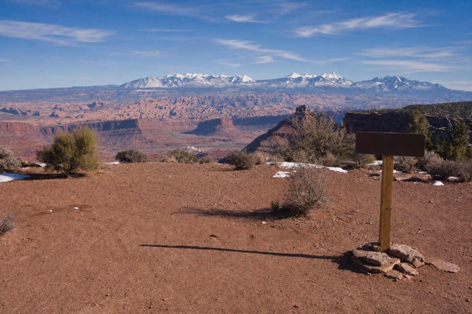
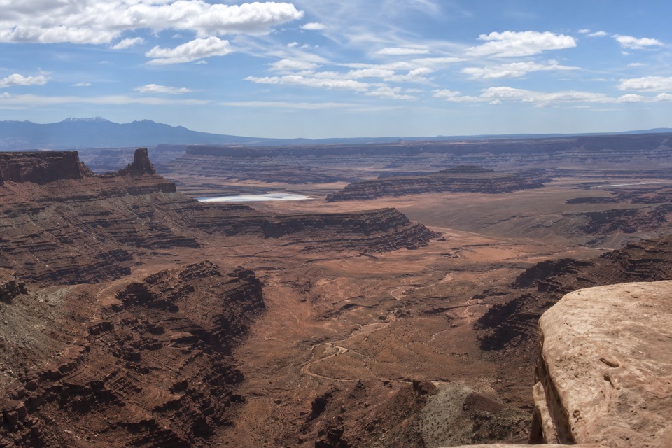
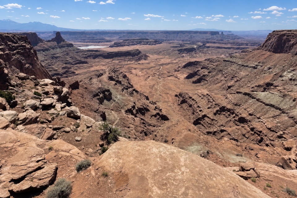
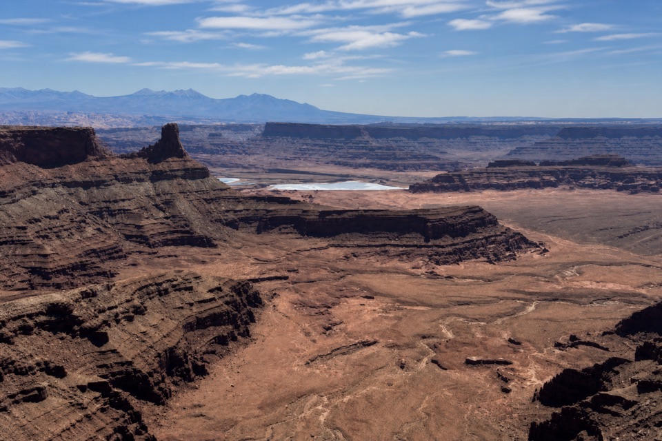
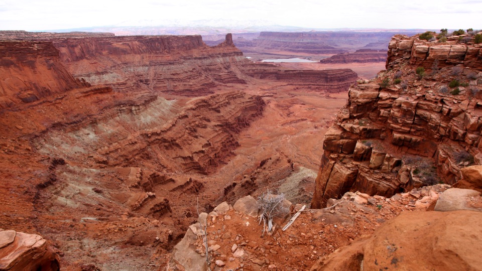
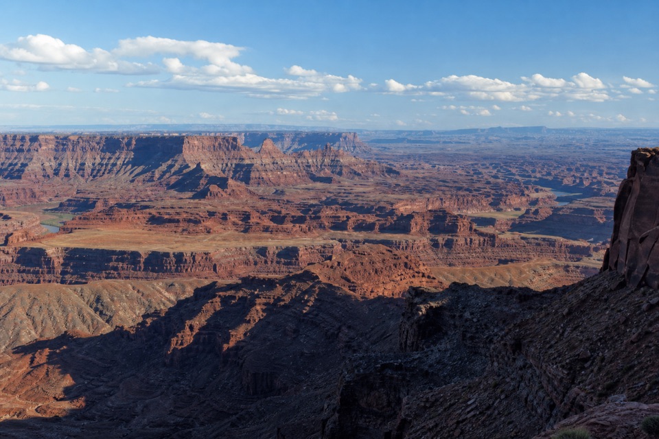
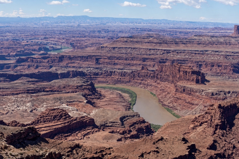
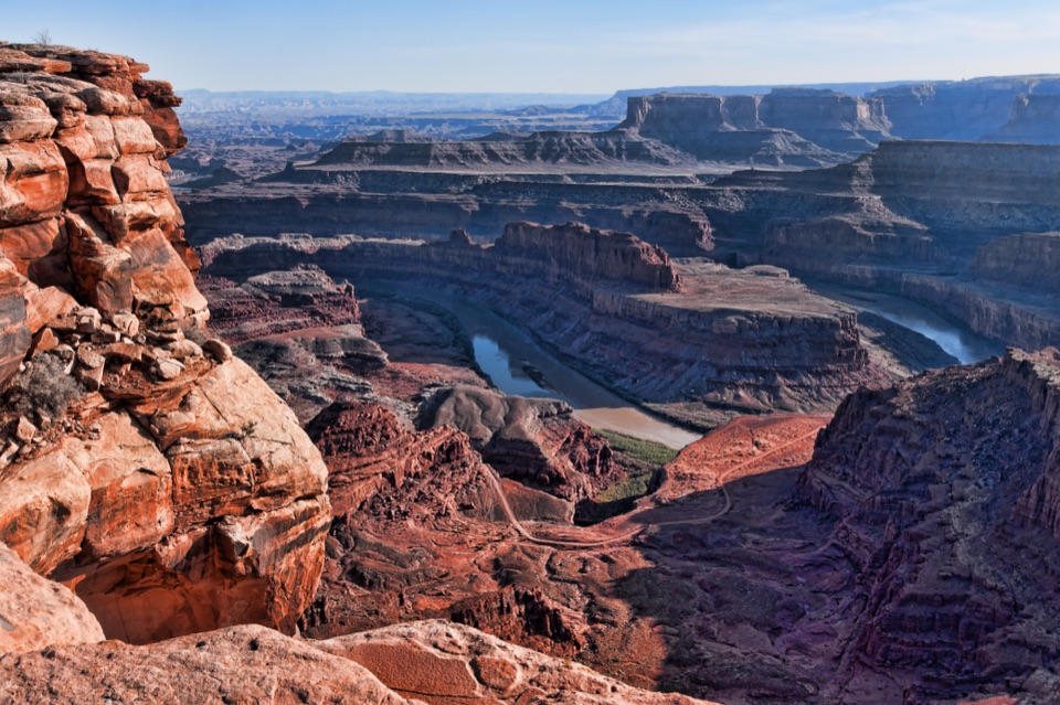
Look into the canyonThe first overlook opens over the Colorado River canyon and toward the potash evaporation ponds.

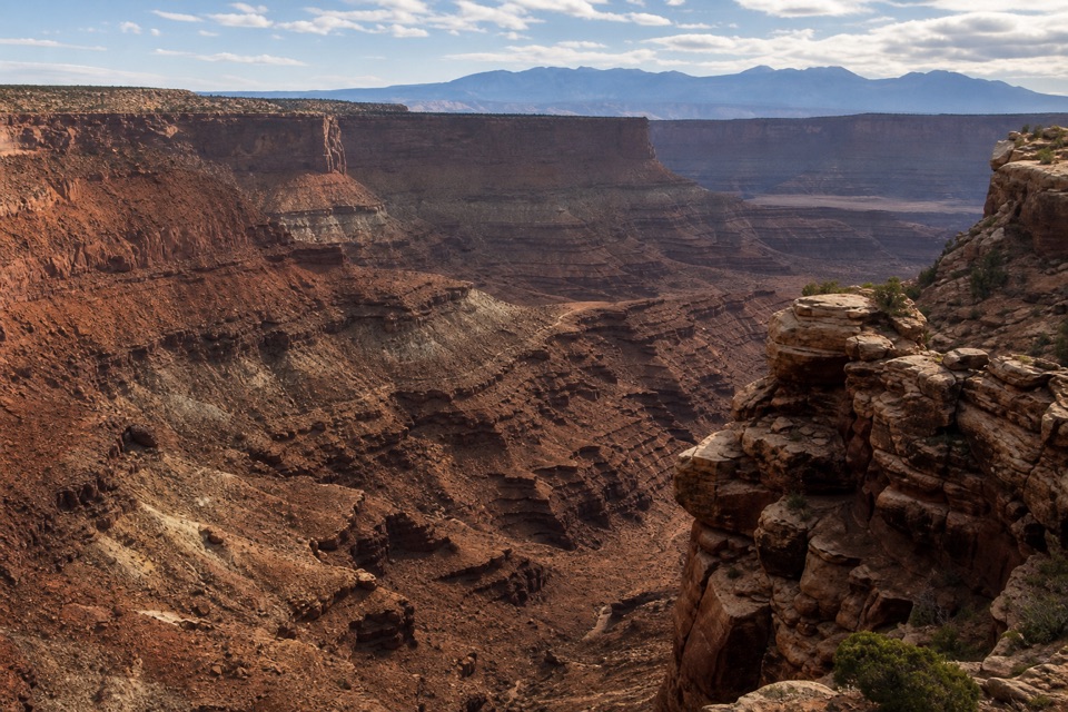
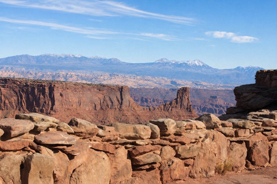
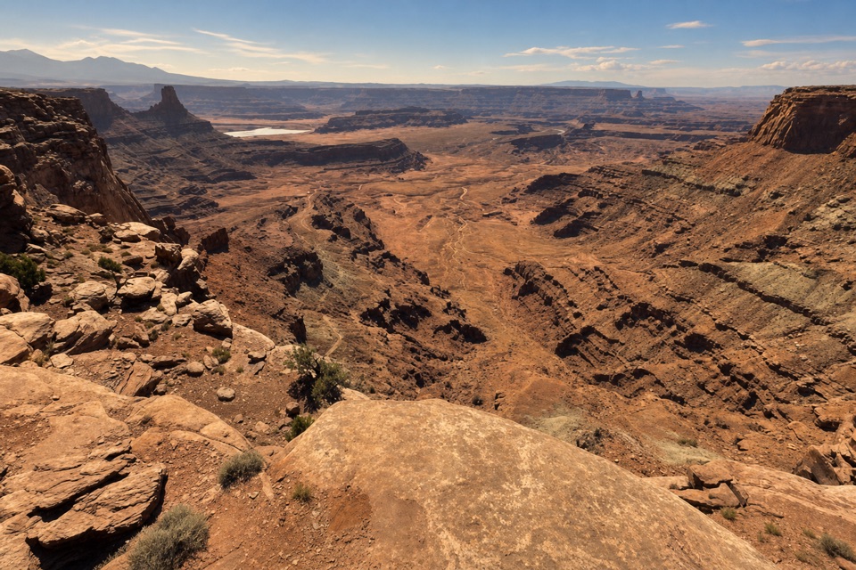
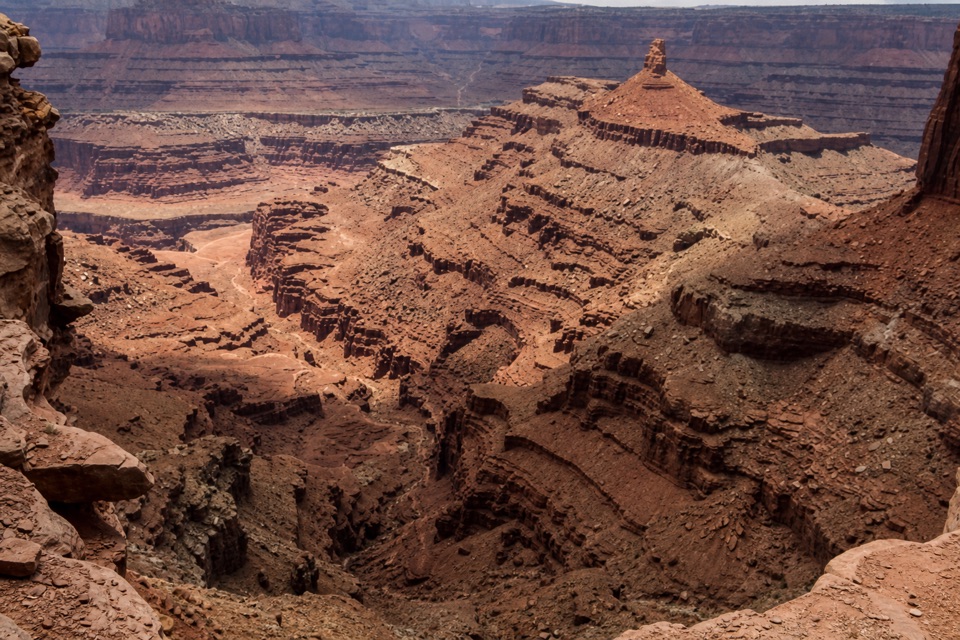
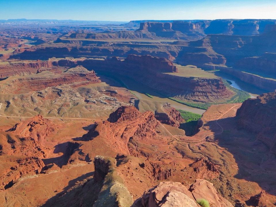
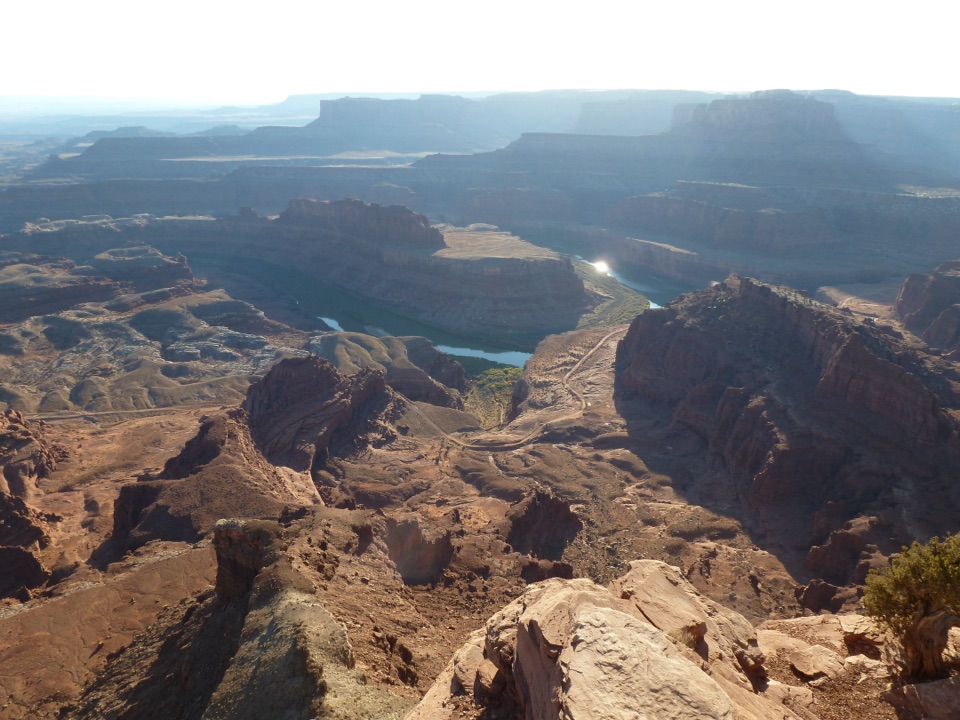
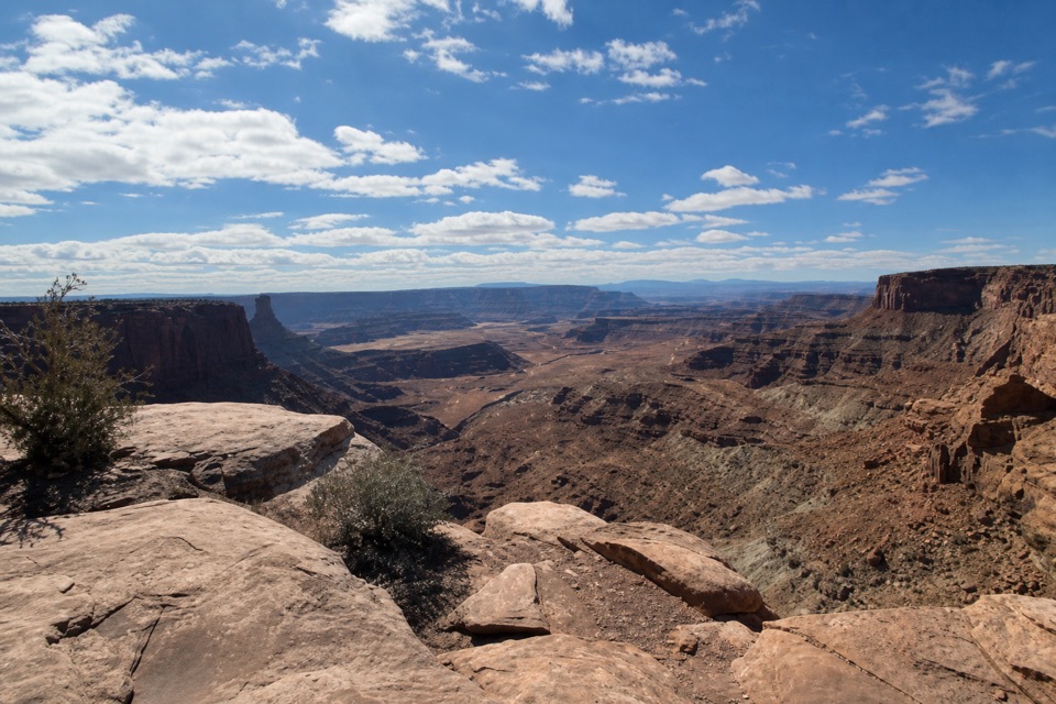
The first overlook opens over the Colorado River canyon and toward the potash evaporation ponds. The pale rim rock here is Moenkopi mudstone; the ponds recover potash from the Paradox Salt Formation. Farther along, the Great Pyramid Overlook looks down the canyon and toward the distant formation that gives the trail its name. For a photo, leave a sandstone ledge in the foreground and let the layered canyon fill the frame; that shows the drop and the distance better than a tight shot of red rock.

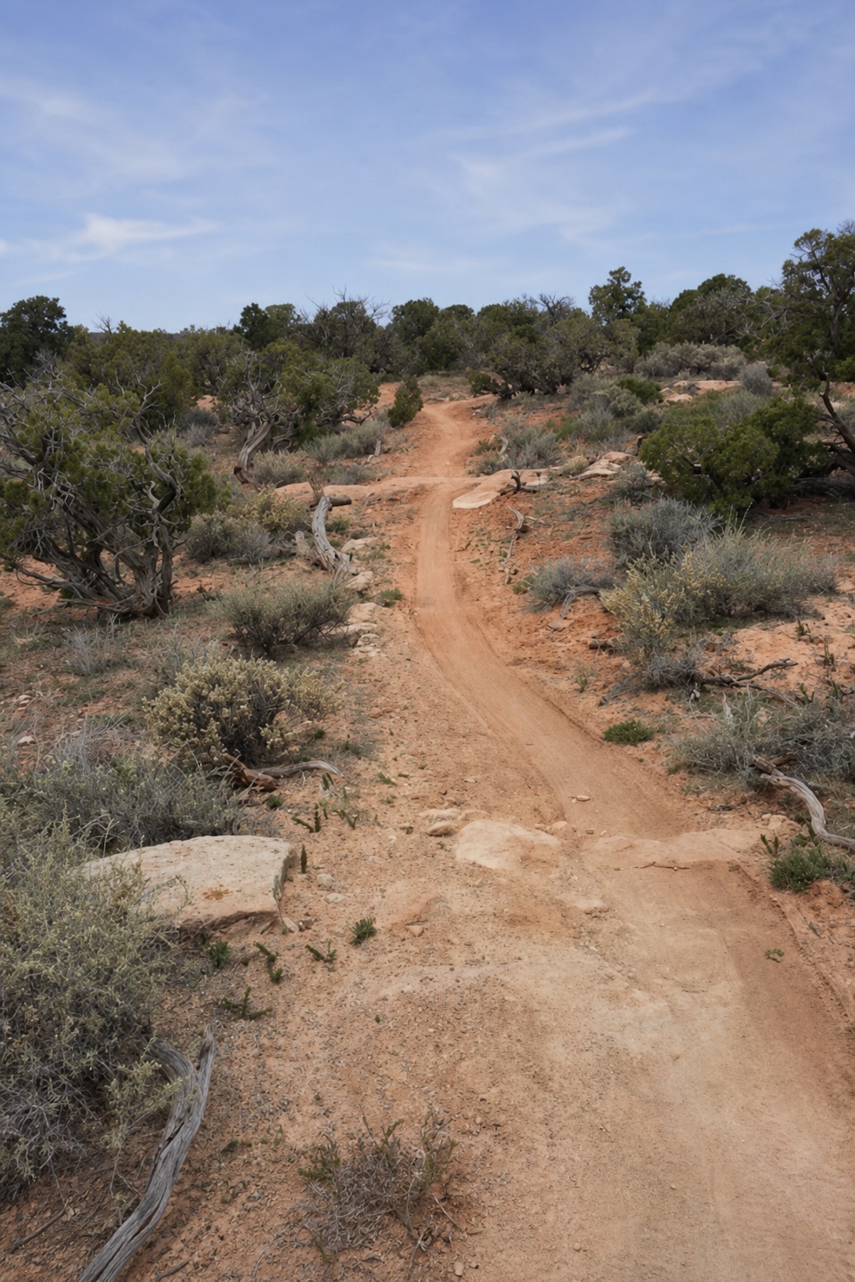
An easy grade with a few rough patchesMost of the tread is packed dirt singletrack, with rocks and occasional logs defining the line.

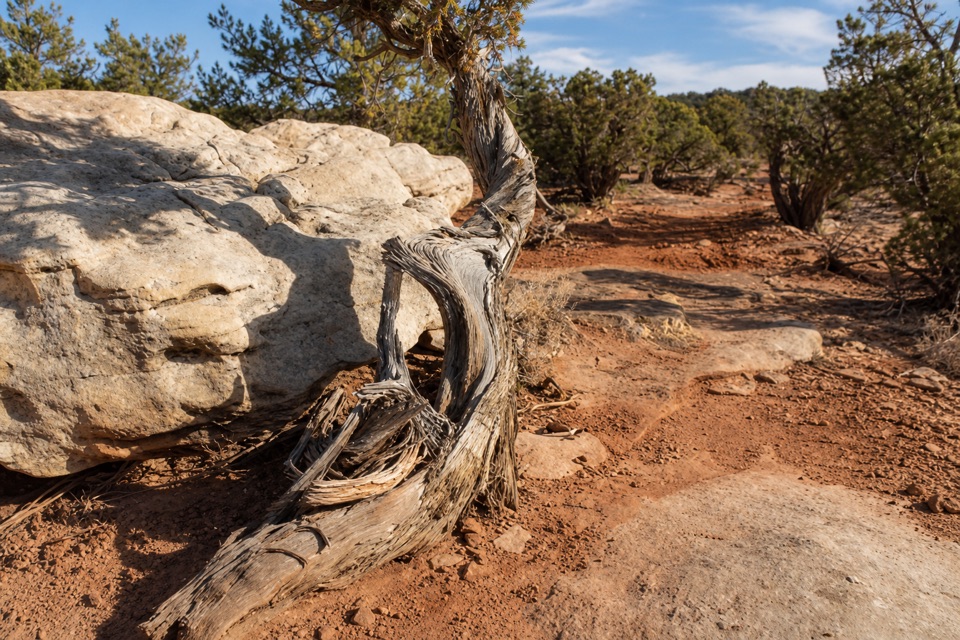
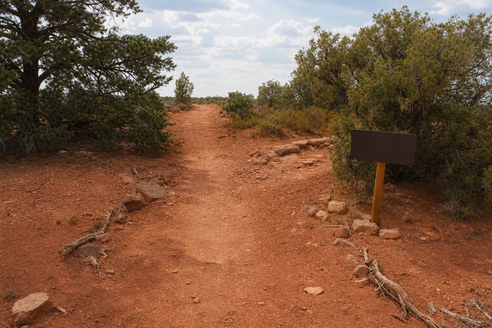
Most of the tread is packed dirt singletrack, with rocks and occasional logs defining the line. The grade is generally gentle; expect a few soft sandy spots and short rock shelves, especially beyond the Great Pyramid viewpoint. It is a relaxed walk rather than a paved path, and the two overlook spurs are the places to slow down near the rim.

Access and trail etiquetteStart at the north side of the Visitor Center parking lot and use the Intrepid access.

Start at the north side of the Visitor Center parking lot and use the Intrepid access. Park day-use fees apply. Restrooms and a bookstore are in the Visitor Center, off the trail; current food service was not verified. This is a shared route with mountain bikers, so keep an ear out at turns and junctions. Dogs are allowed on leash throughout the park's bike trails; keep them close on the overlook spurs.
Wildlife

Wildlife in Dead Horse Point

All Dead Horse Point wildlife maps

Sighting maps show where each species has been reported across Dead Horse Point. Wildlife moves, so no sighting is guaranteed.

Keep exploring

Near Great Pyramid Loop

See it all on the map

Trails that start nearby

Places near the trailhead

Parkwolf’s Dead Horse Point ranking

Top-rated trails in Dead Horse Point

All 21 trails
  1. 1Overlook TrailEasy · 0.1 mi
  2. 2East and West Rim LoopModerate · 4.4 mi
  3. 3Bighorn Overlook TrailModerate · 3 mi
  4. 4West Rim TrailModerate · 2.9 mi
  5. 5East Rim Trail to Dead Horse PointEasy · 1.7 mi
  6. 6Cable Line TrailModerate · 6.1 mi

Take Parkwolf to Dead Horse Point.

The audio tour guide for the drive, plus offline maps, trails, and wildlife heatmaps for when the signal drops.

4.7 from 8,600+ ratings

Download Parkwolf on the App StoreGet Parkwolf on Google Play