Best time to visit
Aim for the cooler months and start at sunrise or late afternoon for the best light and manageable temperatures. This area is popular, so trailhead parking can fill early during peak season. Weekdays and early starts help.

#10 of 74 sights in Death Valley
Sight · Death Valley National Park
Badlands canyon with dryfalls, color, and a classic loop finish
Overview
Gower Gulch is a sculpted desert canyon that anchors the "best-of" hiking loop linking Golden Canyon with the badlands below Zabriskie Point. Think glowing mudstone walls, maze-like badlands, and a finale through a rugged wash where dry waterfalls add a little adventure.
Map
Local know-how
Hike at sunrise or late afternoon for cooler temps and the best light.
Carry more water than you think you need and strong sun protection.
Grab the NPS Golden Canyon–Gower Gulch–Badlands map before you go.
Expect short scrambles and use the bypass around the largest dryfall.
Start from Zabriskie Point if you want a dramatic sunrise before dropping into the gulch.
Plan your stop

The highest, rockiest slopes around here are a summer buffet for grizzly bears.
Death Valley Tour Guide
Parkwolf is a GPS audio tour guide for Death Valley National Park. As you drive, it chimes in with what’s ahead: hidden gems, upcoming stops, history, geology, and wildlife, right through your car’s speakers.
See the Death Valley audio tourRecorded for this place
Gower Gulch: The Famous Loop's Finale“This part of the badlands is carved by Gower Gulch, which serves as the grand finale for the popular hiking loop connecting Golden Canyon and Zabriskie Point.”
Plays as you drive up to Gower Gulch in the Parkwolf Death Valley Tour Guide.
More stories near here in the app
“Fantastic app with many points of information… It’s great to just turn on while you’re driving and it gives you an audio tour of the national Park. We love it!!!!”


Guide
Most visitors experience Gower Gulch as part of the Golden Canyon–Gower Gulch loop, typically 4.4–6.5 miles depending on options. Expect mostly gentle grades with sections of loose footing and short, easy scrambles at the dryfalls. The last connector back toward the road can feel exposed and a bit tiresome.
Named for borax figure Harry P. Gower, the gulch threads through classic Death Valley formations. The canyon’s "knickzones" (dryfalls) and eroded badlands showcase the park’s geology in a compact package.
Wildlife is sparse in this harsh environment. You might spot lizards and the occasional bird in the quieter stretches, but this hike is more about geology and views than animal sightings.
Wildlife
 71 sightingsBighorn SheepMost seen around 6 PMSighting map
 101 sightingsDesert TortoiseMost seen around 8 AMSighting map
 458 sightingsCoyoteMost seen around 6 PMSighting map
 28 sightingsFeral BurroMost seen around 5 PMSighting map
 30 sightingsMule DeerMost seen around 7 PMSighting map
 62 sightingsKit FoxMost seen around 7 PMSighting map
Sighting maps show where each species has been reported across Death Valley. Wildlife moves, so no sighting is guaranteed.
Keep exploring
 ModerateGolden Canyon to Red Cathedral3 mi · 1.8 hr · 0.8 mi awayA 3-mile Golden Canyon out-and-back to the red walls of Red Cathedral.
 ModerateGolden Canyon and Gower Gulch Loop4.3 mi · 2.5 hr · 0.8 mi awayModerate badlands loop linking Golden Canyon and Gower Gulch
 ModerateDesolation Canyon Trail3.6 mi · 2.5 hr · 1.1 mi awayColor-drenched badlands and a quiet canyon with easy scrambles
 ChallengingZabriskie Point to Golden Canyon7.8 mi · 4.5 hr · 1.7 mi awayStrenuous 7.8-mile loop from Zabriskie Point through Gower Gulch and Golden Canyon
 ModerateBadlands Loop (Zabriskie Point)2.7 mi · 1.8 hr · 1.7 mi awayA 2.7-mile moderate loop through colorful badlands below Zabriskie Point.
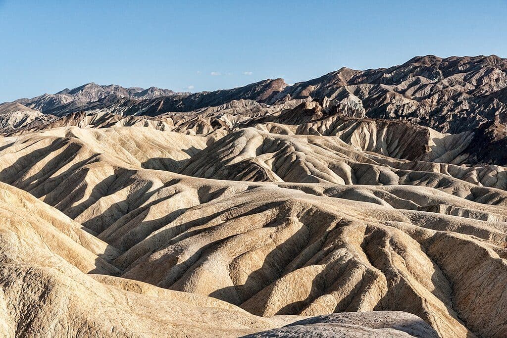 EasyZabriskie Point Overlook Trail0.3 mi · 8 min · 1.8 mi awayA short paved out-and-back from the Zabriskie Point parking area to Death Valley's iconic badlands overlook.
 EasyArtist's Palette Wash0.4 mi · 48 min · 3.9 mi awayExplore a short, unmaintained loop through Death Valley's rainbow badlands.
 Sight · 0.8 mi awayGolden CanyonGolden badlands to Red Cathedral with a classic loop option
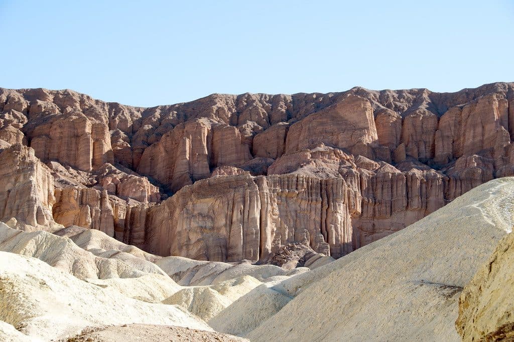 Sight · 1.2 mi awayRed CathedralFluted crimson walls capping Golden Canyon with a fun scramble
 Sight · 1.2 mi awayManly BeaconA sharp badlands spire near Zabriskie Point’s trails
 Sight · 1.3 mi awayDesolation CanyonColorful, quiet badlands hike with late-afternoon glow and big views
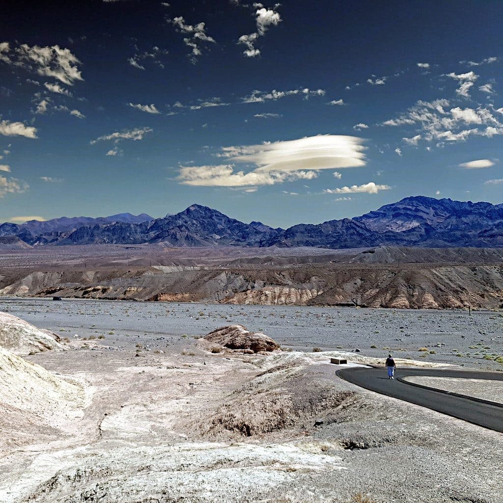 Sight · 1.7 mi awayZabriskie PointSignature badlands vista that lights up at sunrise
 Sight · 1.8 mi awayMushroom RockHidden roadside pedestal rock with a storied past
 Sight · 2.5 mi awayTwenty Mule Team CanyonShort, roller-coaster dirt drive through yellow badlands
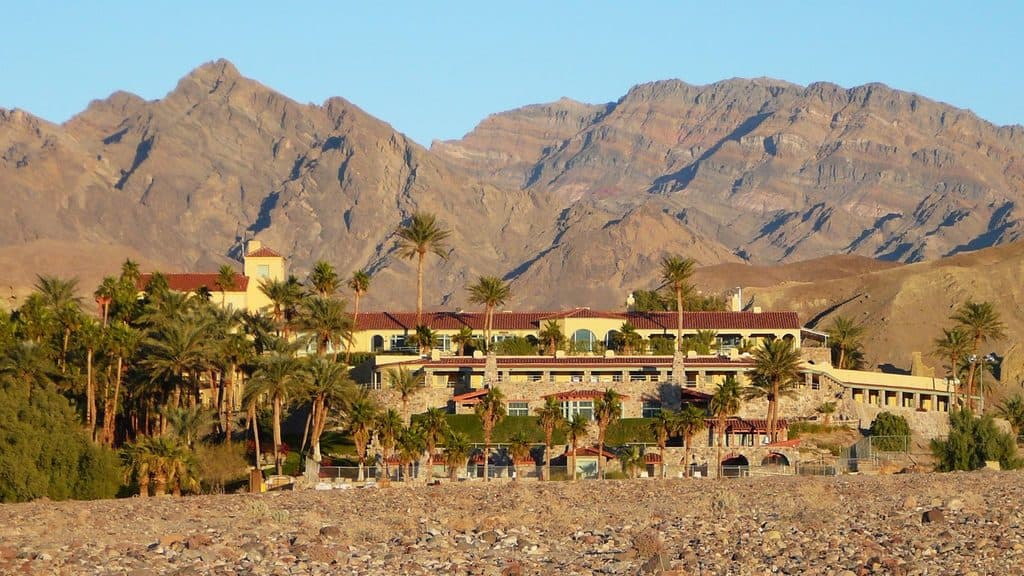 Lodging · 2.8 mi awayInn at Death ValleyHistoric desert oasis with a spring‑fed pool and starry skies
Parkwolf’s Death Valley ranking

The audio tour guide for the drive, plus offline maps, trails, and wildlife heatmaps for when the signal drops.


