Parking
Use the Artists Palette parking area on the one-way Artists Drive Scenic Loop. The National Park Service lists auto parking and vault or composting toilets at the site. Artists Drive has a 25-foot vehicle length restriction.

#7 of 36 trails in Death Valley
Death Valley National Park, CA · NV
Explore a short, unmaintained loop through Death Valley's rainbow badlands.
Overview
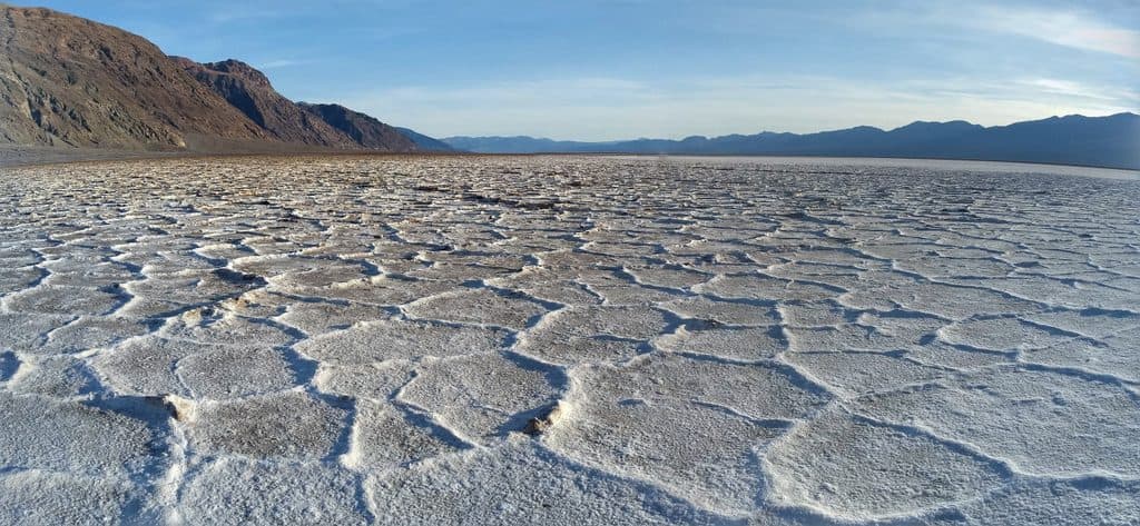
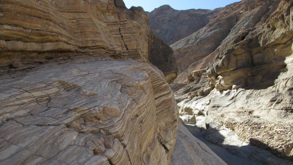
Artists Palette is a short, unmaintained lollipop walk into Death Valley's colorful badlands, the signature stop on the one-way Artists Drive Scenic Loop. This documented route is approximately 0.4 miles round trip and reaches vivid mineral-stained hills below the Black Mountains. The loop is a visitor exploration route rather than a maintained trail; the stored line follows the mapped wash and connecting paths for the customary circuit.
Map & elevation
Plan your hike

The highest, rockiest slopes around here are a summer buffet for grizzly bears.
Death Valley Tour Guide
Parkwolf is a GPS audio tour guide for Death Valley National Park. As you drive, it chimes in with what’s ahead: hidden gems, upcoming stops, history, geology, and wildlife, right through your car’s speakers.
See the Death Valley audio tourRecorded for this trailhead
Artists Drive Scenic Loop and Palette“You'll soon see the turn for Artists Drive, a nine-mile, one-way scenic loop. It's a fun road with lots of twists and dips, so vehicles over 25 feet aren't allowed.”
Plays as you drive up to this trailhead in the Parkwolf Death Valley Tour Guide.
More stories near here in the app
“Fantastic app with many points of information… It’s great to just turn on while you’re driving and it gives you an audio tour of the national Park. We love it!!!!”


Trail guide
Park at the Artists Palette parking area and walk into the wash from the lot. Follow the mapped path east and northeast, climb gently through the colored badlands, complete the short loop among the hills, and retrace the approach to the parking area. The route is a lollipop loop, with the parking area as both start and finish. Optional scrambling and side gullies are outside the stored line and can be confusing.
Easy overall but unmaintained: expect sandy wash, gravel, loose volcanic rubble, and short uneven climbs. There is no maintained or signed trail, so route-finding is part of the experience. Avoid brittle slopes; stay on durable surfaces and turn around if footing or heat becomes unsafe. The route has roughly 147 feet of rolling elevation gain.
Artists Drive is one-way and begins 8.5 miles south of the Highway 190/Badwater Road junction. The Artists Palette parking area is reached along the drive. The National Park Service lists parking and vault or composting toilets at the site. Vehicles longer than 25 feet are restricted on Artists Drive. There is no water or shade, so bring plenty of water, sun protection, and sturdy footwear. Allow about 30 to 60 minutes, depending on photos and careful footing.
Stay on durable surfaces where possible, do not climb or break the brittle colored hills, and pack out everything. Pets are not allowed on this route.
Wildlife
 71 sightingsBighorn SheepMost seen around 6 PMSighting map
 101 sightingsDesert TortoiseMost seen around 8 AMSighting map
 458 sightingsCoyoteMost seen around 6 PMSighting map
 28 sightingsFeral BurroMost seen around 5 PMSighting map
 30 sightingsMule DeerMost seen around 7 PMSighting map
 62 sightingsKit FoxMost seen around 7 PMSighting map
Sighting maps show where each species has been reported across Death Valley. Wildlife moves, so no sighting is guaranteed.
Keep exploring
 ModerateDesolation Canyon Trail3.6 mi · 2.5 hr · 3 mi awayColor-drenched badlands and a quiet canyon with easy scrambles
 ChallengingZabriskie Point to Golden Canyon7.8 mi · 4.5 hr · 3.9 mi awayStrenuous 7.8-mile loop from Zabriskie Point through Gower Gulch and Golden Canyon
 ModerateBadlands Loop (Zabriskie Point)2.7 mi · 1.8 hr · 3.9 mi awayA 2.7-mile moderate loop through colorful badlands below Zabriskie Point.
 EasyZabriskie Point Overlook Trail0.3 mi · 8 min · 4 mi awayA short paved out-and-back from the Zabriskie Point parking area to Death Valley's iconic badlands overlook.
 ModerateGolden Canyon to Red Cathedral3 mi · 1.8 hr · 4.6 mi awayA 3-mile Golden Canyon out-and-back to the red walls of Red Cathedral.
 ModerateGolden Canyon and Gower Gulch Loop4.3 mi · 2.5 hr · 4.6 mi awayModerate badlands loop linking Golden Canyon and Gower Gulch
 ModerateNatural Bridge Canyon Trail1.4 mi · 1 hr · 6 mi awayRocky out-and-back to a natural bridge and dry falls
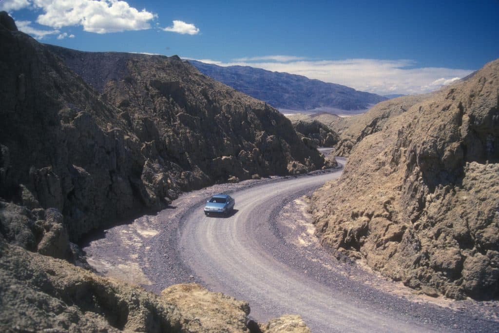 EasyMustard Canyon Loop1.3 mi · 30 min · 9 mi awayOne-way drive through mustard-colored badlands from Harmony Borax Works to CA-190
 Sight · 0.3 mi awayArtists PaletteRainbow badlands you can wander right from the car
 Sight · 2.7 mi awayDesolation CanyonColorful, quiet badlands hike with late-afternoon glow and big views
 Sight · 3.2 mi awayTwenty Mule Team CanyonShort, roller-coaster dirt drive through yellow badlands
 Sight · 3.2 mi awayMushroom RockHidden roadside pedestal rock with a storied past
 Sight · 3.9 mi awayGower GulchBadlands canyon with dryfalls, color, and a classic loop finish
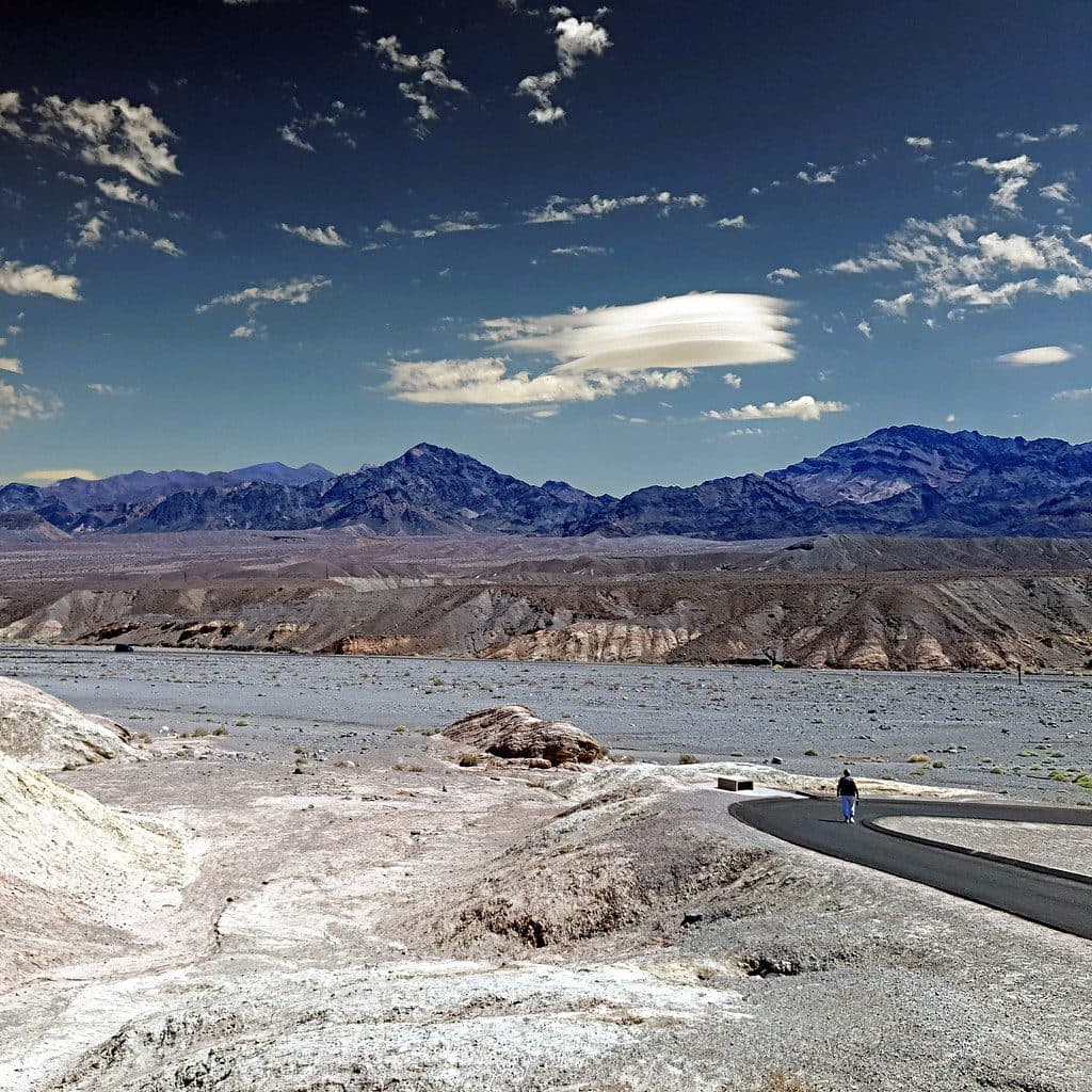 Sight · 3.9 mi awayZabriskie PointSignature badlands vista that lights up at sunrise
 Sight · 4 mi awayDevil's Golf CourseA jagged salt labyrinth where the ground crackles under the sun
 Sight · 4.3 mi awayManly BeaconA sharp badlands spire near Zabriskie Point’s trails
Parkwolf’s Death Valley ranking

The audio tour guide for the drive, plus offline maps, trails, and wildlife heatmaps for when the signal drops.