Parking
Informal roadside parking at Wilson Spring, at the end of Johnson Canyon Road. High clearance is needed to the canyon mouth; four-wheel drive is required for the final four miles. No developed parking area was found.
Death Valley National Park, CA · NV
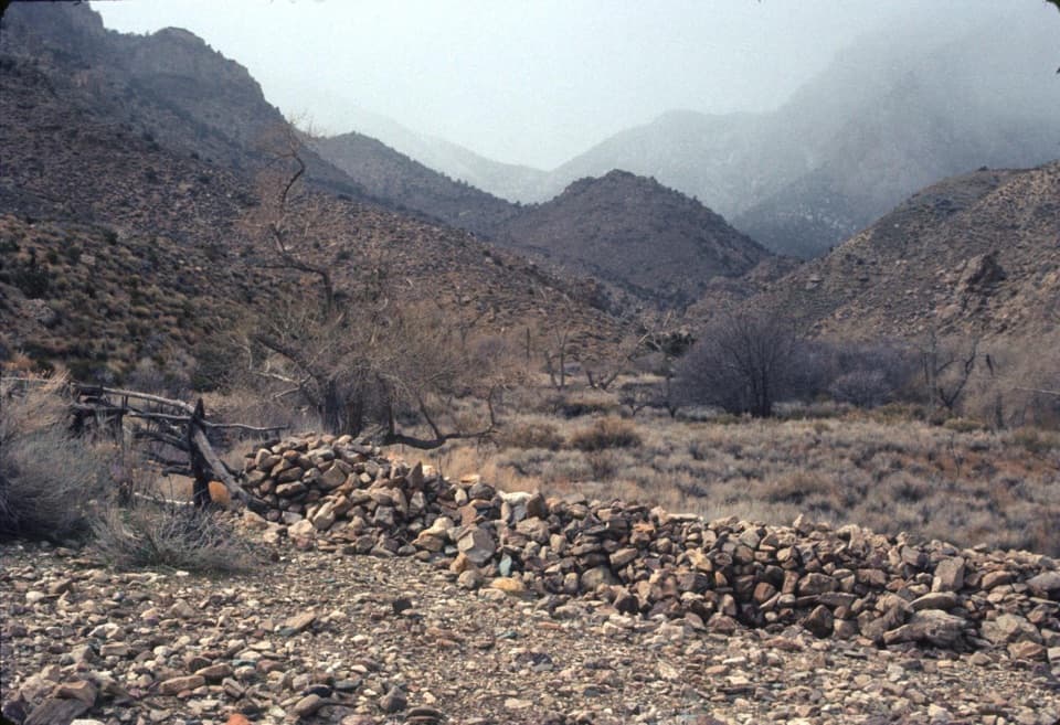
Follow the creek to old orchards and stone walls.
Photo: The Greater Southwestern Exploration Company, CC BY 2.0, via Flickr. Photograph taken March 3, 1974
Overview
Map & elevation
Plan your hike

The highest, rockiest slopes around here are a summer buffet for grizzly bears.
Death Valley Tour Guide
Parkwolf is a GPS audio tour guide for Death Valley National Park. As you drive, it chimes in with what’s ahead: hidden gems, upcoming stops, history, geology, and wildlife, right through your car’s speakers.
See the Death Valley audio tour“Fantastic app with many points of information… It’s great to just turn on while you’re driving and it gives you an audio tour of the national Park. We love it!!!!”


Trail guide
This is an out-and-back from the end of Johnson Canyon Road, following the spring-fed canyon to the ranch clearings. The mapped walk is about 3.3 miles round trip to the orchard area; allow two to three hours. The footing and navigation make it more than a casual stroll: the trail is an unmaintained chain of use paths, with a steep brush bypass and several creek crossings. The ranch spreads across the wash, so exploring beyond the mapped orchard adds distance. Some route descriptions count about two miles from the road end to the ranch site; use the mapped route as an approximate visit to the central clearings.
Start by Wilson Spring, where the road ends. The path follows water through a narrowing canyon with small pools and dense vegetation. Cairns mark crossings, but branches can fade into brush or return to the creek. The most continuous way stays higher on the south and west sides, climbing steeply around the thickest growth before opening views down into Johnson Canyon. Take care on the uneven side paths and check each crossing before stepping across.
A circular stone arrastre, a small ore-crushing mill, sits beside the route about a tenth of a mile in. Farther up, long unmortared walls trace the canyon sides. Around 1.2 miles in, the canyon turns at a second spring; two close creek crossings lead into the first ranch clearing. Beyond it are orchard traces, terraces, foundations, fences and irrigation works. The wide stone walls against the canyon slope are the defining view; framing a long stretch of wall with the steep backdrop shows how much land the old gardens covered.
This site was Puaitungani, a Shoshone village, before William Johnson established a ranch here in the 1870s. A Shoshone man known as Hungry Bill later returned with his family to cultivate the gardens; they lived here until about 1919. The stone terraces and irrigation traces tell a farming story alongside the better-known mining history of the nearby Panamint range.
The drive is part of the commitment: high clearance is needed to reach the canyon mouth, and the final four miles to the road end require four-wheel drive. Parking is informal beside the road at Wilson Spring; there is no food, developed facility or dependable drinking water on the route. Carry all the water you need, since spring water may be dry or contaminated. Pets may go on park roads and in developed areas, but not on this hike. Do not continue over the pass toward Panamint City as if it were a trail; that continuation is trailless and a different backcountry route.
Wildlife
 72 sightingsBighorn SheepMost seen around 6 PMSighting map
 101 sightingsDesert TortoiseMost seen around 8 AMSighting map
 466 sightingsCoyoteMost seen around 6 PMSighting map
 29 sightingsFeral BurroMost seen around 5 PMSighting map
 30 sightingsMule DeerMost seen around 7 PMSighting map
 65 sightingsKit FoxMost seen around 7 PMSighting map
Sighting maps show where each species has been reported across Death Valley. Wildlife moves, so no sighting is guaranteed.
Keep exploring
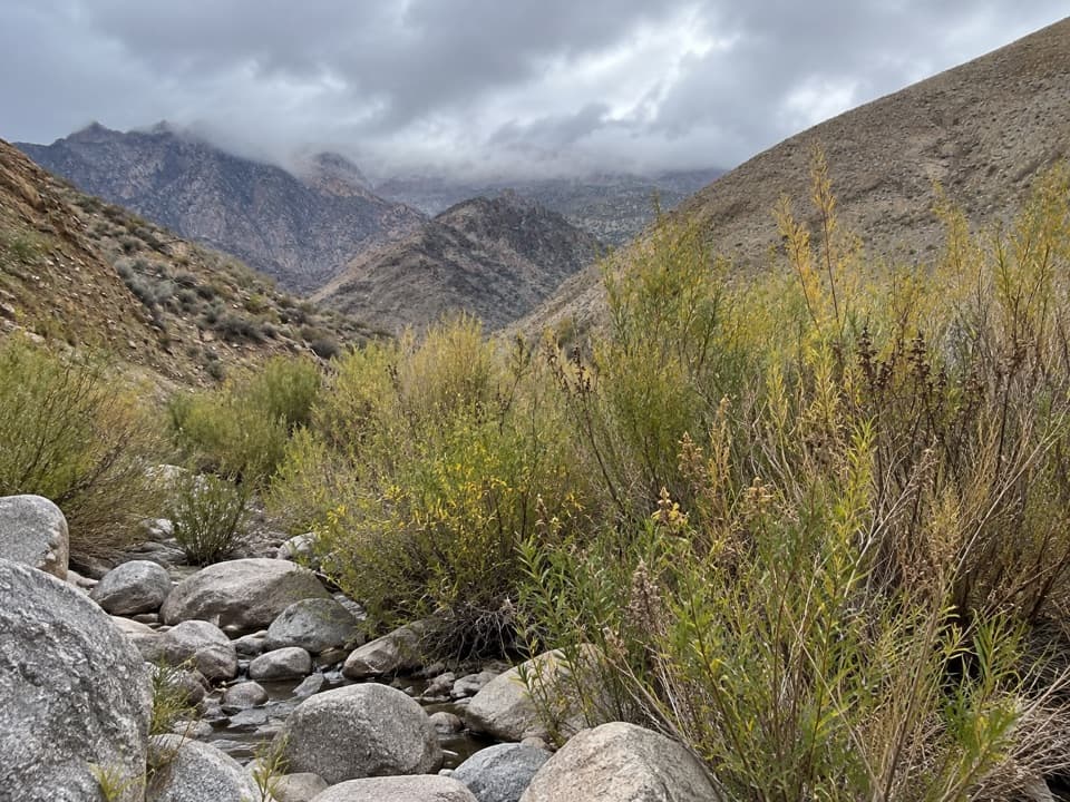 ModerateHanaupah Spring Trail2 mi · 1.5 hr · 7 mi awayA short wash walk to a patch of spring-fed greenery.
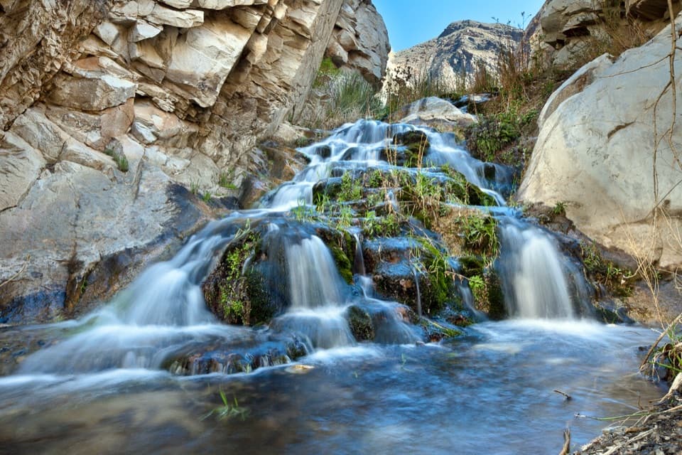 ChallengingSurprise Canyon to Panamint City10.6 mi · 12 hr · 9.7 mi awayA wet canyon climb ends at a remote mining ghost town.
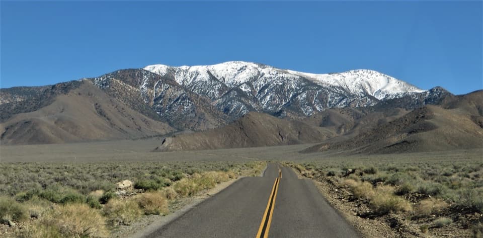 ChallengingBennett Peak5.7 mi · 5 hr · 10.5 mi awayA high, unmarked summit above Arcane Meadows
 ChallengingTelescope Peak Trail12.2 mi · 7 hr · 10.5 mi awayClimb above both valleys to Death Valley’s 11,049-foot summit.
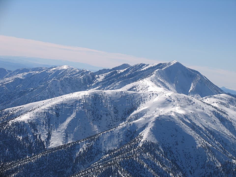 ChallengingRogers Peak via Arcane Meadows5.1 mi · 4.5 hr · 10.5 mi awayA rocky ridge ends at summit towers and views in every direction.
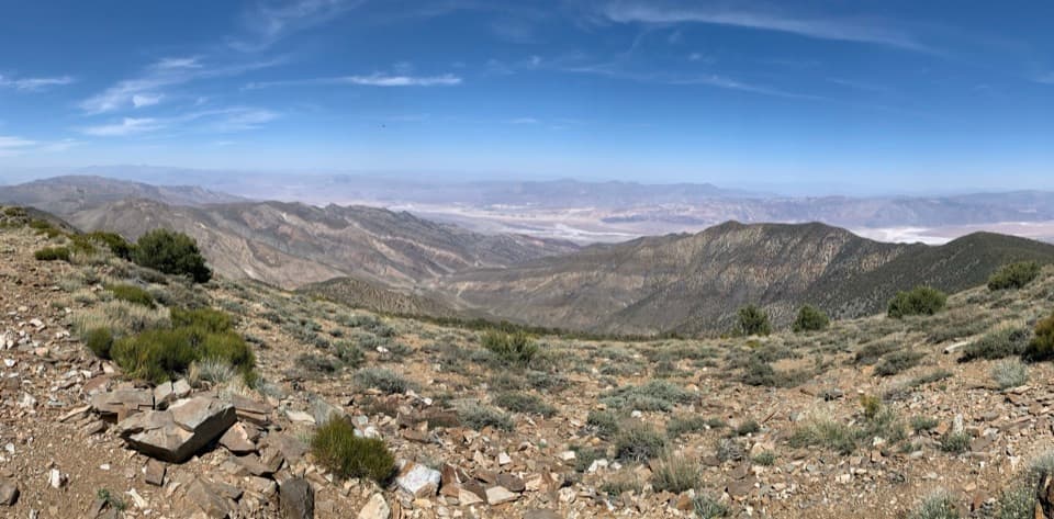 ChallengingWildrose Peak Trail7.9 mi · 6 hr · 11.7 mi awayFrom 1877 charcoal kilns to high summit views over two valleys.
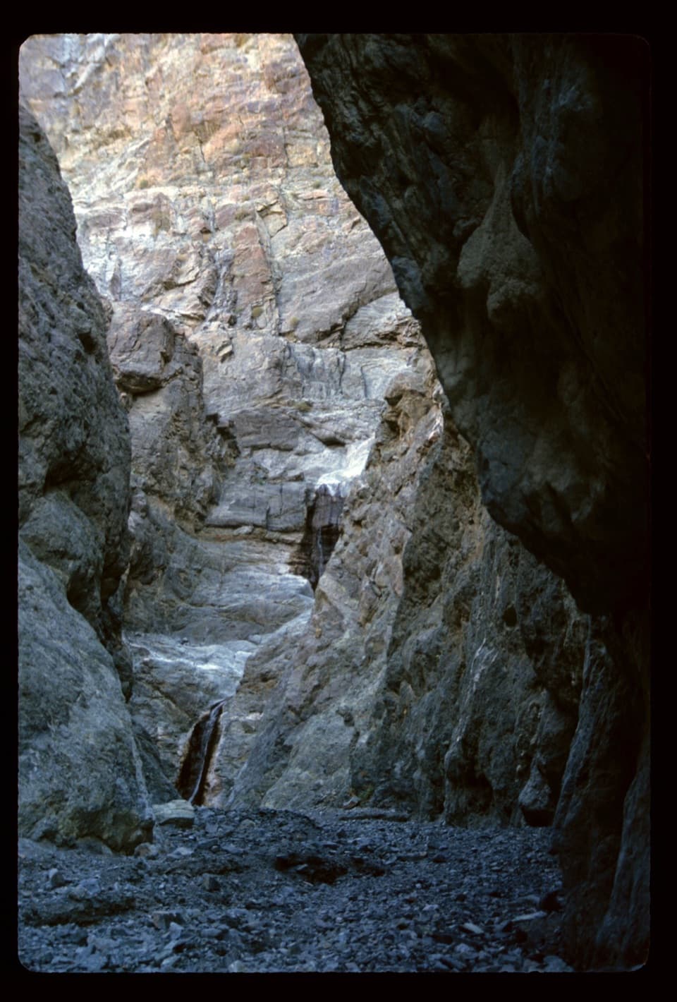 ModerateWillow Canyon4.2 mi · 2.5 hr · 14.6 mi awayAn unmarked cross-country walk to a seasonal waterfall
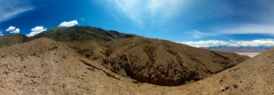 ChallengingSidewinder Canyon5 mi · 6 hr · 14.6 mi awayThree tight slots, rough scrambling, and no trail to follow.
Parkwolf’s Death Valley ranking

The audio tour guide for the drive, plus offline maps, trails, and wildlife heatmaps for when the signal drops.



