Parking
Use the approximate end of Hanaupah Canyon Road as the start; no developed trailhead lot was verified. The approach is an unpaved backcountry road. Check current conditions and posted signs before driving in.
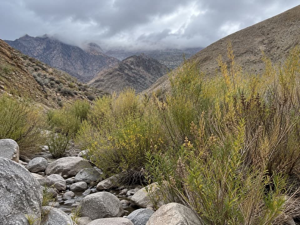
Death Valley National Park, CA · NV
A short wash walk to a patch of spring-fed greenery.
Overview
Map & elevation
Plan your hike

The highest, rockiest slopes around here are a summer buffet for grizzly bears.
Death Valley Tour Guide
Parkwolf is a GPS audio tour guide for Death Valley National Park. As you drive, it chimes in with what’s ahead: hidden gems, upcoming stops, history, geology, and wildlife, right through your car’s speakers.
See the Death Valley audio tourMore stories near here in the app
“Fantastic app with many points of information… It’s great to just turn on while you’re driving and it gives you an audio tour of the national Park. We love it!!!!”


Trail guide
Hanaupah Spring Trail is an informal out-and-back from the end of Hanaupah Canyon Road to the spring area in South Fork Hanaupah Canyon. Plan on about 2 miles round trip and roughly 1½ hours; the route climbs about 470 feet through a rocky wash. The payoff is a pocket of spring greenery in a remote desert canyon, not a signed, maintained trail.
Walk upcanyon from the road end, staying with the broad wash and the faint route toward the springs. The spring area is reported about a mile in, but the exact tread and final approach are easy to lose; bring an offline map and do not expect signs. These miles end at the spring area. The vague old mining road that continues toward Shorty’s Mine is a separate extension and is not part of this route.
Start at the approximate end of Hanaupah Canyon Road. No developed lot, toilet or potable-water source was verified. The approach is an unpaved backcountry road, so check current conditions and posted signs before driving in. Carry all the water you need. The wash is exposed to heat and flash flooding; avoid it when storms threaten. Pets are not allowed beyond developed areas.
Wildlife
 72 sightingsBighorn SheepMost seen around 6 PMSighting map
 101 sightingsDesert TortoiseMost seen around 8 AMSighting map
 466 sightingsCoyoteMost seen around 6 PMSighting map
 29 sightingsFeral BurroMost seen around 5 PMSighting map
 30 sightingsMule DeerMost seen around 7 PMSighting map
 65 sightingsKit FoxMost seen around 7 PMSighting map
Sighting maps show where each species has been reported across Death Valley. Wildlife moves, so no sighting is guaranteed.
Keep exploring
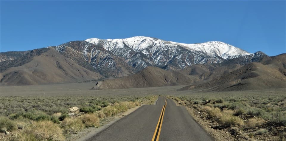 ChallengingBennett Peak5.7 mi · 5 hr · 4.5 mi awayA high, unmarked summit above Arcane Meadows
 ChallengingTelescope Peak Trail12.2 mi · 7 hr · 4.5 mi awayClimb above both valleys to Death Valley’s 11,049-foot summit.
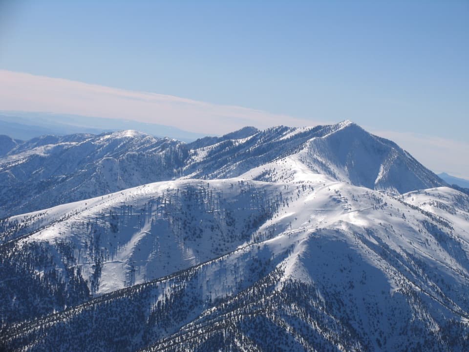 ChallengingRogers Peak via Arcane Meadows5.1 mi · 4.5 hr · 4.5 mi awayA rocky ridge ends at summit towers and views in every direction.
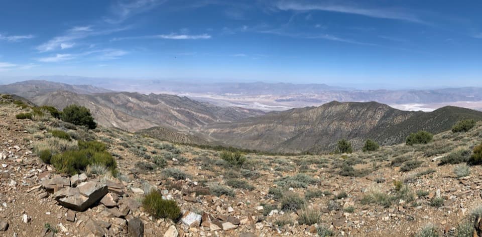 ChallengingWildrose Peak Trail7.9 mi · 6 hr · 5.6 mi awayFrom 1877 charcoal kilns to high summit views over two valleys.
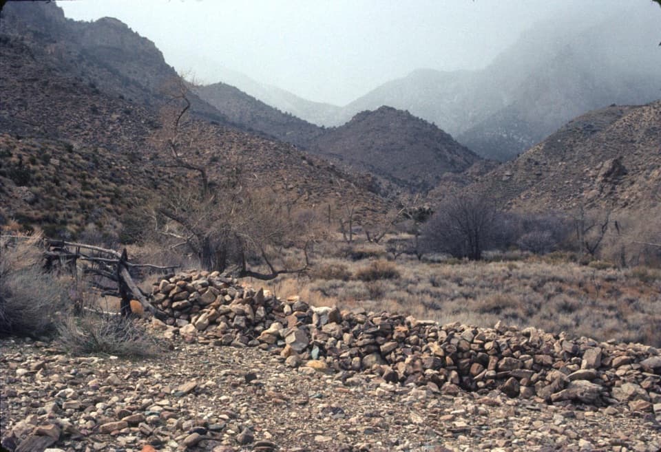 ModerateHungry Bill’s Ranch Trail3.3 mi · 2.5 hr · 7 mi awayFollow the creek to old orchards and stone walls.
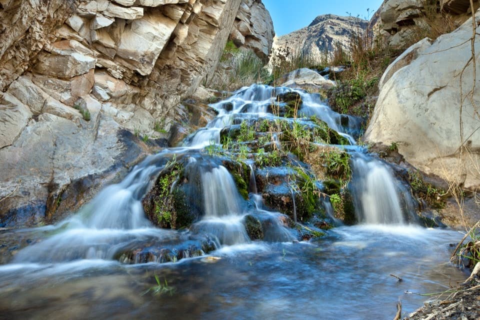 ChallengingSurprise Canyon to Panamint City10.6 mi · 12 hr · 10.9 mi awayA wet canyon climb ends at a remote mining ghost town.
 EasyBadwater Salt Flat1.9 mi · 1.3 hr · 13.6 mi awayWalk out to Badwater’s salt polygons below sea level.
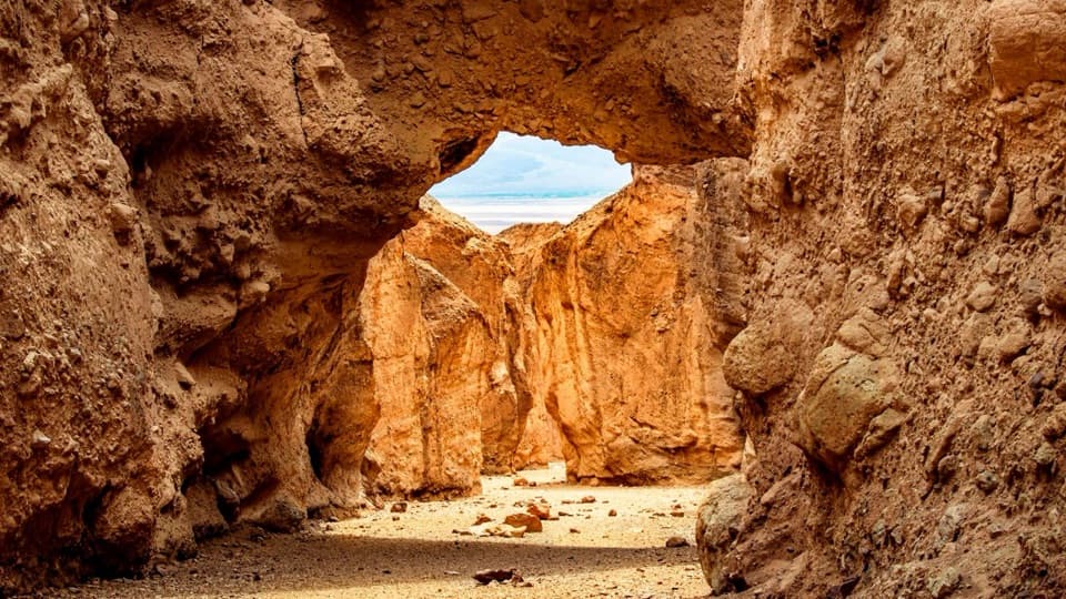 ModerateNatural Bridge Trail1.4 mi · 1.5 hr · 14.6 mi awayWalk under a natural bridge, then follow the canyon to its dryfall.
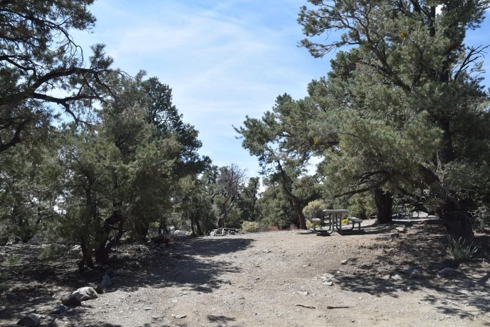 Campground · 4.6 mi awayMahogany Flat CampgroundA high-country base camp below Telescope Peak.
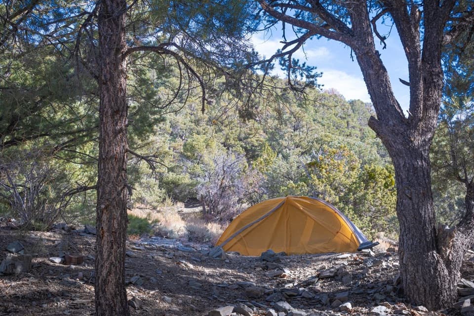 Campground · 5 mi awayThorndike CampgroundPine shade at 7,400 feet, up a steep, rough mountain road.
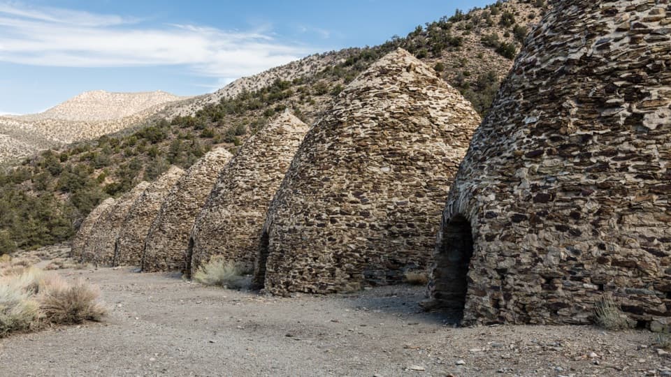 Sight · 5.6 mi awayWildrose Charcoal KilnsTen beehive kilns show how remote mining found its fuel.Sight · 6.7 mi awayHungry Bill’s RanchStone terraces and an old orchard reward a rough backcountry hike.
Parkwolf’s Death Valley ranking

The audio tour guide for the drive, plus offline maps, trails, and wildlife heatmaps for when the signal drops.


