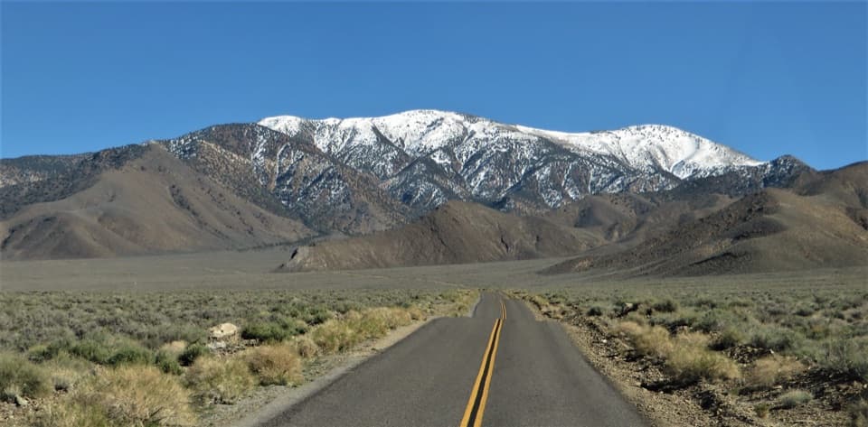
Bennett Peak in Death Valley National Park

Death Valley National Park, CA · NV

Bennett Peak

A high, unmarked summit above Arcane Meadows

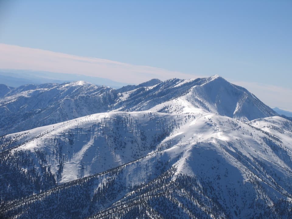
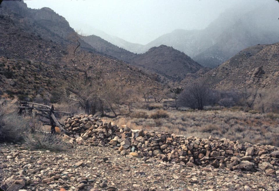
Photo: Ken Lund, CC BY-SA 2.0, via Wikimedia Commons

Length
5.7mi
Time
5hr
Elev. change
1,837ft
Difficulty
Challenging
  • No dogs
  • High point 9,951 ft

Hear the audio tour

Mahogany Flat and Telescope Peak

Overview

About Bennett Peak

Why go

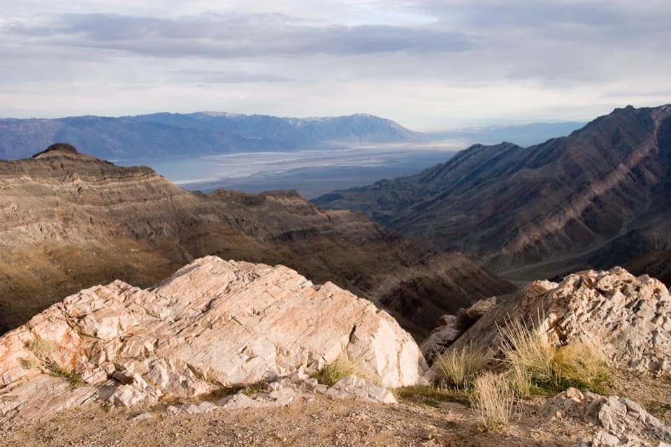
  • Wide views of Death Valley, the Panamints and the Sierra from one summit.
  • A real high-country cross-country finish above the desert floor.

Heads up

  • The last half-mile is unmarked, steep and sometimes brushy.
  • The rough access road and lack of water add to the commitment.
Bennett Peak is about a 5.7-mile out-and-back from Mahogany Flat: roughly 2.3 miles on the Telescope Peak Trail, then a final half-mile cross-country climb to the summit. Plan on a half-day, about five hours. This is for hikers comfortable leaving maintained tread, route-finding on steep, brushy ground, and moving near 10,000 feet.
Parkwolf’s verdictIs this hike for you?

Map & elevation

The route

Loading the Death Valley map
Full map
Elevation8,114–9,951 ft
TrailheadMahogany Flat Campground / Telescope Peak Trailhead36.22985, -117.06785
Keep this map with you offline in the Parkwolf app

Plan your hike

Before you go

Parking

Start at the Mahogany Flat Campground / Telescope Peak Trailhead gravel parking area (25-foot vehicle limit). High clearance and 4x4 are recommended for the steep, rough final 1.5 miles of road. Lower-clearance drivers can park at Charcoal Kilns and walk the road to the trailhead.

Safety

The final ascent leaves maintained trail and crosses steep, brushy ground with uncertain footing and intermittent use paths; route-finding is required. At nearly 10,000 feet, altitude can slow you down. There is no water at the trailhead or along the route. Snow can cover the ridge in winter and spring, and lightning makes exposed ridges unsafe.

4 active Death Valley alerts

  • ClosureRoad closures and hazardous conditionsSeveral park roads are closed or hazardous; follow closures and vehicle restrictions.Official details
  • ClosureSaline Valley Lower Springs closed after wildfireLower Springs pools at Saline Valley Warm Springs remain closed because the September 15 wildfire left safety hazards, including potential hazardous chemicals; do not enter the closed area.Official details
See all 4 alerts
A park ranger sits on a dash-mounted phone, talking, as Parkwolf’s Tour Guide plays “Army Cutworm Moths: A Grizzly Bear Buffet” on Grand Loop Road below Dunraven Pass in Yellowstone
Parkwolf Tour GuideThe highest, rockiest slopes around here are a summer buffet for grizzly bears.

Death Valley Tour Guide

Your drive to Bennett Peak, narrated.

Parkwolf is a GPS audio tour guide for Death Valley National Park. As you drive, it chimes in with what’s ahead: hidden gems, upcoming stops, history, geology, and wildlife, right through your car’s speakers.

See the Death Valley audio tour

Recorded for this trailhead

Mahogany Flat and Telescope Peak
0:00 / 0:38
“You're approaching the road up to Mahogany Flat, the woodland campground and starting point for Telescope Peak.”

Plays as you drive up to this trailhead in the Parkwolf Death Valley Tour Guide.

More stories near here in the app

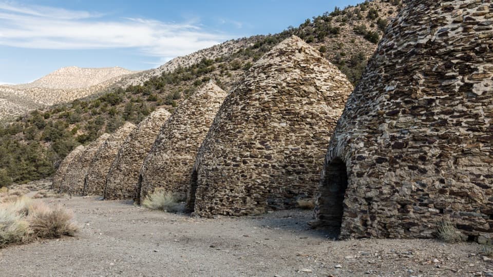
  • Wildrose Charcoal Kilns: A Week in the Oven
  • A Seed With a Feathery Tail
  • A Beak That Opens Cones
  • The Nuthatch's Sticky Doorway
  • 228 audio storiesacross Death Valley’s roads, triggered by GPS as you drive
  • Wildlife heatmapsfor Bighorn Sheep, Desert Tortoise, Coyote, and 13 more
  • Works offlinemaps, 57 trails, 81 places, and audio download before you lose signal
  • CarPlay readysimple controls built for the drive
★★★★★
“Fantastic app with many points of information… It’s great to just turn on while you’re driving and it gives you an audio tour of the national Park. We love it!!!!”
JMJamesApp Store review
Download Parkwolf on the App StoreGet Parkwolf on Google Play

4.7 from 8,600+ ratings

Trail guide

Hiking Bennett Peak

The climbThe established approach climbs through pinyon pine and mountain mahogany; Death Valley views…

The established approach climbs through pinyon pine and mountain mahogany; Death Valley views open before the first mile. The grade eases at Arcane Meadows, between Rogers and Bennett peaks, with views into both the Panamint and Death valleys. Continue south on the trail to the rocky ridge on Bennett's west side, then leave it. The unmarked route rises through limber pines, crosses a steep slope to a shoulder, and follows the ridge to the summit. The last stretch is sometimes brushy and footing can be hard to read, so treat the mapped spur as approximate. Return the same way.

At the summitThe top is mostly bare rock with low sagebrush and wildflowers.

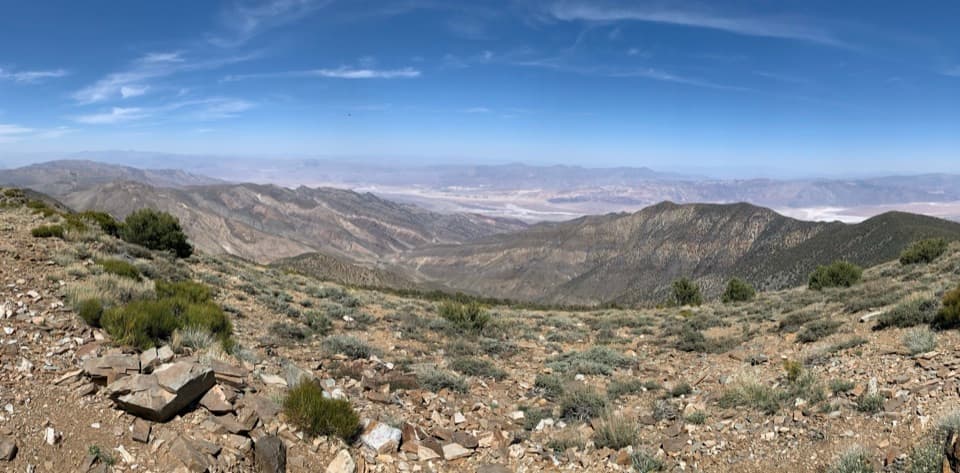
The top is mostly bare rock with low sagebrush and wildflowers. From just under 10,000 feet, the view reaches toward the Sierra and Whitney region to the west, Rogers Peak and Death Valley to the north, Badwater and Nevada to the east, and Telescope Peak to the south.

Limber pinesThe high ridge passes limber pines, a species that can live for more than 2,000 years.

The high ridge passes limber pines, a species that can live for more than 2,000 years. Take a moment to look among the trees as you climb; the summit is mostly open rock, so this is a different part of the outing.

Access and essentialsMahogany Flat is at the road end. The last 1.

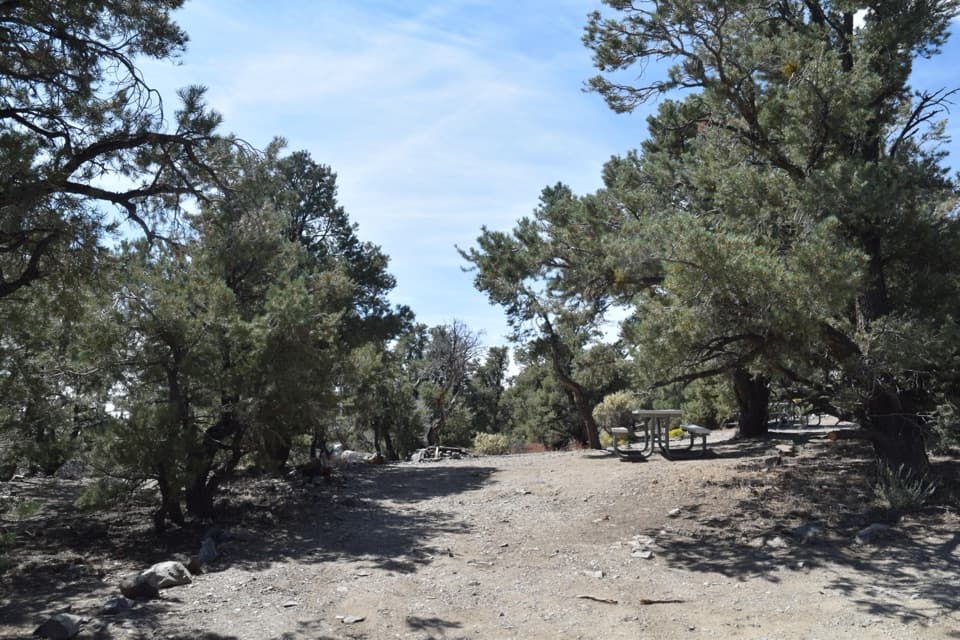
Mahogany Flat is at the road end. The last 1.5 miles are steep, rough and narrow; high clearance and 4x4 are recommended. Lower-clearance drivers can park at Charcoal Kilns and walk the road to the trailhead. There is gravel parking and a vault toilet, but no water at the campground or along the route. Pets aren't allowed on park trails or in wilderness. Snow can cover the ridges in winter and spring; exposed ridge travel is unsafe when lightning threatens.

Wildlife

Wildlife in Death Valley

All Death Valley wildlife maps

Sighting maps show where each species has been reported across Death Valley. Wildlife moves, so no sighting is guaranteed.

Keep exploring

Near Bennett Peak

See it all on the map

Trails that start nearby

Places near the trailhead

Parkwolf’s Death Valley ranking

Top-rated trails in Death Valley

All 57 trails
  1. 1Badwater Salt FlatEasy · 1.9 mi
  2. 2Mosaic CanyonModerate · 4 mi
  3. 3Golden Canyon to Red CathedralModerate · 3 mi
  4. 4Telescope Peak TrailChallenging · 12.2 mi
  5. 5Golden Canyon Complete CircuitChallenging · 7.8 mi
  6. 6Gower Gulch LoopModerate · 4.3 mi

Take Parkwolf to Death Valley.

The audio tour guide for the drive, plus offline maps, trails, and wildlife heatmaps for when the signal drops.

4.7 from 8,600+ ratings

Download Parkwolf on the App StoreGet Parkwolf on Google Play