Parking
Unmarked roadside start on Highway 190 about 6.5 miles north of Furnace Creek Visitor Center (near mile 104). No developed trailhead is identified.
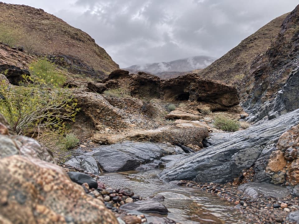
Death Valley National Park, CA · NV
Cross a desert wash to a remote pass beyond a dry fall.
Overview
Map & elevation
Plan your hike

The highest, rockiest slopes around here are a summer buffet for grizzly bears.
Death Valley Tour Guide
Parkwolf is a GPS audio tour guide for Death Valley National Park. As you drive, it chimes in with what’s ahead: hidden gems, upcoming stops, history, geology, and wildlife, right through your car’s speakers.
See the Death Valley audio tourRecorded for this area
The Crews Behind the Early Park“Four hundred Civilian Conservation Corps workers arrived here in October nineteen thirty-three, just months after Death Valley became a national monument.”
Plays on the road 0.2 mi from the trailhead in the Parkwolf Death Valley Tour Guide.
More stories near here in the app
“Fantastic app with many points of information… It’s great to just turn on while you’re driving and it gives you an audio tour of the national Park. We love it!!!!”


Trail guide
Indian Pass is a 16-mile out-and-back from an unmarked Highway 190 roadside start, across a gravel wash and into a canyon in the Funeral Mountains, ending at a low pass. The National Park Service describes 8 miles one way to the pass, with about 3,000 feet of gain. This is a backcountry itinerary without a maintained trail, not a marked day hike. Plan around 12 hours moving time over two days and take it on only if you are comfortable navigating cross-country. The spring is a shorter turnaround at about 12 miles round trip; continuing to the pass adds roughly four miles.
The first four miles cross an open, rocky wash. Similar folds in the foothills can lead into the wrong drainage, so keep to the wash nearest the ridge and bear north as the official directions describe. The last four miles are in the canyon, where the route narrows among rough rock. Near the canyon entrance a dry fall blocks the wash; reports describe a short, rocky bypass on its north side. Expect to choose your line through loose gravel and rock. The mapped line is a navigation aid for an unmaintained cross-country route, not a fixed tread.
The springs are about six miles from the highway start, before the pass. Walkers have reported anything from wet sand and small pools to a little stream, but those are observations from particular trips. The National Park Service warns that springs can be dry or contaminated. Carry all drinking water or arrange a cache; do not count on the spring. The spring area is fragile wildlife habitat, so leave it undisturbed. The canyon’s dark, slanted bedrock and narrow walls make the strongest on-route photo; frame the wash between the rock faces.
Winter is the most practical season for this exposed desert route. In hot spring, summer, and fall conditions, the National Park Service says to plan on at least a gallon of water per person per day. A backcountry permit is recommended for this itinerary but is not required. Camping is prohibited within two miles of the road and within 200 yards of springs, and pets are not allowed on trails or in wilderness. The roadside start has no identified developed facilities, so arrange water, food, navigation, and an overnight plan before leaving the highway.
Wildlife
 72 sightingsBighorn SheepMost seen around 6 PMSighting map
 101 sightingsDesert TortoiseMost seen around 8 AMSighting map
 466 sightingsCoyoteMost seen around 6 PMSighting map
 29 sightingsFeral BurroMost seen around 5 PMSighting map
 30 sightingsMule DeerMost seen around 7 PMSighting map
 65 sightingsKit FoxMost seen around 7 PMSighting map
Sighting maps show where each species has been reported across Death Valley. Wildlife moves, so no sighting is guaranteed.
Keep exploring
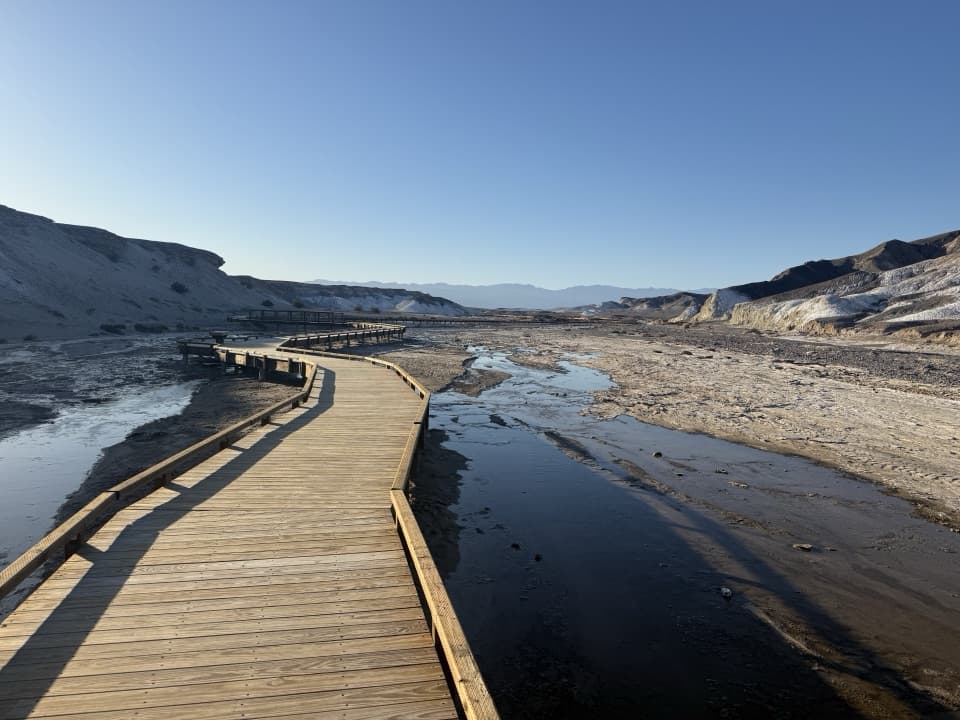 EasySalt Creek Interpretive Trail0.8 mi · 30 min · 5.1 mi awayA short boardwalk puts endemic pupfish in view.
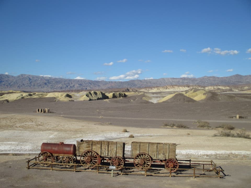 EasyHarmony Borax Works Interpretive Trail0.4 mi · 30 min · 6 mi awayWalk among borax ruins and the original twenty-mule wagons.
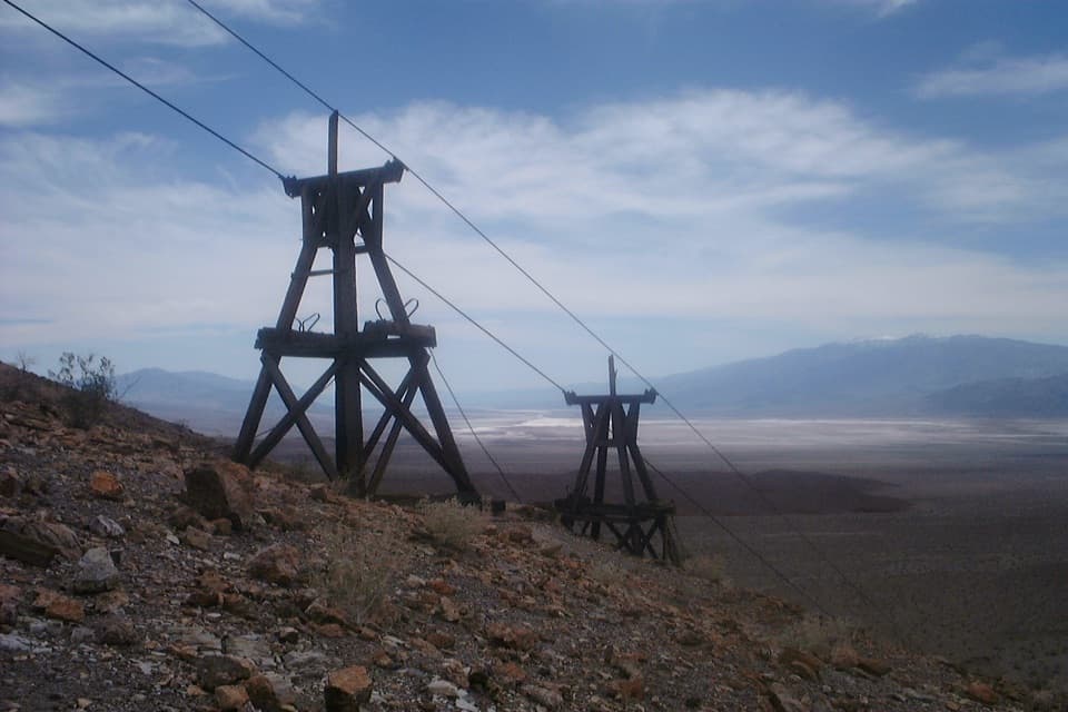 ChallengingKeane Wonder Mine Trail2.8 mi · 3 hr · 7.3 mi awayA steep 1,500-foot climb to Death Valley's old gold-mine tramway.
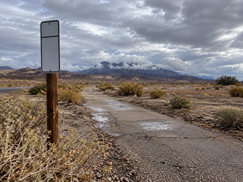 EasyFurnace Creek Bike Path2.6 mi · 1.3 hr · 7.3 mi awayA flat paved walk from Furnace Creek to the old borax works.
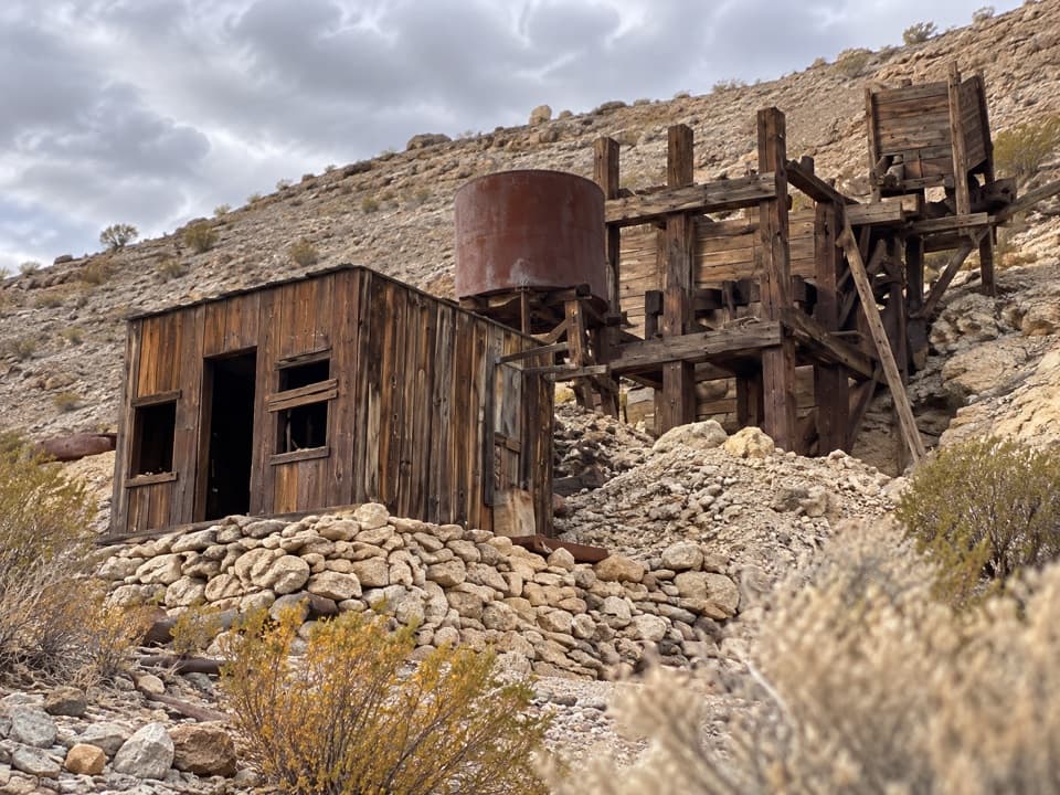 ModerateKeane Spring and John Cyty’s Cabin and Mill Trail3.6 mi · 2.5 hr · 7.3 mi awayA faint desert walk to a spring, cabin, and old stamp mill
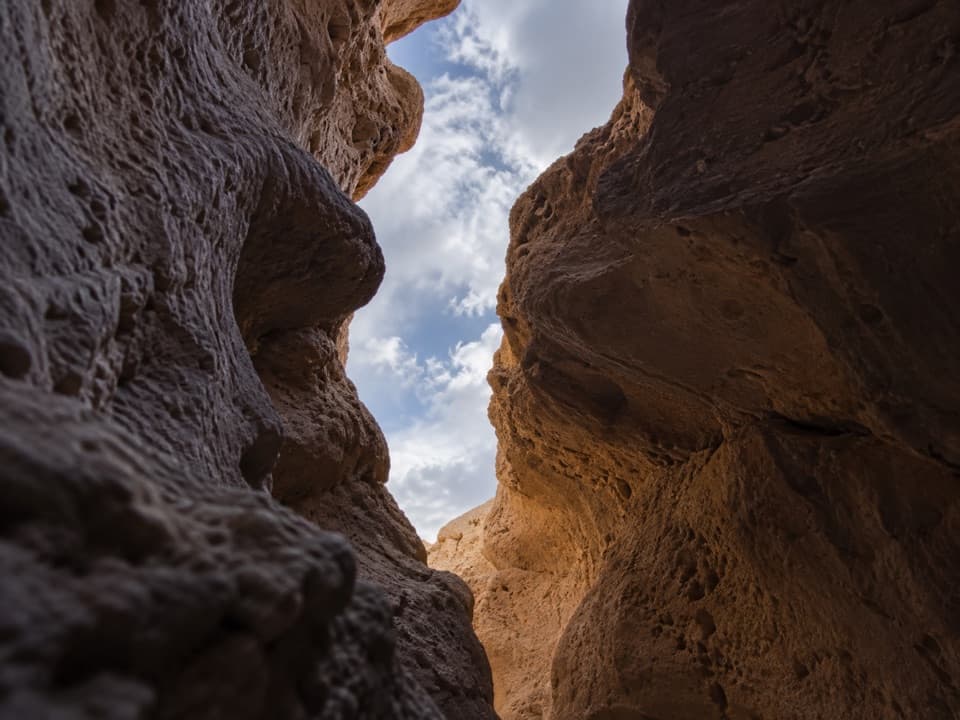 ChallengingFuneral Slot Canyon6.9 mi · 4.5 hr · 7.6 mi awayA colorful wash narrows into a sculpted slot canyon.
 ModerateGolden Canyon to Red Cathedral3 mi · 1.8 hr · 10.3 mi awayA rocky canyon climb ends beneath Red Cathedral’s fluted red cliffs.ChallengingGolden Canyon Complete Circuit7.8 mi · 4.5 hr · 10.3 mi awayRed Cathedral, Zabriskie Point, and Gower Gulch on one long loop
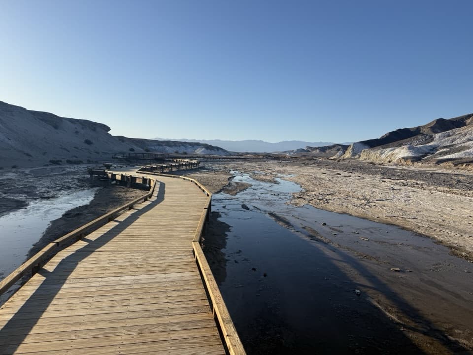 Sight · 5.4 mi awaySalt CreekSee tiny pupfish on a short desert boardwalk.Sight · 5.9 mi awayHarmony Borax WorksA short loop brings the 20-Mule Team story down to earth.
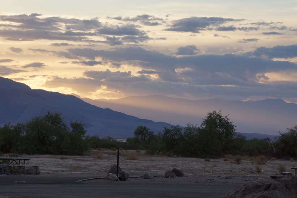 Campground · 7.1 mi awayFurnace Creek CampgroundA low desert base with 136 sites and some RV hookups.
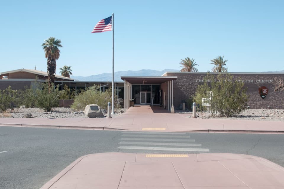 Visitor center · 7.3 mi awayFurnace Creek Visitor CenterGet ranger advice, then meet life-size bighorn sheep models.
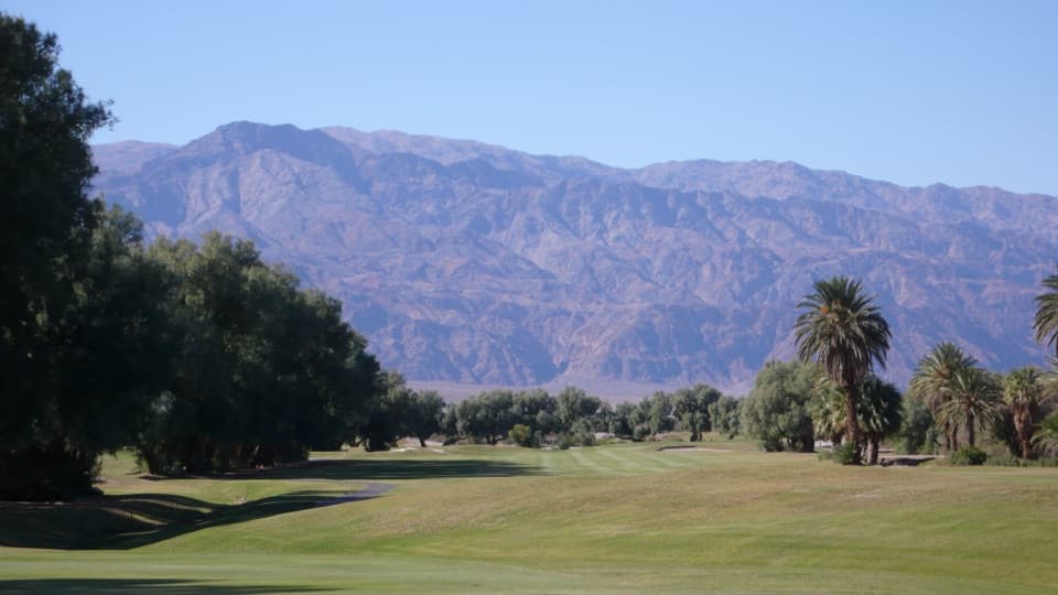 Sight · 7.3 mi awayFurnace Creek Golf CourseA full round 214 feet below sea level.
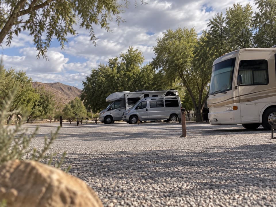 Campground · 7.4 mi awayFiddlers’ RV ParkAn RV base near the Ranch pool, no hookups or dump station.
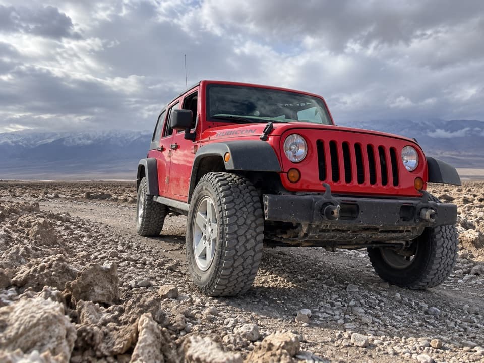 7.4 mi awayFarabee’s Jeep RentalsA Jeep and route advice open the park’s dirt-road backcountry.
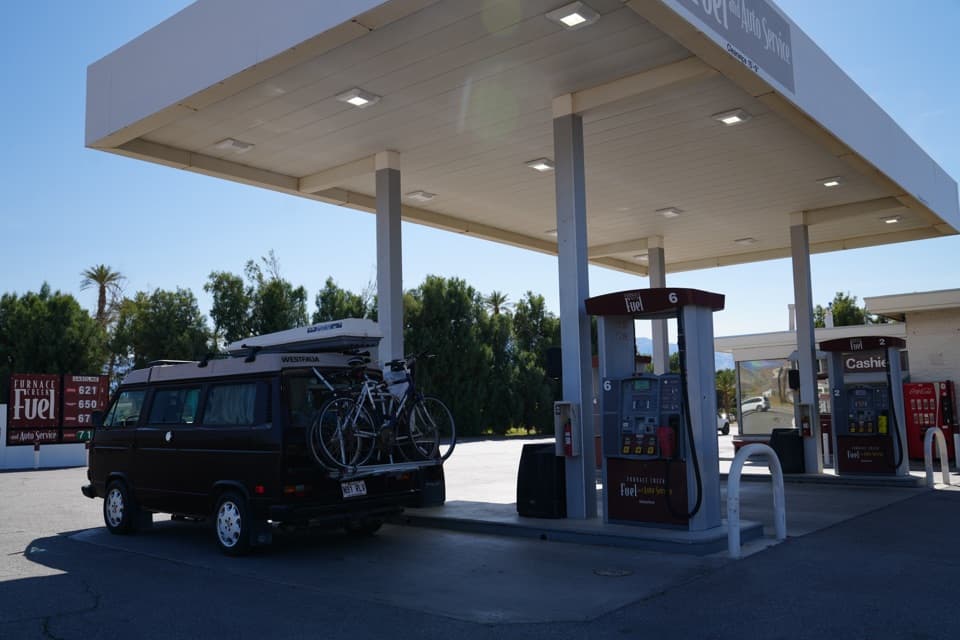 Gas station · 7.4 mi awayFurnace Creek Gas StationThe practical refuel stop before Death Valley’s remote roads.
Parkwolf’s Death Valley ranking

The audio tour guide for the drive, plus offline maps, trails, and wildlife heatmaps for when the signal drops.



