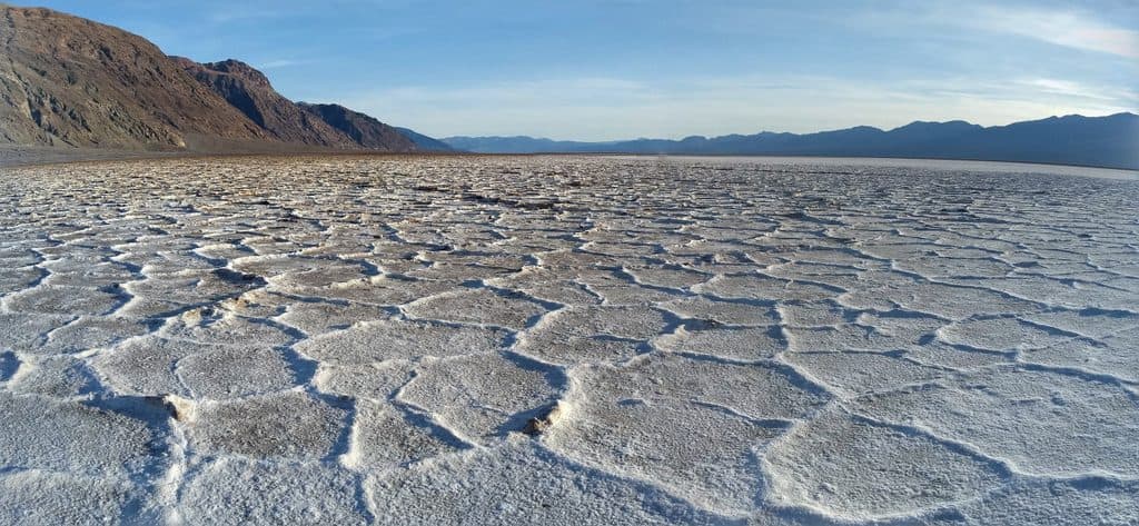
Parking
Large gravel parking area at the boardwalk, about 1.2 miles down unpaved Salt Creek Road from CA-190; space for cars, RVs, and buses. Vault toilet at the trailhead.
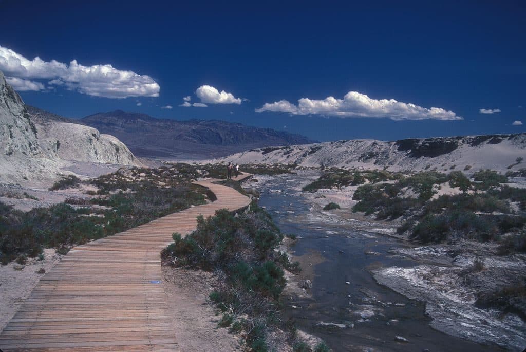
Death Valley National Park, CA · NV
An easy, flat boardwalk loop through Salt Creek’s rare desert wetland and pupfish habitat.
Overview
Salt Creek Interpretive Trail is an easy, flat 0.8-mile total loop on a wooden boardwalk through one of Death Valley's rare desert wetlands. Interpretive signs, benches, broad valley views, and the chance to see endemic Salt Creek pupfish make this a rewarding short stop.
This short interpretive loop offers an accessible look at living water, salt-marsh vegetation, and one of Death Valley’s most distinctive endemic fish without a strenuous hike.
 Parkwolf’s verdictWhy Go
Map & elevation
Plan your hike

The highest, rockiest slopes around here are a summer buffet for grizzly bears.
Death Valley Tour Guide
Parkwolf is a GPS audio tour guide for Death Valley National Park. As you drive, it chimes in with what’s ahead: hidden gems, upcoming stops, history, geology, and wildlife, right through your car’s speakers.
See the Death Valley audio tourMore stories near here in the app
“Fantastic app with many points of information… It’s great to just turn on while you’re driving and it gives you an audio tour of the national Park. We love it!!!!”


Trail guide
From the trailhead, the boardwalk heads northwest beside Salt Creek, crosses the creek on a boardwalk bridge, and returns along the opposite side before retracing the short shared approach to the parking area. The route is level and ADA accessible, but stay on the boardwalk to protect the fragile creek habitat.
Salt Creek supports pickleweed, saltgrass, birds, aquatic invertebrates, and Salt Creek pupfish, a fish adapted to this unusually saline water. Flow is generally strongest in the cooler months; water and fish activity can be less visible in summer and fall.
From CA-190, follow unpaved Salt Creek Road about 1.2 miles to the large gravel parking area, approximately 13 miles west of Furnace Creek. The lot accommodates cars, RVs, and buses, and a vault toilet is available at the trailhead.
Bring water even for this short walk. There is little shade, and Death Valley summer heat is dangerous; hiking is not advised after 10 a.m. in summer. Stay on the boardwalk at all times, and expect the unpaved access road to be rough or washboarded.
Wildlife
 71 sightingsBighorn SheepMost seen around 6 PMSighting map
 101 sightingsDesert TortoiseMost seen around 8 AMSighting map
 458 sightingsCoyoteMost seen around 6 PMSighting map
 28 sightingsFeral BurroMost seen around 5 PMSighting map
 30 sightingsMule DeerMost seen around 7 PMSighting map
 62 sightingsKit FoxMost seen around 7 PMSighting map
Sighting maps show where each species has been reported across Death Valley. Wildlife moves, so no sighting is guaranteed.
Keep exploring
 ChallengingGrotto Canyon3.4 mi · 4.5 hr · 6.7 mi awayUnmarked desert-canyon scramble through polished narrows to a high chokestone
 EasyMesquite Flat Sand Dunes2 mi · 1.5 hr · 7 mi awayCross-country dunes to Death Valley’s tallest dune, with wide-open sunrise and sunset views.
 ChallengingKeane Wonder Mine Trail2.9 mi · 3 hr · 7.1 mi awaySteep climb through mining relics to huge Death Valley views
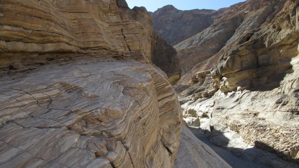 ModerateMosaic Canyon4 mi · 2.8 hr · 8.6 mi awayA full out-and-back through polished marble narrows, Mosaic Breccia, and dryfall terrain
 ChallengingTucki Mountain via Mosaic Canyon12.3 mi · 12 hr · 8.6 mi awayExpert cross-country summit route through Mosaic Canyon with 6,100 feet of gain and broad Death Valley views
 ChallengingDeath Valley Buttes3 mi · 3.5 hr · 8.8 mi awayUnmarked ridge scramble to wide Death Valley views and an exposed high summit.
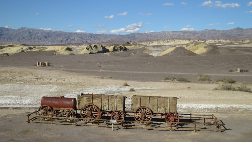 EasyHarmony Borax Works Interpretive Trail0.4 mi · 30 min · 10 mi awayA short paved loop through the ruins and stories of Death Valley’s Harmony Borax Works.
 ChallengingCorkscrew Peak Trail7.2 mi · 5.5 hr · 10 mi awayUnmarked 7.2-mile desert summit route with loose scrambling and wide-open views
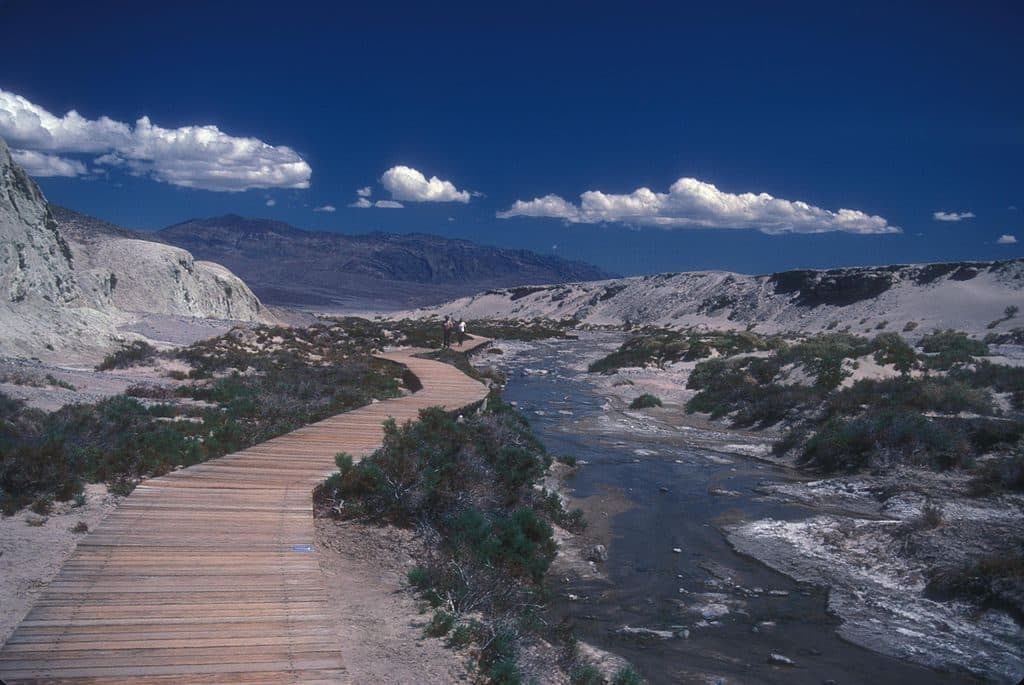 Trailhead · At the trailheadSalt Creek Interpretive SiteShort boardwalk to a rare desert creek with pupfish
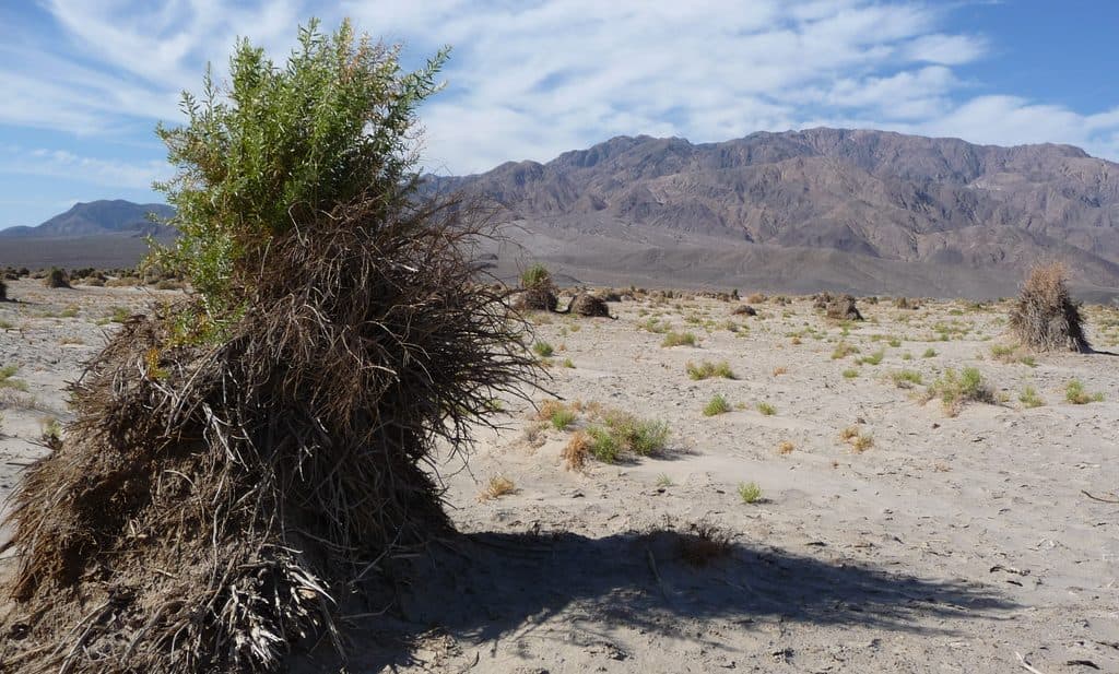 Scenic pullout · 4.1 mi awayDevil's CornfieldQuirky arrowweed mounds that look like shocks of corn
 Sight · 6.4 mi awayGrotto CanyonSculpted slot narrows and serious scrambles with big solitude
 Sight · 7 mi awayMesquite Flat Sand DunesEasy-access dunes for golden-hour photos, stargazing, and sandboarding
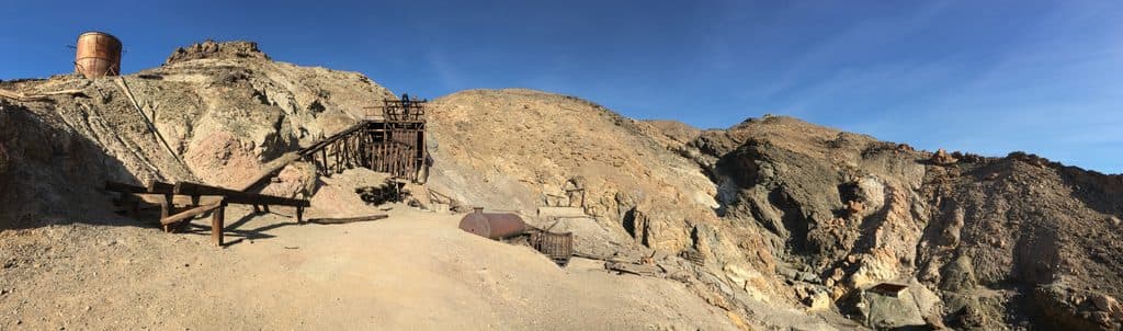 Sight · 8.1 mi awayKeane Wonder MineHistoric gold mine with a rare aerial tramway and big valley views
 Sight · 8.3 mi awayMosaic CanyonPolished marble narrows and mosaic walls with fun canyon scrambles
 Ranger station · 8.6 mi awayStovepipe Wells Ranger StationQuick fee-pay stop with rangers and services next door
 Lodging · 8.7 mi awayStovepipe Wells HotelFull‑service desert base with rooms, pool, fuel, and dunes next door
Parkwolf’s Death Valley ranking
The audio tour guide for the drive, plus offline maps, trails, and wildlife heatmaps for when the signal drops.