Borland Road to Monowai Hut Track in Fiordland National Park

Fiordland National Park, SL

Borland Road to Monowai Hut Track

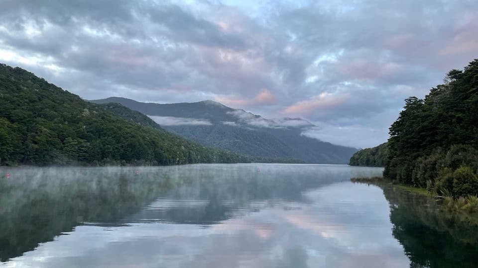
Cross tussock saddles and beech forest to a hut on Lake Monowai.

Length
16.5km
Time
9hr
Elev. change
760m
Difficulty
Challenging
  • No dogs
  • High point 986 m

Hear the audio tour

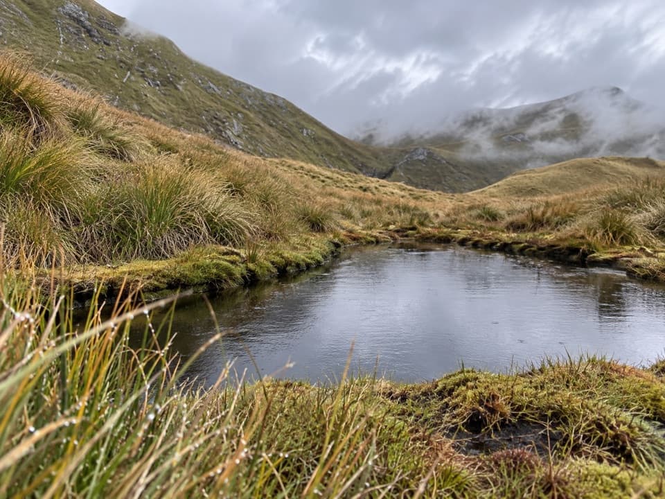
Borland Saddle and Mount Burns Tarns

Overview

About Borland Road to Monowai Hut Track

Why go

  • A hut-to-hut line with tussock, lakes and beech saddles
  • The 1941 historic Clark Hut makes a worthwhile side trip

Heads up

  • Nine hours one way and a consequential river crossing
  • Remote access road and return logistics need advance planning

Map & elevation

The route

Loading the Fiordland map
Full map
Elevation226–986 m
TrailheadBorland Saddle-45.74542, 167.38019
Keep this map with you offline in the Parkwolf app

Plan your hike

Before you go

Parking

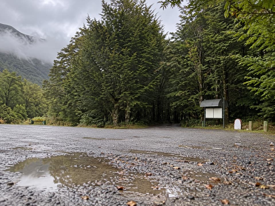
Start at Borland Saddle on the south side of Borland Road; parking, a toilet and a natural-history panel are by the access. The route ends at Monowai Hut on Lake Monowai’s north shore, so arrange an overnight stay or return plan before leaving the saddle.

Safety

Advanced backcountry tramping. The Grebe River can rise rapidly after heavy rain. Borland Road is unsealed, narrow and steep, may close, and is unsuitable for campervans, caravans and trailers. There is no phone coverage, fuel or emergency service along the road. Dogs are not allowed; boil untreated water at Monowai Hut.

A park ranger sits on a dash-mounted phone, talking, as Parkwolf’s Tour Guide plays “Army Cutworm Moths: A Grizzly Bear Buffet” on Grand Loop Road below Dunraven Pass in Yellowstone
Parkwolf Tour GuideThe highest, rockiest slopes around here are a summer buffet for grizzly bears.

Fiordland Tour Guide

Your drive to Borland Road to Monowai Hut Track, narrated.

Parkwolf is a GPS audio tour guide for Fiordland National Park. As you drive, it chimes in with what’s ahead: hidden gems, upcoming stops, history, geology, and wildlife, right through your car’s speakers.

See the Fiordland audio tour

Recorded for this trailhead

Borland Saddle and Mount Burns Tarns
0:00 / 0:34
“You're coming up on Borland Saddle, a high pass with a story worth stopping for.”

Plays as you drive up to this trailhead in the Parkwolf Fiordland Tour Guide.

More stories near here in the app

  • A Ship Built in a Cove
  • The Crayfish's Packed Lunch
  • The Daisy Made of Flowers
  • The Sugar on the Bark
  • 112 audio storiesacross Fiordland’s roads, triggered by GPS as you drive
  • Wildlife heatmapsfor Kea, Fiordland Penguin, Blue Duck, and 13 more
  • Works offlinemaps, 77 trails, 102 places, and audio download before you lose signal
  • CarPlay readysimple controls built for the drive
★★★★★
“Fantastic app with many points of information… It’s great to just turn on while you’re driving and it gives you an audio tour of the national Park. We love it!!!!”
JMJamesApp Store review
Download Parkwolf on the App StoreGet Parkwolf on Google Play

4.7 from 8,600+ ratings

Trail guide

Hiking Borland Road to Monowai Hut Track

A point-to-point tramping trackThis is a 16.5 km (10.

This is a 16.5 km (10.25 mi) one-way route from Borland Saddle to Monowai Hut, usually a nine-hour walk. It is rated Advanced and should be treated as a full-day backcountry trip with a real river crossing, not a quick hut stroll. The distance and time are one way; retracing the track makes roughly 33 km and 18 hours. Decide in advance whether you are staying at a hut, retracing the route, or arranging a different return from the lake.

From Borland Saddle to Clark HutStarting on the south side of Borland Road at Borland Saddle, the track passes Borland Bivvy…

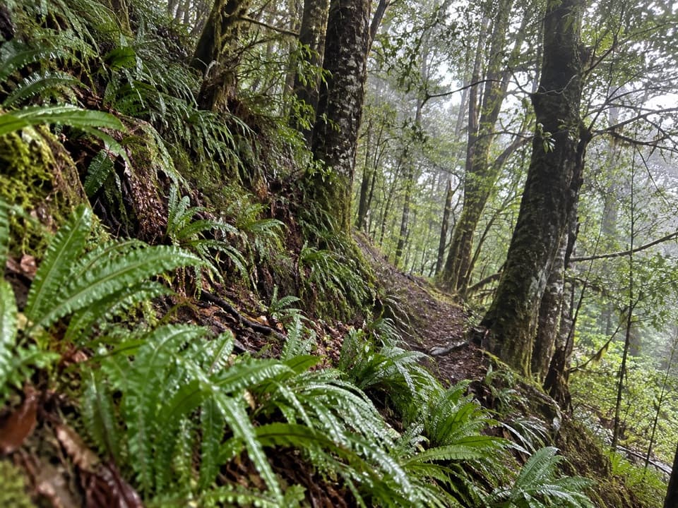
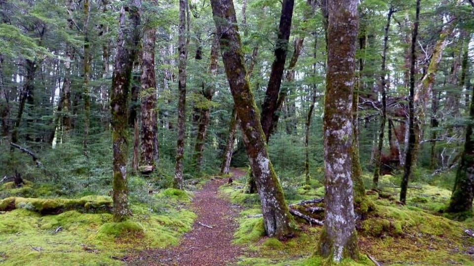
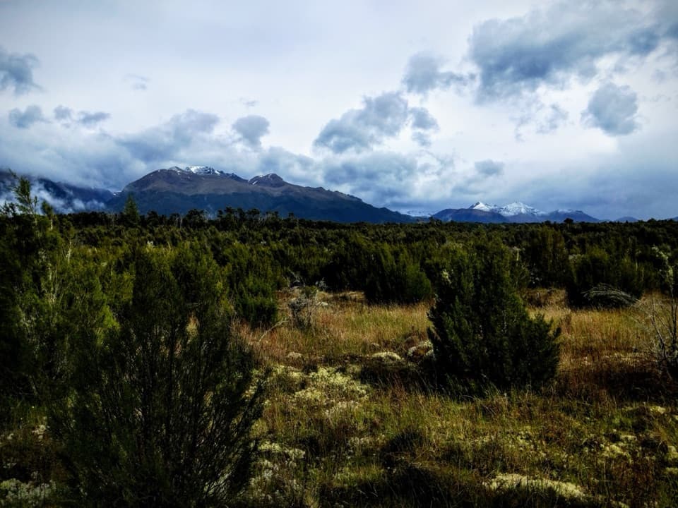
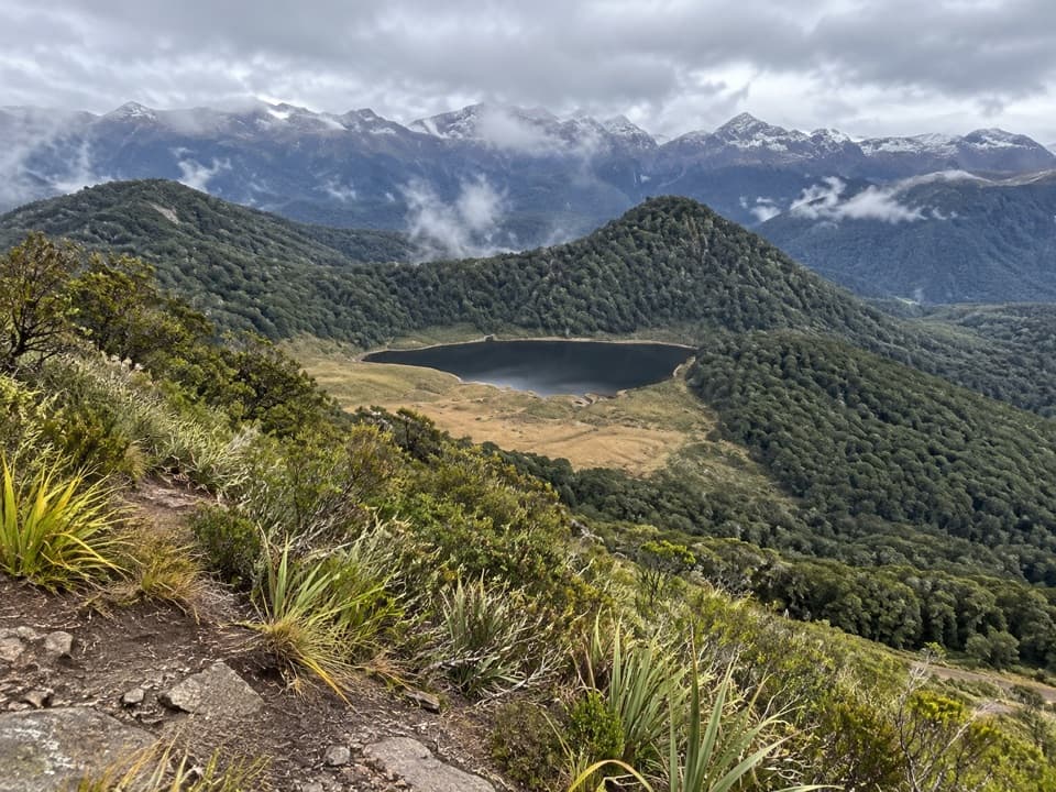
Starting on the south side of Borland Road at Borland Saddle, the track passes Borland Bivvy and descends through low tussock, two small lakes and low beech-covered saddles to the Green Lake Track junction. At the junction, take the branch toward Island Lake and Clark Hut. The changing mix of open tussock and bush is the main character of this first five-hour, 10 km section.

Clark Hut and the old hutClark Hut is the overnight stop before the final four hours to Monowai Hut.

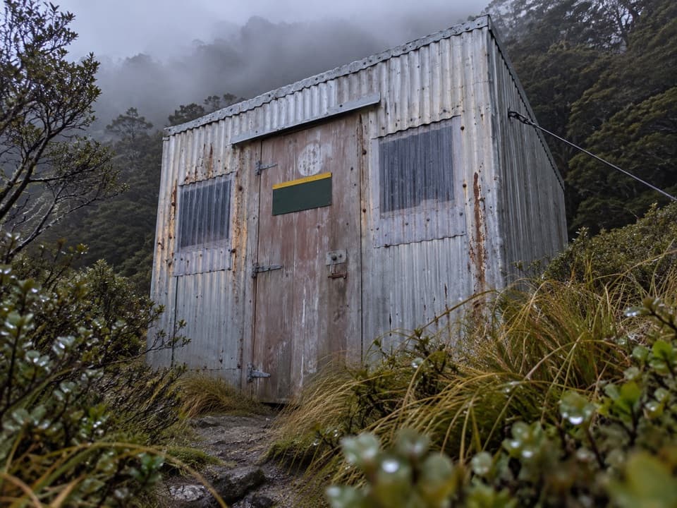
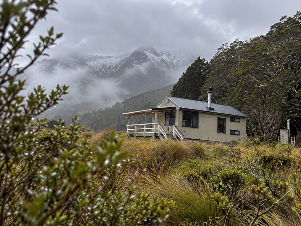
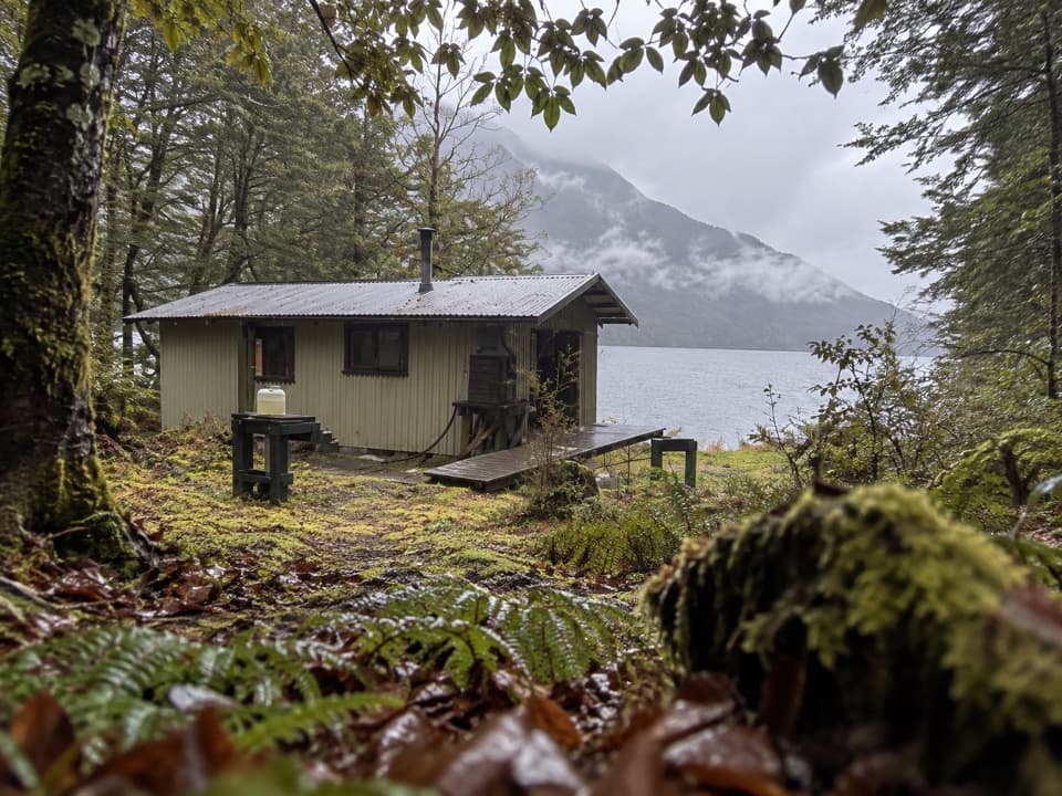
Clark Hut is the overnight stop before the final four hours to Monowai Hut. A short side trip through a swampy clearing reaches historic Clark Hut; the walking time is given as about 30 minutes, but the estimate does not say whether that is one way or return. The older hut was built in 1941 for government deer cullers. The current Clark huts are basic, first-come, unbooked shelters with four bunks each.

Across the Grebe to Monowai HutBeyond Clark Hut the track follows the bush edge, crosses the Grebe River, climbs to a saddle…

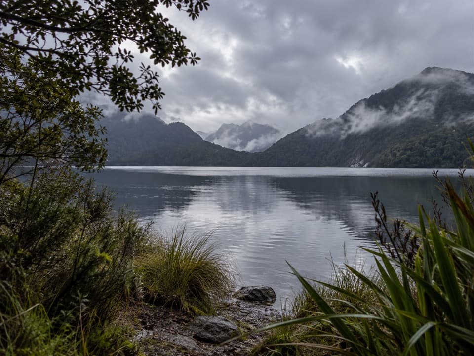
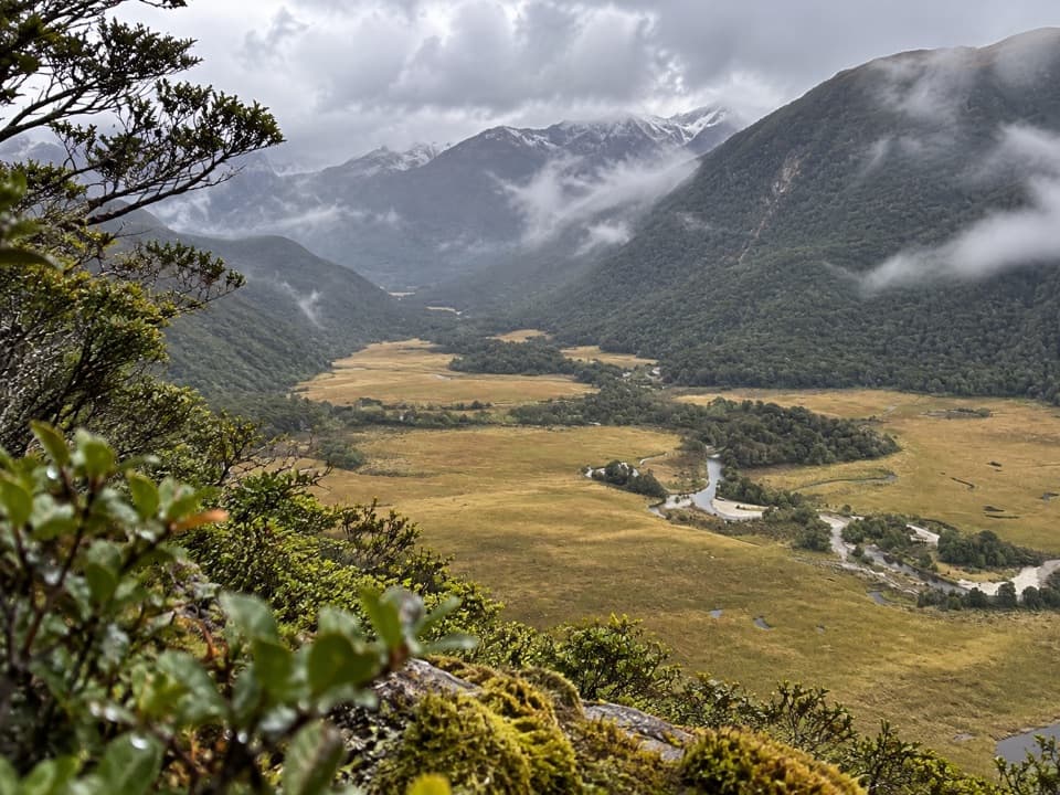
Beyond Clark Hut the track follows the bush edge, crosses the Grebe River, climbs to a saddle and then descends gently to Monowai Hut on the north shore of Lake Monowai. The hut has 12 bunks and is first come, with no booking; its tap water is untreated and must be boiled. The river level can rise quickly after heavy rain, so conditions at the crossing may change the plan. Wet ground, mud and snow are also possible in this area.

Access and return planningThe start is at Borland Saddle, where there is parking, a toilet and a natural-history panel.

The start is at Borland Saddle, where there is parking, a toilet and a natural-history panel. Borland Road is unsealed, narrow and steep, and can close; it is not suitable for campervans, caravans or trailers. There is no phone coverage, fuel or emergency service along the road, so plan for remote access. Dogs are not allowed. A Green Lake Track exit toward the Lake Monowai car park involves a boat crossing; arrange and confirm that transfer before relying on it.

Wildlife

Wildlife in Fiordland

All Fiordland wildlife maps

Sighting maps show where each species has been reported across Fiordland. Wildlife moves, so no sighting is guaranteed.

Keep exploring

Near Borland Road to Monowai Hut Track

See it all on the map

Trails that start nearby

Places near the trailhead

Parkwolf’s Fiordland ranking

Top-rated trails in Fiordland

All 77 trails
  1. 1Milford TrackChallenging · 53.5 km
  2. 2Routeburn TrackChallenging · 33 km
  3. 3Kepler TrackChallenging · 60 km
  4. 4Routeburn Track: Key Summit TrackModerate · 6.8 km
  5. 5Lake Marian TrackChallenging · 6.2 km
  6. 6Hump Ridge TrackChallenging · 61.5 km

Take Parkwolf to Fiordland.

The audio tour guide for the drive, plus offline maps, trails, and wildlife heatmaps for when the signal drops.

4.7 from 8,600+ ratings

Download Parkwolf on the App StoreGet Parkwolf on Google Play