Parking
Small turnout on the west side of Milford Road (SH94) just south of the Eglinton River crossing; look for the DOC sign for ‘Glade House’.
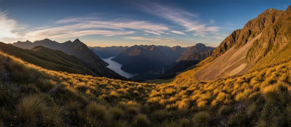
Fiordland National Park, SL
Rugged back door to the Milford Track—no boat required.
Overview
Map & elevation
Plan your hike

The highest, rockiest slopes around here are a summer buffet for grizzly bears.
Fiordland Tour Guide
Parkwolf is a GPS audio tour guide for Fiordland National Park. As you drive, it chimes in with what’s ahead: hidden gems, upcoming stops, history, geology, and wildlife, right through your car’s speakers.
See the Fiordland audio tourRecorded for this trailhead
Dore Pass: A Backdoor to the Milford Track“The carpark you're approaching is for the Dore Pass Route. This is definitely not a casual walk; it's a steep and rugged route meant only for very experienced and well-equipped trampers.”
Plays as you drive up to this trailhead in the Parkwolf Fiordland Tour Guide.
More stories near here in the app
“Fantastic app with many points of information… It’s great to just turn on while you’re driving and it gives you an audio tour of the national Park. We love it!!!!”


Trail guide
Dore Pass Route is a demanding, unformed route from Milford Road over Dore Pass and down to Glade House at the southern end of the Milford Track. The journey crosses open tussock and steep alpine ground, then descends through Fiordland forest into the Clinton Valley. It is a remote route rather than a maintained walking track, with route finding and changing-weather skills required.
The Department of Conservation listing gives 13.5 km (8.4 miles) one way and about 9 hours. The verified mapped corridor for this exact visitor experience, OSM way 178913517 from the Dore Pass Carpark to Glade House, measures about 10.3 km (6.4 miles); the official figure is the conservative planning distance to use. This is a point-to-point route, so arrange transport or an onward Milford Track itinerary before starting.
Expect a steep, rough route with sparse marking, difficult navigation and an unbridged Eglinton River crossing near the start. River levels can rise quickly after rain, and snow or ice can make the pass an alpine undertaking outside the settled summer season. Carry reliable navigation, check weather and river conditions, and do not attempt the crossing when it is unsafe.
Dore Pass provides a high viewpoint over Fiordland, with expansive mountain scenery when cloud allows. Start at the small Dore Pass Carpark on the west side of Milford Road (SH94), just south of the Eglinton River crossing; the route finishes at Glade House. Dogs are not permitted and the route is for trampers on foot only. If continuing on the Milford Track, book the required huts and arrange the appropriate transport in advance.
Wildlife
 1,181 sightingsKeaMost seen around 10 AMSighting map
 199 sightingsFiordland PenguinMost seen around 7 PMSighting map
 228 sightingsBlue DuckMost seen around 5 PMSighting map
 32 sightingsBottlenose DolphinMost seen around 5 PMSighting map
 247 sightingsNew Zealand Fur SealMost seen around 6 PMSighting map
 58 sightingsKākāMost seen around 6 PMSighting map
Sighting maps show where each species has been reported across Fiordland. Wildlife moves, so no sighting is guaranteed.
Keep exploring
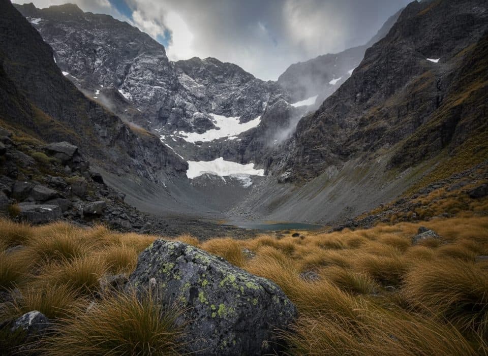 ChallengingMistake Creek Track10 km · 3.5 hr · 4.5 km awayWild beech valley to open flats with a walk wire and crossings.
 ChallengingMilford Track53.4 km · 20 hr · 7 km awayFour days of rainforest, alpine pass, and waterfalls to Milford SoundEasyEglinton Nature Walk1.4 km · 45 min · 7.9 km awayFlat, easy red-beech forest loop with Lake Gunn and mountain views.
 EasyCascade Creek Nature Walk1.4 km · 45 min · 7.9 km awayShort beech-forest loop with easy Lake Gunn and mountain peeks
 EasyLake Gunn Nature Walk1.4 km · 45 min · 7.9 km awayEasy beech-forest loop from Cascade Creek to Lake GunnEasyMirror Lakes Walk0.4 km · 10 min · 8.9 km awayTen-minute, mirror-perfect stop for Earl Mountains reflections
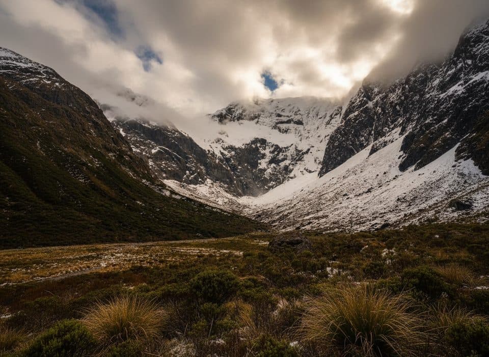 ChallengingFalls Creek Route6.8 km · 8 hr · 15.3 km awayAn expert route from Christie Falls into raw Fiordland backcountry
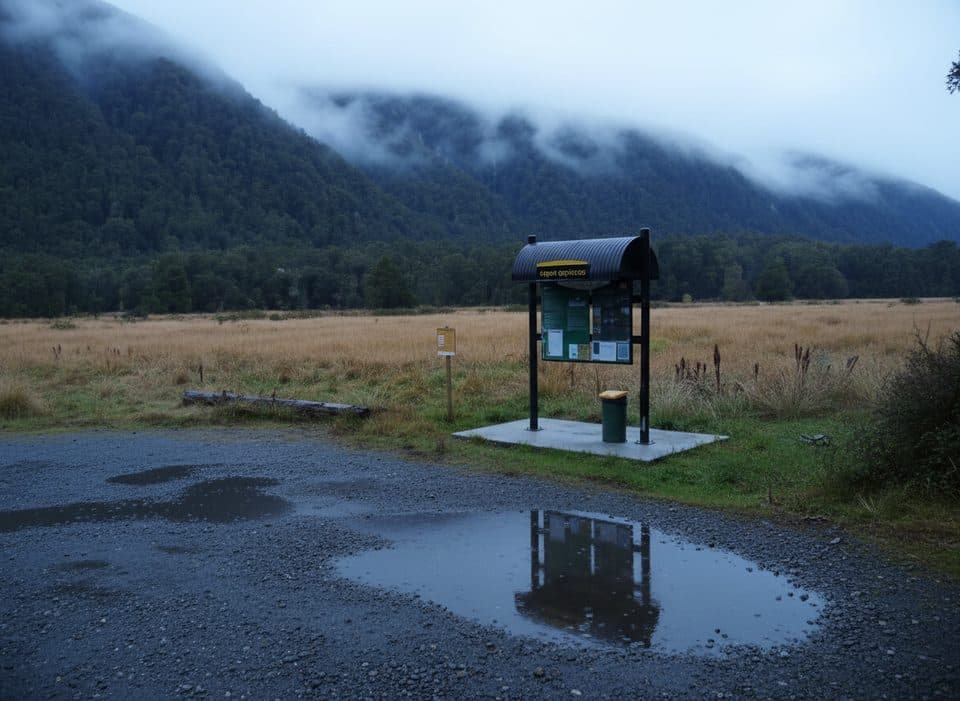 Campground · 2.6 km awayUpper Eglinton CampsiteTiny DOC camp with big Eglinton Valley views
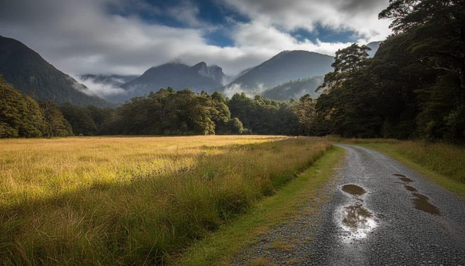 Campground · 3 km awayKiosk Creek CampsiteQuiet DOC camp with moraine views and big Fiordland sunsets
 Scenic pullout · 3.3 km awayKnobs FlatMilford Road’s go-to pit stop with flush loos and valley views
 Sight · 4.5 km awayWalkwireOld-school cable bridge adventure just off Milford Road
 Campground · 5.9 km awayDeer Flat CampsiteRiverside DOC camp on Milford Road with big views and quiet vibes
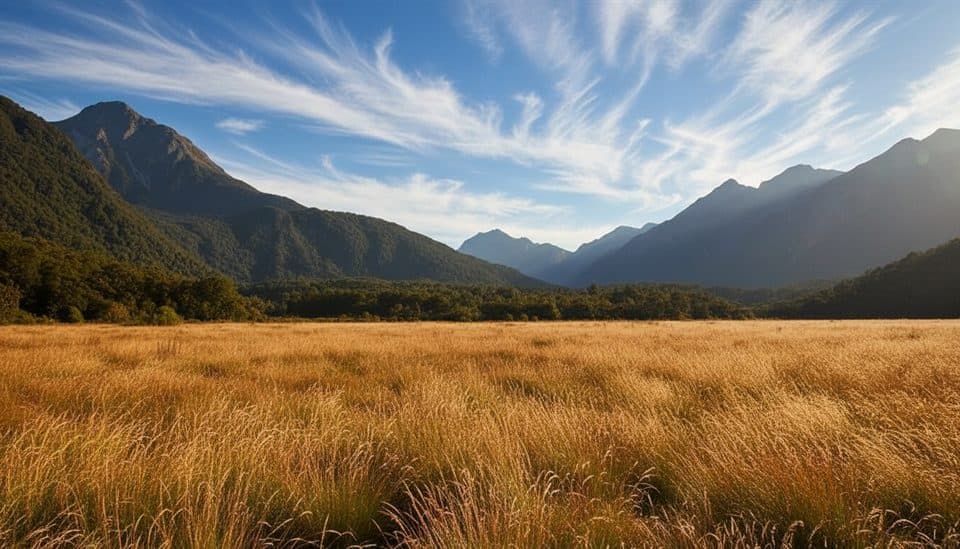 Campground · 7.6 km awayCascade Creek CampsiteBig, scenic DOC camp near Lake Gunn and Milford Road
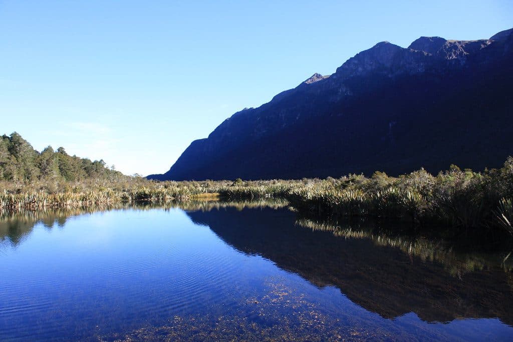 Sight · 9 km awayMirror LakesTiny lakes that perfectly mirror the Earl Mountains on calm days
 Lodging · 9.7 km awayClinton HutFirst hut on the Milford Track, set by river, forest and wetlands
Parkwolf’s Fiordland ranking

The audio tour guide for the drive, plus offline maps, trails, and wildlife heatmaps for when the signal drops.


