Fiordland National Park, SL

Knobs Flat Nature Walk

A short forest walk from Knobs Flat to a hidden 33-m waterfall in Fiordland.

Length
1.4km
Time
45min
Elev. change
62m
Difficulty
Moderate
  • No dogs
  • High point 421 m

Hear the audio tour

Knobs Flat: The Milford Road's Essential Pit Stop

Overview

About Knobs Flat Nature Walk

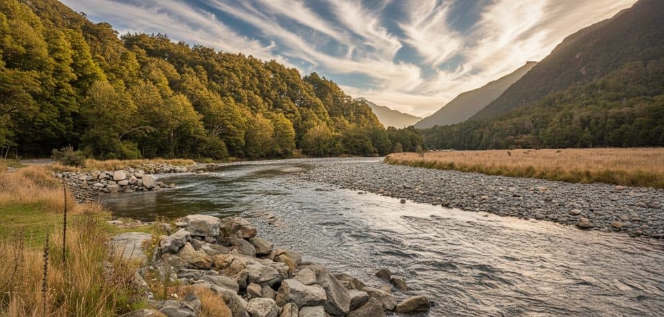
This out-and-back walk starts at the Knobs Flat visitor centre and follows a forest route to Knob's Flat Waterfall, a small 33-m cascade in the beech forest near the Kiosk Creek area. It is a good short stop on the Te Anau–Milford Highway, but the waterfall route is more of a moderate bush walk than a fully formed, signed DOC short walk.

Allow roughly 30–60 minutes for the return trip; most walkers should plan on about 45 minutes. The visitor distance is about 0.9 miles (1.4 km) return. The mapped line represents the physical corridor once from the visitor centre to the waterfall viewpoint; return along the same route rather than duplicating the line in reverse.

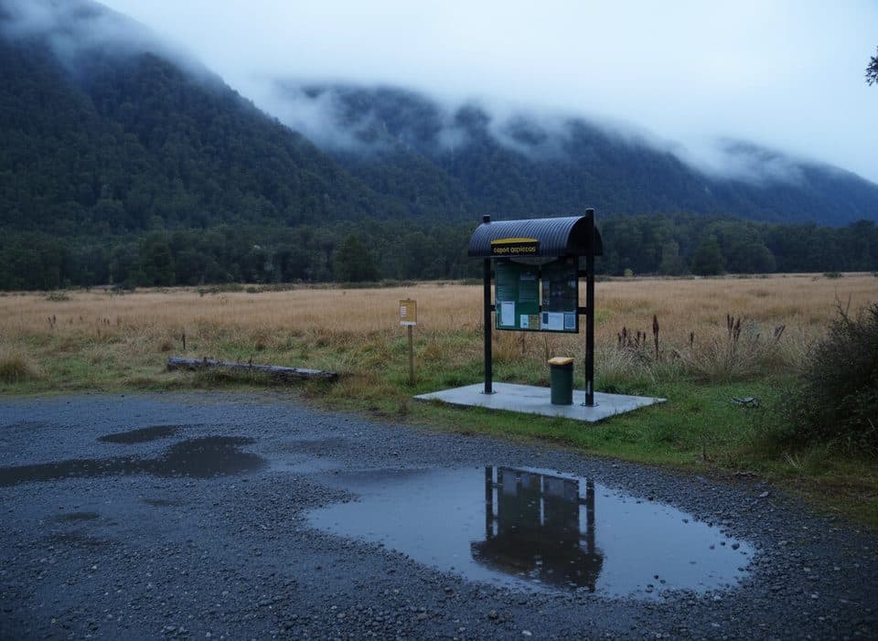
Use the public Knobs Flat visitor-centre and amenity-centre parking area beside SH94. From the toilets and visitor-centre complex, follow the access directions toward the main gravel road and pick up the forest route east of Knobs Flat. The waterfall is sometimes called Knob's Flat Waterfall or Kate's Smile, and the route may be described informally as the Knobs Flat Waterfall Track.

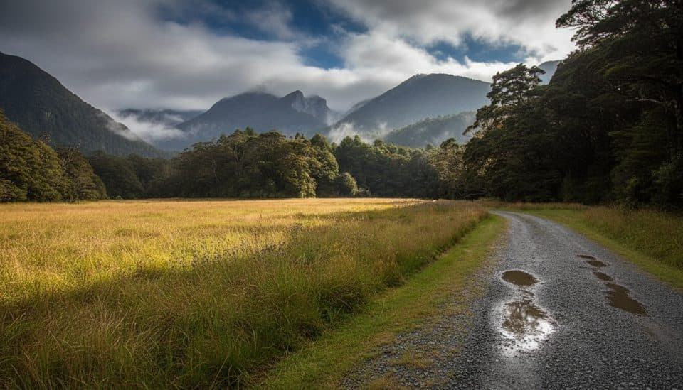
Expect dense beech forest, uneven ground, and mud or slick surfaces after rain. Stay on the established route where possible and take care near the waterfall and any wet banks. Fiordland weather changes quickly, and traffic on SH94 is fast, so use the signed parking area and take care when crossing or walking near the highway.

Why go

  • Short waterfall outing with easy roadside access
  • Quiet beech-forest setting near the Knobs Flat facilities

Heads up

  • The forest route can be muddy and slippery after rain
  • Informal wayfinding and uneven ground make it more than a paved nature stroll

Map & elevation

The route

Loading the Fiordland map
Full map
Elevation359–421 m
TrailheadKnobs Flat Visitor Centre / amenity centre-44.97724, 168.01727
Keep this map with you offline in the Parkwolf app

Plan your hike

Before you go

Parking

Use the public parking at the Knobs Flat visitor-centre and amenity-centre complex beside SH94. Toilets and reception are nearby; follow the access directions from the complex toward the forest route rather than parking on the highway shoulder.

Safety

Fiordland weather changes quickly and the forest route can be muddy or slippery. Follow the established route, take care near wet banks and the waterfall, and use extra caution around fast traffic on SH94.

A park ranger sits on a dash-mounted phone, talking, as Parkwolf’s Tour Guide plays “Army Cutworm Moths: A Grizzly Bear Buffet” on Grand Loop Road below Dunraven Pass in Yellowstone
Parkwolf Tour GuideThe highest, rockiest slopes around here are a summer buffet for grizzly bears.

Fiordland Tour Guide

Your drive to Knobs Flat Nature Walk, narrated.

Parkwolf is a GPS audio tour guide for Fiordland National Park. As you drive, it chimes in with what’s ahead: hidden gems, upcoming stops, history, geology, and wildlife, right through your car’s speakers.

See the Fiordland audio tour

Recorded for this area

Knobs Flat: The Milford Road's Essential Pit Stop
Listen
“The wide spot in the Eglinton Valley you're approaching is Knobs Flat. This is the main pit stop on the drive, and a key piece of information is that it's the last place with flush toilets before reaching Milford Sound.”

Plays near this trailhead in the Parkwolf Fiordland Tour Guide.

More stories near here in the app

  • Kiosk Creek Campsite: A Quiet Spot
  • Kōaro in Kiosk Creek: Fiordland’s Climbing Fish
  • Hear Fiordland: A Birdsong Cheat Sheet
  • Deer Flat Campsite: A Quiet Riverside Spot
  • 126 audio storiesacross Fiordland’s roads, triggered by GPS as you drive
  • Wildlife heatmapsfor Kea, Fiordland Penguin, Blue Duck, and 13 more
  • Works offlinemaps, 68 trails, 124 places, and audio download before you lose signal
  • CarPlay readysimple controls built for the drive
★★★★★
“Fantastic app with many points of information… It’s great to just turn on while you’re driving and it gives you an audio tour of the national Park. We love it!!!!”
JMJamesApp Store review
Download Parkwolf on the App StoreGet Parkwolf on Google Play

4.7 from 8,600+ ratings

Wildlife

Wildlife in Fiordland

All Fiordland wildlife maps

Sighting maps show where each species has been reported across Fiordland. Wildlife moves, so no sighting is guaranteed.

Keep exploring

Near Knobs Flat Nature Walk

See it all on the map

Trails that start nearby

Places near the trailhead

Parkwolf’s Fiordland ranking

Top-rated trails in Fiordland

All 68 trails
  1. 1Milford TrackChallenging · 53.4 km
  2. 2Routeburn TrackChallenging · 33 km
  3. 3Kepler TrackChallenging · 60 km
  4. 4Luxmore Summit TrackChallenging · 33.5 km
  5. 5Kepler Track to Mount LuxmoreChallenging · 37 km
  6. 6Sutherland Falls TrackModerate · 4.7 km

Take Parkwolf to Fiordland.

The audio tour guide for the drive, plus offline maps, trails, and wildlife heatmaps for when the signal drops.

4.7 from 8,600+ ratings

Download Parkwolf on the App StoreGet Parkwolf on Google Play