Parking
Lake Gunn Nature Walk car park at Cascade Creek on Milford Road (SH94), about 78 km from Te Anau; nearby Cascade Creek Campsite has toilets and a picnic table. The campsite access is gravel.
Fiordland National Park, SL
Flat, easy red-beech forest loop with Lake Gunn and mountain views.
Overview
Lake Gunn Nature Walk—also listed in older trail data as Eglinton Nature Walk—is a 1.4 km / 0.87 mile total loop from the Lake Gunn Nature Walk car park at Cascade Creek on Milford Road (SH94). Allow about 45 minutes. The flat, easy track winds through red beech forest draped in moss, with interpretation panels, views toward Lake Gunn and the surrounding mountains, and a short side path to a stony beach.
The Eglinton Valley is a stronghold for native forest birds including South Island robins/kakaruai, tomtits, riflemen, kākā and yellowhead/mohua; short-tailed and long-tailed bats are also recorded in the area. The loop is near Cascade Creek Campsite, where toilets and a picnic table are available. The mapped track is not marked wheelchair accessible, and conditions can be wet or slippery after rain. No dogs are allowed in Fiordland National Park.
Fiordland weather changes rapidly, including in summer, so carry a rain layer. This is a short, family-friendly forest-and-lake walk rather than a strenuous hike, and it is a convenient way to sample the Eglinton Valley while travelling the Milford Road.
Map & elevation
Plan your hike

The highest, rockiest slopes around here are a summer buffet for grizzly bears.
Fiordland Tour Guide
Parkwolf is a GPS audio tour guide for Fiordland National Park. As you drive, it chimes in with what’s ahead: hidden gems, upcoming stops, history, geology, and wildlife, right through your car’s speakers.
See the Fiordland audio tourRecorded for this area
Cascade Creek and the Lake Gunn Nature Walk“The large, grassy flats you're seeing are part of the Cascade Creek campsite. Even if you're not staying the night, the main reason to pull over here is for the Lake Gunn Nature Walk.”
Plays near this trailhead in the Parkwolf Fiordland Tour Guide.
More stories near here in the app
“Fantastic app with many points of information… It’s great to just turn on while you’re driving and it gives you an audio tour of the national Park. We love it!!!!”


Wildlife
 1,181 sightingsKeaMost seen around 10 AMSighting map
 199 sightingsFiordland PenguinMost seen around 7 PMSighting map
 228 sightingsBlue DuckMost seen around 5 PMSighting map
 32 sightingsBottlenose DolphinMost seen around 5 PMSighting map
 247 sightingsNew Zealand Fur SealMost seen around 6 PMSighting map
 58 sightingsKākāMost seen around 6 PMSighting map
Sighting maps show where each species has been reported across Fiordland. Wildlife moves, so no sighting is guaranteed.
Keep exploring
 EasyCascade Creek Nature Walk1.4 km · 45 min · At the trailheadShort beech-forest loop with easy Lake Gunn and mountain peeks
 EasyLake Gunn Nature Walk1.4 km · 45 min · At the trailheadEasy beech-forest loop from Cascade Creek to Lake Gunn
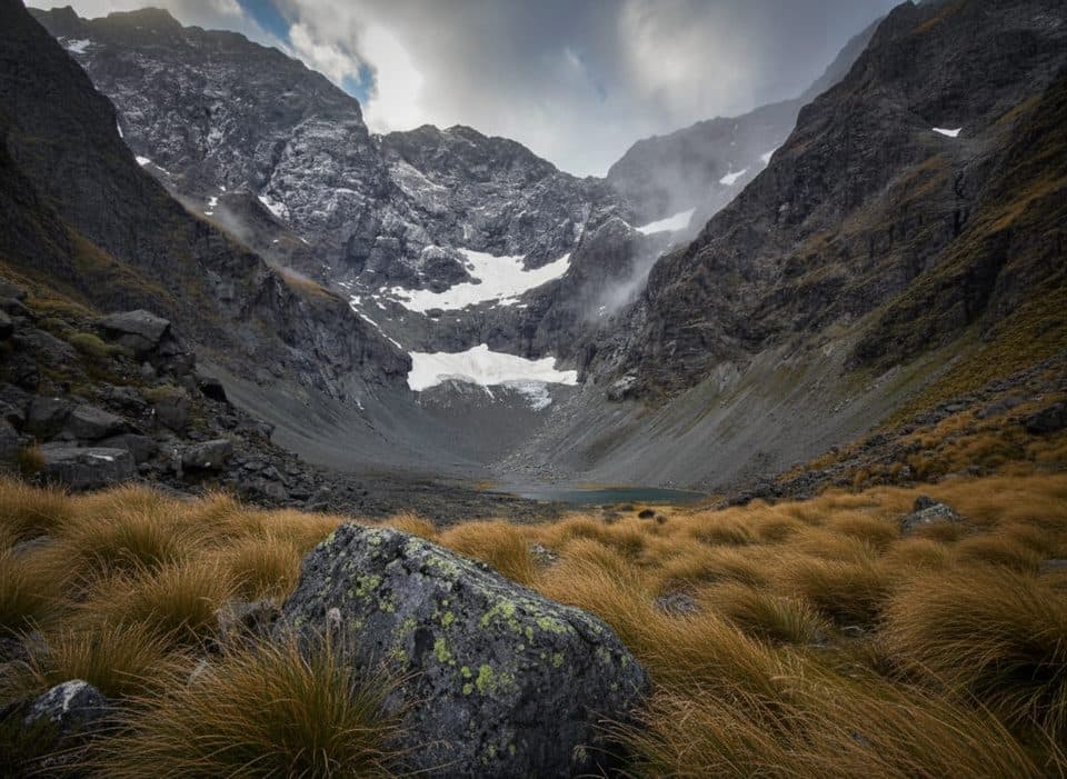 ChallengingMistake Creek Track10 km · 3.5 hr · 3.6 km awayWild beech valley to open flats with a walk wire and crossings.
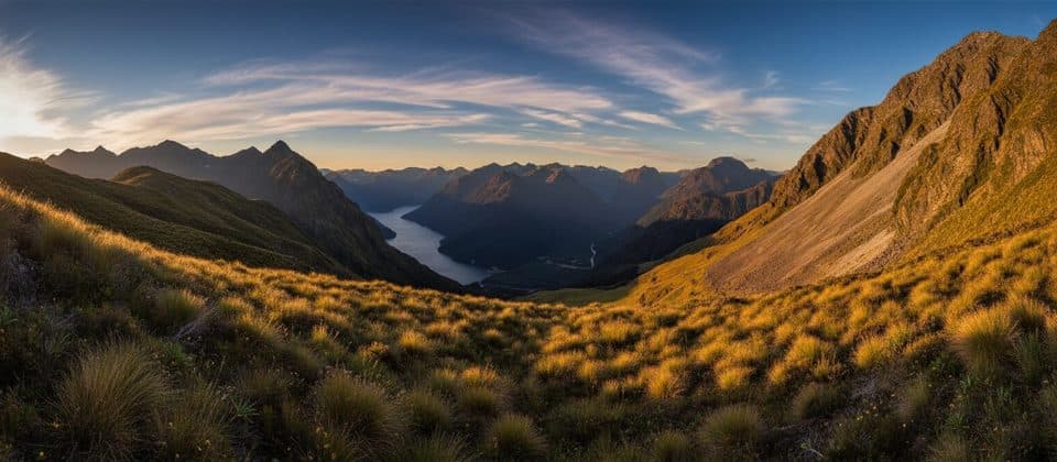 ChallengingDore Pass Route10.3 km · 9 hr · 7.9 km awayRugged back door to the Milford Track—no boat required.
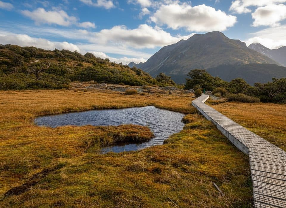 ModerateKey Summit Track6.9 km · 3 hr · 8.2 km awayA short alpine climb to tarns and Fiordland-wide views
 ModerateRouteburn Track to Lake Mackenzie11.3 km · 5.5 hr · 8.2 km awayBeech forest, Earland Falls, and a glassy alpine lake
 ModerateRouteburn Track to Earland Falls13.4 km · 6 hr · 8.2 km awayA full-day walk to Fiordland's 174 m waterfall
 EasyLake Howden Track6.8 km · 3 hr · 8.2 km awayA short beech-forest walk from The Divide to Lake Howden.
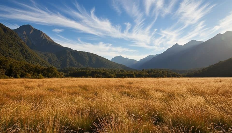 Campground · 0.5 km awayCascade Creek CampsiteBig, scenic DOC camp near Lake Gunn and Milford Road
 Sight · 2.2 km awayŌtāpara / Lake GunnMossy beech forest loop to a mirror-still Fiordland lake
 Sight · 3.6 km awayWalkwireOld-school cable bridge adventure just off Milford Road
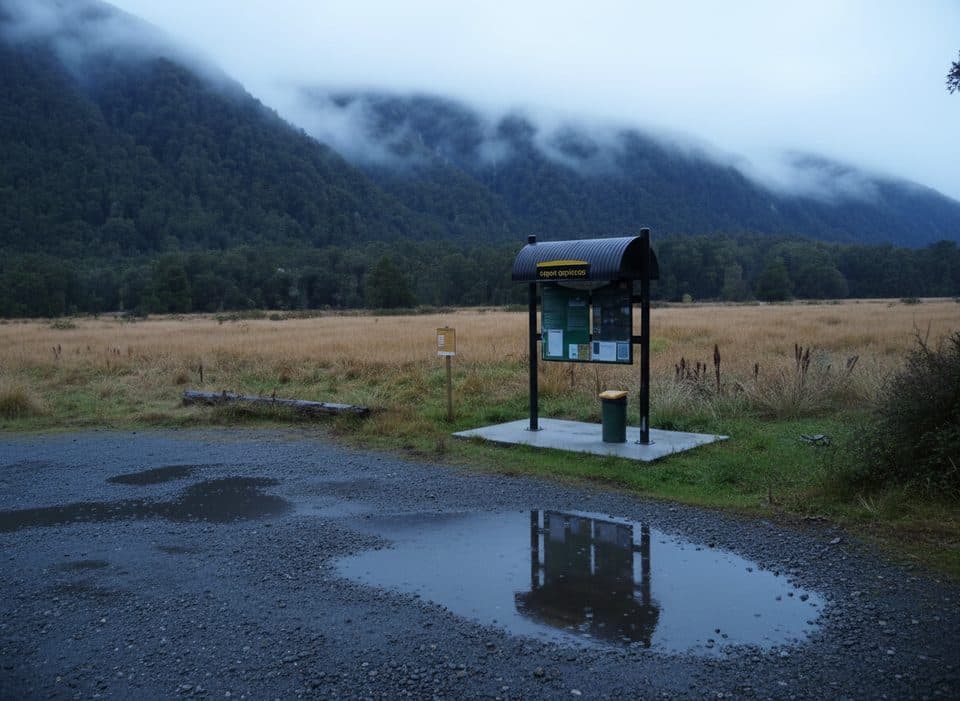 Campground · 5.4 km awayUpper Eglinton CampsiteTiny DOC camp with big Eglinton Valley views
 Sight · 6 km awayLake FergusQuiet roadside lake with mirror reflections in the Eglinton Valley
 Trailhead · 8.3 km awayThe DivideBusy gateway to Routeburn and Key Summit with shelter and toilets
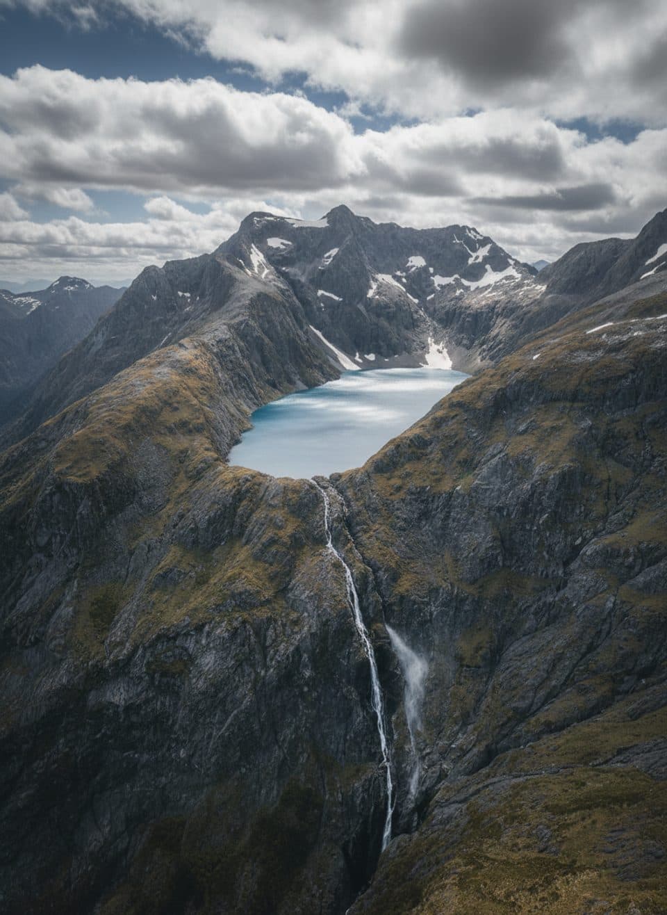 Sight · 9.2 km awayLake ErskineRemote alpine lake of shifting colors, reached by helicopter
 Sight · 9.4 km awayLake HowdenQuiet forest lake at a famous track junction
Parkwolf’s Fiordland ranking

The audio tour guide for the drive, plus offline maps, trails, and wildlife heatmaps for when the signal drops.


