Parking
Gertrude Valley carpark on Milford Sound Highway (SH94), about 98 km from Te Anau. There are no facilities at the carpark; bring everything needed for the route and park only in the signed area.
#10 of 68 trails in Fiordland
Fiordland National Park, SL
Demanding alpine route to a high saddle above the Gertrude Valley
Overview
Map & elevation
Plan your hike

The highest, rockiest slopes around here are a summer buffet for grizzly bears.
Fiordland Tour Guide
Parkwolf is a GPS audio tour guide for Fiordland National Park. As you drive, it chimes in with what’s ahead: hidden gems, upcoming stops, history, geology, and wildlife, right through your car’s speakers.
See the Fiordland audio tourRecorded for this area
Pīwauwau/Rock Wren: The Alpine Survivor“Up here in the boulderfields, keep an eye out for a tiny bird bouncing between the rocks. That's the pīwauwau, or rock wren, New Zealand's only true alpine bird.”
Plays on the road 0.6 km from the trailhead in the Parkwolf Fiordland Tour Guide.
More stories near here in the app
“Fantastic app with many points of information… It’s great to just turn on while you’re driving and it gives you an audio tour of the national Park. We love it!!!!”


Trail guide
Gertrude Saddle is a demanding alpine out-and-back in Fiordland National Park. From the Gertrude Valley carpark, the route climbs through a glacial valley, crosses streams, and reaches steep granite slabs and boulder terrain before finishing at Gertrude Saddle, with views toward Milford Sound/Piopiotahi and the Darran Mountains.
The official visitor distance is about 7 km return (4.3 miles) via the same track, and DOC gives 4–6 hours. The stored line follows the physical corridor once from the carpark to the saddle; turn around at the saddle and return along the same route. The mapped one-way corridor is about 4.2 km, so the route line is intentionally shorter than the total hiking distance.
This is an expert route, not a casual walk. Above the bushline there are no permanent markers; rock cairns and navigation judgment matter. The route includes steep, exposed rock slabs assisted by steel cables, scrambling, multiple stream crossings, and sections that become treacherous when wet or frosty. Follow only in settled, dry conditions, and turn back if weather or water levels deteriorate.
The trailhead is the Gertrude Valley carpark on Milford Sound Highway (SH94), about 98 km from Te Anau. There are no facilities on the route or at the carpark. Carry food, water, warm and waterproof layers, navigation equipment, and a personal locator beacon. This is an alpine route with avalanche danger after snow, especially in winter; check current DOC and Fiordland weather and avalanche information before setting out. Dogs are not permitted.
Wildlife
 1,181 sightingsKeaMost seen around 10 AMSighting map
 199 sightingsFiordland PenguinMost seen around 7 PMSighting map
 228 sightingsBlue DuckMost seen around 5 PMSighting map
 32 sightingsBottlenose DolphinMost seen around 5 PMSighting map
 247 sightingsNew Zealand Fur SealMost seen around 6 PMSighting map
 58 sightingsKākāMost seen around 6 PMSighting map
Sighting maps show where each species has been reported across Fiordland. Wildlife moves, so no sighting is guaranteed.
Keep exploring
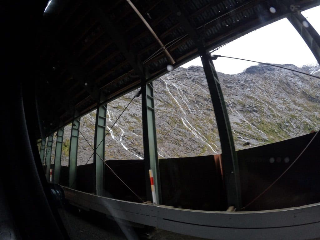 EasyHomer Tunnel Nature Walk0.7 km · 20 min · 1.2 km awayA short self-guided alpine loop beside Homer Tunnel’s Hollyford-side portalEasyThe Chasm Walk0.4 km · 20 min · 6.6 km awayA quick wow: roaring chasm, sculpted rock, and lush rainforest
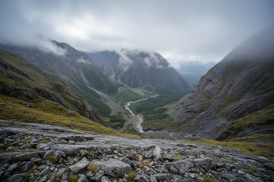 ChallengingGrave–Talbot Track7.2 km · 4 hr · 7.5 km awayA hard, rough out-and-back from Gulliver River Bridge to the Esperance River grasslands.
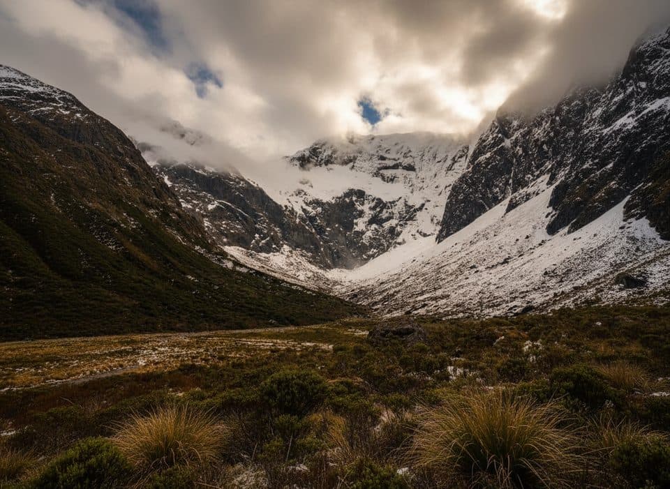 ChallengingFalls Creek Route6.8 km · 8 hr · 8.2 km awayAn expert route from Christie Falls into raw Fiordland backcountry
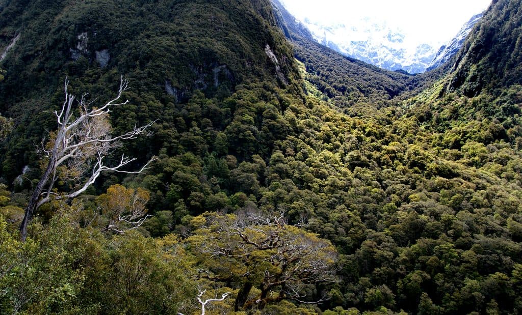 ChallengingLake Marian Track6.3 km · 3 hr · 9 km awayShort, rough climb to a mirror-still alpine lake in a hanging valley
 EasyMarian Falls Track1.3 km · 20 min · 9 km awayA quick rainforest stroll to photogenic cascades and a swing bridge
 Sight · 1.8 km awayHomer TunnelNarrow alpine tunnel that unlocks the road to Milford Sound
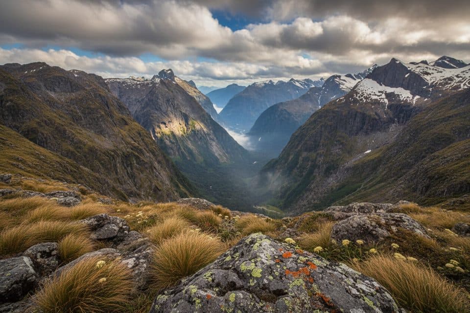 Sight · 3 km awayGertrude SaddleAlpine saddle with Milford Sound views via steep slabs and Black Lake
 Scenic pullout · 3.9 km awayMonkey CreekGlacier-clear water and cheeky kea at a dramatic roadside valley
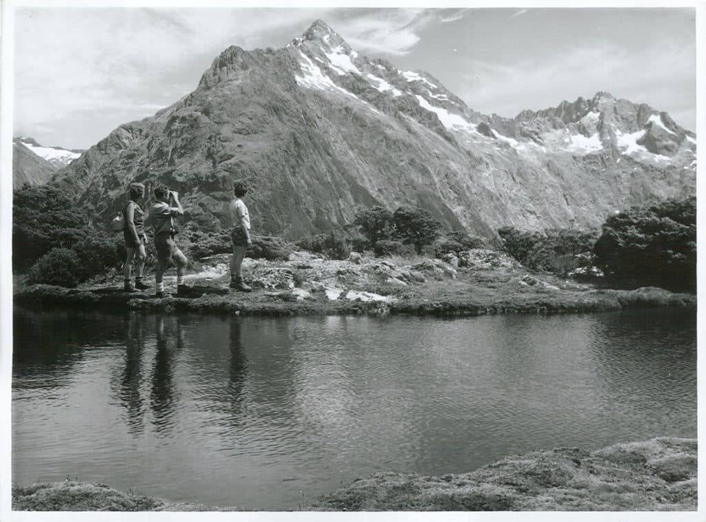 Sight · 4.5 km awayMount ChristinaA towering Darrans peak dominating views along the Milford Road
 Sight · 6 km awayHinepipiwai / Lake MarianMirror-still alpine lake in a dramatic hanging valley
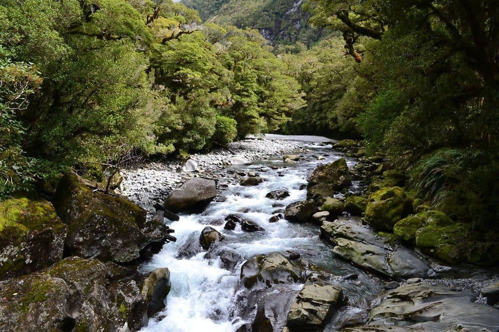 Sight · 6.7 km awayThe ChasmShort walk to a roaring, river‑carved chasm of sculpted rock
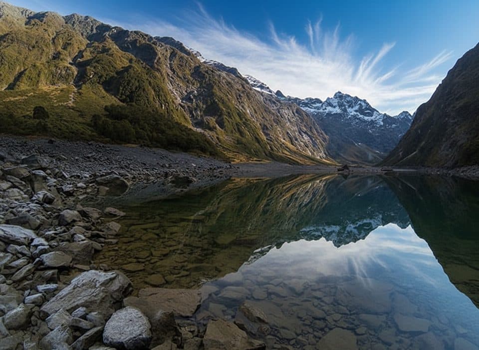 Sight · 7.9 km awayLake Marian LookoutShort walk to a gantry over thundering Marian Falls
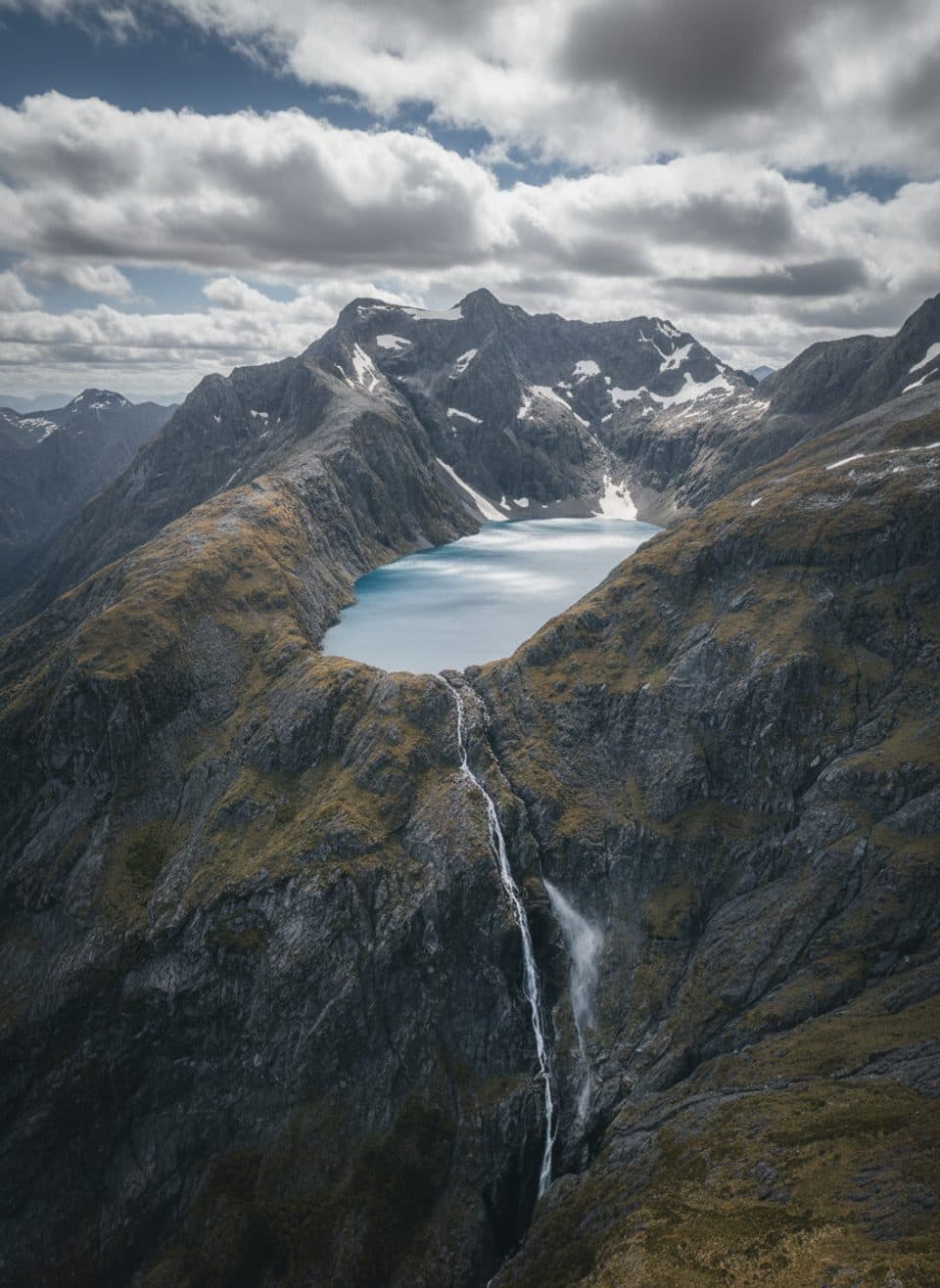 Sight · 7.9 km awayLake ErskineRemote alpine lake of shifting colors, reached by helicopter
Parkwolf’s Fiordland ranking

The audio tour guide for the drive, plus offline maps, trails, and wildlife heatmaps for when the signal drops.


