Rarakau Car Park to Beach in Fiordland National Park

Fiordland National Park, SL

Rarakau Car Park to Beach

Rainforest steps, a swing bridge, then a Te Waewae Bay beach.

Length
6.2km
Time
1.5hr
Elev. change
73m
Difficulty
Easy
  • No dogs
  • High point 80 m
Parkwolf audio tour112 stories across Fiordland’s roads

Overview

About Rarakau Car Park to Beach

Why go

  • Rainforest, bridge and beach in one short coastal outing
  • Hector’s dolphins are often seen along this coast

Heads up

  • The steep stairway makes the approach harder than the easy shore section
Rarakau Car Park to Beach is a 6.2 km return walk along the first part of the South Coast Track, ending at a beach beyond the Waikōau River. DOC allows about 1 hour 30 minutes; leave extra time for the shore. It is a short taste of Fiordland’s coast, not the 20 km through-walk to Port Craig. The DOC brochure describes the turnaround as the beach beyond the river and baches, so return there instead of continuing down the South Coast Track.
Parkwolf’s verdictIs this the beach walk for you?

Map & elevation

The route

Loading the Fiordland map
Full map
Elevation7–80 m
TrailheadRarakau Car Park-46.14647, 167.47277
Keep this map with you offline in the Parkwolf app

Plan your hike

Before you go

Parking

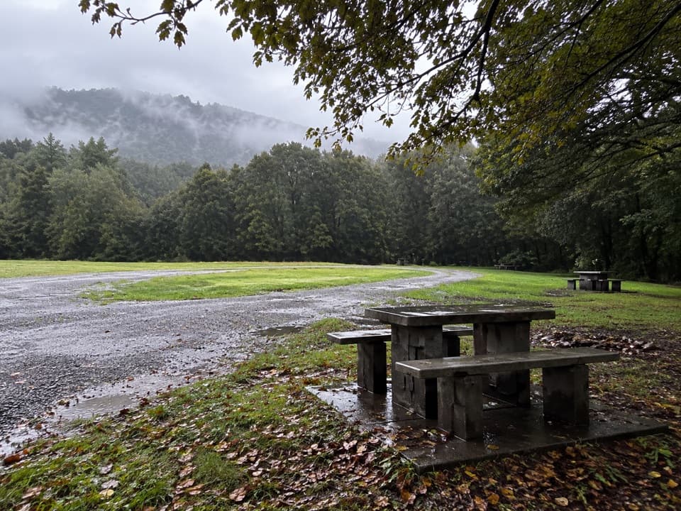
Follow Papatotara Coast Road from Tuatapere and the Bluecliffs Beach/Rarakau signs to the signed Rarakau car park by Rarakau Station; about 7 km of the access road is unsealed. DOC places the track entrance about 150 m before the car park and says vehicles are left at the owner’s risk. A parking payment may apply; visitor reports differ on whether it is a fee or a donation, so follow the posted instructions.

Safety

The route descends steep steps to the coastal terrace and crosses Waikōau swing bridge. Check DOC track alerts before leaving because the current bridge status was not confirmed in this research.

A park ranger sits on a dash-mounted phone, talking, as Parkwolf’s Tour Guide plays “Army Cutworm Moths: A Grizzly Bear Buffet” on Grand Loop Road below Dunraven Pass in Yellowstone
Parkwolf Tour GuideThe highest, rockiest slopes around here are a summer buffet for grizzly bears.

Fiordland Tour Guide

Your drive to Rarakau Car Park to Beach, narrated.

Parkwolf is a GPS audio tour guide for Fiordland National Park. As you drive, it chimes in with what’s ahead: hidden gems, upcoming stops, history, geology, and wildlife, right through your car’s speakers.

See the Fiordland audio tour
  • 112 audio storiesacross Fiordland’s roads, triggered by GPS as you drive
  • Wildlife heatmapsfor Kea, Fiordland Penguin, Blue Duck, and 13 more
  • Works offlinemaps, 77 trails, 102 places, and audio download before you lose signal
  • CarPlay readysimple controls built for the drive
★★★★★
“Fantastic app with many points of information… It’s great to just turn on while you’re driving and it gives you an audio tour of the national Park. We love it!!!!”
JMJamesApp Store review
Download Parkwolf on the App StoreGet Parkwolf on Google Play

4.7 from 8,600+ ratings

Trail guide

Hiking Rarakau Car Park to Beach

From rainforest to the coastFrom Rarakau, the track runs through lush rainforest before a steep flight of steps drops to a…

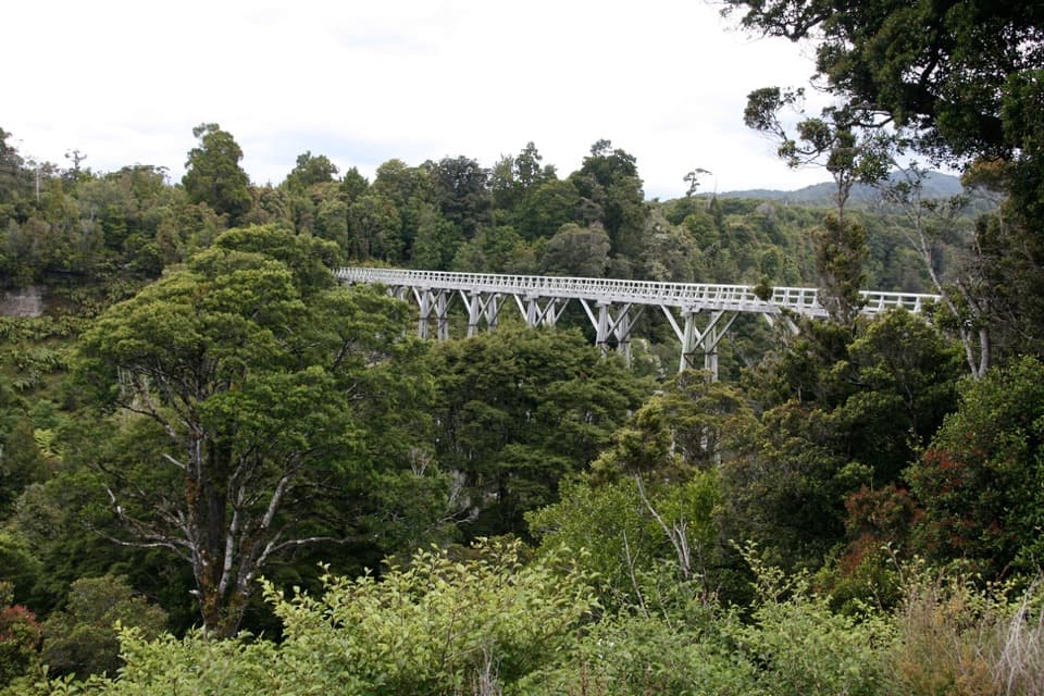
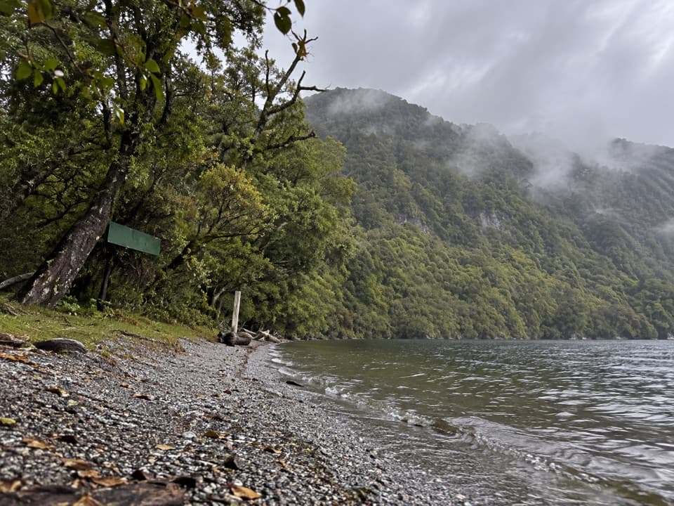
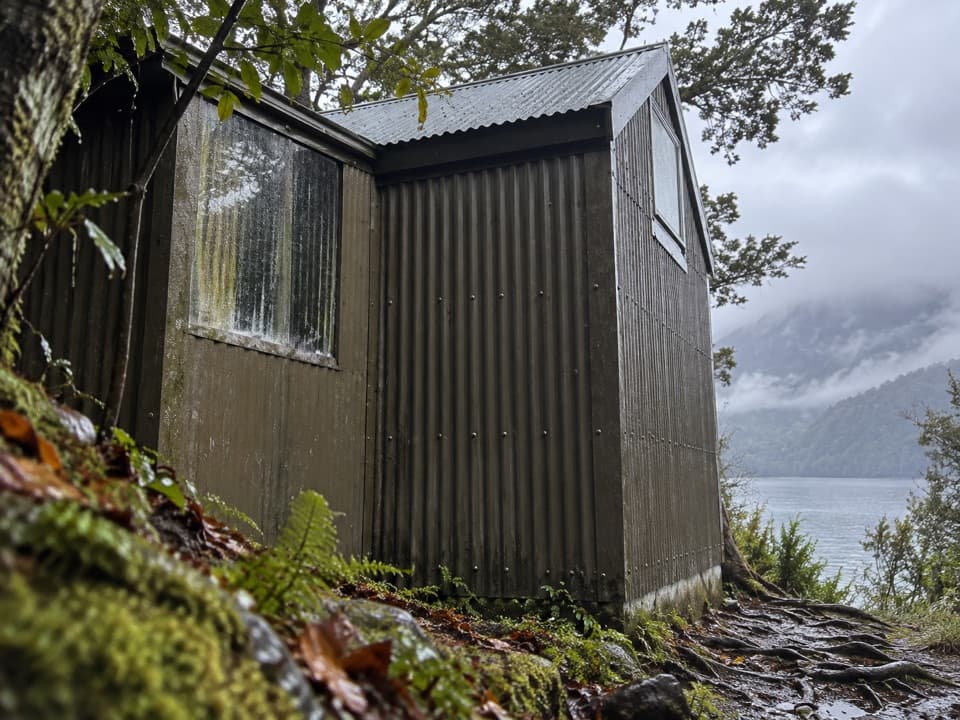
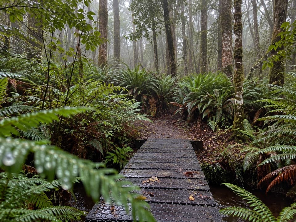
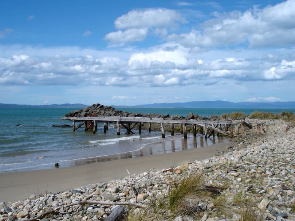
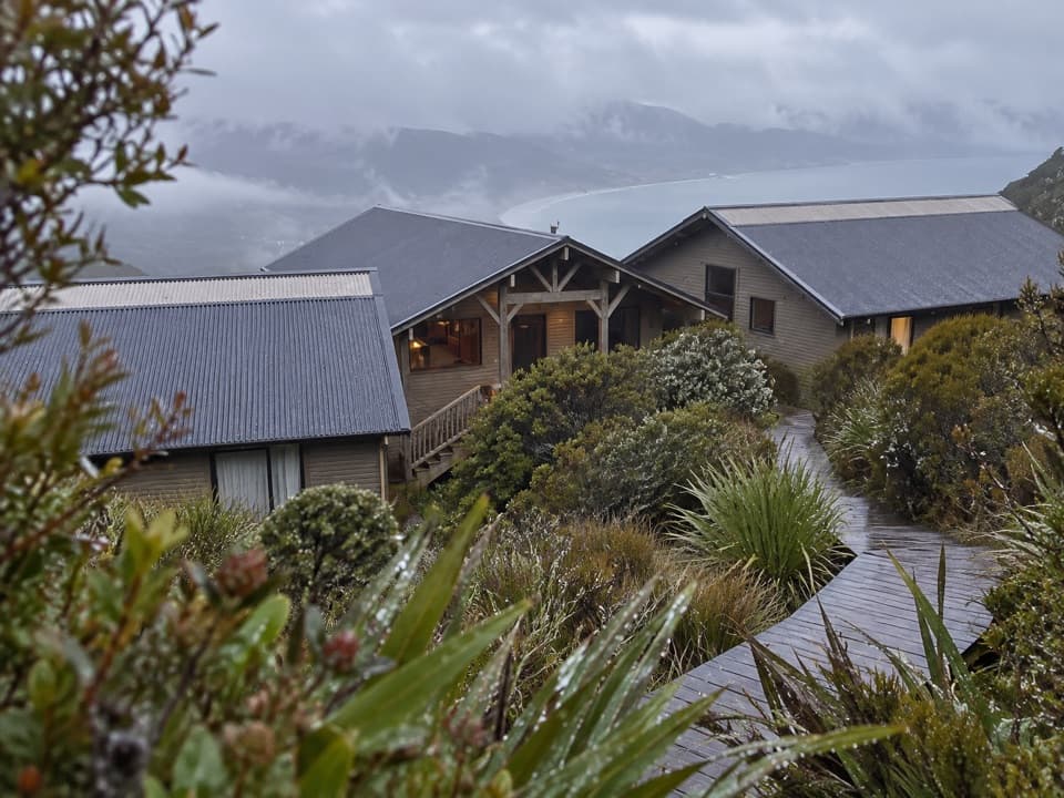
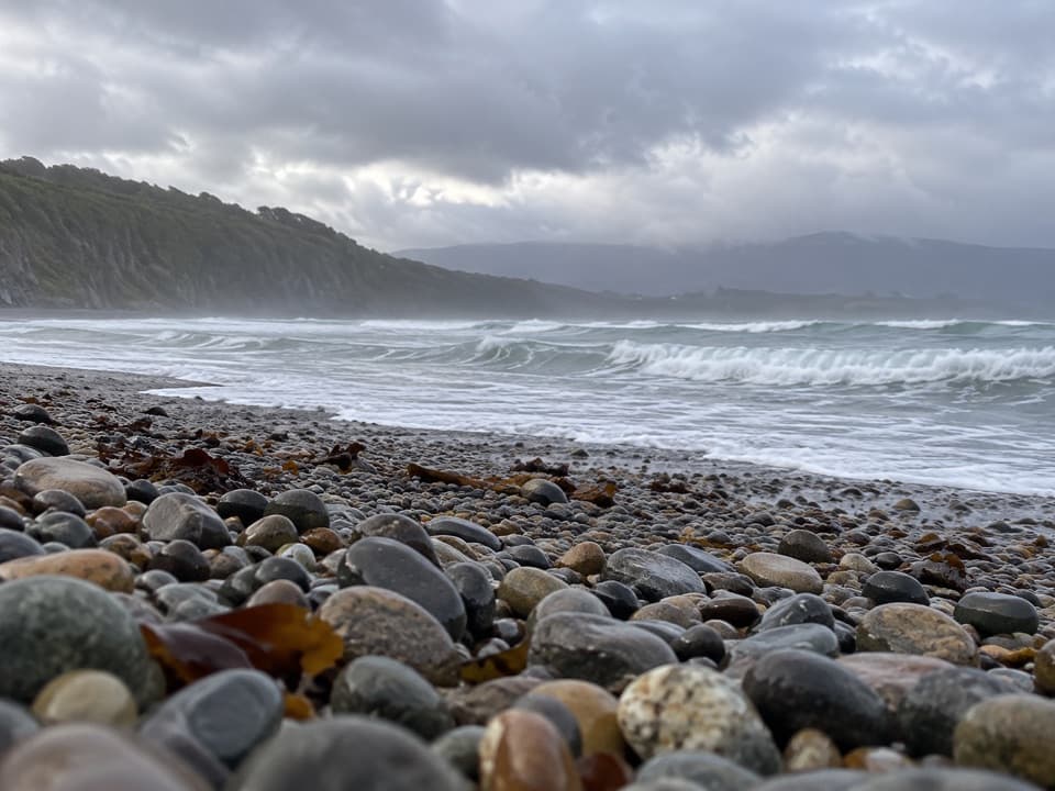
From Rarakau, the track runs through lush rainforest before a steep flight of steps drops to a terrace outside the bush. After that, the walking is easy and open, with views across Te Waewae Bay. The route reaches a swing bridge over Waikōau River; cross it, pass the cluster of whitebaiters’ baches, and continue to the beach. DOC does not name a precise beach marker, so use the first beach area beyond the baches as the turnaround.

Shore time and wildlifeLook offshore for ahoaho (Hector’s dolphins), which DOC says are often seen along this coast.

Look offshore for ahoaho (Hector’s dolphins), which DOC says are often seen along this coast. Tohoraha (southern right whales) are possible, but sightings are never a reason to count on seeing one. The wide shore and forested ridge across the bay make the coast the natural photo stop; keep some shoreline in the frame with the bay beyond it. DOC calls the walk family-friendly, though the steep stair section can be a poor fit for anyone who struggles with steps. Dogs are not permitted on the South Coast Track. The current condition of the Waikōau swing bridge was not confirmed in this research, so check DOC track alerts before setting out.

Wildlife

Wildlife in Fiordland

All Fiordland wildlife maps

Sighting maps show where each species has been reported across Fiordland. Wildlife moves, so no sighting is guaranteed.

Parkwolf’s Fiordland ranking

Top-rated trails in Fiordland

All 77 trails
  1. 1Milford TrackChallenging · 53.5 km
  2. 2Routeburn TrackChallenging · 33 km
  3. 3Kepler TrackChallenging · 60 km
  4. 4Routeburn Track: Key Summit TrackModerate · 6.8 km
  5. 5Lake Marian TrackChallenging · 6.2 km
  6. 6Hump Ridge TrackChallenging · 61.5 km

Take Parkwolf to Fiordland.

The audio tour guide for the drive, plus offline maps, trails, and wildlife heatmaps for when the signal drops.

4.7 from 8,600+ ratings

Download Parkwolf on the App StoreGet Parkwolf on Google Play