Teal Bay to Lake Poteriteri Hut Route in Fiordland National Park

Fiordland National Park, SL

Teal Bay to Lake Poteriteri Hut Route

Remote hut to hut route with two swingbridges and unbridged streams.

Length
14.5km
Time
10hr
Elev. change
418m
Difficulty
Challenging
  • No dogs
  • High point 446 m
Parkwolf audio tour112 stories across Fiordland’s roads

Overview

About Teal Bay to Lake Poteriteri Hut Route

Why go

  • Two swingbridges make the river crossings memorable.
  • Connects two backcountry huts through little-visited forest.

Heads up

  • The last 11 km has unbridged streams that can rise after rain.
  • Expert navigation and point-to-point logistics are demanding.

Map & elevation

The route

Loading the Fiordland map
Full map
Elevation28–446 m
TrailheadTeal Bay Hut-46.06658, 167.29484
Keep this map with you offline in the Parkwolf app

Plan your hike

Before you go

Parking

Teal Bay Hut has no road access or parking. The separate Lake Hauroko to Teal Bay Hut Track is an approximately nine-hour walking approach; an alternate approach connects from the South Coast Track near Rarakau car park. The far end is also remote, so arrange the start and return route before setting out.

Safety

Expert remote-backcountry route requiring above-average fitness and high-level navigation and survival skills. The final 11 km to Lake Poteriteri Hut has unbridged streams that can rise quickly after rain. No dogs.

A park ranger sits on a dash-mounted phone, talking, as Parkwolf’s Tour Guide plays “Army Cutworm Moths: A Grizzly Bear Buffet” on Grand Loop Road below Dunraven Pass in Yellowstone
Parkwolf Tour GuideThe highest, rockiest slopes around here are a summer buffet for grizzly bears.

Fiordland Tour Guide

Your drive to Teal Bay to Lake Poteriteri Hut Route, narrated.

Parkwolf is a GPS audio tour guide for Fiordland National Park. As you drive, it chimes in with what’s ahead: hidden gems, upcoming stops, history, geology, and wildlife, right through your car’s speakers.

See the Fiordland audio tour
  • 112 audio storiesacross Fiordland’s roads, triggered by GPS as you drive
  • Wildlife heatmapsfor Kea, Fiordland Penguin, Blue Duck, and 13 more
  • Works offlinemaps, 77 trails, 102 places, and audio download before you lose signal
  • CarPlay readysimple controls built for the drive
★★★★★
“Fantastic app with many points of information… It’s great to just turn on while you’re driving and it gives you an audio tour of the national Park. We love it!!!!”
JMJamesApp Store review
Download Parkwolf on the App StoreGet Parkwolf on Google Play

4.7 from 8,600+ ratings

Trail guide

Hiking Teal Bay to Lake Poteriteri Hut Route

What you are committing toTeal Bay to Lake Poteriteri is a one-way, 14.

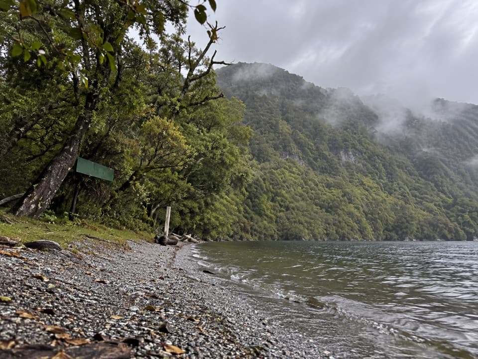
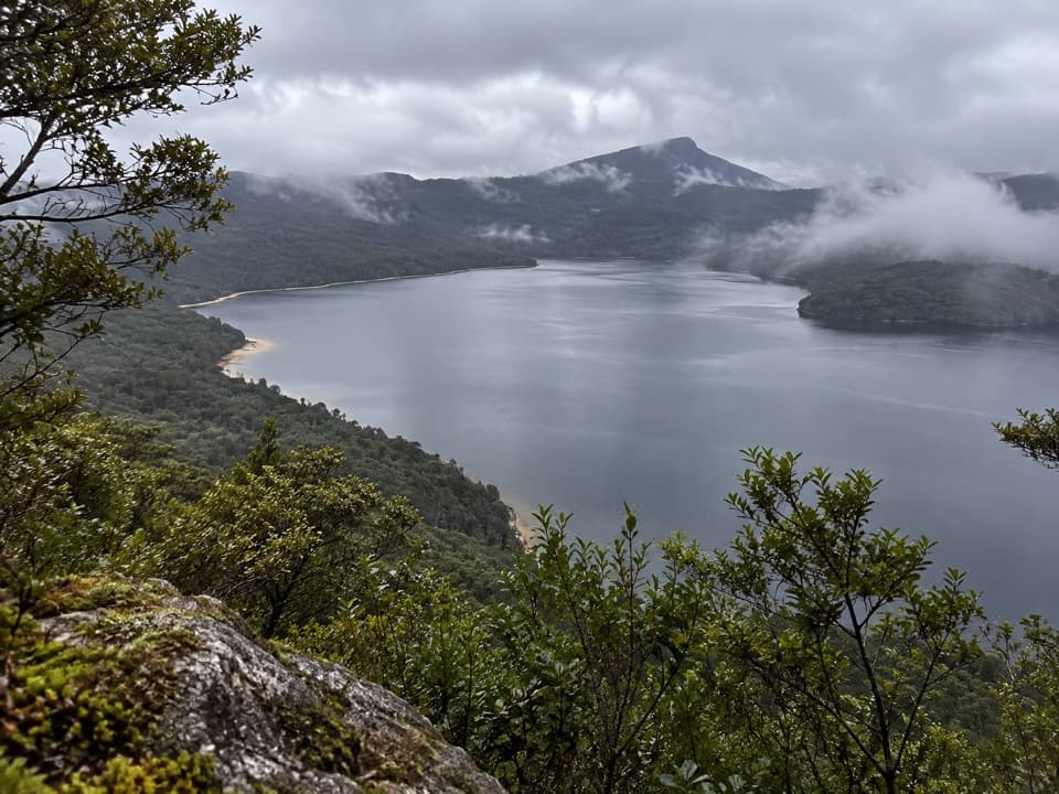
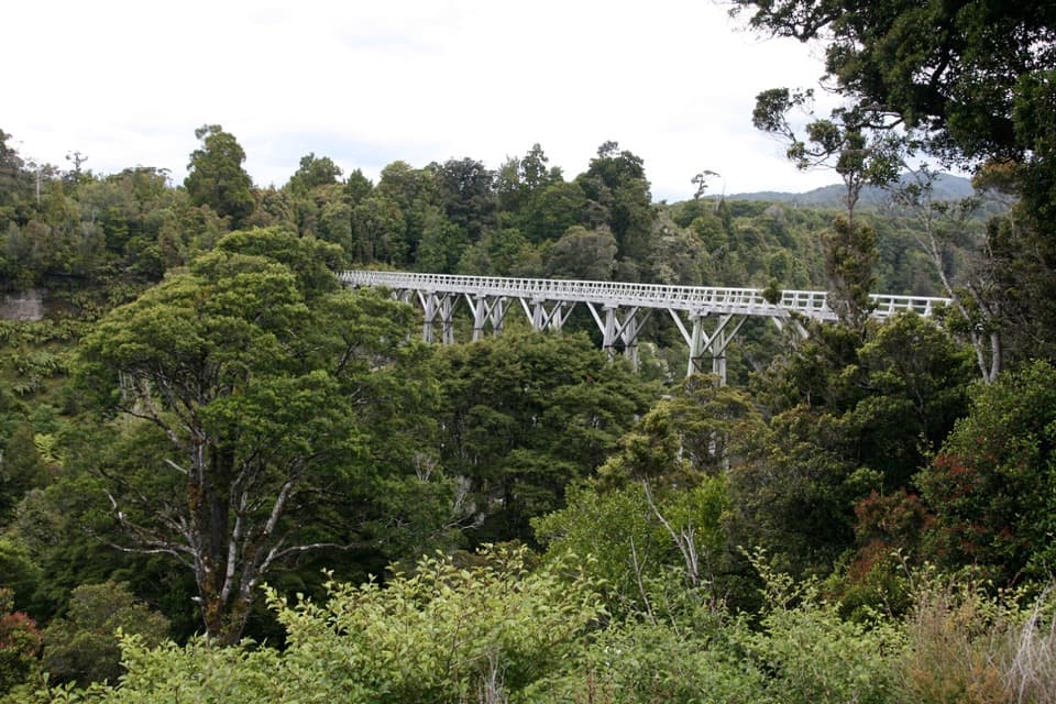
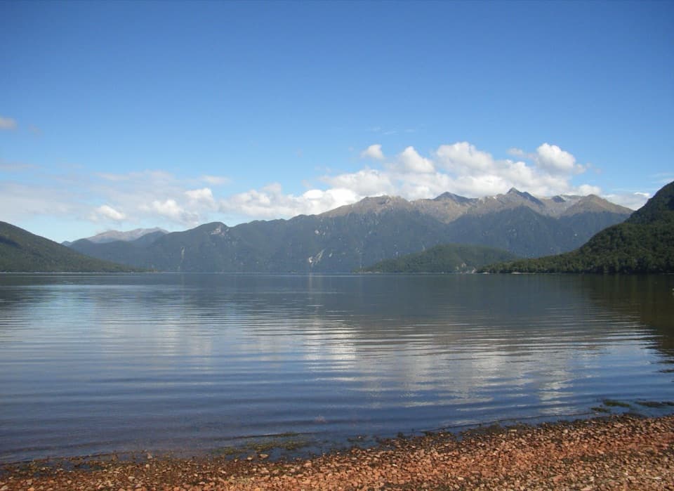
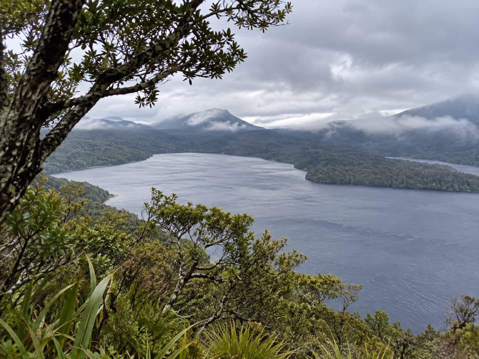
Teal Bay to Lake Poteriteri is a one-way, 14.5 km (9 mi) expert route between two backcountry huts in southern Fiordland. Allow about 10 hours. The track leaves Teal Bay Hut on Lake Hauroko, crosses the Wairaurahiri and Rata Burn on three-wire swingbridges, then continues through lowland forest and over a low ridge to Lake Poteriteri Hut. This is a remote hut-to-hut journey, not a day loop, and there is no simple road pickup at either end.

The river crossingsThe first bridge crosses the Wairaurahiri River.

The first bridge crosses the Wairaurahiri River. From there the route follows the river downstream on its true right bank to a second three-wire bridge at Rata Burn. The final 11 km to Lake Poteriteri Hut has no bridges; streams can rise rapidly after rain. Treat the water crossings as the key go-or-wait decision on this route, and do not assume that a low stream will stay low.

Backcountry skills and hutsThe route is rated expert and calls for above-average fitness and high-level backcountry…

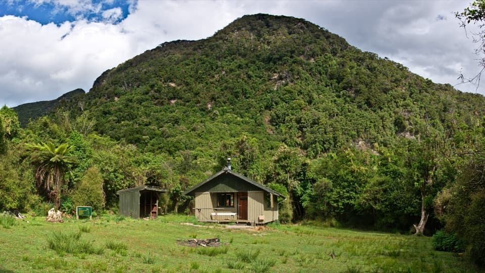
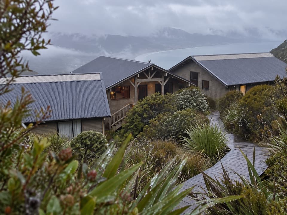
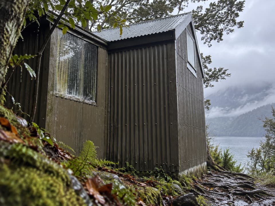
The route is rated expert and calls for above-average fitness and high-level backcountry skills, including navigation and survival. Both ends are standard huts: Teal Bay has 12 bunks and Lake Poteriteri has six. They are first come, first served, with no bookings. Both have basic facilities; water is untreated and should be boiled. Bring food and plan your overnight stops around hut availability. Dogs are not allowed.

Access and logisticsTeal Bay Hut has no road access.

Teal Bay Hut has no road access. The separate Lake Hauroko to Teal Bay Hut route is an approximately nine-hour walking approach; another approach connects from the South Coast Track near Rarakau car park. The Lake Poteriteri finish is also remote. Arrange the access to the start and a complete return plan from the far end before setting out; this line does not include the additional unmarked continuation toward Slaughterburn and Waitutu.

A forest track with a maintenance storyA volunteer project in 2020 cleared about 14 km of this lowland-forest route over five days,…

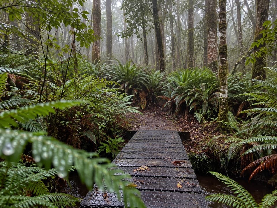
A volunteer project in 2020 cleared about 14 km of this lowland-forest route over five days, crossing a low forested ridge. The crew reported that crown fern had sometimes hidden orange markers before that work. This is useful context for the route’s remote forest character, not a report of current track conditions.

Wildlife

Wildlife in Fiordland

All Fiordland wildlife maps

Sighting maps show where each species has been reported across Fiordland. Wildlife moves, so no sighting is guaranteed.

Parkwolf’s Fiordland ranking

Top-rated trails in Fiordland

All 77 trails
  1. 1Milford TrackChallenging · 53.5 km
  2. 2Routeburn TrackChallenging · 33 km
  3. 3Kepler TrackChallenging · 60 km
  4. 4Routeburn Track: Key Summit TrackModerate · 6.8 km
  5. 5Lake Marian TrackChallenging · 6.2 km
  6. 6Hump Ridge TrackChallenging · 61.5 km

Take Parkwolf to Fiordland.

The audio tour guide for the drive, plus offline maps, trails, and wildlife heatmaps for when the signal drops.

4.7 from 8,600+ ratings

Download Parkwolf on the App StoreGet Parkwolf on Google Play