

Sighting map
Bellbird sightings in Fiordland
Loading the Fiordland map
Full mapFewerMore sightings
Where Bellbird has been reported, from 125 sightings. Not a live tracker: animals move, and an empty area doesn’t mean there are none.
Keep this map with you offline in the Parkwolf appTiming
When to look
| Hour | Share of busiest hour |
|---|---|
| 12 AM | 1% |
| 1 AM | 1% |
| 2 AM | 1% |
| 3 AM | 2% |
| 4 AM | 5% |
| 5 AM | 20% |
| 6 AM | 60% |
| 7 AM | 90% |
| 8 AM | 100% |
| 9 AM | 95% |
| 10 AM | 85% |
| 11 AM | 70% |
| Noon | 60% |
| 1 PM | 55% |
| 2 PM | 60% |
| 3 PM | 70% |
| 4 PM | 80% |
| 5 PM | 85% |
| 6 PM | 75% |
| 7 PM | 40% |
| 8 PM | 15% |
| 9 PM | 5% |
| 10 PM | 2% |
| 11 PM | 1% |
Where to look
Fiordland spots that mention Bellbird
Places and trails whose Parkwolf guides talk about Bellbird. A good start, never a guarantee.
Places
 SightKey Summit Lookout360-degree alpine views and tarns via a short Routeburn side trip
 SightLake ManapouriIsland-dotted, tranquil lake and the gateway to Doubtful Sound
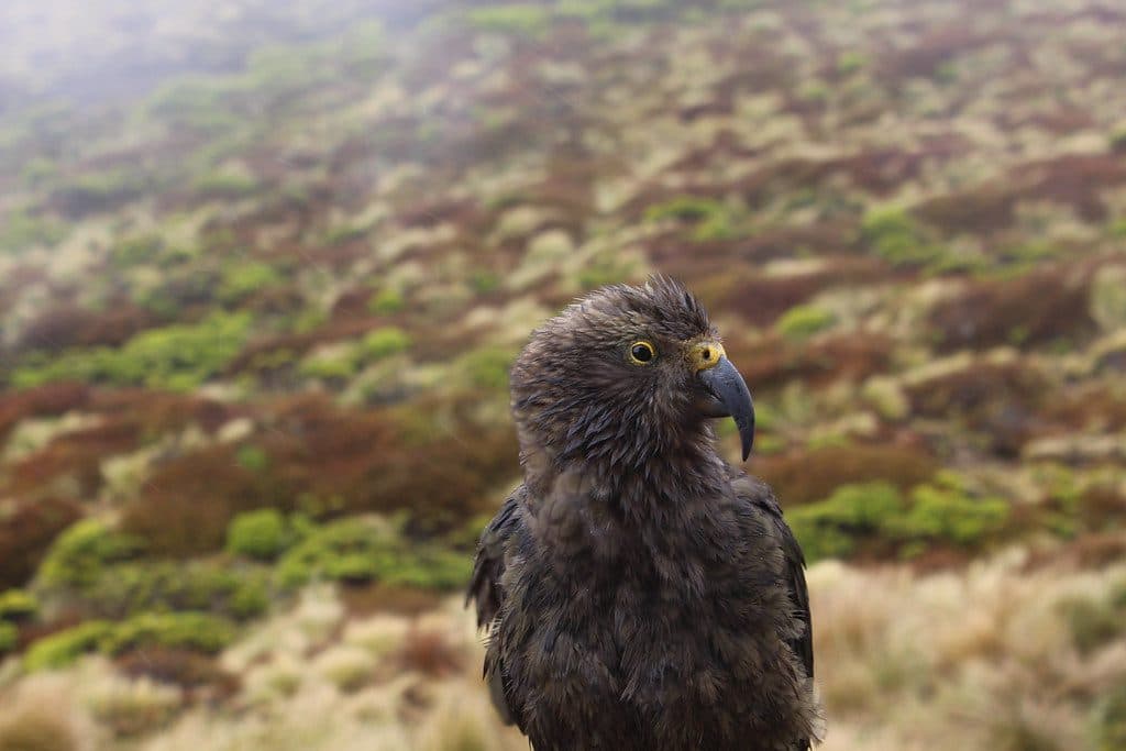 LodgingLuxmore HutBig alpine hut with knockout views and a nearby cave
 SightEarland Falls174 m Routeburn waterfall that drenches the track after rain
 TrailheadThe DivideBusy gateway to Routeburn and Key Summit with shelter and toilets
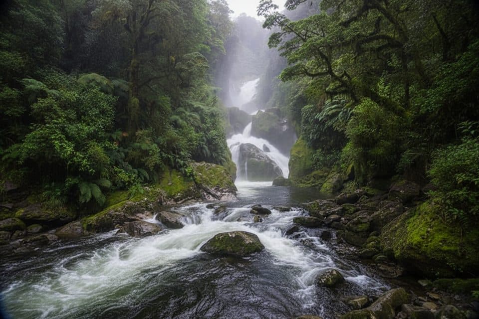 SightMackay FallsLush rainforest cascades with Bell Rock on the Milford Track
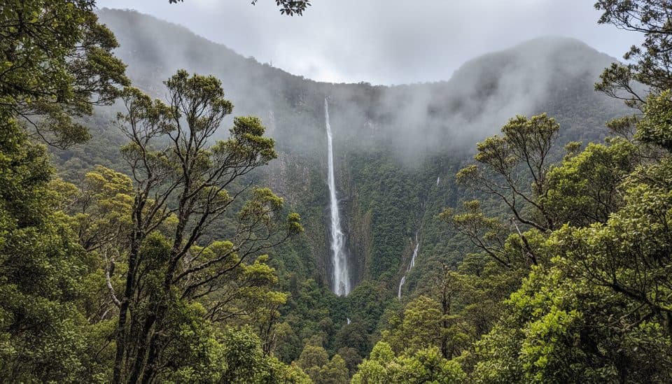 SightHumboldt FallsShort rainforest walk to a towering three-tiered 275 m waterfall
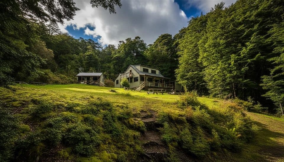 LodgingMoturau HutLakeside Great Walk hut with sunsets, beach, and gas cookers
Trails
 ChallengingLuxmore Summit Track33.5 km · 9 hrClimb through beech forest to Mt Luxmore's high alpine views.
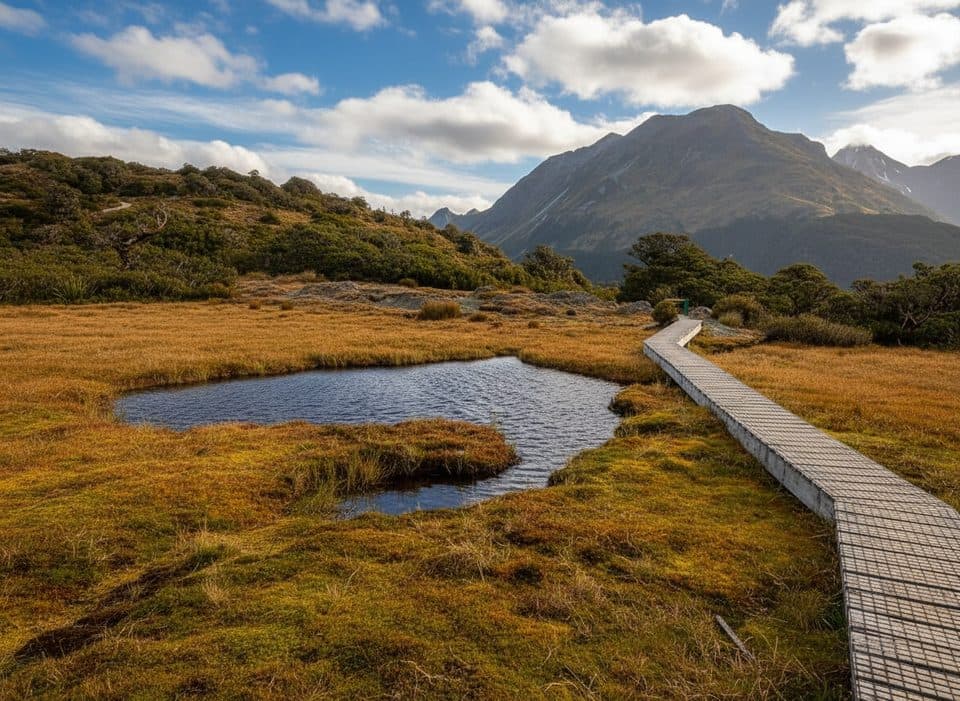 ModerateKey Summit Track6.9 km · 3 hrA short alpine climb to tarns and Fiordland-wide views
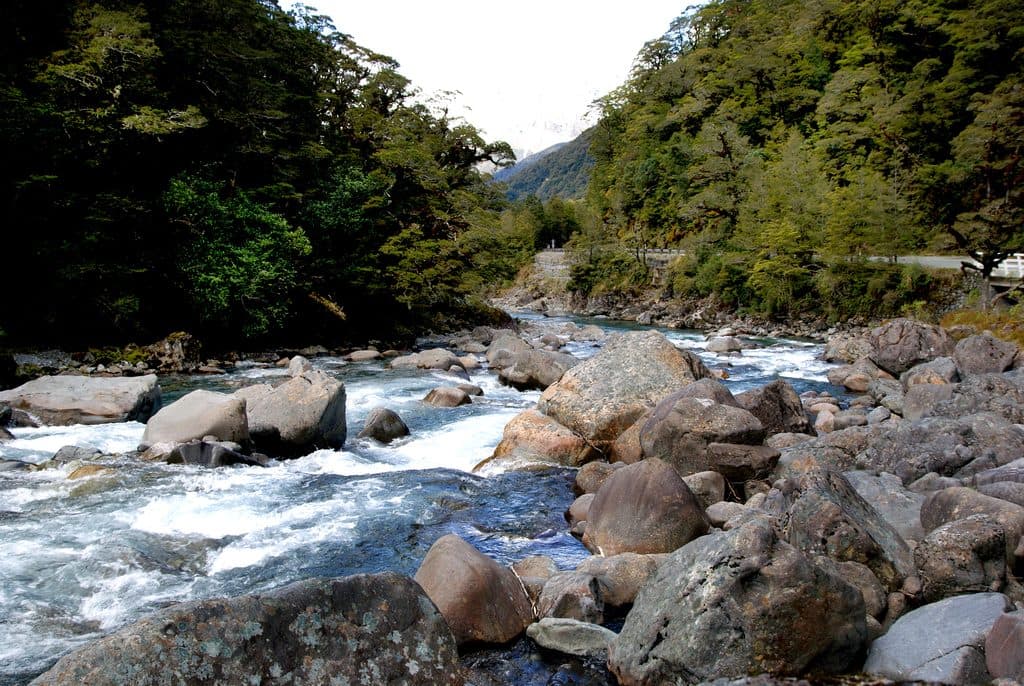 ChallengingHollyford Track56.3 km · 22 hrA remote mountains-to-sea tramp from Lower Hollyford Road to Martins Bay.
 ModerateRouteburn Track to Earland Falls13.4 km · 6 hrA full-day walk to Fiordland's 174 m waterfall
 ChallengingCircle Track6.9 km · 3.5 hrAdvanced 6.9 km loop to a Lake Manapouri lookout in Fiordland
 ChallengingHauroko Burn Track18.8 km · 9 hrA remote, boat-accessed Dusky Track leg from Hauroko Burn to Lake Roe
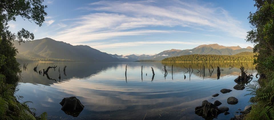 EasyLake Monowai Lookout Track2.4 km · 45 minShort beech-forest walk to a Lake Monowai viewpoint
 EasyLake Mistletoe Track1.8 km · 45 minA quiet beech-forest loop to a small lake beside Milford Road
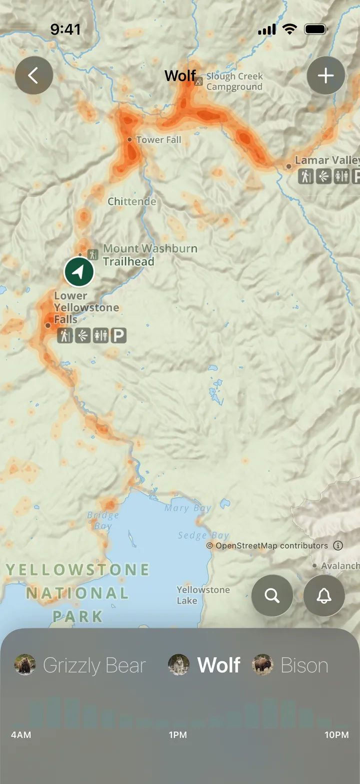
Find Wildlife in Parkwolf
Every sighting map, in your pocket.
- 16 sighting mapsfor Fiordland, on the same park map as your route
- Works offlineout where the animals are and the signal isn’t
- 126 audio storiesplay as you drive Fiordland, wildlife included


Wildlife
More wildlife in Fiordland
 1,181 sightingsKeaNestor notabilisMost seen 9 AM–1 PM & 2–6 PMSighting map
 199 sightingsFiordland PenguinEudyptes pachyrhynchusMost seen 6 AM & 6–8 PMSighting map
 228 sightingsBlue DuckHymenolaimus malacorhynchosMost seen 7–9 AM & 4–7 PMSighting map
 32 sightingsBottlenose DolphinTursiops truncatusMost seen 8 AM–12 PM & 3–7 PMSighting map
 247 sightingsNew Zealand Fur SealArctocephalus forsteriMost seen 5–8 PMSighting map
 58 sightingsKākāNestor meridionalisMost seen 7 AM & 5–7 PMSighting map
 495 sightingsWekaGallirallus australisMost seen 8 AM–4 PMSighting map
 30 sightingsYellowheadMohoua ochrocephalaMost seen 8–11 AM & 4–6 PMSighting map