Parking
North end: Skookumchuck and U.S. 3. South end: Flume Visitor Center. For the full point-to-point route, arrange transport between the ends; parking capacity and fees were not established.

Franconia Notch State Park, NH
An 8.8-mile path linking Franconia Notch’s lakes and landmarks.
Overview
Map & elevation
Plan your hike

The highest, rockiest slopes around here are a summer buffet for grizzly bears.
Franconia Notch Tour Guide
Parkwolf is a GPS audio tour guide for Franconia Notch State Park. As you drive, it chimes in with what’s ahead: hidden gems, upcoming stops, history, geology, and wildlife, right through your car’s speakers.
See the Franconia Notch audio tourRecorded for this area
A Parkway by Compromise“Franconia Notch Parkway has stretches with just one lane in each direction, an unusual design for an interstate. That was a deliberate compromise.”
Plays on the road 1.2 mi from the trailhead in the Parkwolf Franconia Notch Tour Guide.
More stories near here in the app
“Fantastic app with many points of information… It’s great to just turn on while you’re driving and it gives you an audio tour of the national Park. We love it!!!!”


Trail guide
Franconia Notch Recreation Path is an 8.8-mile, one-way paved shared-use route from Skookumchuck and U.S. 3 at the north end to the Flume Visitor Center at the south. It follows the valley mostly apart from the parkway and links several of the notch’s best-known stops. The full walk is a long outing, not a quick stroll; you’ll need a return plan between the ends. I’d allow about 5½ hours on foot before spending time at the attractions. That’s a practical estimate from the distance and hills, since there isn’t a dependable walking time for the full route.
This is asphalt, but it isn’t a flat rail trail. The route guide describes about 800 feet of elevation gain from south to north, and several hills interrupt the long valley traverse. In the north-to-south direction described here, the overall elevation trends down, though there are still climbs. People on foot share the path with cyclists, with more traffic around the popular stops. Keep right and use the marked walk-bike areas; the path and bridges can be slippery when wet. Visitors also report some bumpy pavement where roots have lifted it.
From Skookumchuck, the path reaches Lafayette Brook Bridge and a scenic opening toward the mountains, then follows Echo Lake before passing the Cannon Mountain Tramway area. It continues by Profile Lake and the Old Man of the Mountain site, then Lafayette Campground, the Basin viewing area and Whitehouse Bridge before ending at the Flume. The named attractions are side visits off the path: the Flume’s marked walking circuit, for example, adds its own time and is not part of the 8.8 miles.
The Basin is a deep granite pothole shaped by glacial water more than 15,000 years ago. Near the south end, the Flume is a separate 800-foot gorge with steep Conway granite walls. Profile Lake sits below the former Old Man of the Mountain, a five-block granite face about 40 feet high that collapsed overnight on May 2–3, 2003. The memorial plaza on the lake’s shore lets you see a reconstruction of the profile. The lake is also the headwaters of the Pemigewasset River and is known for brook trout and fly-fishing.
If you don’t want the full point-to-point day, the Echo Lake–Profile Lake stretch is the gentler part and still gives you two lake views. The paved surface can look accessible, but steep grades make the whole route challenging for many wheelchair and stroller users; don’t assume the full length is accessible. Dogs are allowed on leash. Developed stops along the route have restrooms and picnic areas; Echo Lake Beach also has a small store and seasonal boat rentals. Attractions and services can have their own hours and fees.
Wildlife
 66 sightingsBlack BearMost seen around 7 PMSighting map
 38 sightingsMooseMost seen around 6 AMSighting map
 19 sightingsWild TurkeyMost seen around 6 AMSighting map
 19 sightingsGreat Blue HeronMost seen around 5 PMSighting map
 13 sightingsTurkey VultureMost seen around noonSighting map
 23 sightingsRavenMost seen around 11 AMSighting map
Sighting maps show where each species has been reported across Franconia Notch. Wildlife moves, so no sighting is guaranteed.
Keep exploring
 ChallengingMount Lafayette via Skookumchuck Trail10.2 mi · 8.5 hr · At the trailheadA full-day climb to Lafayette’s quieter north ridge.
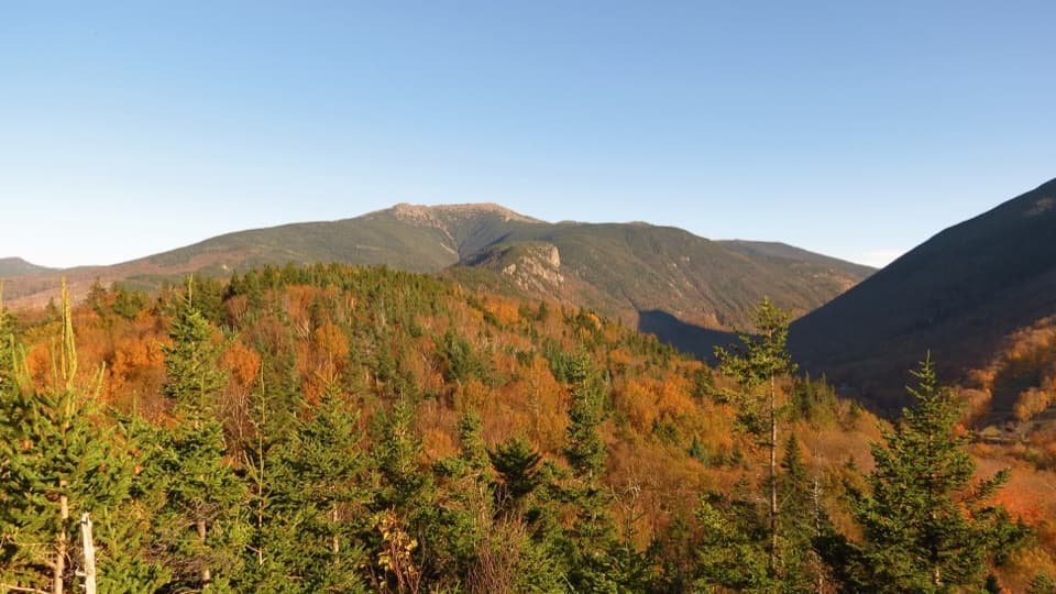 ModerateArtists Bluff and Bald Mountain Loop1.3 mi · 1.3 hr · 1.9 mi awayEcho Lake below, big peaks ahead, in a short two-viewpoint loop.
 ModerateBald Mountain Trail0.7 mi · 30 min · 1.9 mi awayA short scramble to open rock and Franconia Notch views.
 ChallengingMount Lafayette via Greenleaf Trail6.6 mi · 6.5 hr · 2.3 mi awayEagle Pass, Greenleaf Hut, and a hard climb to Lafayette.
 ChallengingCannon Mountain via Kinsman Ridge Trail4.1 mi · 3.5 hr · 2.4 mi awayA hard climb earns a clear view across Franconia Ridge.
 ChallengingKinsman Ridge Trail15.8 mi · 12 hr · 2.4 mi awayA full day across Cannon, the Cannon Balls, and both Kinsmans.
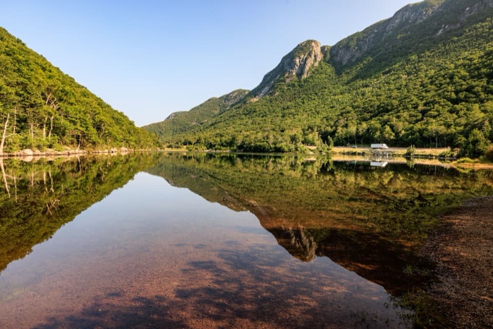 EasyProfile Lake via Pemi Trail1.3 mi · 45 min · 2.5 mi awayA short, rocky shore walk below Eagle Cliff
 EasyPemi Trail4 mi · 2.5 hr · 2.5 mi awayA rough river trail connects Profile Lake with The Basin.
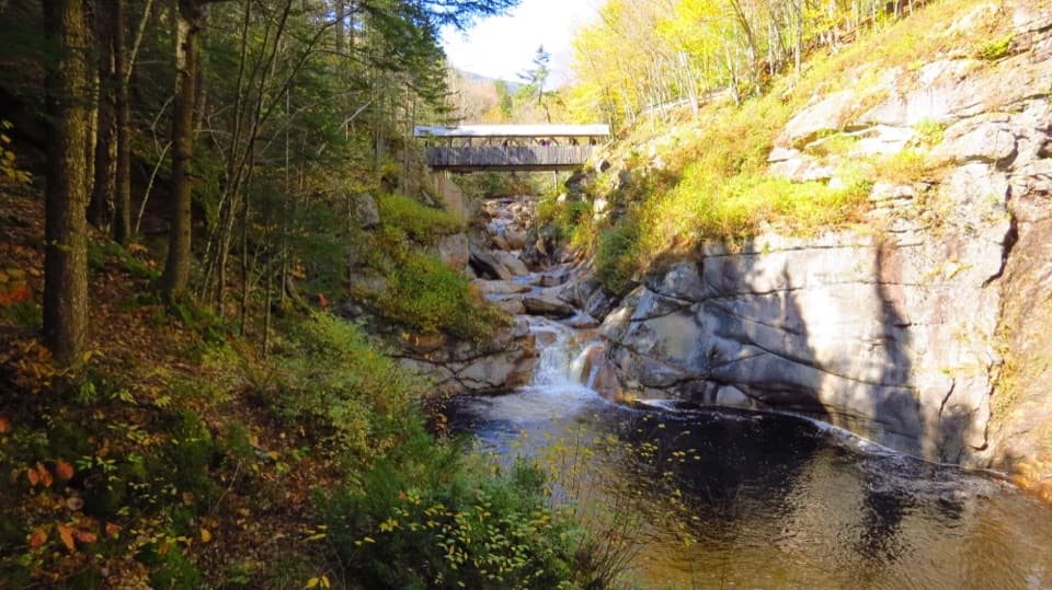
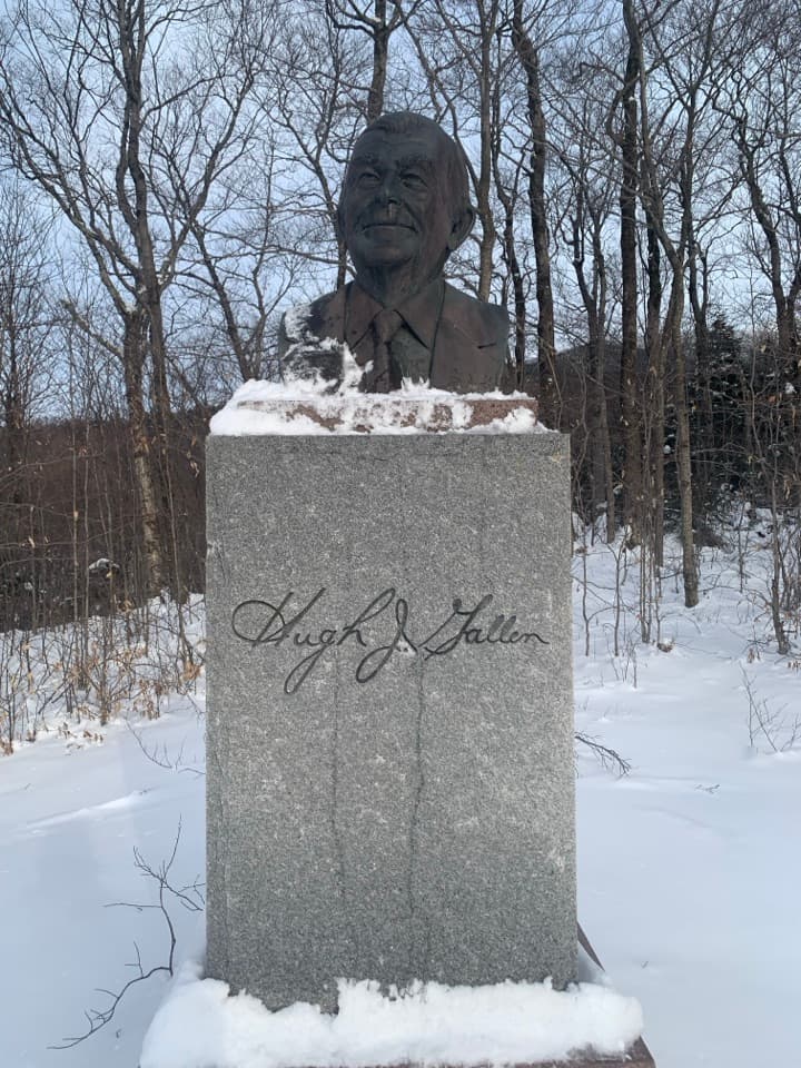 Sight · 1.4 mi awayGovernor Gallen MemorialA governor’s memorial, a brookside bridge, and Mount Lafayette beyond.
 Sight · 1.7 mi awayArtists BluffA short, steep climb buys the Notch's best Echo Lake panorama.
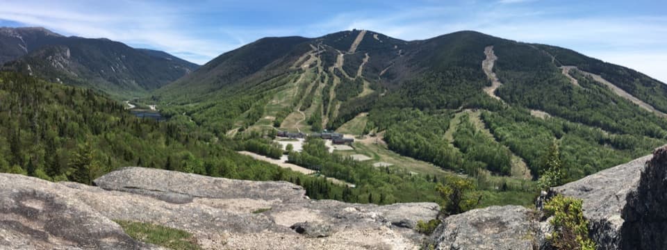 Sight · 1.8 mi awayBald MountainFranconia Notch and Cannon's ski runs spread beneath granite ledges.
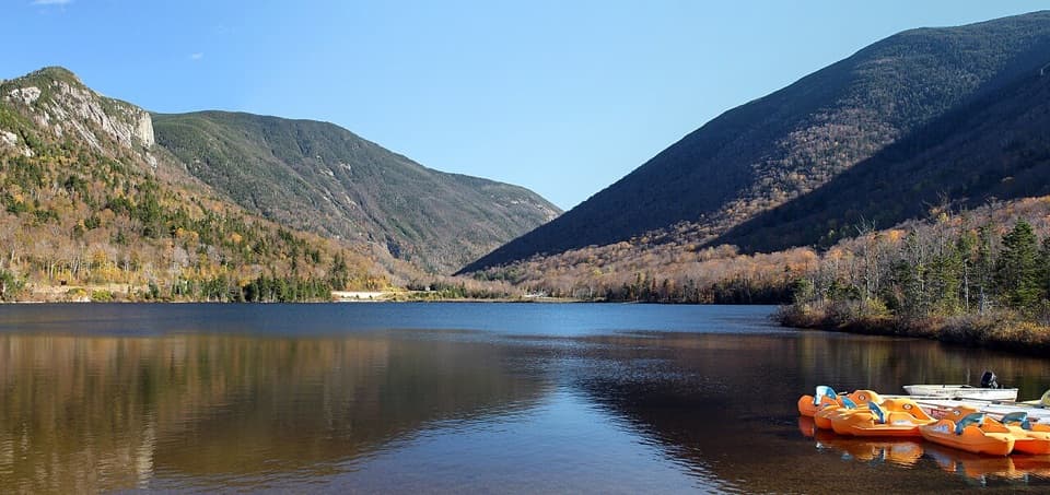 Beach · 1.9 mi awayEcho Lake BeachA mountain-framed swim beach with kayaks at the water’s edge.
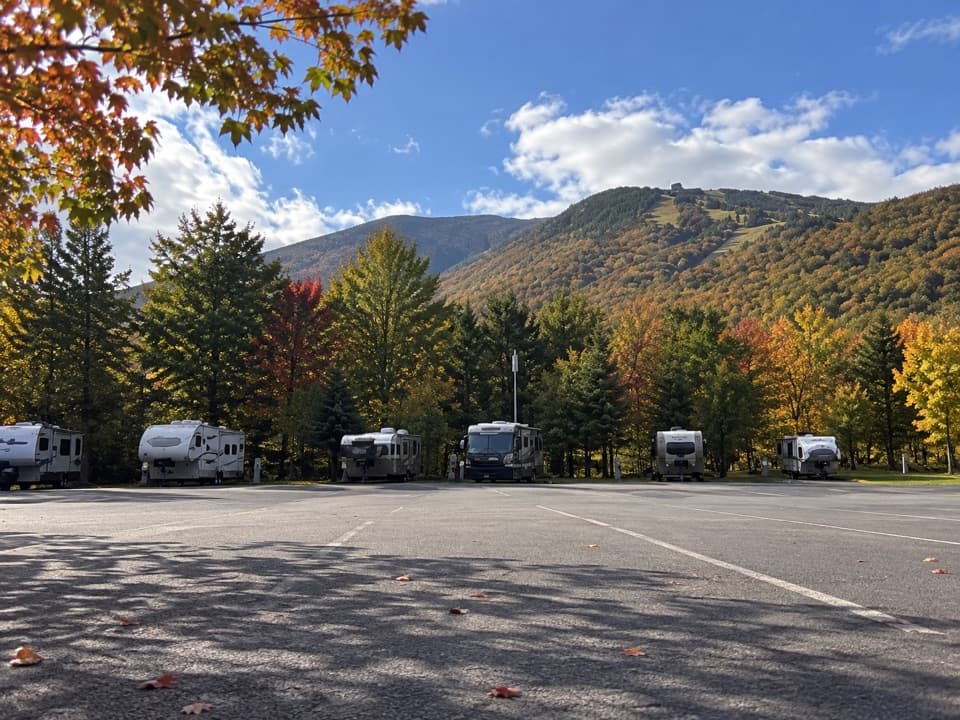 Campground · 1.9 mi awayCannon Mountain RV ParkSeven RV sites beside Echo Lake Beach, close to Franconia Notch.Sight · 2.1 mi awayCannon Mountain Ski AreaA steep, old-school hill that puts skiing ahead of frills.
 Restaurant · 2.1 mi awayCannonball PubPub food and a deck view of Cannon's ski runs.
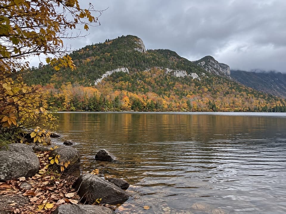 Sight · 2.2 mi awayEcho Lake Boat LaunchA public put-in for your own boat on Echo Lake.
Parkwolf’s Franconia Notch ranking

The audio tour guide for the drive, plus offline maps, trails, and wildlife heatmaps for when the signal drops.