Parking
Start at the Lonesome Lake Trailhead in Lafayette Place Campground; parking is on both sides of the entrance and fills quickly. The Falling Waters/Old Bridle Path lot across I-93 connects to the campground by an underpass.

Franconia Notch State Park, NH
A steep Cannon climb with a ladder and a Lonesome Lake finish.
Overview
Map & elevation
Plan your hike

The highest, rockiest slopes around here are a summer buffet for grizzly bears.
Franconia Notch Tour Guide
Parkwolf is a GPS audio tour guide for Franconia Notch State Park. As you drive, it chimes in with what’s ahead: hidden gems, upcoming stops, history, geology, and wildlife, right through your car’s speakers.
See the Franconia Notch audio tourRecorded for this trailhead
Lonesome Lake and Its Shoreline Loop“Lafayette Place is coming up, the starting point for a hike to Lonesome Lake, with Franconia Ridge across the water.”
Plays as you drive up to this trailhead in the Parkwolf Franconia Notch Tour Guide.
More stories near here in the app
“Fantastic app with many points of information… It’s great to just turn on while you’re driving and it gives you an audio tour of the national Park. We love it!!!!”


Trail guide
Hi-Cannon is a strenuous summit loop from the Lonesome Lake Trailhead at Lafayette Place. Follow Lonesome Lake Trail to the Hi-Cannon junction, climb to Kinsman Ridge and Cannon Mountain, then return by Kinsman Ridge and Lonesome Lake Trail. The mapped core is 4.7 miles round trip; allow about five hours. The optional full walk around Lonesome Lake adds distance and turns this into the longer outing commonly rounded to about six miles. Choose it for a hard half-day with varied terrain and a lake payoff; skip it if steep, slippery rock or a ladder section is not for you.
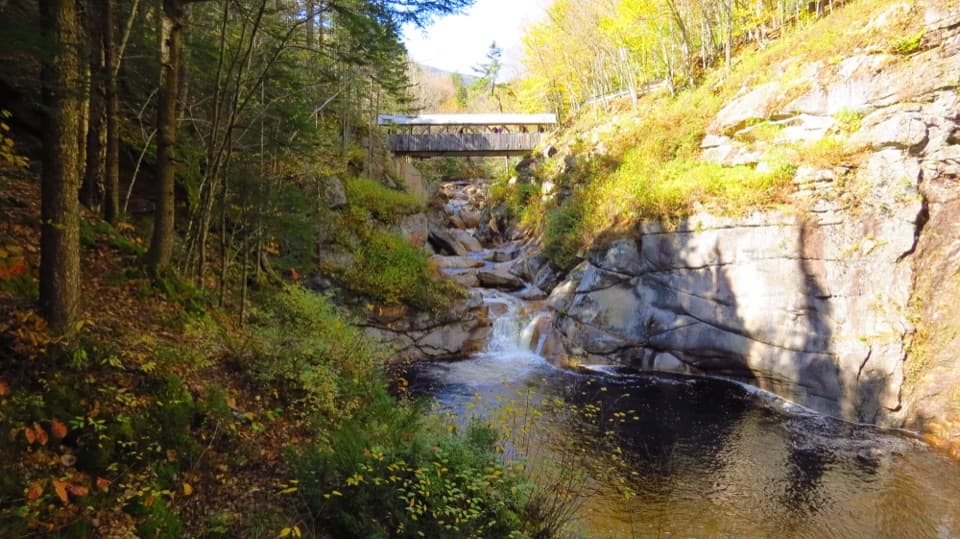
The lower approach is a short walk through the campground before Hi-Cannon turns steep. Creeks and small waterfalls accompany the climb, and openings give you views over Lonesome Lake and the Notch. Blue blazes painted on rocks are weather worn and can be hard to spot. Near the ridge, the trail gets especially steep over boulders and creekbed, with a ladder at Cliff House rock. Wet rock can be slippery after rain, so take your time through the upper section.
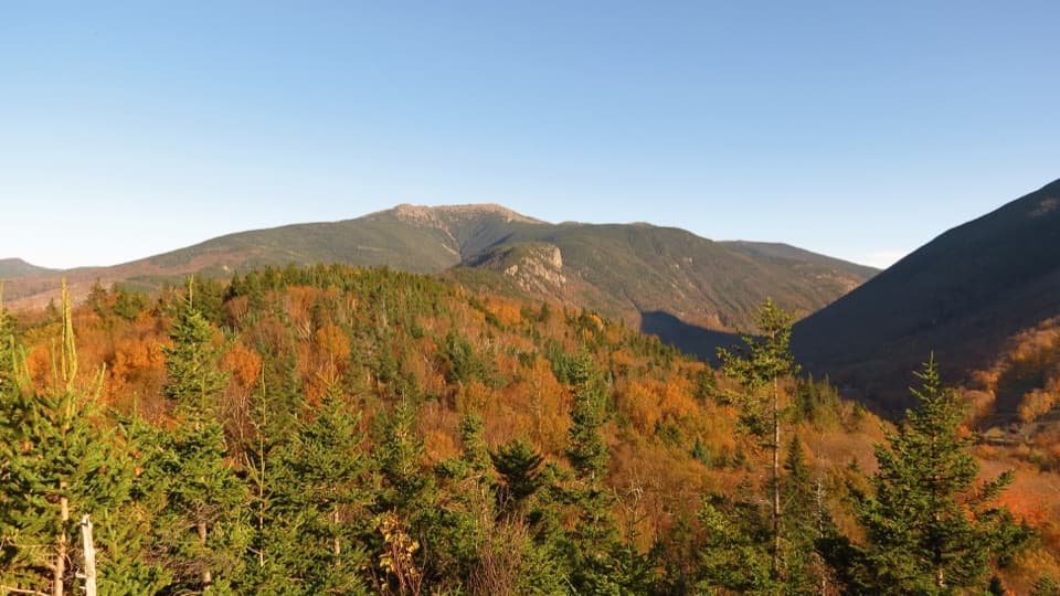
From the Hi-Cannon junction, follow Kinsman Ridge about 0.4 mile to Cannon’s summit, then retrace that short spur and continue on Kinsman Ridge toward Lonesome Lake. The summit ridge opens east over the Notch. The return follows a creek for much of the way down; it is still steep, though a little less so than Hi-Cannon.
The main return passes Lonesome Lake. A mostly flat plank path circles the water; it can be wet underfoot and is an optional extra. The AMC Lonesome Lake Hut is on the route and, when operating, has food, restrooms and water refills. For a photo, face Cannon across the lake and keep some shoreline rock in the foreground.
Begin at the Lonesome Lake Trailhead in Lafayette Place Campground. The campground has parking on both sides of its entrance, and it fills quickly. The Falling Waters/Old Bridle Path lot across I-93 connects through an underpass. Pets are not permitted on this route from the campground access.
Wildlife
 66 sightingsBlack BearMost seen around 7 PMSighting map
 38 sightingsMooseMost seen around 6 AMSighting map
 19 sightingsWild TurkeyMost seen around 6 AMSighting map
 19 sightingsGreat Blue HeronMost seen around 5 PMSighting map
 13 sightingsTurkey VultureMost seen around noonSighting map
 23 sightingsRavenMost seen around 11 AMSighting map
Sighting maps show where each species has been reported across Franconia Notch. Wildlife moves, so no sighting is guaranteed.
Keep exploring
 ModerateLonesome Lake Trail3 mi · 2.5 hr · At the trailheadA climb to a glacial lake with Franconia Ridge across the water.
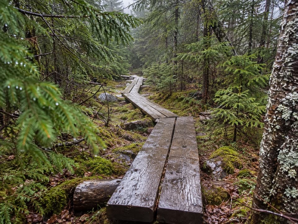 ChallengingNorth and South Kinsman via Fishin’ Jimmy Trail9.8 mi · 9 hr · 0.1 mi awayA long, rough climb links two Kinsman summits above Franconia Notch.
 ChallengingOld Bridle Path to Greenleaf Hut5.8 mi · 6 hr · 0.2 mi awayA steep hut climb with two open ledges and Franconia Notch views.
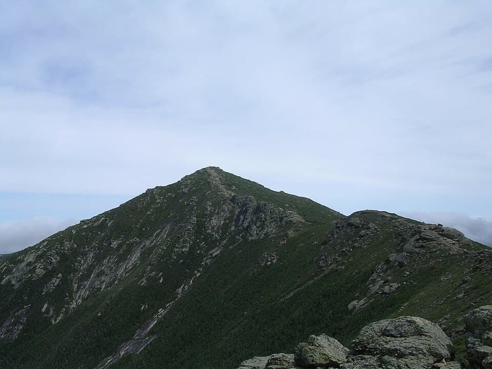 ChallengingFranconia Ridge Trail Loop8.1 mi · 8.5 hr · 0.3 mi awayA full-day loop over three exposed summits above Franconia Notch.
 ChallengingFalling Waters Trail5.9 mi · 5.5 hr · 0.3 mi awayWaterfalls up front; Little Haystack is the hard part.
 ChallengingFishin’ Jimmy Trail1.8 mi · 1.6 hr · 1 mi awayLadders, slick ledges and a pond-side shelter make this AT leg count.
 ModerateKinsman Pond Trail2.2 mi · 2 hr · 1.3 mi awayA rough, wet climb to a high pond and backcountry shelter
 EasyCannon Mountain Rim Trail Loop0.4 mi · 45 min · 1.3 mi awayA short summit loop with Franconia Notch views and exposed ledges.
 Campground · 0.1 mi awayLafayette Place CampgroundA wooded base camp for hiking, biking, fishing and swimming.
 Sight · 0.8 mi awayBoise RockA glacial erratic paired with a wintry survival legend.Sight · 0.9 mi awayLonesome LakeFranconia Ridge across a small alpine lake, after a 1,000-foot climb.
 Lodging · 1 mi awayLonesome Lake HutA hike-in hut with bunks, hot soup, and a lakeside dock.
 Sight · 1 mi awayCloudland FallsAn 80-foot fan of water is the payoff on an uphill hike.
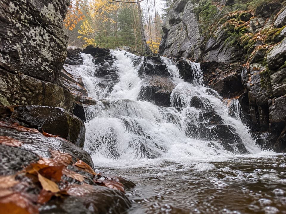 Sight · 1.2 mi awayRocky Glen FallsA stepped gorge waterfall worth the uphill finish.
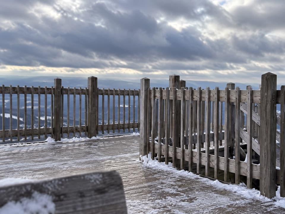 Sight · 1.2 mi awayCannon Mountain Observation TowerOn clear days, four states and Canada spread out from the summit.
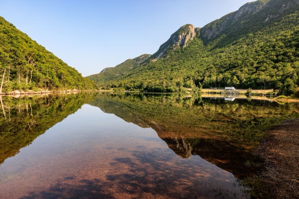 Sight · 1.4 mi awayProfile LakeA fly-fishing lake beneath the vanished Old Man profile.
Parkwolf’s Franconia Notch ranking

The audio tour guide for the drive, plus offline maps, trails, and wildlife heatmaps for when the signal drops.