Parking
Use Skookumchuck Trailhead Parking on NH Route 3 just north of I-93 Exit 35, at the north end of Franconia Notch Recreation Path. The large lot also serves bike-path visitors. There is no restroom or potable water at the trailhead.

Franconia Notch State Park, NH
A full-day climb to Lafayette’s quieter north ridge.
Overview
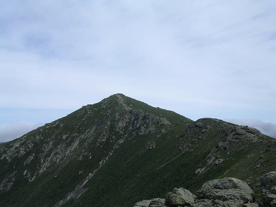
At Garfield Ridge, turn south toward Lafayette. The character changes quickly: the route crosses slabs and boulders, with small cairns marking the alpine footpath. The open ridge gives you long views over the Pemigewasset Wilderness and across Franconia Notch toward Cannon and the Kinsman range. The summit is a broad, rocky high point rather than a lookout platform; on a clear day the horizon keeps going in every direction. For a photo, leave some of the rough path and rock in the foreground so the frame shows both the walking and the scale of the ridge.
 Parkwolf’s verdictThe ridge is the payoff
Map & elevation
Plan your hike

The highest, rockiest slopes around here are a summer buffet for grizzly bears.
Franconia Notch Tour Guide
Parkwolf is a GPS audio tour guide for Franconia Notch State Park. As you drive, it chimes in with what’s ahead: hidden gems, upcoming stops, history, geology, and wildlife, right through your car’s speakers.
See the Franconia Notch audio tourRecorded for this area
A Parkway by Compromise“Franconia Notch Parkway has stretches with just one lane in each direction, an unusual design for an interstate. That was a deliberate compromise.”
Plays on the road 1.2 mi from the trailhead in the Parkwolf Franconia Notch Tour Guide.
More stories near here in the app
“Fantastic app with many points of information… It’s great to just turn on while you’re driving and it gives you an audio tour of the national Park. We love it!!!!”


Trail guide
Mount Lafayette via Skookumchuck Trail is a 10.2-mile out-and-back from the Skookumchuck Trailhead off NH Route 3. It climbs through forest to Garfield Ridge, then crosses rough, exposed alpine ground to Lafayette’s summit before retracing the same route. The mapped line works out to about 9.3 miles round trip, while route descriptions range from 9.6 to 10.2; this guide uses the longer, full-summit estimate. Plan for a full day: allow about eight to ten hours for the climb, rough footing and time to take in the views. It is a quieter north-side approach to the ridge, not a quick summit walk.
The trail starts in the trees and climbs at a mostly steady, manageable grade at first. After roughly a mile it reaches Skookumchuck Brook; the path follows the wooded stream before steeper pitches take over. Stone steps break up the ascent around 1.8 and 2.5 miles, with shorter easier stretches between them. You move through birch and then denser spruce and scrub. The forest keeps the first part sheltered, but it also means the big views arrive late. The upper trail narrows through brush before climbing onto the open shoulder of Lafayette.
The summit is only half the day. Retrace the same ridge and wooded climb, and at the junction leave Garfield Ridge for Skookumchuck back to Route 3. It is easy to keep following the ridge if you miss that turn, so check the junction instead of assuming the broad trail continues toward the car. If you want to skip the summit spur, turning around at Garfield Ridge makes a shorter hike of about 8.6 miles round trip.
Use the Skookumchuck parking area at the northern end of Franconia Notch Recreation Path, just north of I-93 Exit 35. The large lot serves both trail and bike-path visitors. There is no restroom or potable water at the trailhead, and no dependable refill is established for the whole hike, so carry what you need. The route is steep and rocky, and its upper section is exposed: wind and cold can bite above treeline, and thunderstorms make the ridge a poor place to be. Cairns are important when visibility drops. Dogs are allowed in the forest; leash them in the parking area and on developed trail, and keeping them leashed throughout avoids guessing where those rules change.
Wildlife
 66 sightingsBlack BearMost seen around 7 PMSighting map
 38 sightingsMooseMost seen around 6 AMSighting map
 19 sightingsWild TurkeyMost seen around 6 AMSighting map
 19 sightingsGreat Blue HeronMost seen around 5 PMSighting map
 13 sightingsTurkey VultureMost seen around noonSighting map
 23 sightingsRavenMost seen around 11 AMSighting map
Sighting maps show where each species has been reported across Franconia Notch. Wildlife moves, so no sighting is guaranteed.
Keep exploring
 ModerateFranconia Notch Recreation Path8.8 mi · 5.5 hr · At the trailheadAn 8.8-mile path linking Franconia Notch’s lakes and landmarks.
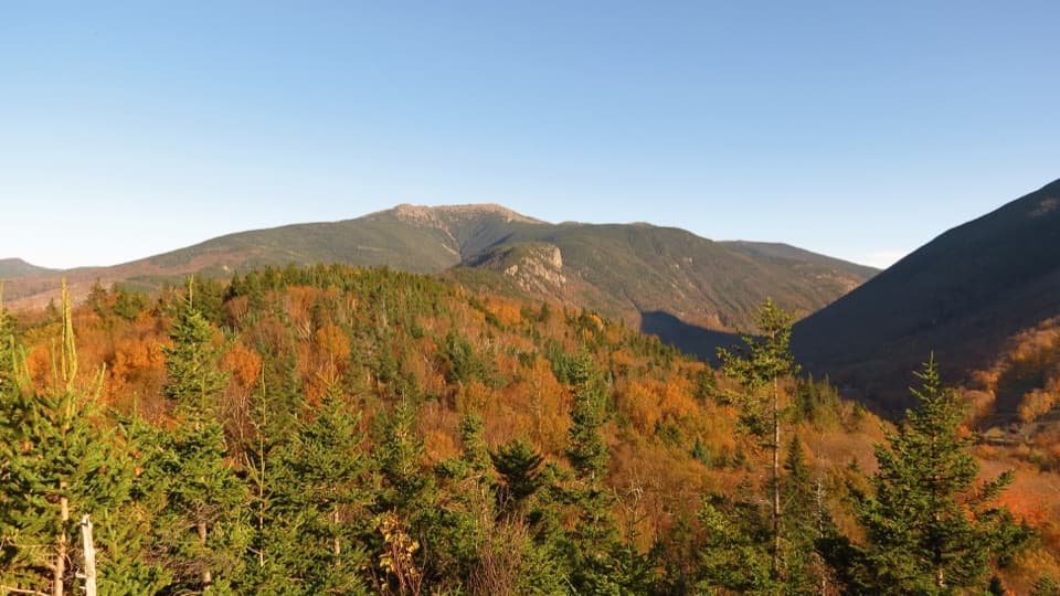 ModerateArtists Bluff and Bald Mountain Loop1.3 mi · 1.3 hr · 1.9 mi awayEcho Lake below, big peaks ahead, in a short two-viewpoint loop.
 ModerateBald Mountain Trail0.7 mi · 30 min · 1.9 mi awayA short scramble to open rock and Franconia Notch views.
 ChallengingMount Lafayette via Greenleaf Trail6.6 mi · 6.5 hr · 2.3 mi awayEagle Pass, Greenleaf Hut, and a hard climb to Lafayette.
 ChallengingCannon Mountain via Kinsman Ridge Trail4.1 mi · 3.5 hr · 2.4 mi awayA hard climb earns a clear view across Franconia Ridge.
 ChallengingKinsman Ridge Trail15.8 mi · 12 hr · 2.4 mi awayA full day across Cannon, the Cannon Balls, and both Kinsmans.
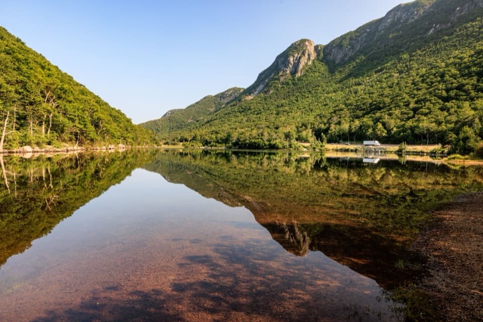 EasyProfile Lake via Pemi Trail1.3 mi · 45 min · 2.5 mi awayA short, rocky shore walk below Eagle Cliff
 EasyPemi Trail4 mi · 2.5 hr · 2.5 mi awayA rough river trail connects Profile Lake with The Basin.
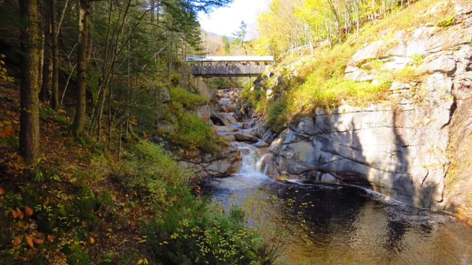
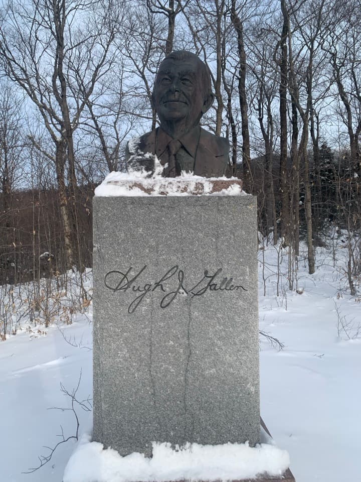 Sight · 1.4 mi awayGovernor Gallen MemorialA governor’s memorial, a brookside bridge, and Mount Lafayette beyond.
 Sight · 1.7 mi awayArtists BluffA short, steep climb buys the Notch's best Echo Lake panorama.
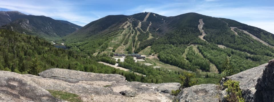 Sight · 1.8 mi awayBald MountainFranconia Notch and Cannon's ski runs spread beneath granite ledges.
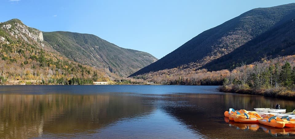 Beach · 1.9 mi awayEcho Lake BeachA mountain-framed swim beach with kayaks at the water’s edge.
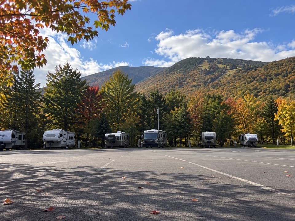 Campground · 1.9 mi awayCannon Mountain RV ParkSeven RV sites beside Echo Lake Beach, close to Franconia Notch.Sight · 2.1 mi awayCannon Mountain Ski AreaA steep, old-school hill that puts skiing ahead of frills.
 Restaurant · 2.1 mi awayCannonball PubPub food and a deck view of Cannon's ski runs.
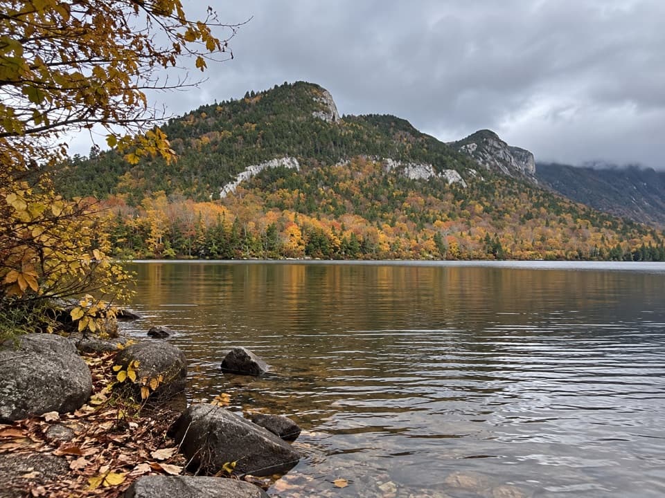 Sight · 2.2 mi awayEcho Lake Boat LaunchA public put-in for your own boat on Echo Lake.
Parkwolf’s Franconia Notch ranking
The audio tour guide for the drive, plus offline maps, trails, and wildlife heatmaps for when the signal drops.