Parking
Use the South Shore Trailhead on the east shore of Two Medicine Lake, reached from the Two Medicine Lake parking area off Two Medicine Road.

Glacier National Park, MT
Waterfalls and beaver ponds lead to a high alpine lake.
Overview
Map & elevation
Plan your hike

The highest, rockiest slopes around here are a summer buffet for grizzly bears.
Glacier Tour Guide
Parkwolf is a GPS audio tour guide for Glacier National Park. As you drive, it chimes in with what’s ahead: hidden gems, upcoming stops, history, geology, and wildlife, right through your car’s speakers.
See the Glacier audio tourRecorded for this trailhead
Two Medicine Lake and South Shore“Two Medicine Lake is ahead, with Sinopah Mountain rising across the water. You can enjoy that view from the developed shore without taking on a big hike, so I’d stop here even for a short visit.”
Plays as you drive up to this trailhead in the Parkwolf Glacier Tour Guide.
More stories near here in the app
“Our first time to glacier and we used the audio portion for Going to the Sun Road. Wonderful information with perfect advice of what to see and do along the road.”


Trail guide
Cobalt Lake Trail is an out-and-back from the South Shore Trailhead on Two Medicine Lake to a high basin below Chief Lodgepole Peak. The listed 5.8 miles is one way, so plan on 11.6 miles round trip, about seven hours, and roughly 1,400 feet of climbing. The lower route is a steady approach; the hardest climbing comes after Rockwell Falls. Choose it when you have a full day and want the lake, not just a quick walk by Two Medicine Lake.
The trail first follows the east shore, with a short side path to Paradise Point after about a quarter mile. At 1.1 miles, cross Aster Creek and pass the spur for Aster Falls and Aster Park Overlook. A suspension bridge crosses Paradise Creek around 2.3 miles. At about 2.6 miles, turn left at the South Shore and Two Medicine Pass junction onto Two Medicine Pass Trail. Follow it to Cobalt Lake, then turn around at the shore; the trail continues beyond the lake toward Two Medicine Pass, which is a different, longer hike.
The beaver ponds begin around half a mile in, with meadows and lodgepole pine, spruce and fir along the route. Moose are sometimes seen feeding near the ponds, particularly in the cooler parts of the day. The first part of the walk is a gradual climb through forest, with occasional openings back toward Two Medicine Lake and the peaks on its far shore. Paradise Point is a useful shorter alternative: its beach and lake view are just over a quarter mile from the trailhead.
Just under 3.5 miles in, a footbridge leads toward Rockwell Falls. There are two drops: the lower, roughly 30- to 40-foot fall is easiest to see; the second sits behind it and is partly screened by trees. Beyond the falls, switchbacks make the climb that defines the day, carrying you into the glacial U-shaped valley between Painted Tepee and Sinopah mountains. Huckleberries grow above the falls, and higher up the trees thin into subalpine meadows and wildflowers.
The route reaches its high point just after 5.5 miles, then drops a short way to Cobalt Lake. The water sits below Chief Lodgepole Peak in a rocky basin; the two-site backcountry campground is beside the shore. From the south and east side of the lake, Mt. Rockwell and Sinopah Mountain make a strong backdrop. The seasonal campstore is a separate stop near the developed area at the trailhead; there is no food stop along the hike.
The route is long and the steeper work comes late, so leave enough energy for the same corridor back to the trailhead. Aster Creek and Paradise Creek are crossed along the way; high spring water can be cold and swift, and some park bridges are seasonal, so check the trail status before setting out. The seasonal store and campground operations change through the year. Pets are not allowed on park trails.
Wildlife
 404 sightingsGrizzly BearMost seen around 6 AMSighting map
 11 sightingsWolverineMost seen around 8 PMSighting map
 1,173 sightingsMountain GoatMost seen around 6 AMSighting map
 1,000 sightingsBighorn SheepMost seen around 6 AMSighting map
 395 sightingsMooseMost seen around 6 AMSighting map
 506 sightingsBlack BearMost seen around 8 PMSighting map
Sighting maps show where each species has been reported across Glacier. Wildlife moves, so no sighting is guaranteed.
Keep exploring
 ChallengingTwo Medicine Pass Trail16 mi · 10 hr · At the trailheadA long climb from waterfalls and lake into a windy alpine pass.
 EasyParadise Point Trail1.2 mi · 45 min · At the trailheadA short forest walk to a small beach on Two Medicine Lake.
 EasyAster Falls Trail2.8 mi · 2 hr · At the trailheadA forested walk to a tiered cascade beside Aster Creek.
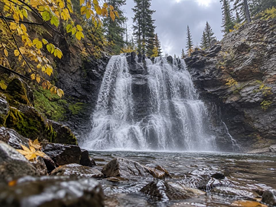 ModerateRockwell Falls Trail7 mi · 4 hr · 0.1 mi awayBeaver ponds and lake views set up two wooded cascades.
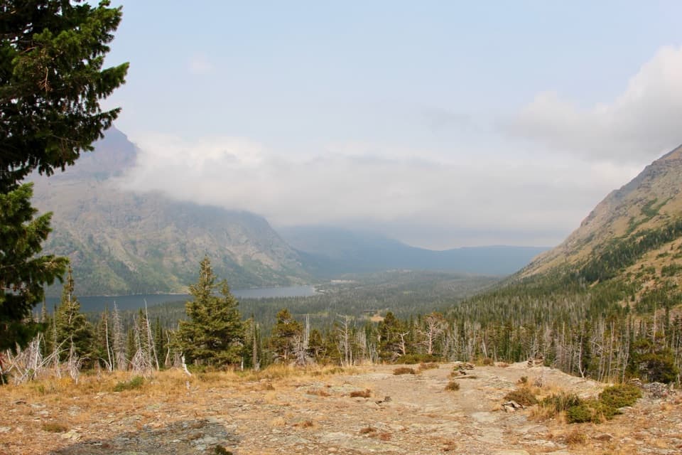 ModerateAster Park Trail4 mi · 3 hr · 0.1 mi awayA steep climb ends above Two Medicine Lake.
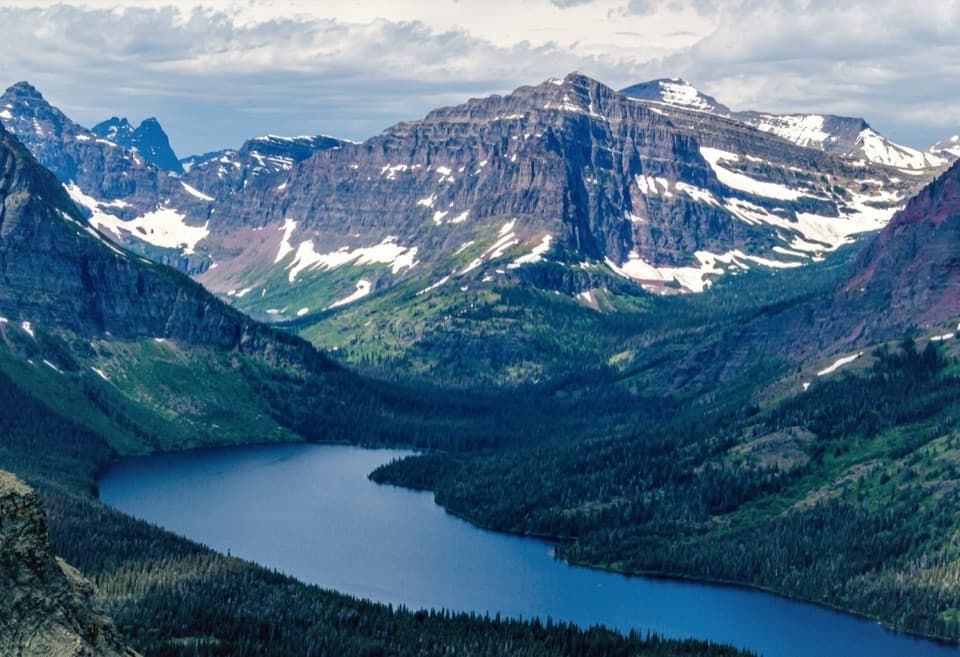 ChallengingScenic Point Trail7.6 mi · 5.5 hr · 0.4 mi awayClimb through weathered pines to a ledge above lakes and plains.
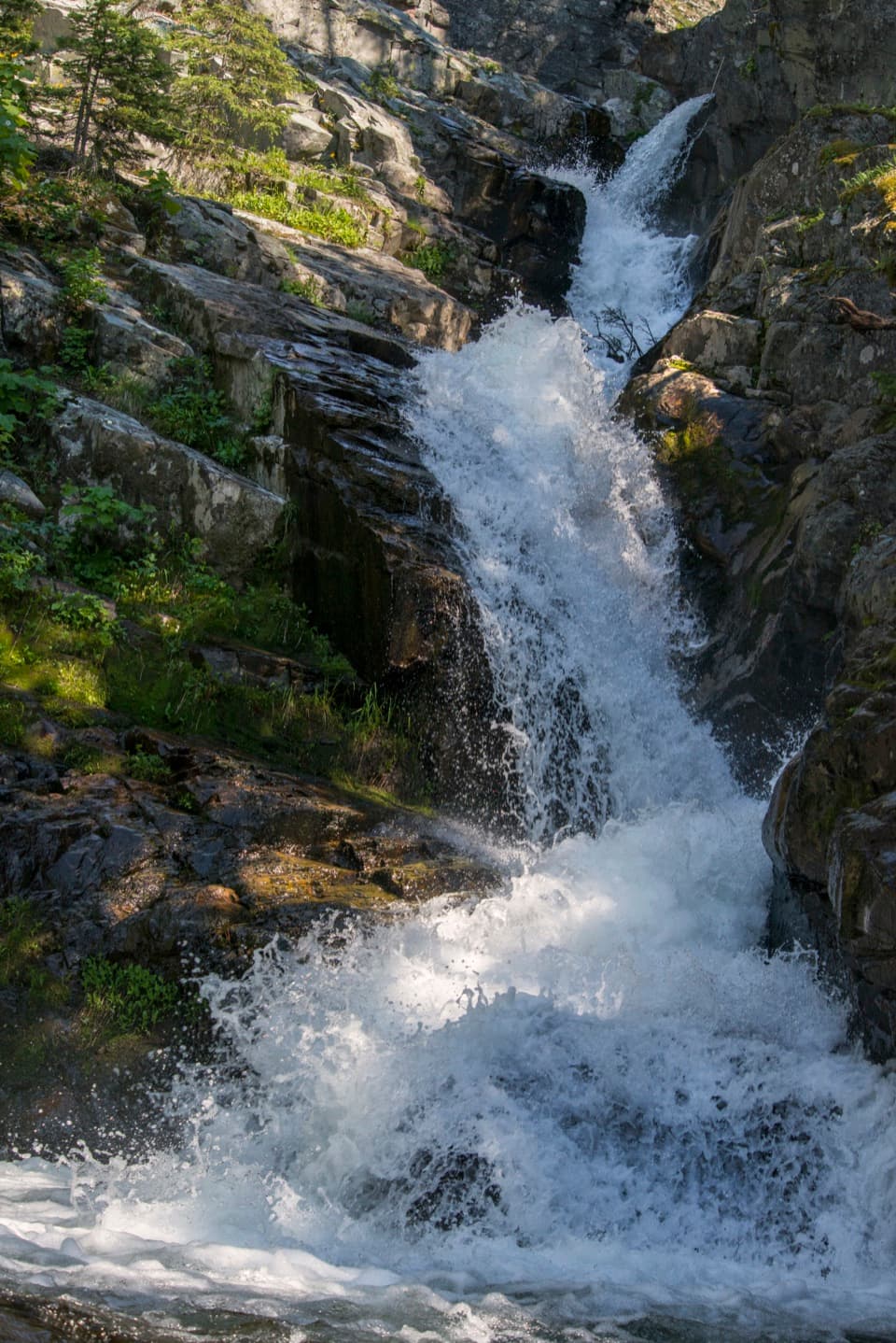 EasyAppistoki Falls Trail1.2 mi · 1 hr · 0.4 mi awayA quick falls walk, with most of the gorge view screened.
 EasyTwin Falls Trail7 mi · 4 hr · 0.6 mi awayTwo cascades, with a boat shortcut for a quicker approach.
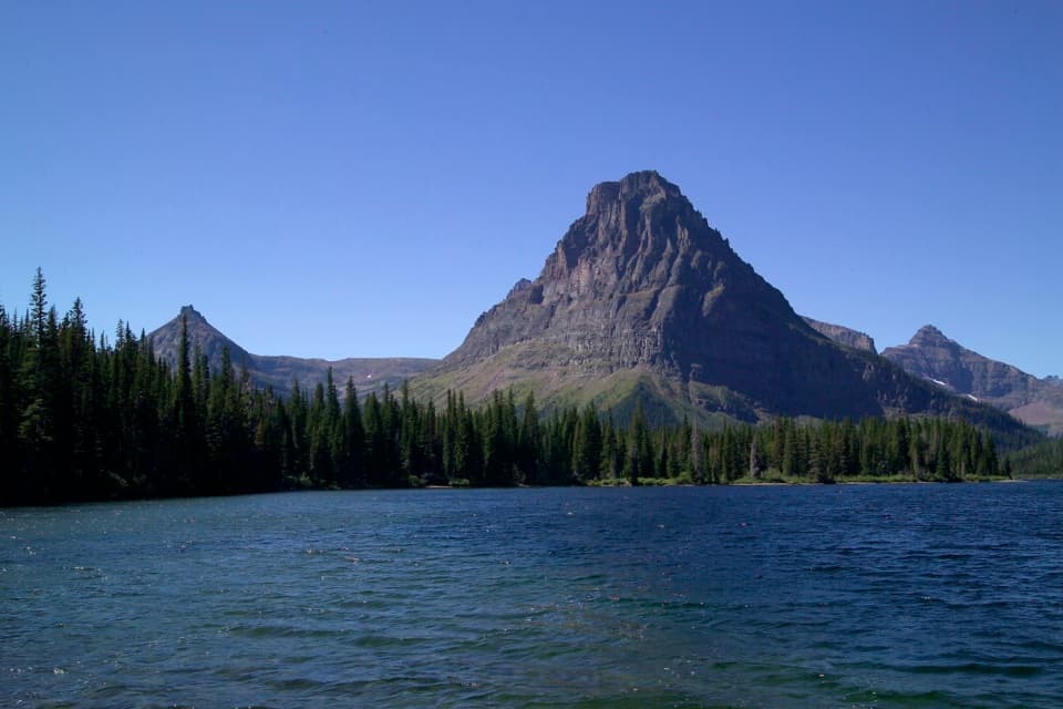 Sight · 0.1 mi awayTwo Medicine LakeA boat ride adds a fresh angle on Sinopah Mountain.
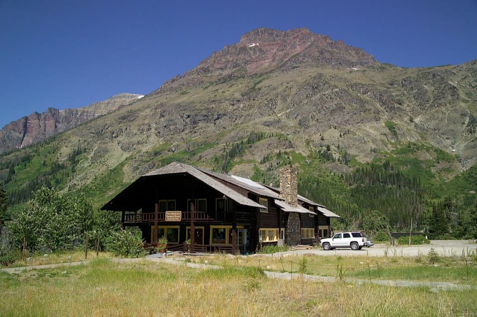 Store · 0.1 mi awayTwo Medicine CampstorePick up supplies in a historic chalet hall beside the lake.
 Campground · 0.2 mi awayTwo Medicine CampgroundA shady lakeside base with hikes starting from camp.Beach · 0.3 mi awayParadise PointA short walk to a small beach with striking Two Medicine views.Sight · 0.8 mi awayAppistoki FallsA short waterfall walk with a partly screened view.
 Sight · 0.9 mi awayAster FallsA forest walk to a 20-foot cascade in three drops.
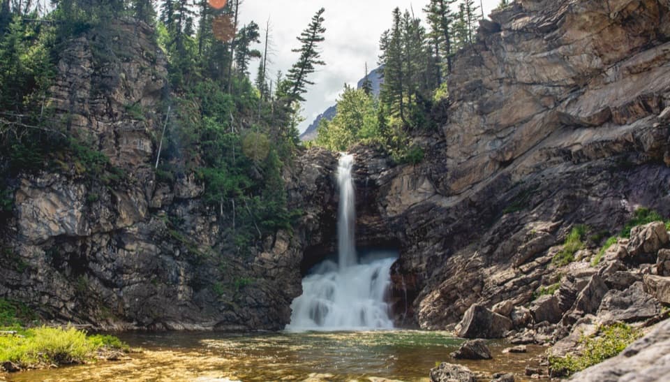 Sight · 1.3 mi awayRunning Eagle FallsSeasonal flow changes which tier of the falls shows.
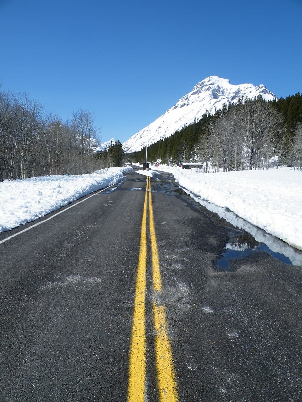 Entrance station · 2.4 mi awayTwo Medicine Entrance StationA separate entrance for Two Medicine's lake and trail area.
Parkwolf’s Glacier ranking

The audio tour guide for the drive, plus offline maps, trails, and wildlife heatmaps for when the signal drops.





