Parking
Use the 1913 Ranger Station / Red Eagle Trailhead parking area, about 0.2 mile east of the St. Mary Entrance. Follow the gravel access to the station; NPS lists car and bus/RV parking and a vault/composting toilet.

Glacier National Park, MT
A gentle loop past a beaver pond and the 1913 Ranger Station
Overview
Map & elevation
Plan your hike

The highest, rockiest slopes around here are a summer buffet for grizzly bears.
Glacier Tour Guide
Parkwolf is a GPS audio tour guide for Glacier National Park. As you drive, it chimes in with what’s ahead: hidden gems, upcoming stops, history, geology, and wildlife, right through your car’s speakers.
See the Glacier audio tourRecorded for this area
St. Mary Visitor Center“You’re approaching St. Mary Visitor Center, just inside the east entrance. Stop here if you want help choosing walks or understanding what you’ll see along the road.”
Plays on the road 0.6 mi from the trailhead in the Parkwolf Glacier Tour Guide.
More stories near here in the app
“Our first time to glacier and we used the audio portion for Going to the Sun Road. Wonderful information with perfect advice of what to see and do along the road.”


Trail guide
Beaver Pond Loop is a 3.3-mile circuit from the 1913 Ranger Station through conifers, a fire-scarred ridge, aspen and meadows to its namesake pond, then back on the Red Eagle Trail. It’s a good choice for a relaxed walk with a bit of history and wildlife; don’t expect a big alpine viewpoint. Allow about two hours with stops. NPS calls it relatively flat, though its trailhead page lists 418 feet of climbing and the St. Mary hiking list gives a much lower figure. Plan for rolling ground, not a level boardwalk.
Start on the east branch from the Ranger Station parking area and follow Beaver Pond Trail south. After about 1.9 miles, at the Red Eagle junction, turn right to close the loop. The left branch continues toward Red Eagle Lake and is a much longer hike. The core circuit is 3.3 miles; a short side path near the end drops to the St. Mary Lake shore and adds walking, so the shoreline detour is not part of the mapped loop.
The trail climbs a low ridge through older conifers, then levels among open grass and aspen. Around a mile in, charred trunks mark the 2006 Red Eagle Fire, which burned more than 34,000 acres across Glacier and Blackfeet Tribal Lands. Late spring and early summer bring wildflowers to the ridge meadows.
You reach the main beaver pond before the junction. A short spur, about 100 yards beyond it, leads down to marshy shore. Moose use this wet edge as habitat, especially in morning and evening, though sightings are never a sure thing. Past visits have also recorded buffleheads, red-winged blackbirds and cedar waxwings here. Keep the stop quiet and give wildlife room.
The historic station is just off the start. Built in 1913, it was among the first Park Service structures on Glacier’s east side and housed rangers until 1969. It was added to the National Register in 1972 and restored to its early appearance in 1976. The Lubec Barn nearby was built at the park’s southern boundary in 1926 and moved here in 1977. Near the end of the loop, the optional St. Mary Lake shoreline spur is the best place for a lake-and-mountain photograph.
NPS describes this as a summer hiking route and a winter ski or snowshoe route. Dogs and other pets aren’t allowed on Glacier trails, including this one.
Wildlife
 404 sightingsGrizzly BearMost seen around 6 AMSighting map
 11 sightingsWolverineMost seen around 8 PMSighting map
 1,173 sightingsMountain GoatMost seen around 6 AMSighting map
 1,000 sightingsBighorn SheepMost seen around 6 AMSighting map
 395 sightingsMooseMost seen around 6 AMSighting map
 506 sightingsBlack BearMost seen around 8 PMSighting map
Sighting maps show where each species has been reported across Glacier. Wildlife moves, so no sighting is guaranteed.
Keep exploring
 ChallengingRed Eagle Lake Trail16.2 mi · 8.5 hr · At the trailheadA long walk from St. Mary meadows to Red Eagle Lake.
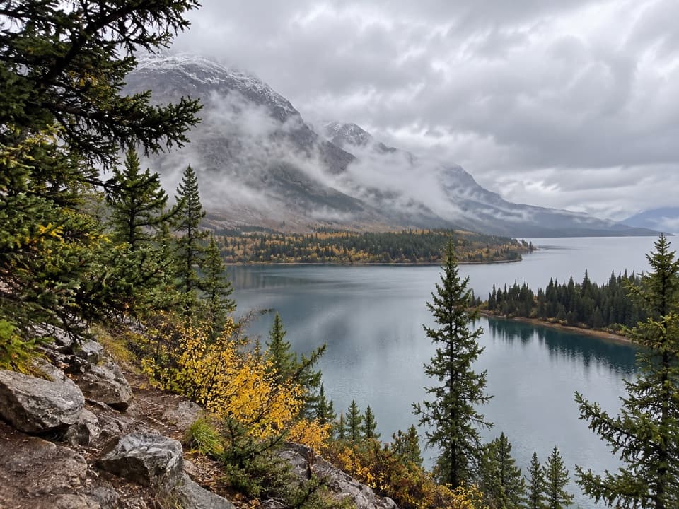 ChallengingSouth Shore St. Mary Lake Trail16.4 mi · 9.5 hr · 0.1 mi awayMeadows, lakeshore forest, and two waterfalls on a long traverse
 ChallengingDivide Creek Trail2.5 mi · 2.5 hr · 2.2 mi awayA hard-to-find old road through burned forest to Divide Creek.
 EasyRising Sun Trail0.8 mi · 30 min · 4.8 mi awayA level lakeshore walk through aspens to the boat launch.
 ChallengingOtokomi Lake Trail11 mi · 7 hr · 4.8 mi awayWaterfalls and a fire-scar meadow give way to a red-cliff lake.
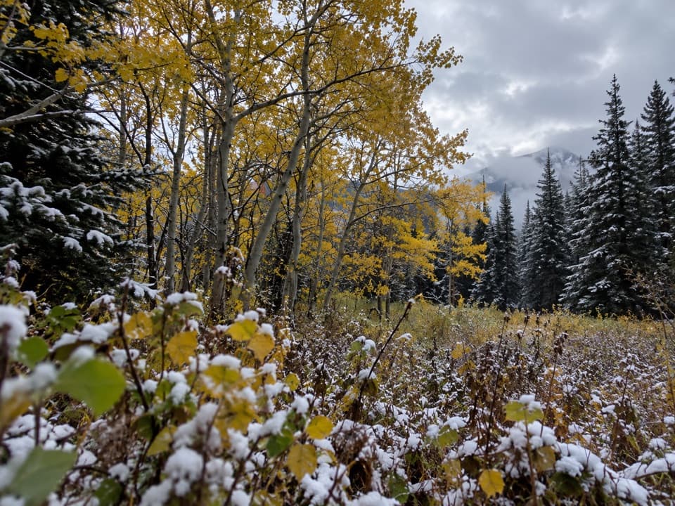 ChallengingSherburne Boundary Trail3.1 mi · 3 hr · 7.4 mi awayA steep climb to a small meadow on Boulder Ridge.
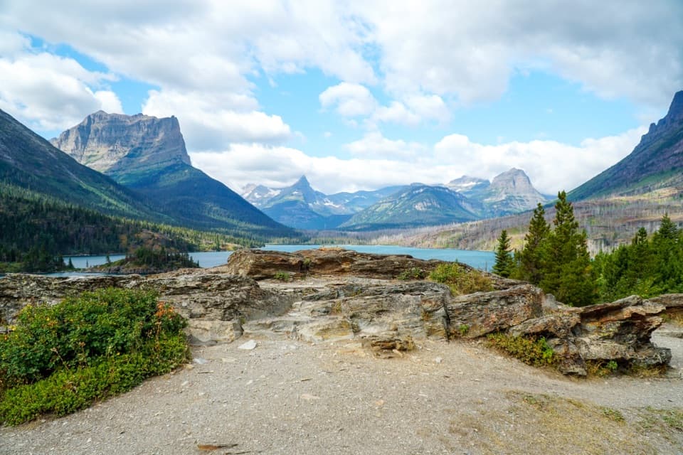 EasySun Point Nature Trail0.9 mi · 30 min · 7.9 mi awayWalk from a historic lakeside overlook toward Sunrift Gorge.
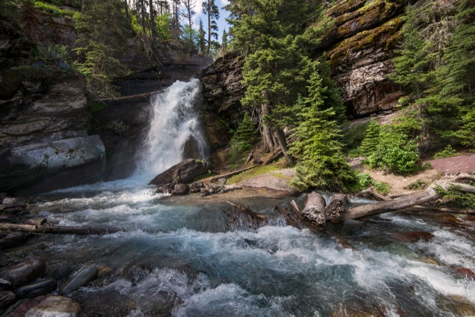 EasyBaring Falls Trail0.7 mi · 36 min · 8.3 mi awayA short creekside walk to a 25-foot waterfall.
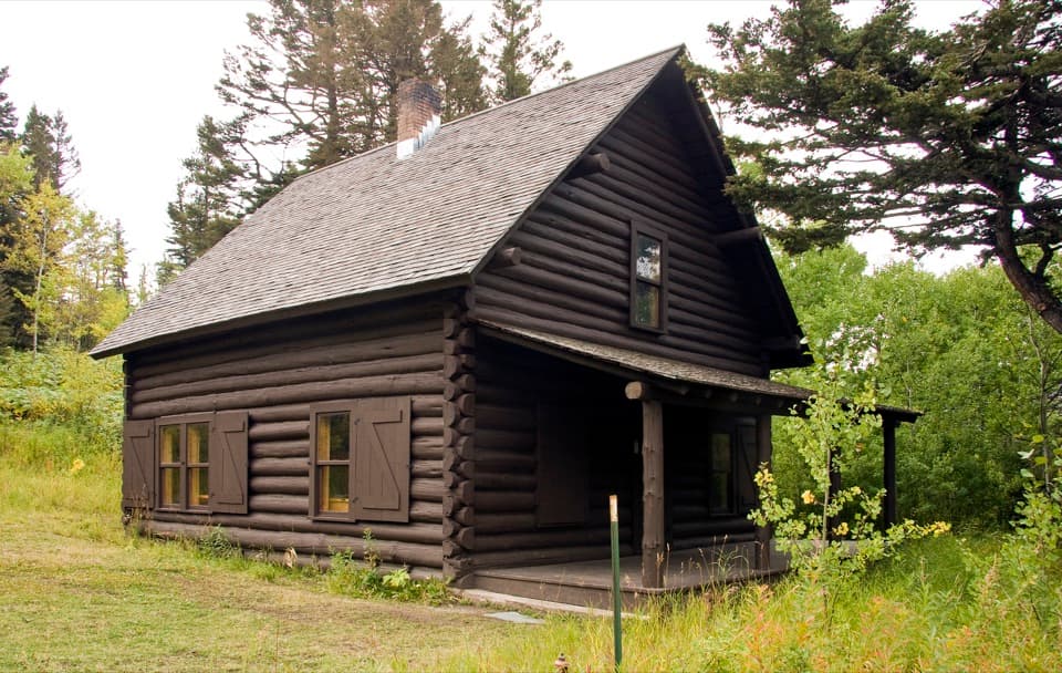 Sight · 0.1 mi awayHistoric 1913 Ranger StationA 1913 cabin with a ranger story, beside two trailheads.
 Entrance station · 0.6 mi awaySt. Mary Entrance StationGet your park pass sorted before you head west.
 Visitor center · 0.6 mi awaySt. Mary Visitor CenterAn east-gate stop for ranger advice, exhibits, water, and the shuttle.
 Campground · 0.9 mi awaySt. Mary CampgroundAn open hillside camp with wide St. Mary Lake views.
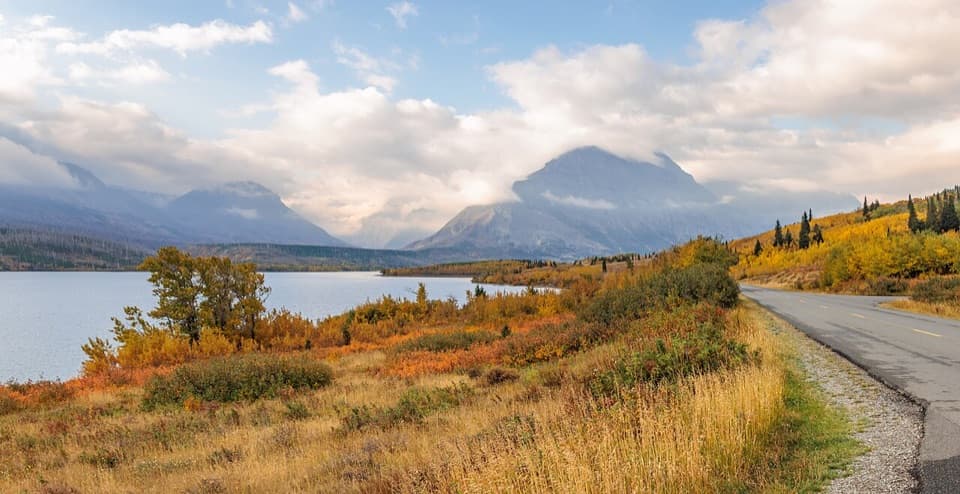 Sight · 1.4 mi awayTwo Dog FlatsA prairie-edge pause for early wildlife watching and wide views.
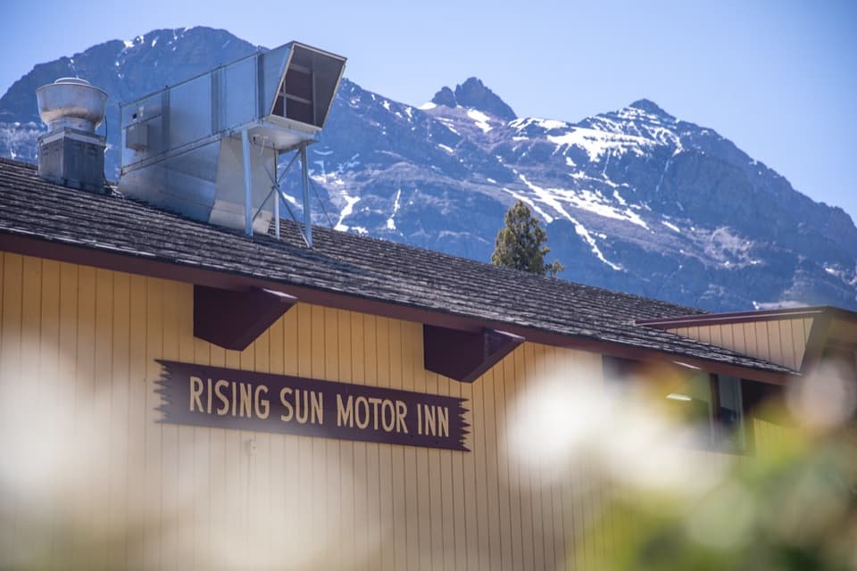 Lodging · 4.8 mi awayRising Sun Motor Inn and CabinsA rustic base near St. Mary Lake and the east-side road.
 Picnic area · 4.8 mi awayRising Sun Picnic AreaA picnic break with a short walk to St. Mary Lake.
 Campground · 5 mi awayRising Sun CampgroundAn east-side base beneath a cliff, with a trailhead next door.
Parkwolf’s Glacier ranking

The audio tour guide for the drive, plus offline maps, trails, and wildlife heatmaps for when the signal drops.





