Parking
Use the 1913 Ranger Station parking area, reached by a signed paved half-mile spur from Going-to-the-Sun Road between the town of St. Mary and the East Entrance.

Glacier National Park, MT
A long walk from St. Mary meadows to Red Eagle Lake.
Overview
Map & elevation
Plan your hike

The highest, rockiest slopes around here are a summer buffet for grizzly bears.
Glacier Tour Guide
Parkwolf is a GPS audio tour guide for Glacier National Park. As you drive, it chimes in with what’s ahead: hidden gems, upcoming stops, history, geology, and wildlife, right through your car’s speakers.
See the Glacier audio tourRecorded for this area
St. Mary Visitor Center“You’re approaching St. Mary Visitor Center, just inside the east entrance. Stop here if you want help choosing walks or understanding what you’ll see along the road.”
Plays on the road 0.6 mi from the trailhead in the Parkwolf Glacier Tour Guide.
More stories near here in the app
“Our first time to glacier and we used the audio portion for Going to the Sun Road. Wonderful information with perfect advice of what to see and do along the road.”


Trail guide
Red Eagle Lake Trail is a 16.2-mile out-and-back from the 1913 Ranger Station to the foot of Red Eagle Lake, then back on the same route. Plan on 8.1 miles each way and about 8 to 9 hours with a break at the shore. Published one-way figures differ, from 7.5 to 8.1 miles, so use the longer figure for planning. The hike feels demanding because of its length and remote setting more than one steep push. Elevation reports also disagree, from about 200 feet of gain to roughly 1,100 feet of gain and loss. The mapped profile rises about 190 feet net to the shore, with rolling ground in between; mileage is the more dependable measure of the day.
The first stretch follows the south side of St. Mary Lake through fir, then opens into long meadows. Around two miles in, the route reaches old-growth fir forest burned in 2006. The meadows and open burn areas can be rich with flowers in spring and early summer. There is little shade once you leave the fir, so a cool early start makes the long crossing easier.
Near mile five, keep left where the St. Mary Lake Trail branches right. That fork continues toward St. Mary Falls and the Going-to-the-Sun Road; the Red Eagle route follows the creek toward the lake. Footbridges cross the stream. From here the trail climbs gently along the creek, with views opening toward the surrounding peaks.
The day-hike route reaches the Foot campground, where a short path leads to the shore. Look across the water toward Split and Norris Mountains and Logan Peak; Red Eagle Mountain fills the northwest shoreline. That open water and the peaks beyond make the strongest photo view. Head campground is about a mile farther along the shore and gives a different view back toward the foot. That extension, and the route over Triple Divide Pass, are longer trips outside this 16.2-mile out-and-back.
Wildlife
 404 sightingsGrizzly BearMost seen around 6 AMSighting map
 11 sightingsWolverineMost seen around 8 PMSighting map
 1,173 sightingsMountain GoatMost seen around 6 AMSighting map
 1,000 sightingsBighorn SheepMost seen around 6 AMSighting map
 395 sightingsMooseMost seen around 6 AMSighting map
 506 sightingsBlack BearMost seen around 8 PMSighting map
Sighting maps show where each species has been reported across Glacier. Wildlife moves, so no sighting is guaranteed.
Keep exploring
 EasyBeaver Pond Loop Trail3.3 mi · 2 hr · At the trailheadA gentle loop past a beaver pond and the 1913 Ranger Station
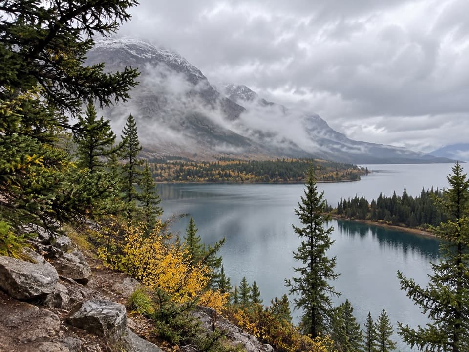 ChallengingSouth Shore St. Mary Lake Trail16.4 mi · 9.5 hr · 0.1 mi awayMeadows, lakeshore forest, and two waterfalls on a long traverse
 ChallengingDivide Creek Trail2.5 mi · 2.5 hr · 2.2 mi awayA hard-to-find old road through burned forest to Divide Creek.
 EasyRising Sun Trail0.8 mi · 30 min · 4.8 mi awayA level lakeshore walk through aspens to the boat launch.
 ChallengingOtokomi Lake Trail11 mi · 7 hr · 4.8 mi awayWaterfalls and a fire-scar meadow give way to a red-cliff lake.
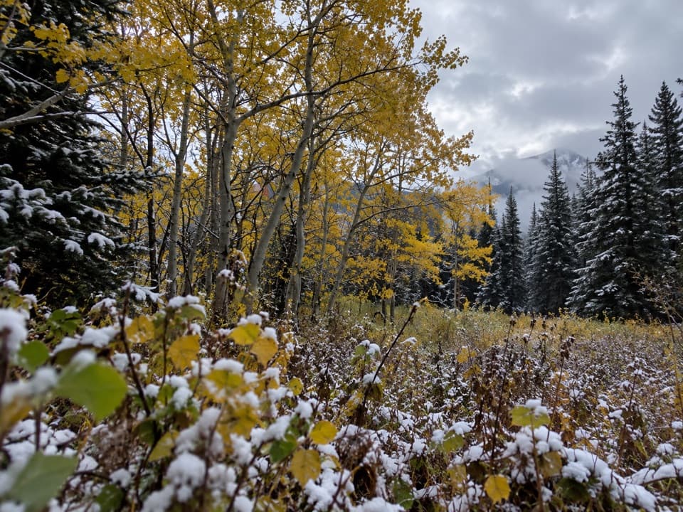 ChallengingSherburne Boundary Trail3.1 mi · 3 hr · 7.4 mi awayA steep climb to a small meadow on Boulder Ridge.
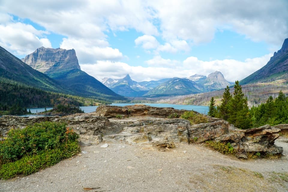 EasySun Point Nature Trail0.9 mi · 30 min · 7.8 mi awayWalk from a historic lakeside overlook toward Sunrift Gorge.
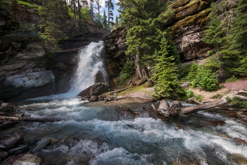 EasyBaring Falls Trail0.7 mi · 36 min · 8.3 mi awayA short creekside walk to a 25-foot waterfall.
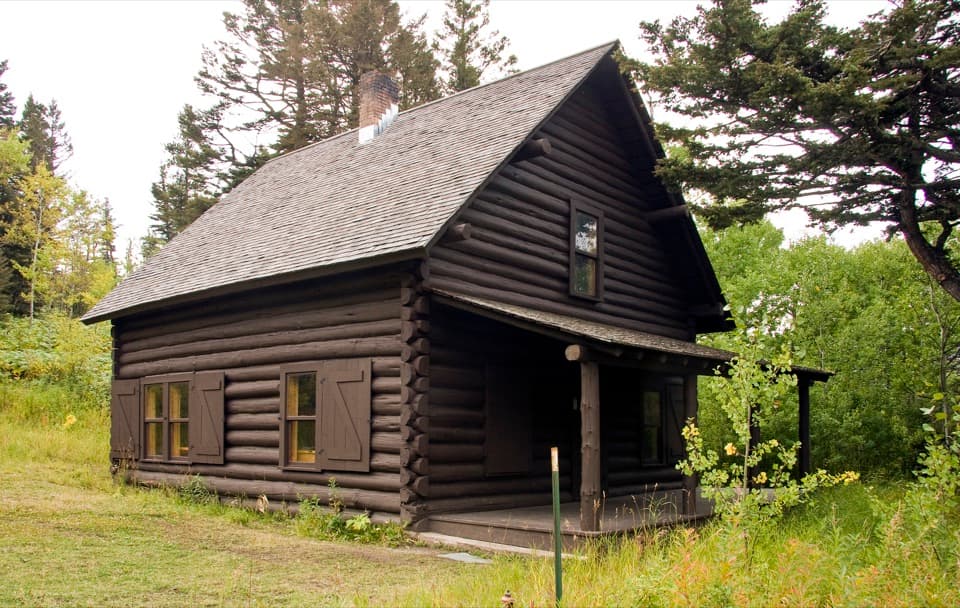 Sight · 0.1 mi awayHistoric 1913 Ranger StationA 1913 cabin with a ranger story, beside two trailheads.
 Entrance station · 0.6 mi awaySt. Mary Entrance StationGet your park pass sorted before you head west.
 Visitor center · 0.6 mi awaySt. Mary Visitor CenterAn east-gate stop for ranger advice, exhibits, water, and the shuttle.
 Campground · 0.9 mi awaySt. Mary CampgroundAn open hillside camp with wide St. Mary Lake views.
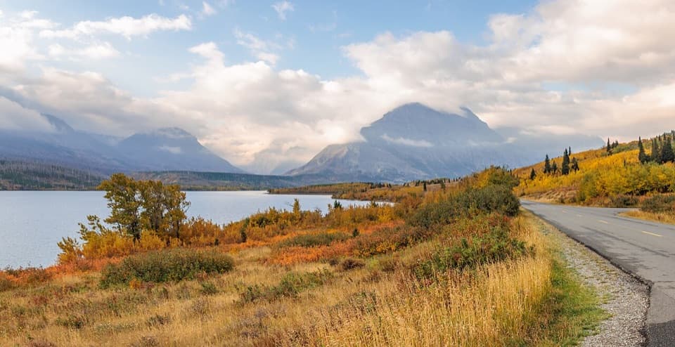 Sight · 1.4 mi awayTwo Dog FlatsA prairie-edge pause for early wildlife watching and wide views.
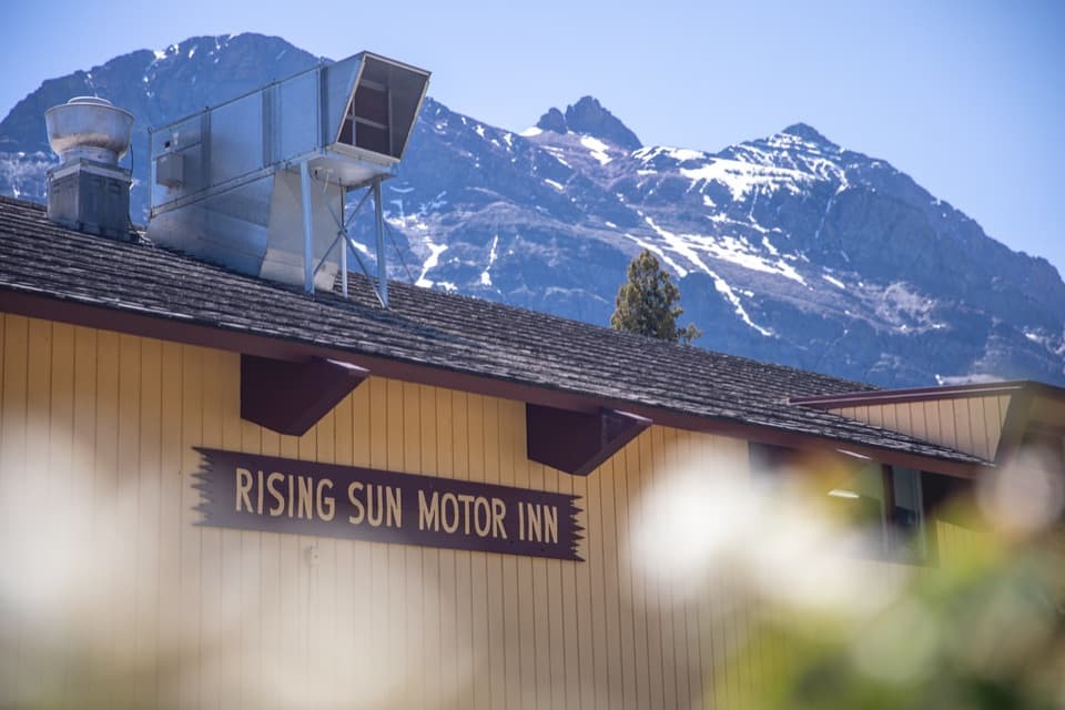 Lodging · 4.8 mi awayRising Sun Motor Inn and CabinsA rustic base near St. Mary Lake and the east-side road.
 Picnic area · 4.8 mi awayRising Sun Picnic AreaA picnic break with a short walk to St. Mary Lake.
 Campground · 4.9 mi awayRising Sun CampgroundAn east-side base beneath a cliff, with a trailhead next door.
Parkwolf’s Glacier ranking

The audio tour guide for the drive, plus offline maps, trails, and wildlife heatmaps for when the signal drops.





